Przejdź do treści
  • ulubione

dodano do ulubionych

usunięto z ulubionych

Coś poszło nie tak! Wystąpił problem. Spróbuj ponownie

Twoje konto jest właśnie tworzone

Twoje konto zostało pomyślnie utworzone i jesteś teraz zalogowany

Zalogowałeś się pomyślnie!

Twoje konto zostało pomyślnie utworzone, ale nie mogliśmy zalogować Cię automatycznie

Jesteś wylogowany

Filtr
Poziom trudności
Czas trwania
Odległość w km

Wędrówki i wspinaczka w Vinschgau

Krajobraz to dar, który najlepiej odkrywać pieszo. W południowotyrolską wiosnę podziwiasz budzącą się do życia przyrodę w dolinie i na kwitnących halach, latem czekają na Ciebie przewiewne szczyty, warte odwiedzenia schroniska górskie i wysokogórskie trasy wędrówkowe. Jesienne wędrówki zachwycają wspaniałymi widokami i intensywnymi kolorami natury.

Wyniki
Themed Hikes
Alta via Meranese - Ortles stage 3
Latsch/Laces, Vinschgau/Val Venosta

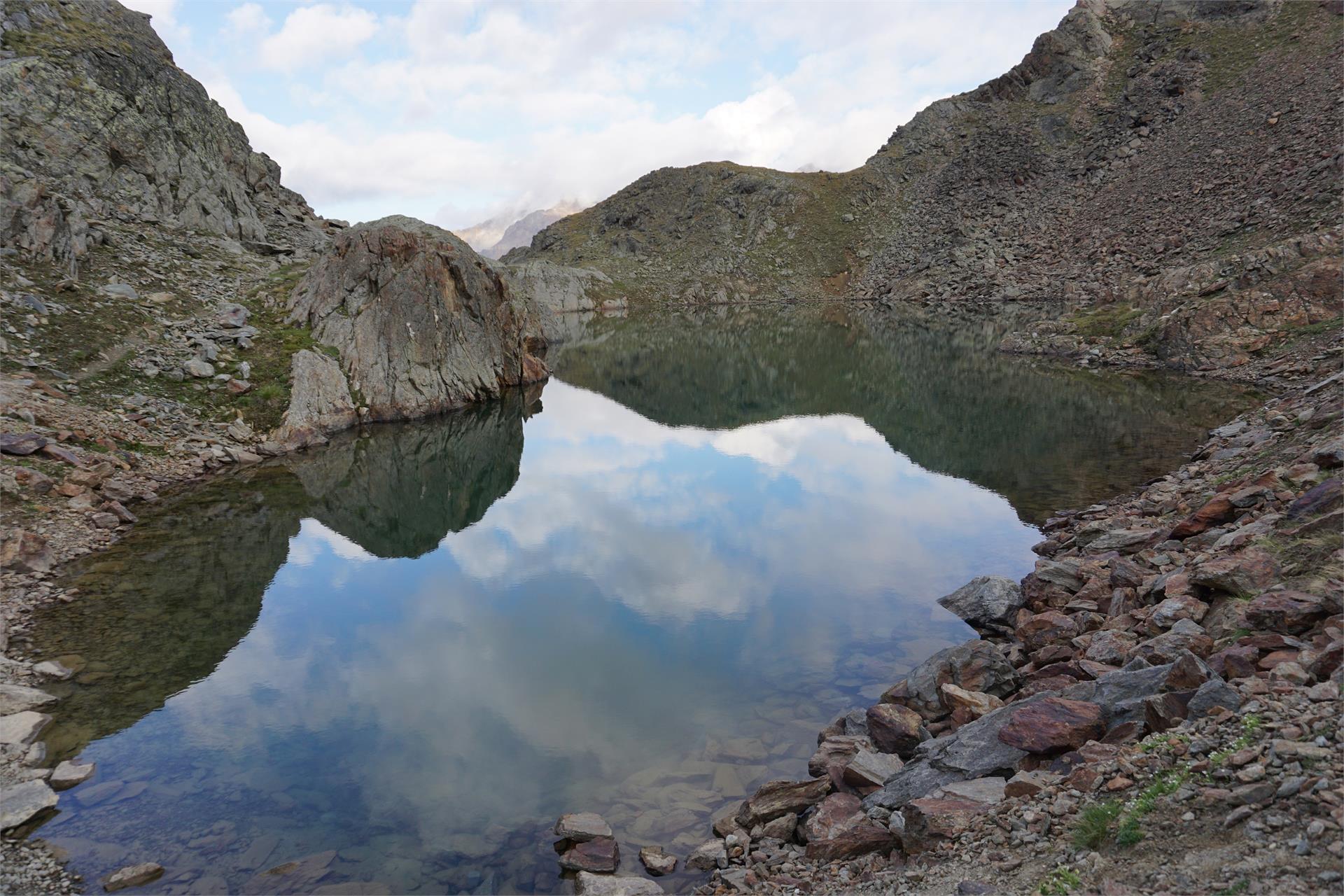
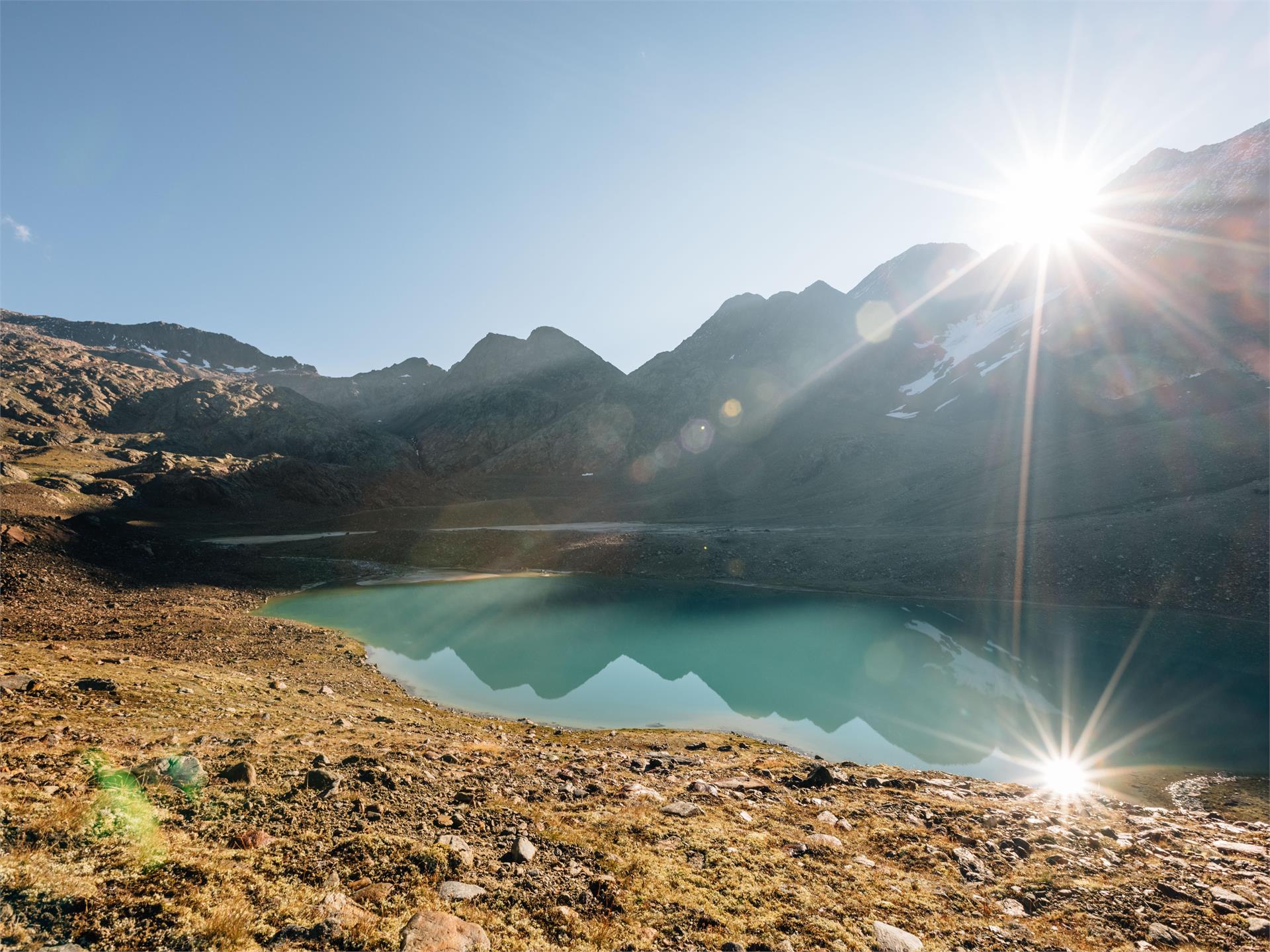
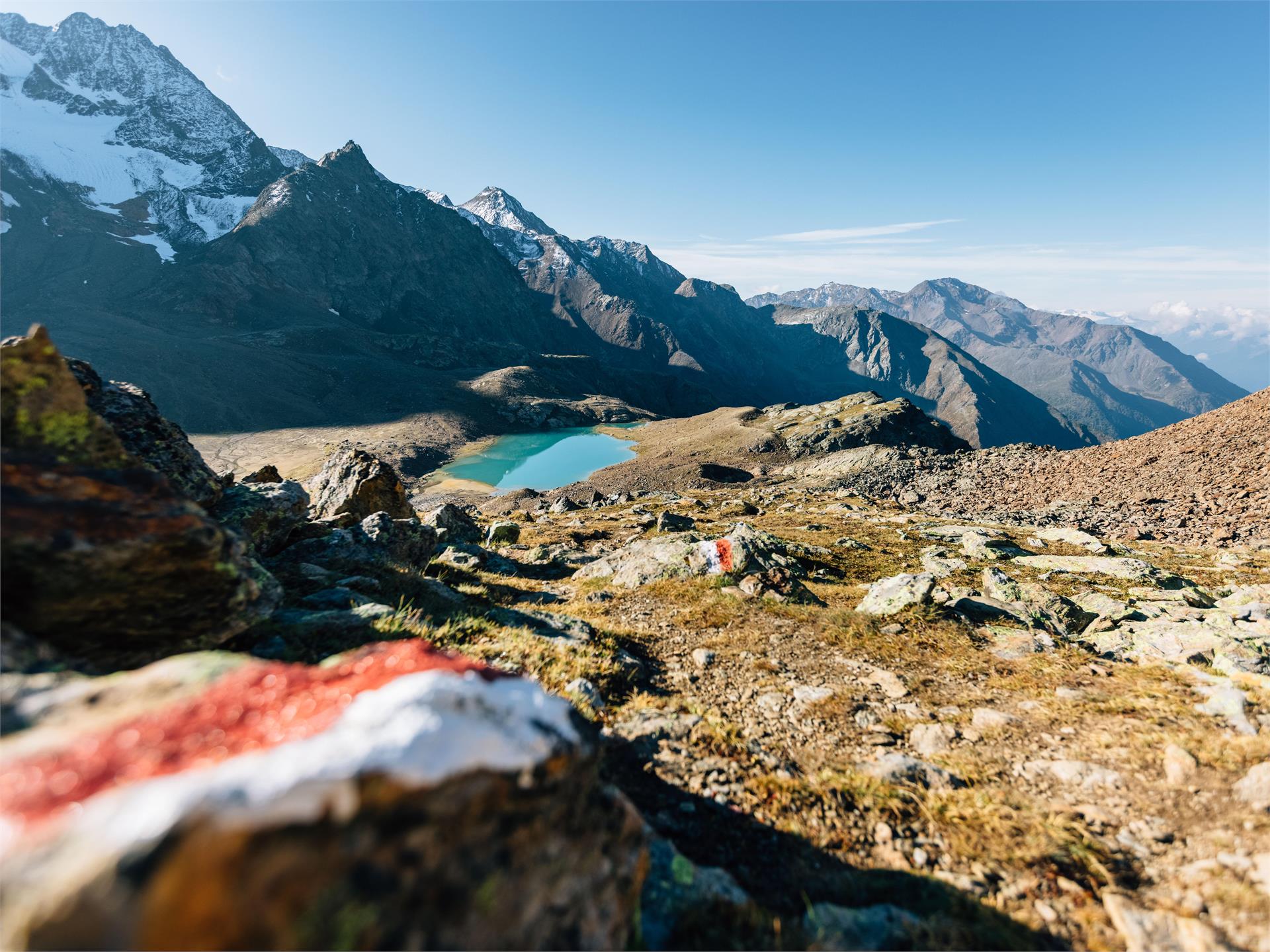
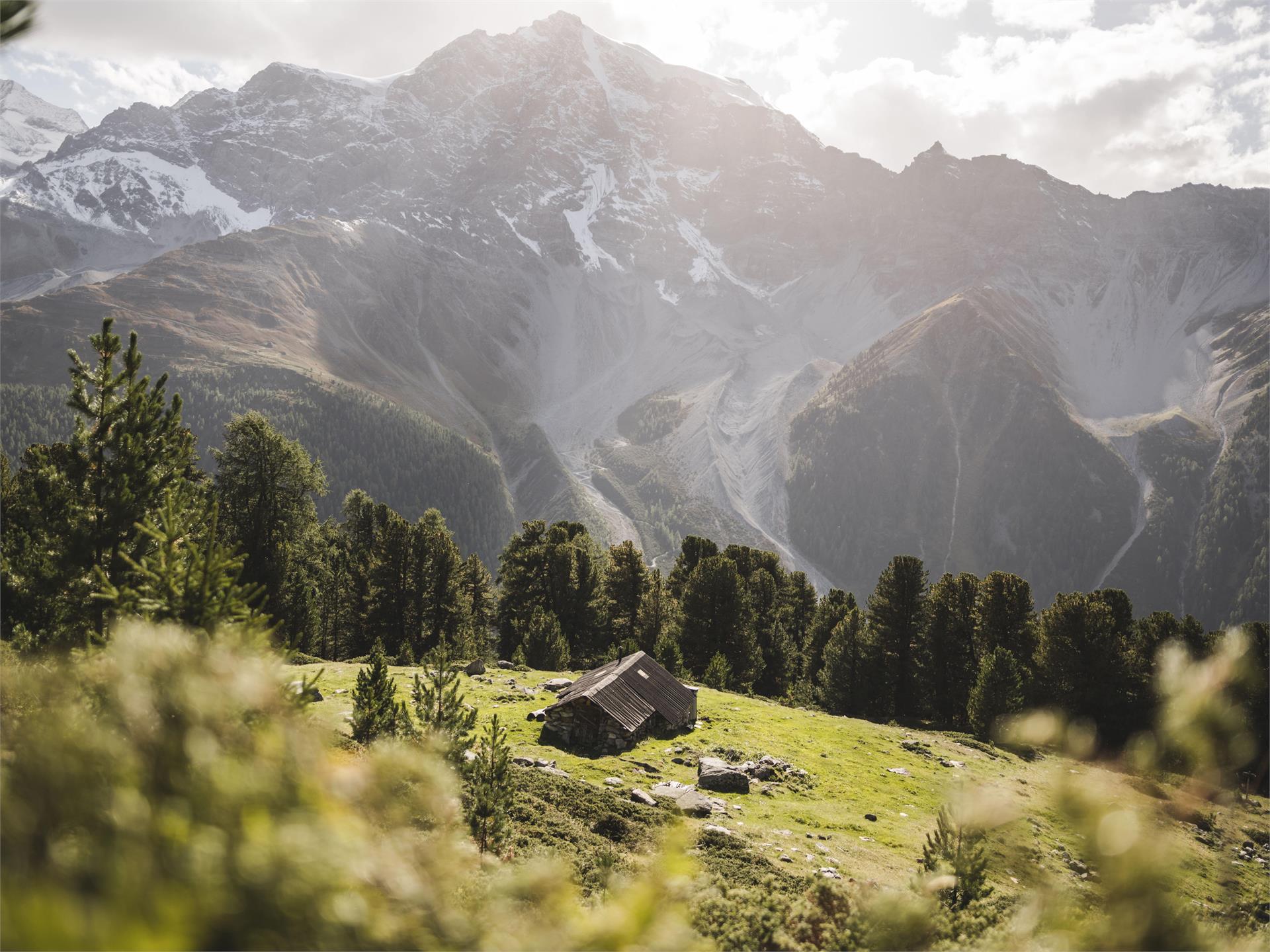
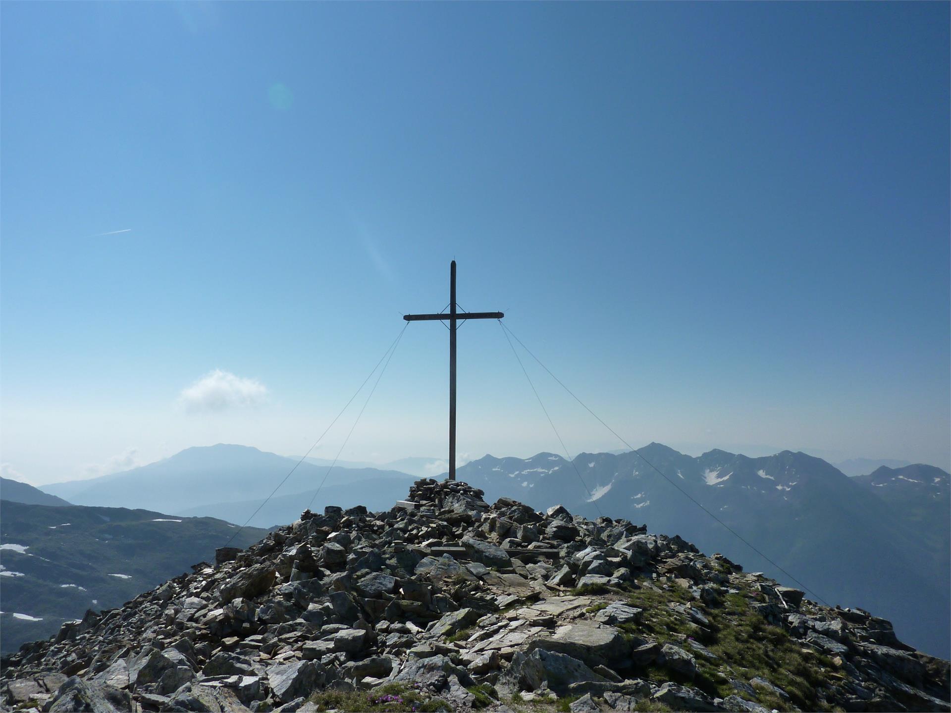
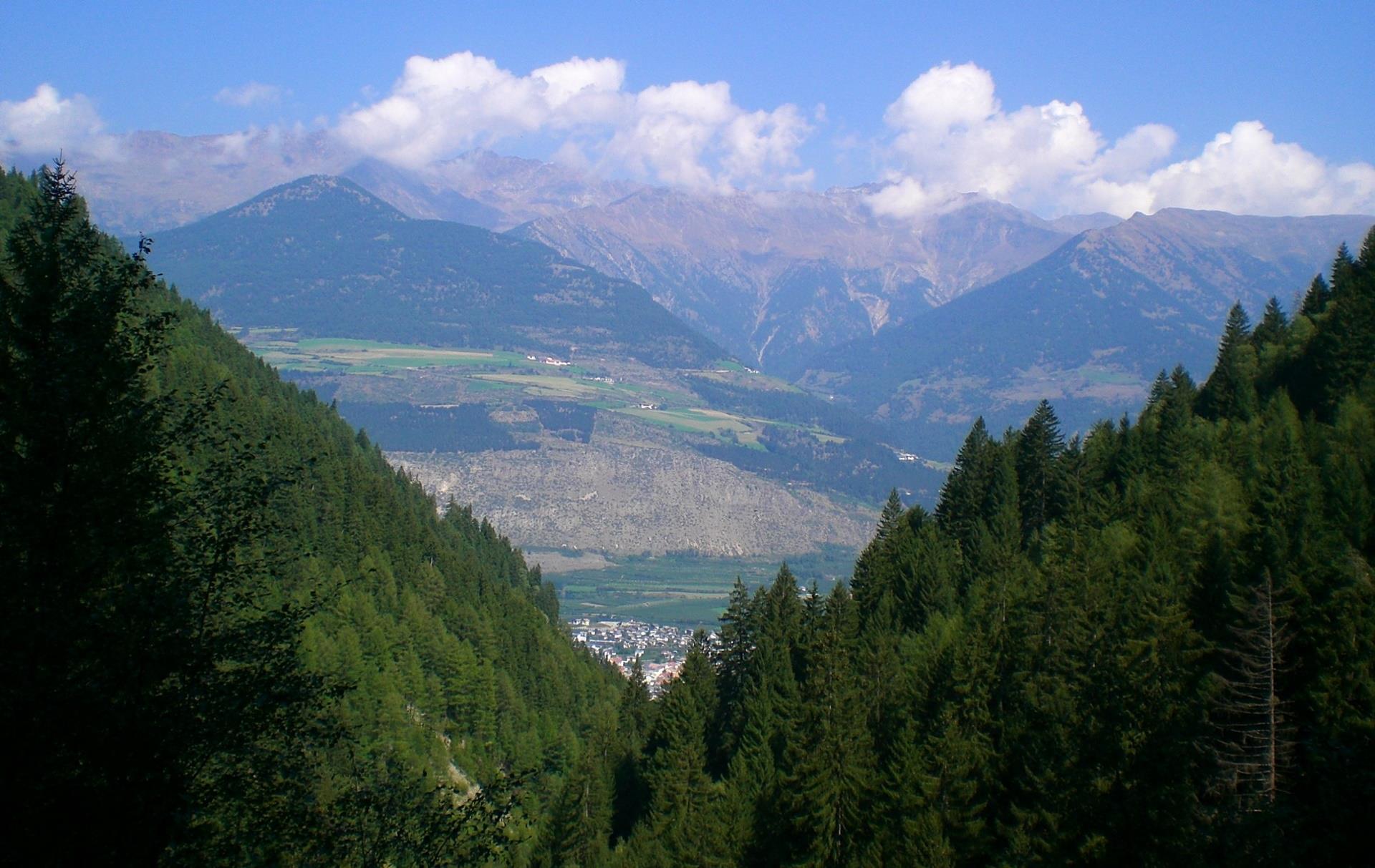
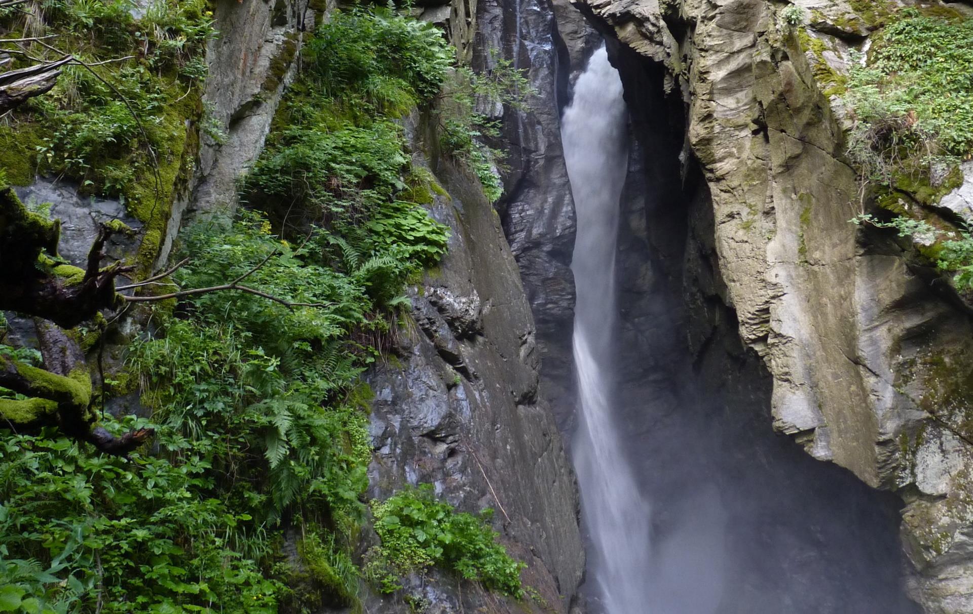
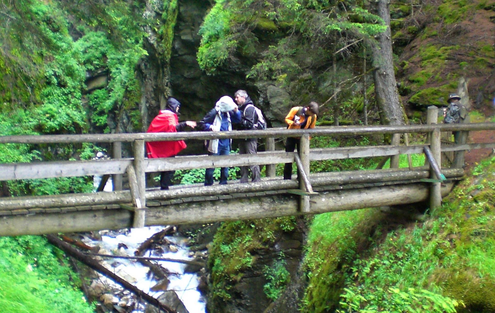
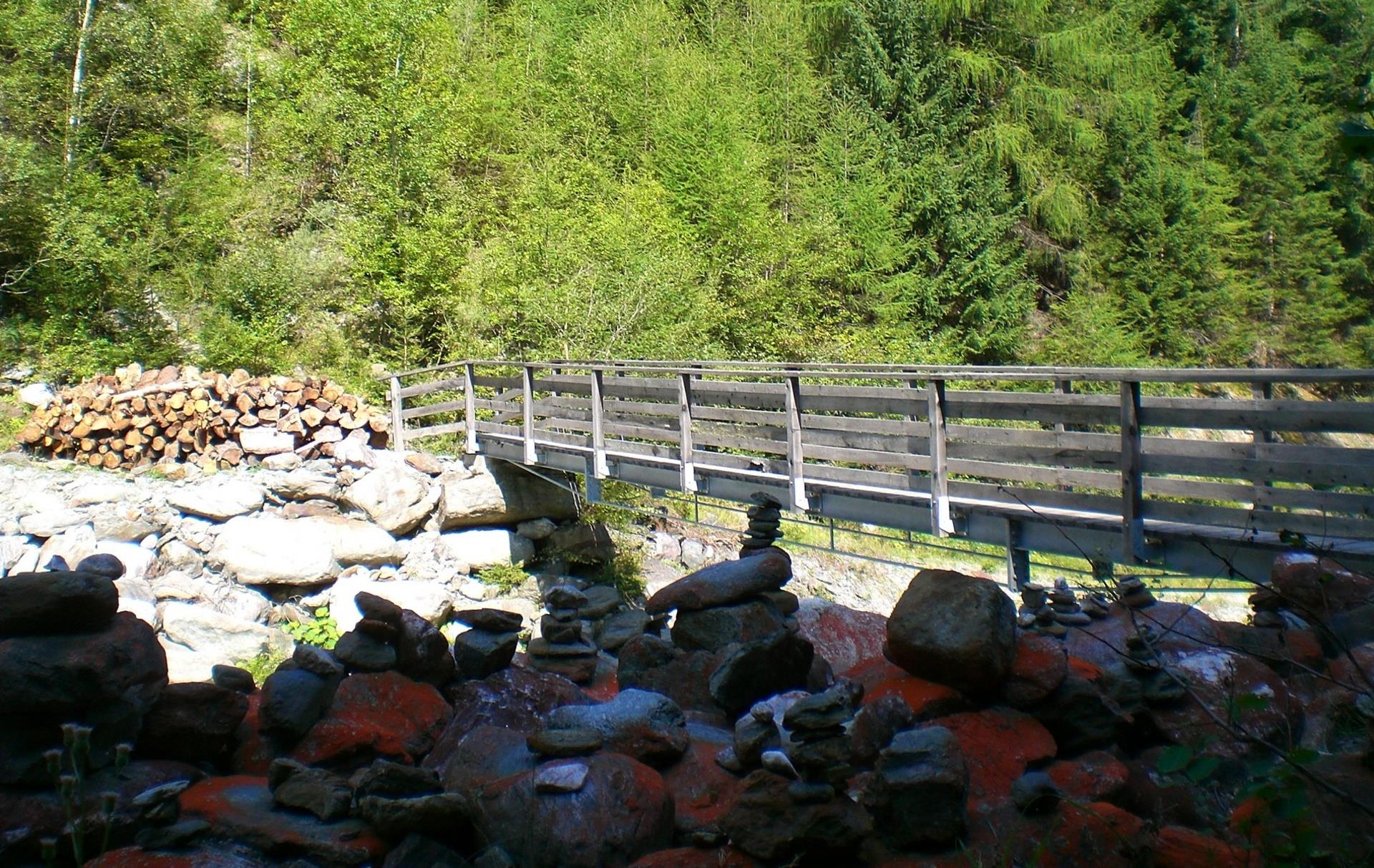
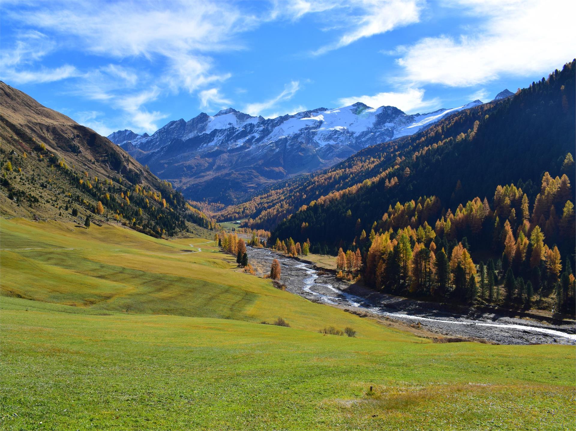
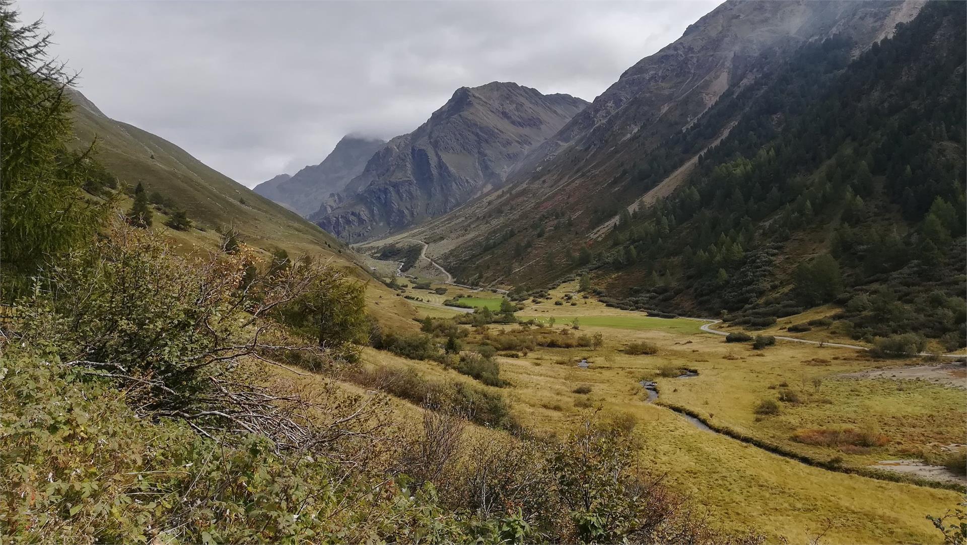
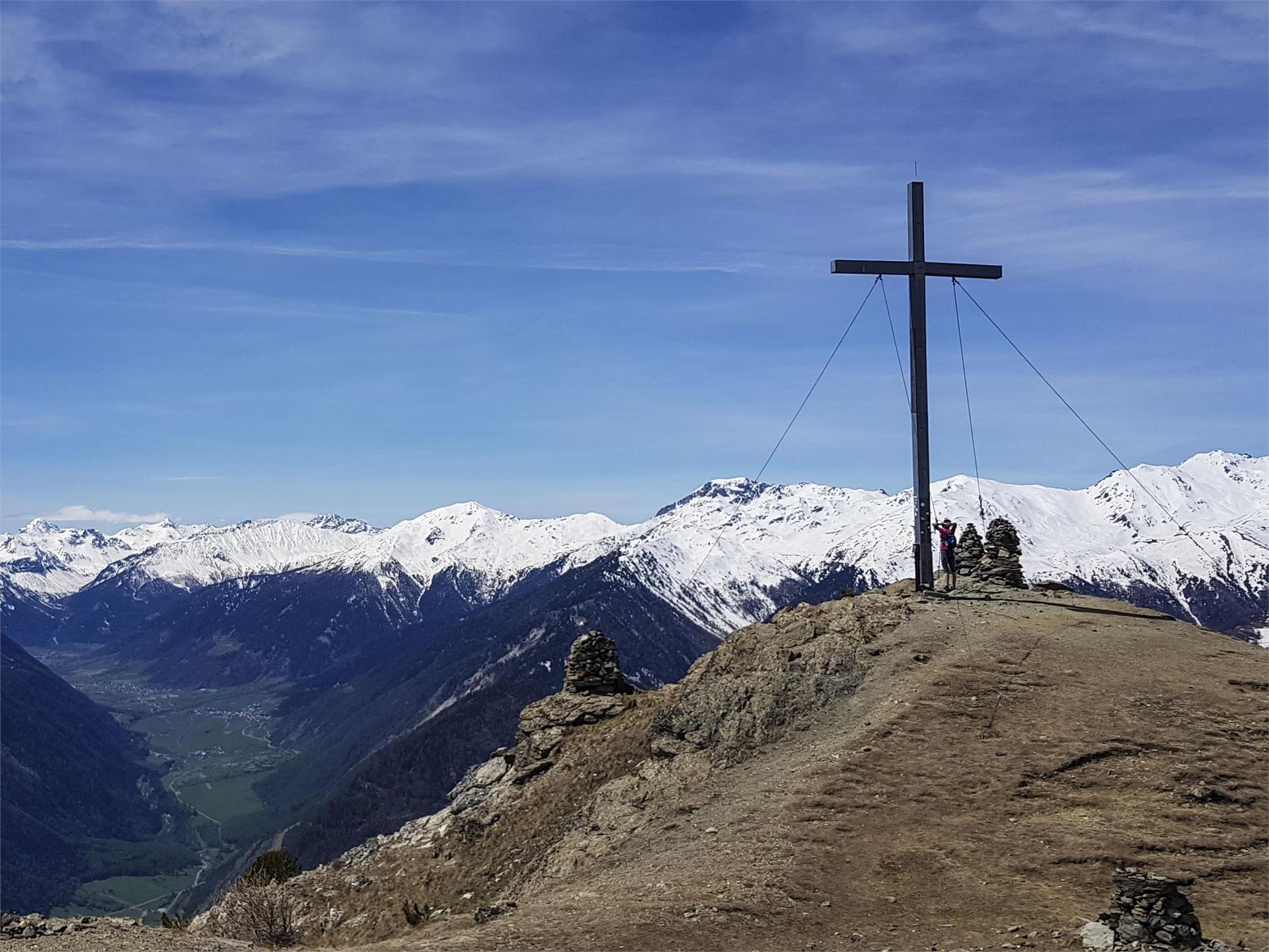
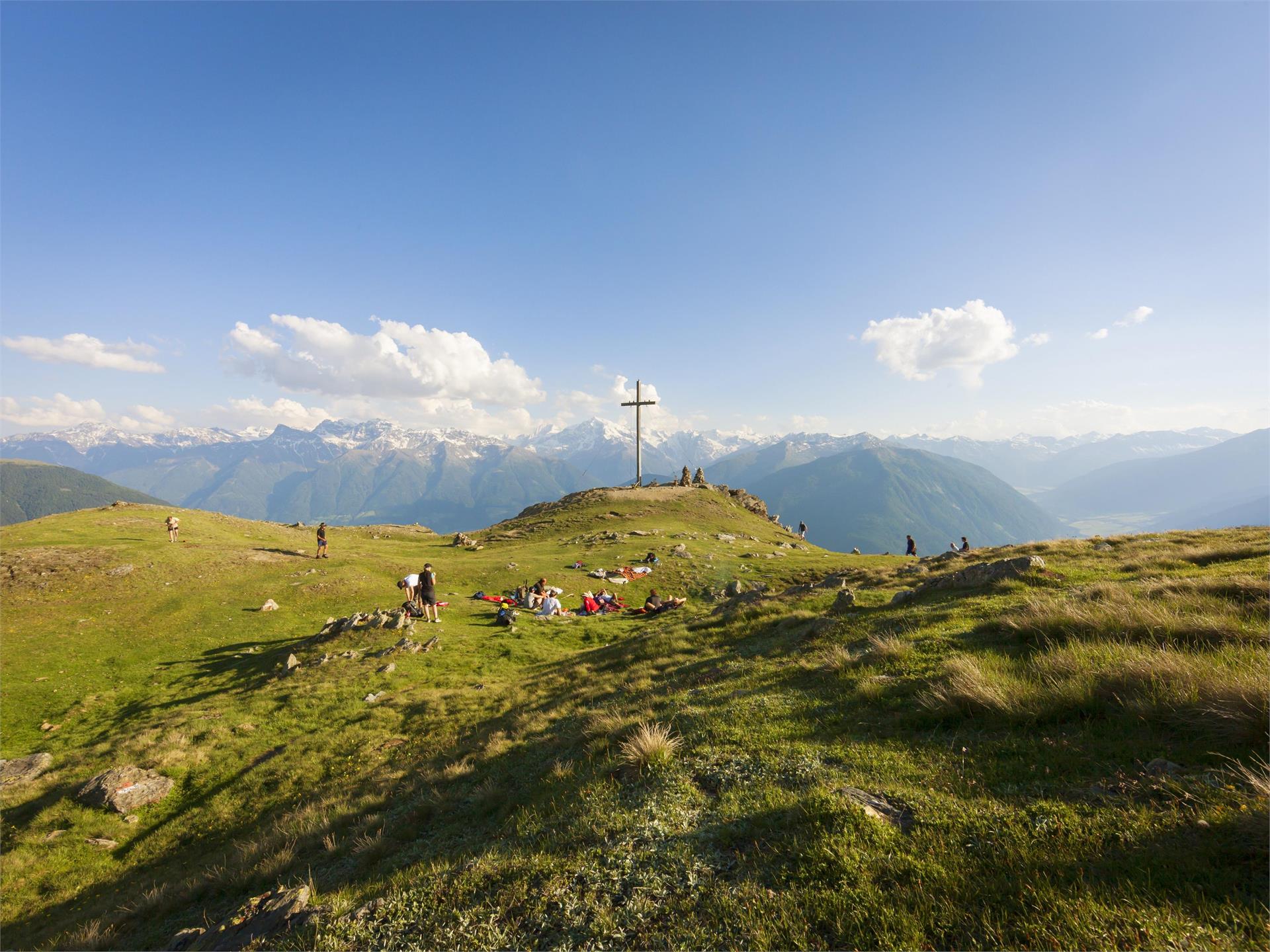
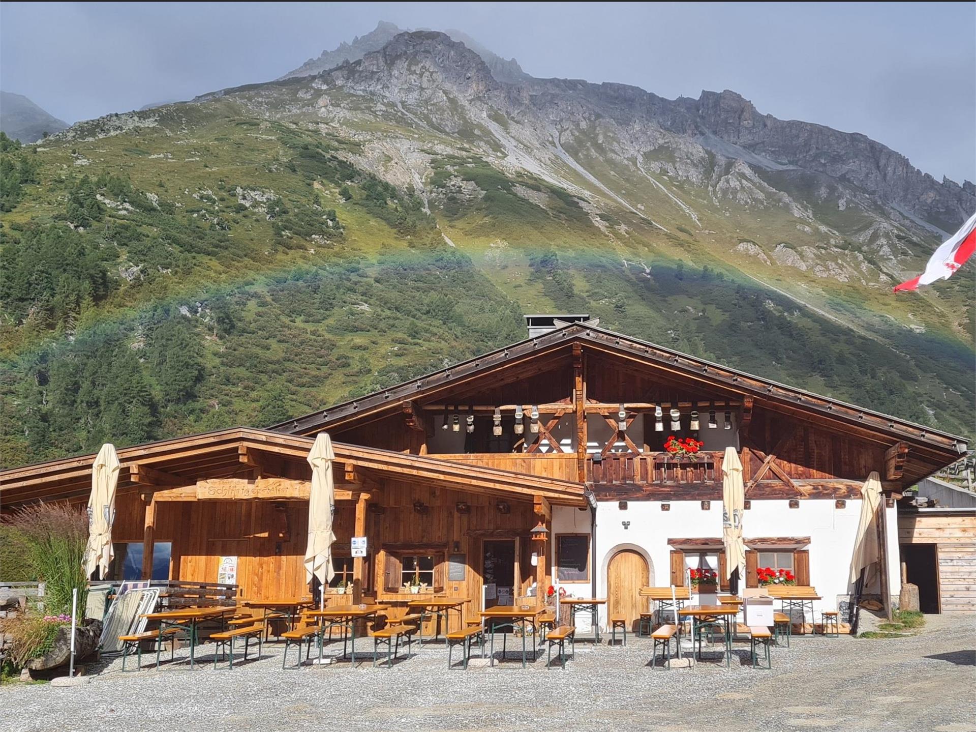
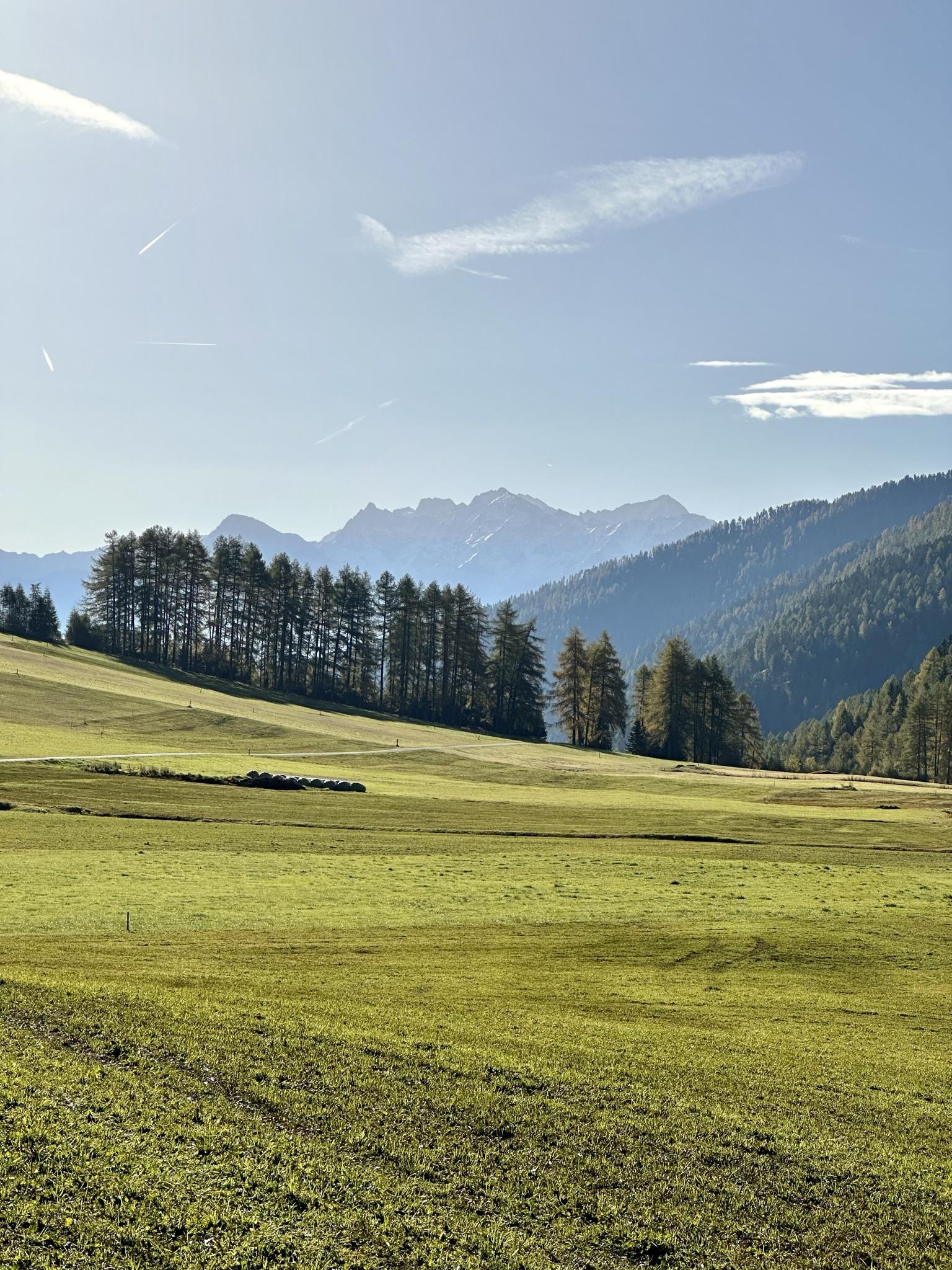
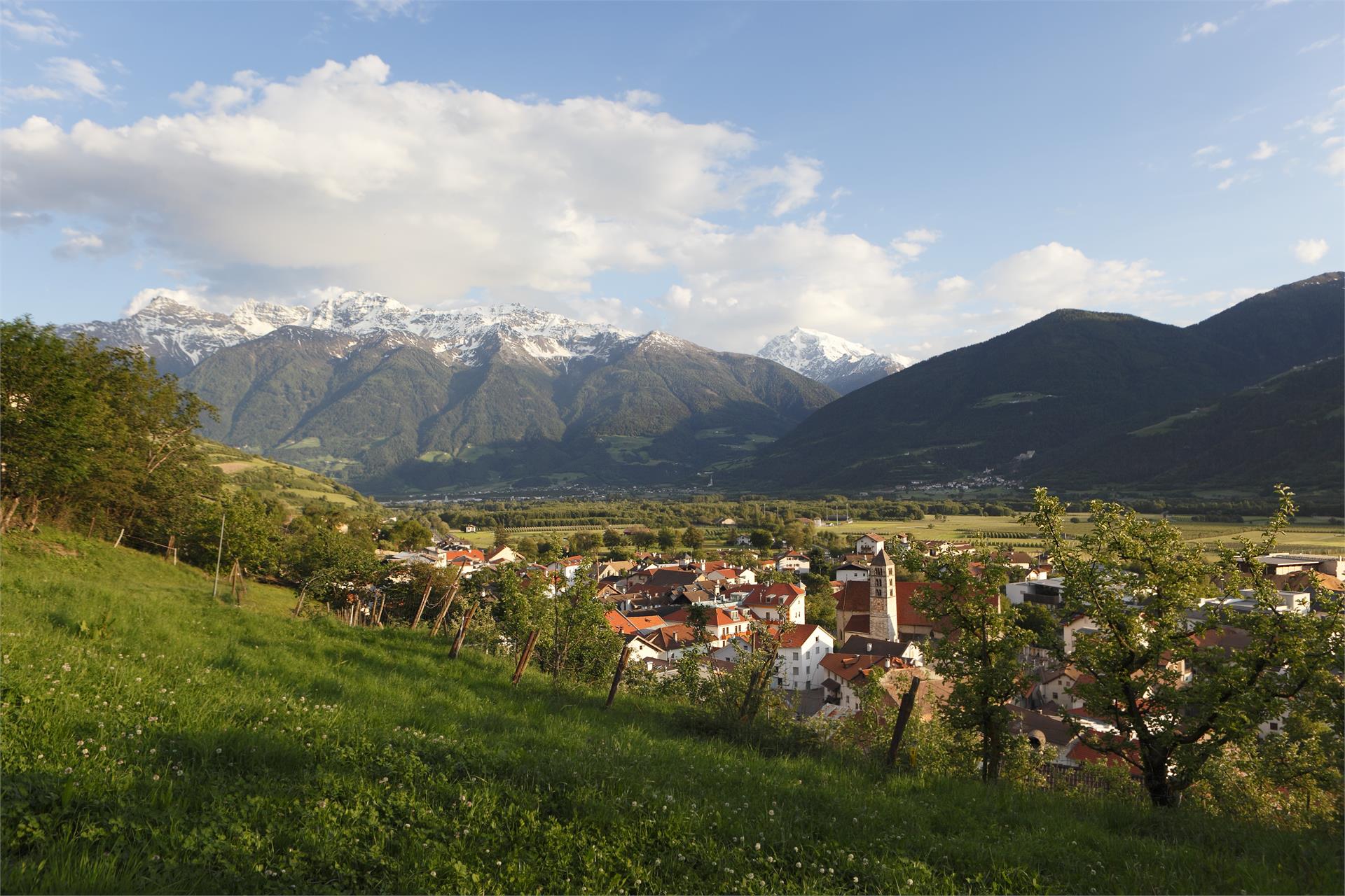
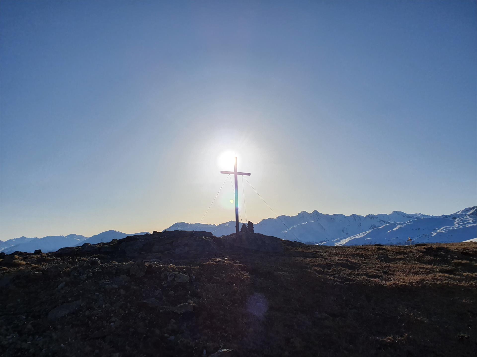
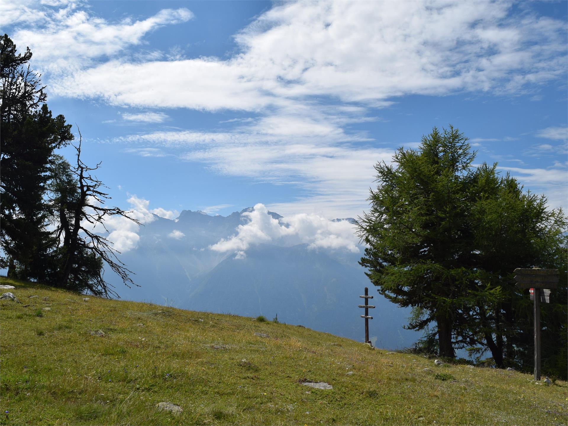
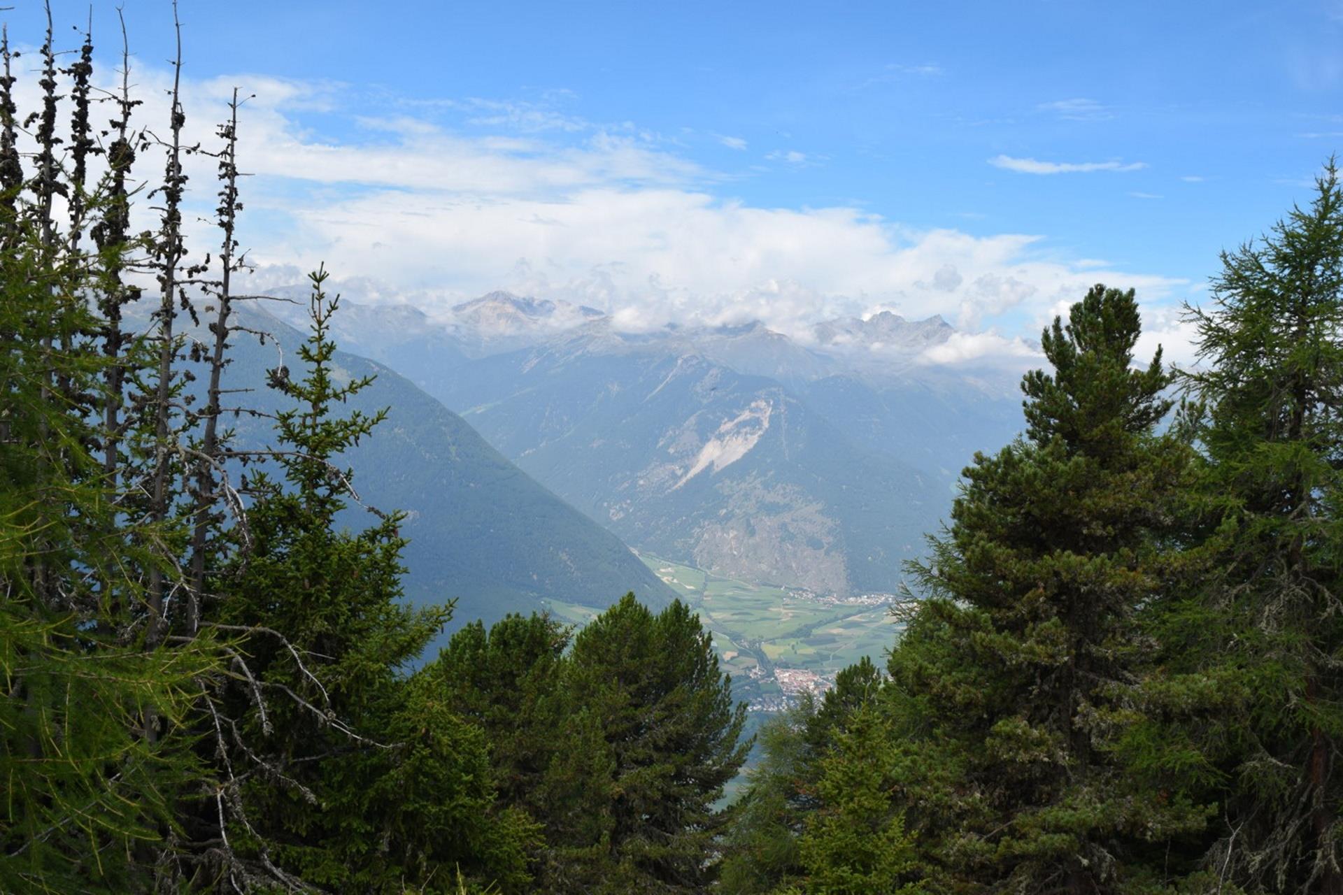
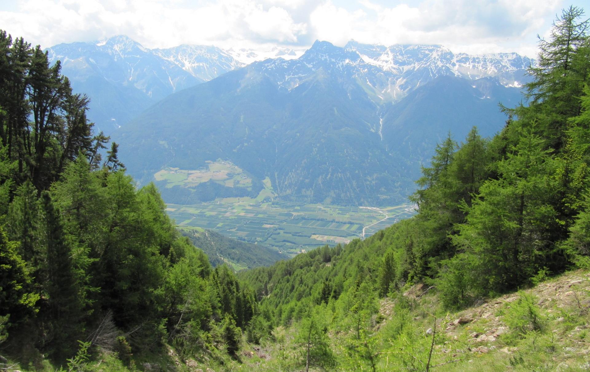
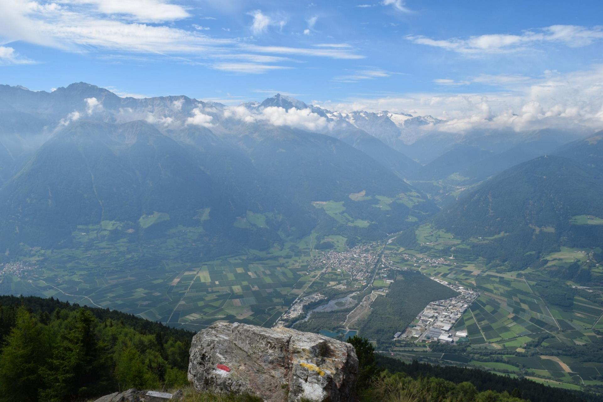
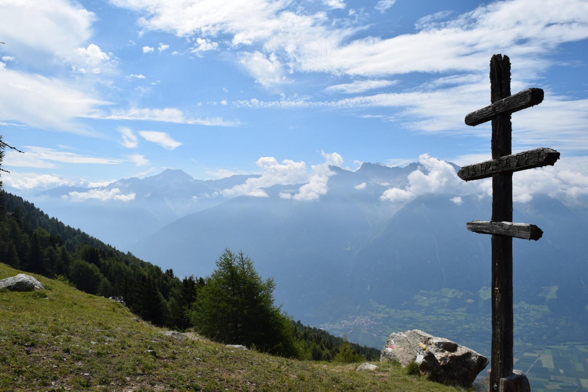
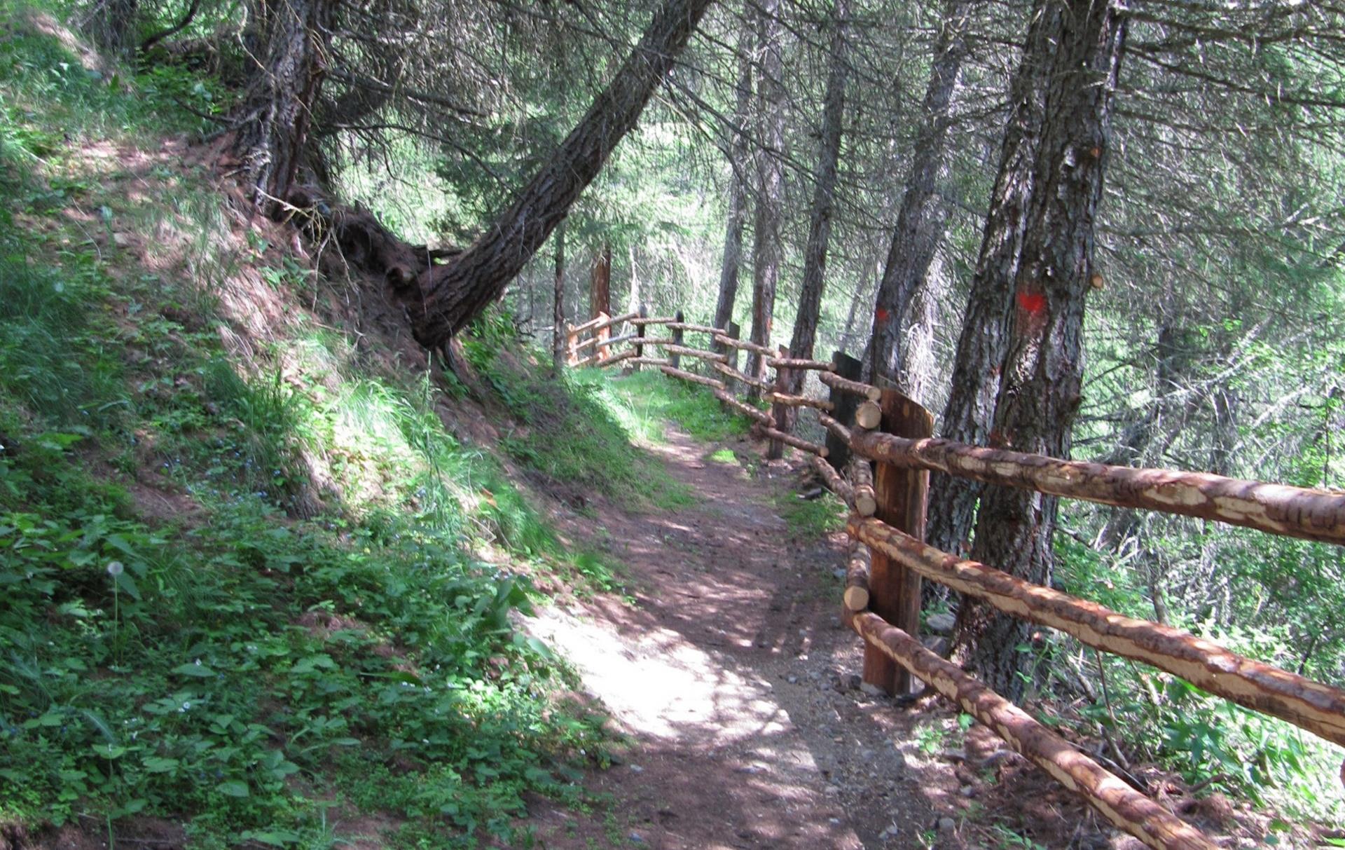
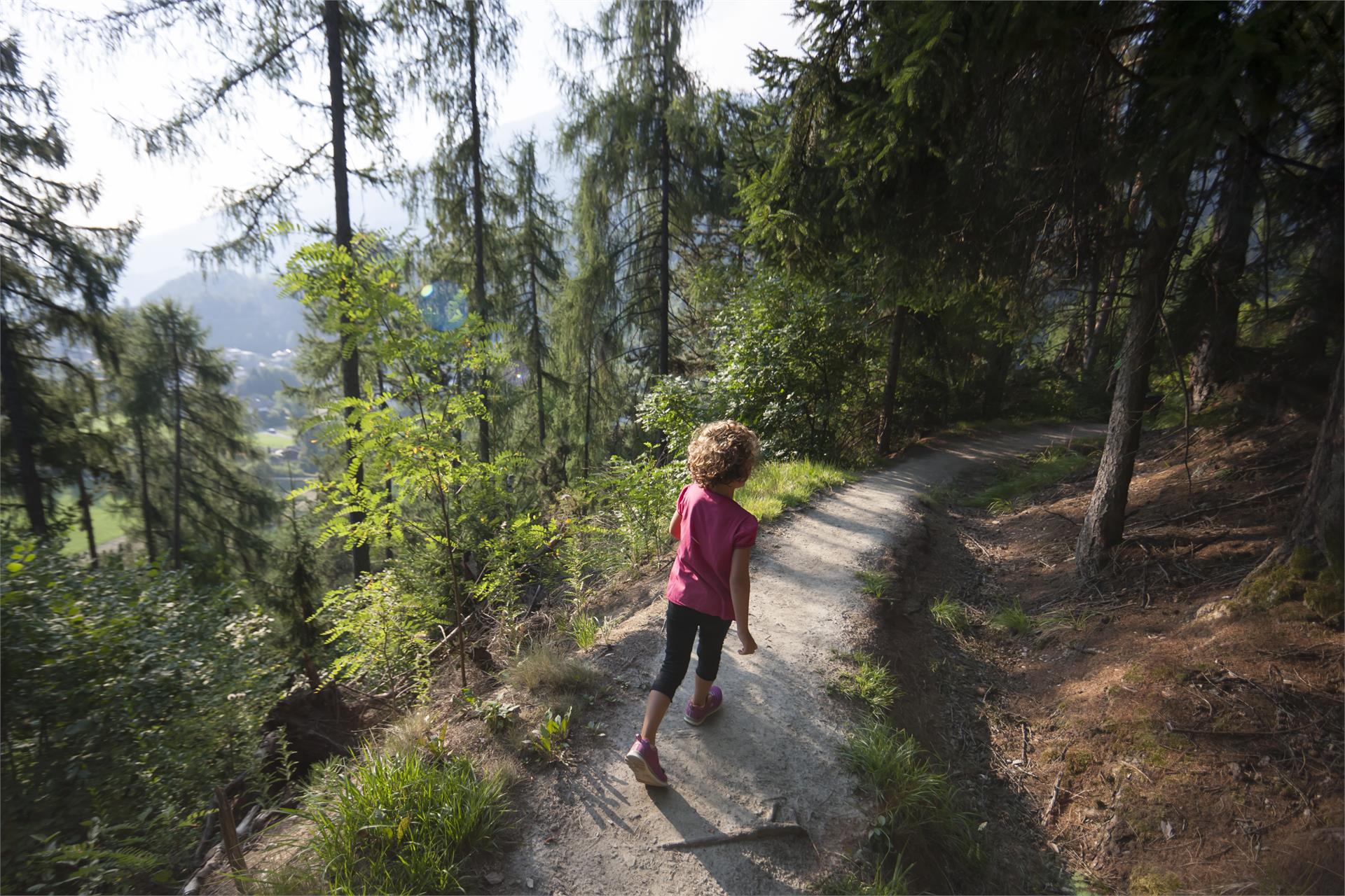
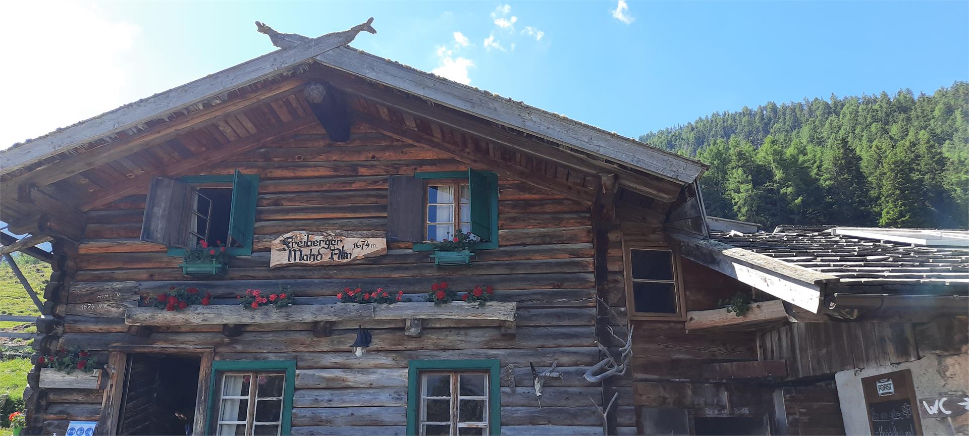
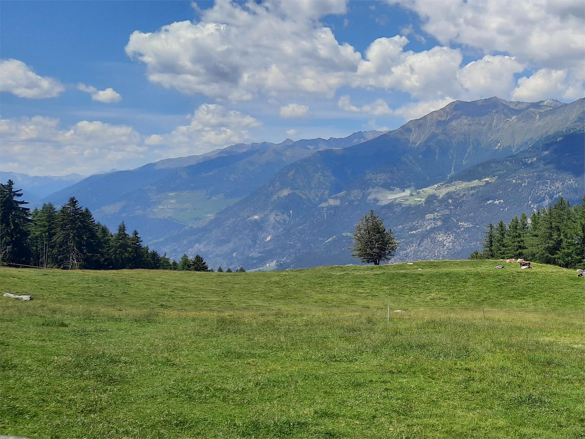
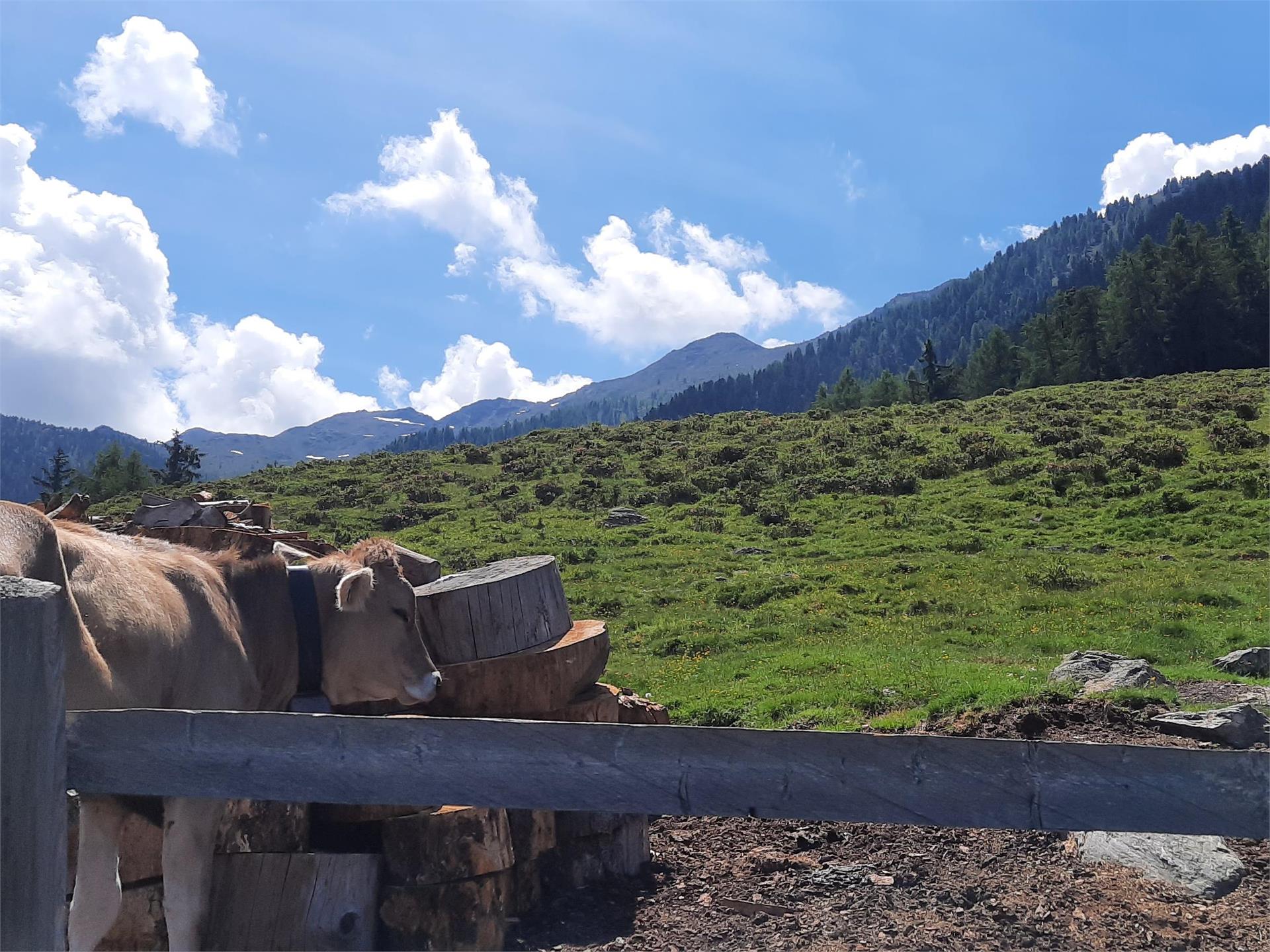
The day starts with a descent from Malga Zirmtal (2114 m). Follow the sign for Marzoner Alm/Malga Marzon. The steep path has been partially rebuilt and is in good condition. After a descent with an altitude difference of 300 meters you reach a forest road with signposts. Take the path down to Malga Marzon. Shortly descend on the forest road before you take the so-called Almenweg on the right (signs for Freiberger Mahd and Almenweg). The rather flat path takes you through the light forest until a signposted junction. Turn left (signs for Latschiniger Alm and Kofelraster Seen) and take the partially steep path through the larch forest to Latschiniger Alm/Malga di Lacinigo (1936 m) where the ascent to the Covolo Lakes (Kofelraster Seen) begins. Follow path no.3 with the red and white marking and many bends through the forest before you reach a clear area. Then the path soon becomes steeper. Hike through the mountain basin until the junction near the mountain crest. On the left, you can see the variant (see description below) leading up here from Malga Obermarzon. Continue upwards towards the Covolo Lakes (signs for Kofelraster Seen). As soon as you reach the first of the Covolo Lakes (2407 m), you have to be careful. There is only an old, weathered wooden sign with faded letters (Tarscher Alm/Malga di Tarres). Climb the steep path no.15 and shortly descend from the crest before the next climb. Then you reach the Gran Ladro wind gap (2612 m). Descend on the long, well-marked path to Malga di Tarres (1935 m).

Poziom trudności: trudny
3253 m wysokość w górę
9h:43 min czas trwania
Hiking
Circular hike to the Saldursee lakes
Mals/Malles, Vinschgau/Val Venosta

Demanding but worthwhile high mountain hiking tour to South Tyrol’s highest lake plateau with an awe-inspiring mountain scenery.

Poziom trudności: trudny
1251 m wysokość w górę
7h:00 min czas trwania
Hiking
To the Tartscher Bühel hill
Glurns/Glorenza, Vinschgau/Val Venosta

Gentle hike from Glurns/ Glorenza to the mystical and legendary Tartscher Bühel hill.

Poziom trudności: łatwy
134 m wysokość w górę
2h:00 min czas trwania
Hiking
Cima Venezia
Martell/Martello, Vinschgau/Val Venosta

This challenging glacier-tour in the rear Val Martello counts to the most famous ski-tours in South Tyrol. But this tour should just be gone by good snow conditions. You need belt and rope. The tour takes 4 hours.

Poziom trudności: trudny
1289 m wysokość w górę
3h:55 min czas trwania
Hiking
Winter hike to the Schaubachhütte mountain hut
Stilfs/Stelvio, Vinschgau/Val Venosta

Perched above Sulden/Solda, the Schaubachhütte mountain hut serves as the starting point for high Alpine tours around the Ortler in winter and summer alike. Beginning at the Sulden cable car valley station, this demanding winter hike follows a gently inclined forest trail on the way up to the hut at an elevation of 2,581 m.

Poziom trudności: łatwy
697 m wysokość w górę
1h:30 min czas trwania
Snowshoe Hikes
Plamort
Graun im Vinschgau/Curon Venosta, Vinschgau/Val Venosta

A hike with a fantastic panorama and historical highlights. The tour starts below the sports field in Reschen/Resia. Follow the path signposted no. 2 in the direction of Plamort. Walk along the forest road for about an hour until you reach the plateau. Here you can explore the first bunkers, a complete defence system from the Second World War. If interested, follow the signs at the Oculus information board to the anti-tank barriers on the left hand side of the forest road. Alongside the anti-tank barriers to the east the path branches off to the south. A little further on, directly after the hill, a breath-taking panorama awaits you at the viewing rock. For the descent, not far from the panorama point, a narrower and steeper path no. 1A on the left leads back to Reschen.
Note: If the descent is too steep, follow the forest road instead and continue on the same route as on the ascent.

Poziom trudności: średni
502 m wysokość w górę
3h:15 min czas trwania
Hiking
Hike to Matscheralm Alpine Pasture
Mals/Malles, Vinschgau/Val Venosta

Easy and family-friendly tour in the Matschertal valley to the Matscheralm Alpine Pasture, which is below the Pleres Spitze peak.

Poziom trudności: łatwy
237 m wysokość w górę
1h:00 min czas trwania
Hiking
To Plantapatschhütte hut
Mals/Malles, Vinschgau/Val Venosta

Hiking to the Plantapatschhütte hut in summer on the sci- & adventure mountain Watles.

Poziom trudności: średni
416 m wysokość w górę
1h:30 min czas trwania
Themed Hikes
The Eight-Churches hike
Taufers im Münstertal/Tubre, Vinschgau/Val Venosta

Eight churches from various eras, along a well-signed circular trail in Taufers i. M.

Poziom trudności: łatwy
286 m wysokość w górę
2h:01 min czas trwania
Hiking
Gran Ladro - Tour
Latsch/Laces, Vinschgau/Val Venosta

A fantastic alpine tour to the double peak between the Val d’Ultimo and the Val Venosta with a panoramic view

Poziom trudności: trudny
950 m wysokość w górę
6h:00 min czas trwania
Hiking
To the "Gurgl" gorge
Laas/Lasa, Vinschgau/Val Venosta


Excursion to the Valdaun creek to the gorge "Gurgl". The creek has here broken through the rock and a waterfall rushes down about 20-25 m. The hike in the shady Stelvio National Park is especially recommended on hot summe days.

Poziom trudności: średni
493 m wysokość w górę
3h:00 min czas trwania
Hiking
To the Melager Alm alpine pasture
Graun im Vinschgau/Curon Venosta, Vinschgau/Val Venosta
The route from Melag/Melago to the Melager Alm alpine pasture in Langtaufers valley is a beautiful family hike, which is also suitable for buggies. The hike starts from the car park in the hamlet Melag, the highest hamlet in Langtaufers valley at 1,915m, which is inhabited all year round. From the car park walk to the right between the houses. Signpost numbers 2 and 5 indicate the path, but it is impossible to miss even without the directions. In a very gentle ascent walk towards to the bridge over the Karlinbach river. Cross the bridge and continue on the flat path towards the alpine pasture. At the end of the valley, the snow-covered peaks around the Weißkugel rise up; to the north and south, a whole series of three thousand metre peaks flank the valley. The way back follows the same route as the one going there.
Note: As an alternative you can start this hike from the hamlet of Kappl at the out of service Maseben ski-lift station and follow the forest road to the Melager Alm alpine pasture.
Poziom trudności: łatwy
135 m wysokość w górę
1h:30 min czas trwania
Hiking
Monte Glorenza Mountain
Mals/Malles, Vinschgau/Val Venosta

The hike up to Monte Glurns begins at the parking lot behind the Glurns/ Glorenza parish church and reaches Mount Glurns via the Glurns Alpine pastures, at a height of 2,395 meters. Although the mountain is per se not a particularly challenging, it is well worth the trip, since the trail traverses a scenic natural setting through woodlands, meadows and pastures. Inexperienced climbers should not attempt this tour without a mountain guide.

Poziom trudności: średni
1479 m wysokość w górę
4h:30 min czas trwania
Themed Hikes
Uina Gorge to Sur-En
Vinschgau/Val Venosta

On the Smugglers paths - fascinating hike along the Schlinigtal valley high mountain trail to Uina gorge, a unique trail from 1908 - 1910 hewn in rock about 900 m long.

Poziom trudności: średni
339 m wysokość w górę
6h:30 min czas trwania
Hiking
High Alpine Trail of Planeil
Mals/Malles, Vinschgau/Val Venosta

The High Alpine Trail of Planeil runs on an ancient irrigation channel path and is split into 3 sections

Poziom trudności: trudny
932 m wysokość w górę
7h:30 min czas trwania
Hiking
Piz Lun from Planeil
Mals/Malles, Vinschgau/Val Venosta

Piz Lun mountain is one of the most beautiful viewing spots in the Upper Vinschgau Valley

Poziom trudności: średni
731 m wysokość w górę
2h:30 min czas trwania
Long-Distance Hiking Paths
360° Alta Venosta: Prämajur - San Valentino alla Muta
Mals/Malles, Vinschgau/Val Venosta

The first stage of the circular hiking trail 360° Upper Vinschgau Valley leads to the marvelous scenery of the Upper Vinschgau Valley with refreshments at Brugger Alm alpine pasture.

Poziom trudności: łatwy
380 m wysokość w górę
4h:30 min czas trwania
Hiking
To the Köpfel- und Marchplatte
Mals/Malles, Vinschgau/Val Venosta

Varied circular hike with interesting viewpoints, when the sky is clear the views stretch into the Dolomites.

Poziom trudności: średni
914 m wysokość w górę
4h:30 min czas trwania
Snowshoe Hikes
adventure trail Talai
Graun im Vinschgau/Curon Venosta, Vinschgau/Val Venosta

In the about 3 kilometers long loop road, twelve stations invite young and old to play and discover. Zipf and Zapf go along with the little natural scientists on their walk and narrate them interesting facts about the forest and its inhabitanst. At the same time the children have to crack several riddles to find the mysterious treasure at the end of the road. The trail is positioned amid of the talai forest in San Valentino. Don't forget to take paper and pencil to note the answers. Preprints also available at the Tourist Information.

Poziom trudności: łatwy
0 m wysokość w górę
2h:30 min czas trwania
Hiking
Ski tour to the Orgel/Laaserspitze
Martell/Martello, Vinschgau/Val Venosta
Seen from the Vinschgau main valley, the massive mountain peak known as Laaser Spitze offers an impressive panorama. The path runs through the snow-covered winter landscape. Due to the heavy winter, organ pipes are said to sound there, hence the Martello name "Orgelspitze". You reach the highest point at 3305m via a pathless but well-marked, blocky summit structure.
Poziom trudności: trudny
1326 m wysokość w górę
4h:25 min czas trwania
Hiking
Piz Lun from Mals
Mals/Malles, Vinschgau/Val Venosta

Piz Lun mountain is one of the most beautiful viewing spots in the Upper Vinschgau Valley.

Poziom trudności: trudny
1215 m wysokość w górę
4h:00 min czas trwania
Hiking
The Lasta of Tanas
Laas/Lasa, Vinschgau/Val Venosta

Panoramic mountain on the Venosta Monte Sole mountain with a view above the Venosta Valley and the Ortler mountain.

Poziom trudności: średni
992 m wysokość w górę
4h:52 min czas trwania
Themed Hikes
Natural Trail Nittweg
Prad am Stilfser Joch/Prato allo Stelvio, Vinschgau/Val Venosta

The path brings on the skirts of the wood with a multitude of different trees and bushes, that are alll identified with a name.

Poziom trudności: łatwy
197 m wysokość w górę
0h:52 min czas trwania
1 2 3 4 5 6 7 8 9 10 11 12