Skip to content

added to favourites

removed from favourites

Oops! Something went wrong. Try again

Your account is being created

Your account has been successfully created and you are now logged in

You’ve been logged in successfully!

Your account was created successfully, but we couldn't log you in automatically

You are logged out.

Hiking

To the Schlinigeralm Alpine Pasture

Schlinig/Slingia, Mals/Malles, Vinschgau/Val Venosta
from center

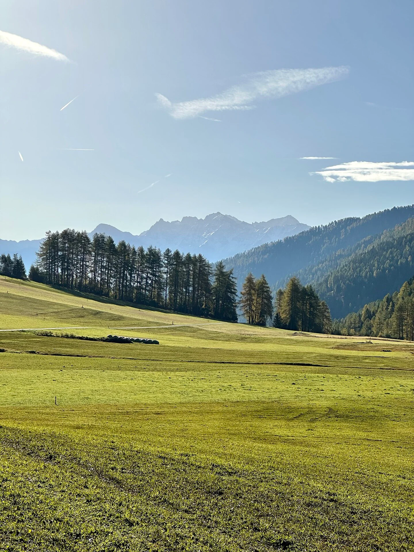
Easy family hike along fragrant alpine meadows with play stations and impressive mountain panorama

Itinerary

The easy hike starts at the car park of the cross-country skiing centre in Schlinig. Walk to the left side of the stream and follow the forest path to the Schliniger Alm. On the way there are several stops with playground facilities for children. The way back to Schlinig is via the asphalted trail no. 1, or the ascent trail.

Distance 4.8 Km
Duration 1h:22 min
Ascent 140 m
Descent 140 m
Highest point 1865 m
Lowest point 1727 m
Details
Directions
From Mals to Burgeis, through the village and then in the direction of Schlinig. You can park your car at the parking lot of the cross-country skiing center. Alternatively, you can park your car at the train station in Mals and take the city bus to Schlinig.
Accommodation image
Finish your booking for
Accommodation name
0  room rooms Not selected No board Breakfast Half board Full board All inclusive
Total price: 0 €
(incl. VAT / excl. local tourism tax)