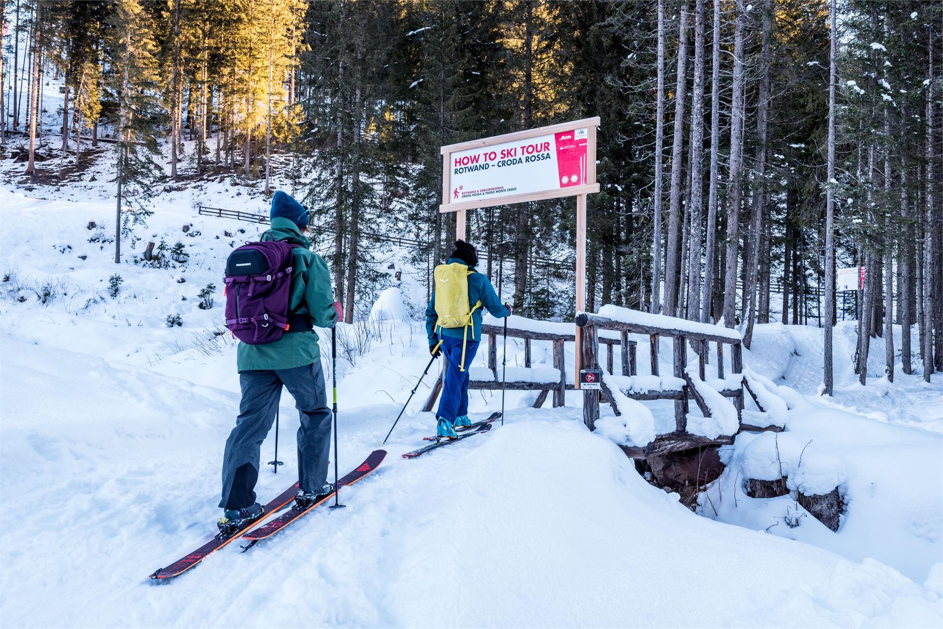
Ski Tours
Mühlbach/Rio di Pusteria, Brixen/Bressanone and environs
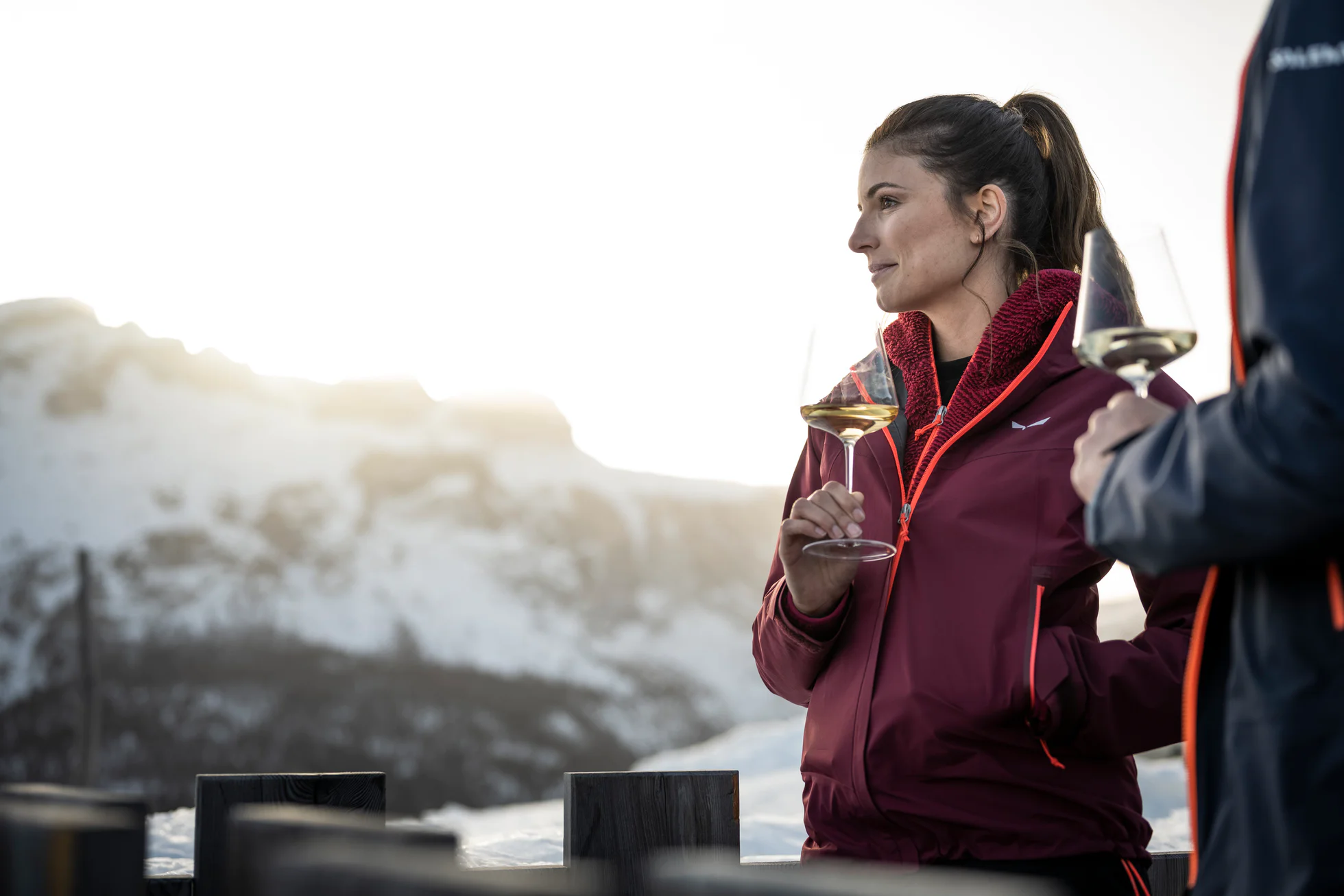
Ski tours in South Tyrol are characterised by fantastic ascents, wonderful views and challenging descents.Just being alone with yourself and nature, the snow crackling under the skins stretched over your skis. Ski tourers seek the tranquility beyond the hubbub of the ski runs and are rewarded with a colossal view that was achieved under their own power above the rocky giants in the neighborhood.