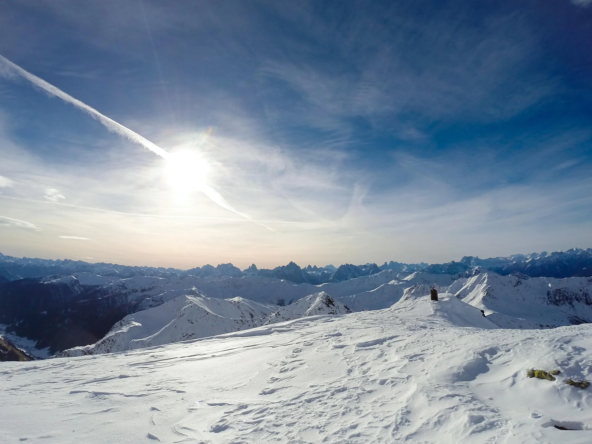
The “Rotlahner” – an easy but famous ski mountain in the Gsieser Alps
Starting point: Val di Casies Valley – S. Maddalena, Head of the valley 1465 m
Descent: back via the ascent route
Hiking time: 3 ½ hours
Level of difficulty: medium to difficult; with the exception of two steep slopes (one just beneath the Kasermähder Alm and the other in the area of the Heimwaldjoch) there are no considerable technical difficulties concerning the route
Altitude difference: 1270 m
Slope exposure: mainly southwest slopes
From the head of the valley in St. Magdalena in the Gsieser Valley 1465 m, follow the signpost number 47 over the bridge, then immediately turn left, and after a few metres turn right. The snowshoe hike, or rather the ski tour, leads you parallel to the toboggan run and along the Tscharniet Stream uphill to the Köfler Alm at 1806 m. Pass the big boulder, keep straight (do not follow the forest road) and continue through the steeply ascending stretch of forest to the Kasermähder Alm at 2048 m, passing various types of pine covered in deep snow. The gentle snowy slopes of the “Stierböden” lead to the Heimwaldjöchl at 2648 m. Once there, turn right and reach your final destination, the Rotlahner, in just 15 minutes.
Coming from Innsbruck/Brennero (A): Drive on the Highway of Brennero (A22) until the exit Bressanone/Val Pusteria, then go on along the SS49-E66 for about 58kms until you arrive in Monguelfo. To get to Tesido and the Val Casies Valley, we recommend to take the exit West in Monguelfo. Coming from Lienz (A): You can reach us also padding by Lienz in Westtyrol (A). You have to cross the Austrian-Italian border between Ahrnbach and Winnebach (B100-E66) and drive on the SS46-E66 until Monguelfo. To get to Tesido and the Val Casies, we recommend to take the exit West in Monguelfo.

To complete your subscription, open the email we just sent you and click on the confirmation link.
Can’t find it? Check your spam folder too.