
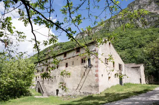
The Dürer path - Hospice San Floriano to the Lago Santo
Neumarkt/Egna center, Neumarkt/Egna, Alto Adige Wine Road
medium
Difficulty
1713 m
Elevation gain
6h:22 min
duration
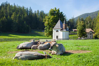
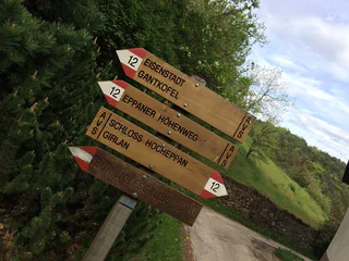
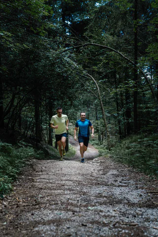
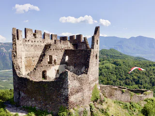
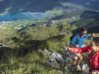
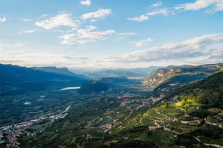
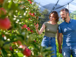
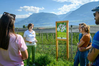
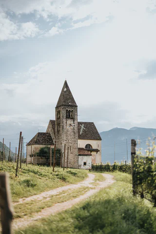
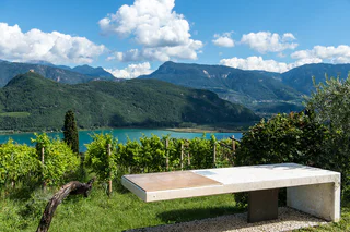
Lace your hiking boots and start exploring the landscape along the Alto Adige Wine Road. By hitting one of these trails, you'll walk on winding paths, through picturesque vineyards and from quaint villages up to sweeping views. Whether you're looking for a leisurely or challenging trail, there are all difficulty levels. On the Alto Adige Wine Road you can experience the perfect blend between nature and culture, taste local wines at modern wineries, and enjoy the flair of an Alpine-Mediterranean atmosphere.
Neumarkt/Egna center, Neumarkt/Egna, Alto Adige Wine Road
medium
Difficulty
1713 m
Elevation gain
6h:22 min
duration
1/5
Salorno/Salurn, Alto Adige Wine Road
medium
Difficulty
453 m
Elevation gain
3h:37 min
duration
1/5
S. Michele/St. Michael - Appiano/Eppan, Eppan an der Weinstaße/Appiano sulla Strada del Vino, Alto Adige Wine Road
medium
Difficulty
400 m
Elevation gain
6h:00 min
duration
Magrè s.S.d.V./Margreid a.d.W., Kurtatsch an der Weinstraße/Cortaccia sulla Strada del Vino, Alto Adige Wine Road
medium
Difficulty
0 m
Elevation gain
1h:04 min
duration
Tramin an der Weinstraße/Termeno sulla Strada del Vino, Alto Adige Wine Road
easy
Difficulty
434 m
Elevation gain
2h:43 min
duration
1/3
Mazzon/Mazon, Neumarkt/Egna, Alto Adige Wine Road
difficult
Difficulty
1408 m
Elevation gain
7h:00 min
duration
Vilpiano/Vilpian, Terlan/Terlano, Alto Adige Wine Road
medium
Difficulty
580 m
Elevation gain
4h:50 min
duration
1/4
Caldaro Campi al lago/Kalterer Klughammer, Kaltern an der Weinstraße/Caldaro sulla Strada del Vino, Alto Adige Wine Road
medium
Difficulty
434 m
Elevation gain
2h:28 min
duration
1/12
Castelvecchio/Altenburg, Kaltern an der Weinstraße/Caldaro sulla Strada del Vino, Alto Adige Wine Road
medium
Difficulty
837 m
Elevation gain
3h:00 min
duration

1/2
Salorno/Salurn, Alto Adige Wine Road
easy
Difficulty
115 m
Elevation gain
0h:30 min
duration
Cortina s.s.d.V./Kurtinig, Salorno/Salurn, Alto Adige Wine Road
medium
Difficulty
382 m
Elevation gain
2h:43 min
duration
1/4
Mazon/Mazzon, Neumarkt/Egna, Alto Adige Wine Road
medium
Difficulty
763 m
Elevation gain
3h:42 min
duration
S. Michele/St. Michael - Appiano/Eppan, Eppan an der Weinstaße/Appiano sulla Strada del Vino, Alto Adige Wine Road
medium
Difficulty
312 m
Elevation gain
3h:53 min
duration
1/7
Laghetti/Laag, Neumarkt/Egna, Alto Adige Wine Road
medium
Difficulty
661 m
Elevation gain
4h:40 min
duration
Sella/Söll, Tramin an der Weinstraße/Termeno sulla Strada del Vino, Alto Adige Wine Road
easy
Difficulty
430 m
Elevation gain
4h:25 min
duration
Mendelpass/Passo Mendola, Kaltern an der Weinstraße/Caldaro sulla Strada del Vino, Alto Adige Wine Road
medium
Difficulty
702 m
Elevation gain
2h:55 min
duration
Laghetti/Laag, Montan/Montagna, Alto Adige Wine Road
medium
Difficulty
376 m
Elevation gain
3h:28 min
duration
1/6
Rungg/Ronchi - Tramin/Termeno, Kurtatsch an der Weinstraße/Cortaccia sulla Strada del Vino, Alto Adige Wine Road
easy
Difficulty
21 m
Elevation gain
1h:00 min
duration
1/5
Tramin an der Weinstraße/Termeno sulla Strada del Vino, Alto Adige Wine Road
easy
Difficulty
105 m
Elevation gain
1h:07 min
duration
1/6
Mazzon/Mazon, Neumarkt/Egna, Alto Adige Wine Road
easy
Difficulty
228 m
Elevation gain
1h:33 min
duration

1/4
Ora/Auer, Auer/Ora, Alto Adige Wine Road
medium
Difficulty
607 m
Elevation gain
4h:49 min
duration

1/6
S. Giuseppe al Lago/St. Josef am See, Kaltern an der Weinstraße/Caldaro sulla Strada del Vino, Alto Adige Wine Road
easy
Difficulty
0 m
Elevation gain
2h:00 min
duration
1/5
Terlano/Terlan, Terlan/Terlano, Alto Adige Wine Road
easy
Difficulty
144 m
Elevation gain
1h:51 min
duration
Magrè s.S.d.V./Margreid a.d.W., Margreid an der Weinstraße/Magrè sulla Strada del Vino, Alto Adige Wine Road
medium
Difficulty
0 m
Elevation gain
1h:30 min
duration
1/3
Caldaro Paese/Kaltern Dorf, Kaltern an der Weinstraße/Caldaro sulla Strada del Vino, Alto Adige Wine Road
medium
Difficulty
0 m
Elevation gain
4h:30 min
duration
Magrè s.S.d.V./Margreid a.d.W., Kurtatsch an der Weinstraße/Cortaccia sulla Strada del Vino, Alto Adige Wine Road
medium
Difficulty
1058 m
Elevation gain
3h:38 min
duration
Pochi/Buchholz, Salorno/Salurn, Alto Adige Wine Road
medium
Difficulty
933 m
Elevation gain
3h:04 min
duration
Sella/Söll, Tramin an der Weinstraße/Termeno sulla Strada del Vino, Alto Adige Wine Road
medium
Difficulty
0 m
Elevation gain
4h:00 min
duration
Kurtatsch/Cortaccia s.S.d.V., Kurtatsch an der Weinstraße/Cortaccia sulla Strada del Vino, Alto Adige Wine Road
easy
Difficulty
101 m
Elevation gain
0h:46 min
duration
1/13
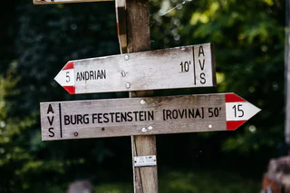
Avenes/Afens, Andrian/Andriano, Alto Adige Wine Road
medium
Difficulty
726 m
Elevation gain
3h:22 min
duration
Thank you for signing up!
Your subscription is already active
Confirm your registration
To complete your subscription, open the email we just sent you and click on the confirmation link.
Can’t find it? Check your spam folder too.
We noticed that you tried to subscribe to the newsletter, but your email address is already registered. You will continue to receive our offers, tips and inspiration for your holiday.
We noticed that you already tried to subscribe to our Newsletter in the past but didn’t confirmed the subscription. We have resent you an email now, please check your inbox and spam folder to confirm.


