Südtirol Guide App
South Tyrol´s digital travel guide
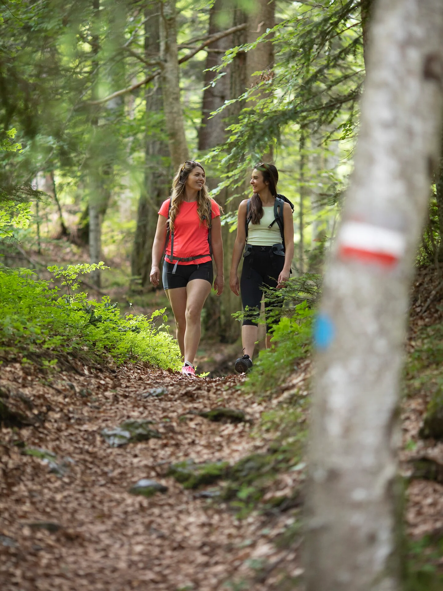
The Kalterer Höhenweg runs almost constantly at about one third of the height of the Mendel slope and with only a few ascents from the Kalterer Höhe (northernmost point) to the Ziegelstadl above Altenburg and on to the Gummererhof above Tramin (southernmost point). Some of the access routes are difficult. Do not hike these in summer during the hot midday hours! The Kalterer Höhenwanderweg trail is connected to the Eppaner Höhenweg trail by the Matschatsch hiking trail (signpost no. 9). Shortly before the Gummererhof farm, the Traminer Höhenweg trail (marker no. 9) continues southwards.
Follow the forest path that begins at the starting point, which is also the high trail, in a southerly direction (signpost ‘Altenburg’) (marker no. 9). Cross the funicular railway and continue along the forest road to the Ziegelstadl. There, immediately after the bridge, turn left down to Altenburg (signpost no. 9F). Alternative: From the Ziegelstadl, continue along the high-level trail to the Gummererhof (marker no. 9 G). From there, take the dirt track downhill and soon follow the signpost ‘Marking 4B’. Continue along a forest path to Altenburg (walking time for this variant approx. 1 ½ hours).

Thank you for signing up!
Your subscription is already active
Confirm your registration
To complete your subscription, open the email we just sent you and click on the confirmation link.
Can’t find it? Check your spam folder too.
We noticed that you tried to subscribe to the newsletter, but your email address is already registered. You will continue to receive our offers, tips and inspiration for your holiday.
We noticed that you already tried to subscribe to our Newsletter in the past but didn’t confirmed the subscription. We have resent you an email now, please check your inbox and spam folder to confirm.