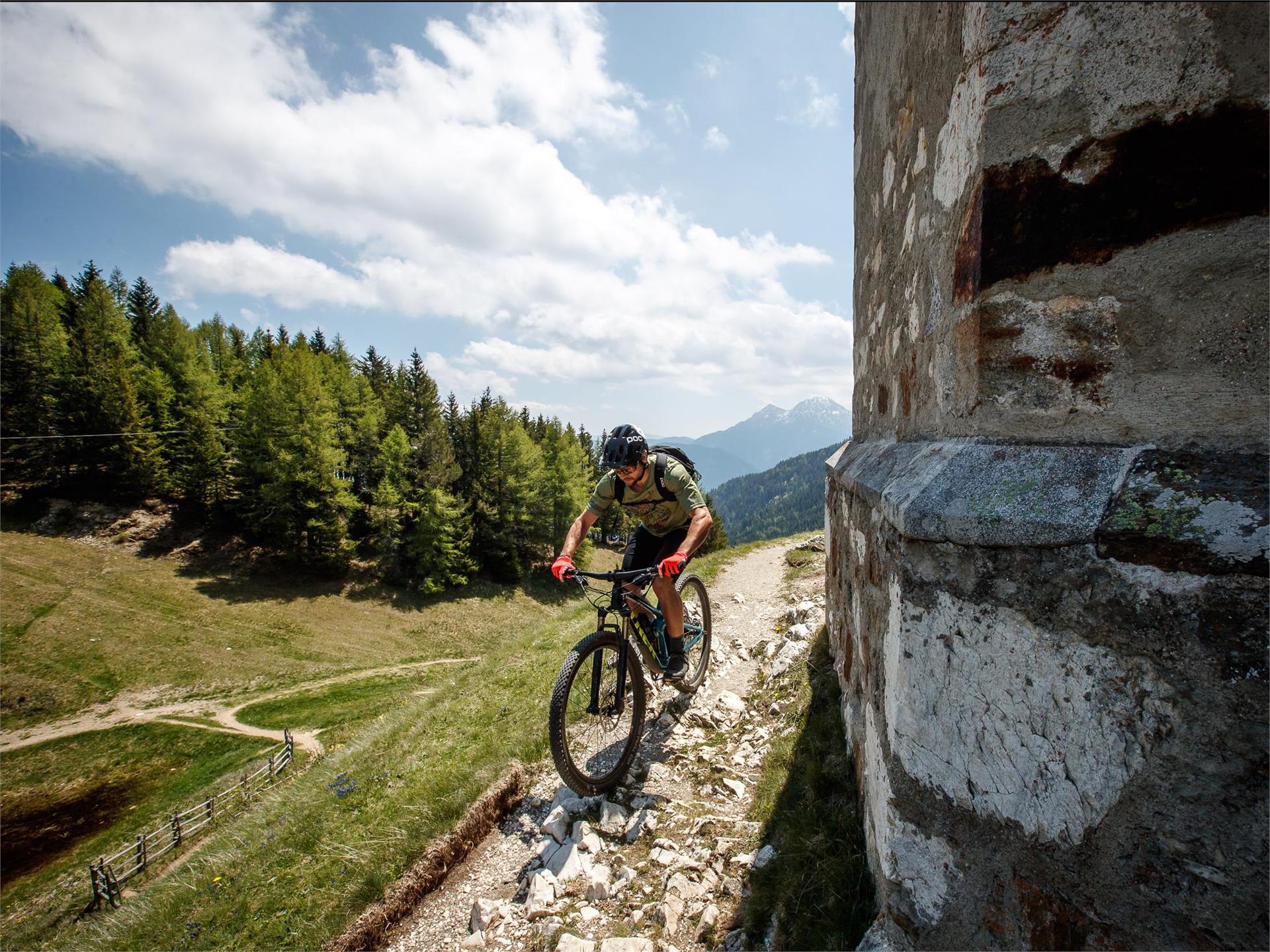
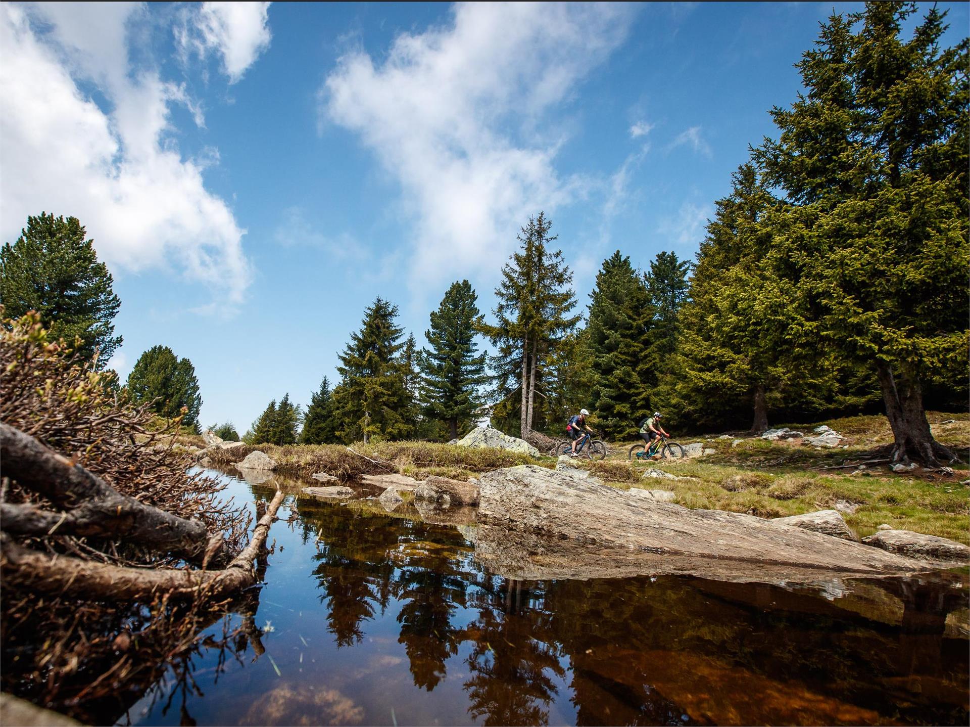
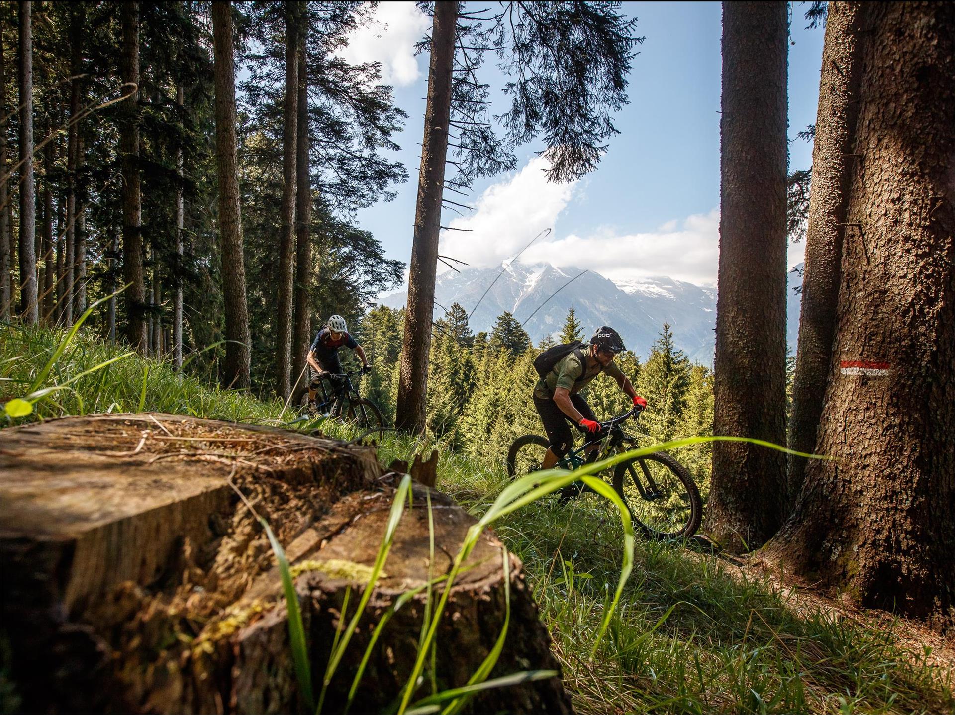
Skip to content
added to favourites
removed from favourites
Oops! Something went wrong. Try again
Your account is being created
Your account has been successfully created and you are now logged in
You are logged out.
Filter
Selected filters
    Level of difficulty
    Duration
    Distance in KM

    MTB tours and trails

    Pure adrenaline in front of an impressive mountain scenery: MTB tours in South Tyrol offer fun for every biker. On the trail, get going! Explore the valley sides in Vinschgau as a freerider, discover the Alpe di Siusi, Europe's largest high alpine pasture, on two wheels or feel the wind on a flowing descent from Kronplatz. South Tyrol's MTB tours guarantee riding fun and nature experience. 

    Results
    Mountain bike
    Höll-Tour
    Partschins/Parcines, Meran/Merano and environs

    Route length in km: 17,9
    Vertical climb: ascent 373m – descent 1.156m
    Surface: asphalt, forest path, Single-Trail-section
    Required technical skills: S0/S1 – easy

    Difficulty: easy
    311 altitude up
    17.3 Km distance
    Mountain bike
    Uphill Aschbach
    Partschins/Parcines, Meran/Merano and environs

    Starting point: Töll Etschbrücke bridge (525m)
    Destination point: Aschbach cableway mountain station (1,342m)


    Difficulty: easy
    903 altitude up
    10.3 Km distance
    Mountain bike
    398 E-bike tour Plafötsch – Haniger
    Tiers am Rosengarten/Tires al Catinaccio, Dolomites Region Seiser Alm

    Challenging hut-tour in Tiers am Rosengarten.

    This tour, which is especially recommended for e-bikers because of its 800 meters of altitude difference, leads past alpine huts which offer refreshments. The tour offers a fantastic view of the Rosengarten massif with the impressive Vajolet towers.

    Difficulty: easy
    793 altitude up
    16.7 Km distance
    Cycling
    Snake (2a)
    Sexten/Sesto, Dolomites Region 3 Zinnen
    Option of Trail n°2:

    Light line. Flat trail with large curve, small natural elements like roots and stones.

    Difficulty: easy
    2 altitude up
    23.0 m distance
    Mountain bike
    Goasbergcross Tour
    Graun im Vinschgau/Curon Venosta, Vinschgau/Val Venosta

    From St. Valentin over the dam wall of lake Resia, the tour takes us westwards through the hamlet of Innerkaschon up to the old road towards Schöneben (above the old Reschensee road). The climb is approx. 8 km and 650 m in altitude, first on asphalt and then on gravel, mainly through forest, to the Haideralm mountain restaurant with its beautiful panoramic terrace overlooking the surrounding mountains and the two lakes. The descent leads back 350 m along the ascent route before turning on the right towards Zerzer valley. Cross the ski slope to hiking trail no. 7, which leads to the Bruggeralm alpine hut, where you can enjoy some excellent dumplings and alpine cheese in the summer months. After the bridge behind the alpine hut, turn left and follow signpost no. 8, past the St. Martin chapel to the Faulen See lake and continue down the paths to the Vinschger cycle path. Turn left and cycle comfortably along the Haidersee lake back to St. Valentin.

    Note: The name "Goas" comes from the Vinschgau dialect and means goat. When farmers in this region increasingly practised "Goashaltung" in agriculture, this mountain was the grazing area for these animals.

    Difficulty: easy
    893 altitude up
    19.3 Km distance
    Mountain bike
    MTB tour to the Wurzer Alm Mountain Hut
    Hafling/Avelengo, Meran/Merano and environs

    Delightful mountain bike tour (number 262) through meadows and forests to the Wurzer Alm Mountain Hut.

    Difficulty: easy
    508 altitude up
    14.8 Km distance
    Mountain bike
    Bike Beats - Avëna Trail
    Corvara, Dolomites Region Alta Badia
    The Ödli and Cör trails join at 1700 m of altitude to form the last section of the trail, the Avëna blue trail. Like a vein flowing through the last stretch of the forest until it reaches the valley, the blue trail includes an endless series of very exciting and difficult bends where expert bikers can show their skills.
    This medium-difficult trail extends for a little more than 2 km and it is the section in the park with the highest altitude difference, 283 m.
    Difficulty: easy
    0 altitude up
    1.7 Km distance
    Mountain bike
    Kreuztal/Valcroce - CAI mountain hut
    Brixen/Bressanone, Brixen/Bressanone and environs
    From Kreuztal/Valcroche, this enjoyment tour leads up over gravel paths to 2,450 meters, where the Plosehütte is enthroned. The 360 degree view can be enjoyed and explored particularly well at the panoramic table at the telegraph.
    Difficulty: easy
    421 altitude up
    4.3 Km distance
    Mountain bike
    Spitzhorn Trail
    Bruneck/Brunico, Dolomites Region Kronplatz/Plan de Corones
    The Spitzhorn Trail is divided into three sections: the first part, which breaks off from the Gassl Trail, is a sequence of very smooth flowing curves, the middle section features jumps and features in an open area with great visibility to the scenic Wallride. The last section runs through the forest, alternating between natural terrain and various wooden footbridges that eventually lead back to the existing trail.
    Difficulty: easy
    0 altitude up
    1.4 Km distance
    Mountain bike
    Alpine Trail Unterpulg
    Lajen/Laion

    Unterpulg Alpine Trail


    The Unterpulghütte mountain hut is not quite 5km away at an altitude of 460m. The route runs continuously through the forest at different gradients – depending on condition, you may have to push your bike for a short stretch. It is only when reaching the hut that you can experience a unique panoramic view over to the Sciliar/Schlern mountain and across the upper Val Gardena/Grödnertal Valley. After refreshments with typical South Tyrolean delicacies in the mountain hut, one can enjoy the view and tranquillity to the full in the available loungers.

    Difficulty: easy
    463 altitude up
    5.1 Km distance
    Mountain bike
    Trodena-Connection Cycle Route Val di Fiemme
    Altrei/Anterivo, Bolzano/Bozen and environs

    We start in the centre of Trodena (1127 m) and ride until we reach Fontanefredde. Then we have to get over 100 hm until we reach San Lugano. From the Passo San Lugano we start downhill until we reach Molina and the Val di Fiemme cycle route. the track includes less frequented asphaltic roads and some forest trails.

    Possible restaurant stops: Hotel Restaurant Schönwies and Hotel Restaurant Trudnerhof at Trodena.


    Difficulty: easy
    157 altitude up
    11.5 Km distance
    Mountain bike
    Klobenstein - Riggermoos
    Ritten/Renon, Bolzano/Bozen and environs
    This mountain bike route starts at the railway station in Klobenstein and runs along wide trails to Riggermoos. There it joins MTB route 393, which leads from Oberbozen to the Rittner Horn.
    Difficulty: easy
    147 altitude up
    2.8 Km distance
    Cycling
    Squirrel (2)
    Sexten/Sesto, Dolomites Region 3 Zinnen
    Light line. Flat trail with large curve, small natural elements like roots and stones.
    Difficulty: easy
    0 altitude up
    123.0 m distance
    Mountain bike
    Uphill Marzoner Alm
    Kastelbell-Tschars/Castelbello-Ciardes, Vinschgau/Val Venosta

    Starting from the Etschbrüücke bridge in Kastelbell, the uphill trail to Marzoner Alm mountain pasture leads first along a very steep, paved mountain road to the hamlet of Freiberg (1,200 m). Above Freiberg, at the Pramanthof farm (6,6 km), the surface changes to a gravel road and the slope becomes less steep.The forest path winds its way to the Freiberger Säge parking lot (1.480 m) and then to the Marzoner Alm mountain pasture

    Difficulty: easy
    1260 altitude up
    10.4 Km distance
    Mountain bike
    Small Trodena Round (Old railroad track)
    Truden/Trodena, Bolzano/Bozen and environs

    Starting in the centre of Trodena we ride downhill a few kilometres. The asphalted street passes vineyards where you can enjoy the amazing view of the Valle dell'Adige. Then we'll reach the village of Gleno and Montagna. On the old railroad track, which leads into the Val di Fiemme, we pass the village of Montagna. With an easy grade, as it was necessary for an old steam locomotive, we follow the old railroad tracks over bridge constructions and pleasant gravel paths until we reach Fontanefredde. After only two kilometres you'll reach again the centre of Trodena.

    Possible restaurant stops: Hotel Restaurant Schönwies and Hotel Restaurant Trudnerhof


    Difficulty: easy
    768 altitude up
    17.7 Km distance
    Cycling
    302 - Variante Tour Resciesa
    Urtijëi/Ortisei, Dolomites Region Val Gardena

    This tour is for all those who would like to enjoy the beautiful panorama view, but do not dare to ride up the moderately difficult trail on their MTB and to cycle up over 900 m of altitude. Thanks to the lift support, only a few metres of altitude have to be mastered with your own steam. The last meters, you can expect a nice access with a pleasant incline, up to the Resciesa alp.

    Difficulty: easy
    828 altitude up
    2.9 Km distance
    Mountain bike
    Maria Saal - Bad Siess - Tann
    Ritten/Renon, Bolzano/Bozen and environs
    This mtb-route on the Ritten starts in Maria Saal and leads to Bad Siess and on to Tann. There the route joins mtb-route 393. No technical demands, mainly on roads with little traffic and forest paths.
    Difficulty: easy
    321 altitude up
    4.1 Km distance
    Mountain bike
    Tour Monte Tramontana Naturno
    Naturns/Naturno, Meran/Merano and environs

    Con la navetta bike-shuttle al parcheggio Kreuzbrünnl – uphill malga Naturno fino al crocevia per la discesa Brand trail – maso Brand – Plon – Platzgumm – Ötzi trail - Ötzi flow trail -Naturno

    Difficulty: easy
    426 altitude up
    18.4 Km distance
    Mountain bike
    Bike Beats - Jump Line
    Corvara, Dolomites Region Alta Badia

    The Jump Line, a variant of the Cör Trail, is the ideal route for experienced and demanding bikers. Riding through woods and meadows you can fill up on adrenaline while having fun on jumps of various heights and sizes. And to experience all the energy of the descent, easy drops and kickers.

    Two FotoTraps, real photographic traps, will immortalize your passage.

    Difficulty: easy
    0 altitude up
    601.0 m distance
    Mountain bike
    Giern Trail
    Graun im Vinschgau/Curon Venosta, Vinschgau/Val Venosta

    Sulla parte inferiore del trail Belpiano, all'ultimo incrocio con la pista da sci, il facile Giern Trail porta in direzione di San Valentino e Giern. Il Giern Trail è il collegamento con il lago di Resia e termina al maso Giernhof. Da lì si può pedalare sulla pista ciclabile per San Valentino.

    Difficulty: easy
    50 altitude up
    900.0 m distance
    Mountain bike
    Brand Trail
    Naturns/Naturno, Meran/Merano and environs

    The access to the Brand trail is at the parking lot “Kreuzbrünnl” following the signposts “Uphill Naturnser Alm”. After about 1,5 km turning left into a forest road passing a few turns you reach the entrance to the Brand trail. The trail winds down moderately to the Brandhof surpassing only a few turns.

    Difficulty: easy
    1408 altitude up
    29.1 Km distance
    Mountain bike
    Uphill Seespitz
    Partschins/Parcines, Meran/Merano and environs

    Starting point: Töll Etschbrücke bridge (525 m)
    Destination point: Seespitz mountain inn (1,750m)

    Difficulty: easy
    1251 altitude up
    13.6 Km distance
    Mountain bike
    Uphill Leiter Alm hut
    Algund/Lagundo, Meran/Merano and environs
    Centre of Lagundo to Velloi along the main street to the restaurant  Oberplatzer and along a path to Leiter Alm
    Difficulty: easy
    1227 altitude up
    13.4 Km distance
    Mountain bike
    Dragon Trail
    Bruneck/Brunico, Dolomites Region Kronplatz/Plan de Corones
    New in summer 2022 in the Bike Park Kronplatz is the "Dragon Trail": the trail, over 2 kilometers long, winds along the hillside from the summit to the middle station of the Olang 1+2 lift. The highlight is definitely crossing the Dragon's Head and the Dragon's Tail, where you have a beautiful panorama of the surrounding Dolomites at the same time.
    Difficulty: easy
    0 altitude up
    2.0 Km distance
    Mountain bike
    Ötzi-Trail
    Naturns/Naturno, Meran/Merano and environs

    Startpunkt des Ötzi Trails ist unterhalb der Mauslochalm. Flowiger Waldboden-Trail (S2) abwechselnd mit einigen steilen, verblockten Stellen (S3) führt der Trail über den Naturnser Nörderberg bis ins Vormazontal und weiter zur Waldschenke. Es gibt die Möglichkeit auf ca. halber Strecke beim Platzgummhof in den Ötzi- Trail einzusteigen.

    Difficulty: easy
    1353 altitude up
    22.0 Km distance
    Mountain bike
    Uphill Vigiljoch Mountain
    Partschins/Parcines, Meran/Merano and environs

    Starting point: Aschbach cableway mountain station (1,342 m)
    Destination point:
    Vigiljoch mountain (1,743m)

    Difficulty: easy
    425 altitude up
    5.1 Km distance
    Mountain bike
    MTB Pederü-Tour
    Al Plan/San Vigilio, Dolomites Region Kronplatz/Plan de Corones

    Excursion on level and slightly rising paths into the breathtaking Val di Marebbe, framed by the silhouette of rugged, steep mountains. The destination is the unique head of the valley where the Pederü inn offers refreshments.


    Difficulty: easy
    348 altitude up
    11.5 Km distance
    Mountain bike
    Kreuztal/Valcroce - rifugio Pfannspitz Hütte
    Brixen/Bressanone, Brixen/Bressanone and environs
    The pleasant bike tour to the Pfannspitzhütte is perfect for both mountain bike and e-mountain bike. The tour leads over gravel roads first along trail no. 14. until you turn left after about 1.5 kilometers. Now it continues uphill, turns right at a fork in the road and follows the path straight ahead, which leads directly to the Pfannspitzhütte.
    Difficulty: easy
    412 altitude up
    4.0 Km distance
    Mountain bike
    Sellaronda MTB tour - anti-clockwise
    Corvara, Dolomites Region Alta Badia

    Spectacular Dolomite peaks and legendary mountain passes: The Sellaronda is one of the most beautiful and popular circular routes in the Alps and offers all kinds of exciting options in winter or in summer. One of these is the Sellaronda mountain biking tour. The tour requires a good level of physical fitness and mountain biking experience, because there are some tricky climbs and a few difficult descents to manage. However, for the last few years there has been the option of avoiding some of the particularly steep climbs by using lifts, making it possible to complete the tour in a day.

    Following the Sella Ronda MTB Tour Anti-Clockwise there is a total height difference of about 1.020 m to be cycled uphill and several descents through single trails or forest roads. Therefore it is more suited to those who enjoy cycling uphill on your MTB or e-bike. The time needed to complete the tour varies according the ability of the biker: from a minimum 6 to a maximum of 9 hours, with a lunch break included.

    www.sellaronda-mtb.com

    Difficulty: easy
    3497 altitude up
    58.6 Km distance
    1 2 3 4 5 6 7 8 9 10 11 12 13