Skip to content
added to favourites
removed from favourites
Oops! Something went wrong. Try again
Your account is being created
Your account has been successfully created and you are now logged in
You are logged out.
Filter
Selected filters
    Level of difficulty
    Duration
    Distance in KM

    Hiking with stroller in South Tyrol

    Hiking with a stroller in South Tyrol: Stunning alpine trails, breathtaking views, and a smooth ride for your little one amidst nature's beauty.

    Results
    Hiking
    Summer Promenade
    Meran/Merano, Meran/Merano and environs

    A twin to the Winter Promenade located on the opposite side of the river, the Summer Promenade has wonderfully lush vegetation: cedars of Lebanon, giant redwoods, poplars and various species of pines provide shade and a cool respite from hot summer days. At the beginning of the promenade, you’ll find Sissi Park; an elegant sculpture of Empress Elisabeth of Austria, done in Lasa marble, presides regally over the park.

    Difficulty: easy
    13 altitude up
    0h:10 min duration
    Hiking
    The big Castle circuit at Monguelfo
    Welsberg-Taisten/Monguelfo-Tesido

    On ancient paths

    Starting point: Monguelfo / tourist information office (1087m)
    Distance: 6 km
    Descent: circular hike
    Walking time: 01:45 h
    Difficulty: easy
    Difference in altitude: 130 m
    Information: Castel Welsperg is open for visiting during the summer time |www.suedtirolmobil.info - Lin. 441

    Difficulty: easy
    130 altitude up
    1h:42 min duration
    Hiking
    Hike to the Auerberg alp
    St.Pankraz/San Pancrazio, Meran/Merano and environs
    The trail leads from St. Nikolaus through the forest into the Auerbergtal valley and can be followed on the hiking trail as well as on the forest path. The mountain hut offers traditional alpine dishes in a rustic setting.
    Difficulty: easy
    433 altitude up
    1h:25 min duration
    Hiking
    Around Trodena/Trodena
    Truden/Trodena, Bolzano/Bozen and environs
    Due to its isolated position, Trodena still retained many testimonies of what men have conceived, built and transformed here over the centuries. On the circular route of Trodena we will learn about the centuries-old urban culture. From the town square we move towards the upper part of the town, pass in front of a 700-year-old lime tree and walk along the paved road up to the entrance to the town. From there we follow trail marker 3 to a parking lot. From the panoramic road (3A) we come to a viewing platform, a sort of balcony. from which we can admire the "3 horns": Corno Nero,
    Corno Bianco and Monte Corno. This is where the geological "line" of Trodena develops. The view over the roofs of Trodena testifies to the division of the farms that has taken place for generations. We then walk until we reach the Via Cislon. From here we follow trail no. 1 to return to the starting point of Trodena, which we will reach through the historic center.

    Tip: take a walk in the village to discover the "The walls tell" project ... The brochure is available at the tourist office. Also discover the Monte Corno Visitor Center
    Difficulty: easy
    76 altitude up
    0h:31 min duration
    Hiking
    Winter hike circular route: Bad Salomonsbrunn
    Rasen-Antholz/Rasun Anterselva, Dolomites Region Kronplatz/Plan de Corones

    From Antholz Niedertal > crossing the river to the Walderhöfe > slightly downwards to Bad Salomonsbrunn > return on path n. 1 to the starting point.

    Difficulty: easy
    30 altitude up
    1h:00 min duration
    Hiking
    The Ascht Alm hut in Val Casies Valley (1950m)
    Gsies/Valle di Casies

    The Aschtalm (1950m)
    Hiking fun at “Hubi’s”

    Starting point: Val Casies Valley / S.Maddalena parish church (1398m)
    Length of the tour: 3,5 km
    Descent: via the ascent route
    Duration: 01:45 h
    Difficulty: medium
    Difference in altitude: 550 m

    Difficulty: easy
    499 altitude up
    1h:48 min duration
    Hiking
    Hike to the "Gampenalm" alp
    Ulten/Ultimo, Meran/Merano and environs
    The hike leads from the car park at Hofmahdjoch (1,785 m) on the hiking trail no. 8 and then on the hiking trail no. 24 to the Gampen Alm. This is also easily accessible on a forest road.
    Difficulty: easy
    265 altitude up
    1h:26 min duration
    Hiking
    Short round at Lake Carezza
    Welschnofen/Nova Levante, Dolomites Region Eggental
    The lake of a thousand colours, Lake Carezza in Val d'Ega is the famous fairytale lake of the Dolomites, where, according to legend, a water nymph lives and in whose crystal clear waters the Catinaccio and Latemar are reflected. Lake Carezza changes colour, which is why it is also known as Lec de Ergobando - Rainbow lake.
    Lake Carezza is 300 m long and 140 m wide and lies below the Latemar massif, on the edge of the Latemar forest, at 1,520 m in the Val d'Ega.  It is a protected natural monument and is fed by underground Latemar springs, which is why both its size and depth depend strongly on the season and weather conditions - the deepest depth of Lake Carezza is recorded at 22 m.
    Difficulty: easy
    21 altitude up
    0h:19 min duration
    Hiking
    Gilf Promenade
    Meran/Merano, Meran/Merano and environs

    This trail runs along both banks from the Gilf Gorge down to the point where the river enters the city. On the right bank, it connects directly with the path that leads to the Powder Tower and the Tappeiner Promenade; on the left, it joins with the Summer Promenade. Gilf Promenade is particularly intriguing for its subtropical vegetation. Its Walk of Poets also makes it the most romantic of Merano’s promenades: modern and contemporary love poetry is engraved onto a series of benches here.

    Difficulty: easy
    17 altitude up
    0h:10 min duration
    Hiking
    Winter hiking tour to the Moos Alm (1477m)
    Gsies/Valle di Casies

    The Moos Alm (1477m)
    For sun lovers

    Starting point: Val Casies Valley/S.Maddalena head of the valley (1460m)
    Length of the tour: 0,5 km
    Descent: via the ascent route
    Duration: 00:10 h
    Difficulty: easy
    Difference in altitude: 17 m

    Difficulty: easy
    11 altitude up
    0h:12 min duration
    Hiking
    Gaulpromenade
    Lana, Meran/Merano and environs

    The first leisure promenade in Lana was developed into an extended trail in 1888/89 by the then Teiss landlord, Alois Stauder. From the center of the village of Lana in just a few minutes you will find yourself suddenly surrounded by the "wild" nature of the enchanting Gaulschlucht gorge; splashing water, peace & quiet, steep rock faces and rope bridges.


    Difficulty: easy
    28 altitude up
    0h:45 min duration
    Hiking
    The Apple walk - Apple educational trail with quiz
    Partschins/Parcines, Meran/Merano and environs

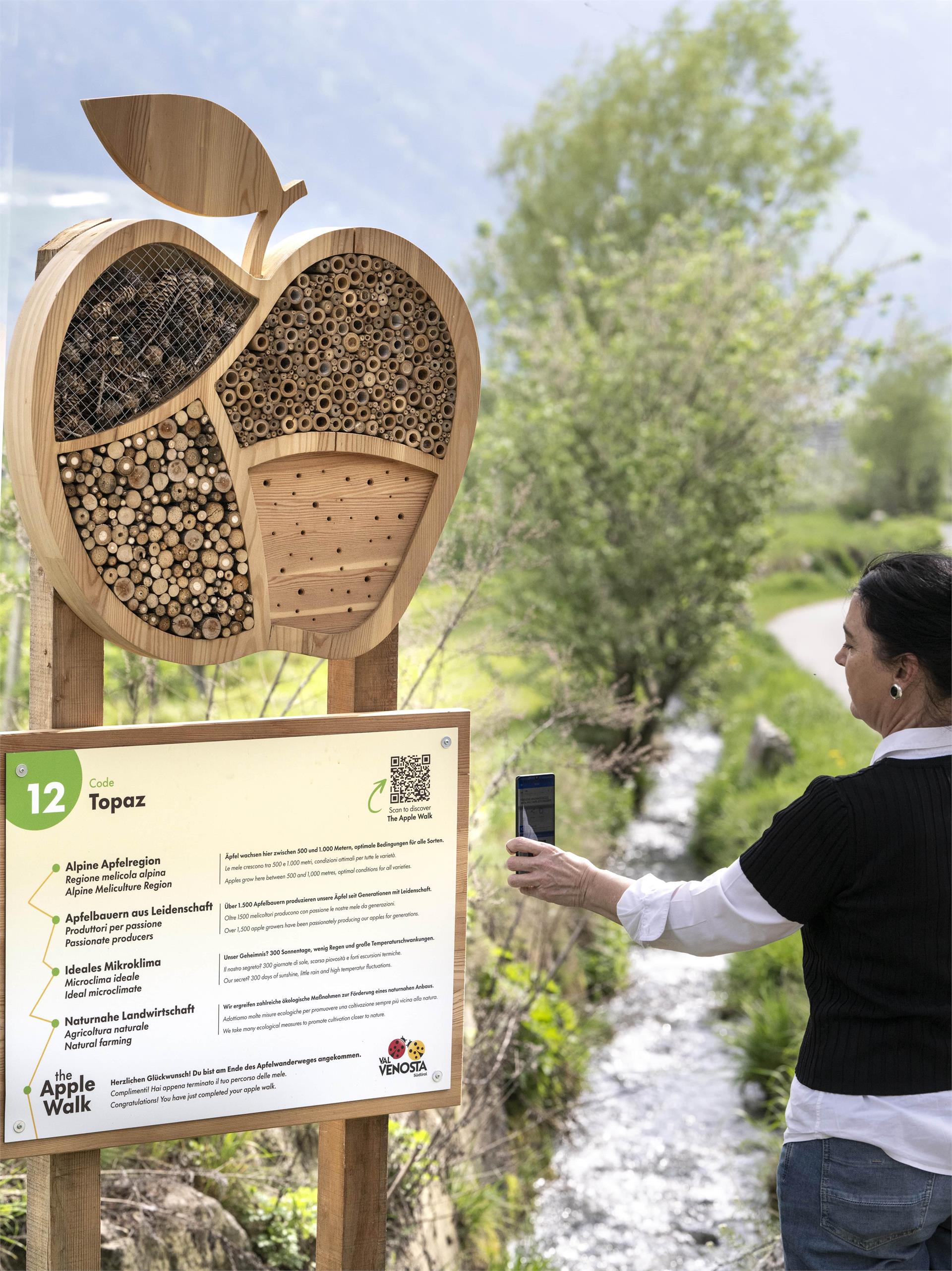
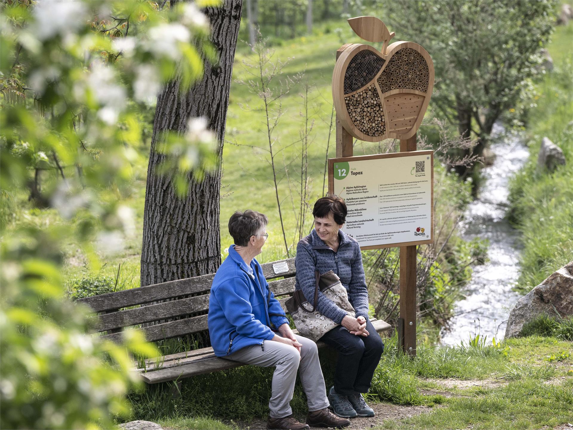
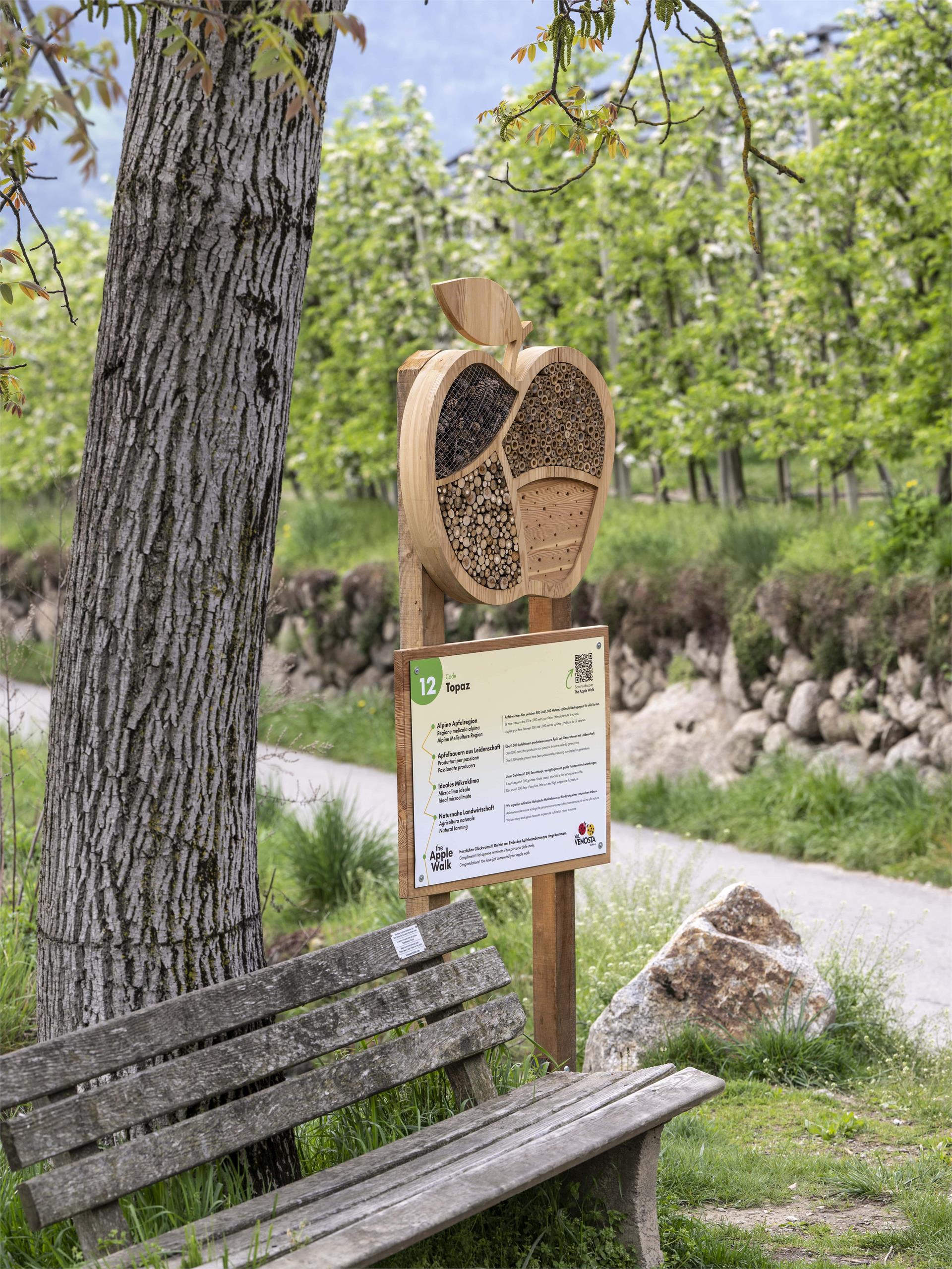
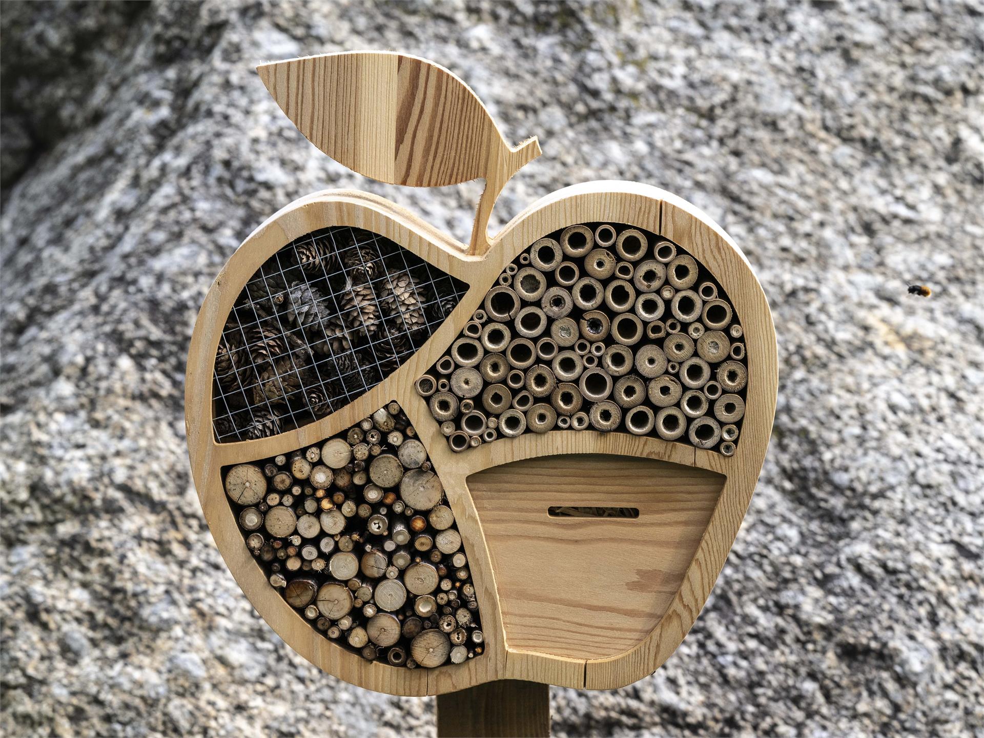
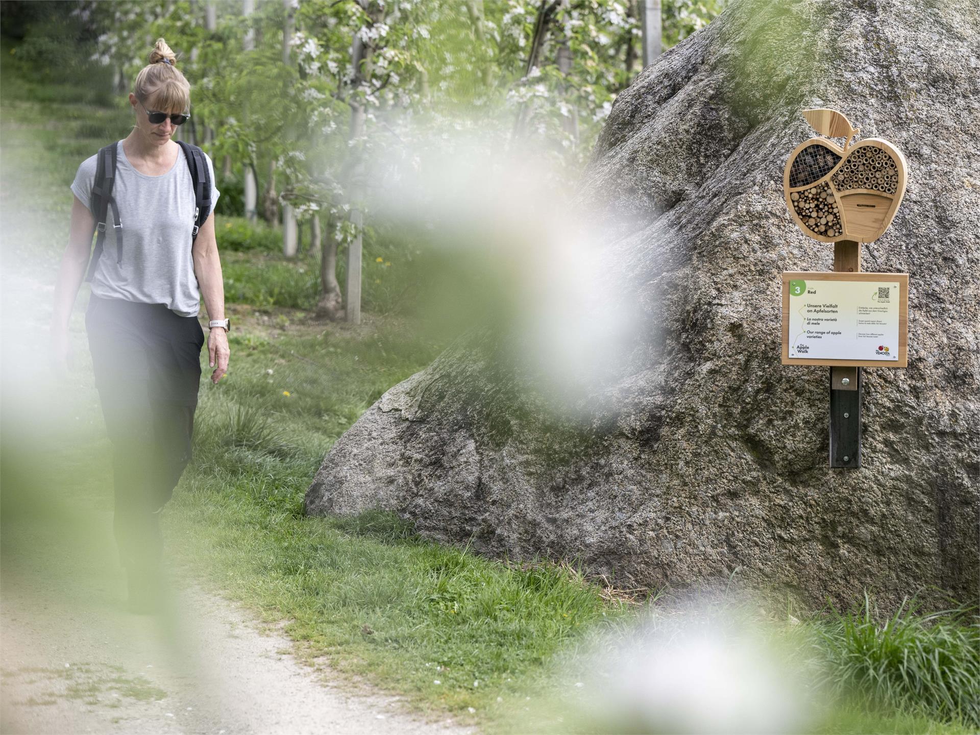
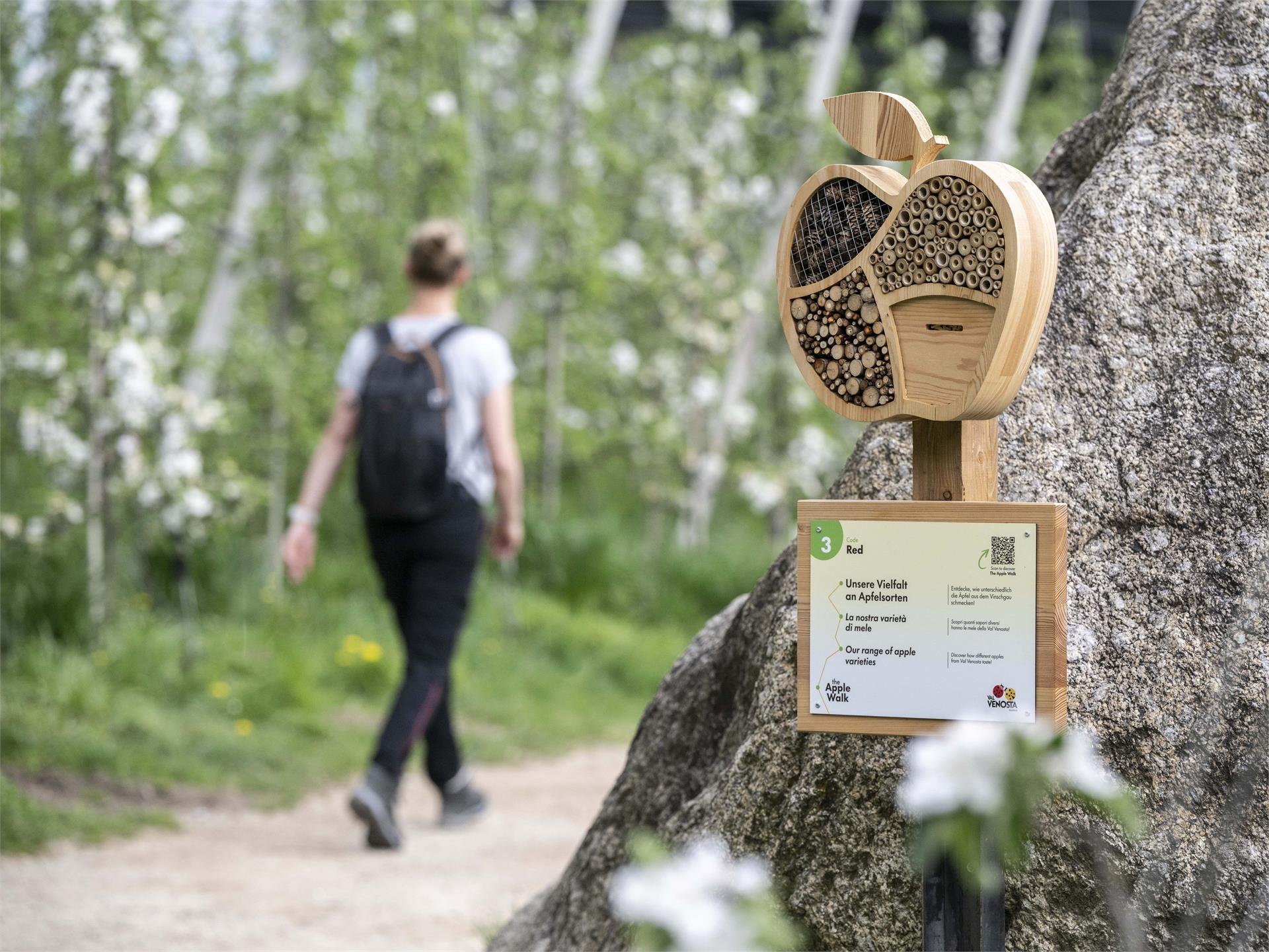
    At 12 stations, we will share fascinating details about apple cultivation with you. Simply scan the QR code at each station to gain immediate access to explanatory videos and information. Then, at each station, you'll encounter questions with 4 answer options. If you have answered all the questions correctly and entered your data in the app, you can pick up a gift at the Partschins tourist office. Have fun!

    Difficulty: easy
    118 altitude up
    0h:58 min duration
    Hiking
    Winter Promenade
    Meran/Merano, Meran/Merano and environs

    Very sunny and well sheltered from the wind, the Winter Promenade runs along the river; it is the natural continuation of the Passer Promenade. Its most distinctive landmark is the Wandelhalle covered passageway, which provides shelter from inclement weather. The Wandelhalle also houses a gallery of paintings depicting landscapes of South Tyrol and busts of significant figures in the city’s history.

    Difficulty: easy
    24 altitude up
    0h:10 min duration
    Hiking
    The Passer Promenade
    Meran/Merano, Meran/Merano and environs

    Named after the torrent that flows through the city, this promenade winds along the right bank of the Passer River, in the centre of Merano/Meran. There are two stretches, one between the Ponte della Posta and Ponte Teatro, the other that hence takes to the Ponte di Ferro.

    In the first part there are many artistic flower-beds, palms, ice-cream shops and cafes. Here you can admire the liberty architecture of the Kurhaus, whereas on the lower part of the promenade, surrounded by various historical buildings, you’ll find the artworks of the Human Figures project.

    The promenade is easily walkable with pushchairs, too.

    Difficulty: easy
    0 altitude up
    0h:16 min duration
    Hiking
    Weißbrunner Almhütte
    Ulten/Ultimo, Meran/Merano and environs
    The Weißbrunner hut is located directly at the Lake Weissbrunn. The Lake can be reached by car via St. Gertraud. Traditional Alpine dishes await you at the hut.
    Difficulty: easy
    0 altitude up
    0h:01 min duration
    Hiking
    The Kradorfer Alm hut in the Val Casies Valley (1704m)
    Gsies/Valle di Casies

    Hiking fun for all ages

    Starting point: Val Casies / S. Maddalena valley floor (1460m)
    Distance: 3.5 km
    Descent: along the same route or squirrel path
    Walking time: 01:10 h
    Difficulty: easy
    Difference in altitude: 244 m
    Information: www.suedtirolmobil.info - Lin. 441

    Difficulty: easy
    240 altitude up
    1h:10 min duration
    Hiking
    Theme path: Source of the river Drava
    Innichen/San Candido, Dolomites Region 3 Zinnen

    In the larch between Toblach/Dobbiaco and Innichen/San Candido is the source of the Drau/Drava river situated. During its 750 km long journey to the Danube the Drava flows through 5 European countries to the Black Sea.

    Further information to the water treasures of Dobbiaco like the source of the Drava River: http://www.drei-zinnen.info/en/dobbiaco/dobbiaco/experiencing-dobbiaco/lago-di-dobbiaco-lago-di-landro-and-dobbiaco-water-treasures.html

    suitable for baby stroller

    Difficulty: easy
    13 altitude up
    1h:00 min duration
    Hiking
    Hike to the "Fiecht" alp
    Ulten/Ultimo, Meran/Merano and environs
    The Fiechteralm can be reached from Weißbrunn on foot on the forest road (suitable for prams) or on hiking trail 101. Traditional alpine dishes as well as butter, cheese made from cow and goat's milk, cream cheese, yoghurt, game and grilled specialties from the wood grill await you on the Alm (Sundays). There is a children's playground on the Alm.
    Difficulty: easy
    170 altitude up
    0h:37 min duration
    Hiking
    Val d'Anna - Kneipp trail
    Urtijëi/Ortisei, Dolomites Region Val Gardena

    Explore the serene beauty of Val d'Anna with a relaxing walk that culminates in a small Kneipp path, ideal for rejuvenating body and mind. The walk is suitable for all and easily accessible even with a stroller.

    Difficulty: easy
    100 altitude up
    1h:00 min duration
    Hiking
    From Paolina to Lake Carezza
    Welschnofen/Nova Levante, Dolomites Region Eggental

    The Carezza lake, considered one of the most magnificent Alpine lakes, is especially known for its deep green water and the beautiful mountain scenery in the background.

    Difficulty: easy
    93 altitude up
    1h:06 min duration
    Hiking
    Circuit for the little ones at Tesido
    Welsberg-Taisten/Monguelfo-Tesido

    Suitable for strollers at Tesido

    Starting point: Tesido / Brückenwirt (1190m)
    Distance: 1,5 km
    Descent: circular hike
    Walking time: 00:45 h
    Difficulty: easy
    Difference in altitude: 15 m
    Information: www.suedtirolmobil.info - Lin. 441

    Difficulty: easy
    15 altitude up
    0h:45 min duration
    Hiking
    Winter hike: Biotope Rasen
    Rasen-Antholz/Rasun Anterselva, Dolomites Region Kronplatz/Plan de Corones

    From Niederrasen to Oberrasen (culture house) > along the river > after approx. 1 km turn right on a country lane > further on northwards to the biotope (the moor area - an integral natural reserve with nature trail).

    This hike can also be started from Antholz Niedertal or Antholz Mittertal!

    Difficulty: easy
    42 altitude up
    2h:19 min duration
    Hiking
    The Witches' Stone in Terenten
    Terenten/Terento, Brixen/Bressanone and environs
    This hiking tour starts at the parking area in the Winnebachtal valley. You will find the Witches Stone alonge the path nr. 23 (suitable to buggies) which leads to the Astnerberg Alm hut.
    This very interesting stone is a bowl-stone. According to the narrations, on this stone the witches used to dance with the devil. Their foot imprints can still be seen. The hut offers a nice solar terrace with children's playground and a small animal enclosure. Accessible also with a buggy or for mountain bikers and riders.
    Difficulty: easy
    219 altitude up
    0h:46 min duration
    Hiking
    Hike to the "Untere Kessl Alm"
    Proveis/Proves, Meran/Merano and environs
    Products: traditional alpine dishes
    Hiking suggestion: Starting point: Hofmahd
    also with pushchairs
    Difficulty: easy
    61 altitude up
    0h:40 min duration
    Hiking
    Sissi's Path
    Meran/Merano, Meran/Merano and environs

    This scenic route, known as the Sentiero di Sissi in Italian and the Sissiweg in German, leads to the areas of town most beloved by Empress Elisabeth of Austria, better known as Sissi. The charming Habsburg sovereign stayed in Merano several times in the second half of the nineteenth century, and was enchanted by its charm. This path dedicated to her connects the Gardens of Trauttmansdorff Castle with the city centre; it passes through eleven stages along the way, each with a story to tell. From the castle that majestically dominates the botanical gardens, Sissi’s Path winds its way past Pienzenau and Rubein Castles, the Reichenbach Residence, Piazza Fontana (Brunnenplatz), Rottenstein Castle, and the Bavaria Hotel; it then continues down to the river, crosses the Roman Bridge, skirts the Wandelhalle and finally pays homage to the empress in the park dedicated to her. The park is on the edge of the Summer Promenade and there is a statue erected in Sissi’s honour. Obviously, the trail can be followed in either direction.

    Difficulty: easy
    109 altitude up
    0h:55 min duration
    Hiking
    Tappeinerweg Trail
    Meran/Merano, Meran/Merano and environs

     The Tappeinerweg Trail runs above the city from east to west. In addition to excellent sunlight, the path offers sweeping views of the town below, the Merano Valley Basin and down into the Adige Valley.

    Franz Tappeiner, a doctor and medical researcher from Val Venosta who was a passionate proponent of tourism in Merano, created the promenade and donated it to the city. The four-kilometre-long path splits off from the Gilf Promenade and follows the curve of Monte Benedetto until it reaches Quarazze. In addition to typical local vegetation, cork oak, eucalyptus, lotus, pine, various species of palms including Chinese palms, bamboo, cactus, agave, magnolias and olive trees are planted along the path.

    There are numerous access points from the town centre:
    • the steps leading up from behind the Duomo (main cathedral) along the road that leads to Dorf Tyrol
    • from Via Galilei near the chairlift to Dorf Tyrol
    • near the Silvana hill on Via Verdi - CLOSED UNTIL FURTHER NOTICE
    • from the Gilf-Promenade past the Gunppowder Tower
    • on the orographic right side of the Ponte Romano

    Various inns and restaurants along the path.
    Bus-connection: bus-line 236 Merano-Passeggiata Tappeiner-Castel Torre or city-bus 3 (bus-stop Martinsbrunn)

    Difficulty: easy
    80 altitude up
    1h:00 min duration
    Hiking
    Hike to the "Spitzner Alm"
    Ulten/Ultimo, Meran/Merano and environs
    The Spitzner Alm is located above St. Walburg on the south side at an altitude of 1856 metres. The Alm offers home-made products such as Alpine cheese, butter, traditional Alpine dishes, home-made juices, strudel, Kaiserschmarrn and much more. It is also possible to stay overnight on request.
    Difficulty: easy
    718 altitude up
    2h:16 min duration
    1 2 3 4 5 6 7 8 9