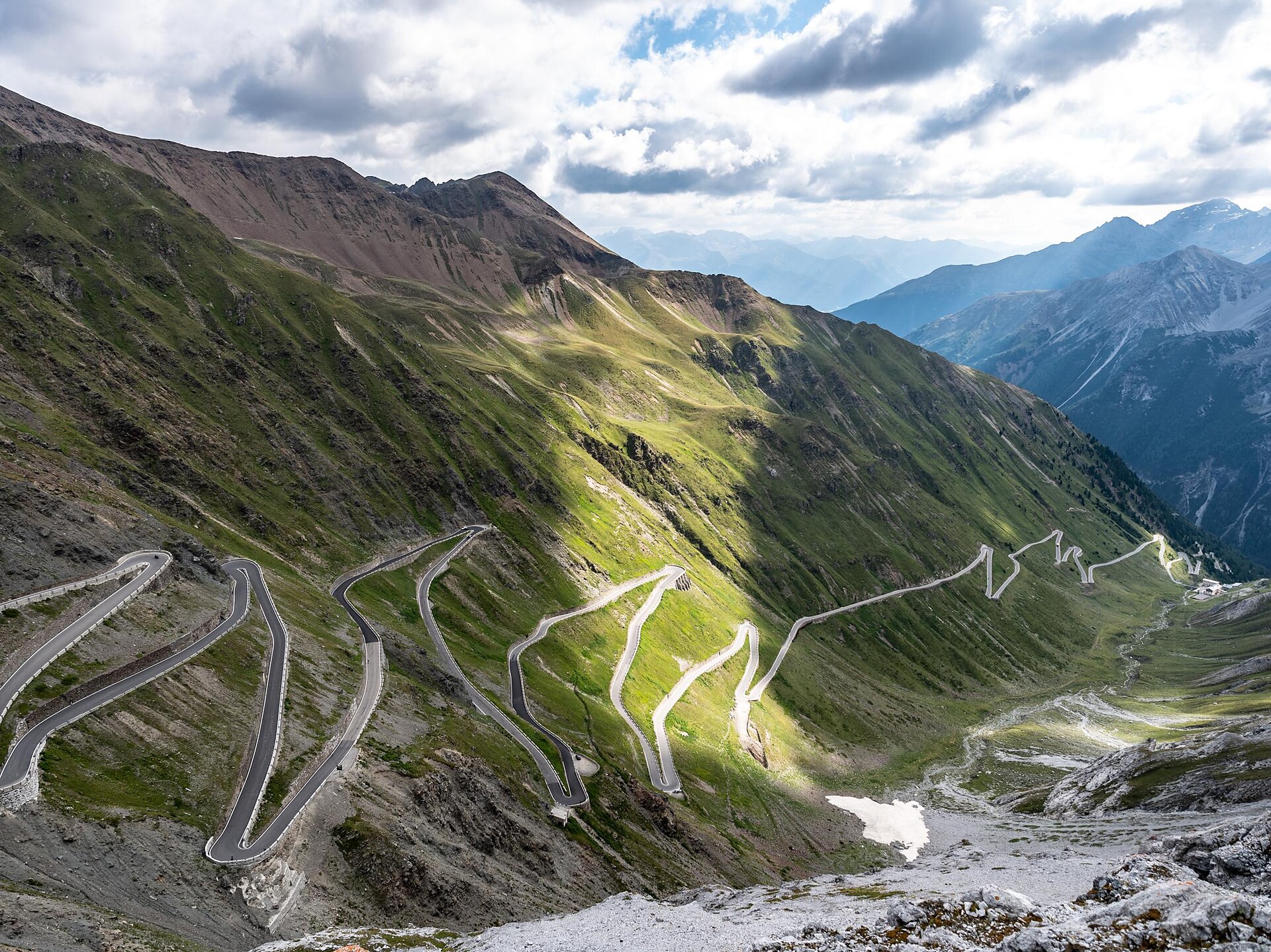
The Merano High Mountain Trail, considered one of the most beautiful hikes in the entire Alpine region, is an approx. 100-km circular hike. It can be circumnavigated in both directions in five to eight daily stages.
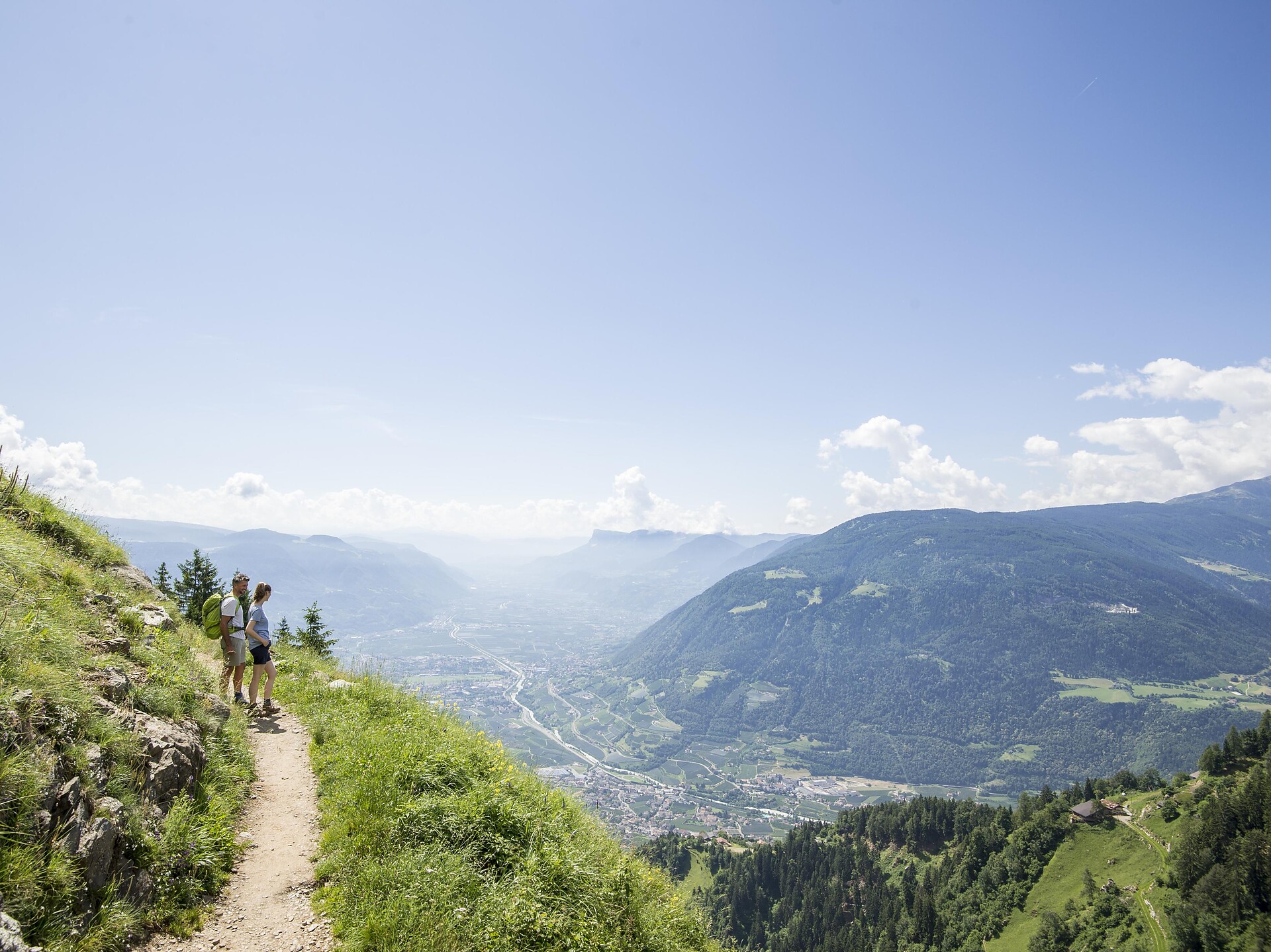
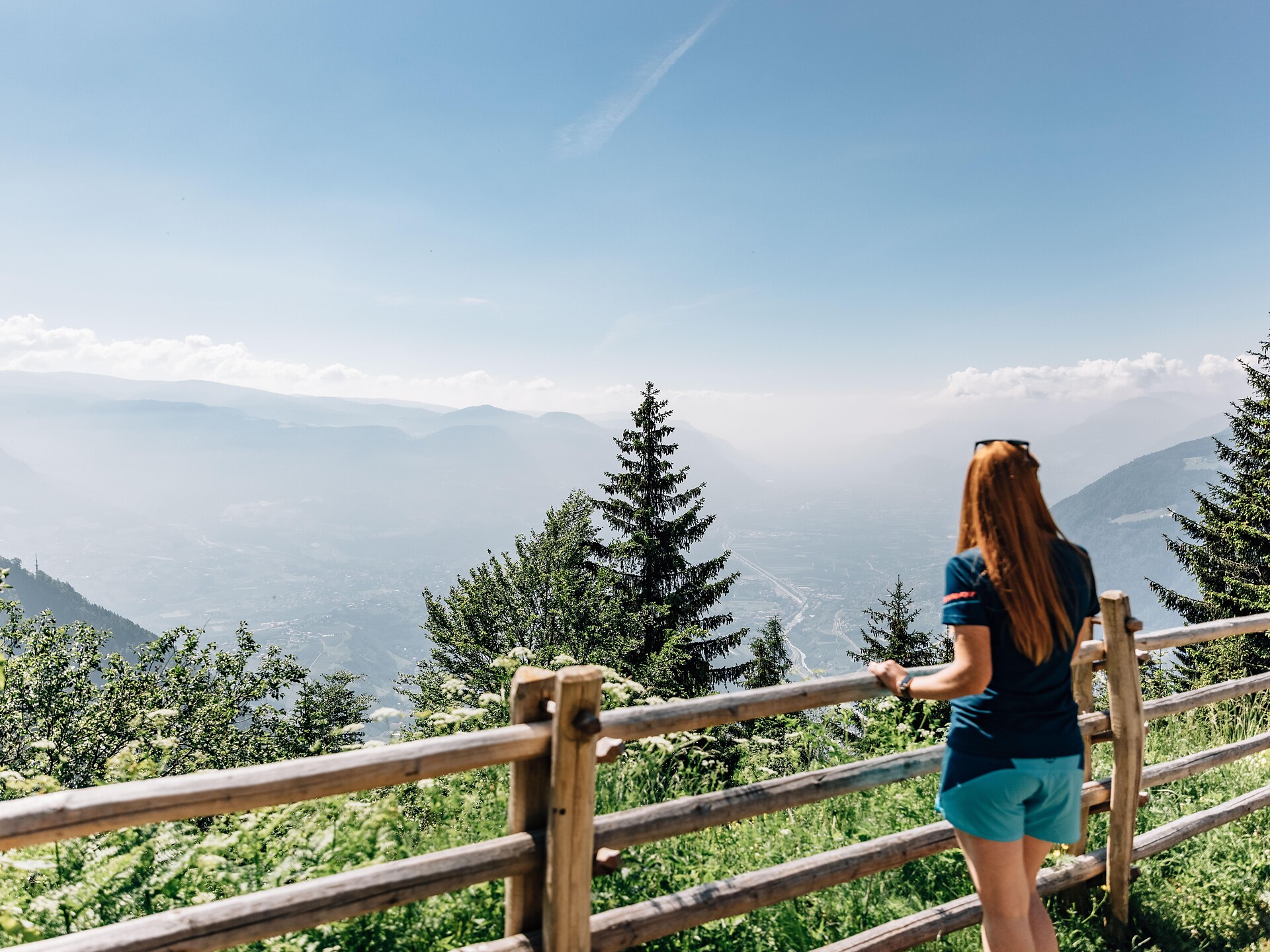
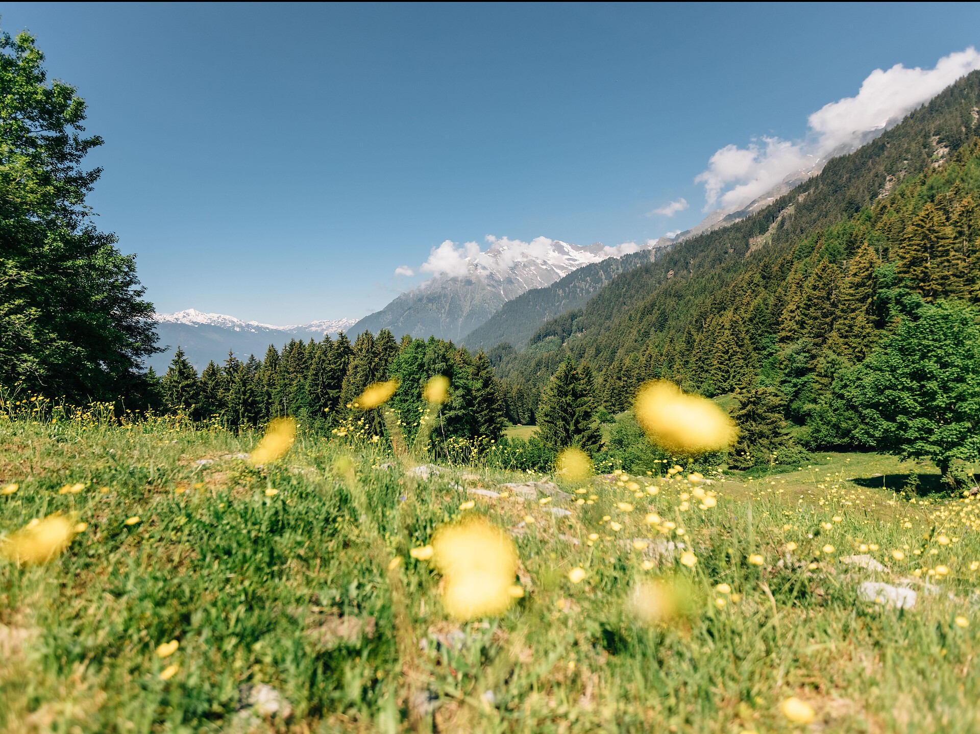
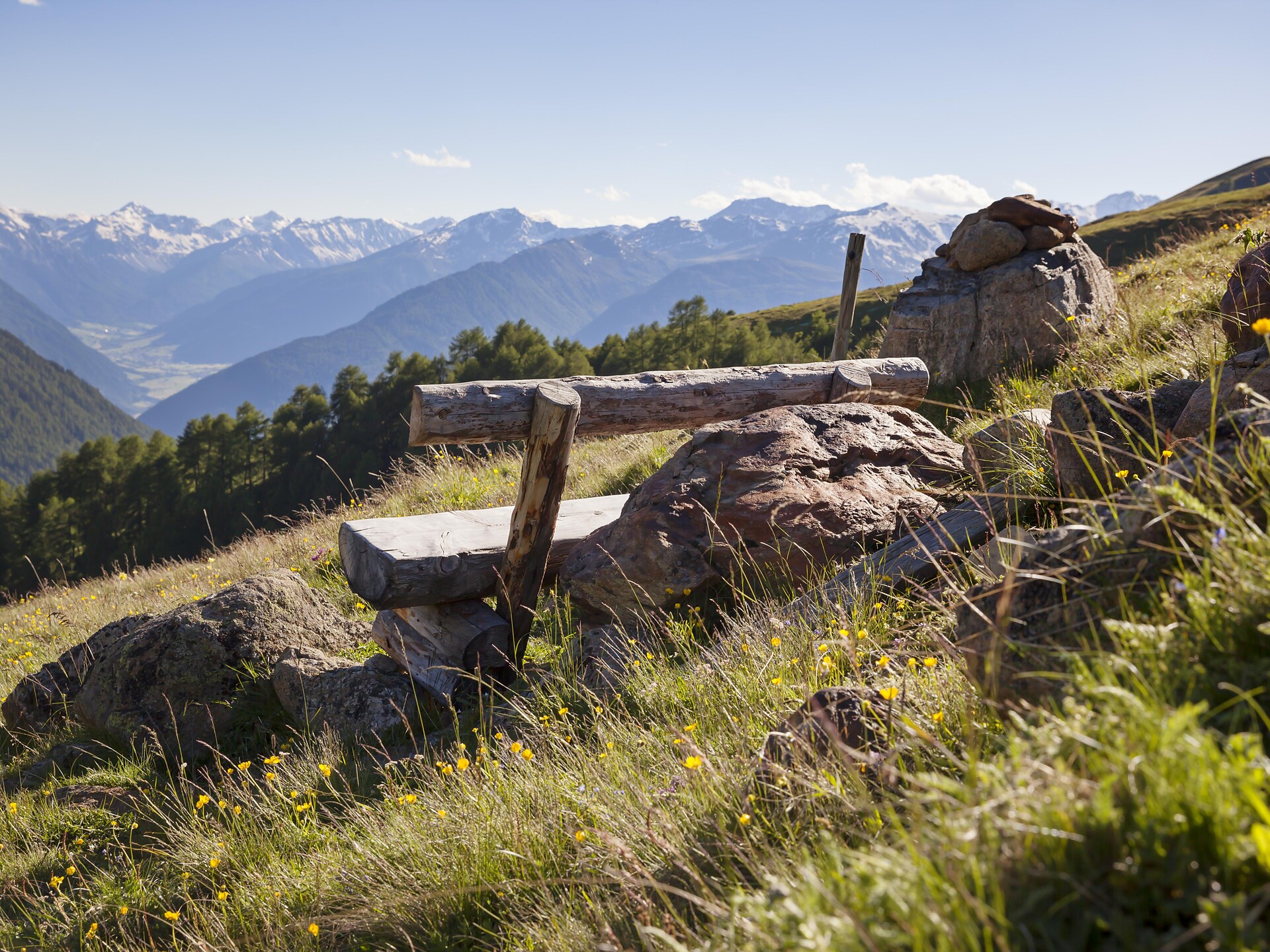
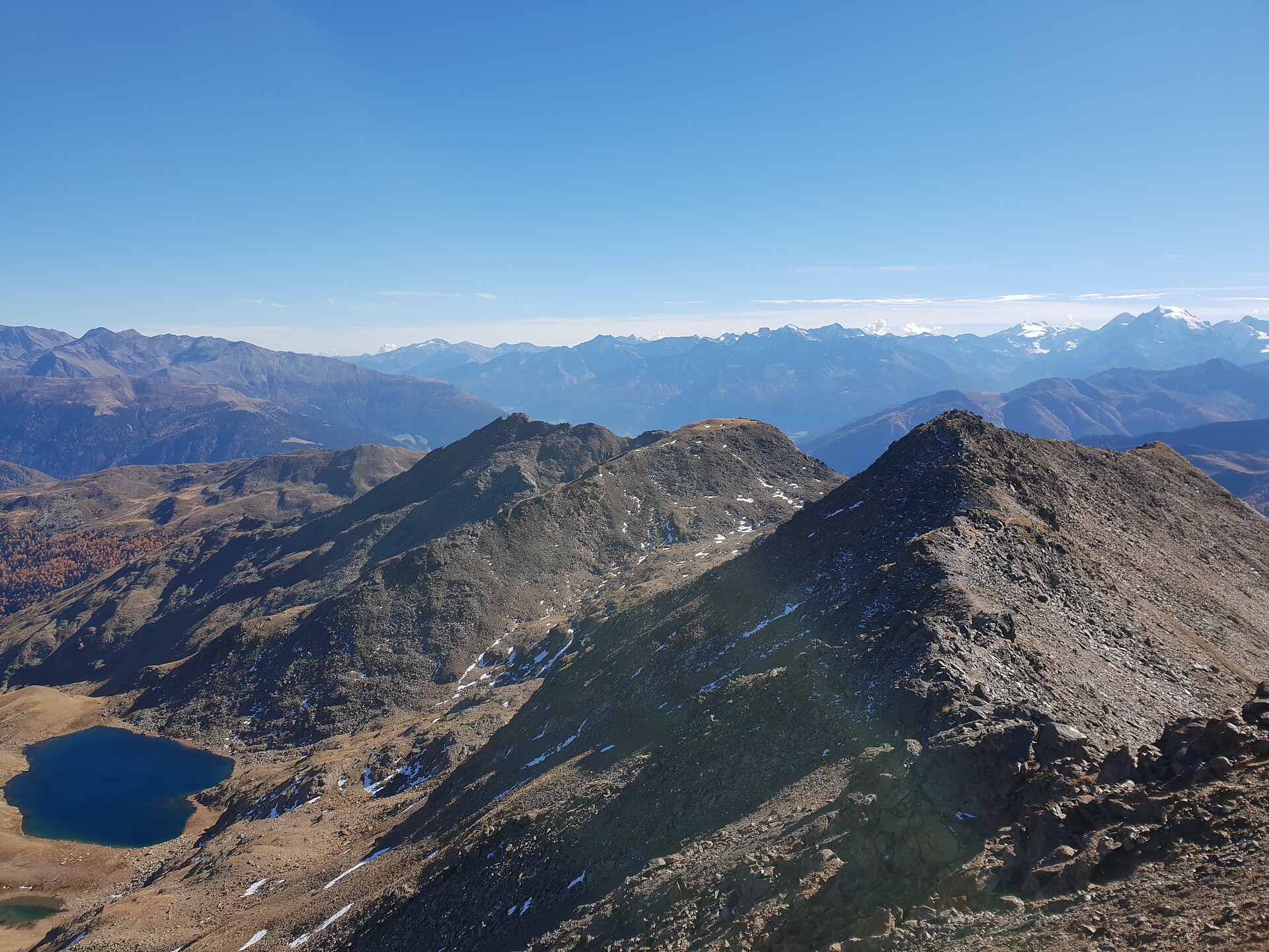
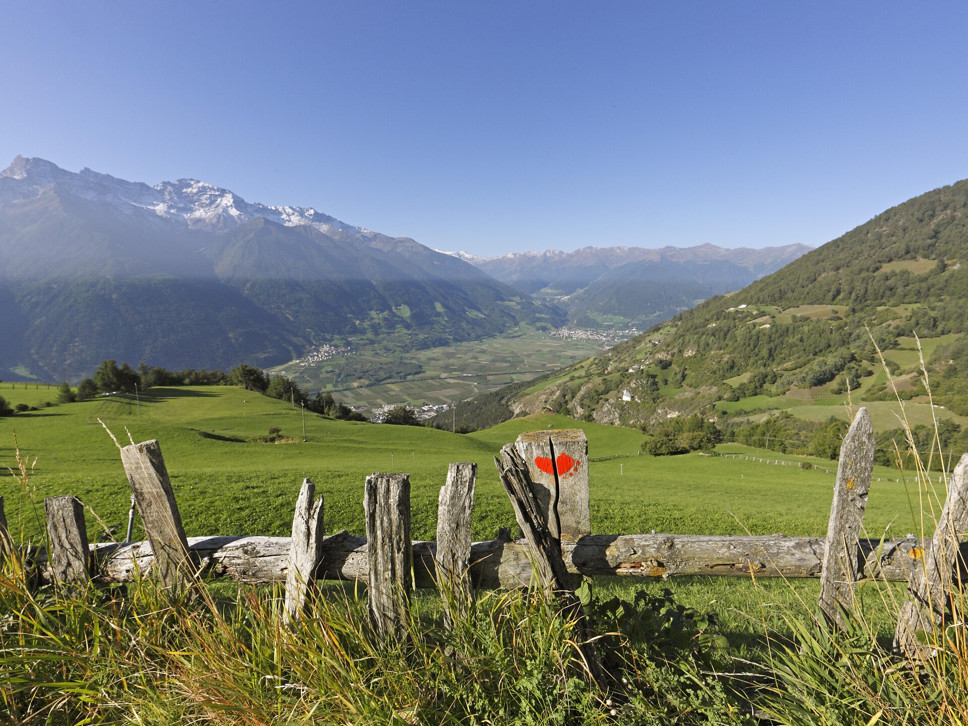
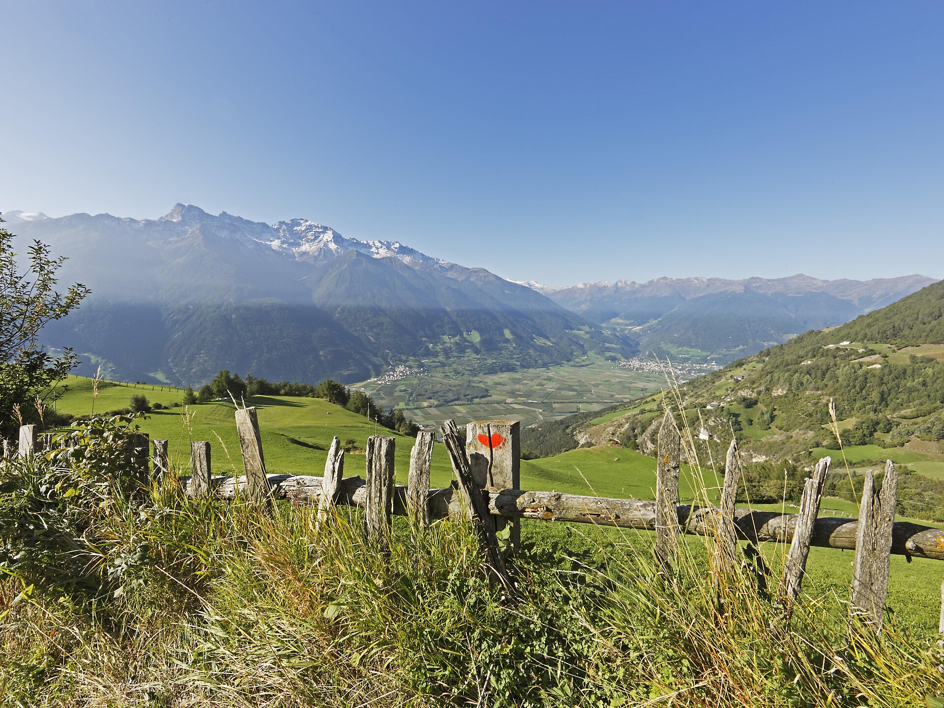
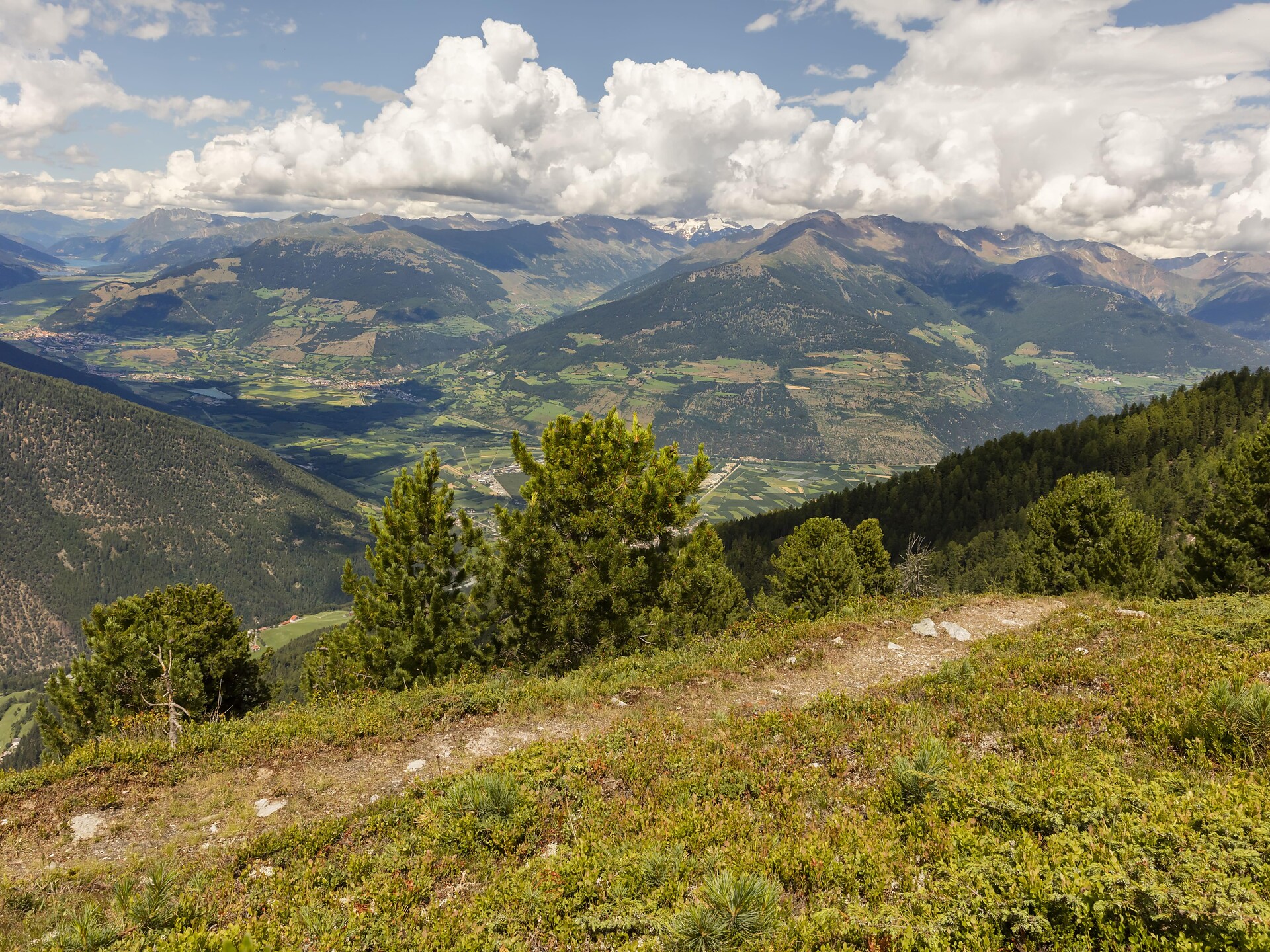
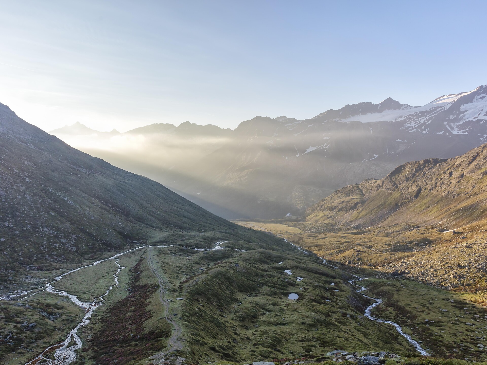
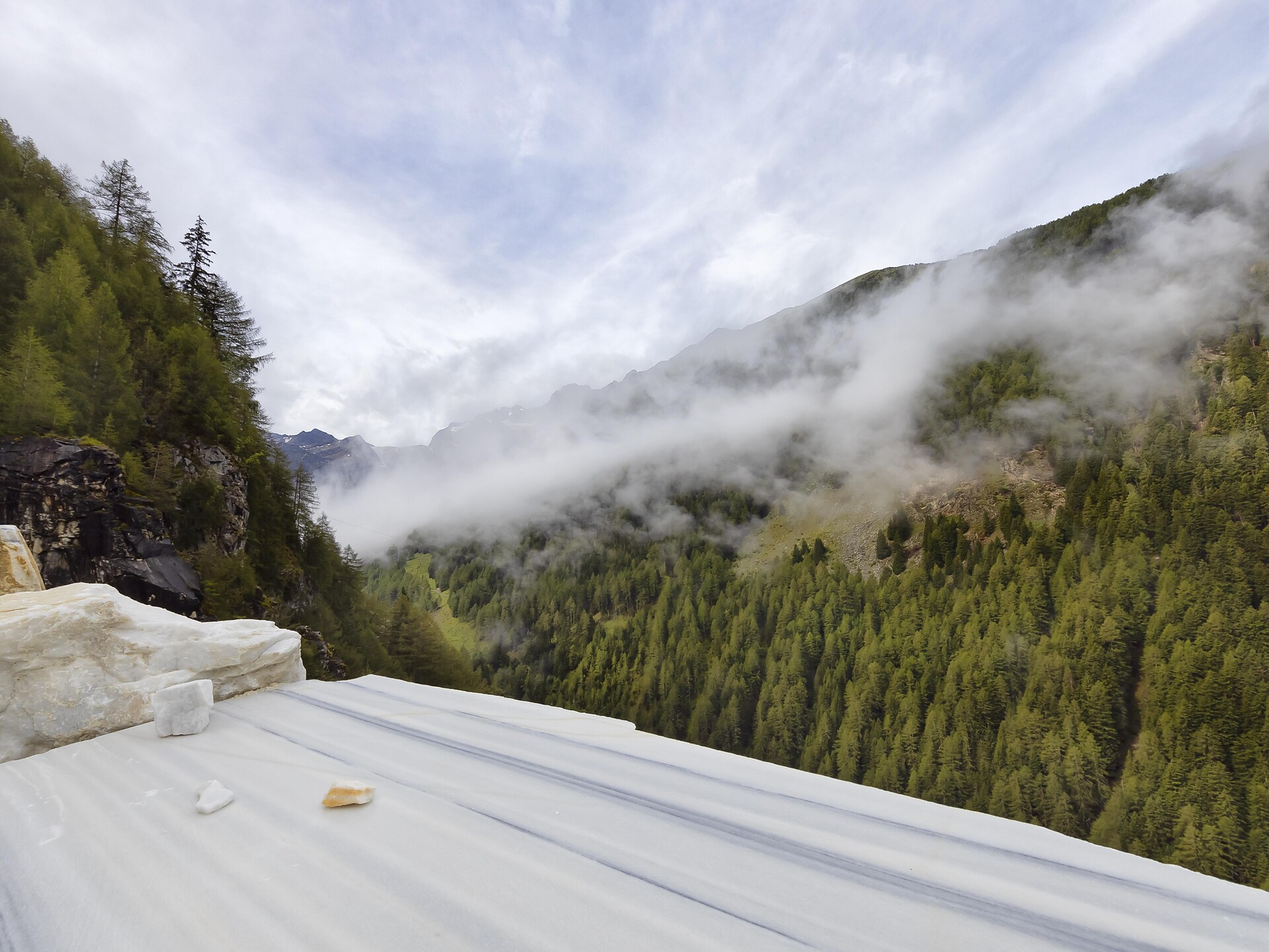
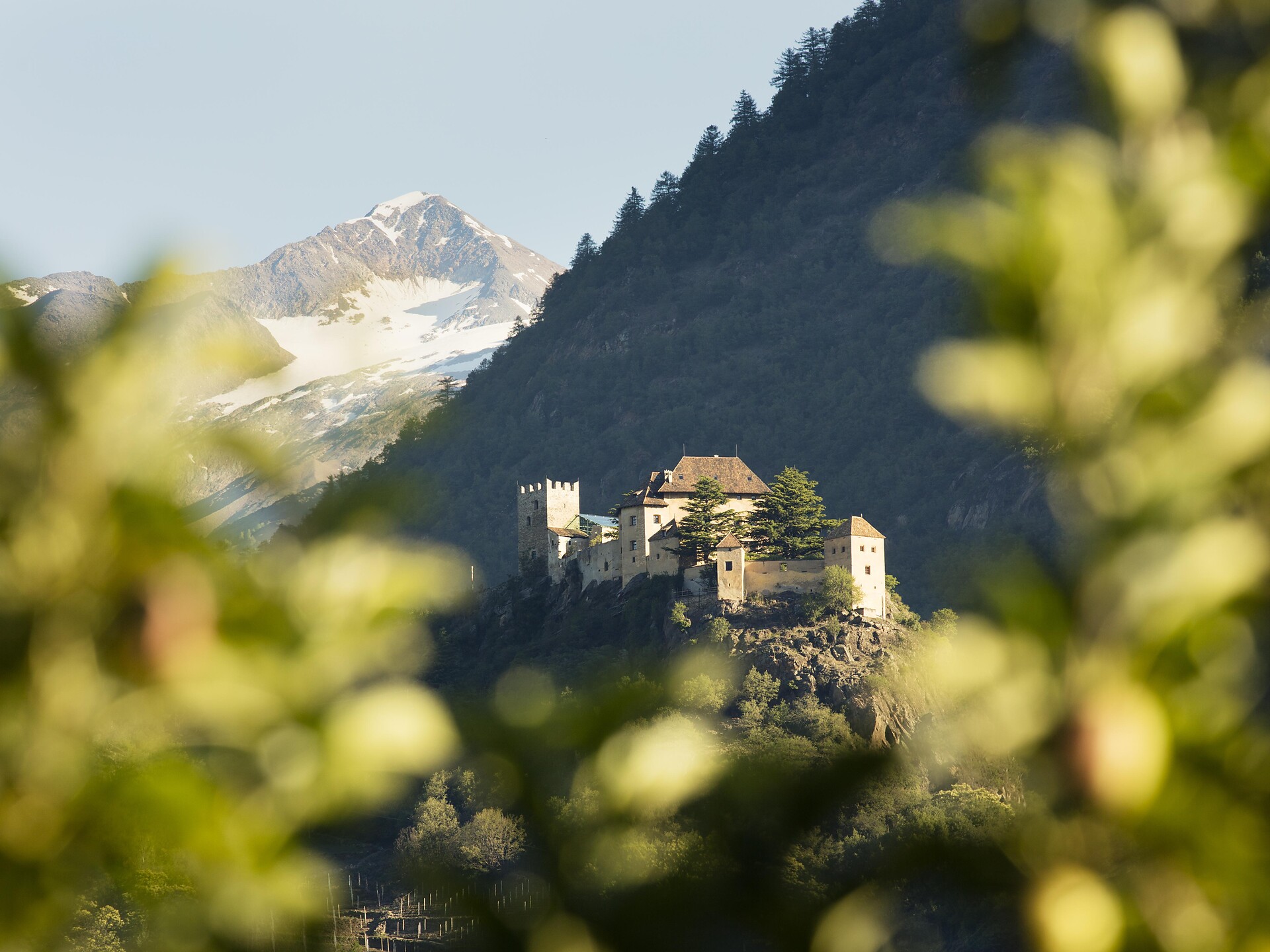
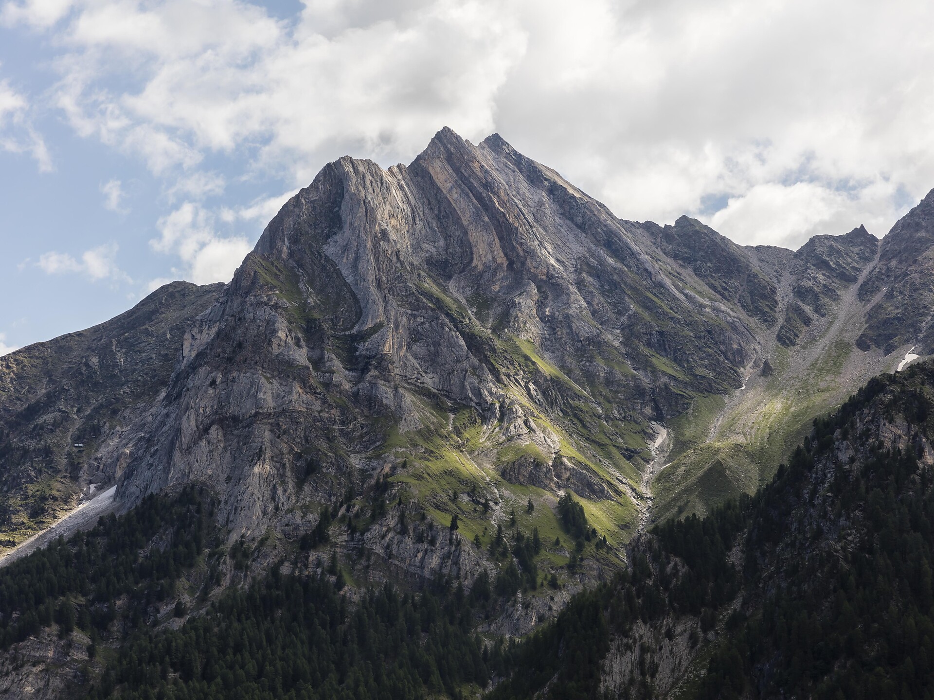
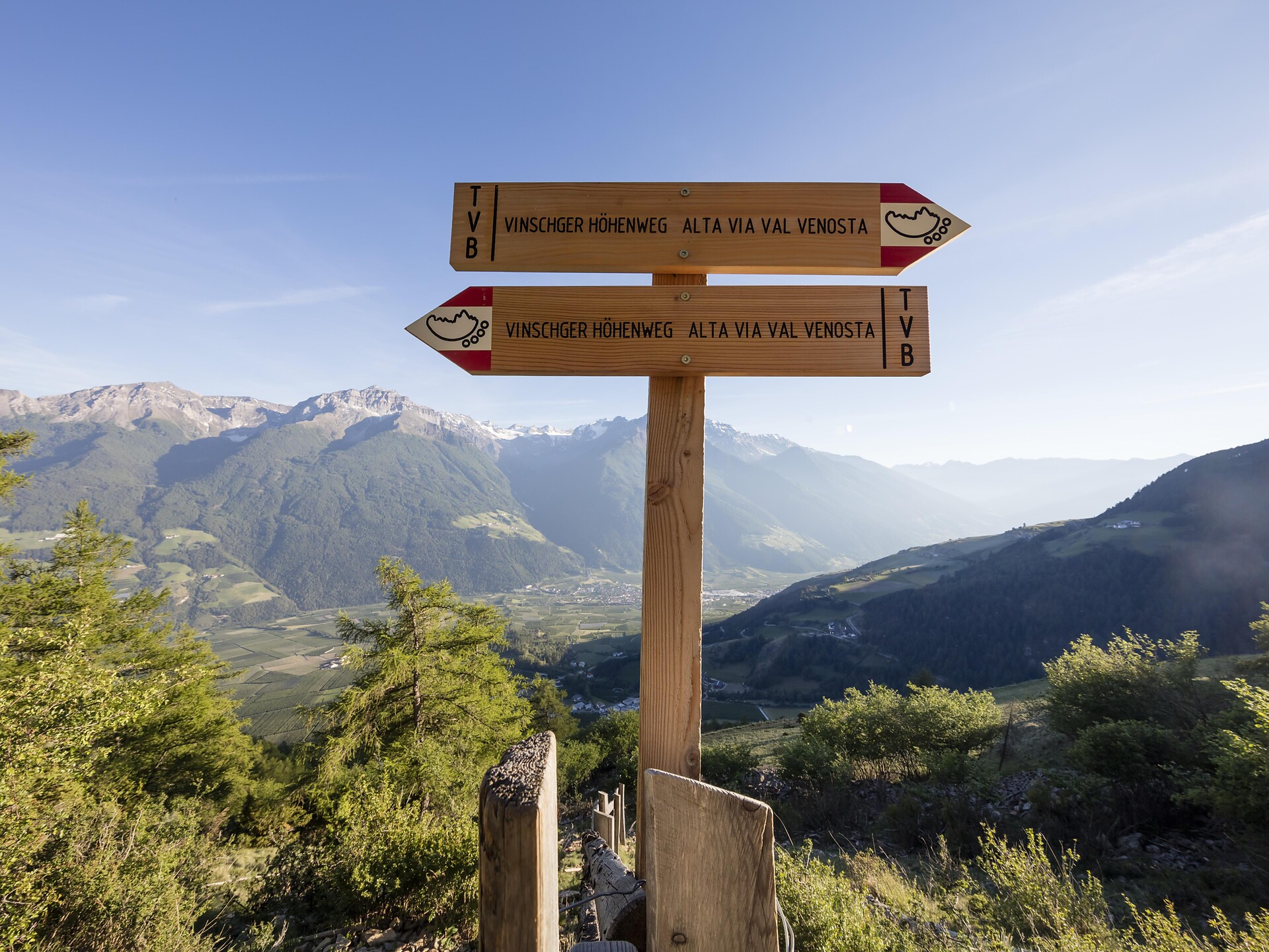
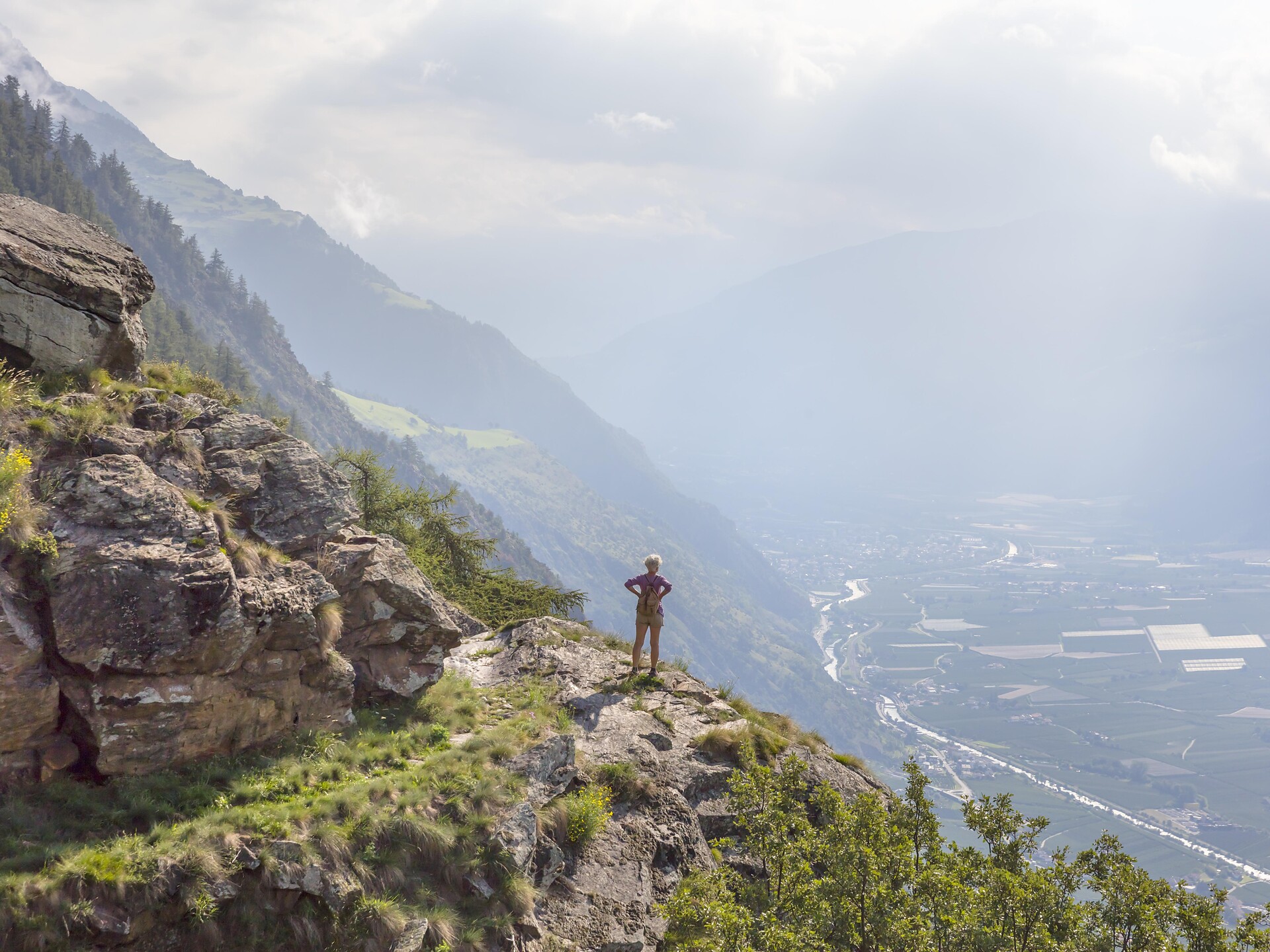
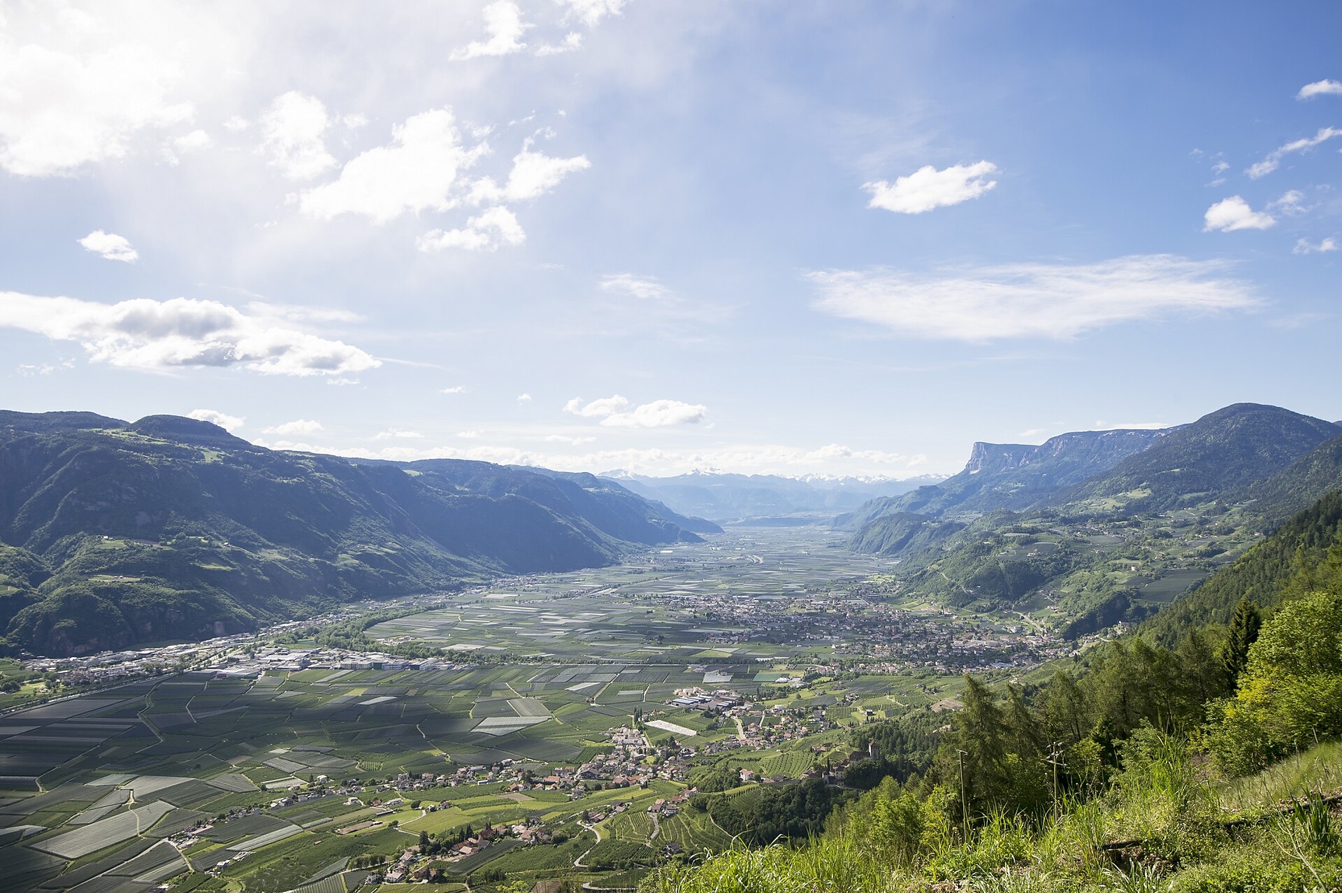
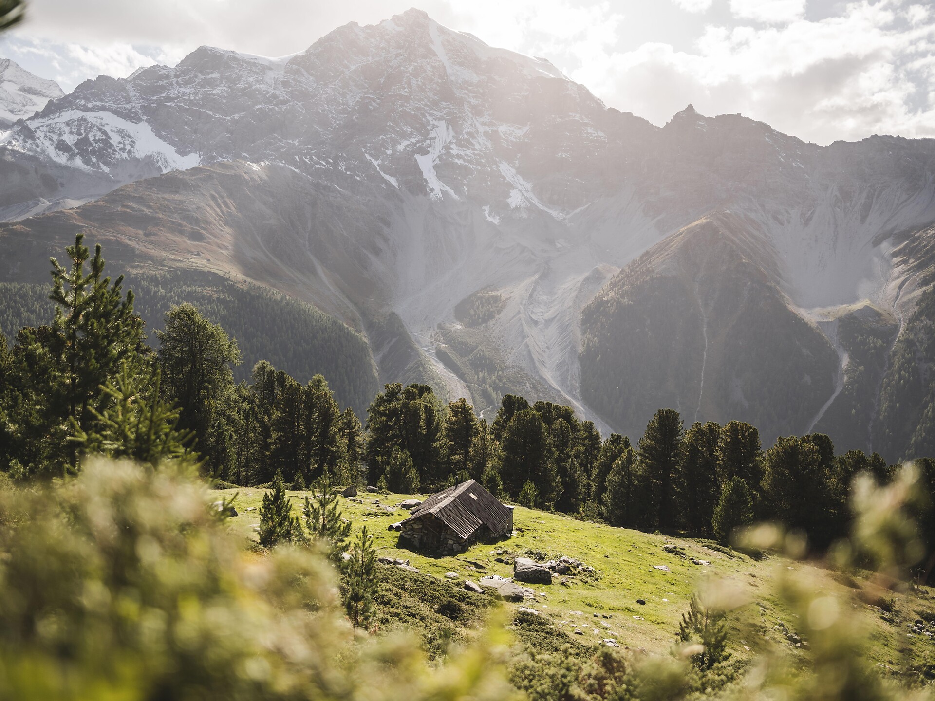
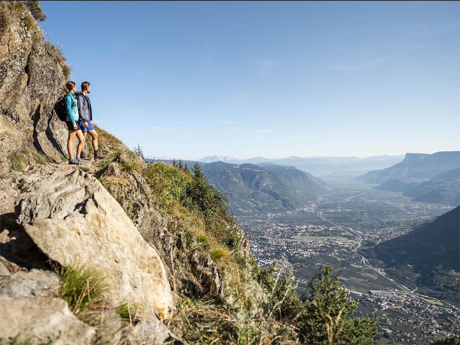
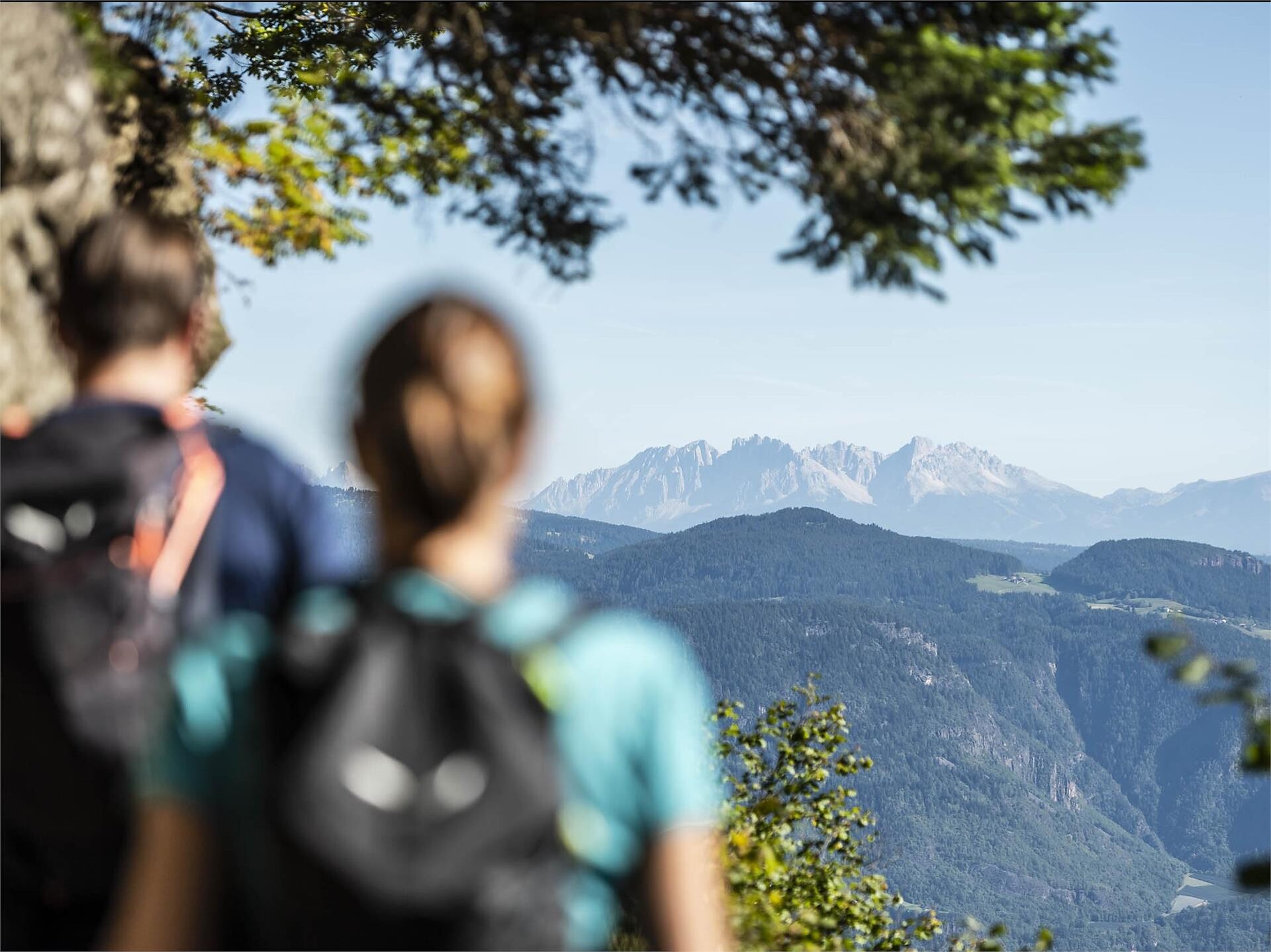
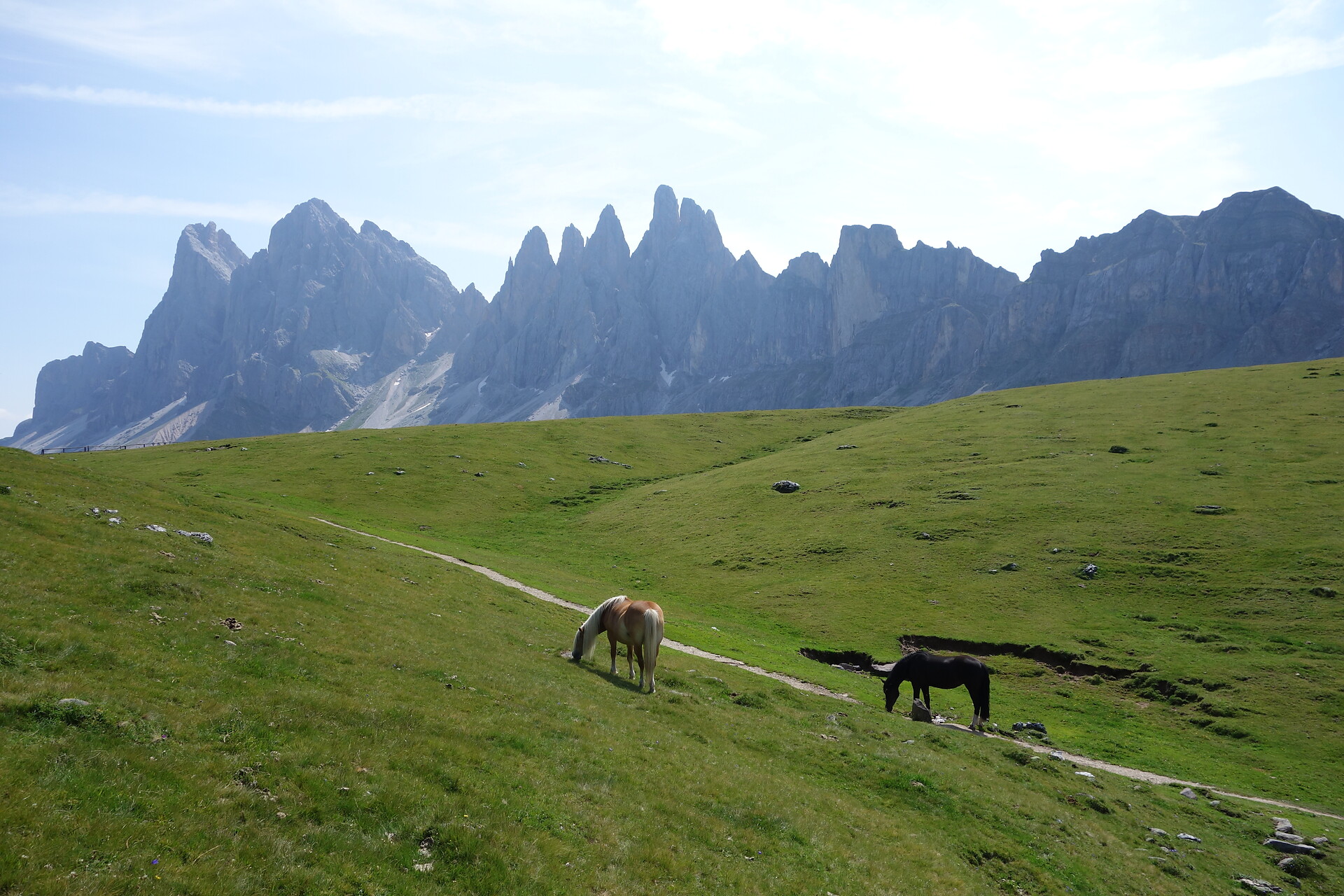
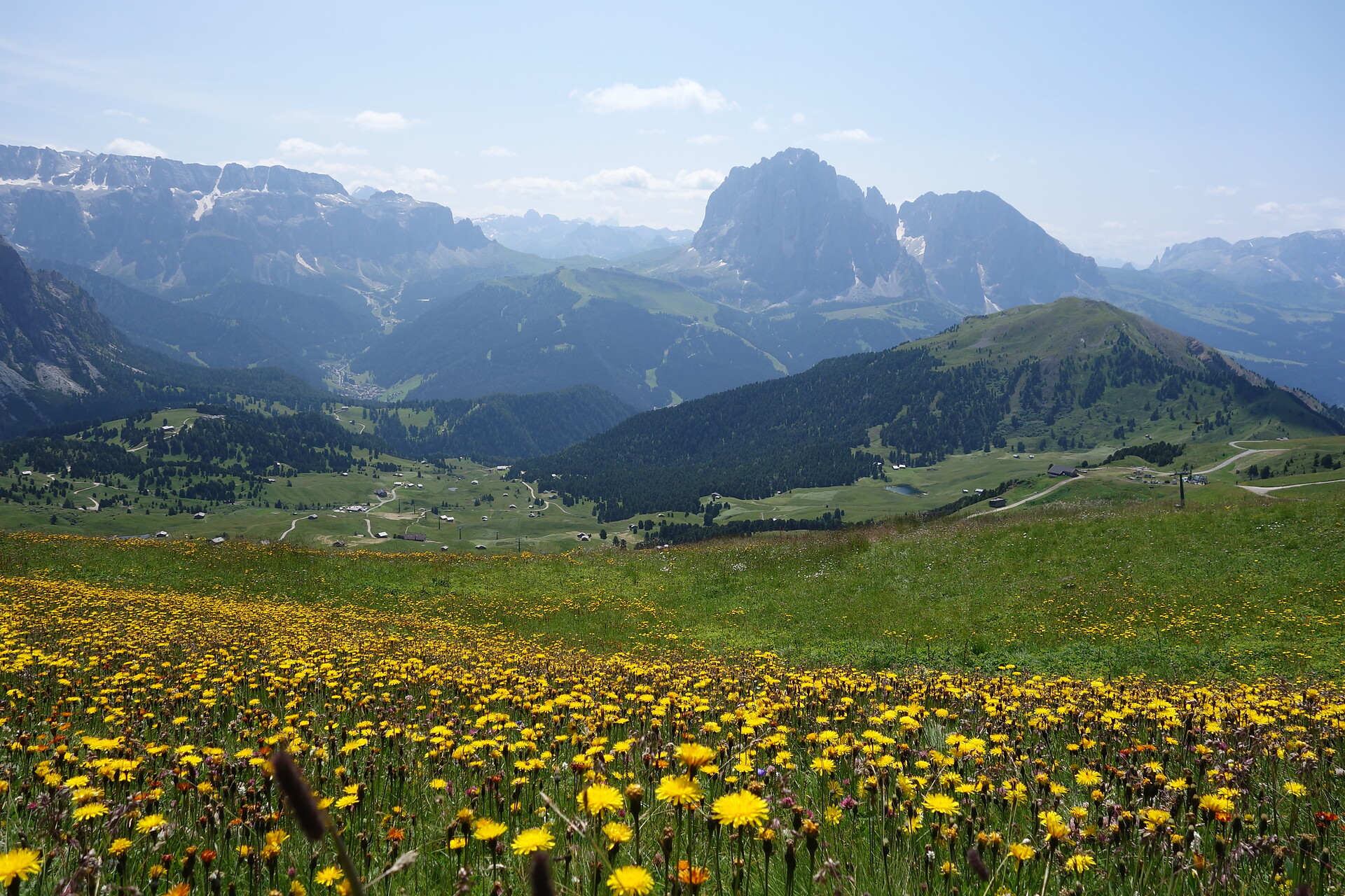
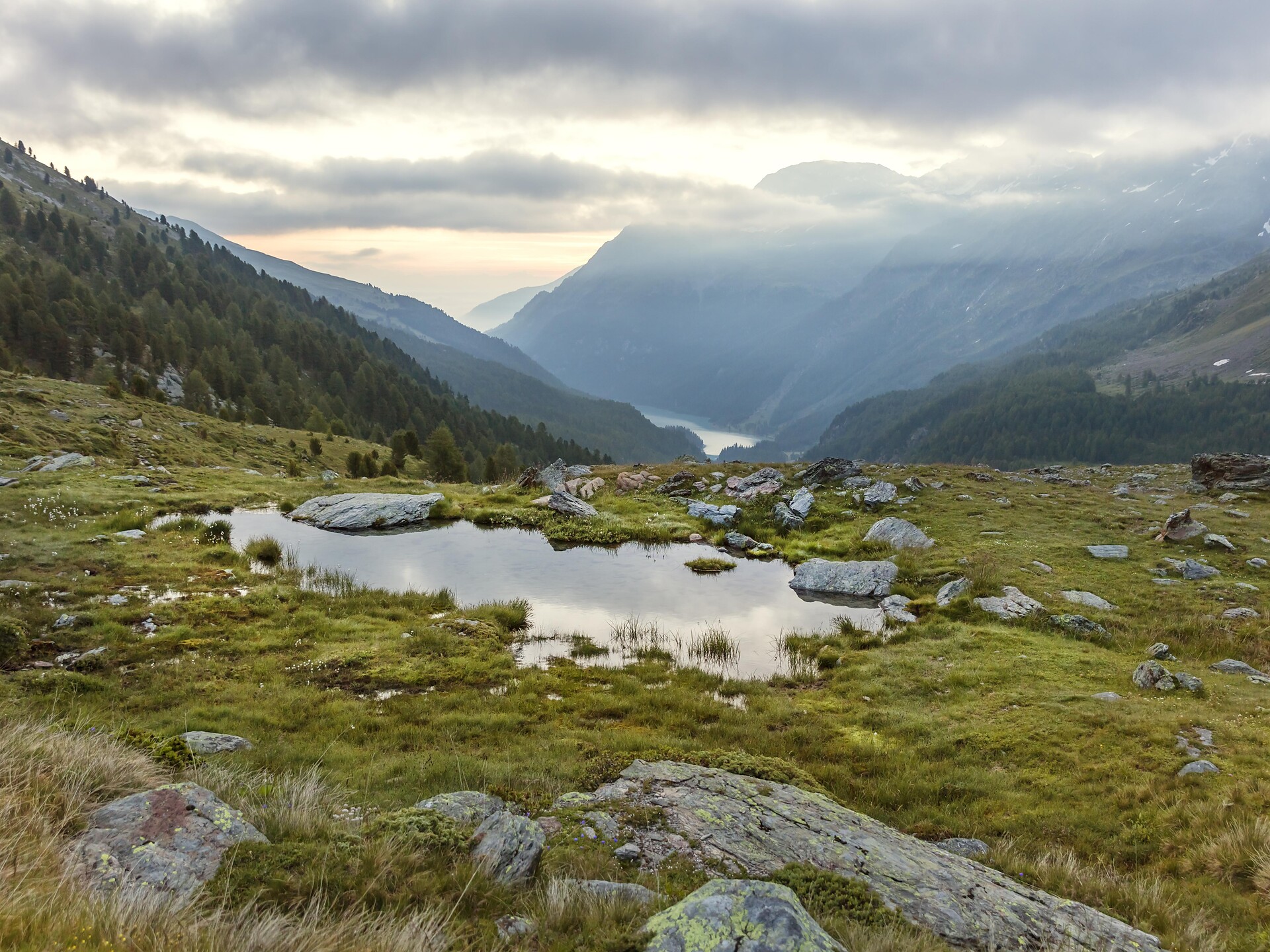
The Merano High Mountain Trail is divided into a northern and a southern part. Extending along route 24 at a relatively constant altitude, the trail surrounds the Texelgruppe Nature Park. The northern part features the high mountain climate typical of the Texelgruppe range while the southern part boasts a sub-Mediterranean climate with characteristically lush flora. In particular, the southern part features fantastic views of the city of Meran and the Etschtal and Vinschgau valleys.
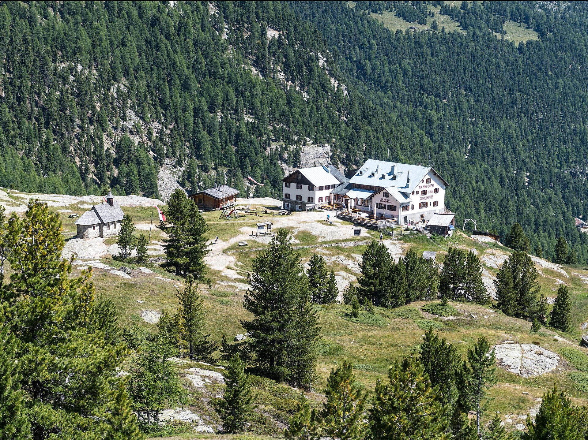
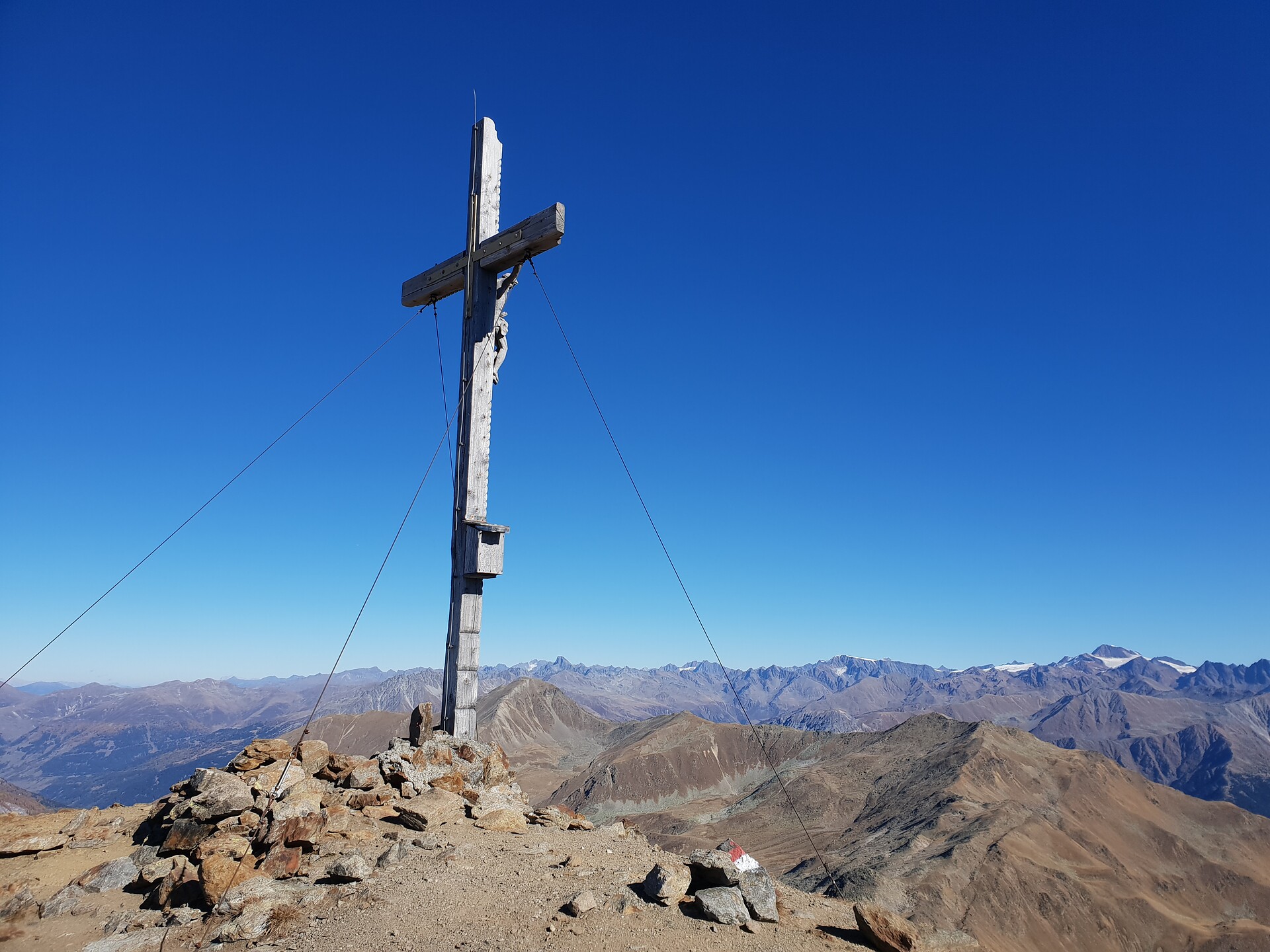
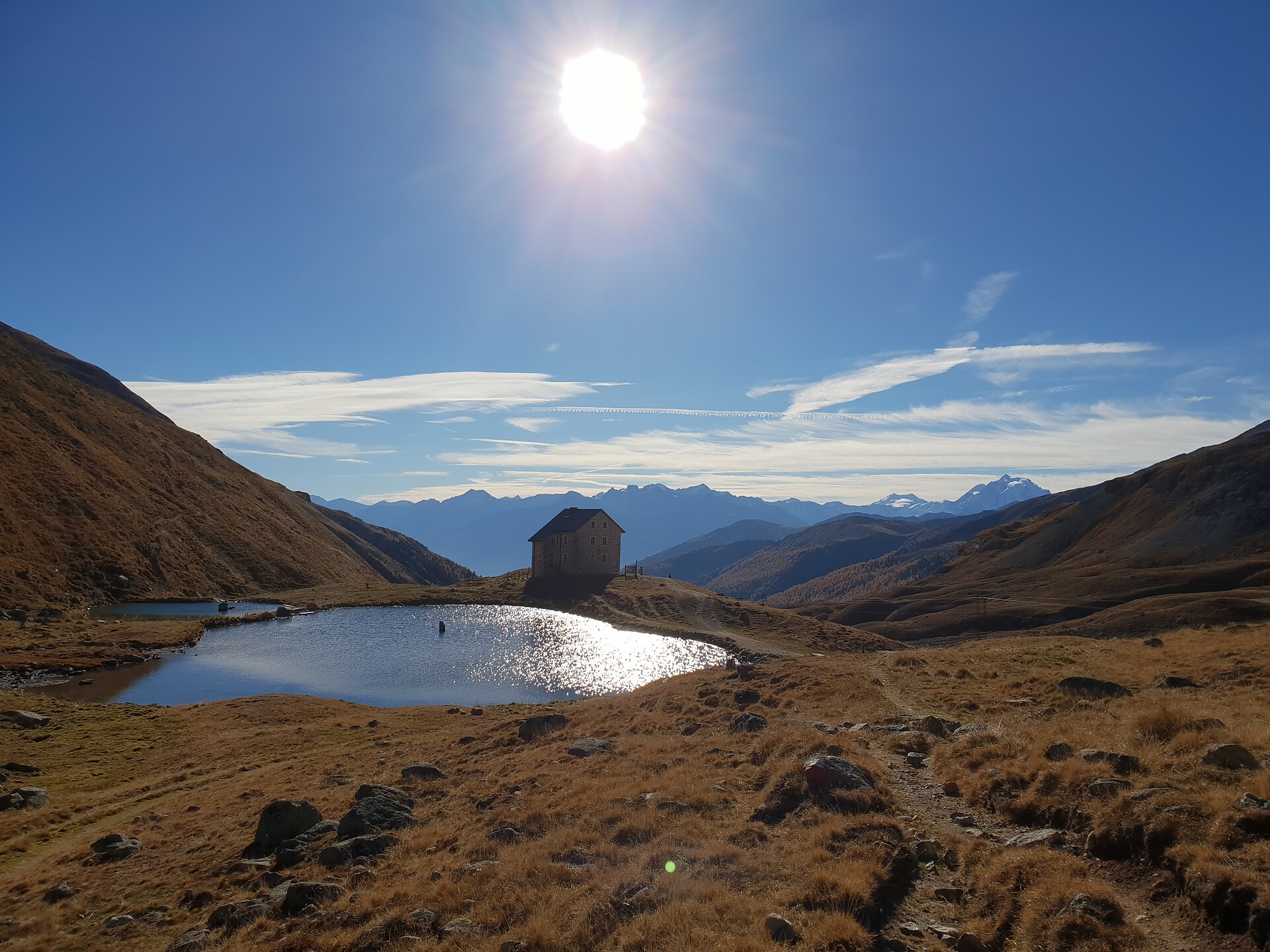
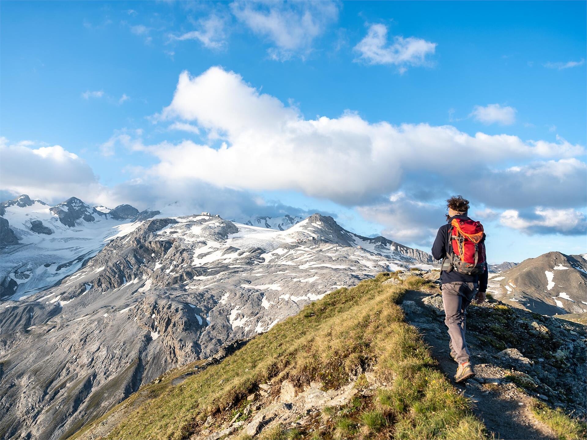
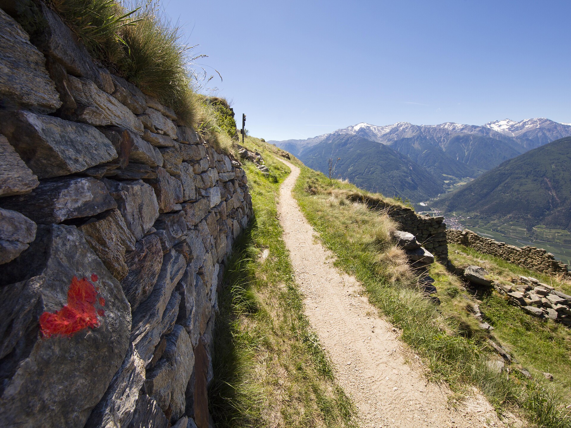
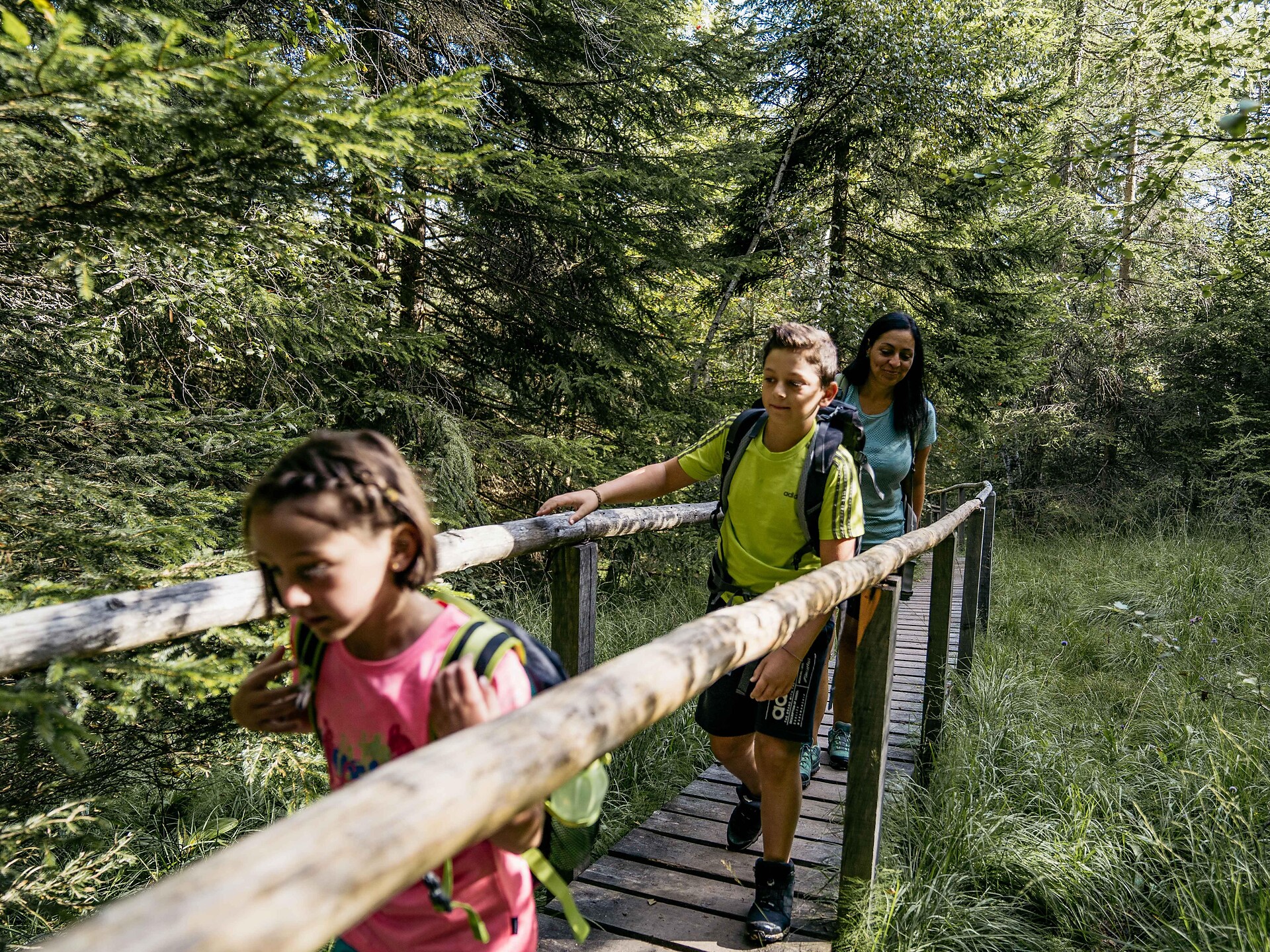
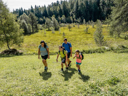
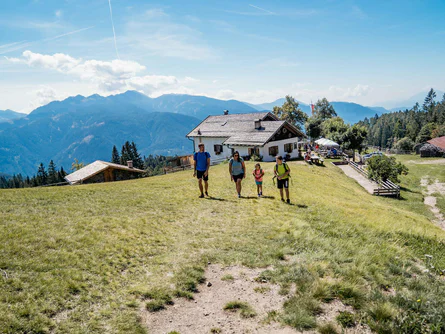
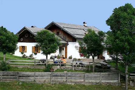
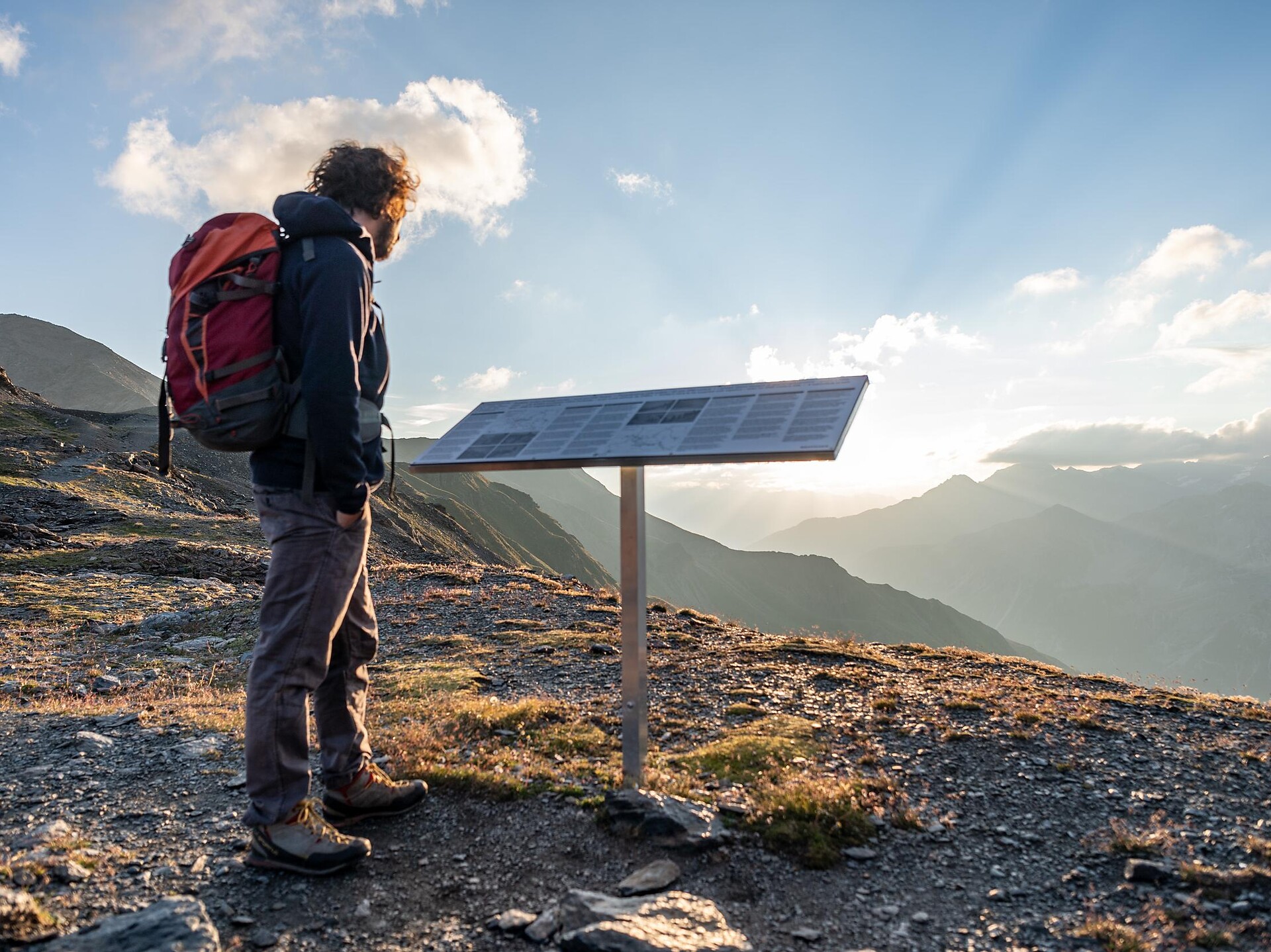
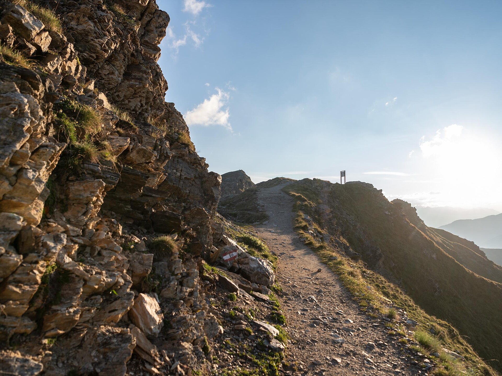
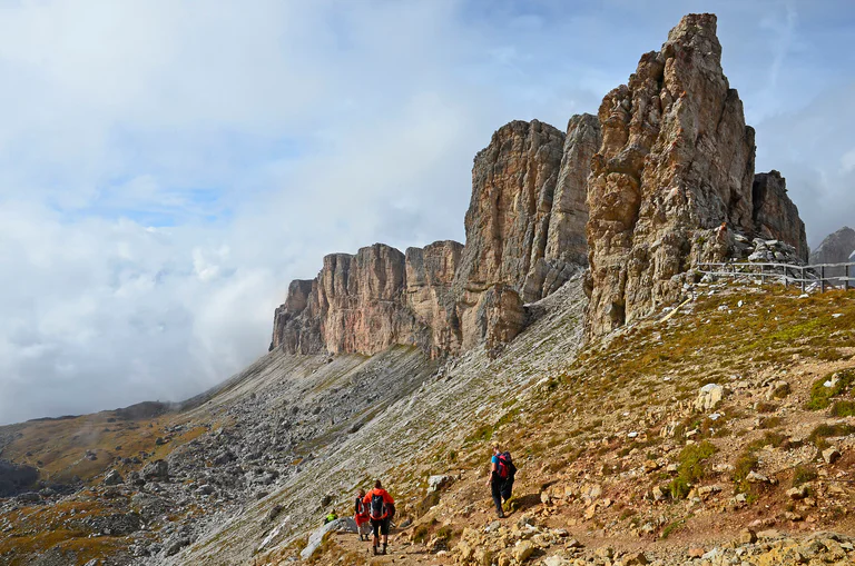
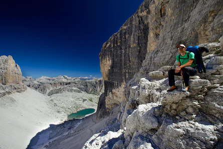
The lowest point of the trail is 839 m elevation while the highest section extends to nearly 3,000 m. Hikers along this route can ascend and descend to and from the Etschtal, Passeiertal and Schnalstal valleys. Additionally, there are numerous overnight accommodation options along the trail that make it possible to hike only individual stages or to tailor the route to personal preferences. The trail demands both sure-footedness and alpine experience and the exposed areas are always secured with chains or ropes.
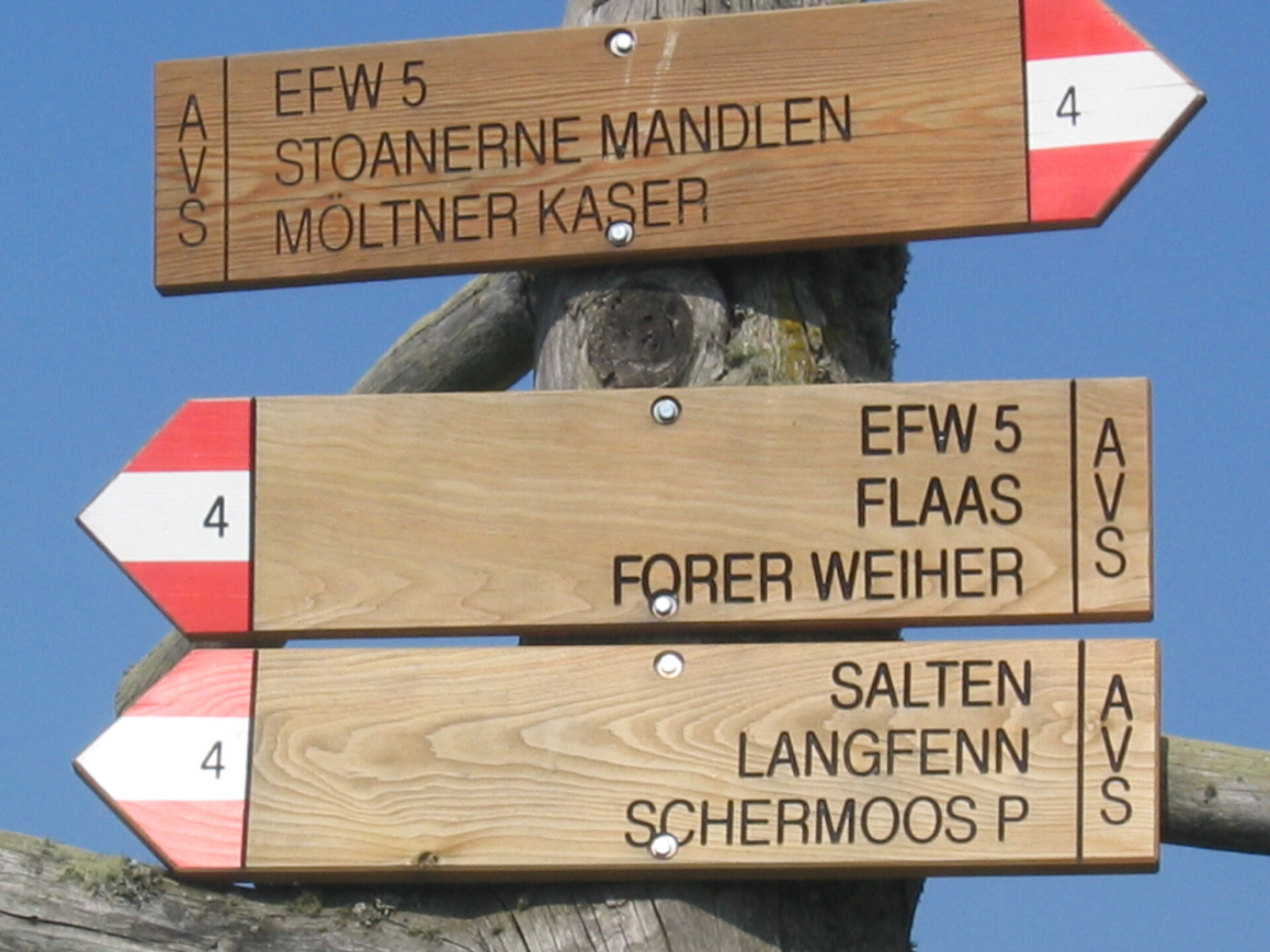
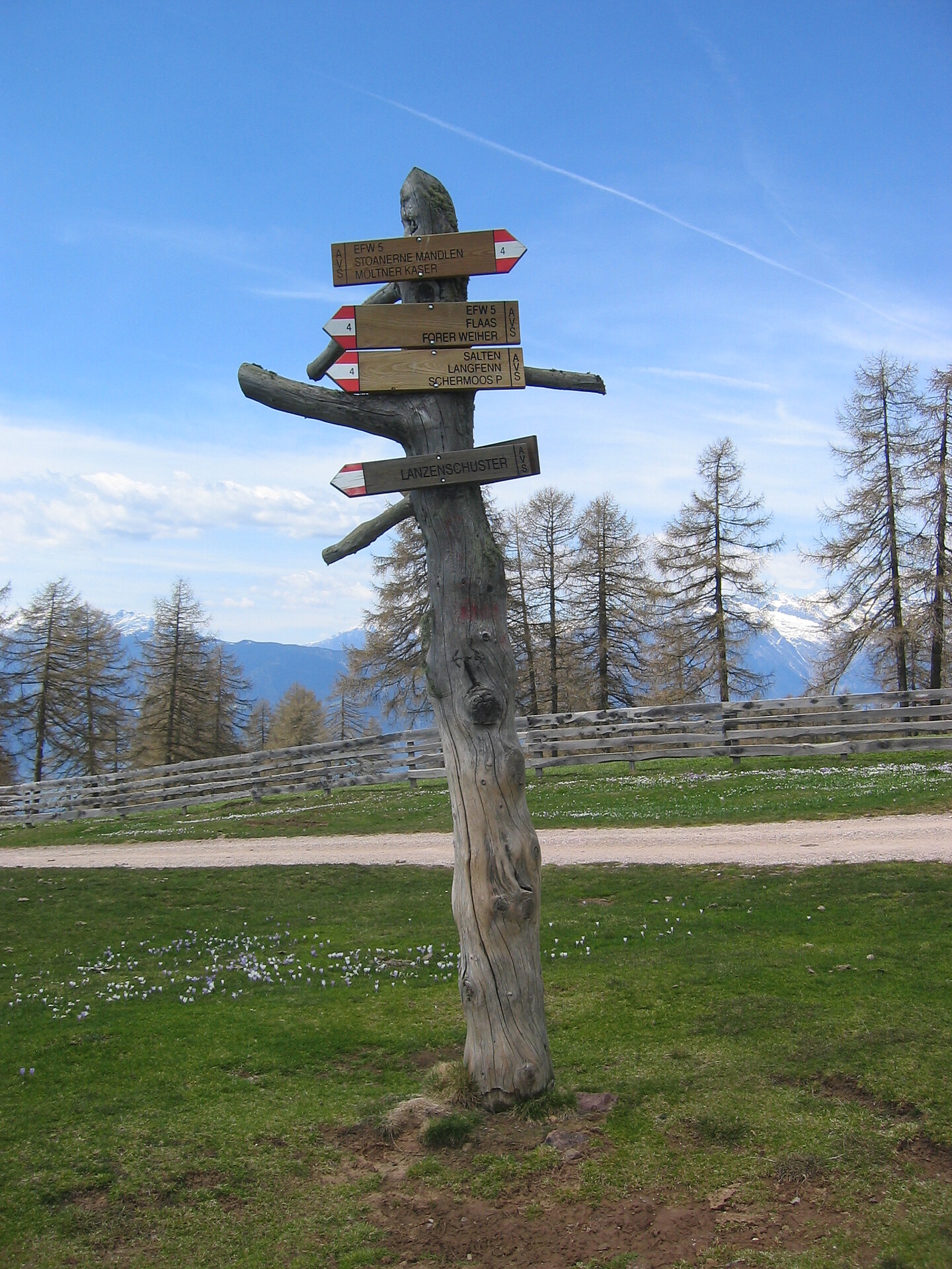
Possible start and finish points: Katharinaberg, Unterstell, Hochmuth, Ulfas, Vellau, Giggelberg, Pfossental, Christl, Matatz
Duration: 5-8 days
Length: approx. 100 km
Total difference in altitude: 5,100 m
Lowest point: 839 m
Highest point: 2,895 m
Level of difficulty: for experienced mountain hikers
Best period: from July to September
Information about possible closed trails on maps.merano-suedtirol.it
General information: www.meranerhoehenweg.com