Hiking
Latsch/Laces, Vinschgau/Val Venosta
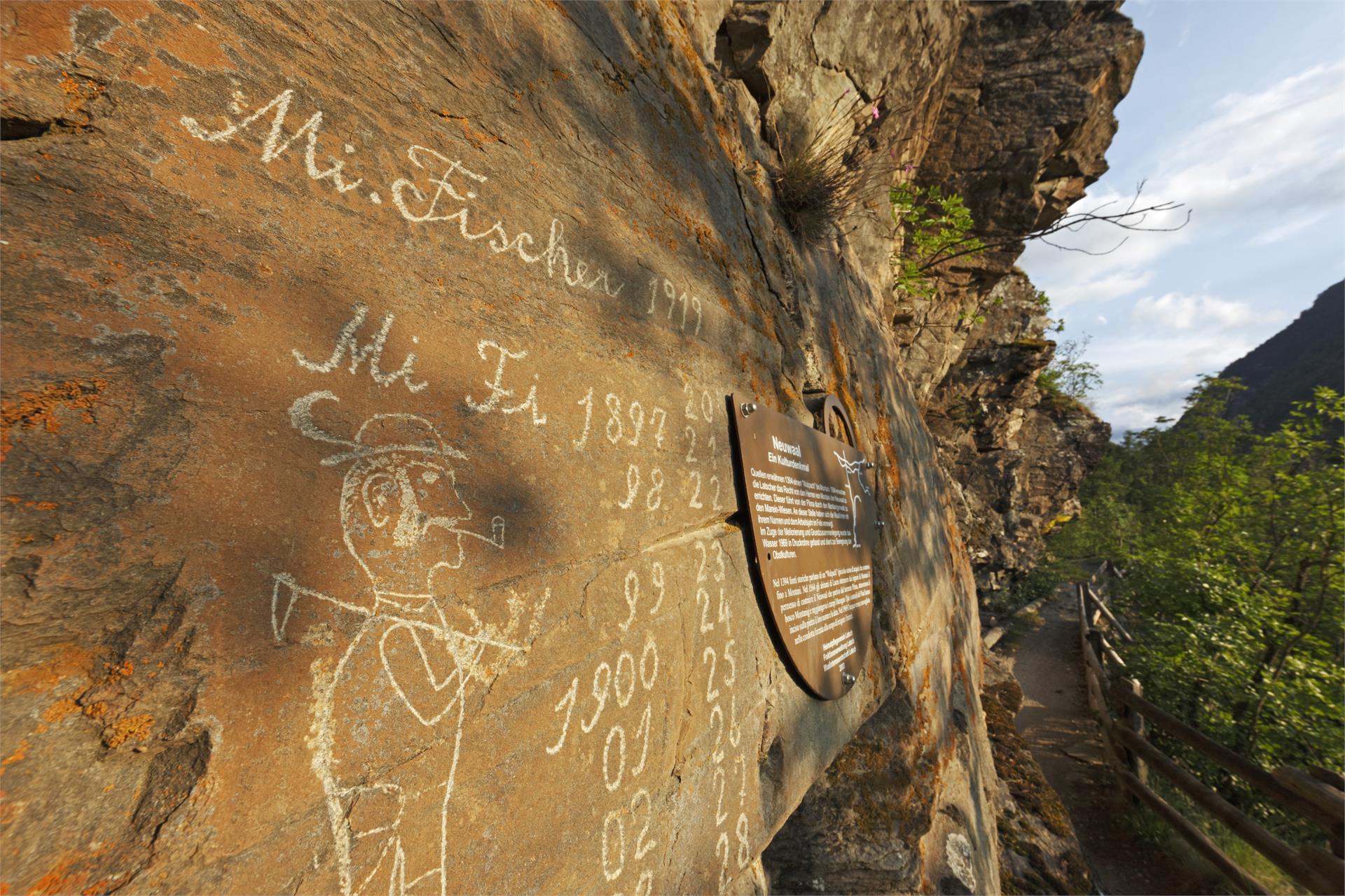
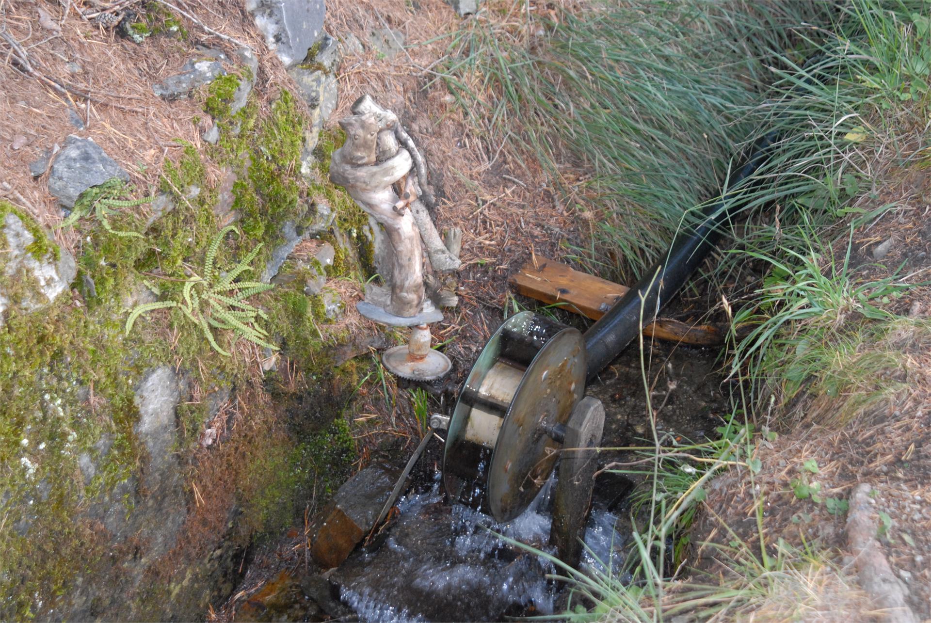
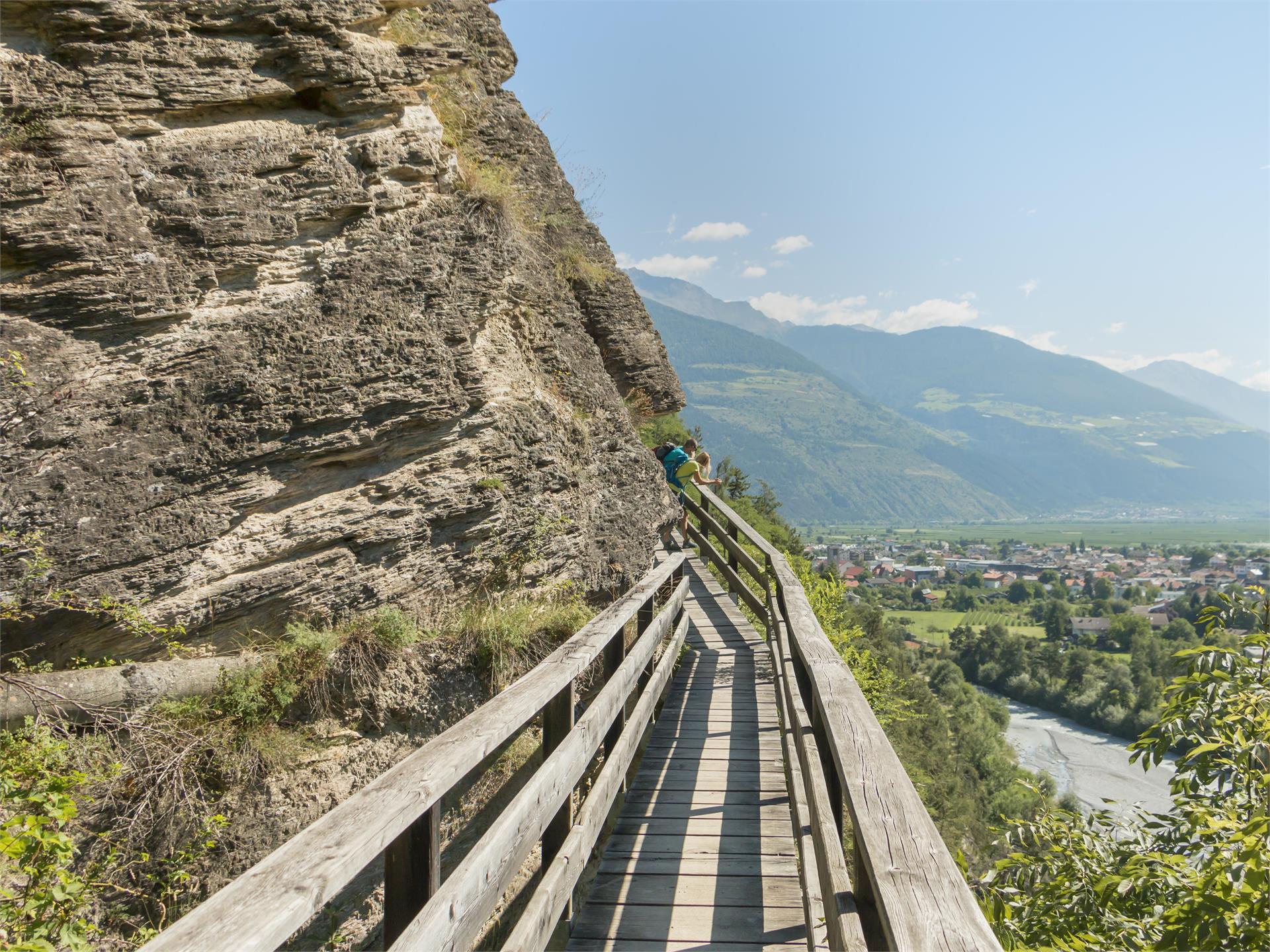
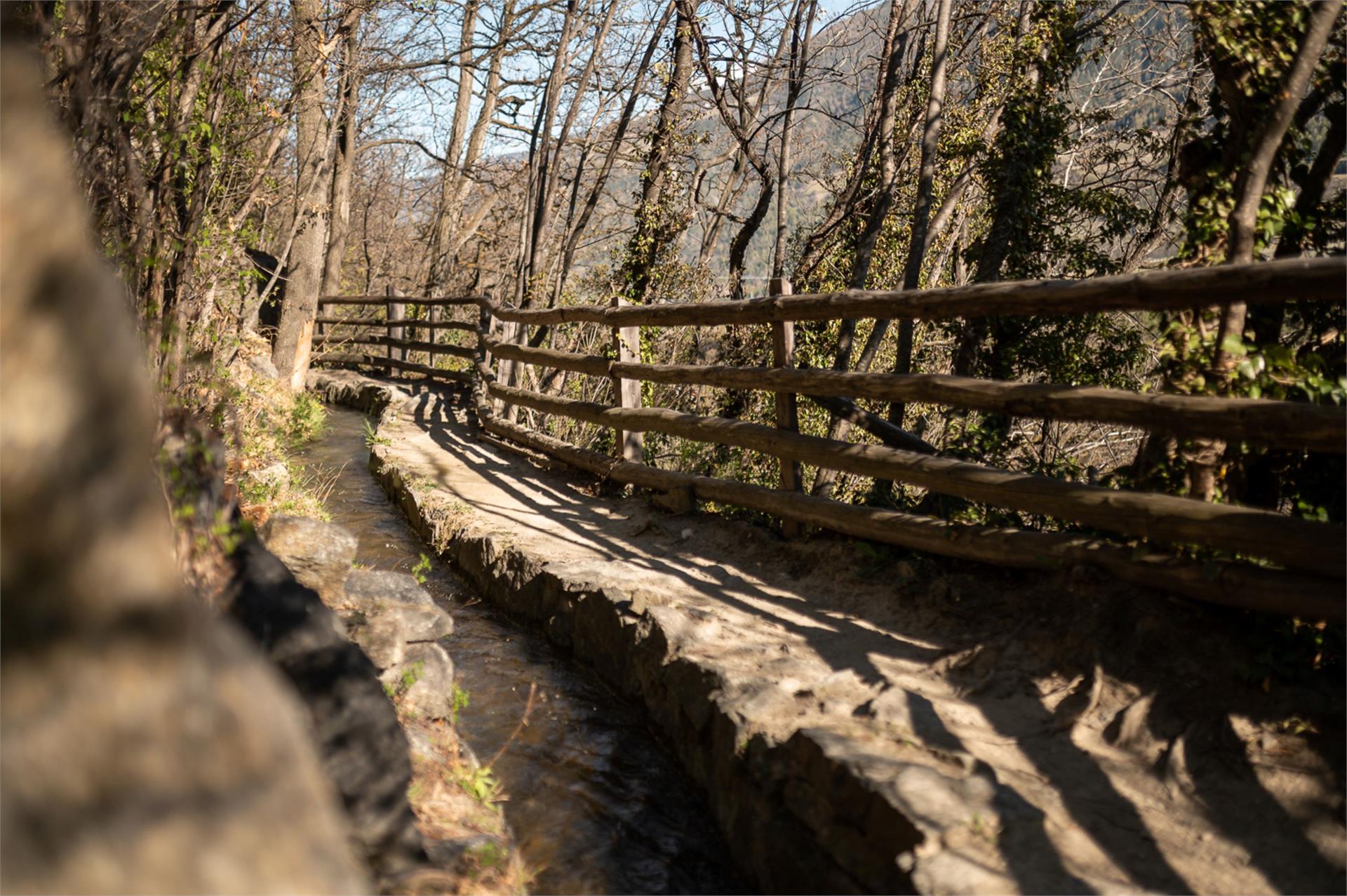
Idyllic irrigation channel path to the cultural treasures, with a unique panorama.
This hike starts at Prato and continues slightly above the wide valley floor, to the idyllically situated village of Montechiaro.
Dziękujemy bardzo! Sprawdź swoją pocztę e-mail, wysłaliśmy Ci potwierdzenie. Jeśli nie ma go w skrzynce odbiorczej, sprawdź folder spamu