Südtirol Guide App Logo
Skip to content

Added to favourites

Removed from favourites

Oops! Something went wrong. Try again

Your account is being created

Your account has been successfully created and you are now logged in

You’ve been logged in successfully!

Password updated successfully

Your account was created successfully, but we couldn't log you in automatically

You are logged out.

Hiking

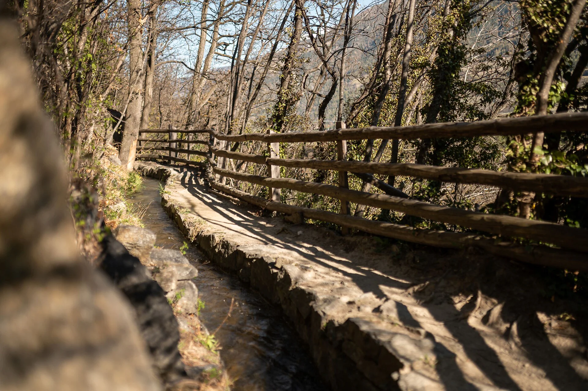
Rautwaal irrigation channel path

Latsch/Laces, Vinschgau/Val Venosta
from center
This idyllic irrigation channel trail winds gently through the landscape, guiding you past fascinating cultural treasures steeped in history. As you follow the soothing babble of the historic water channel, a unique panorama opens up over the wide valley and the surrounding mountain world. This easy yet rewarding hike perfectly combines relaxed nature enjoyment with captivating insights into alpine cultural history, making it an absolute highlight for the entire family.
Itinerary
We start at the house of cultur in Morter and follow the signs for the Waalrundweg / Wetterkreuz. Once you arrive at the Wetterkreuz barbecue area, you can take a break before following trail no. 12 along the rippling irrigation channel path above Morter in the centre of the valley (towards Val Martello). Now we descend a little, first crossing the Plima stream and then the main road. On the opposite side of the mountain, we follow path no. 5 to Obermontani Castle. Then take the narrow path to the Untermontani ruins and cross the Plima bridge through the orchards back to the starting point.
Alternative: Through the village of Morter, past the church and along the road until you can turn right onto trail no. 12.
Distance 5.0 Km
Duration 1h:22 min
Elevation gain 122 m
Elevation loss 122 m
Highest point 834 m
Lowest point 712 m
Details
Accommodation image
Finish your booking for
Accommodation name
0  room rooms Not selected No board Breakfast Half board Full board All inclusive
Total price: 0 €
(incl. VAT / excl. local tourism tax)