
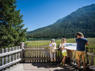
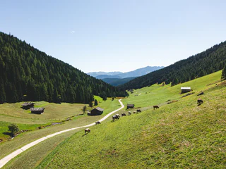
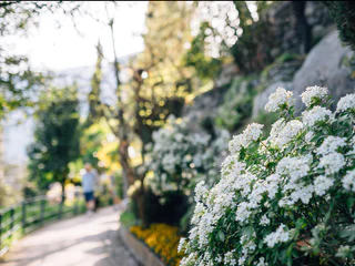
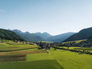
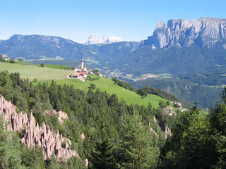
On the "Unterer Wiesenweg" from Prissiano to Tesimo
Prissiano/Prissian, Tisens/Tesimo, Meran/Merano and environs
easy
Poziom trudności
38 m
Wzlot
0h:25 min
czas trwania
Przeżyj Południowy Tyrol razem ze swoim psem. Te szlaki i miejsca wycieczkowe oferują Tobie i Twojemu czworonożnemu przyjacielowi niezapomniane przygody w zapierającej dech w piersiach przyrodzie Południowego Tyrolu.
Prissiano/Prissian, Tisens/Tesimo, Meran/Merano and environs
easy
Poziom trudności
38 m
Wzlot
0h:25 min
czas trwania
1/2
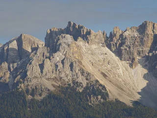
Gandelle-Franadega-Fienili/Kandellen-Frondeigen-Stadlern, Toblach/Dobbiaco, Dolomites Region 3 Zinnen
easy
Poziom trudności
61 m
Wzlot
2h:30 min
czas trwania
1/11
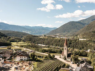
Parcines/Partschins, Partschins/Parcines, Meran/Merano and environs
easy
Poziom trudności
118 m
Wzlot
0h:58 min
czas trwania
Merano/Meran, Meran/Merano, Meran/Merano and environs
easy
Poziom trudności
109 m
Wzlot
0h:55 min
czas trwania
1/2
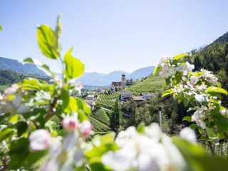
Prissiano/Prissian, Tisens/Tesimo, Meran/Merano and environs
easy
Poziom trudności
59 m
Wzlot
0h:43 min
czas trwania
1/2
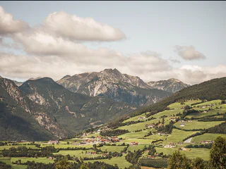
Prissiano/Prissian, Tisens/Tesimo, Meran/Merano and environs
medium
Poziom trudności
377 m
Wzlot
2h:22 min
czas trwania
1/3
Maranza/Meransen, Mühlbach/Rio di Pusteria, Brixen/Bressanone and environs
easy
Poziom trudności
253 m
Wzlot
1h:40 min
czas trwania
Fleres/Pflersch, Brenner/Brennero, Sterzing/Vipiteno and environs
easy
Poziom trudności
93 m
Wzlot
0h:21 min
czas trwania
1/5
S. Giacomo/St. Jakob - Val di Vizze/Pfitsch, Pfitsch/Val di Vizze, Sterzing/Vipiteno and environs
easy
Poziom trudności
38 m
Wzlot
0h:25 min
czas trwania
1/2
Gandelle-Franadega-Fienili/Kandellen-Frondeigen-Stadlern, Toblach/Dobbiaco, Dolomites Region 3 Zinnen
easy
Poziom trudności
220 m
Wzlot
3h:00 min
czas trwania
1/2
Nova Levante/Welschnofen, Welschnofen/Nova Levante, Dolomites Region Eggental
easy
Poziom trudności
0 m
Wzlot
0h:27 min
czas trwania
Kematen/Caminata di Tures, Sand in Taufers/Campo Tures, Ahrntal/Valle Aurina
easy
Poziom trudności
162 m
Wzlot
1h:00 min
czas trwania
1/2
Tirolo/Tirol, Tirol/Tirolo, Meran/Merano and environs
easy
Poziom trudności
232 m
Wzlot
2h:06 min
czas trwania
1/3
Merano/Meran, Meran/Merano, Meran/Merano and environs
easy
Poziom trudności
17 m
Wzlot
0h:10 min
czas trwania
Mühlen in Taufers/Molini di Tures, Sand in Taufers/Campo Tures, Ahrntal/Valle Aurina
easy
Poziom trudności
197 m
Wzlot
1h:00 min
czas trwania
1/6
Montefontana/Tomberg, Kastelbell-Tschars/Castelbello-Ciardes, Vinschgau/Val Venosta
easy
Poziom trudności
132 m
Wzlot
0h:30 min
czas trwania
1/8
Montesole/Sonnenberg - Parcines/Partschins, Partschins/Parcines, Meran/Merano and environs
easy
Poziom trudności
155 m
Wzlot
2h:04 min
czas trwania
Bressanone città/Brixen Stadt, Brixen/Bressanone, Brixen/Bressanone and environs
easy
Poziom trudności
41 m
Wzlot
1h:49 min
czas trwania

1/3
Rasa/Raas, Natz-Schabs/Naz-Sciaves, Brixen/Bressanone and environs
easy
Poziom trudności
40 m
Wzlot
0h:40 min
czas trwania
Mühlwald/Selva die Molini, Mühlwald/Selva dei Molini, Ahrntal/Valle Aurina
easy
Poziom trudności
3 m
Wzlot
0h:30 min
czas trwania
Nova Ponente Centro/Deutschnofen Dorf, Deutschnofen/Nova Ponente, Dolomites Region Eggental
easy
Poziom trudności
514 m
Wzlot
4h:02 min
czas trwania
1/3
Nova Ponente Centro/Deutschnofen Dorf, Deutschnofen/Nova Ponente, Dolomites Region Eggental
easy
Poziom trudności
99 m
Wzlot
2h:30 min
czas trwania
Braies di Fuori/Ausserprags, Prags/Braies, Dolomites Region 3 Zinnen
easy
Poziom trudności
118 m
Wzlot
1h:00 min
czas trwania
1/4
Nove Case/Neunhäusern, Rasen-Antholz/Rasun Anterselva, Dolomites Region Kronplatz/Plan de Corones
easy
Poziom trudności
20 m
Wzlot
1h:03 min
czas trwania
1/2
Aica/Aicha, Natz-Schabs/Naz-Sciaves, Brixen/Bressanone and environs
easy
Poziom trudności
89 m
Wzlot
0h:45 min
czas trwania
1/6
Rablà/Rabland, Partschins/Parcines, Meran/Merano and environs
easy
Poziom trudności
40 m
Wzlot
1h:00 min
czas trwania
Selva/Sëlva/Wolkenstein/Sëlva, Sëlva/Selva di Val Gardena, Dolomites Region Val Gardena
easy
Poziom trudności
21 m
Wzlot
0h:31 min
czas trwania
1/4
Collalbo/Klobenstein, Ritten/Renon, Bolzano/Bozen and environs
easy
Poziom trudności
0 m
Wzlot
1h:19 min
czas trwania
1/6
Magdfeld/Magdfeld, Riffian/Rifiano, Meran/Merano and environs
easy
Poziom trudności
69 m
Wzlot
1h:15 min
czas trwania
1/3
Valles/Vals, Mühlbach/Rio di Pusteria, Brixen/Bressanone and environs
medium
Poziom trudności
519 m
Wzlot
2h:30 min
czas trwania
Dziękujemy za zapisanie się!
Subskrypcja jest już aktywna
Potwierdź rejestrację
Aby zakończyć rejestrację, otwórz e-mail, który właśnie wysłaliśmy, i kliknij link potwierdzający.
Nie widzisz wiadomości? Sprawdź folder spam.
Zauważyliśmy, że próbowałeś(-aś) zapisać się do newslettera, ale Twój adres e-mail jest już zarejestrowany. Nadal będziesz otrzymywać nasze oferty, wskazówki i inspiracje na Twój urlop.
Już próbowałeś zapisać się do naszego newslettera, ale nie potwierdziłeś rejestracji. Właśnie wysłaliśmy ci ponownie e‑mail. Sprawdź swoją skrzynkę odbiorczą i folder ze spamem i potwierdź teraz.


