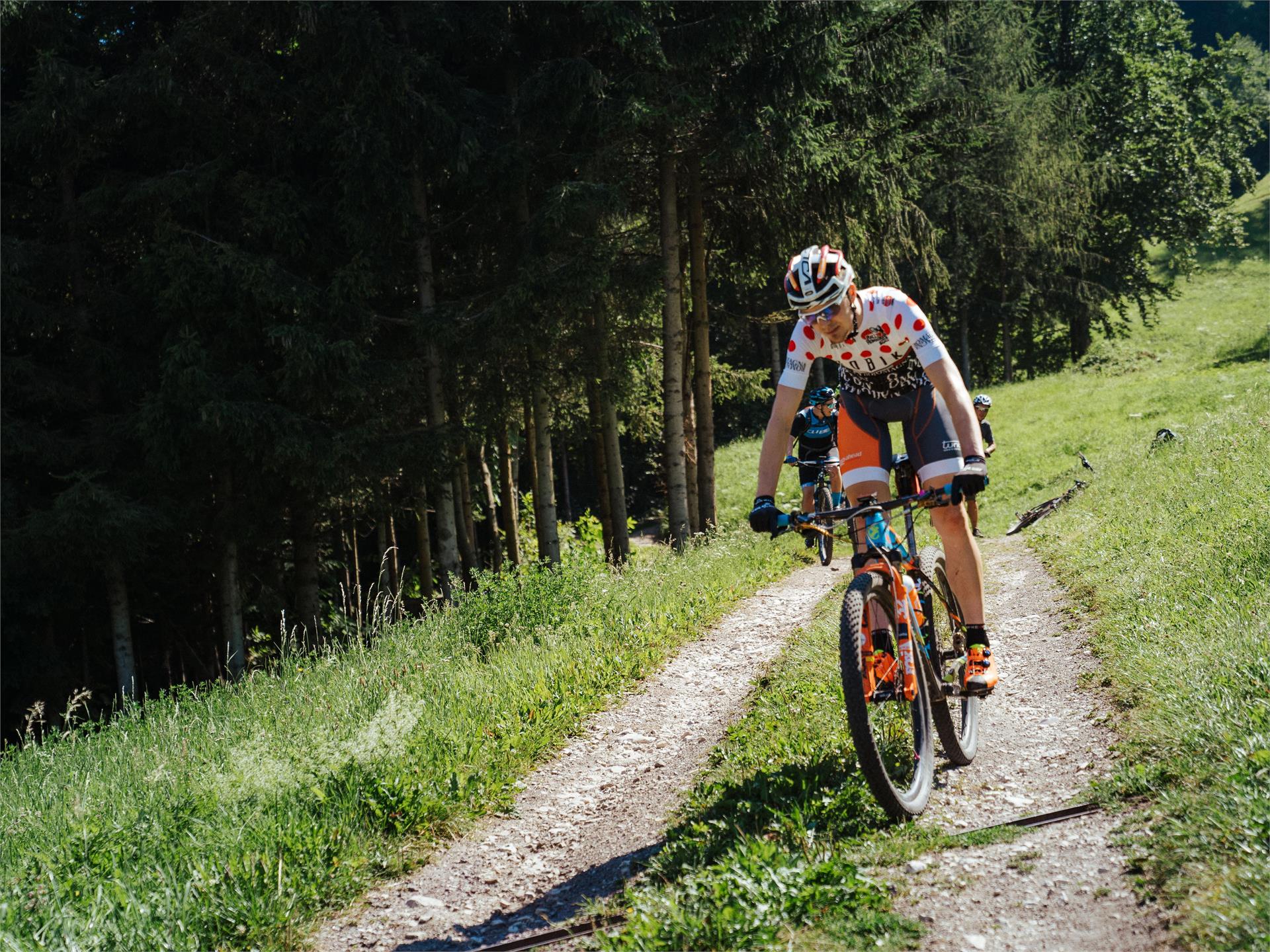
Mountain bike
Bruneck/Brunico, Dolomites Region Kronplatz/Plan de Corones
On the Pustertal cycling route from the Antholz Valley to Bruneck.
Embark on thrilling bike tours in South Tyrol, pedaling through enchanting vineyards, picturesque valleys, and majestic mountains. Uncover breathtaking scenery, conquer challenging trails, and savor the region's rich culture and gastronomy. An unforgettable adventure for every cycling enthusiast!
On the Pustertal cycling route from the Antholz Valley to Bruneck.
Along the Pustertal cycling route to Welsberg / Monguelfo.
From Niederrasen along the river to Antholz Niedertal > continue through the village Antholz Mittertal > along the main road up to the Lake Antholz.
From the train station Mühlbach direction Aicha. From the parking lot opposite hotel "Sonneck" at Schabs the road does not lead steeply, but nevertheless well rising up to the village Spinges at the entrance of the Valser valley. But we do not drive directly into the village, but at the junction straight on up to the recreation area Bunker (parking and end of the asphalt road). The here starting forest path No. 9 to Anratterhütte in the Valser valley (towards mountain station Jochtal) it has sometimes in itself: Some steep passages require muscle power, and without good condition is sometimes synonymous pushes. Every now and then there is also recovery in the downhill. We follow the same path for a short distance, following the forest road to the Nockalm at the first intersection. At the next intersection, we keep left and continue downhill to "Valsegg" below Vals. If we stay on the forest road, we reach directly the Valser road, which we drive along a piece. Almost one kilometer after the "Badwirt", at the "Old Picture", the old Valser Straße starts to Mühlbach
From Niederrasen to Oberrasen (culture house) > along the river > after approx. 1 km turn right on a country lane > further on northwards to the biotope (the moor area - an integral natural reserve with nature trail). This hike can also be started from Antholz Niedertal or Antholz Mittertal!
The route leads from Marlengo/Marling via Lana and Nalles/Nals to Andriano/Andrian. Change to the Etschtal Cycle Path, which leads to Bolzano/Bozen. One of the most ‘castle rich’ regions in all of Europe begins south of Merano/Meran. Worth mentioning are Hocheppan Castle in Missiano/Missian, Appiano/Eppan, Maultasch Castle (Burg Maultasch) near Terlano/Terlan and Sigmundskron Castle (Schloss Sigmundskron) near Firmiano/Firmian, Bolzano.
The route leads along the western edge of South Tyrol's capital city Bolzano (the best way to enter is to follow the Eisack river). The villages south of Bolzano have been historically strongly shaped by the navigable Etsch river. Of particular historical importance are the medieval village of Egna/Neumarkt with South Tyrol’s only proven Roman staging post, Endidae, and Salorno/Salurn, located on the language border at the Salurner Klause, the name of this narrow valley section.
The South Tyrolean portion of the Via Claudia Augusta, leading to Ostiglia near Verona or Quarto d’Altino near Venice, ends at Salorno.
Tip: interactive Via Claudia Augusta route planner available online at www.viaclaudia.org
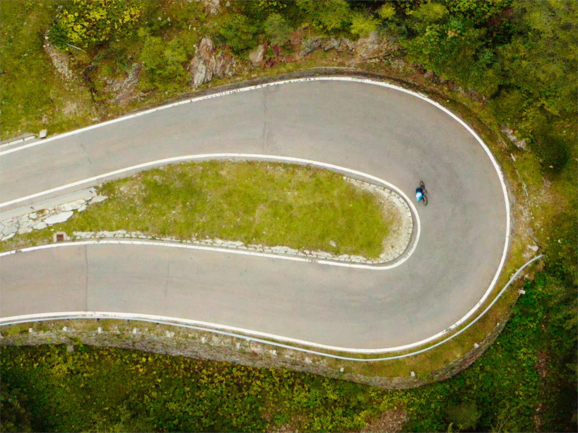
This bike route through the Isarco Valley is a pleasure tour that offers idyllic scenery. Rolling hills, small towns and cultural treasures line this well-marked bike route, which leads from Brennero to South Tyrol’s capital city of Bolzano. The Brennero/Brenner–Bolzano/Bozen Bike Route starts at the Brenner Pass and runs along the former railway line, which is at a slight downhill grade, to Vipiteno/Sterzing. The marked bike path then continues, partly flat and with a light ascent, through picturesque villages and small hamlets up to Franzensfeste Fortress, past Lake Vahrn, and along the Kastanienweg (Chestnut) Trail towards Novacella/Neustift Abbey and then continuing on towards Bressanone/Brixen. The section from Bressanone to Bolzano is again a brisk ride through the narrow Isarco Valley, with a stopover in the little artists’ town of Chiusa/Klausen, known for its imposing hilltop Säben Abbey. From there, the route continues to the capital city of Bolzano. The Brennero/Brenner–Bolzano/Bozen Bike Route runs a total length of 96 kilometers from Brennero to Bolzano.
From the Antholz Valley to Niederolang and further on to Mitterolang.
Pleasant bike ride to Schmieden/Ferrara in Prags/Braies. You start your bike tour in Niederdorf/Villabassa. First you follow the bike path in the direction of Welsberg/Monguelfo for about 3km. Now it goes along the Pragser Bach river. You reach the village of Schmiedern/Ferrara.
From 07/10/ - 09/10/ the Braies Valley will be traffic calmed. It is possible to continue driving to the Pragser Wildsee during this period of time. Also suitable for e-bikes.
The easy itinerary starts in the centre of Anterivo. First, it goes downhill following the village road to the sawmill. A slight incline brings us near the Passo Cisa and continues until it reaches the Masi Pausa and the Malghette. A pleasant descent followed by a short climb to the Ebner Rast concludes the itinerary to the starting Point in the centre of Anterivo.
Possible restaurant stops: Le Malghette
The classic of the Val d'Ega, the Latemar Ronda offers breathtaking panoramic views of the Dolomite mountains and is a dream tour for all those who want to get very close to the Latemar by mountain bike. Clockwise, the Latemar massif can easily be mastered by mountain bike beginners as well as families during a full-day tour without any major climbs. The starting point of this unique scenic tour can be the villages of Welschnofen/Nova Levante, Karersee/Carezza or Obereggen.
On the Pustertal cycling path to Toblach and ahead in direction Cortina till the View of the 3 Peaks.
Along the Pustertal valley cycling route to Toblach and ahead in direction Cortina till the lake Toblach.
The bike trail goes trough the wine villages Eppan, Kaltern, Tramin and Kurtatsch up to the country frontier at Salurn on traffic-calmed streets. The tour is appropriate for all kinds of bycicles, but is the most fun to ride on e-bikes or racing bikes.
The route starts at Eppan and leads on the cycle path and the lake loop road to the Kalterer lake and onwards to Tramin. Towards the village you’ll find a rise. Take it and follow the Weinstraße until you reach Margreid and Kurtinig. In all of those villages you’ll find plenty of possibilities to stop for a bite to eat.
Arriving at Salurn, change the downhill side and follow the hillslope until you come to Laag. From there you can take the cycle path along the Etsch in a northward direction up until the spot where the rivers Etsch and Eisack are meeting. There you turn left and follow the old railway track of the Überetscher railway until the initial point in Eppan.
Cross Country Tour around the landmark of Schluderns: the Churburg, one of the best preserved castles in South Tyrol
You start your bike tour in Niederdorf/Villabassa. Along the Platari you get to Welsberg/Monguelfo. There you follow the cycle path past the Valdaora reservoir to Rasen/Rasun. From Rasen/Rasun to Antholz Niedertal valley you will only find a very small difference in altitude. You will pass Antholz Mittertal vally and Antholz Obertal Vally. Your destination is the Anholzer See lake at 1,640m. Also suitable for e-bikes.
On the Pustertal cycling route from the Antholz Valley to Bruneck and then in direction Ahnrtal to Sand in Taufers to the starting point of the waterfalls Reinbach. From there you can visit the waterfalls on foot.
From the Antholz Valley to the Furkelpass/Passo Furcia (Altitude difference: 728 m | Lenght: 10,2 km)
Along the Pustertal cycling route to Innichen / San Candido.
The Pustertal Valley Bike Route is particularly suitable for bicycle tours and family cycling tours, not only for beginners but also for experts. The paved bike path starts in Rio Pusteria-Mühlbach and leads via the villages of Vandoies di Sotto-Niedervintl, Vandoies di Sopra-Obervintl, Chienes-Kiens, Casteldarne-Ehrenburg and S. Lorenzo-St. Lorenzen to Brunico-Bruneck. This first section is very flat and 25.5 km long.
From Brunico, it takes about Perca-Percha, Valdaora di Sotto-Niederolang, Valdaora di Mezzo-Mitterolang, Valdaora di Sopra-Oberolang, Ried, Villabassa-Niederdorf and Dobbiaco-Toblach to San Candido-Innichen. This second section is again very flat, 33.5 km long, and suitable for everyone.
The third section takes us from San Candido on Versciaco-Vierschach to Prato Drava-Winnebach where you cross the Austro-Italian border. Now follow along the Drava River to Lienz. This last subsection is 44 km long, very easy, and ideal for families. For the return, we can use the train to come back to the starting point. If the total distance is too long, you can also take only a small part of the track, and the rest you can travel by train.
The southernmost ‘Wine & Bike’ route leads from the wine villages of Cortaccia/Kurtatsch and Magrè/Margreid to Cortina all’Adige/Kurtinig and Salorno/Salurn. Return via Egna/Neumarkt and Ora/Auer, the Lake Kaltern and back to Termeno/Tramin. The stretch from Salorno to Ora can be completed by train.
Antholz Valley > Oberolang > Hamlet Salla > Welsberg > Taisten > Goste > back to the Antholz Valley
Starting at the town hall square in Anterivo we drive through the village towards the Hotel Waldheim, and then we turn left towards Prà dal Manz. The route continues on easy forest trails and leads uphill until it reaches the Passo Cisa (1489m). By continuing, we arrive at the Malga Monte Corno (1710m), the highest point of the tour. We follow the pleasant declining road which brings us back to the starting point in the centre of Anterivo.
Possible Restaurant stops: Malga Monte Corno
From Niederrasen along the river to Antholz Niedertal > continue through the village Antholz Mittertal > along the main road up to the Lake Antholz > on the pass road up to the Staller Saddle.
A very varied cycling trip through the wonderful scenery of the Pustertal valley.
Characteristics: The bike tour takes you sometimes on asphalt tracks and sometimes on well-maintained gravel tracks across meadows and through woods on the left of the main Pustertal valley road to Brunico/Bruneck. You start at 1,175 m in San Candido/Innichen and end up at 800 m in Brunico. The difference in altitude of only 400 m is deceptive; there are some sections that are really tiring. However, most of the route is flat, and from Valdaora/Olang it is almost all downhill. Conveniently, you can put your bike on the train to return. For less experienced cyclists or for families with children, there is the option of travelling back by train from any of the villages on the way.
Starting points: San Candido/Innichen (35 km), Dobbiaco/Toblach (30 km), Villabassa/Niederdorf (27,5 km)
This tour is also suitable for e-bikes.
flyer & train information
If you want to enjoy great views and inform yourself about Europe’s highest granaries, then this is the right tour for you. Start at the Trattla sports and leisure center with the culturamartell visitor center and the South Tyrolean Strawberry World. During this tour, you pass different climate zones at Val Martello‘ Sun Mountain: from the strawberry fields along Martello’s valley path (no. 36) through the village of Martello and up to Europe’s highest mountain farms Premstl, Niederhof or Stallwies built on steep, irrigated slopes. Beautiful mountain farms with wooden shingle roofs accompany you on your way to Stallwies while crossing the partially extremely steep meadows of Martello’s Selva on the road. Just after Premstl at Niederhof, you can enjoy the impressive view of the Cevedale glacier and Martello’s high mountain world. After another three kilometers you reach the Stallwies inn where you turn right at the mill and continue on a beautiful forest road through Swiss pine forests until you reach the Wiesboden viewpoint and picnic area. If you want, you can explore the wooden irrigation channel path or the Mountain Farmer Trail by taking the path up or down.
Antholz Niedertal > Redensberg > Aschbach > Nasen > Antholz Valley
From the Antholz Valley along the Pustertal cycling route to the Pragser Wildsee lake.
Confirmation email has been sent. Don't you find it? Check your spam folder.