Přeskočit na obsah

přidáno k oblíbeným

odebráno z oblíbených

Jejda! Došlo k problému, zkuste to prosím znovu

Vytváří se váš účet

Váš účet byl úspěšně vytvořen a nyní jste přihlášeni

Jste úspěšně přihlášeni!

Váš účet byl úspěšně vytvořen, ale nepodařilo se nám vás automaticky přihlásit

Jste odhlášeni

Filtr
Úroveň obtížnosti
Doba trvání
Vzdálenost v km

Krásy regionu Ahrntal

Region Ahrntal vám nabízí nezapomenutelné zážitky v přírodě a bohaté kulturní dědictví. Přijďte a objevte všechny jeho krásy.
Výsledky
Summer
Winter walk - Caminata/Kematen Villa Ottone/Uttheim
Gais, Ahrntal/Valle Aurina

Dear winter hikers,
Because of their favourable location, negligible risk of avalanches and the large number of users the following hiking tips are suitable at all times.  Please be careful after heavy fresh snowfall or in extreme weather. Always: Check the avalanche status report and the weather forecast. The hiking paths are not cleared of snow.
Recommended equipment: snow and water repellent winter hiking clothing, mountain trekking shoes, warm drink, torch, spikes or trail crampons and gaiters.
Do not leave the paths. For the benefit of the wildlife that already struggles in winter, please avoid making loud noises. Unless the walks are circular walks, all descriptions are only for the outbound stretch. If you are unsure of anything, please ask your host or Tourist Information.

Obtížnost: nízká
0 m nadmořská výška
1h:13 min doba trvání
Summer
Hiking tour to the waterfall Frankbach
Ahrntal/Valle Aurina, Ahrntal/Valle Aurina

Marvel the impressive spectacle of the Frankbach waterfall above St. Johann/San Giovanni. Feel the cooling freshness on your skin, breathe in the pleasant fresh air and admire the colorful light reflections when the sun shines.

Obtížnost: nízká
247 m nadmořská výška
1h:13 min doba trvání
Summer
Hiking tour to the eerie holes - "Antrische Löcher" Luttach/Lutago
Ahrntal/Valle Aurina, Ahrntal/Valle Aurina
"Antrische Löcher" eerie holes are ancient test tunnels from the time of the copper mine in Prettau/Predoi, which can be found in various places in the Ahrntal valley. In the imagination of many people, there lived the so-called "Antrischen" - small people who dug in the mountains for treasures and precious stones.
Obtížnost: nízká
171 m nadmořská výška
0h:57 min doba trvání
Mountaineering
Hut to hut hiking: High Altitude Trail Aurina
Ahrntal/Valle Aurina, Ahrntal/Valle Aurina

 CIRCULAR ROUTE IN THE AHRNTAL MOUNTAINS AND THE RIESERFERNER GROUP

Route: St. Georgen/Bruneck - Tiefrastenhütte - Edelrauthütte - Chemnitzerhütte - Schwarzensteinhütte - Holzerbödenalm - Waldneralm - Kasern - Durraalm - Kasselerhütte - Rieserfernerhütte - Lercheralm - Bruneck

9 days - 8 overnight stays

The mountain tour is categorised as difficult and offers unforgettable moments. Sure-footedness, very good physical condition, a great deal of experience (= high mountain experience) and good equipment are required. 

The Ahrner high trail offers great scenic variety and mountaineering challenges with its multi-day high-altitude tour through the Pustertal, the Pfunderer mountains, the Ahrntal and the Rieserferner group.

You can find more accommodation in the villages here: www.ahrntal.com 

Publisher: Club Alpino Italiano Section Bruneck, APS, Alte Straße 6/39031 Bruneck, www.caibrunico.it

Map: Kompass hiking map "Ahrntaler Berge" no. 16, scale 1:25,000

Obtížnost: vysoká
11010 m nadmořská výška
60h:30 min doba trvání
Mountaineering
Long-distance trek on the sunny side of the Zillertal Alps - from Sterzing to the Birnlückenhütte
Sterzing/Vipiteno, Ahrntal/Valle Aurina

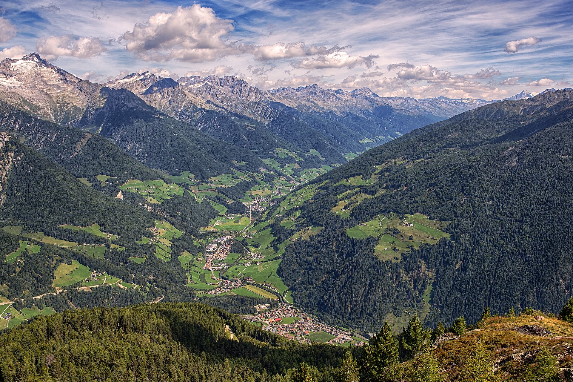
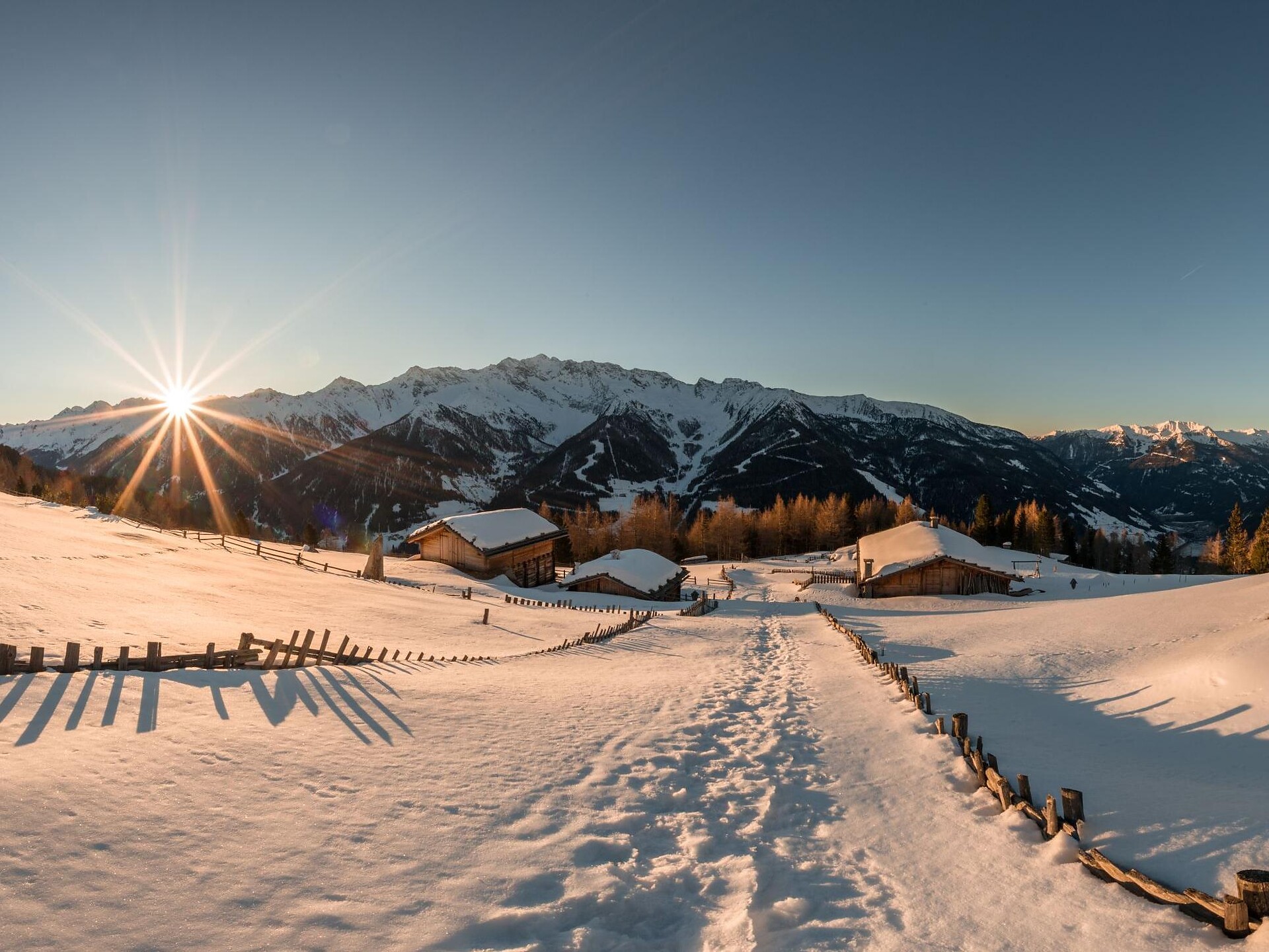
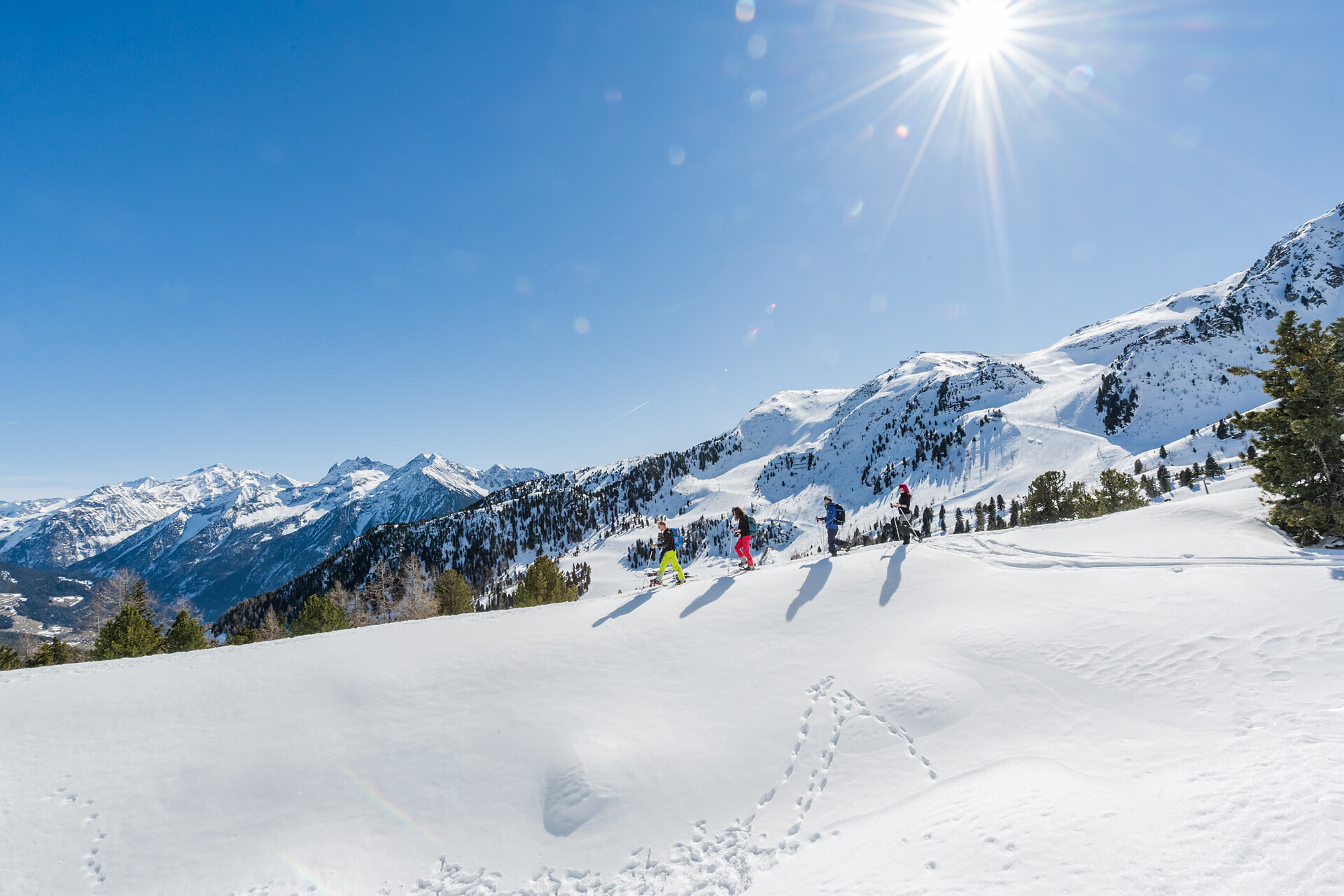
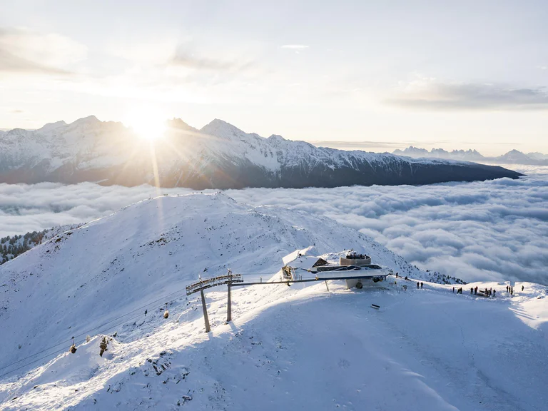
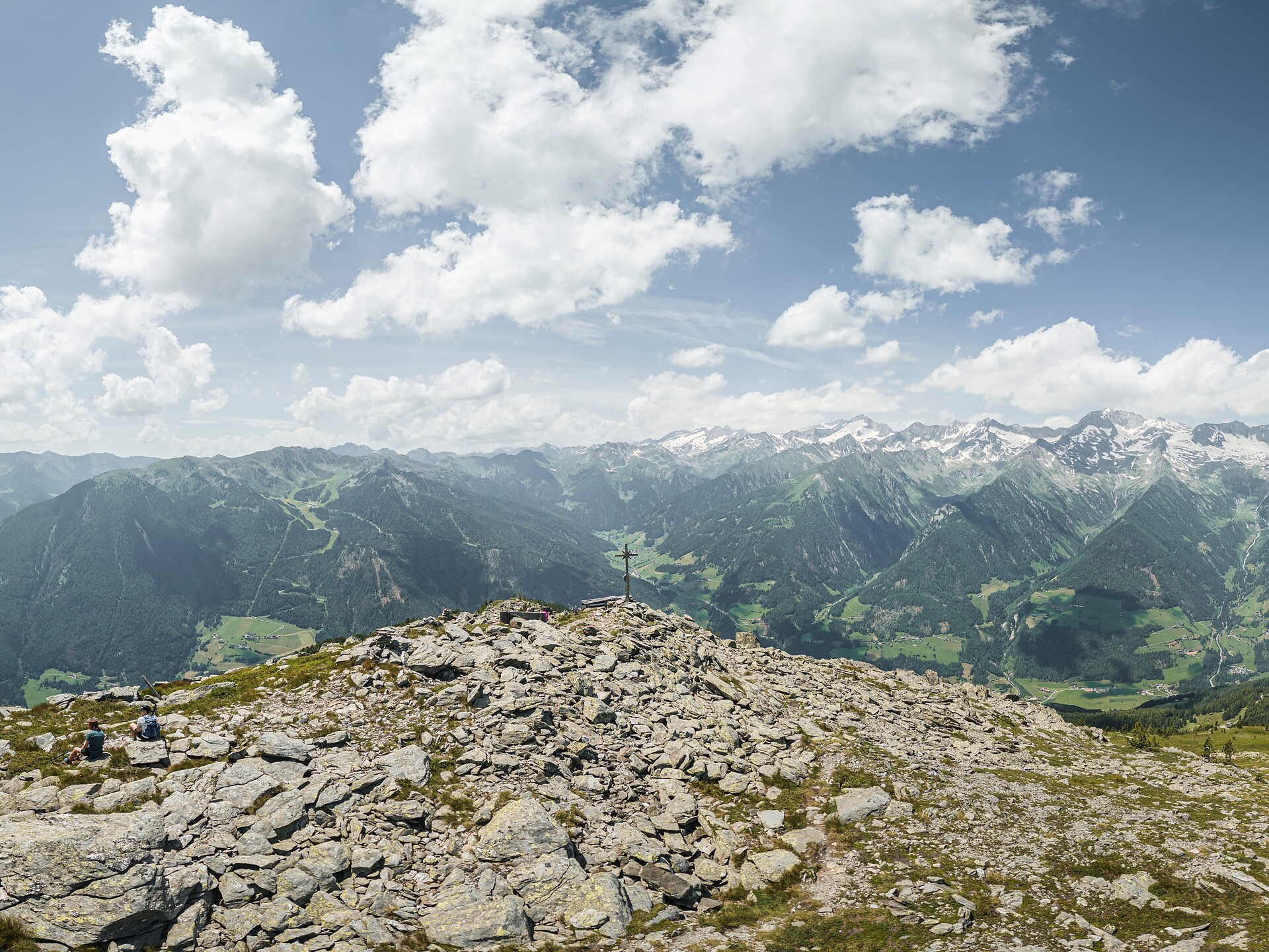
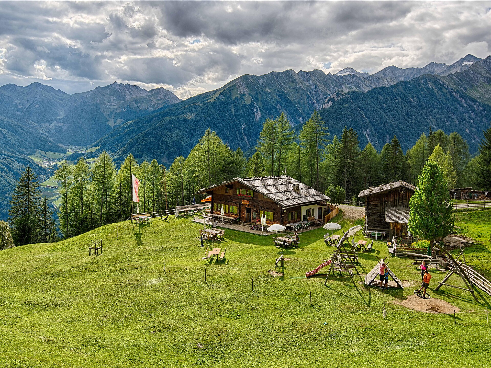
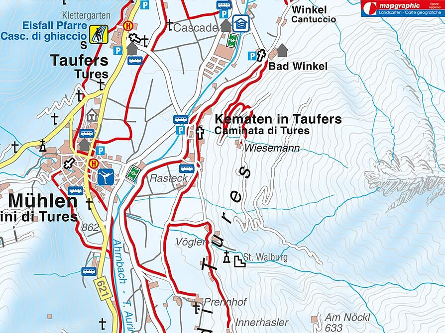
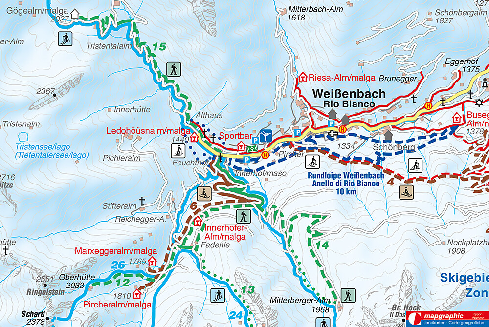
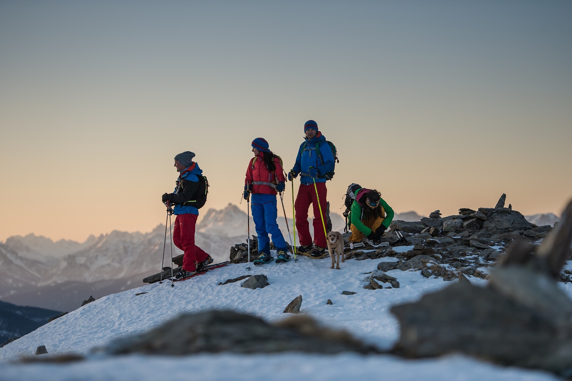
Day 1: From Sterzing railway station, take the bus to the hamlet of Platz. The hike then leads along a serpentine path, first through forest and then through open terrain over a mountain ridge and finally over scree to the Landshuter/Europahütte (2,693 m). Possibility to spend the night 

Day 2: The next day the hike leads along the Landshuter Höhenweg. Past the Grieplalm and the Durrnsee and through alpine pastures, the trail leads to the Pfitscher Jochstraße. After a descent on this path, the hiking trail then climbs again. After crossing a few mountain streams, the trail winds its way up to the Hochfeilerhütte (2,715 m). Possibility to stay overnight

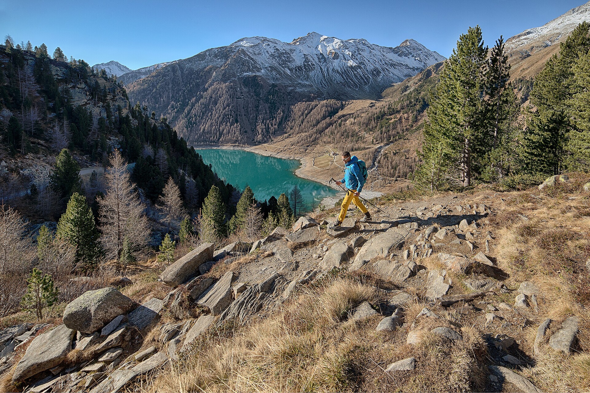
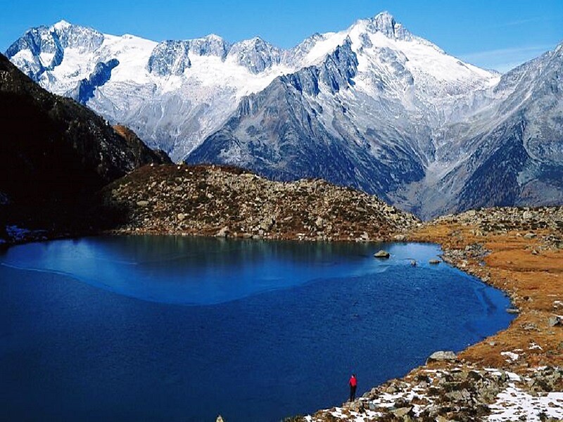
Day 3: The next day, the route is initially relatively flat until the Gliederbach valley head. Climb up to the glacier and cross it. Crampons are necessary in high summer. Subsequent ascent to the Untere Weiszintscharte (2,972 m). From there, a beautiful hiking trail down to the Edelrauthütte (2,545 m) and via the Neveser Höhenweg in the direction of the Neveser Joch. The route continues at a relatively constant altitude into the Ursprungtal valley and past the foot of the Gr. Möseler (3,479 m) to the Chemnitzer Hütte (2,420 m). Possibility to stay overnight

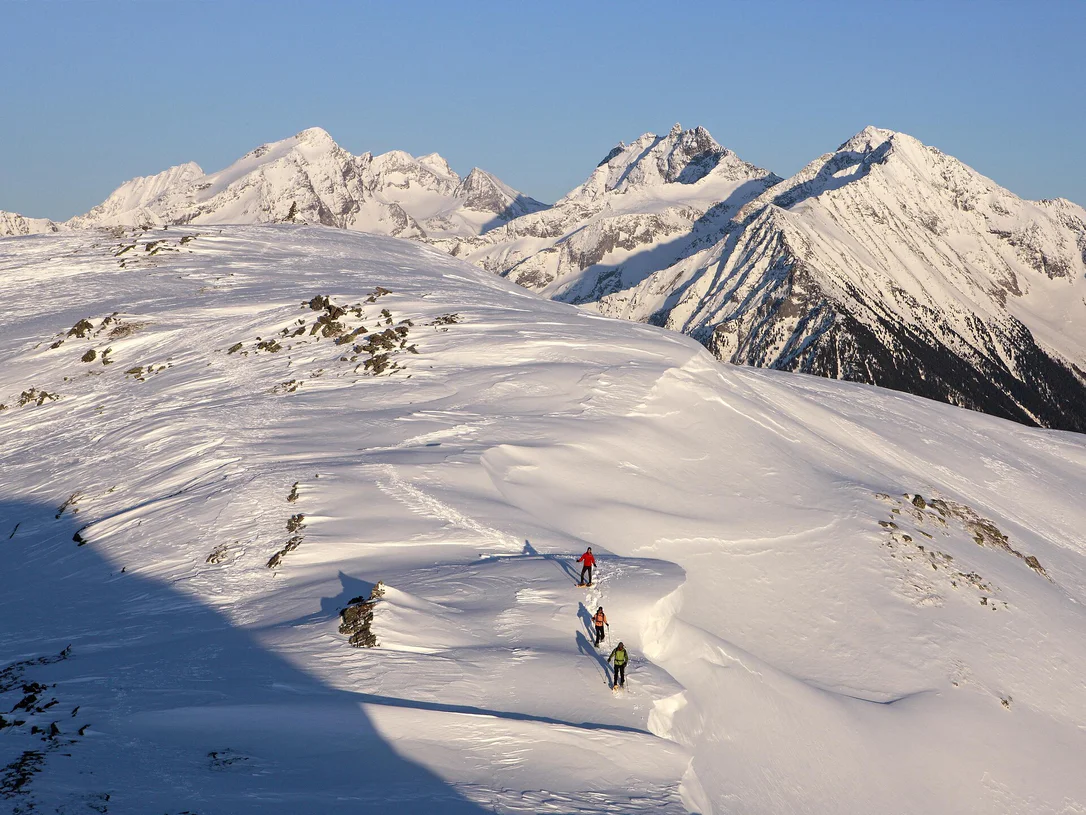
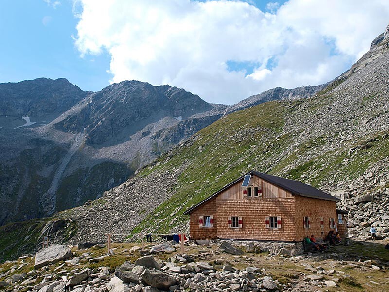
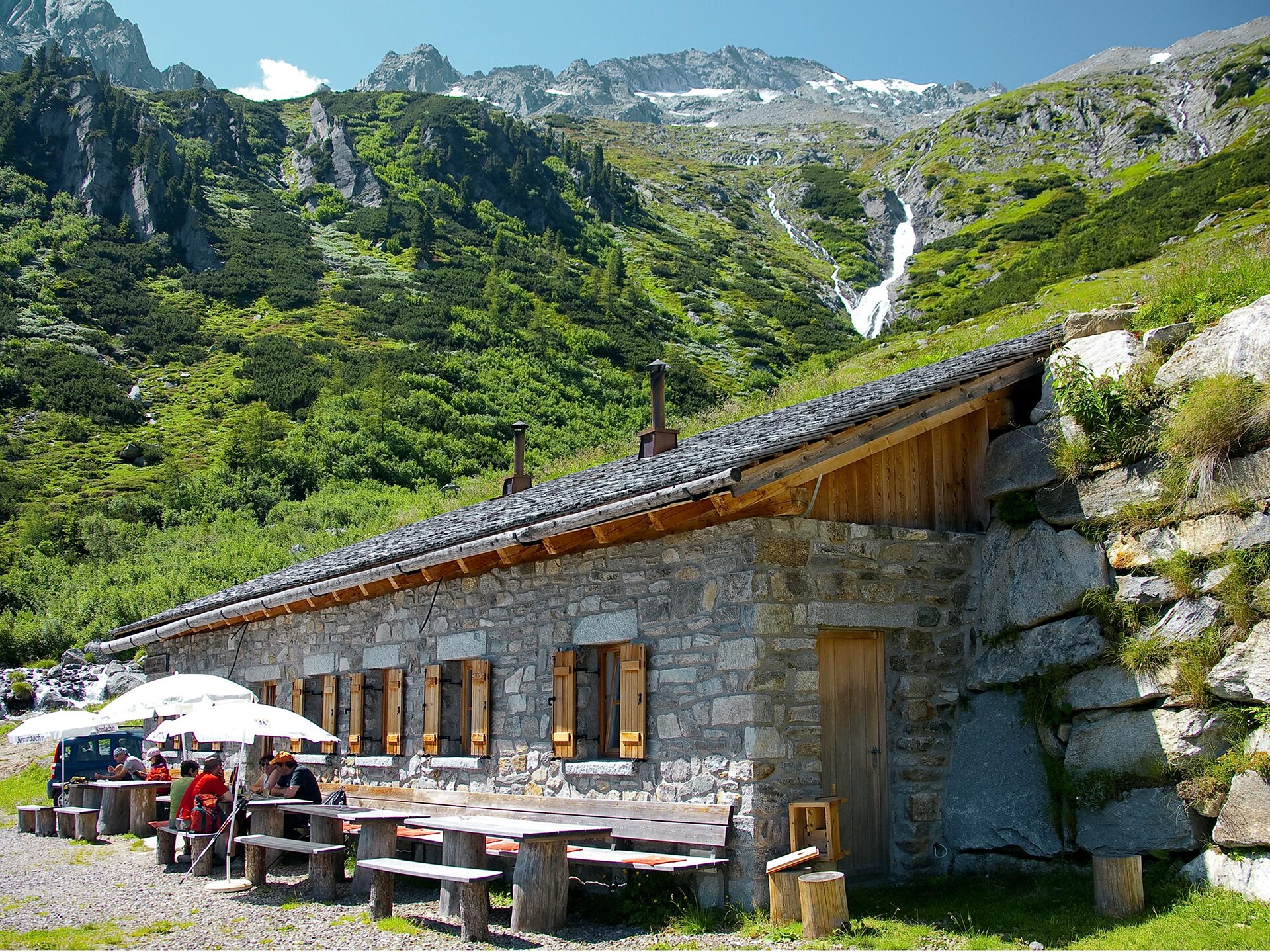
Day 4: On the following day, take the relatively narrow but safe Hans-Stabeler-Höhenweg via the Gelenkscharte and the Schwarzbachtörl to the sand moraines at the foot of the Schwarzenstein. Firstly, ascend along a beautiful hiking trail, then through snow fields and over rocky terrain to the newly built Schwarzensteinhütte (3,026 m). Possibility to spend the night

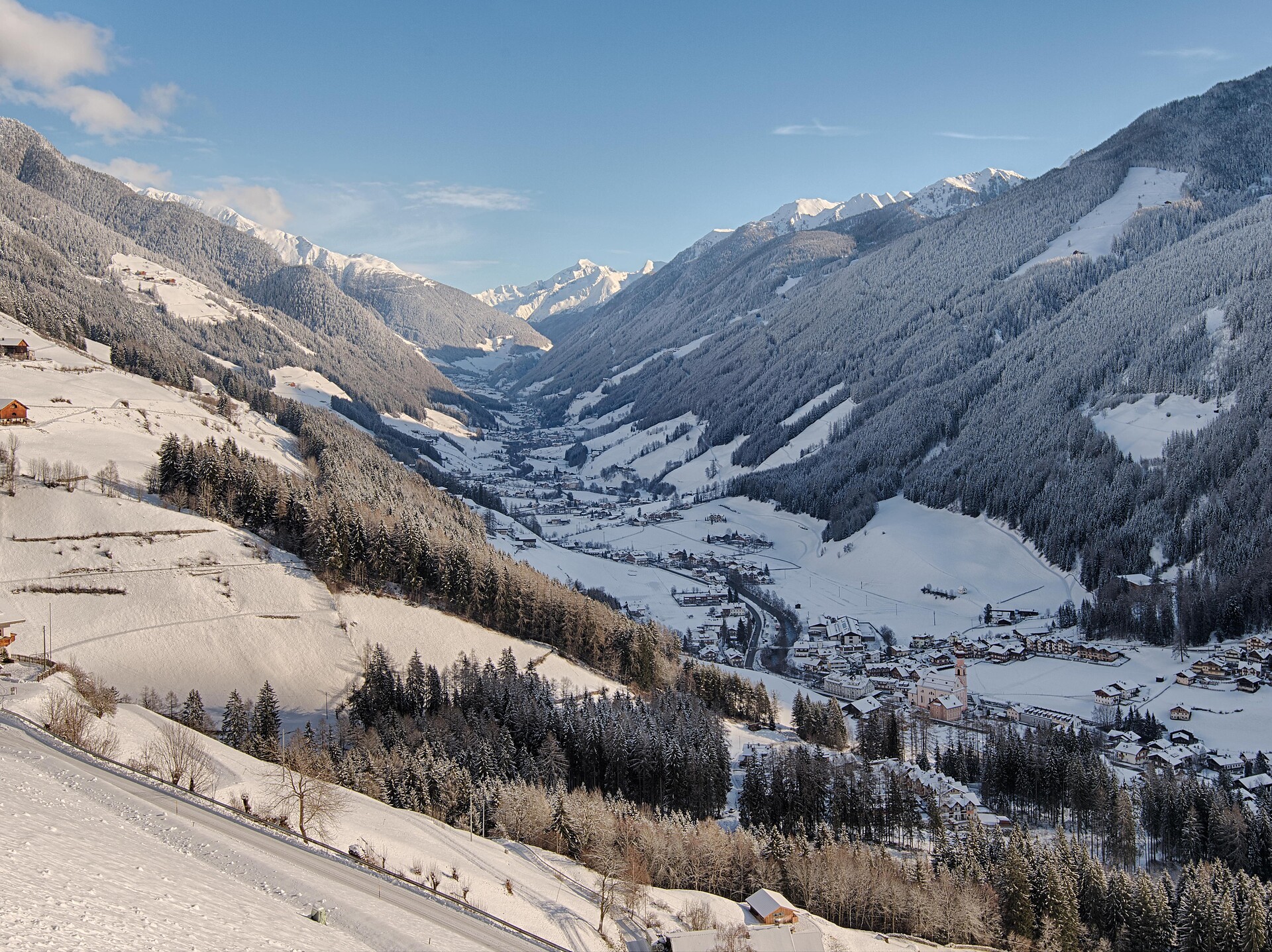
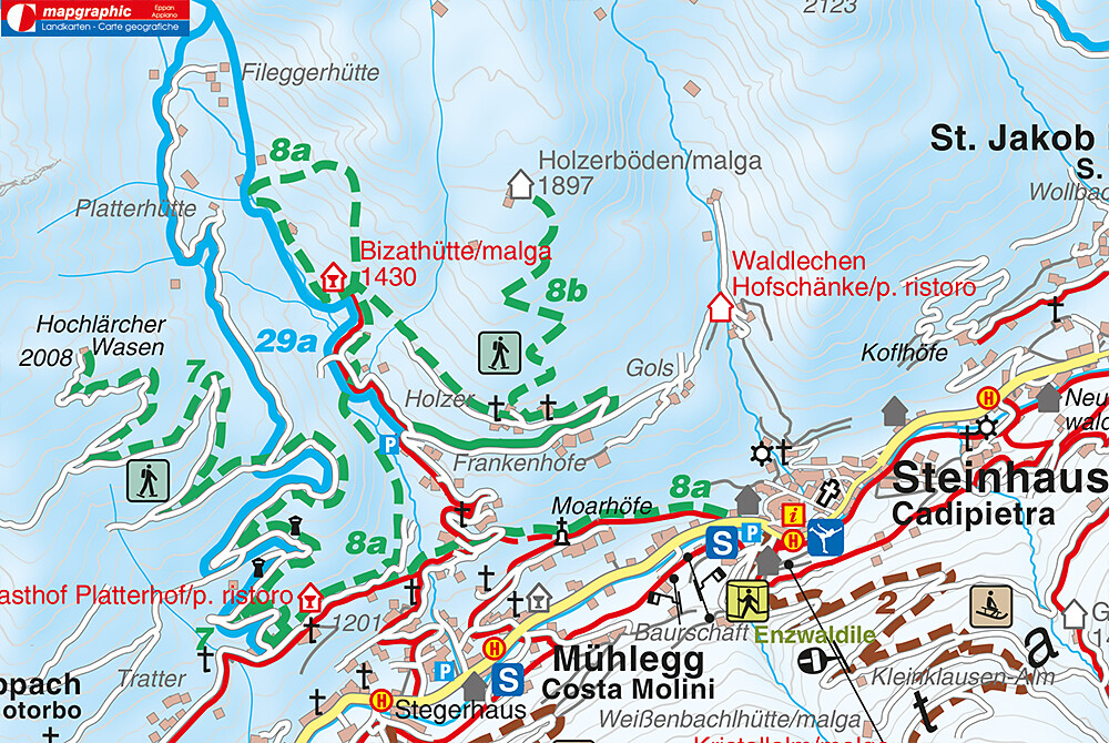
Day 5: Descent from the Schwarzensteinhütte (3,026 m) across the Große Tor into the Trippachtal valley. From the Große Tor over a moraine slope downhill to the turnoff to the Großer Löffler. Descend to the Kegelgasslalm (2,109 m). Continue the hike on the path to the Großer Löffler and then continue in the direction of Marbelfleckscharte (2,762 m). Long descent into the Frankbachtal valley to the Vileggalm (1,834 m). Continue the hike on the Hermannsteig to the Holzerbödenalm (1,900 m).  

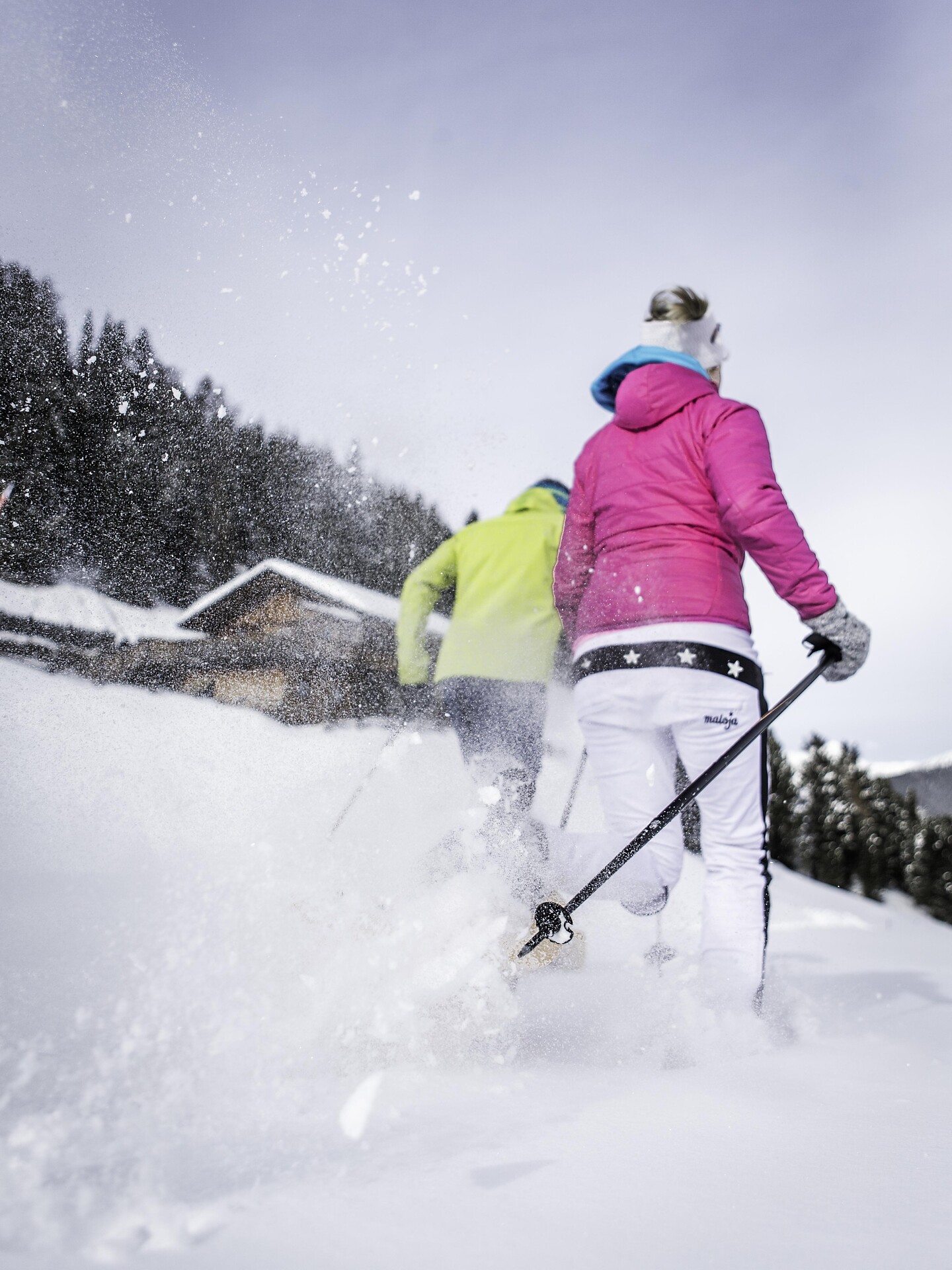
Clarify overnight accommodation options with the hut or in the village (consider additional time required for the descent and ascent)

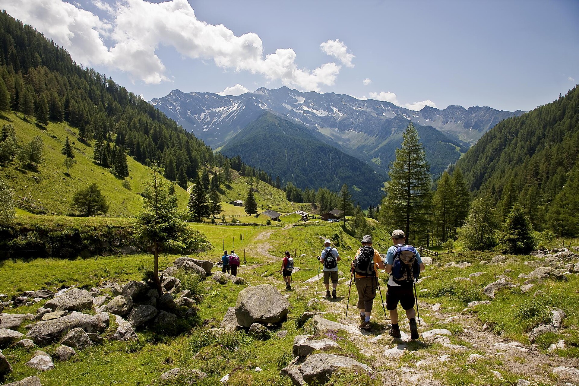
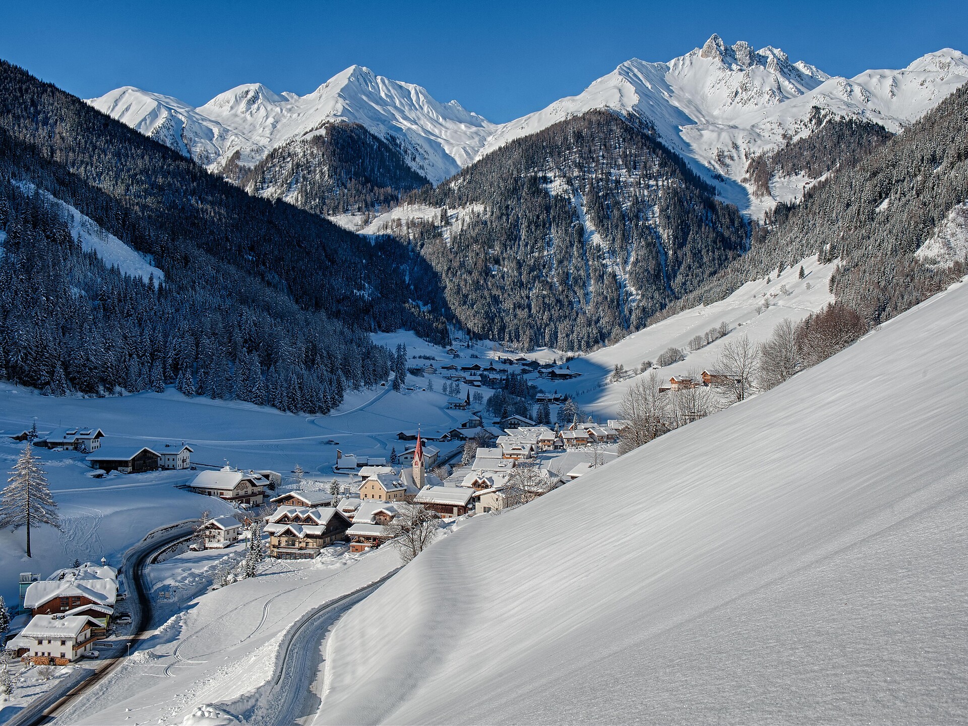
Day 6: The hike then takes us along the Almenweg into the Wollbachtal valley to the Wollbachalm (1,609 m). The path then climbs again and takes us to the Innerhütten (1,924 m). At a relatively constant altitude, the trail leads to the Hühnerspielhütten (power place). The route then continues slightly downhill to the Hollenzalm (1,844 m). The hiking trail (track) leads downhill via the Hollenztal valley to the lower mountain pastures and then climbs again as a hiking trail to reach the Steinerbachtal valley. The hike continues a track through the Walchertal valley into the Griesbachtal valley. At the Winkleralm, the hiking trail again leads us relatively steeply uphill to the Samhütten (2,011 m). We then continue over the Sam on a track to the Waldneralm (2,086 m).

Clarify overnight accommodation options with the hut or in the village (allow extra time for the descent and ascent)

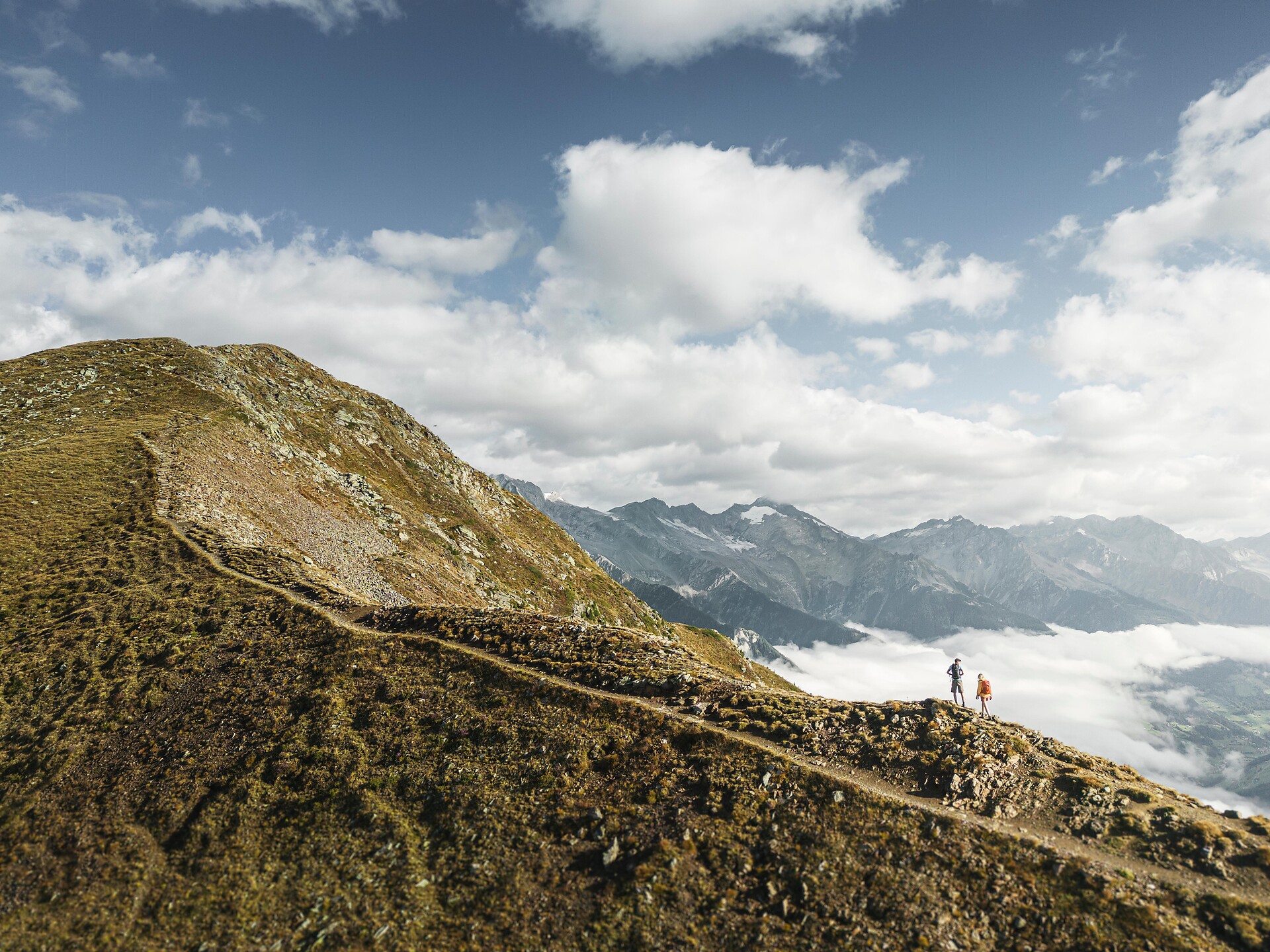
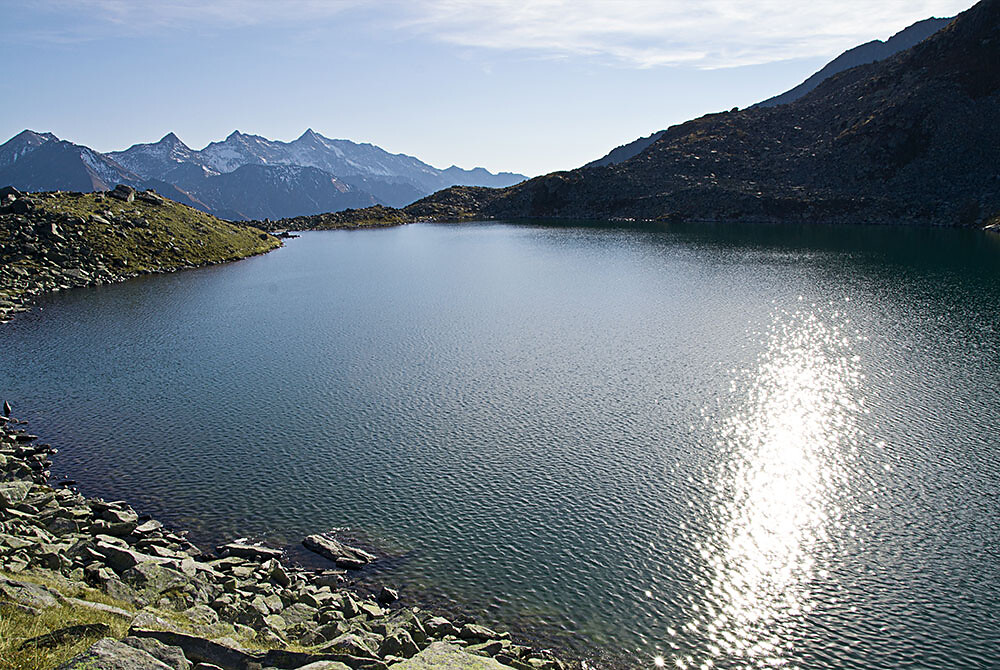
Day 7: Ascent to lake Waldnersee (2,345 m) and further ascent on the hiking trail or short connecting trail to the Lausitzer Höhenweg (2,630 m). Continue the hike at a constant altitude, crossing several small valleys and mountain ridges to the former Neugersdorfer Hütte (2,568 m). The hike continues along the border trail and finally leads to the hut Birnlückenhütte (2,441 m). Possibility to stay overnight

Day 8: On the following day, the trail descends in serpentines to the hut Lahneralm and out of the valley on a wide track to Kasern (1,595 m) to the bus connection. 

Obtížnost: vysoká
8068 m nadmořská výška
49h:15 min doba trvání
Summer
Legend Path
Sand in Taufers/Campo Tures, Ahrntal/Valle Aurina

The Tauferer Ahrntal (valley) is rich in legends. Some of these are presented on the Tauferer Valley Legend Trail. Children are drawn into an exciting world of magic, adults learn something about the mystics of Taufers. The legends are told on display boards. We hear about the little woman from Oberpurstein, about the Antrischen people, about the castle on Purstein, the treasure at Tobl and the doom of the Walburg Castle.


Obtížnost: střední
193 m nadmořská výška
2h:30 min doba trvání
Snowshoe Hikes
Snowshoe Hiking tour to the Gruberalm hut
Ahrntal/Valle Aurina, Ahrntal/Valle Aurina

Discover nature of the Ahrntal valley on puffy snow pillows. 

The snowshoe hiking tour to the Gruberalm (closed in winter) hut is a highlight for every snowshoe hiking fan.  

Walking time to the hut approx. 1½ h.

Obtížnost: střední
376 m nadmořská výška
2h:45 min doba trvání
Summer
Hike to the Ahornacher Jöchl saddle
Sand in Taufers/Campo Tures, Ahrntal/Valle Aurina

A sunny tour high up above the Tauferer valley… This sunny tour offers some spectacular views overlooking the Tauferer valley and magnificient sights of the Rieserferner mountain range and of the southern Zillertal Alps. We will pass by the socalled Schlafhäuser (sleeping houses) which used to be shelters for herdsmen. The upper Schlafhaus is a perfect location for having a rest; at the spring you can satisfy your thirst with some excellent, fresh mountain water. The best season for this tour is spring and autumn, in the summer it can be very hot.

Obtížnost: střední
937 m nadmořská výška
3h:30 min doba trvání
Summer
Hiking tour to the Sam cabins
Ahrntal/Valle Aurina, Ahrntal/Valle Aurina

Round-trip tour from the Sam to the Griesbach valley… The Sam cabins are truly picturesque, and from there you can marvel at the panorama of the entire Ahrntal valley, from the mighty High Tauern mountains to Luttach/Lutago at the beginning of the valley. In comparison to other hiking areas, this territory is not overrun with people and even during the high season you can enjoy a hike in silence and solitude. The round-trip walk to the Sam cabins and to the Griesbach valley can be done without using your car, you can use the public bus transport instead.

Obtížnost: střední
948 m nadmořská výška
3h:46 min doba trvání
Snowshoe Hikes
Snowshoe Hiking tour to the Holzerböden hut
Ahrntal/Valle Aurina, Ahrntal/Valle Aurina

Feel the silence in the forest and discover the nature of the Ahrntal valley on puffy snow pillows. 

The snowshoe hiking tour to the Holzerböden hut (closed in Winter) is not difficult. Enjoy the stunning view of the whole valley. 

Walking time to the hut approx. 2 1/4 h. 

Obtížnost: střední
427 m nadmořská výška
3h:30 min doba trvání
Summer
Walk path Bacher valley (Rein in Taufers/Riva di Tures)
Sand in Taufers/Campo Tures, Ahrntal/Valle Aurina

Rein is one of the most oldest villages in the Tauferer Valley. The beautiful high valley is encircled by the three thousand meter peaks of the Rieserferner mountains, from which the Hochgall proudly sticks out. Rein lies in the heart of the Rieserferner Ahrn Nature Park.

Obtížnost: nízká
50 m nadmořská výška
1h:30 min doba trvání
Snowshoe Hikes
Snowshoe Hiking tour to the Bizathütte hut
Ahrntal/Valle Aurina, Ahrntal/Valle Aurina

Feel the silence and discover the nature of the Ahrntal valley on puffy snow pillows.

Easy snowshoe hiking tour through the Alps of the Zillertal in South Tyrol: the tour from Steinhaus/Cadipietra to the Bizat hut is perfect for beginners.
Without many difference in altitude, you pass the winter landscape of the valley until the hut.Gehzeit bis zur Hütte ungefähr 2 Stunden und 15 Minuten.
Walking time to the hut approx. 1 1/4 hours. 

> Bizathütte hut

Obtížnost: nízká
380 m nadmořská výška
2h:15 min doba trvání
Mountaineering
Hut to hut hiking: The smugglers' trail Ahrntal valley
Prettau/Predoi, Ahrntal/Valle Aurina

A ROUTE ON HISTORICAL PATHS FROM THE AHRNTAL VALLEY IN SOUTH TYROL TO MAYRHOFEN IN TYROL AND BACK AGAIN

Route: Steinhaus/Cadipietra - Kasern/Casere - Plauener Hütte - Mayrhofen - Kasseler Hütte - Steinhaus/Cadipietra

5 days - 4 nights

The mountain tour is classified as moderately difficult - difficult and offers unforgettable moments. Sure-footedness, good physical condition, experience and good equipment are required.


The yoke crossings are known as the old paths of smugglers between the Ahrntal valley and Austria. Especially the Keilbachjoch. This prompted the Kassel section of the German Alpine Club and Martin Gamper, hut keeper of the Kasseler Hütte, to call this tour "Ahrntaler smuggler paths".

Obtížnost: vysoká
4800 m nadmořská výška
30h:00 min doba trvání
Snowshoe Hikes
Snowshoe hike | Kleiner Nock
Sand in Taufers/Campo Tures, Ahrntal/Valle Aurina
Medium-difficulty snowshoe hike away from the slopes in the middle of nature at over 2,000m at Speikboden. Thanks to the Speikboden cable car, you already overcome 1,000 meters in altitude and thus comfortably reach the starting point of this tour. Continue straight on past the Speikboden mountain restaurant and follow hiking trail no. 18a until you reach the summit cross after about 2 hours. The hike offers a magnificent view of the Zillertal Alps, the Durreck Group and the Ahrntal Valley.
Obtížnost: střední
260 m nadmořská výška
2h:30 min doba trvání
Snowshoe Hikes
Local mountain Speikboden with snowshoes
Sand in Taufers/Campo Tures, Ahrntal/Valle Aurina

At the Speikboden ski area, it is also possible to undertake a variety of tours on snowshoes. Taking into account the weather and avalanche conditions, the Speikboden ski area is excellently suited for snowshoe tours. It goes without saying that in so doing, the marked ski runs should be avoided so as not to disturb the traffic on the slopes.  The ski lift facilities can be used for ascending, descending, or both.

Guide: ski school Speikboden; equipment: ski rentals

Obtížnost: nízká
207 m nadmořská výška
1h:10 min doba trvání
Summer
Alpine vegetation
Sand in Taufers/Campo Tures, Ahrntal/Valle Aurina

Ascending the mountain, the hike leads you to the so-called Schlafhäuser (sleeping houses), which the farmers used as shelters and for cooking when the hay was harvested. The route continues high above the Reintal valley, crossing the southern slope of the Mosstock peak. Dwarf shrub heathland, marvellous pines and characteristic highland moors can be found along the way. Blooming alpine flowers invite you to take a rest and to marvel at the stunning views, reaching from the close glaciers of the Rieserferner mountain range to the Dolomites in the distance.


Obtížnost: střední
700 m nadmořská výška
2h:30 min doba trvání
Summer
Hiking tour - To Faden and Obersteiner Holm
Ahrntal/Valle Aurina, Ahrntal/Valle Aurina

St. Johann/San Giovanni - Faden - Obersteiner Holm - Niederhofer Alm - St. Johann/San Giovanni

A nice path leads us to the ‘‘Stöckl’’ at Faden, a viewpoint within a basically untouched high alpine landscape with a wide variety of vegetation. This region is also a hideaway for rich fauna; in particular the hiker can enjoy observing the wide variety of bird species. The massive mountain chain of the Zillertal Alps lies directly in front of us and allows an insight into the various forms of erosion at work in the high mountains. A special panaromic view can also be found at the “Obersteiner Holm”: Durrecker Group, Rieserferner: The lower end of the Ahrntal valley provides a window to the distant Dolomites.

Obtížnost: střední
932 m nadmořská výška
5h:49 min doba trvání
Summer
Tracking tour rifugio Edelrauthütte/Ponte di Ghiaccio
Mühlwald/Selva dei Molini, Ahrntal/Valle Aurina

The refuge "Edelrauthütte" is situated on a border, who is a passage fram Lappago/Lappach to Fundres/Pfunders. There starts a lot of hiking tours in the "Zillertaler Alpen", for example: Gran Pilastro/Hochfeiler, Punta Bianca/Hoher Weisszint, Grande Mesule/Großer Möseler and the beautiful mountain trails: Alta via di Fundres/Pfunderer Höhenweg and alta via di Neves/Neveser Höhenweg.

Obtížnost: střední
700 m nadmořská výška
4h:30 min doba trvání
Summer
Hiking tour from Hühnerspiel to Wollbach
Ahrntal/Valle Aurina, Ahrntal/Valle Aurina

An enjoyable round-trip walk on the Hollenzberg… The journey itself is the reward on this tour plus the many highlights. Once you have mastered the steep ascent to the Hühnerspielhütten, a wonderful clearing opens in front of you, with the picturesque Hühnerspiel huts embedded in the alpine pasture. From there you can enjoy the view reaching from the Dreiherrenspitze to the mountain ridge on the orographic lefthand side of the valley. The Wollbach valley has maintained its unique character of a high alpine pasture and the whole valley is covered in pink during the blooming of the alpine roses. Walking along the vivid glacial waters of the Wollbach, we arrive at the alpine hut bearing the same name and back to the starting point.

Obtížnost: střední
1003 m nadmořská výška
3h:40 min doba trvání
Summer
Hiking tour - Water gives life
Prettau/Predoi, Ahrntal/Valle Aurina

Kasern/Casere - Hochwieser Alm - Biotope Wieser Werfa - Waldner See/lake - Kasern/Casere

We move through an area of small streams, mountain rivers and moraines („Wieser Werfa” und “Wieser Moos”) and mountain lakes (Waldner See). At the same time we enjoy panoramic views of the glaciated world of the „Hohe Tauern” mountains as well as the dark peaks of the “Durreck Group“, a core landscape of the Nature Park “Rieserferner-Ahrn”. Historical pathways across the „Hundskehle” tell of former close contacts with the neighbouring people in “Zillertal” valley.

Obtížnost: střední
1062 m nadmořská výška
4h:25 min doba trvání
Summer
Hike to the Niederhofer Alm (1603m)
Ahrntal/Valle Aurina, Ahrntal/Valle Aurina

Easy hike to a well-known alpine hut where one can rest and have something to eat. Trail no. 33a hike time: 2 hrs modest elevation gain. From the Klausberg mountain station, a broad trail reaches the Almboden Restaurant and then continues winding through romantic alpine meadow and larch forests to the Niederhofer Alm. From there, you can descend to St. Johann in about 1,15 hours or return by the same trail to the cableway top station.

Obtížnost: střední
156 m nadmořská výška
3h:15 min doba trvání
Summer
Winter walk - Caminata/Kematen Wissemannhof
Sand in Taufers/Campo Tures, Ahrntal/Valle Aurina

Dear winter hikers,
Because of their favourable location, negligible risk of avalanches and the large number of users the following hiking tips are suitable at all times.  Please be careful after heavy fresh snowfall or in extreme weather. Always: Check the avalanche status report and the weather forecast. The hiking paths are not cleared of snow.
Recommended equipment: snow and water repellent winter hiking clothing, mountain trekking shoes, warm drink, torch, spikes or trail crampons and gaiters.
Do not leave the paths. For the benefit of the wildlife that already struggles in winter, please avoid making loud noises. Unless the walks are circular walks, all descriptions are only for the outbound stretch. If you are unsure of anything, please ask your host or Tourist Information.

The mountain farm Wissemanhof is situated high up between Cantuccio and Caminata in steep terrain and benefits from stunning views.

Obtížnost: střední
274 m nadmořská výška
1h:49 min doba trvání
Summer
Hiking tour to the Daimeralm hut
Sand in Taufers/Campo Tures, Ahrntal/Valle Aurina

The Daimeralm hut is located 1.862 m above St. Johann/San Giovanni in the beautiful valley Rotbach.

Obtížnost: nízká
905 m nadmořská výška
2h:57 min doba trvání
Snowshoe Hikes
Snowshoe Hiking tour to the Gögealm hut
Mühlwald/Selva dei Molini, Ahrntal/Valle Aurina

The Gögealm hut (closed in winter) is a perfect destination for a snowshoe hiking excursion: a great location with a beautiful view.

Walking time to the hut approx. 3 hours.

Obtížnost: střední
677 m nadmořská výška
3h:45 min doba trvání
Snowshoe Hikes
Snowshoe hike | Pine trail
Sand in Taufers/Campo Tures, Ahrntal/Valle Aurina
Wonderful winter world along the new snowshoe route through the pine forest, past the viewpoint Hühnerspiel. Ascent with the cable car Speikboden up to 2,000m. From there follow the slope until reaching the valley station of the Sonnklar chairlift and ascending to the panoramic point Hühnerspiel. Next you reach the hut Trejer Alm. An insider tip: only a few minutes from the hut Trejer Alm lies the lake Trejer, a unique nature-protected high moor at 2,000m.

On the forest road you get back to the starting point. The circular hike is also possible in the opposite direction.
Obtížnost: nízká
110 m nadmořská výška
2h:30 min doba trvání
Summer
Hiking tour to lake Klaussee
Ahrntal/Valle Aurina, Ahrntal/Valle Aurina

Lago Chiusetta, situated at an elevation of 2,162 metres, is one of the most beautiful mountain lakes in the Durreck Mountains.

Obtížnost: střední
639 m nadmořská výška
2h:00 min doba trvání