Hiking
Prettau/Predoi, Ahrntal/Valle Aurina
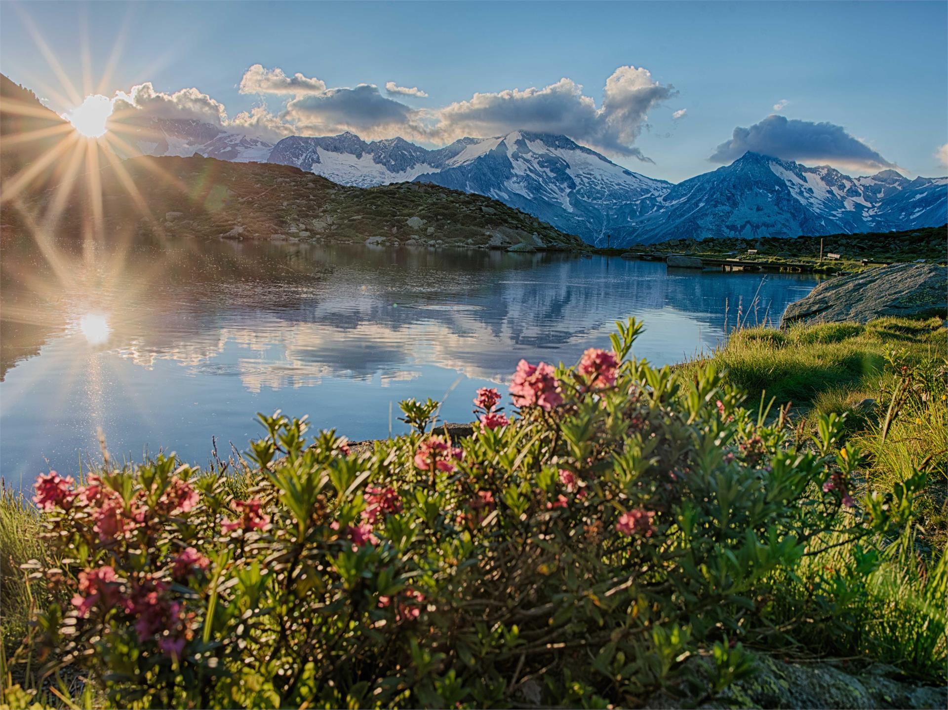
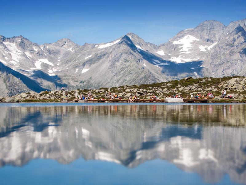
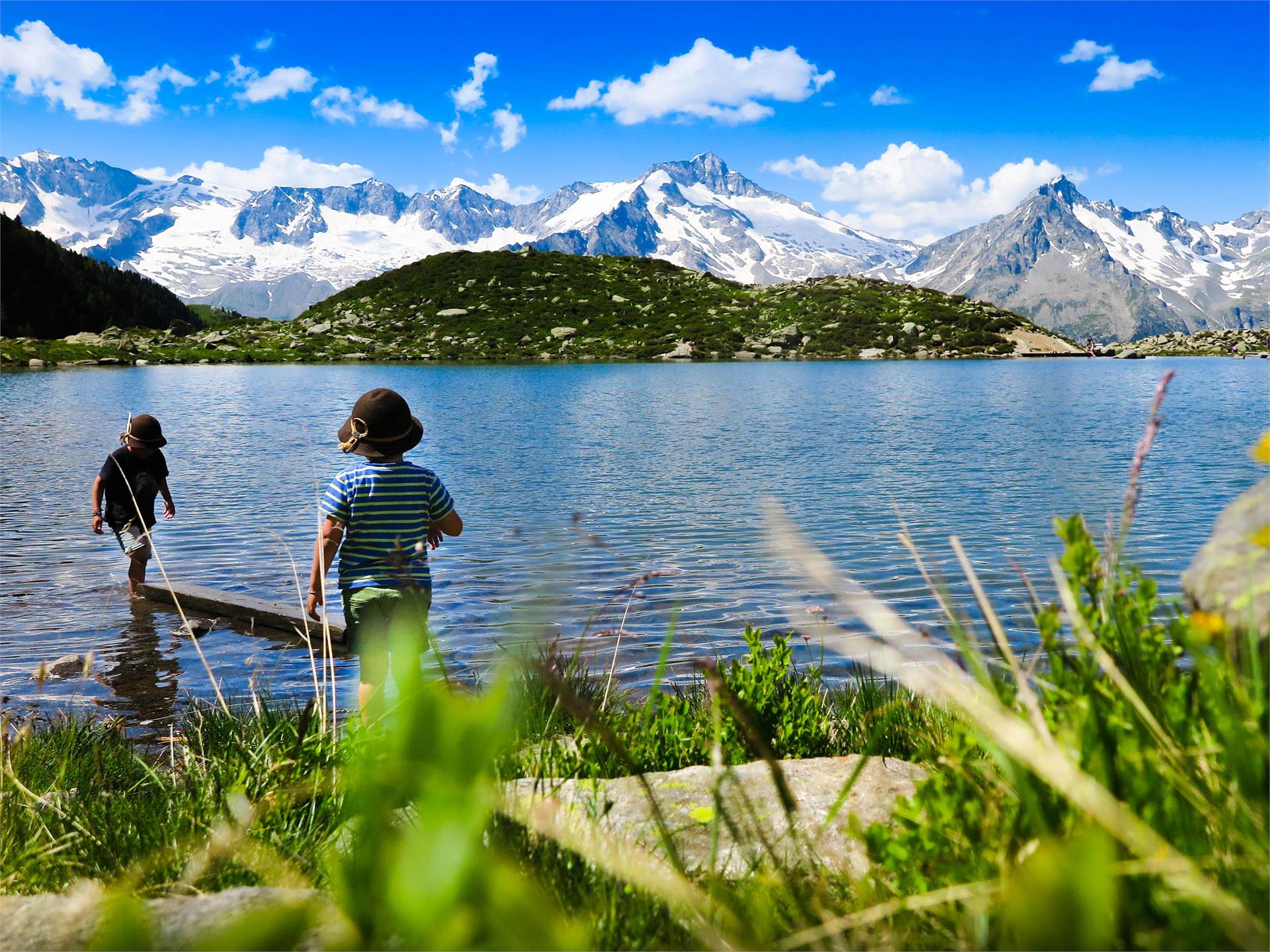
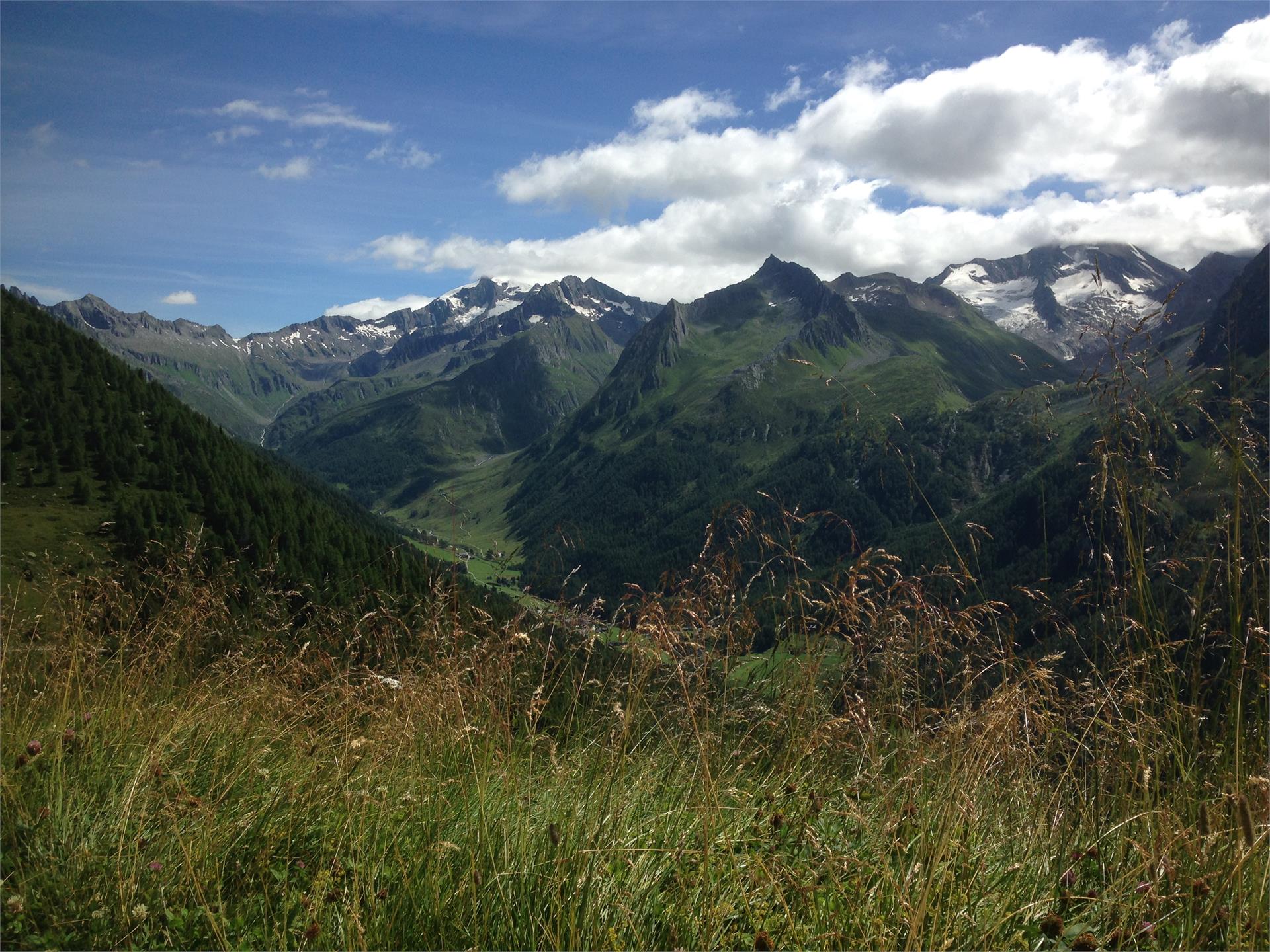
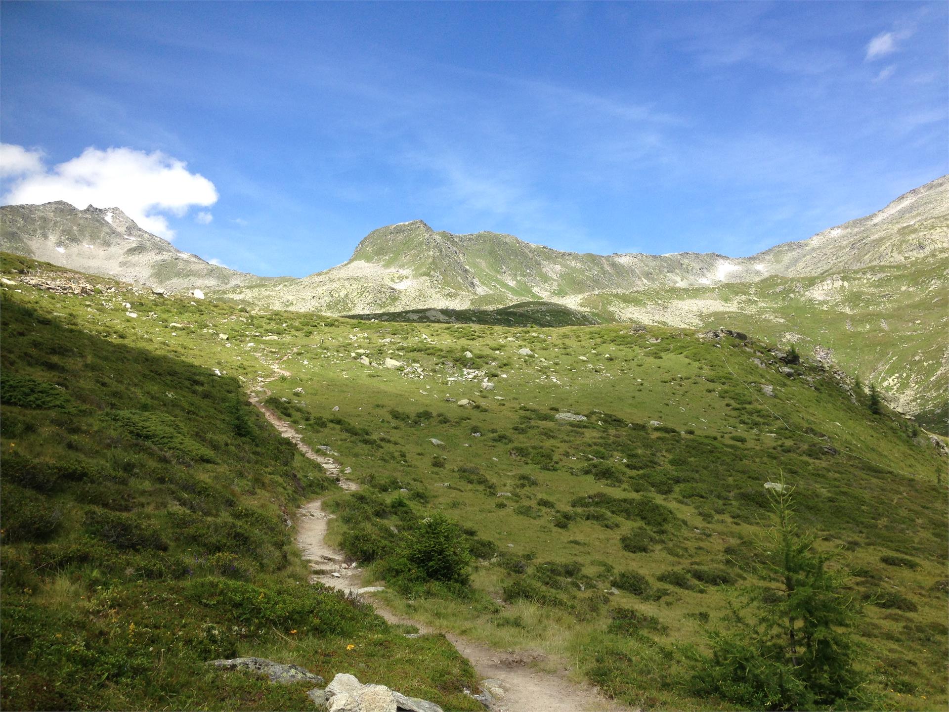
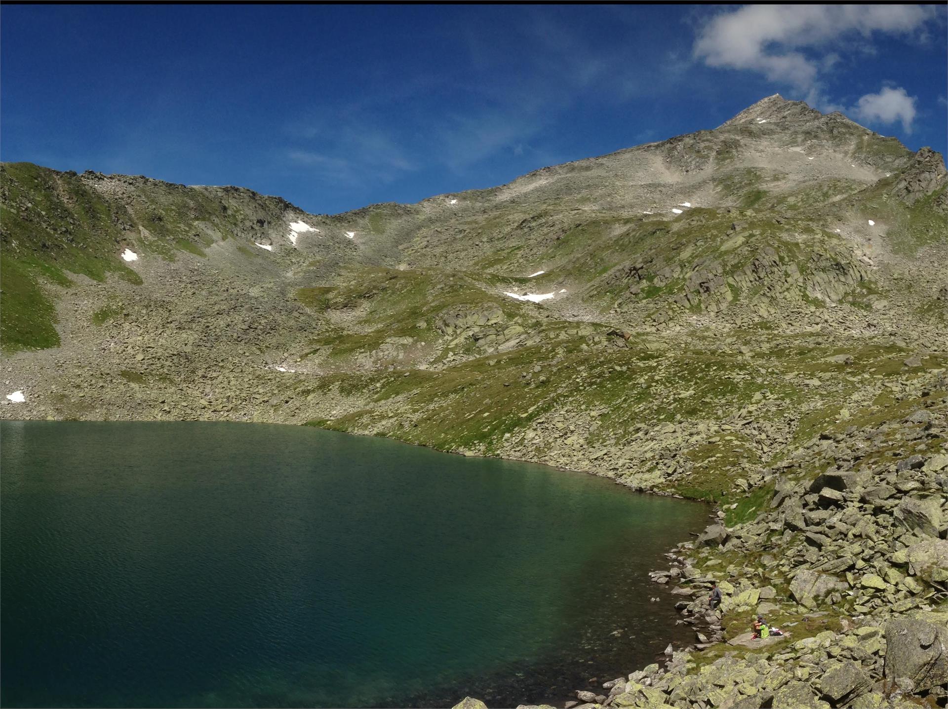
A nice hiking tour to the famous lake Waldner above Prettau/Predoi!
| Region Ahrntal vám nabízí nezapomenutelné zážitky v přírodě a bohaté kulturní dědictví. Přijďte a objevte všechny jeho krásy. |
A nice hiking tour to the famous lake Waldner above Prettau/Predoi!
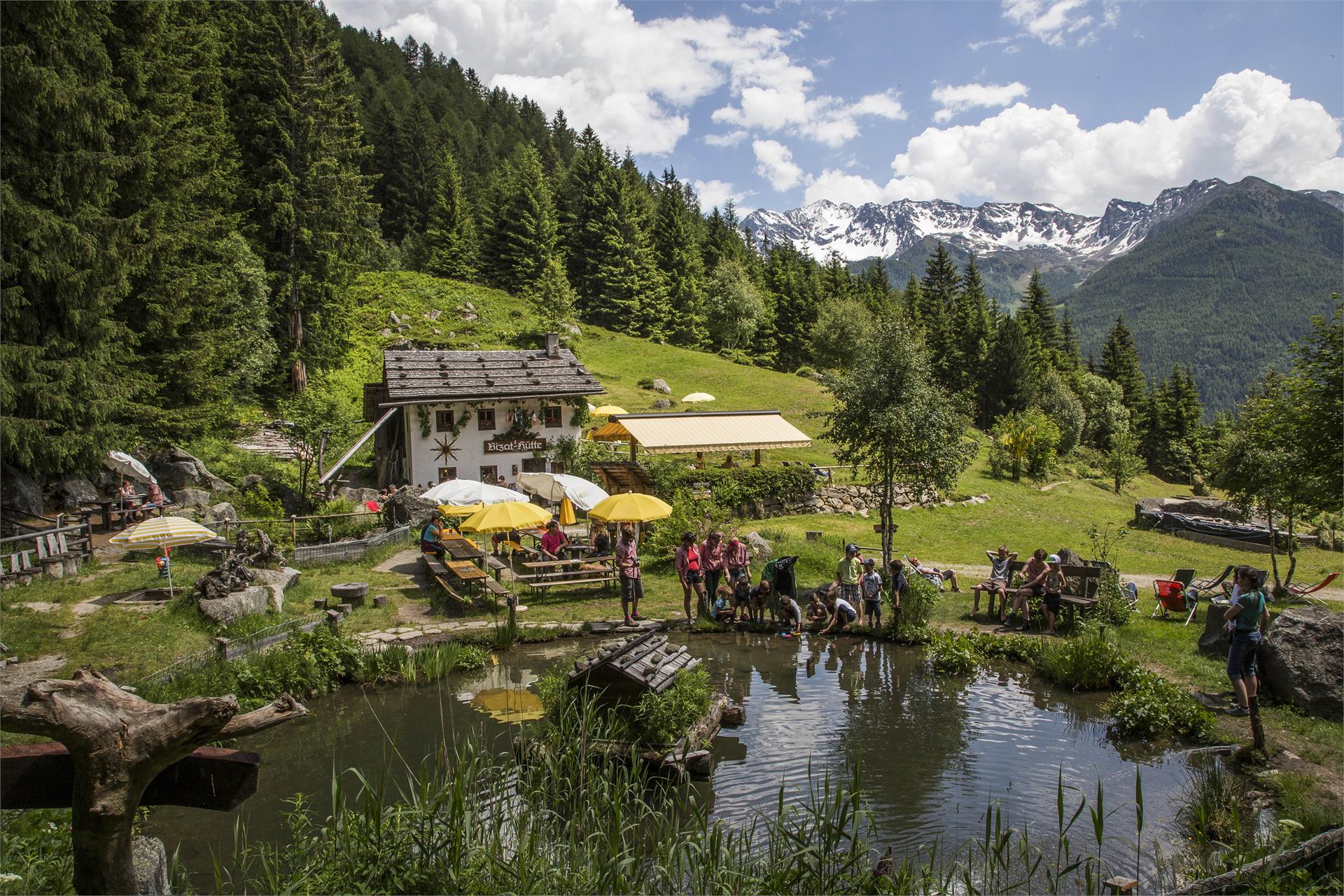
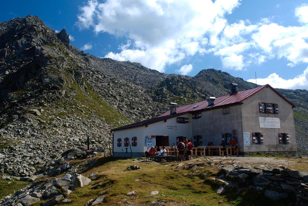
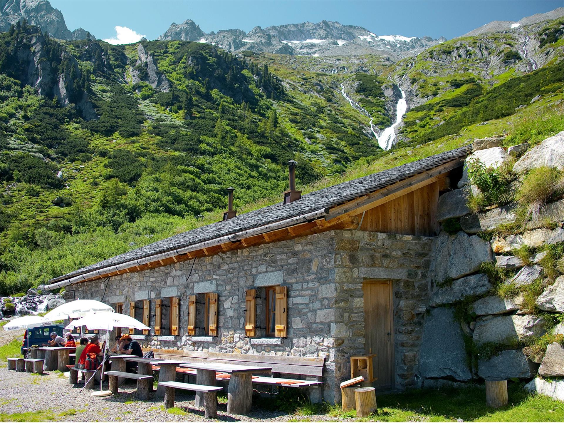
The family-friendly hut Bizat Hütte lies at 1.416 m above St. Johann/San Giovanni and can also be reached with a baby stroller.
Breath the sparkling air and enjoy the silence of nature!
Altitude: 1050 m - 1018 m
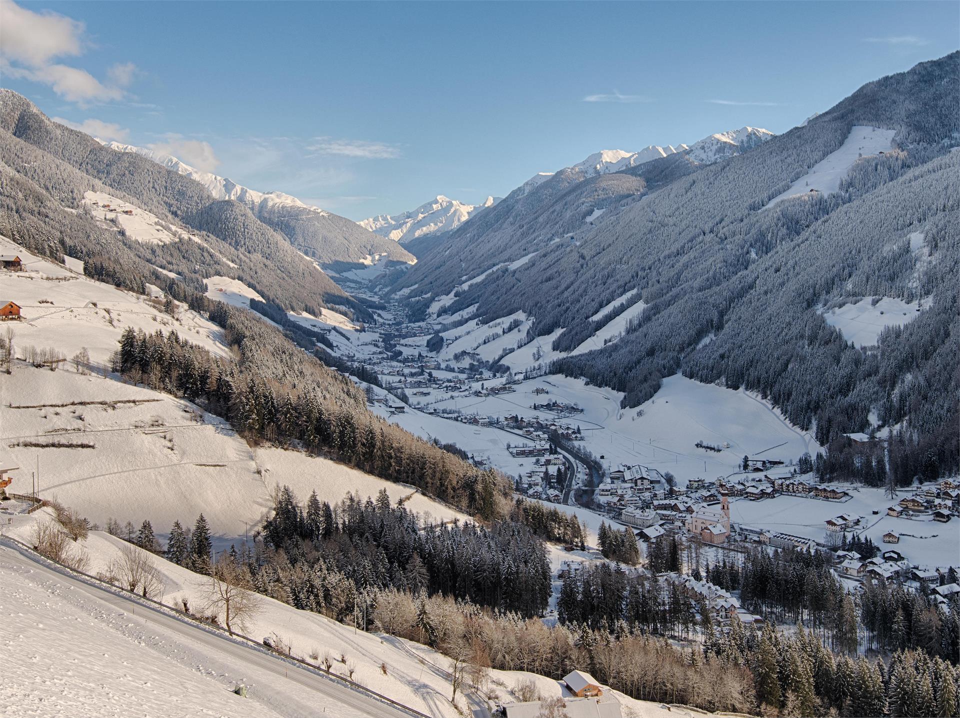
In the cold season you can reach us on a winter hiking trail, which is ideal for snow shoe hiking tours.
We are waiting for you!
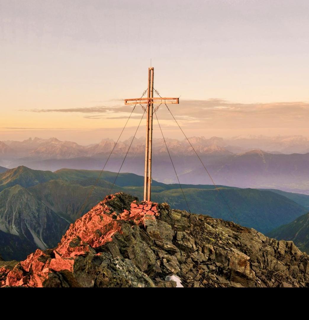
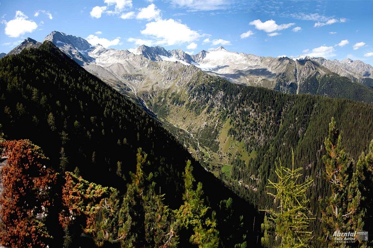
Distinctive high peak with impressive views of the Zillertal Alps, the Venediger and Rieserferner mountain ranges and the Dolomites.
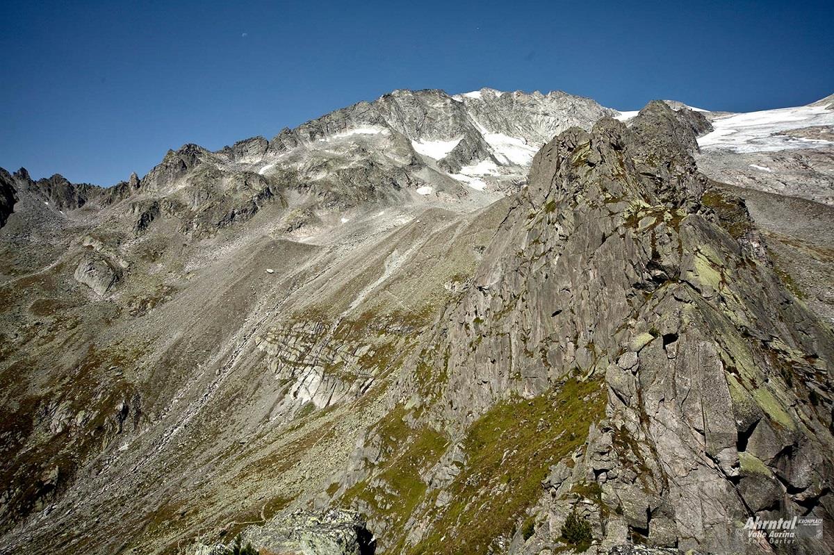
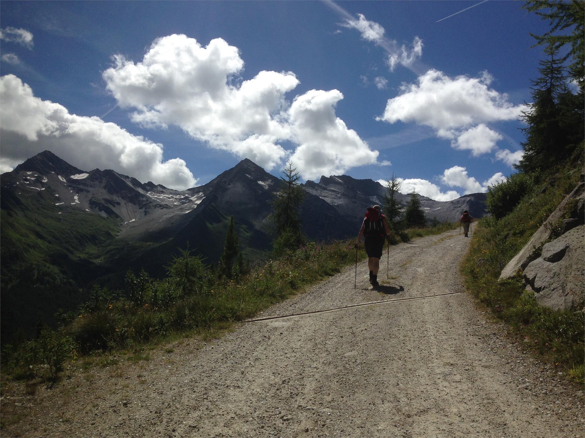
High altitude trail Stabeler - one of the classic high altitude paths in South Tyrol!
The hike is rated intermediate for level of difficulty and offers unforgettable moments. The tour requires experience, not to suffer from vertigo, sure-footedness, physical fitness as well as suitable equipment.
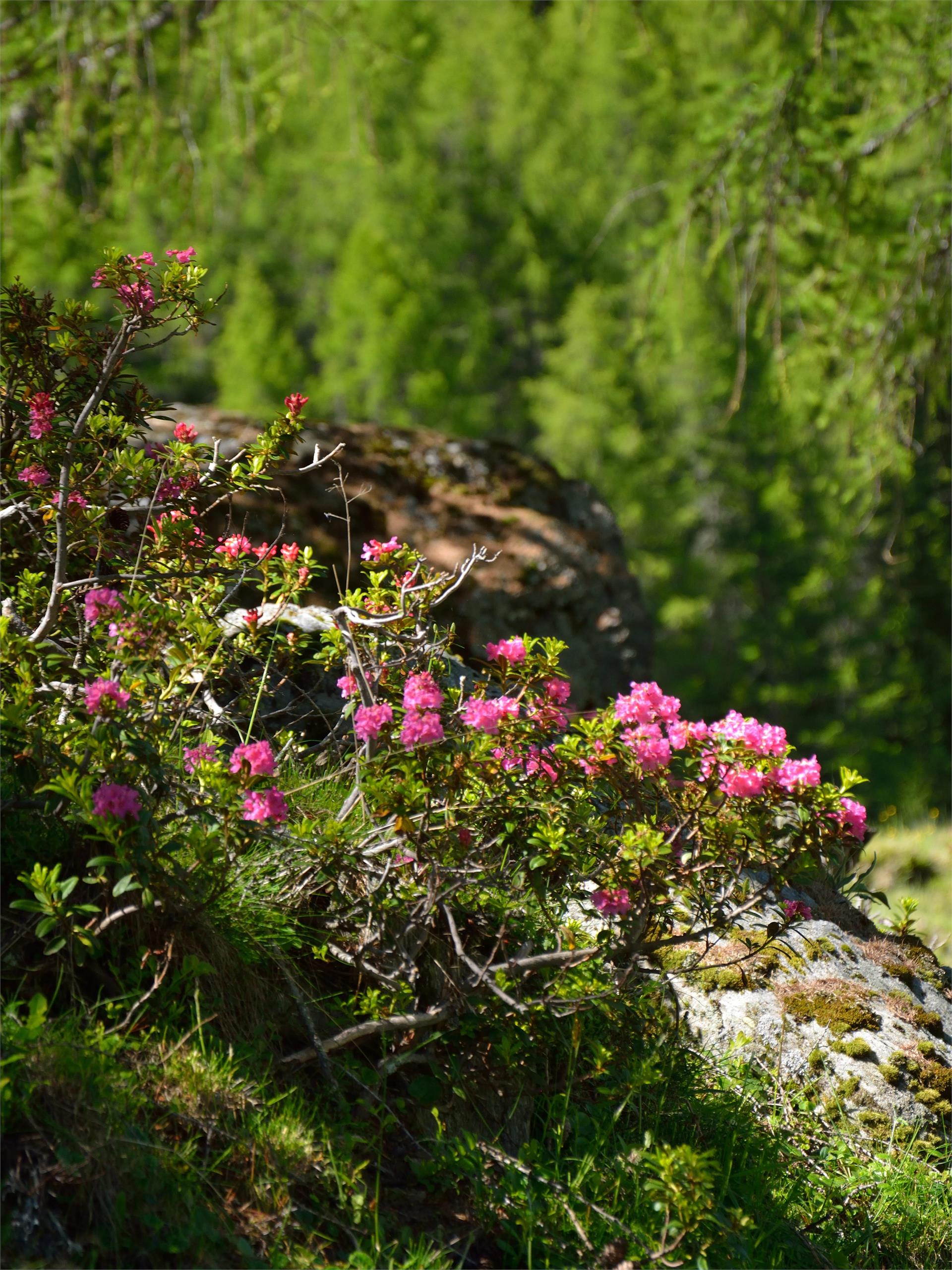
An enjoyable round-trip walk on the Hollenzberg… The journey itself is the reward on this tour plus the many highlights. Once you have mastered the steep ascent to the Hühnerspielhütten, a wonderful clearing opens in front of you, with the picturesque Hühnerspiel huts embedded in the alpine pasture. From there you can enjoy the view reaching from the Dreiherrenspitze to the mountain ridge on the orographic lefthand side of the valley. The Wollbach valley has maintained its unique character of a high alpine pasture and the whole valley is covered in pink during the blooming of the alpine roses. Walking along the vivid glacial waters of the Wollbach, we arrive at the alpine hut bearing the same name and back to the starting point.
Easy hike to a well-known alpine hut where one can rest and have something to eat. Trail no. 33a hike time: 2 hrs modest elevation gain. From the Klausberg mountain station, a broad trail reaches the Almboden Restaurant and then continues winding through romantic alpine meadow and larch forests to the Niederhofer Alm. From there, you can descend to St. Johann in about 1,15 hours or return by the same trail to the cableway top station.
Boundary paths Prettau/Predoi - Hundskehljoch
The yoke Hundskehljoch is located at an altitude of 2,557 m above Prettau/Predoi
- Minigolf
- soccer
- children's playground
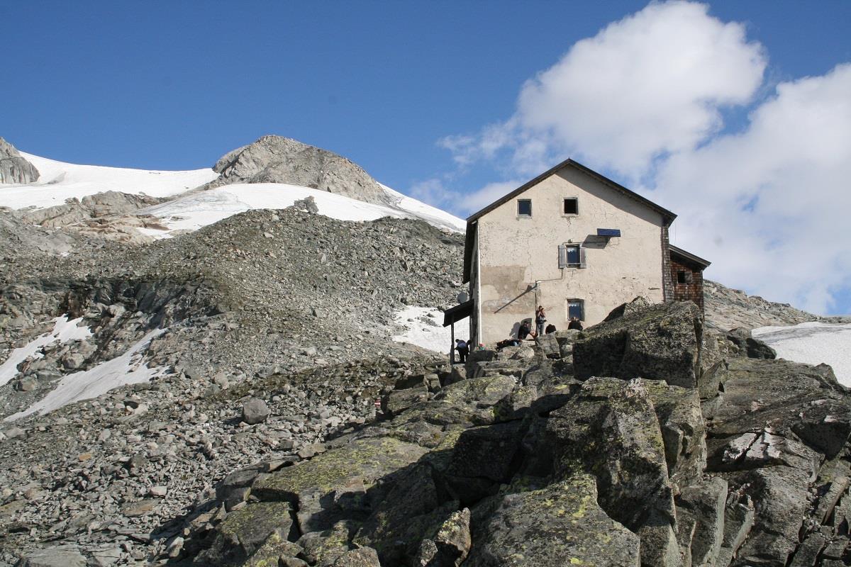
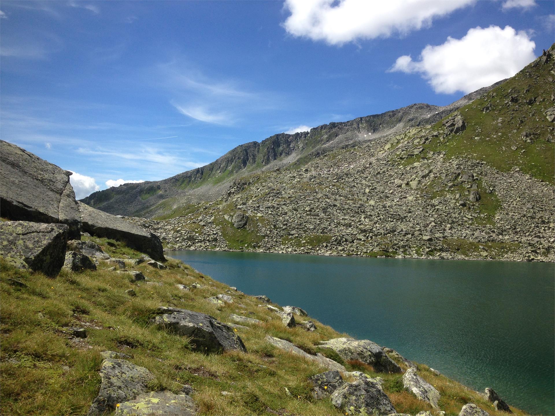
A very rewarding, medium difficulty hike to the most beautiful alpine lake in the Durreck group. Trail no. 33, 1,5 to 2 hrs elevation gain: 560 m The trail starts from the Klausberg upper station, passes the Speck & Schnapsalm, and reaches the Baurschaft refuge and lake Klaussee. From there, you can continue up to the Rauchkofel or Breite Rast.
- Gisse-St. Johann/San Giovanni (bakery and bar)
- Luttach/Lutago (bakery)
- St. Jakob/San Giacomo (confectioner’s and bar)
Information: www.leimgruber.info !
This pilgrimage route leads from Krimml in Pinzgau (AUT) to the Tauern Pass (Ahrntal valley, South Tyrol), then on to St. Jakob/San Giacomo, Weißenbach/Rio Bianco and the Chemnitzer Hütte refuge (Lappach/Lappago). It then continues to the Edelraut Hütte refuge (Lappach/Lappago), via the Pfunderer Valley (Puster Valley) to the trail junction at Niedervintl, and then down in to Switzerland (Müstair) via the Eisack and Vinschgau valleys or via the Brenner Pass to Innsbruck (AUT).
Starting from the historic Tauernweg trail, the route continues from Heilig Geist in Kasern/Casere towards St. Jakob/San Giacomo, Weißenbach/Rio Bianco and the Chemnitzer Hütte and Edelraut Hütte refuges with a descent through the Weitental Valley to Niedervintl. The extended route leads along the existing Way of St. James through the Eisack Valley to Bolzano, the Vinschgau Valley and Müstair in Switzerland. Alternatively, from Mühlbach there is another variant, which heads further north to Sterzing and Brenner and finally to St James' Cathedral in Innsbruck.
An easy summit tour at Weißenbach/Rio Bianco at an elevation of 2,474 metres.
Slope orientation: north-west
Highest point: 2,474 m
Altitude difference: 1,090 m
Approx. time for ascent: 4 hours
Avalanche danger: moderate
> Avalanche report
Information without guarantee
The Arthur Hartdegen Höhenweg was built in 1910 and it is one of the most beautiful mountain trails in South Tyrol.
In the cold season a prepared winter hiking trail, a cross country track and a toboggan run – which are also illuminated - lead to our hut.
For groups of 8 or more people - open in the evenings by reservation.
The Daimeralm hut is located 1.862 m above St. Johann/San Giovanni in the beautiful valley Rotbach.
! In the cold season a winter hiking trail leads to our hut. The Berger family will make you feel welcome!
Easy tour with a stunning panoramic view.
Highest point: 2,517 m
Altitude difference: 1,150 m
Approx. time for ascent: 5 hours
> Avalanche report
Information without guarantee