Přeskočit na obsah

přidáno k oblíbeným

odebráno z oblíbených

Jejda! Došlo k problému, zkuste to prosím znovu

Vytváří se váš účet

Váš účet byl úspěšně vytvořen a nyní jste přihlášeni

Jste úspěšně přihlášeni!

Váš účet byl úspěšně vytvořen, ale nepodařilo se nám vás automaticky přihlásit

Jste odhlášeni

Filtr
Vybrané filtry
    Úroveň obtížnosti
    Doba trvání
    Vzdálenost v km

    Krásy regionu Ahrntal

    Region Ahrntal vám nabízí nezapomenutelné zážitky v přírodě a bohaté kulturní dědictví. Přijďte a objevte všechny jeho krásy.
    Výsledky
    Themed Hikes
    Health paths Weißenbach/Rio Bianco
    Ahrntal/Valle Aurina, Ahrntal/Valle Aurina

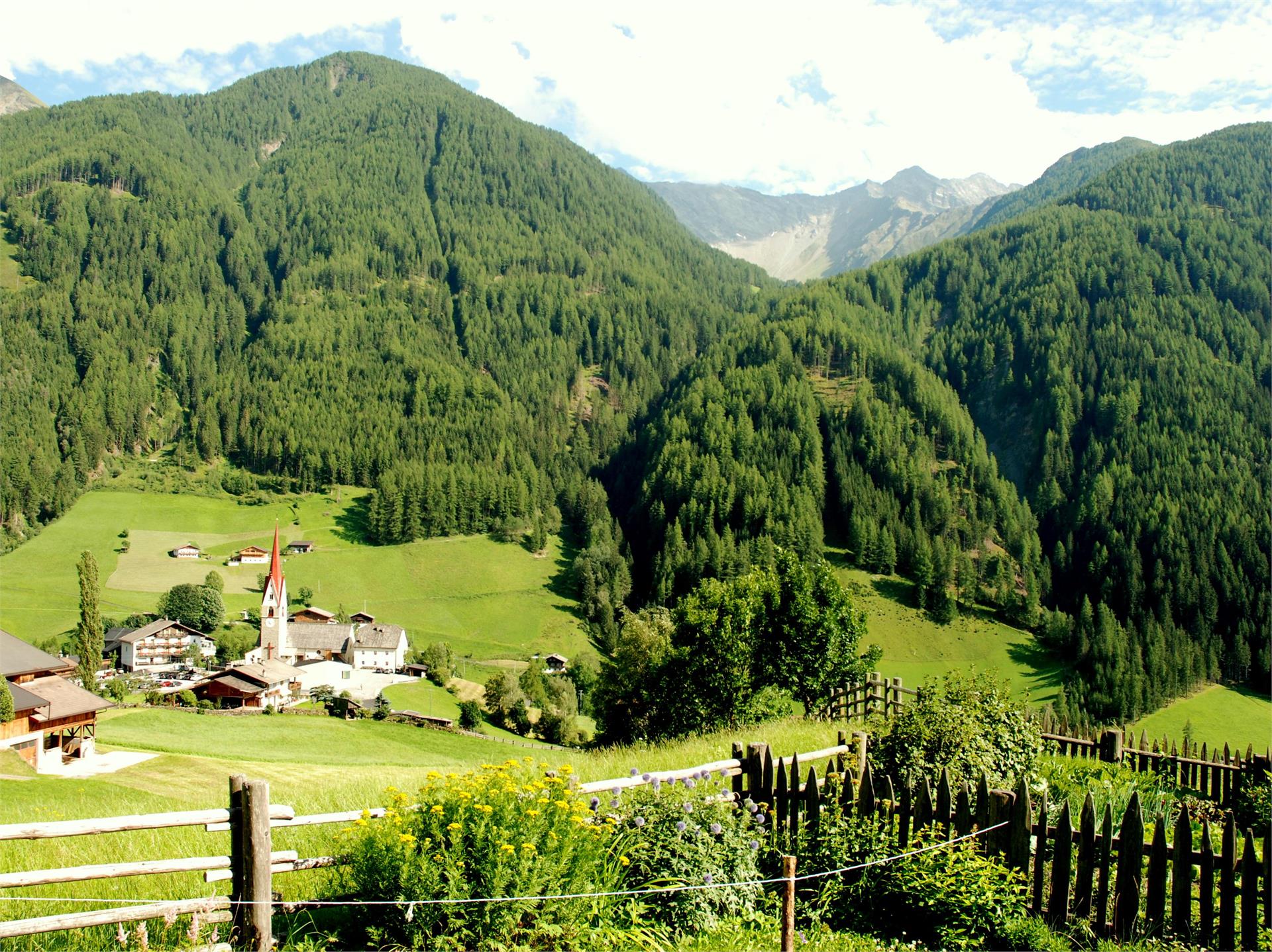
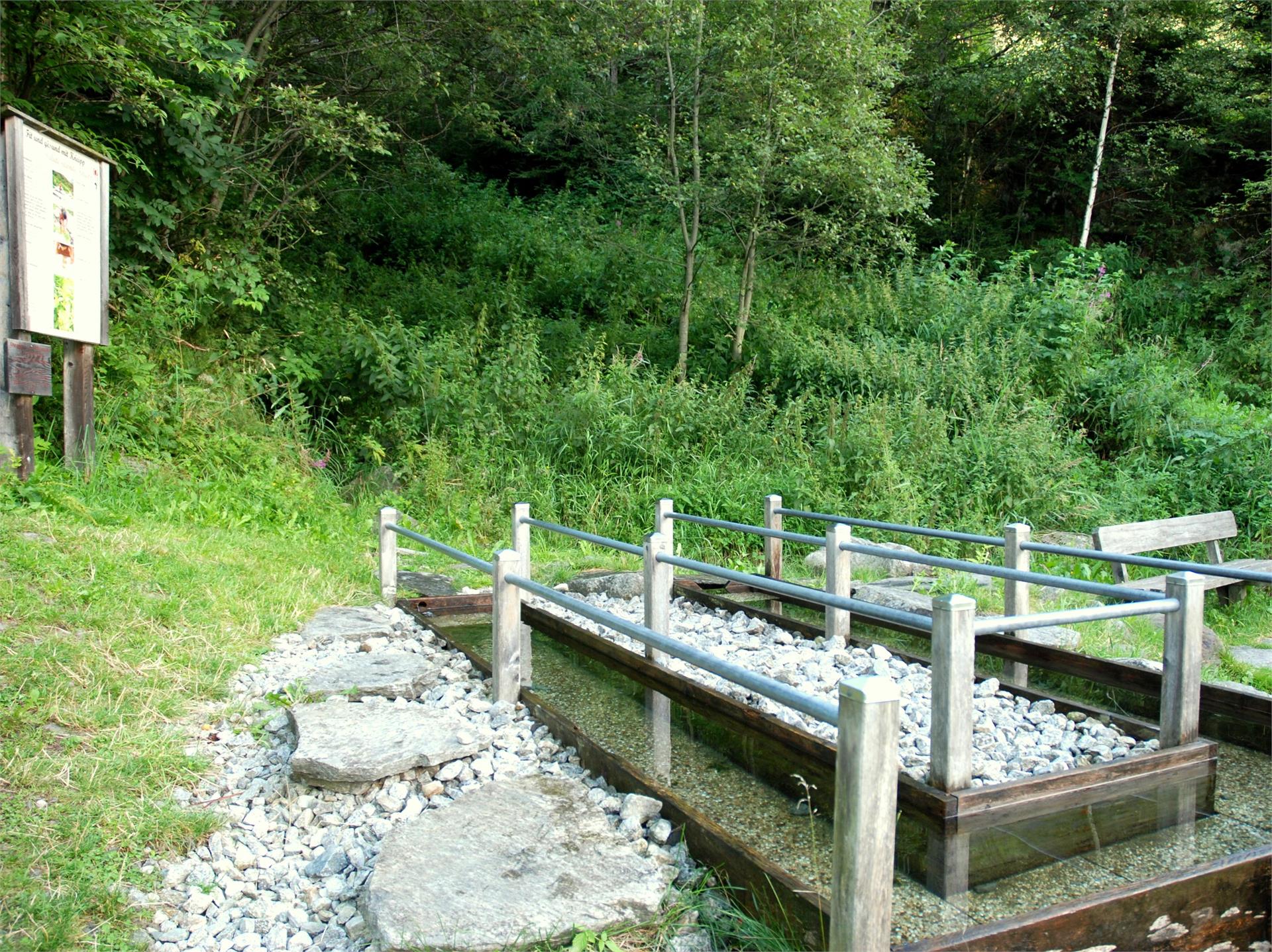
    Special Feature Wellness Trail Weißenbach/Rio Bianco. The mountain village of Weißenbach/Rio Bianco—with its rich diversity of local herbs and the elemental forces of water, air and light—offers the ideal setting for the Weißenbach/Rio Bianco Wellness Trail.

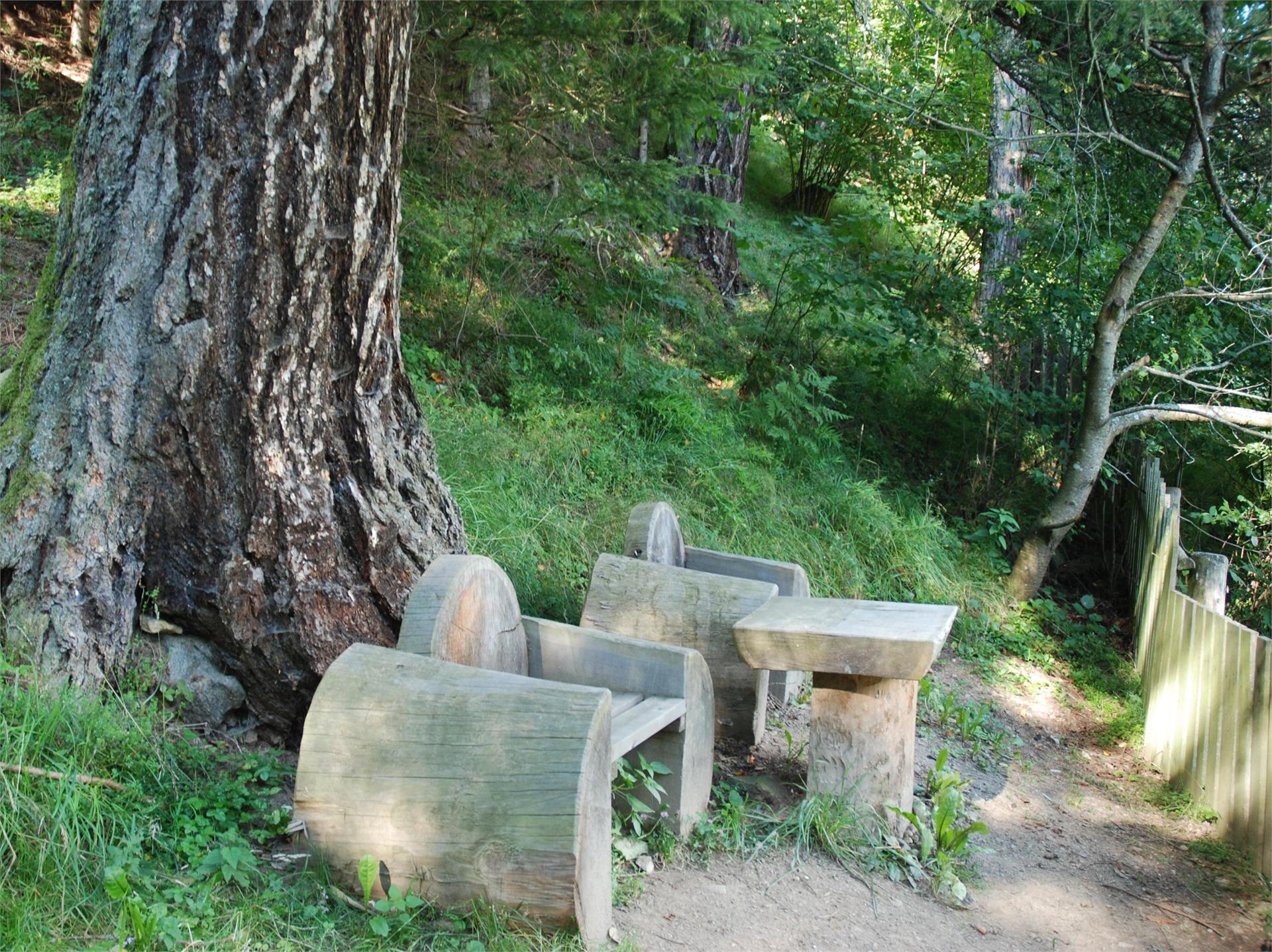
    Regular exercise amid nature works as an active preventative, helping to achieve a balanced harmony between mind, body and soul. The mountain village of Weißenbach/Rio Bianco provides the ideal backdrop. With its unique and beautiful nature, colourful diversity of local herbs, and elementary forces of water, air and light, this outstanding natural landscape cried out for health trails to be created here.

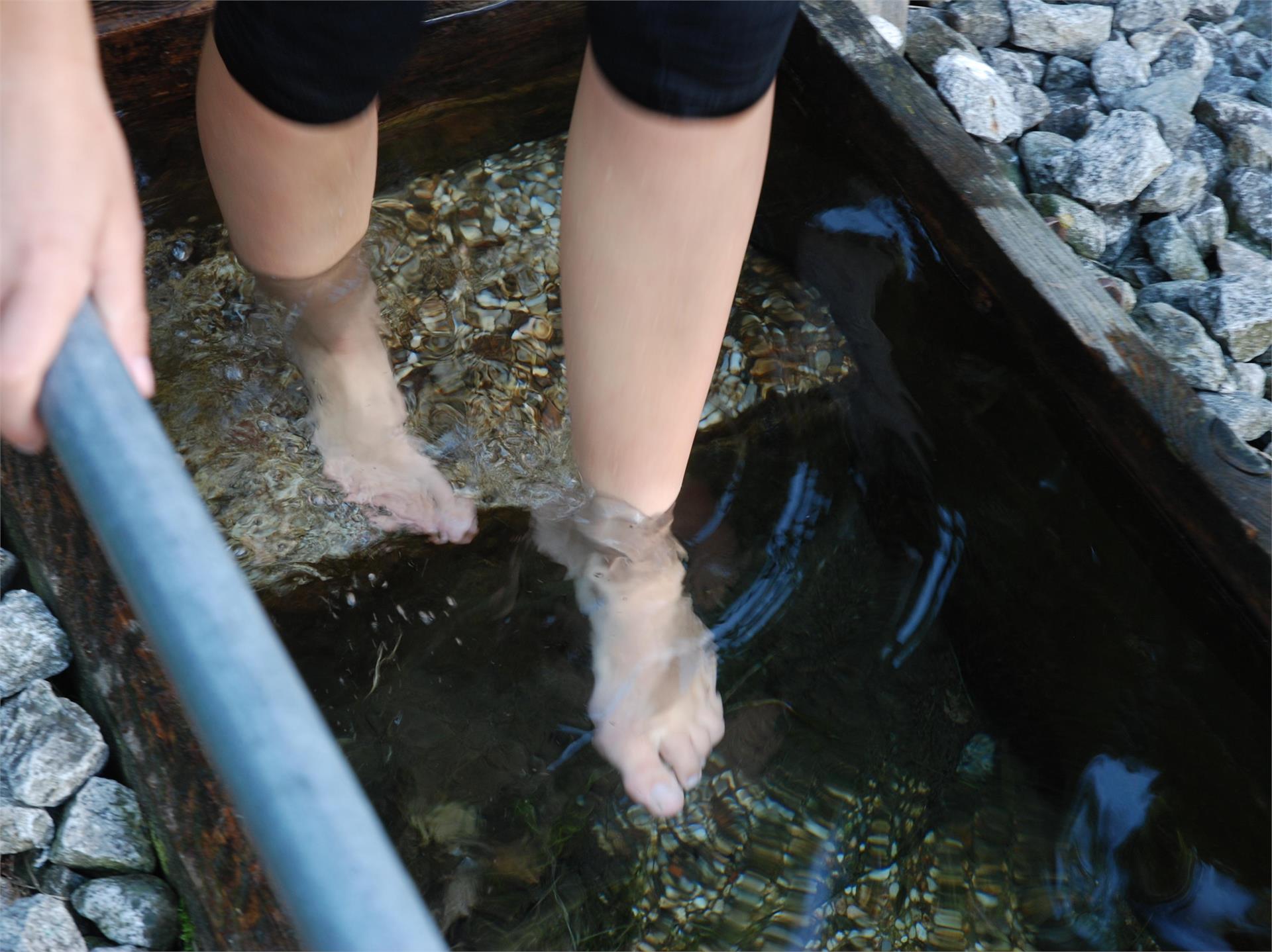
    The three trails represent the three basic pillars of the Kneipp therapy: phytotherapy (the use of natural extracts as medicine) is explained on the Herbal Trail; the cold hydrotherapy can be refreshingly experienced on the Kneipp trail; and the principle of finding a balanced lifestyle through exercise is demonstrated on the Exercise Trail.

    Obtížnost: nízká
    504 m nadmořská výška
    3h:30 min doba trvání
    Mountaineering
    Mountain tour to Schönberg
    Ahrntal/Valle Aurina, Ahrntal/Valle Aurina

    „Nomen est omen“ - Schönberg is like a pulpit offering a great view in a low mountain range between the peaks of Turnerkamp and Schwarzenstein. Beautiful is the sight of these two higher mountains, beautiful is the path to the alpine pasture, beautiful is the summit and beautiful is the panoramic view of the Ahrntal valley reaching to the Dolomites in the distance. Schönberg is situated at the southernmost point of a lateral mountain range dividing the Schwarzbach and the Mitterbach valleys. Another mountain which is well seen from the peak and is situated a bit higher above in the north is called Schafbretter, a perfect name disclosing the true form of the mountain, which looks like boards descending down to the timber line. Because of the danger of avalanches, mighty barriers were installed above the Schönbergalm.

    Obtížnost: střední
    848 m nadmořská výška
    3h:53 min doba trvání
    Hiking
    Trejer Alm (Äußere Michlreis Alm) [alpine hut]
    Sand in Taufers/Campo Tures, Ahrntal/Valle Aurina

    The Speikboden is more than just a favorite ski area. It is also an ideal hiking area. The mountain got its name from a little flower that grows in the high mountains – Alpine valerian, or “Speik” in German – and that is in fact because this lovely flower is often found in the hiking area.

    With the cable cars you can reach the "Speikboden Alm" at 2000 metres of altitude or the Sonnklar mountain at 2400 metres above sea level. Both are starting points for fantastic walks and hikes along well maintained trails. Particularly popular are the sunrise walks - to spot the first sunrays while the valley still lies in darkness is a memorable experience.

    Obtížnost: nízká
    108 m nadmořská výška
    1h:00 min doba trvání
    Themed Hikes
    Mountain pasture landscape
    Ahrntal/Valle Aurina, Ahrntal/Valle Aurina

    Beginning the walk in the cultivated land in the valley, we cross into typical high alpine larch forests. The forest is of great importance since it protects the valley from avalanches and falling rocks - but it can only fulfill this role if the flora and fauna are kept in a harmonious relationship. Above the woods, we find alpine cabins - witnesses of past labours. Over the years, farmers have shaped the landscape and kept in balanced.

    Obtížnost: střední
    716 m nadmořská výška
    4h:30 min doba trvání
    Mountaineering
    Hut to hut hiking: Krimmler Tauern - Trek
    Prettau/Predoi, Ahrntal/Valle Aurina

    HISTORICAL PATHS BETWEEN SOUTH TYROL AND SALZBURG REGION 

    Tour: Kasern/Casere – Krimmler Tauernhaus mountain refuge – Warnsdorfer Hütte mountain refuge – Birnlücken Hütte mountain refuge Kasern/Casere

    4 days – 3 overnight stays

    The hike is rated intermediate-high for level of difficulty and offers unforgettable moments. The tour requires experience, not to suffer from vertigo, sure-footedness, physical fitness as well as suitable equipment. 


    Obtížnost: vysoká
    2618 m nadmořská výška
    12h:15 min doba trvání
    Hiking
    Hike to the Knuttenalm
    Prettau/Predoi, Ahrntal/Valle Aurina

    Enjoy traditonal local dishes and spend happy hours in a friendly atmosphere.

    Obtížnost: nízká
    219 m nadmořská výška
    1h:04 min doba trvání
    Slopes
    Zirm
    Sand in Taufers/Campo Tures, Ahrntal/Valle Aurina

    Speikboden Bergbahnen is a snow-secure, familiarly skiing-area in the valley “Tauferer-Ahrntal”. It contains 8 cableways with a total transport performance of 13.140 persons/hour. About 80 hectare of slopes has to offer enough liberty for everyone – from the summit (2.400 m altitude) to the valley (950 m altitude). Many alternations of the terrain and very wide slopes make happy beginners and professional skiers. In the summer the “Speikboden” is a fantastic hiking area!

    The two ski arenas Speikboden and Klausberg including the two town lifts Weißenbach and Rein in Taufers form together the Skiworld Ahrntal. A single ski pass allows you to use over 74 kilometers of slopes while 21 lifts from 950 to 2.510 meters carry you to the mountain top. The covering artificial snow systems of the Skiworld Ahrntal guarantee snow all the way through.

    Obtížnost: střední
    0 m nadmořská výška
    0h:00 min doba trvání
    Lifts
    Steinhauslift
    Ahrntal/Valle Aurina, Ahrntal/Valle Aurina
    Obtížnost: nízká
    0 m nadmořská výška
    0h:06 min doba trvání
    Themed Hikes
    Hiking tour to the waterfall Frankbach
    Ahrntal/Valle Aurina, Ahrntal/Valle Aurina

    Marvel the impressive spectacle of the Frankbach waterfall above St. Johann/San Giovanni. Feel the cooling freshness on your skin, breathe in the pleasant fresh air and admire the colorful light reflections when the sun shines.

    Obtížnost: nízká
    247 m nadmořská výška
    1h:13 min doba trvání
    Themed Hikes
    Ahrntal Sun Trails - Leonardi Trail
    Ahrntal/Valle Aurina, Ahrntal/Valle Aurina

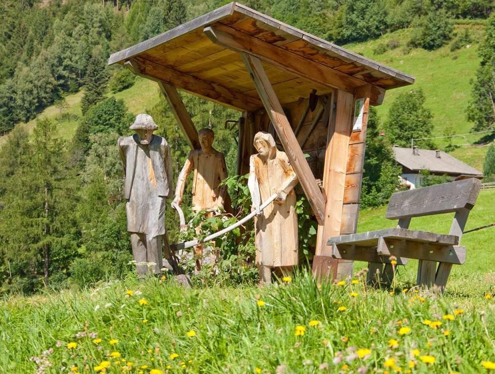
    The trail leads you to a truly unique sight: the artist Jakob Oberhollenzer’s exposition park that includes a series of breathtaking life-size wooden sculptures. You’ll quickly realize however that this is a trail every bit as much about the journey as the destination. You will see stunning scenery, views of life in this valley from long ago to now, farm work, art and reflections of times past. The trail starts in St. Jakob and goes along the sunny path above the village through fields, forests and after a short distance along the old “Mühlweg” it brings you back to where you started. At various spots hikers get a look into rural-life and farm work through texts and images. The focus is on the themes: “From grain to bread”, “From flax to linen” and “Woodwork in the forest” in the course of the various seasons. In addition, there is the possibility to experience going bare-foot and treading in the refreshing glacier water. The trail is named after the patron saint Leonhard,the advocate for farmers and their diverse interests. Religion and popular beliefs have left a lasting impression on rural-life here. You can walk back from the Sculpture Garden along the street directly to the village. Or the longer route takes you past some of the local farms, past the bus stop in front of Gasthof Garber and then back to the car park.

    Obtížnost: nízká
    245 m nadmořská výška
    1h:13 min doba trvání
    Themed Hikes
    Knight's trail
    Sand in Taufers/Campo Tures, Ahrntal/Valle Aurina
    From the Tourist Office in Sand in Taufers/Campo Tures, walk in a easterly direction and cross the bridge to St. Moritzen/San Maurizio. Turn right and walk along the left banks of the river, cross another bridge to the right bank. Then take another bridge on the left and turn right towards Winkel. On the left side you can find the Kneipp trail. Walk along the road to the car park for the Reinbach Waterfalls. Turn left into the forest (nr. 2) until you come to the first Reinbach waterfall. The road leads upwards to the 2nd and the 3rd waterfall. Cross the high bridge at the 3rd waterfall and turn onto path number 2 towards the Toblhof restaurant. Cross the road and follow path number 2A, which leads you slightly descending to the Pircherhöfe. Then turnleft throught the forest until you come to a crossroads. Turn right and walk to Taufers Castle and enjoy the panoramic views. Walk along a small path, passing the castle chapel until you are bacj in Sand in Taufers/Campo Tures. Cross the bridge at the main road and walk towards the end of the village.
    Obtížnost: střední
    344 m nadmořská výška
    2h:28 min doba trvání
    Snowshoe Hikes
    Snowshoe Hiking tour to the Gruberalm hut
    Ahrntal/Valle Aurina, Ahrntal/Valle Aurina

    Discover nature of the Ahrntal valley on puffy snow pillows. 

    The snowshoe hiking tour to the Gruberalm (closed in winter) hut is a highlight for every snowshoe hiking fan.  

    Walking time to the hut approx. 1½ h.

    Obtížnost: střední
    376 m nadmořská výška
    2h:45 min doba trvání
    Sledging Trail
    Toboggun run Weizgruber Alp hut
    Mühlwald/Selva dei Molini, Ahrntal/Valle Aurina

    The coasting slide from the alp hut Weizgruber to Selva dei Molini/Mühlwald is 3 km long. The alp hut is open every day, but an announcement by phone is advisable.

    Obtížnost: nízká
    0 m nadmořská výška
    1h:30 min doba trvání
    Snowshoe Hikes
    Snowshoe hike | Kleiner Nock
    Sand in Taufers/Campo Tures, Ahrntal/Valle Aurina
    Medium-difficulty snowshoe hike away from the slopes in the middle of nature at over 2,000m at Speikboden. Thanks to the Speikboden cable car, you already overcome 1,000 meters in altitude and thus comfortably reach the starting point of this tour. Continue straight on past the Speikboden mountain restaurant and follow hiking trail no. 18a until you reach the summit cross after about 2 hours. The hike offers a magnificent view of the Zillertal Alps, the Durreck Group and the Ahrntal Valley.
    Obtížnost: střední
    260 m nadmořská výška
    2h:30 min doba trvání
    Classic and skating
    Circle Rein in Taufers / Riva di Tures
    Sand in Taufers/Campo Tures, Ahrntal/Valle Aurina

    In Rein in Taufers / Riva di Tures there are different types of tracts. To be suited for everyone: amateurs or professionals, classic or freestyle. There are changing rooms and toilettes in the ski-center.

    Obtížnost: střední
    188 m nadmořská výška
    0h:00 min doba trvání
    Mountaineering
    Long-distance trek on the sunny side of the Zillertal Alps - from Sterzing to the Birnlückenhütte
    Sterzing/Vipiteno, Ahrntal/Valle Aurina

    Day 1: From Sterzing railway station, take the bus to the hamlet of Platz. The hike then leads along a serpentine path, first through forest and then through open terrain over a mountain ridge and finally over scree to the Landshuter/Europahütte (2,693 m). Possibility to spend the night 

    Day 2: The next day the hike leads along the Landshuter Höhenweg. Past the Grieplalm and the Durrnsee and through alpine pastures, the trail leads to the Pfitscher Jochstraße. After a descent on this path, the hiking trail then climbs again. After crossing a few mountain streams, the trail winds its way up to the Hochfeilerhütte (2,715 m). Possibility to stay overnight

    Day 3: The next day, the route is initially relatively flat until the Gliederbach valley head. Climb up to the glacier and cross it. Crampons are necessary in high summer. Subsequent ascent to the Untere Weiszintscharte (2,972 m). From there, a beautiful hiking trail down to the Edelrauthütte (2,545 m) and via the Neveser Höhenweg in the direction of the Neveser Joch. The route continues at a relatively constant altitude into the Ursprungtal valley and past the foot of the Gr. Möseler (3,479 m) to the Chemnitzer Hütte (2,420 m). Possibility to stay overnight

    Day 4: On the following day, take the relatively narrow but safe Hans-Stabeler-Höhenweg via the Gelenkscharte and the Schwarzbachtörl to the sand moraines at the foot of the Schwarzenstein. Firstly, ascend along a beautiful hiking trail, then through snow fields and over rocky terrain to the newly built Schwarzensteinhütte (3,026 m). Possibility to spend the night

    Day 5: Descent from the Schwarzensteinhütte (3,026 m) across the Große Tor into the Trippachtal valley. From the Große Tor over a moraine slope downhill to the turnoff to the Großer Löffler. Descend to the Kegelgasslalm (2,109 m). Continue the hike on the path to the Großer Löffler and then continue in the direction of Marbelfleckscharte (2,762 m). Long descent into the Frankbachtal valley to the Vileggalm (1,834 m). Continue the hike on the Hermannsteig to the Holzerbödenalm (1,900 m).  

    Clarify overnight accommodation options with the hut or in the village (consider additional time required for the descent and ascent)

    Day 6: The hike then takes us along the Almenweg into the Wollbachtal valley to the Wollbachalm (1,609 m). The path then climbs again and takes us to the Innerhütten (1,924 m). At a relatively constant altitude, the trail leads to the Hühnerspielhütten (power place). The route then continues slightly downhill to the Hollenzalm (1,844 m). The hiking trail (track) leads downhill via the Hollenztal valley to the lower mountain pastures and then climbs again as a hiking trail to reach the Steinerbachtal valley. The hike continues a track through the Walchertal valley into the Griesbachtal valley. At the Winkleralm, the hiking trail again leads us relatively steeply uphill to the Samhütten (2,011 m). We then continue over the Sam on a track to the Waldneralm (2,086 m).

    Clarify overnight accommodation options with the hut or in the village (allow extra time for the descent and ascent)

    Day 7: Ascent to lake Waldnersee (2,345 m) and further ascent on the hiking trail or short connecting trail to the Lausitzer Höhenweg (2,630 m). Continue the hike at a constant altitude, crossing several small valleys and mountain ridges to the former Neugersdorfer Hütte (2,568 m). The hike continues along the border trail and finally leads to the hut Birnlückenhütte (2,441 m). Possibility to stay overnight

    Day 8: On the following day, the trail descends in serpentines to the hut Lahneralm and out of the valley on a wide track to Kasern (1,595 m) to the bus connection. 

    Obtížnost: vysoká
    8068 m nadmořská výška
    49h:15 min doba trvání
    Hiking
    Kleiner Nock [hillock]
    Sand in Taufers/Campo Tures, Ahrntal/Valle Aurina

    The Speikboden is more than just a favorite ski area. It is also an ideal hiking area. The mountain got its name from a little flower that grows in the high mountains – Alpine valerian, or “Speik” in German – and that is in fact because this lovely flower is often found in the hiking area.

    With the cable cars you can reach the "Speikboden Alm" at 2000 metres of altitude or the Sonnklar mountain at 2400 metres above sea level. Both are starting points for fantastic walks and hikes along well maintained trails. Particularly popular are the sunrise walks - to spot the first sunrays while the valley still lies in darkness is a memorable experience.

    Obtížnost: nízká
    268 m nadmořská výška
    1h:19 min doba trvání
    Running & Fitness
    4 huts trail
    Sand in Taufers/Campo Tures, Ahrntal/Valle Aurina
    The 4 huts trail in the Ahrntal valley is a long-distance hiking trail that offers a dreamlike landscape of glaciers, lakes and grass-covered mountains that are often like islands in the middle of high mountains.
    Obtížnost: vysoká
    2683 m nadmořská výška
    15h:01 min doba trvání
    Themed Hikes
    Ice age
    Sand in Taufers/Campo Tures, Ahrntal/Valle Aurina

    Hiking trough typical high forests and partly abandoned alpine pastures to reach the glacier world of the Rieserfernergruppe mountain range. Lots of creeks, brooks and waterfalls, fed by the glaciers, will give you an idea of the abundance of water in this area. At the Tristennöckl summit (2465 m) you can observe some arolla pine trees in their highest habitat in the Eastern Alps. The walk over boulders and moraines will bring you close to the edge of the floating ice which has vitally shaped the landscape.

    Obtížnost: střední
    991 m nadmořská výška
    3h:00 min doba trvání
    Sledging Trail
    Sledge Run Speikboden - Weißenbach/Rio Bianco
    Sand in Taufers/Campo Tures, Ahrntal/Valle Aurina

    The Speikboden ski area is a place with great variety – above all else when it comes to what is available in the way of activities. It is not just skiing and snowboarding that are the order of the day, but also sledding, a winter sport with a huge fun factor that is very popular especially with families and children. In this ski area, there are two sled runs at once, one of which can boast the distinction of being the longest sled run in all South Tyrol-Südtirol. The starting point of both sled runs is located at the mountain terminal which can be reached without any problems with the Speikboden cable car.
    With a length of 10 km (6.2 miles), sledders leisurely head down a very well-groomed sled run – which can even be covered with man-made snow, if necessary – all the way to Lutago-Luttach. The second sled run, which is just as wide with a total length of 8 km (5 miles) has the same starting point, but after a couple of miles it turns off toward Rio Bianco-Weißenbach. From either of the destinations, sledders can be picked up again by the ski bus or public bus and taken back to the valley terminal to head up again. 
    Also particularly popular is the weekly Rodelgaudisledding party, a sledding event that is open to everyone.

    Obtížnost: nízká
    0 m nadmořská výška
    0h:00 min doba trvání
    Mountaineering
    Sossen - Kofler lakes
    Sand in Taufers/Campo Tures, Ahrntal/Valle Aurina

    The most beautiful view of the Rieserferner mountain range…

    The Sossental valley is steep, isolated and rocky. It diverges from the busy path which leads to the Knuttenalm and the valley is more easily accessible ascending rather than descending it. At the Sossenjoch saddle the wow-factor: the panoramic view to the mighty glaciers such as Hochgall, Wildgall, Magerstein and Schneebiger Nock takes our breath away. The Kofler lakes invite
    us to have a rest, because the sight of the Rieserferner mountains from there is one of the most beautiful in the entire Tauferer Ahrntal valley. This trip can be also recommended on hot summer days as the ascent through the Sossental lies mostly in the shade.

    Obtížnost: střední
    996 m nadmořská výška
    3h:57 min doba trvání
    Ski Tours
    Ski tour Achsel 2,336 m
    Prettau/Predoi, Ahrntal/Valle Aurina

    Easy ski tour at the end of the Ahrntal valley. 


    Highest point: 2,336 m

    Altitude difference: 735 m

    Approx. time for ascent: 2,5 hours


    > Avalanche report


    Information without guarantee

    Obtížnost: nízká
    758 m nadmořská výška
    2h:30 min doba trvání
    Snowshoe Hikes
    Snowshoe Hiking tour to the Holzerböden hut
    Ahrntal/Valle Aurina, Ahrntal/Valle Aurina

    Feel the silence in the forest and discover the nature of the Ahrntal valley on puffy snow pillows. 

    The snowshoe hiking tour to the Holzerböden hut (closed in Winter) is not difficult. Enjoy the stunning view of the whole valley. 

    Walking time to the hut approx. 2 1/4 h. 

    Obtížnost: střední
    427 m nadmořská výška
    3h:30 min doba trvání
    Slopes
    Tottomandl 2
    Sand in Taufers/Campo Tures, Ahrntal/Valle Aurina

    Speikboden Bergbahnen is a snow-secure, familiarly skiing-area in the valley “Tauferer-Ahrntal”. It contains 8 cableways with a total transport performance of 13.140 persons/hour. About 80 hectare of slopes has to offer enough liberty for everyone – from the summit (2.400 m altitude) to the valley (950 m altitude). Many alternations of the terrain and very wide slopes make happy beginners and professional skiers. In the summer the “Speikboden” is a fantastic hiking area!

    The two ski arenas Speikboden and Klausberg including the two town lifts Weißenbach and Rein in Taufers form together the Skiworld Ahrntal. A single ski pass allows you to use over 74 kilometers of slopes while 21 lifts from 950 to 2.510 meters carry you to the mountain top. The covering artificial snow systems of the Skiworld Ahrntal guarantee snow all the way through.

    Obtížnost: nízká
    0 m nadmořská výška
    0h:00 min doba trvání
    Hiking
    Hochfeld 2296m + Bärental 1837m
    Ahrntal/Valle Aurina, Ahrntal/Valle Aurina

    Long, sometimes difficult hike, but very rewarding with stunning scenery on route. Trails no. 2, 7a and 7 hike time: 3 to 5 hrs elevation gain: 700 m. From the Klausberg mountian station via trail no. 2 into the Großklausental to the Moser plain. From the alpine hut, situated at an altitude of 1847 m, continue along trail no. 7 to the Gruben alpine hut (2040 m), from where you follow the markings up to Hochfeld. From Hochfeld, follow the markings down to the Hochfeld alpine hut (where you can eat). Important: follow the markings carefully because the trail from Hochfeld to Hochfeldalm is incorrect on some hiking maps. From Hochfeldalm, you can either descend via St. Jakob or return to the Großklausental via the Pferraböden, descending to either Steinhaus or St. Jakob. It is also possible to make a direct descent to St. Jakob crossing the "Bärental".

    Obtížnost: střední
    1062 m nadmořská výška
    4h:54 min doba trvání
    Lifts
    Riva di Tures – Ski lift Pichler
    Ahrntal/Valle Aurina, Ahrntal/Valle Aurina
    Just a few steps away from Hotel Berger/Gasthof Pircher, two small pistes with their own lifts wind their way up the sunny slope: the first is a platter lift from the Hotel Berger, right next to it is the Pichler chairlift. Professional ski instructors are also available. Families and beginners who are still a little unsteady on their skis will find the best conditions there to make their turns through the snow in peace and quiet.
    Obtížnost: nízká
    0 m nadmořská výška
    0h:00 min doba trvání
    Sledging Trail
    Toboggun run Lappach/Lappago
    Mühlwald/Selva dei Molini, Ahrntal/Valle Aurina

    The toboggan run is located in the center of Lappach/Lappago and is 400 m long. The walking time is about 10 minutes. Attention: there is no toboggan rental.

    Obtížnost: nízká
    0 m nadmořská výška
    0h:15 min doba trvání
    Slopes
    Family Skilift Weißenbach/Rio Bianco "Maxi"
    Ahrntal/Valle Aurina

    Family Ski Lift Weißenbach/Rio Bianco – A highlight for all families in Ahrntal!

    The newly built family ski lift in Weißenbach/Rio Bianco, located in Ahrntal, is perfect for learning how to ski. On the “Maxi” slope, more experienced skiers can further refine their technique and really pick up speed. Whether you’re looking for a relaxed ride or a sporty challenge, every skier will find their perfect pace.

    Obtížnost: nízká
    0 m nadmořská výška
    0h:00 min doba trvání