Skip to content

added to favourites

removed from favourites

Oops! Something went wrong. Try again

Your account is being created

Your account has been successfully created and you are now logged in

You’ve been logged in successfully!

Your account was created successfully, but we couldn't log you in automatically

You are logged out.

Summer

Hiking tour to lake Klaussee

Steinhaus/Cadipietra, Ahrntal/Valle Aurina, Ahrntal/Valle Aurina
from center

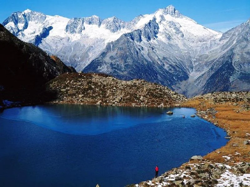
Lago Chiusetta, situated at an elevation of 2,162 metres, is one of the most beautiful mountain lakes in the Durreck Mountains.

Itinerary

Lake Hike Klaussee/Lago Chiusetta 2,162 meters Starting point: Klausberg mountain station in Steinhaus/Cadipietra Highest point: 2,162 m Map/guide: Mapgraphic Hiking Map No. 16: Valle Aurina/Ahrntaler Mountains Lift systems: Cable Car Klausberg

Distance 6.2 Km
Duration 2h:00 min
Ascent 639 m
Descent 639 m
Highest point 2158 m
Lowest point 1588 m
News

Klausberg SUPERCARD: 1 week unlimited use of the mountain cable car to the hiking area Klausberg with 8 traditional mountain huts, romantic mountain lakes, panoramic mountains paths and stunning peaks, 1 ride on the longest alpine coaster in Italy

Details
Directions

Sustainable with the public transport
By bus (line 450) to Steinhaus/Cadipietra, to the bus stop Klausberg

By car
Bruneck/Brunico - Steinhaus/Cadipietra - 27 km
Kasern/Casere - Steinhaus/Cadipietra - 14 km

Parking
Steinhaus/Cadipietra, cable way station Klausberg

Route:
Google Maps

Accommodation image
Finish your booking for
Accommodation name
0  room rooms Not selected No board Breakfast Half board Full board All inclusive
Total price: 0 €
(incl. VAT / excl. local tourism tax)