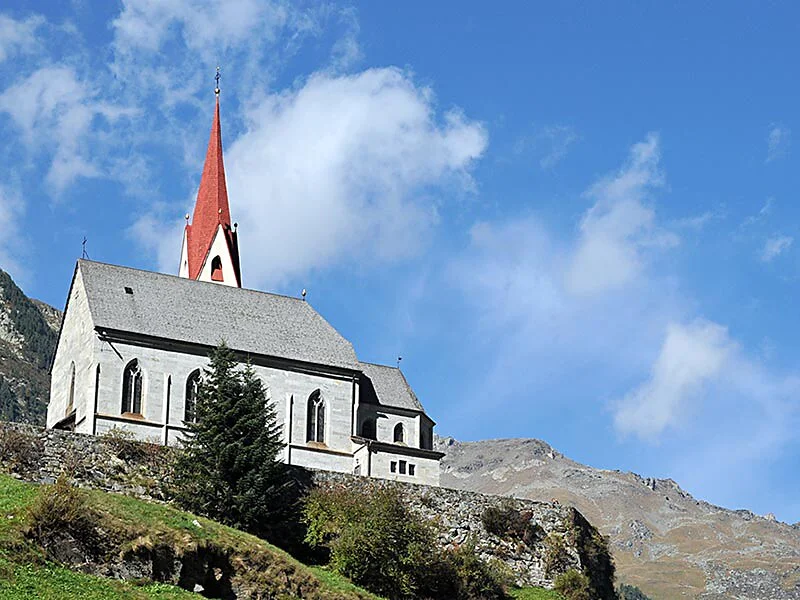
Rein is one of the most oldest villages in the Tauferer Valley. The beautiful high valley is encircled by the three thousand meter peaks of the Rieserferner mountains, from which the Hochgall proudly sticks out. Rein lies in the heart of the Rieserferner Ahrn Nature Park.
The starting point is the Unterstatt bus stop in Rein. You pass the cross-country skiing center and head towards the wooden bridge at the Reiner Bach (River). Just before the bridge, turn left and walk along the left bank of the river ( orogr. right) heading east. The path leads you to the Jausestation Angerer (snack bar) and to the Jausestation Säge (sawmill - snack bar).
The way back is the same as the way there.
By car:
Coming from the north:
München – Rosenheim – Kufstein – Innsbruck – Brennerautobahn – exit at Brixen – national road Pustertaler Staatsstraße to Bruneck – turn left into the Ahrntal Valley - Sand in Taufers/Campo Tures - Rein in Taufers/Riva di Tures
Coming from the west:
Reschen pass, Bozen, Brixen and national road Pustertaler Staatsstraße to Bruneck – turn left into the Ahrntal Valley - Sand in Taufers/Campo Tures - Rein in Taufers/Riva di Tures
Coming from the east:
Motorway Tauernautobahn or Felbertauern tunnel to Lienz and continue on to Innichen -Toblach - Bruneck – turn right into the Ahrntal Valley - Sand in Taufers/Campo Tures - Rein in Taufers/Riva di Tures
Coming from the south:
Verona – Trento – Bozen – Motorway Brennerautobahn to the exit at Brixen – national road Pustertaler Staatsstraße Bruneck – turn left into the Ahrntal Valley - Sand in Taufers/Campo Tures - Rein in Taufers/Riva di Tures

To complete your subscription, open the email we just sent you and click on the confirmation link.
Can’t find it? Check your spam folder too.