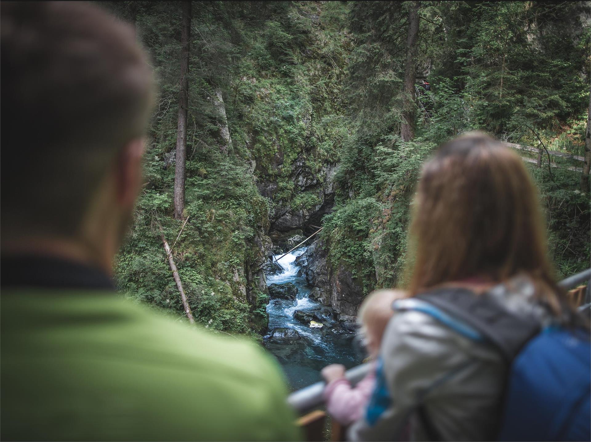
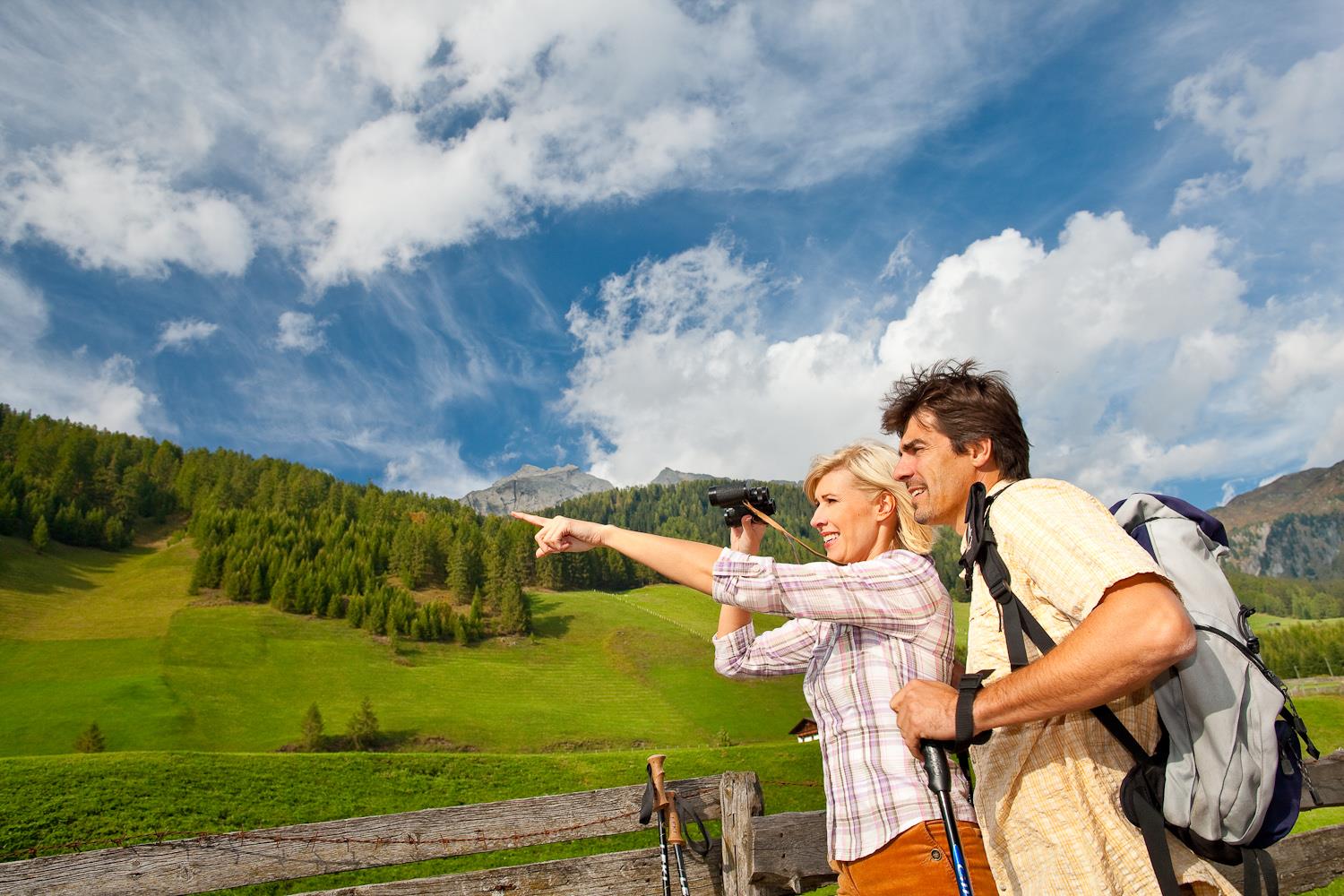
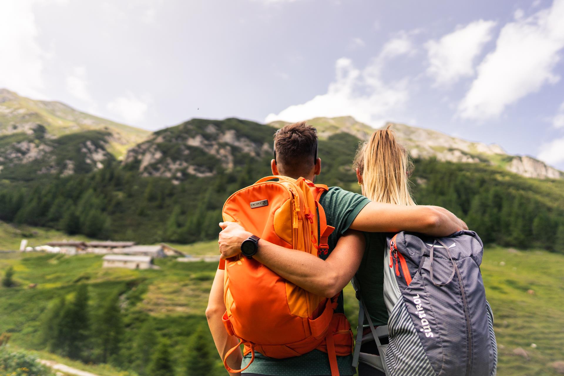
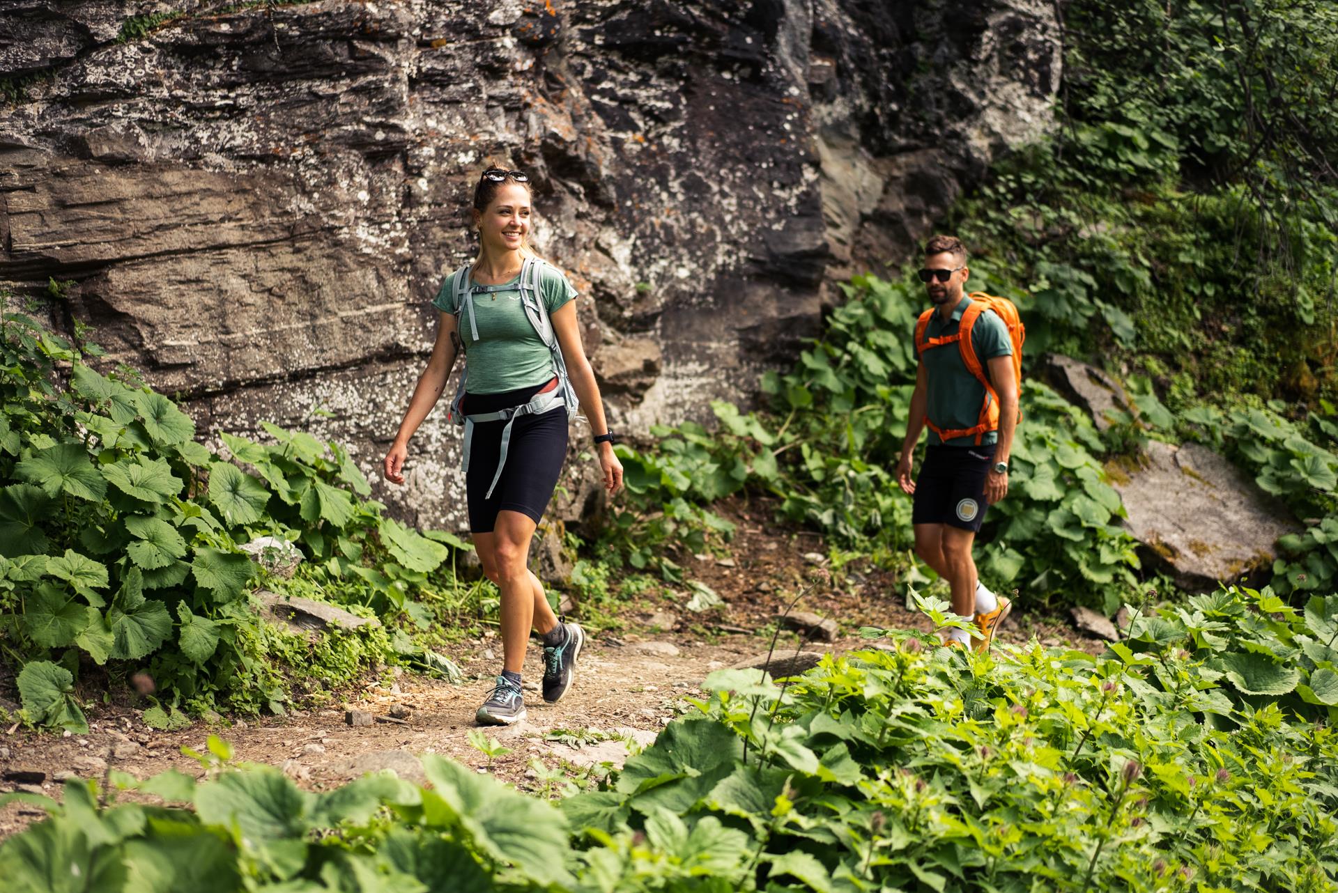
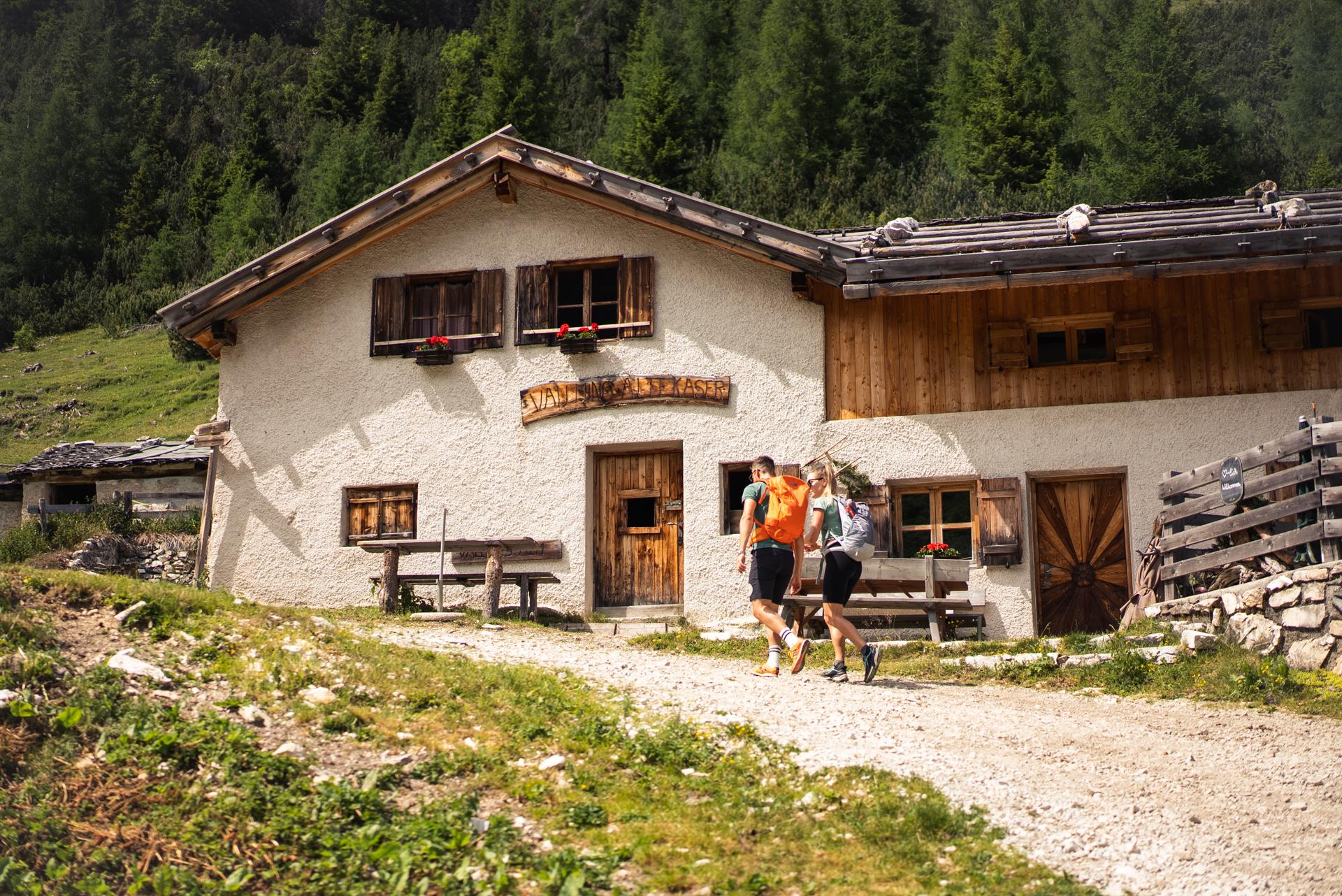
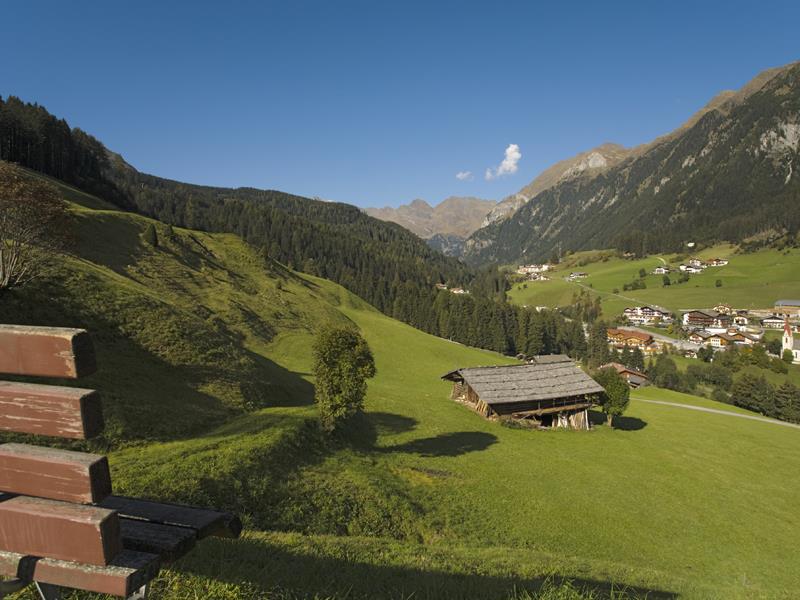
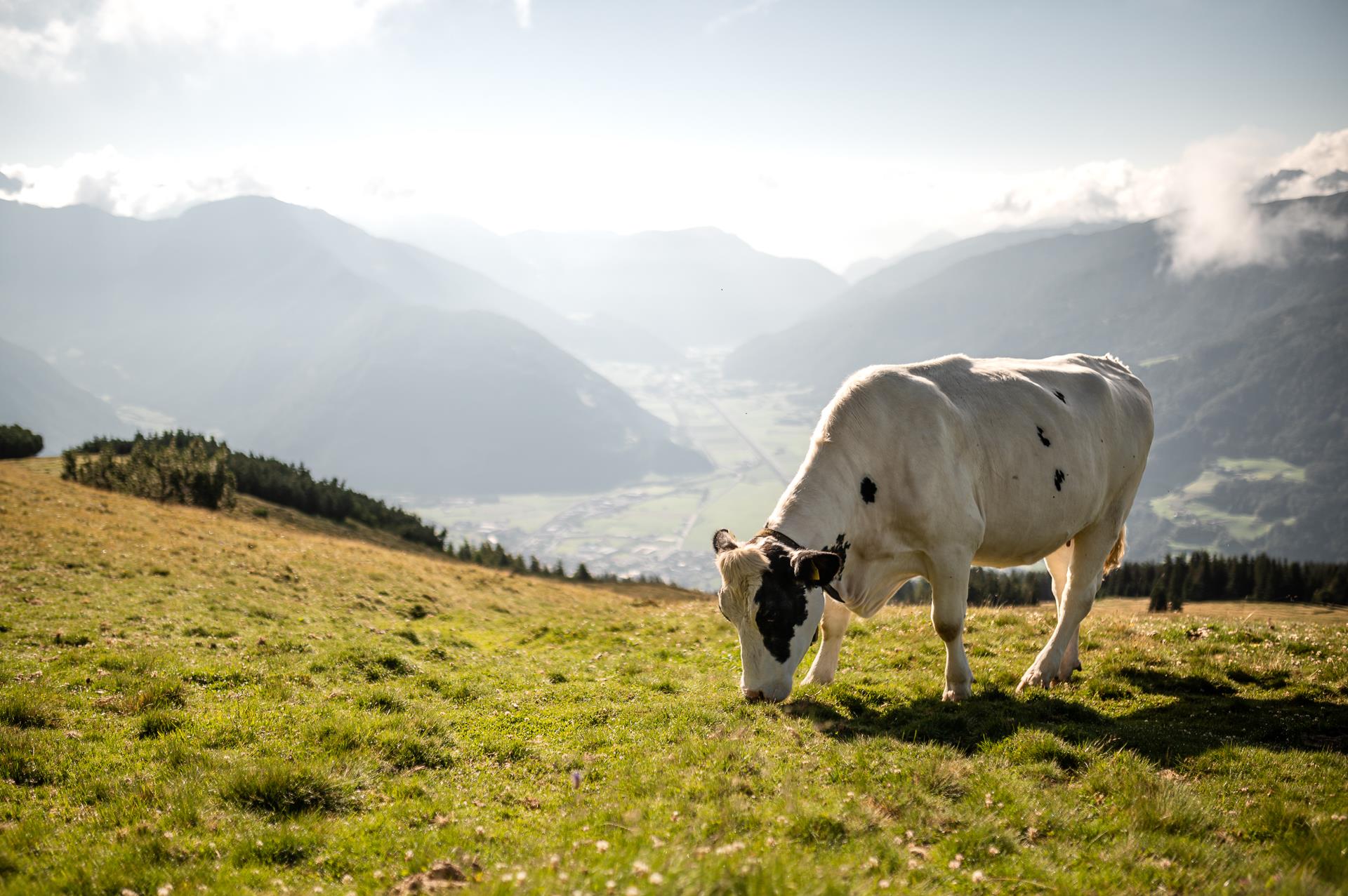

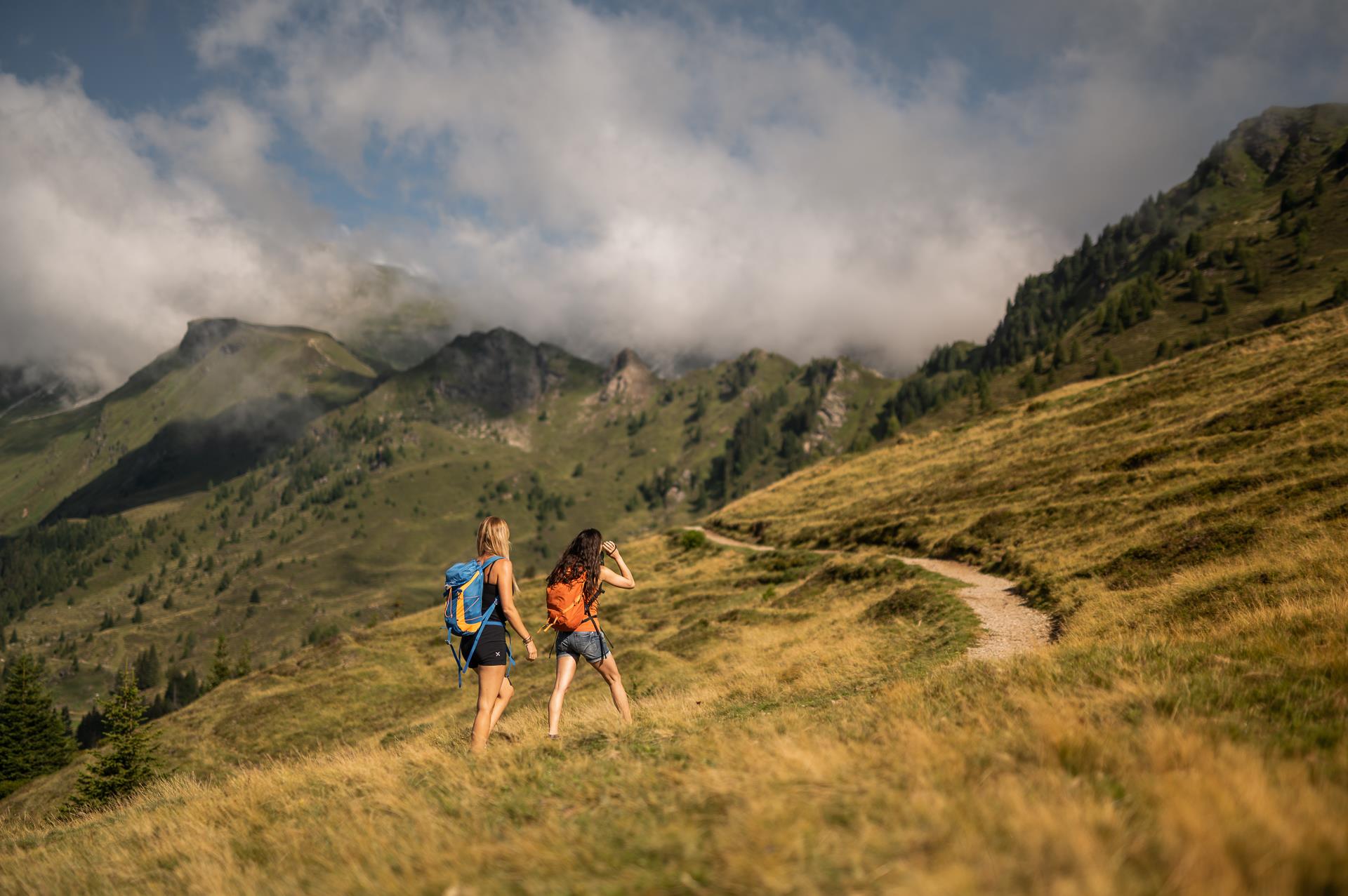


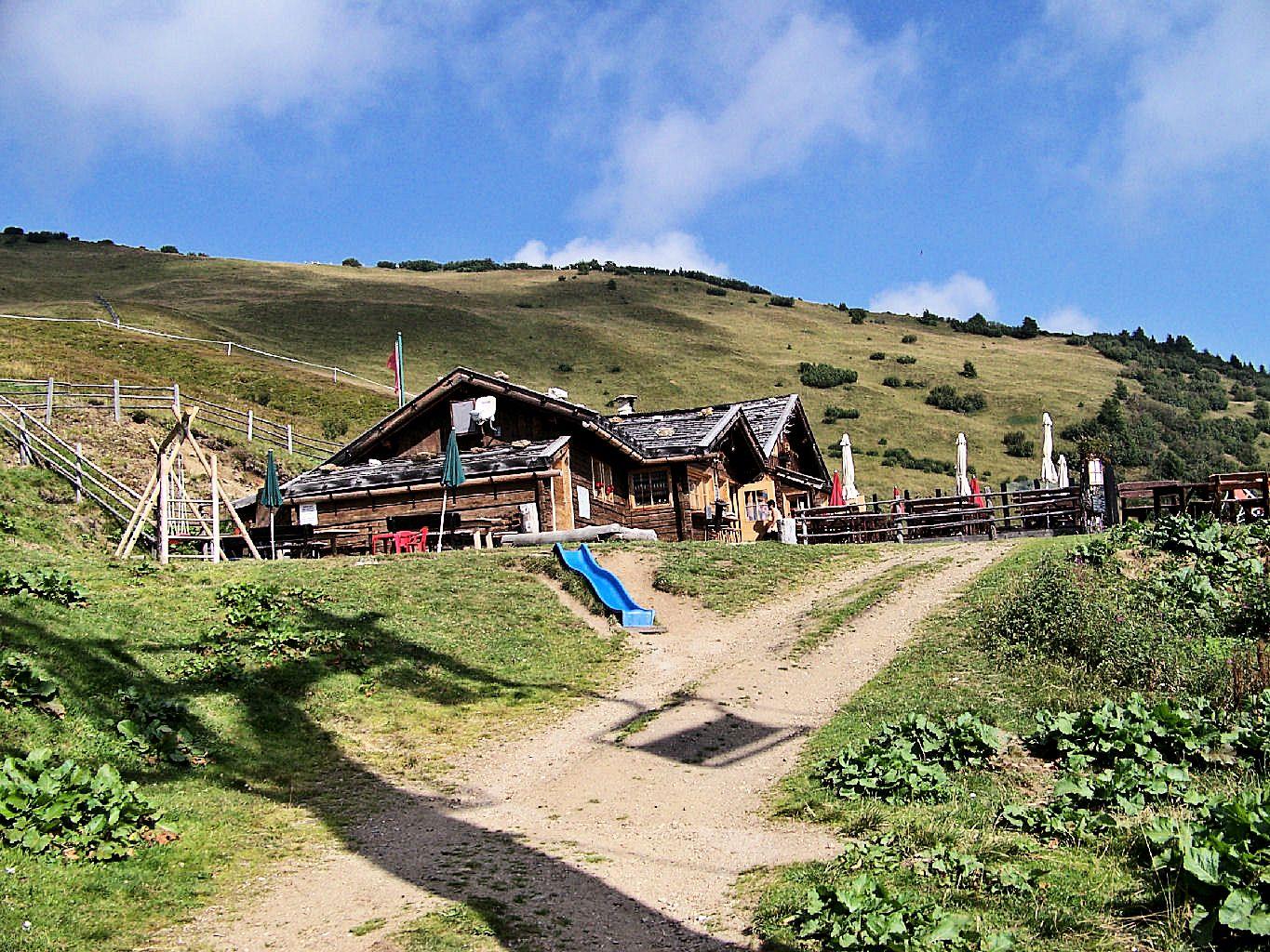
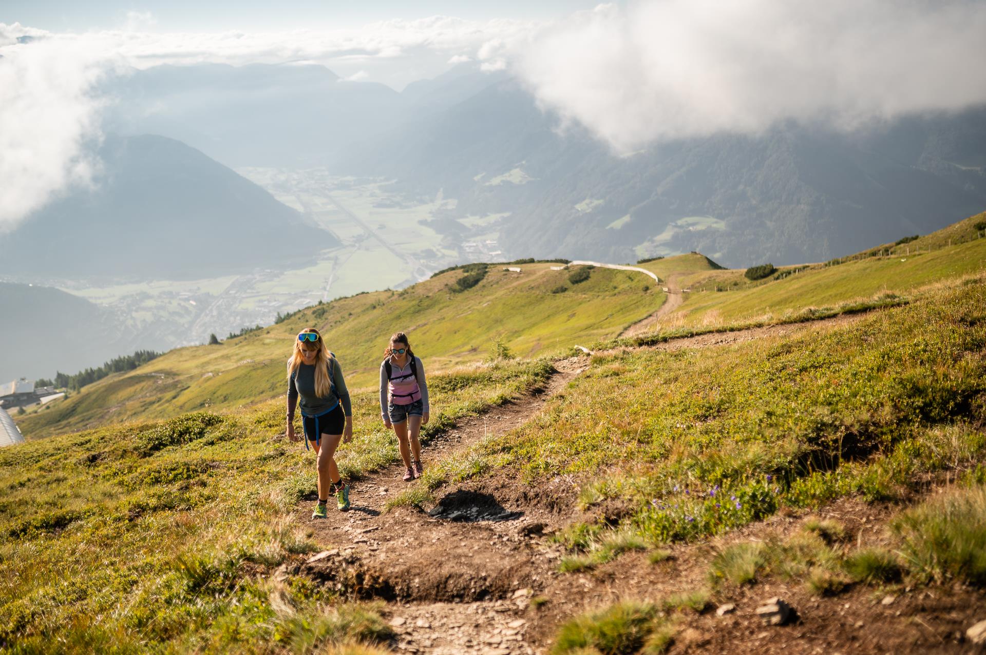
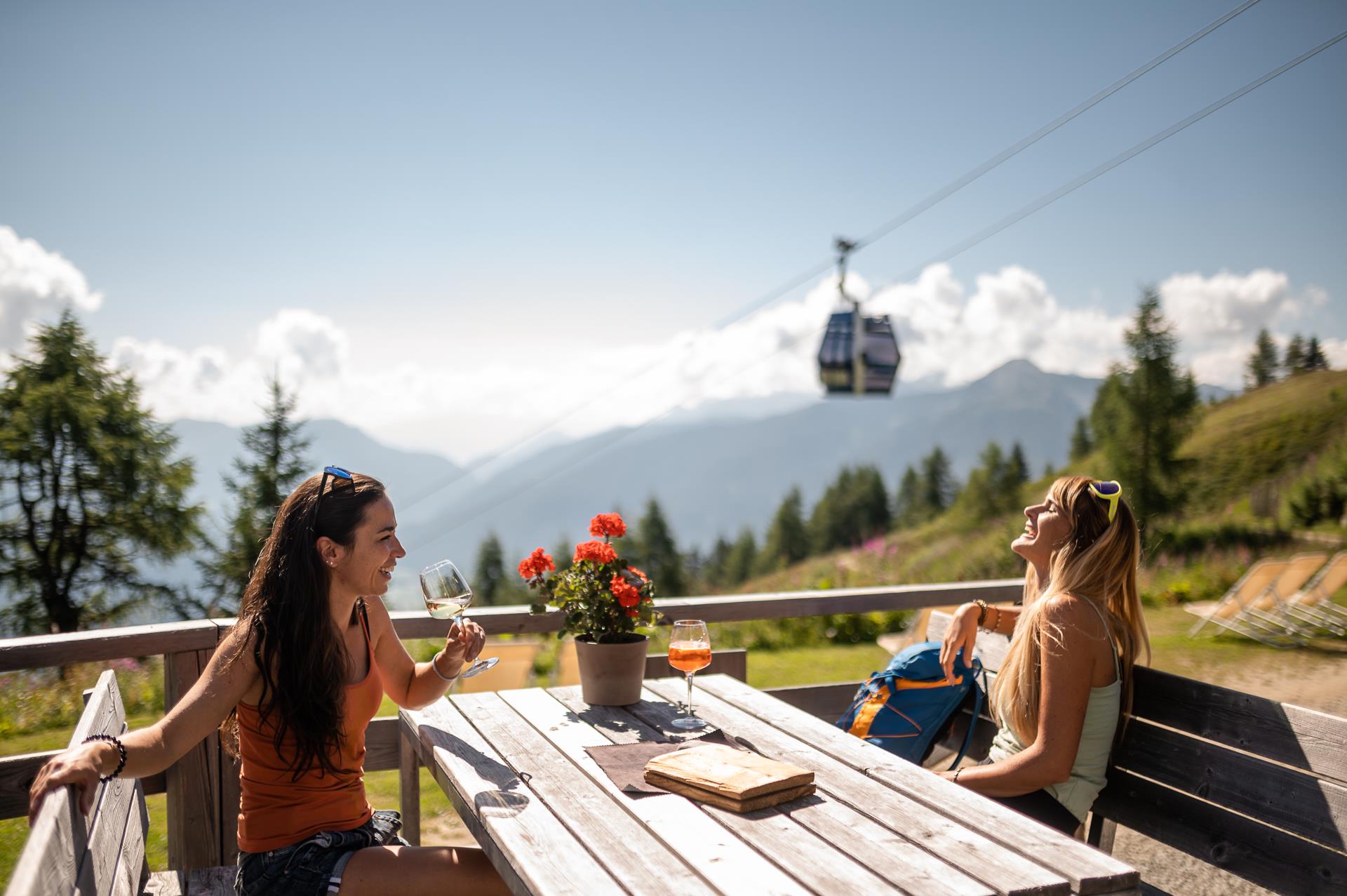
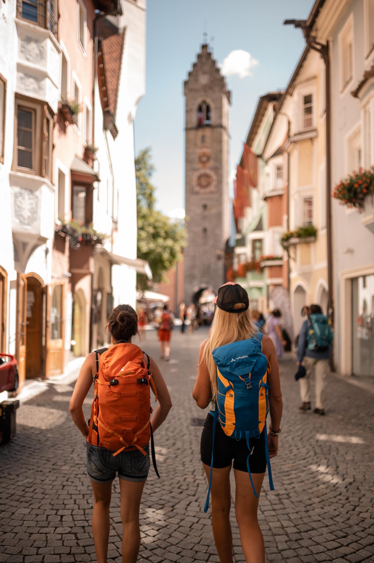


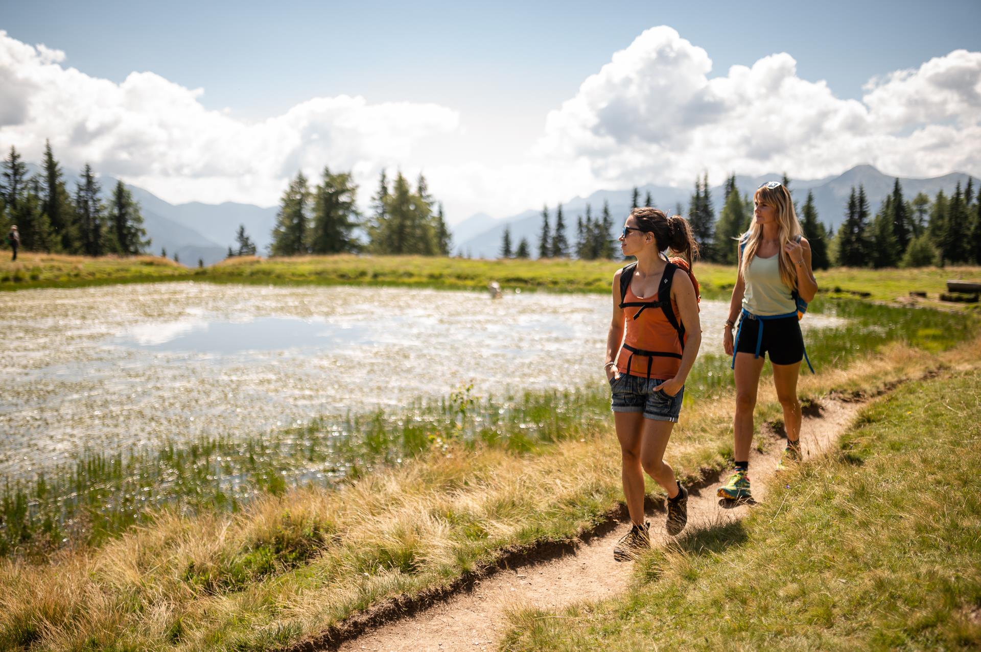
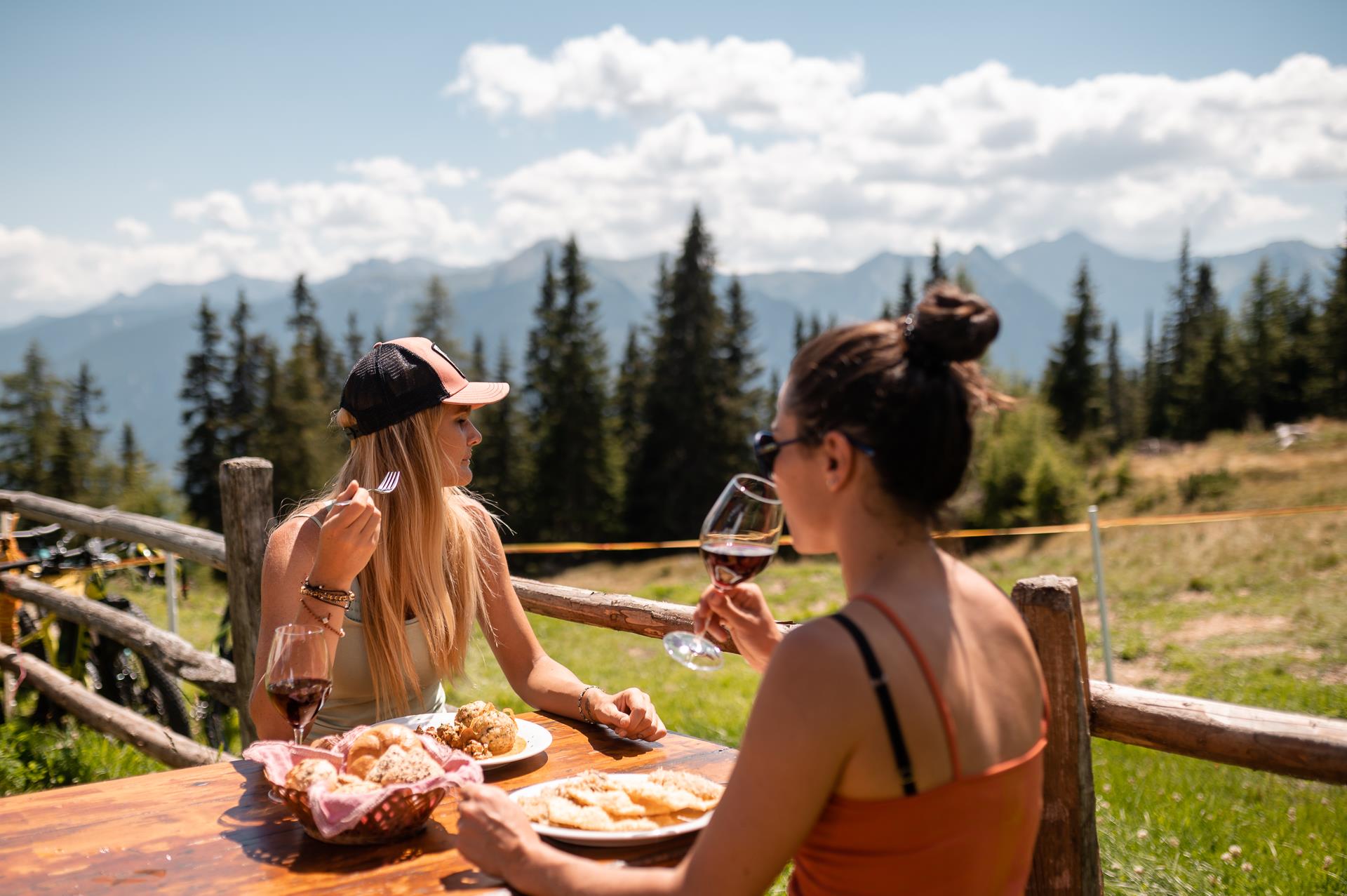


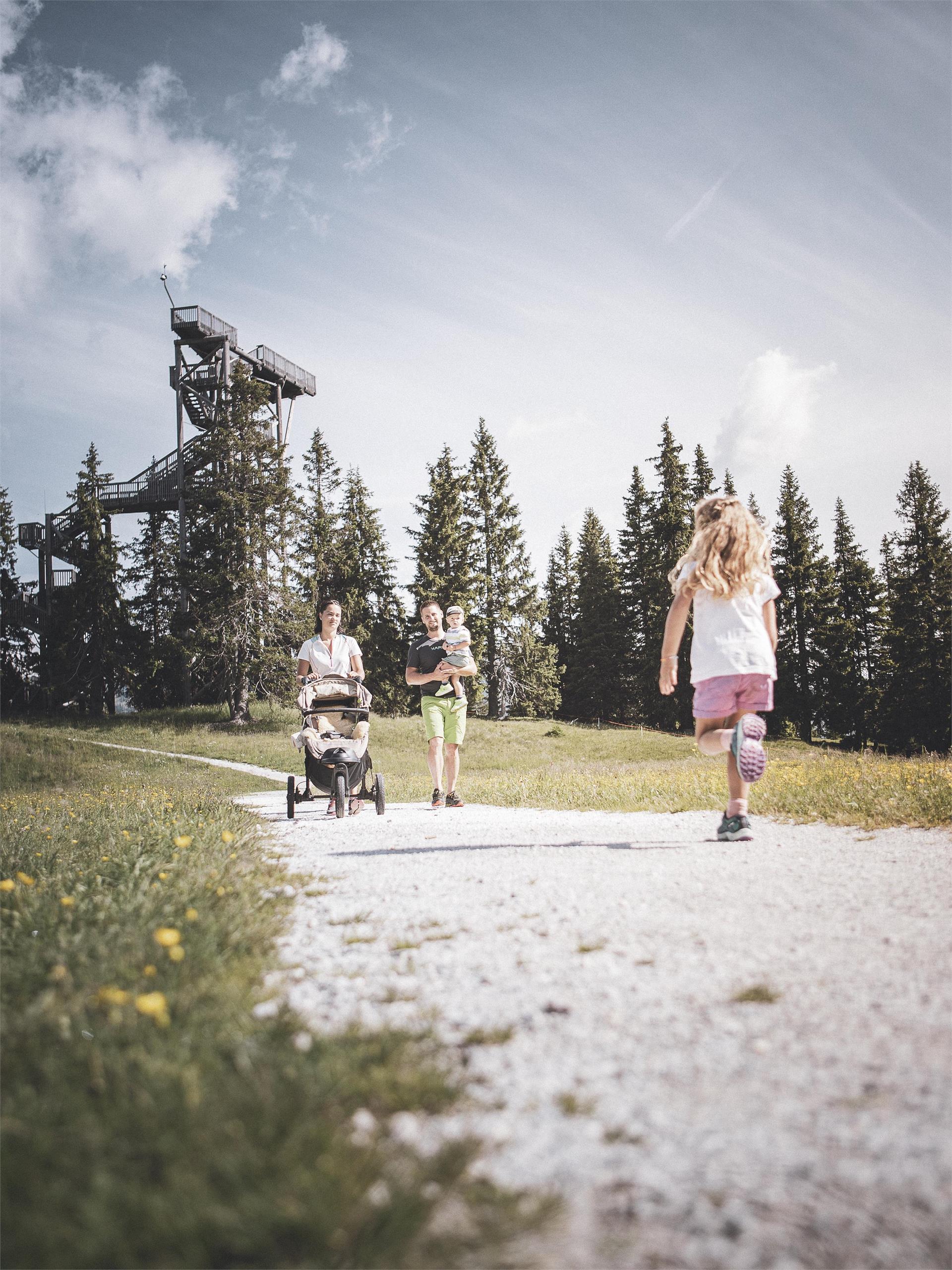

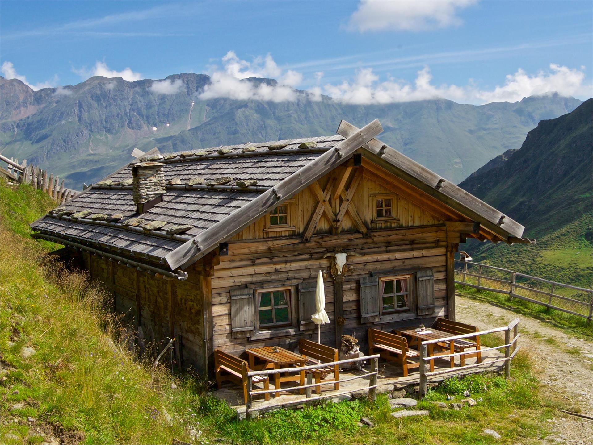
Von Bauern bearbeitetes Kulturland, blühende Almwiesen und stolze Gipfel bilden die Kulisse dieser 33 Wandertipps im Eisacktal . Diese von den jeweiligen Ferienorten ausgewählten Rundwege führen durch mediterrane Landstriche und alpine Regionen. Start und Endpunkt befinden sich an derselben Stelle, Wegverlauf und Gehzeit variieren. Entlang des Weges laden Kunst- und Naturdenkmäler, kulturelle Sehenswürdigkeiten, Aussichtsplätze und urige Hütten zum Innehalten.
Themed Hikes
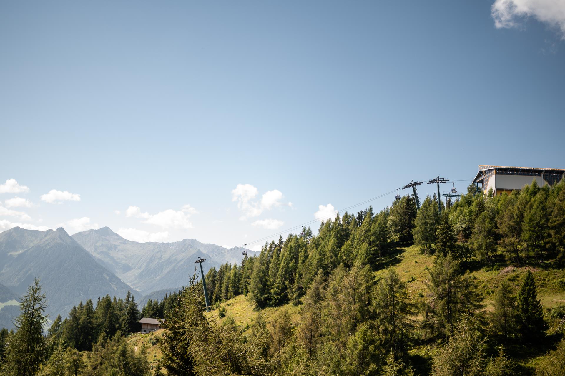
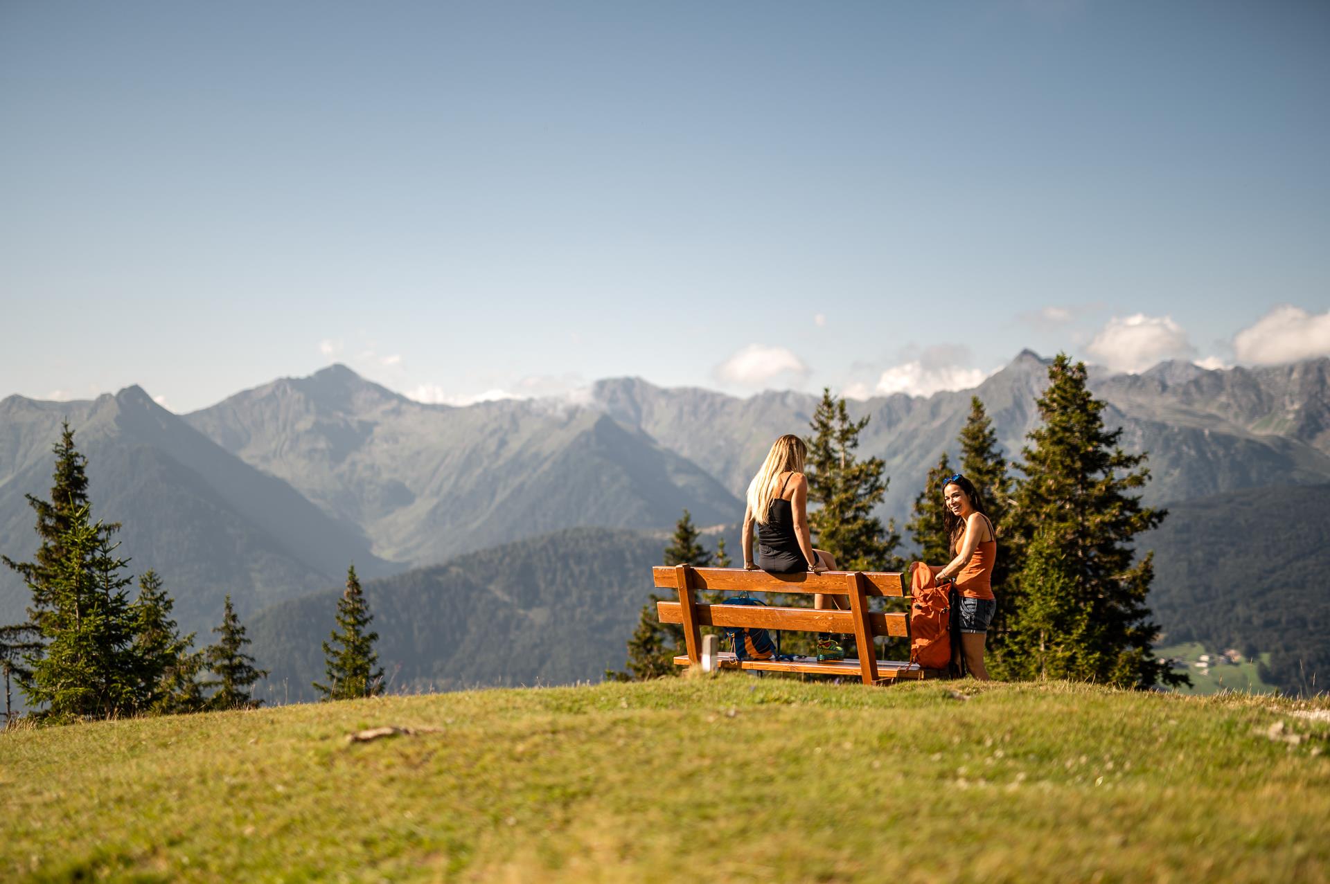
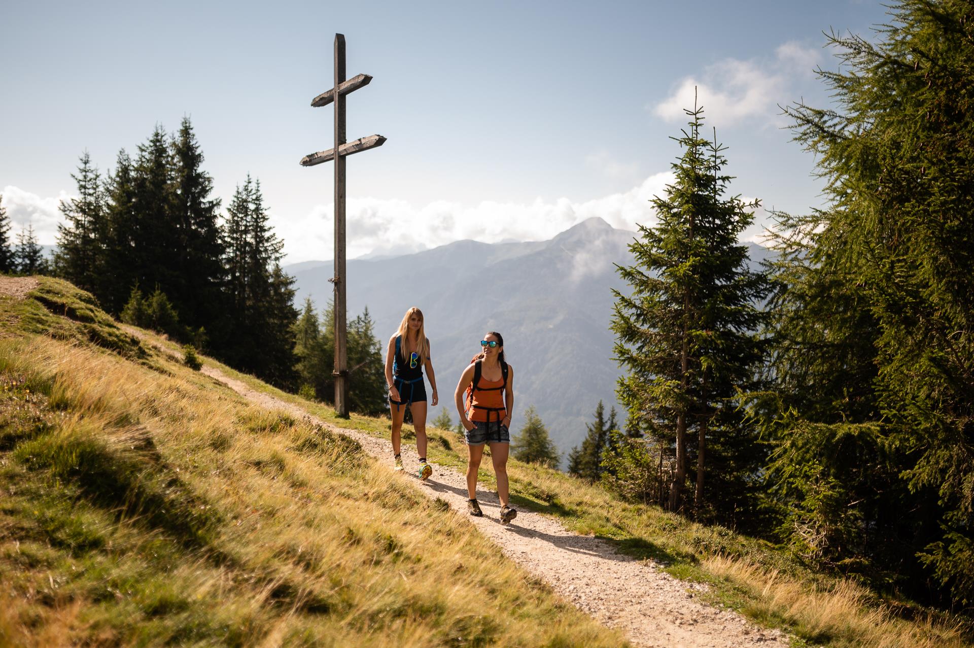
Ratschings/Racines, Sterzing/Vipiteno and environs
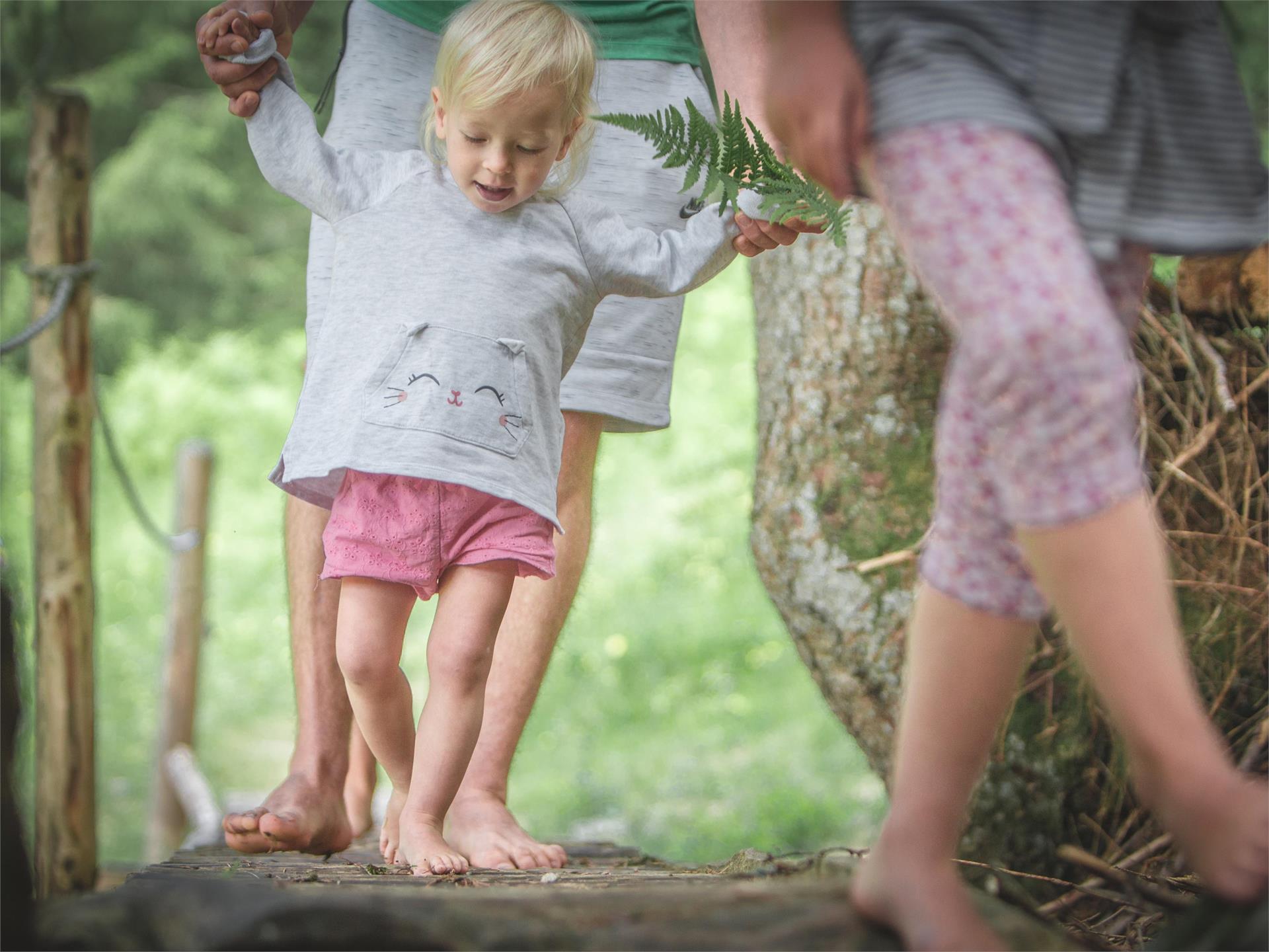
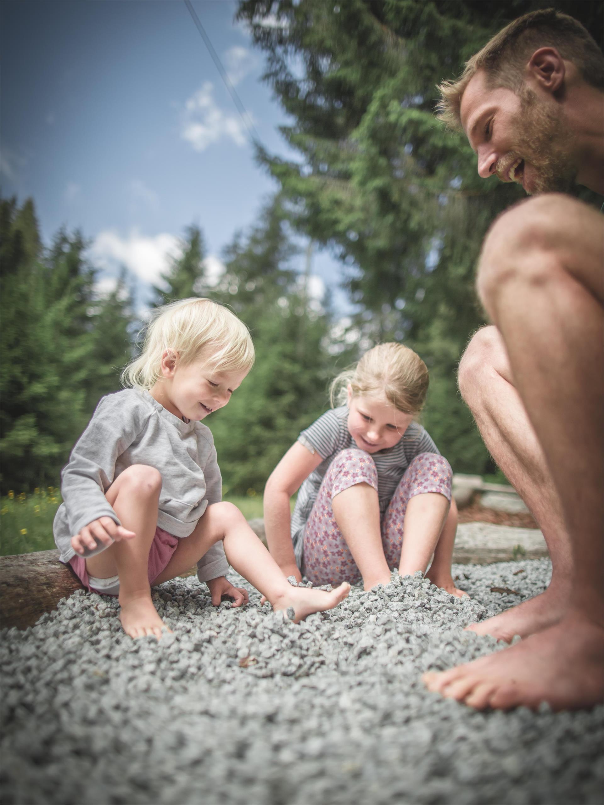
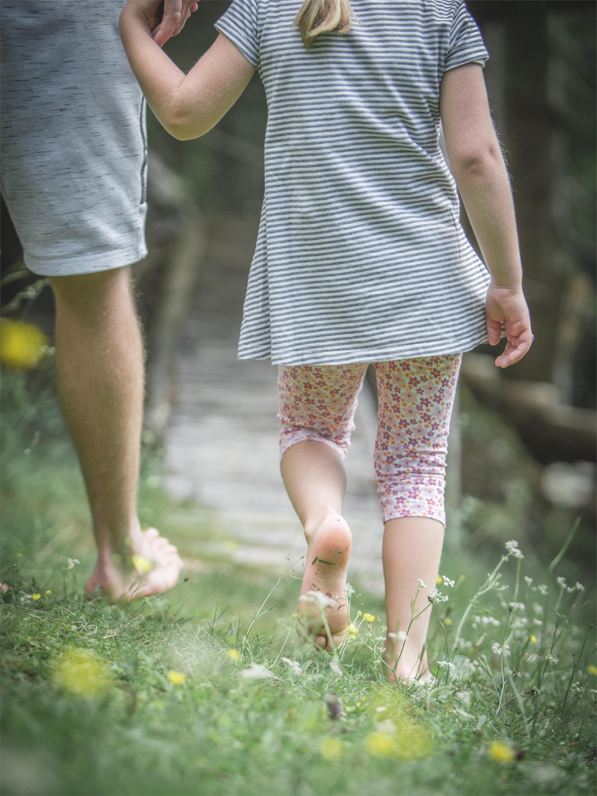
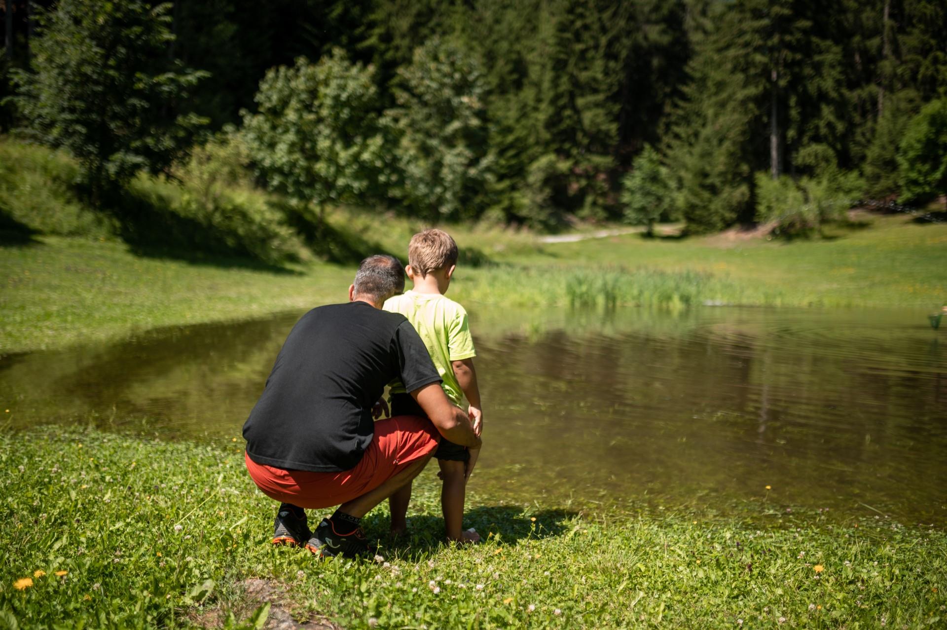
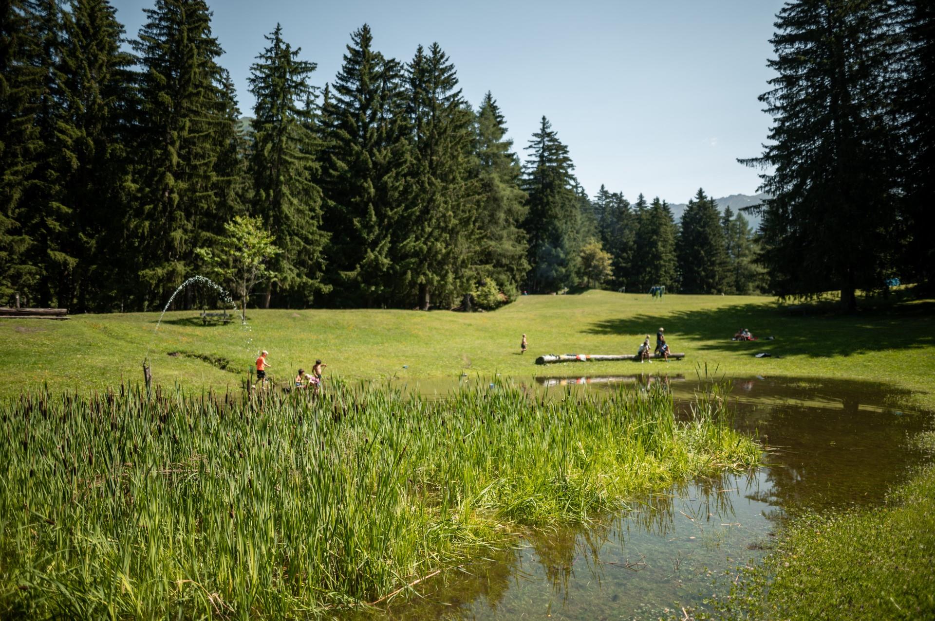
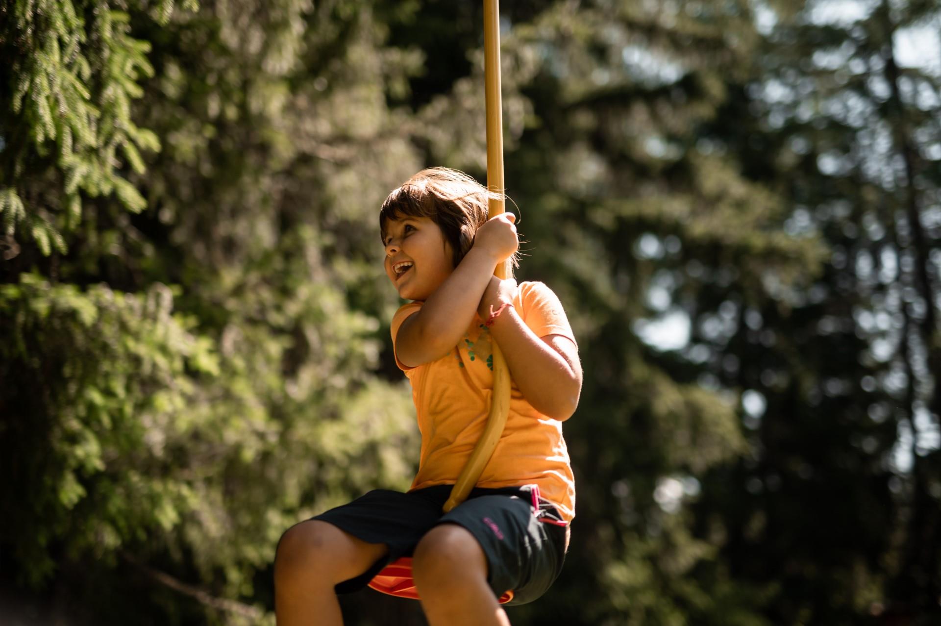
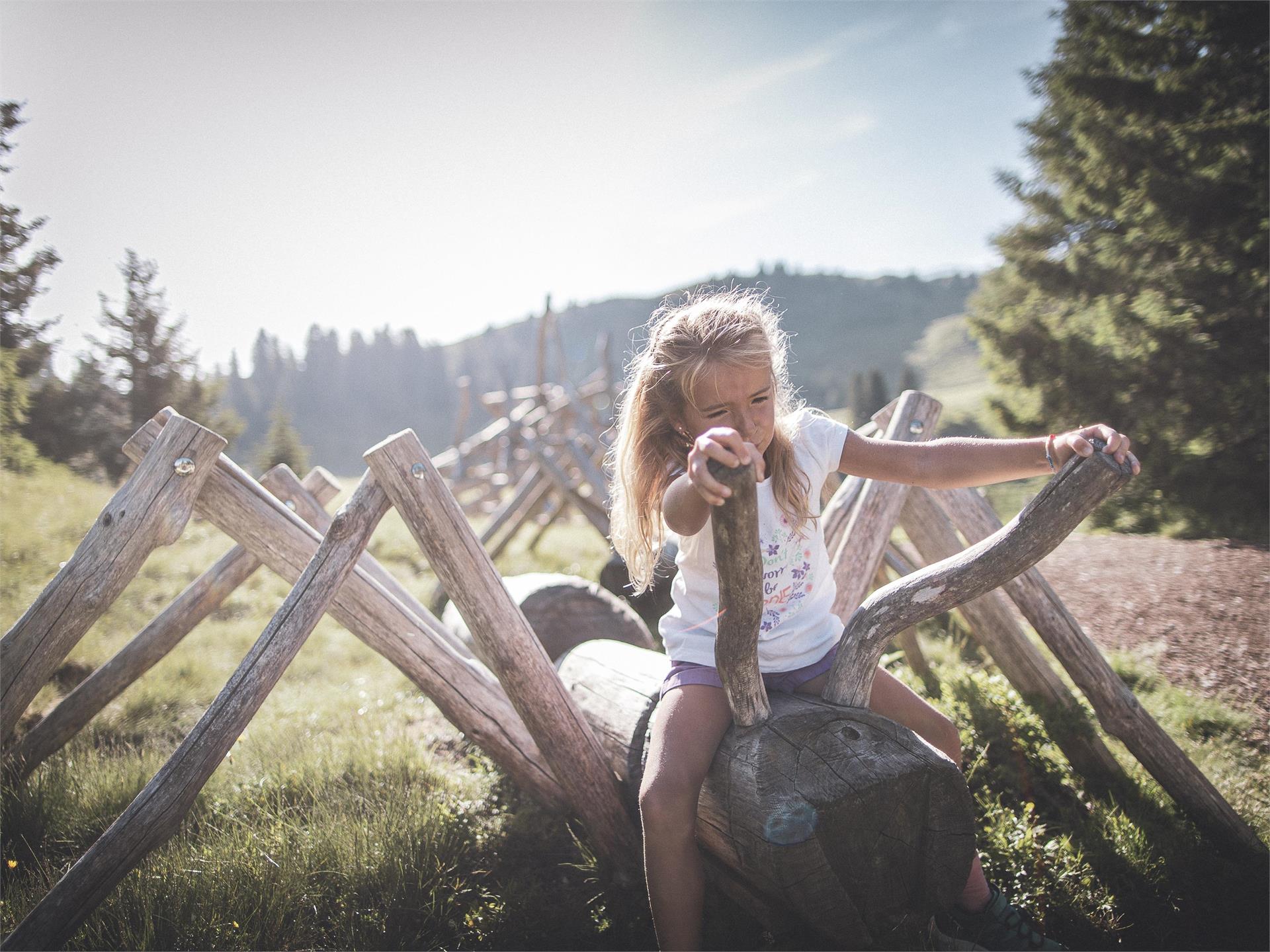
“Feel nature” – is literally the aim of the ca. 400m long barefoot path at Ratschings/Racines. Barefoot through nature, feeling fully aware different materials, like grass, sand, pebbles, marble of Ratschings, wood in all types and the natural forest soil and its quality. Try out the difference between rough and pleasant materials, the equilibration by balancing and enjoy a natural foot reflexology at the Kneipp-route at the river Ratschingerbach with hot stones and cold water. Walk barefoot is a sensual pleasure for old and young and provides significant health benefits, stimulates the organism and our immune system.


