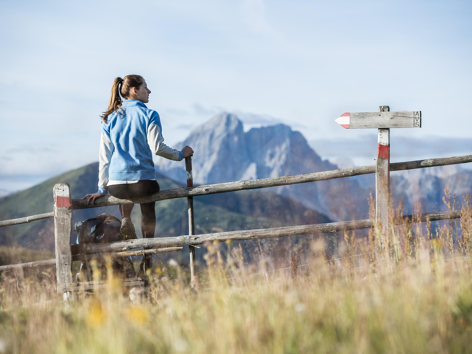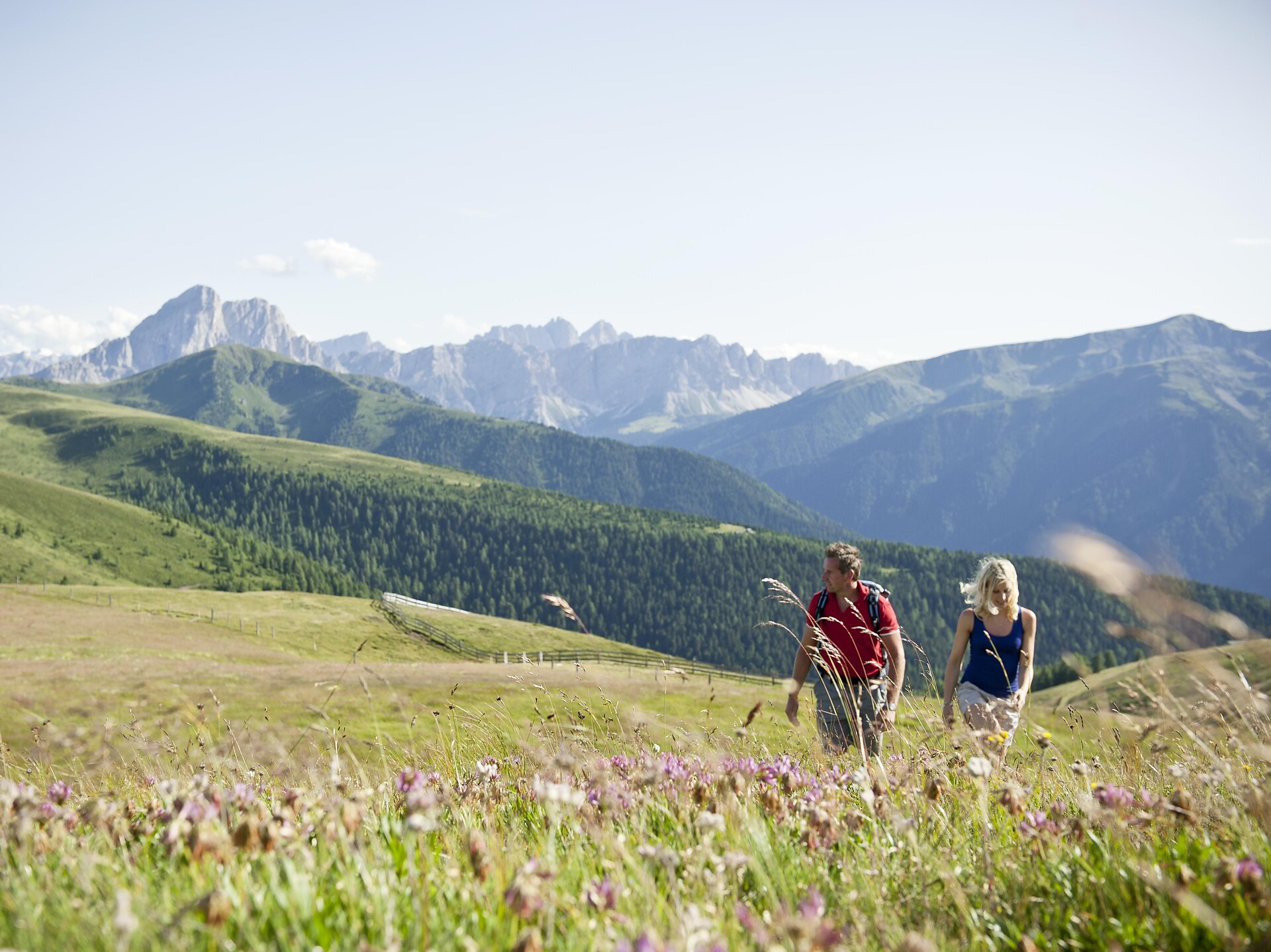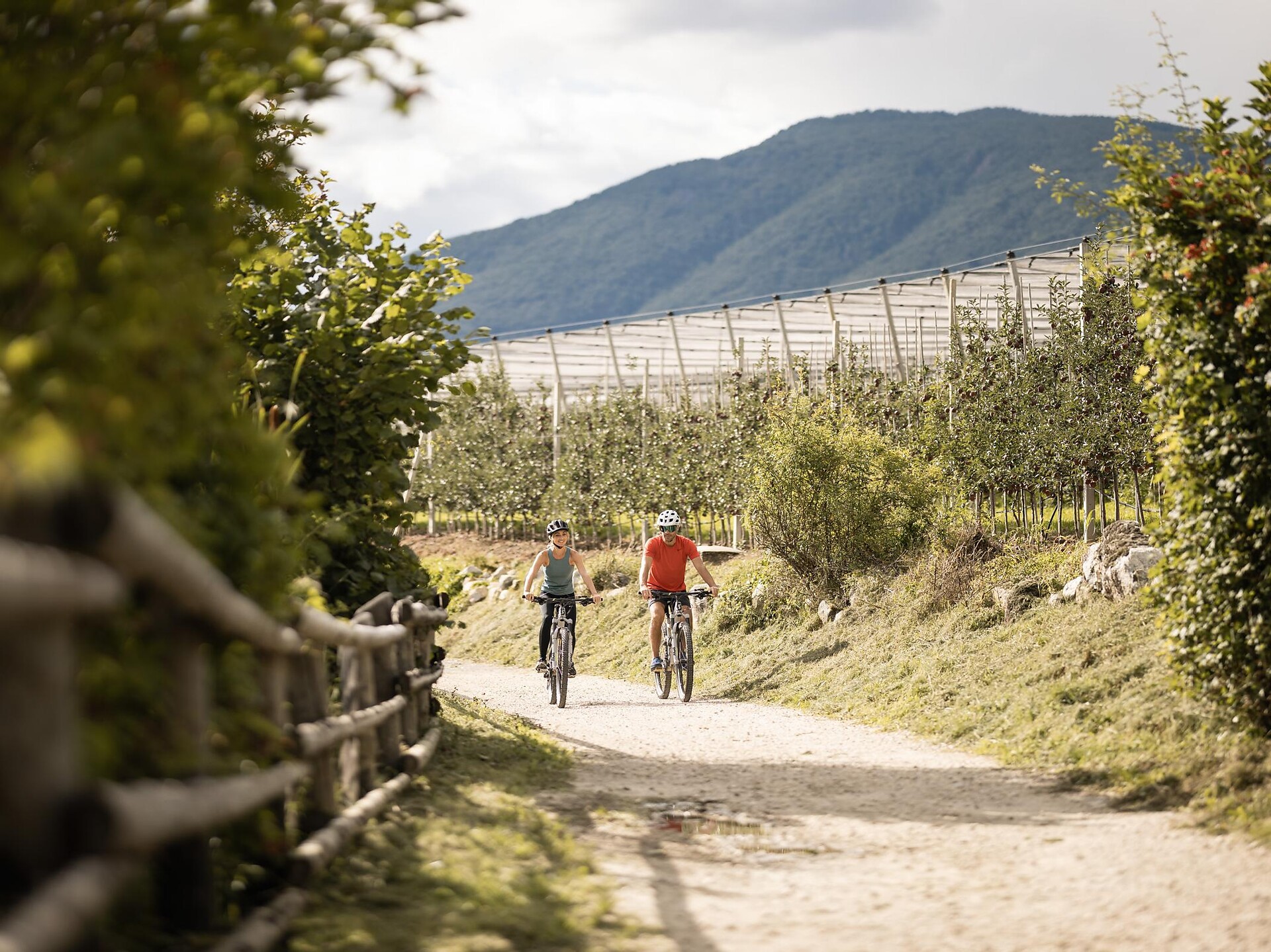
Hiking
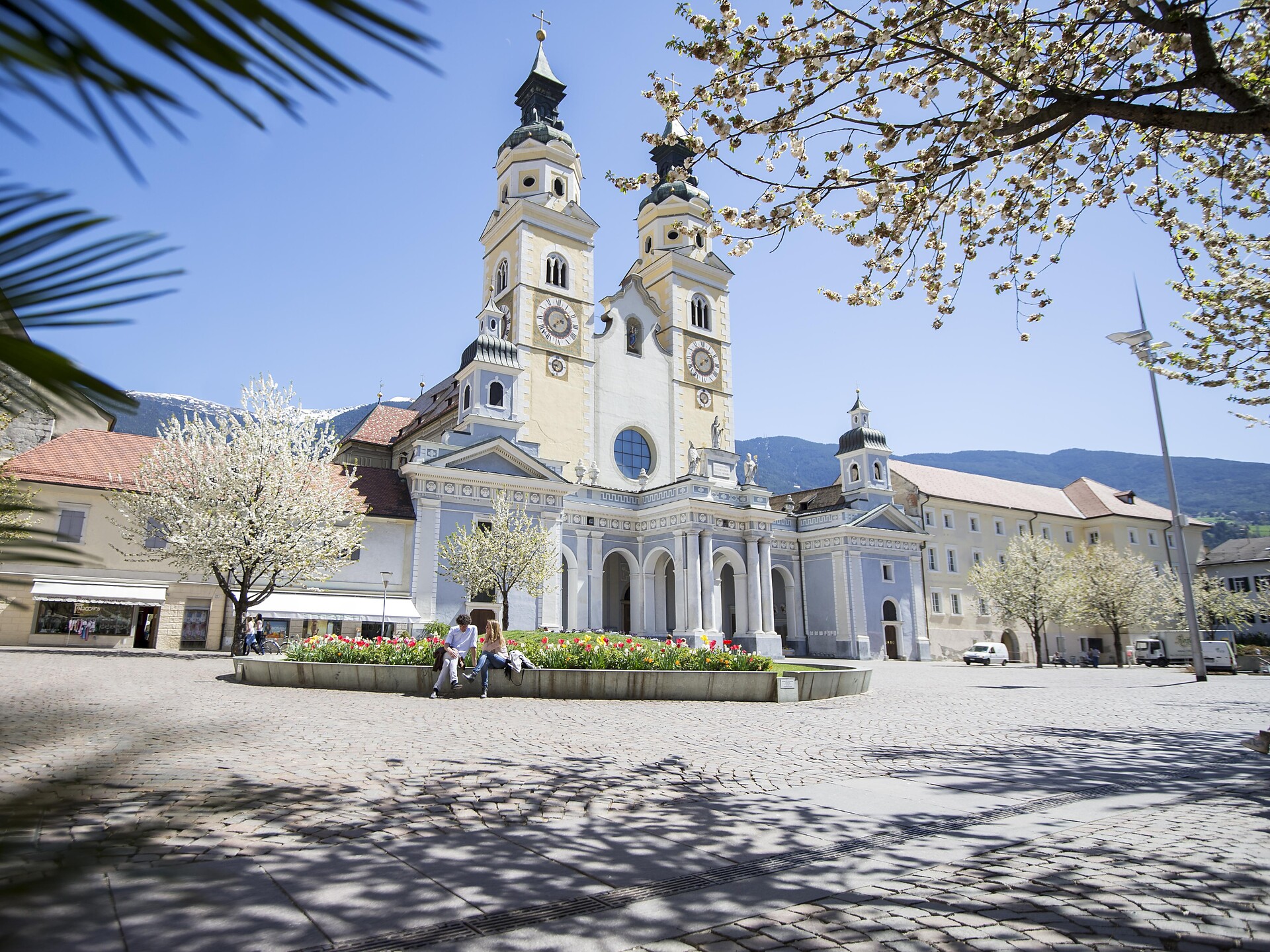
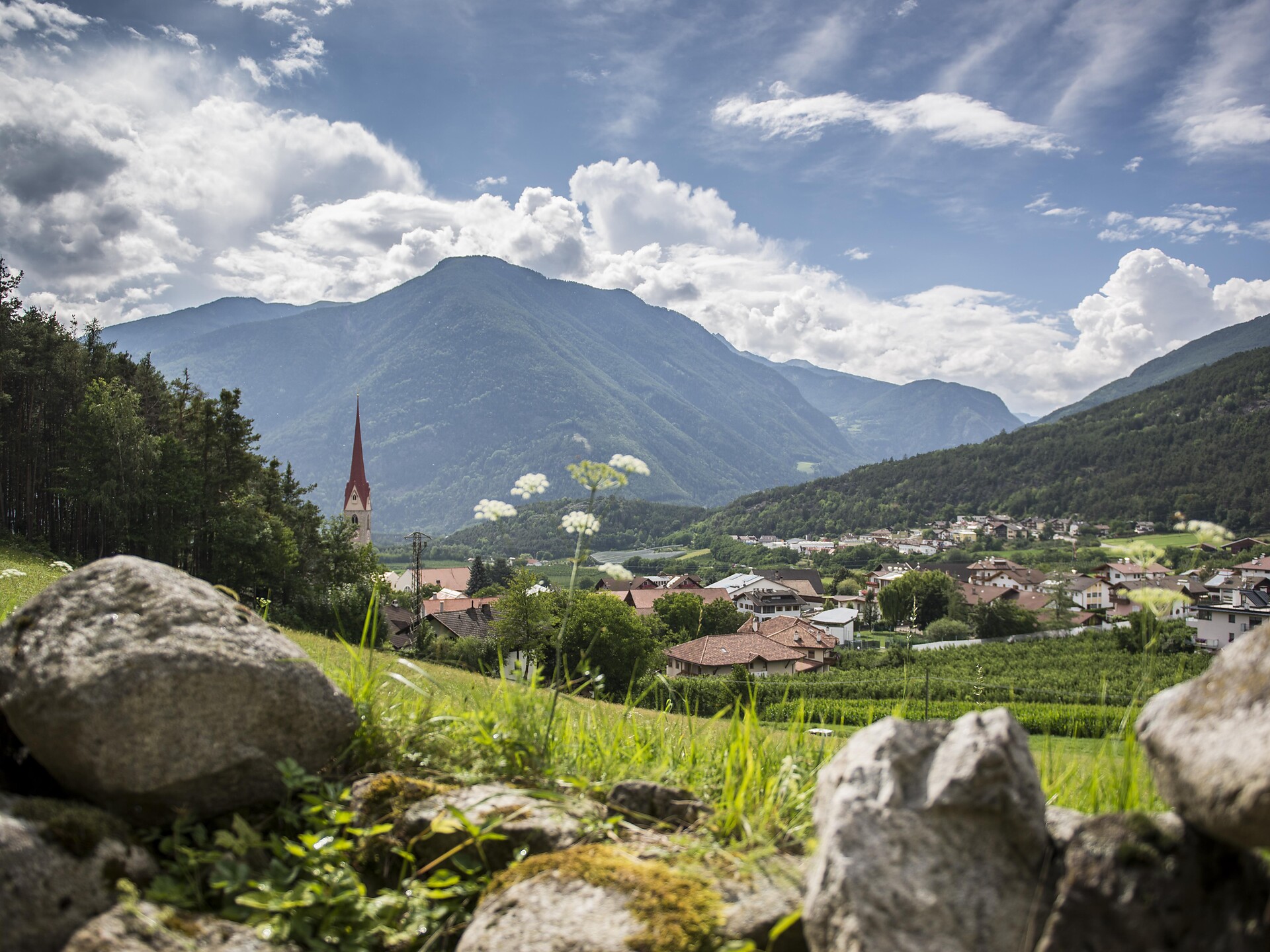
Villanders/Villandro, Brixen/Bressanone and environs
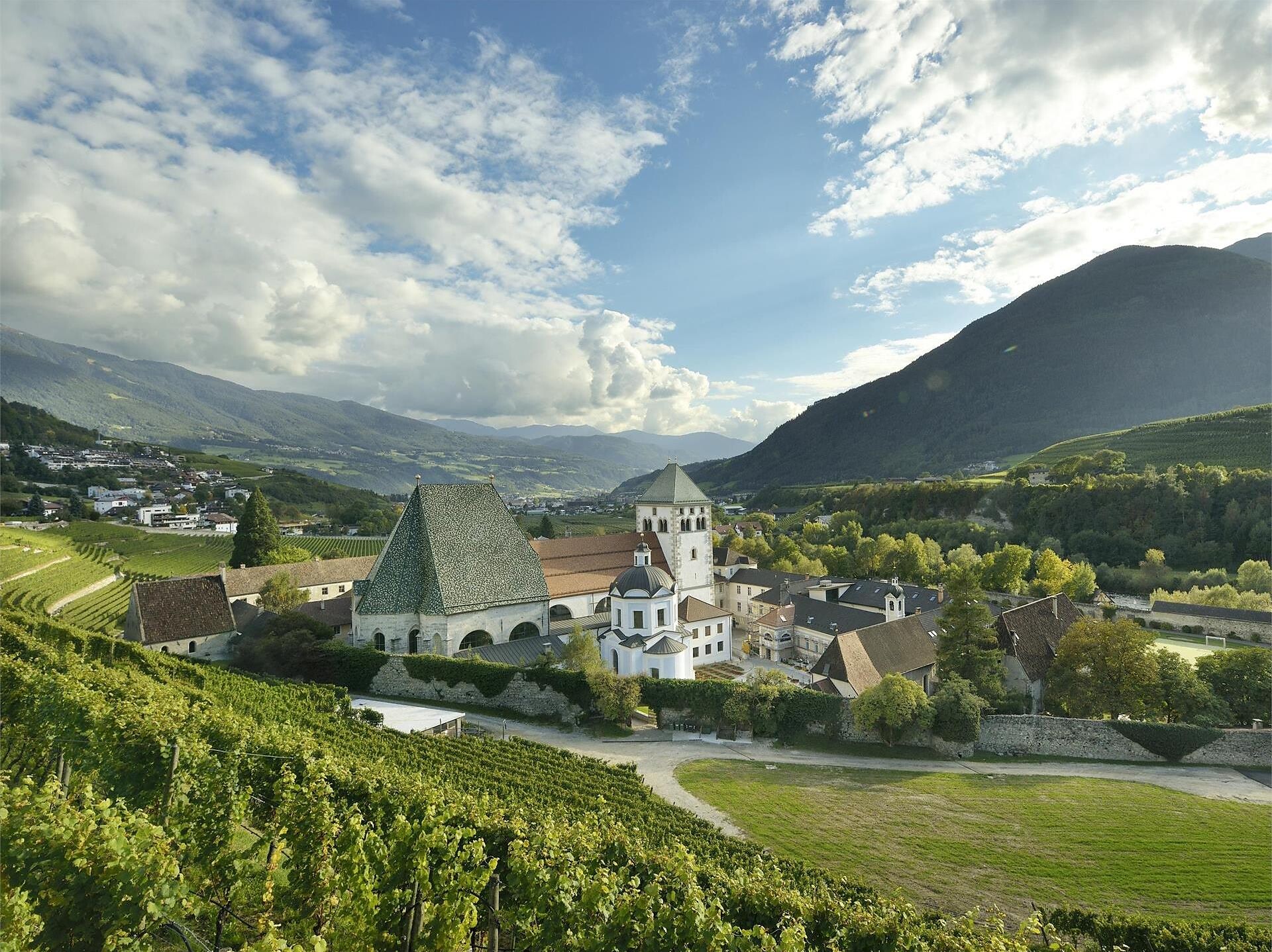
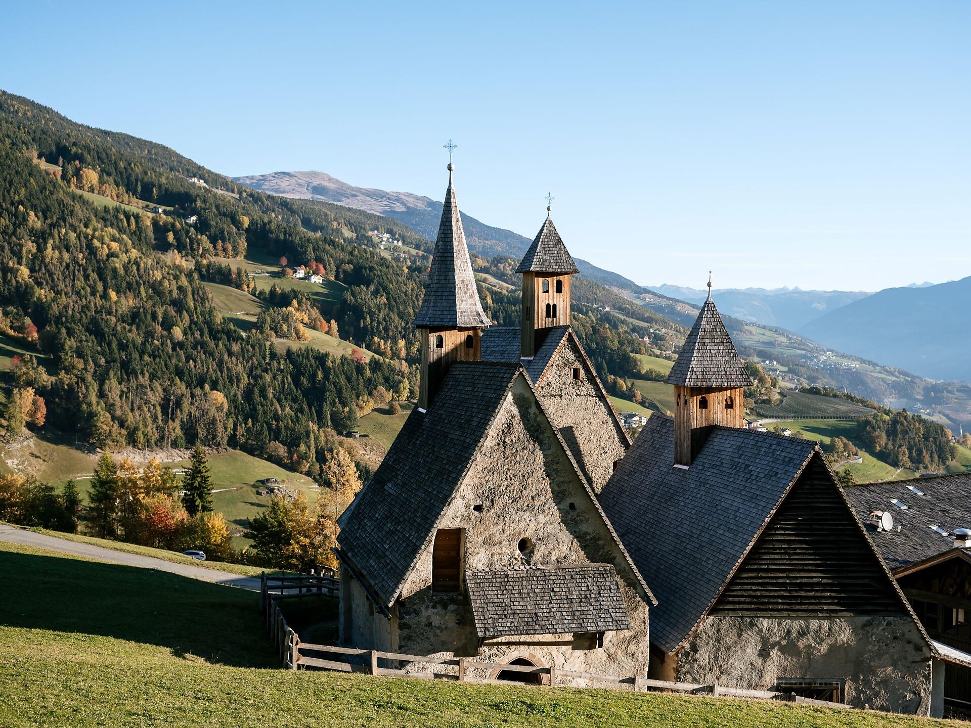
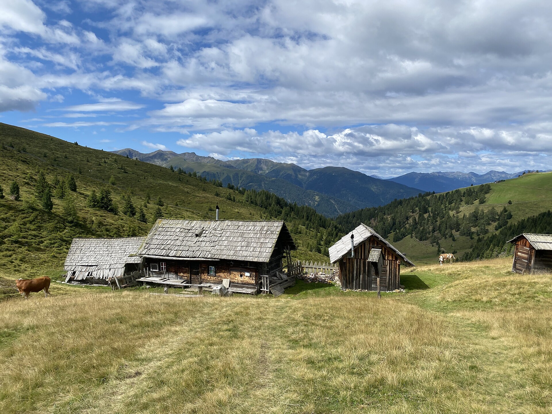
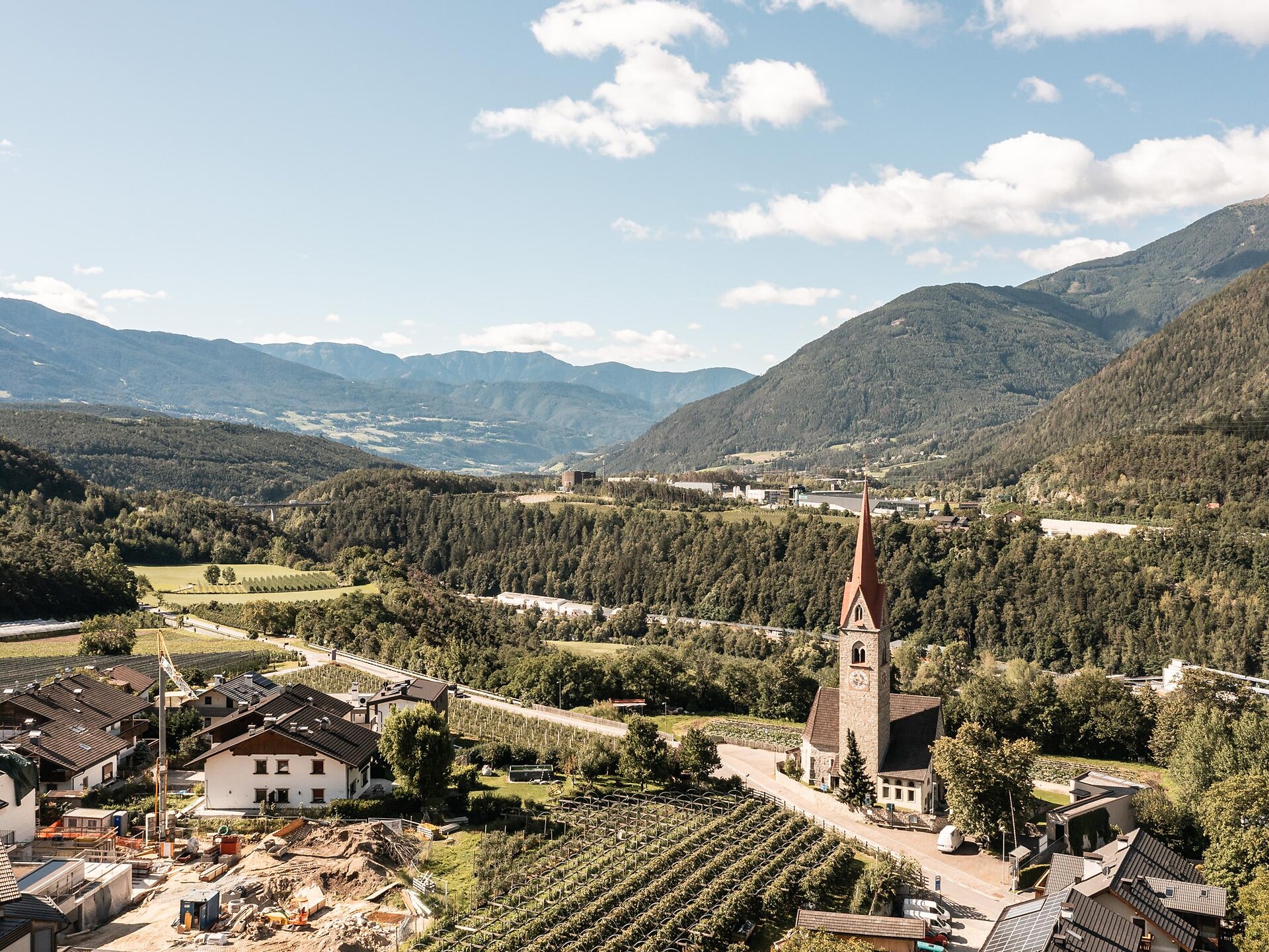
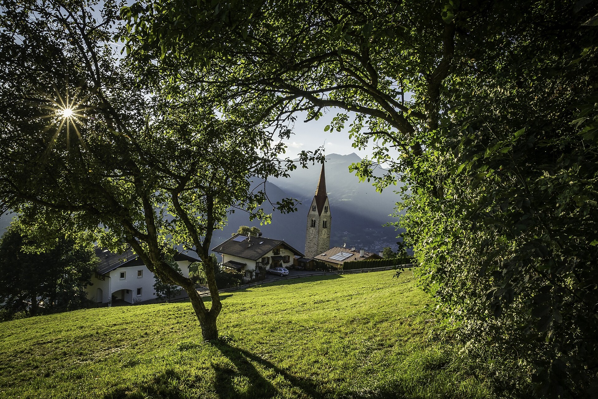
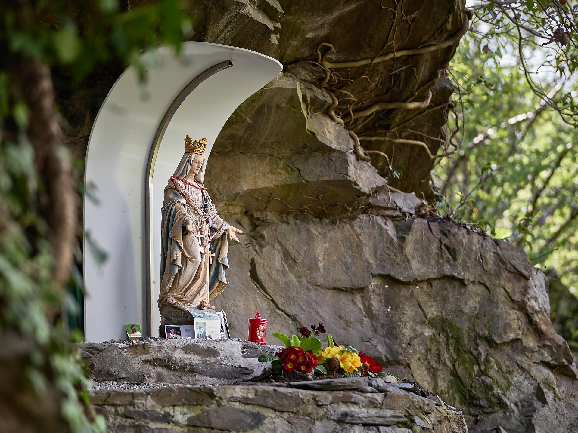
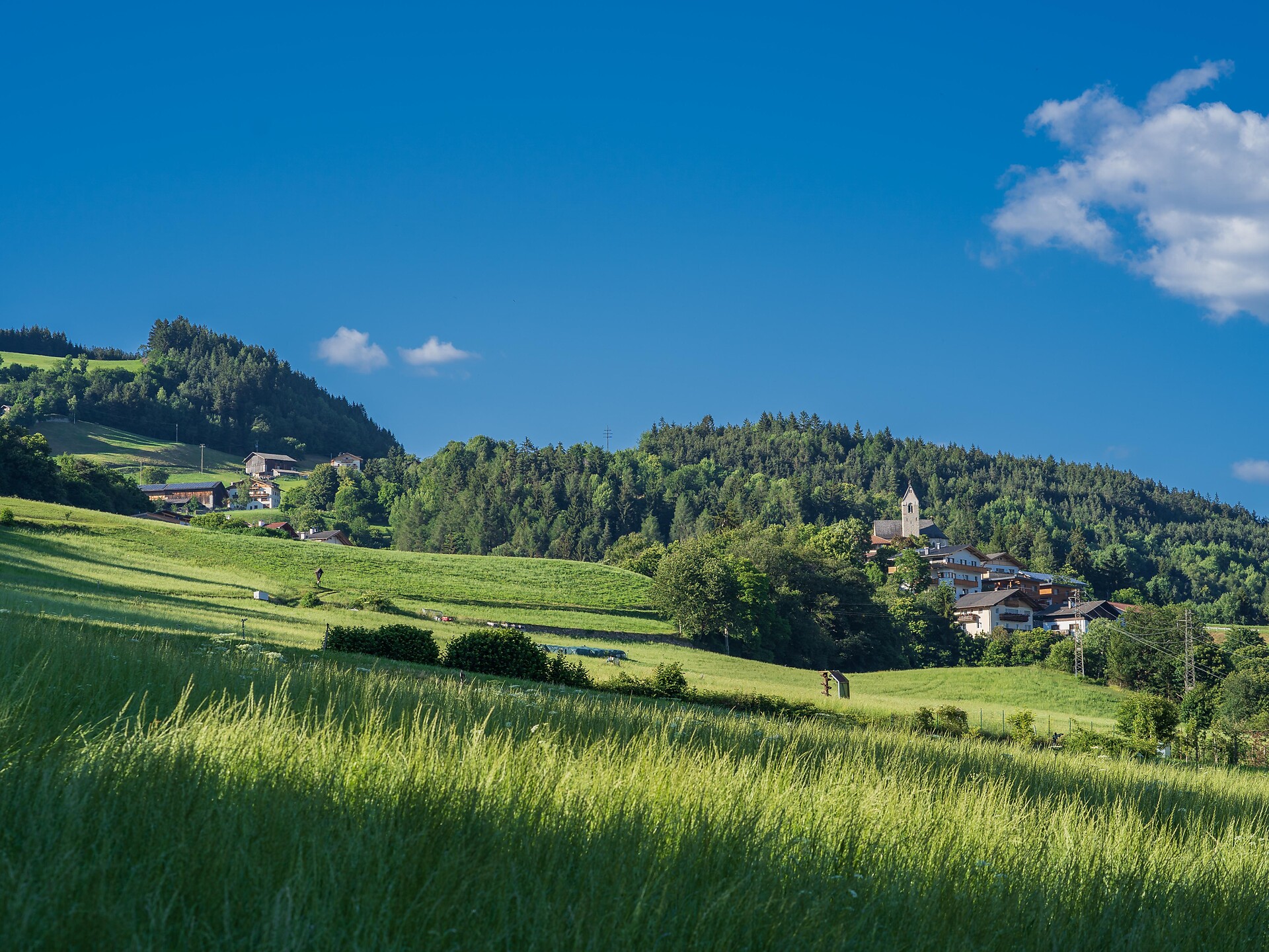
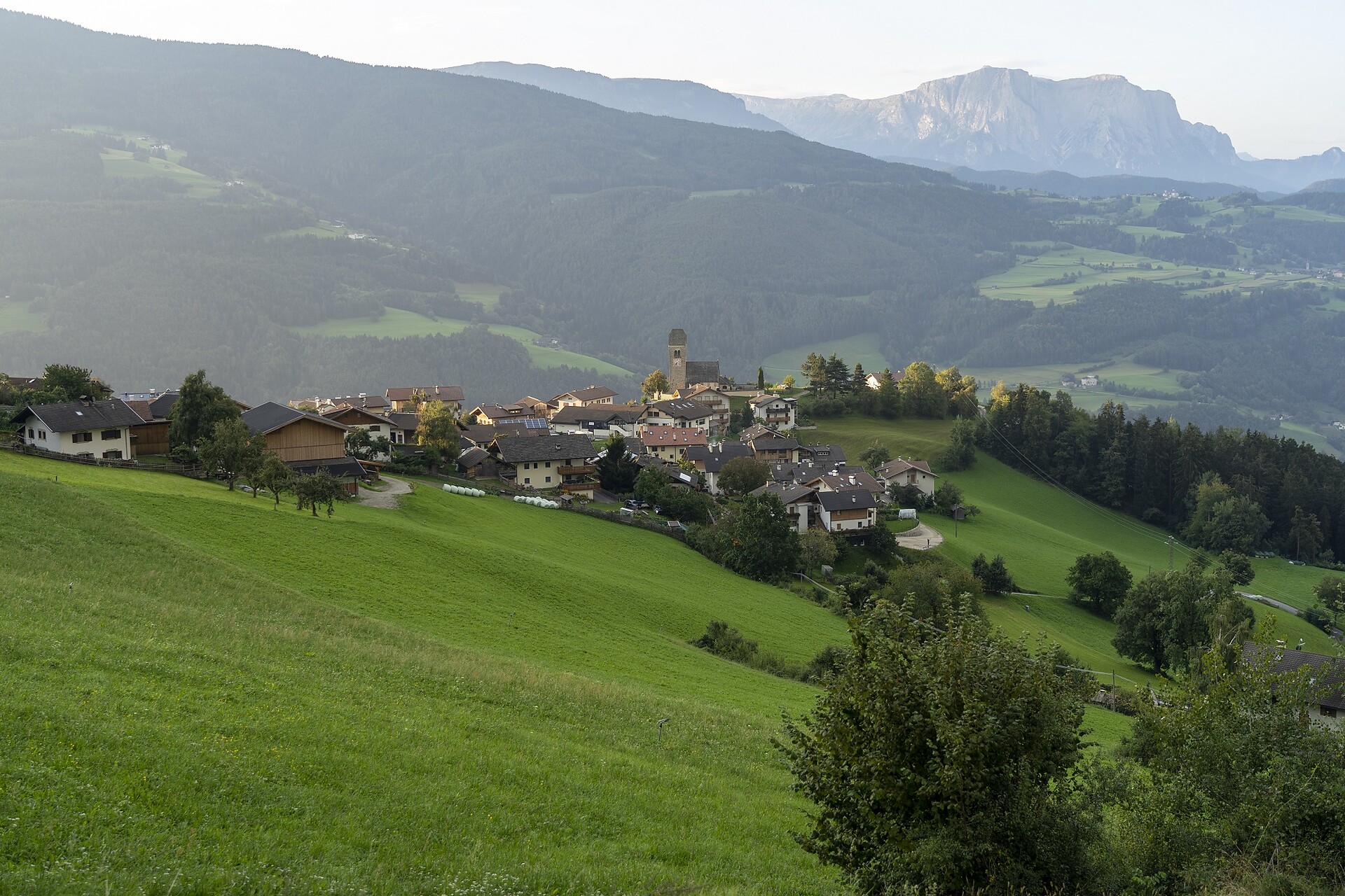
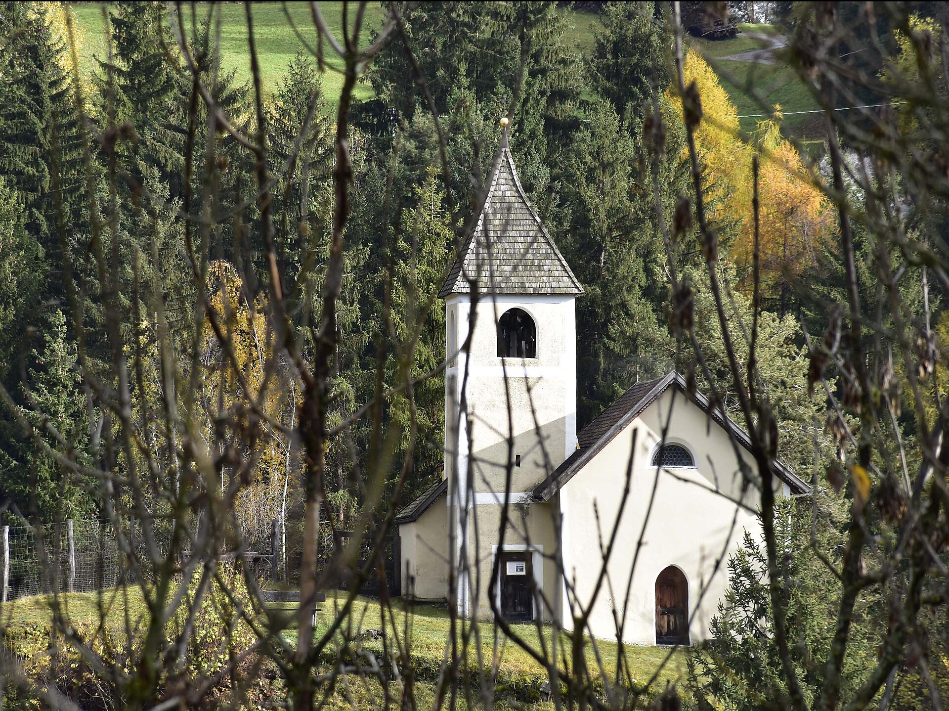
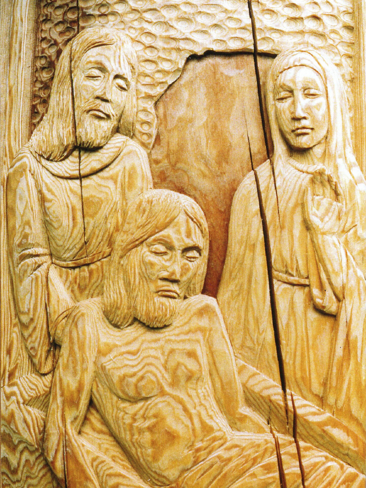
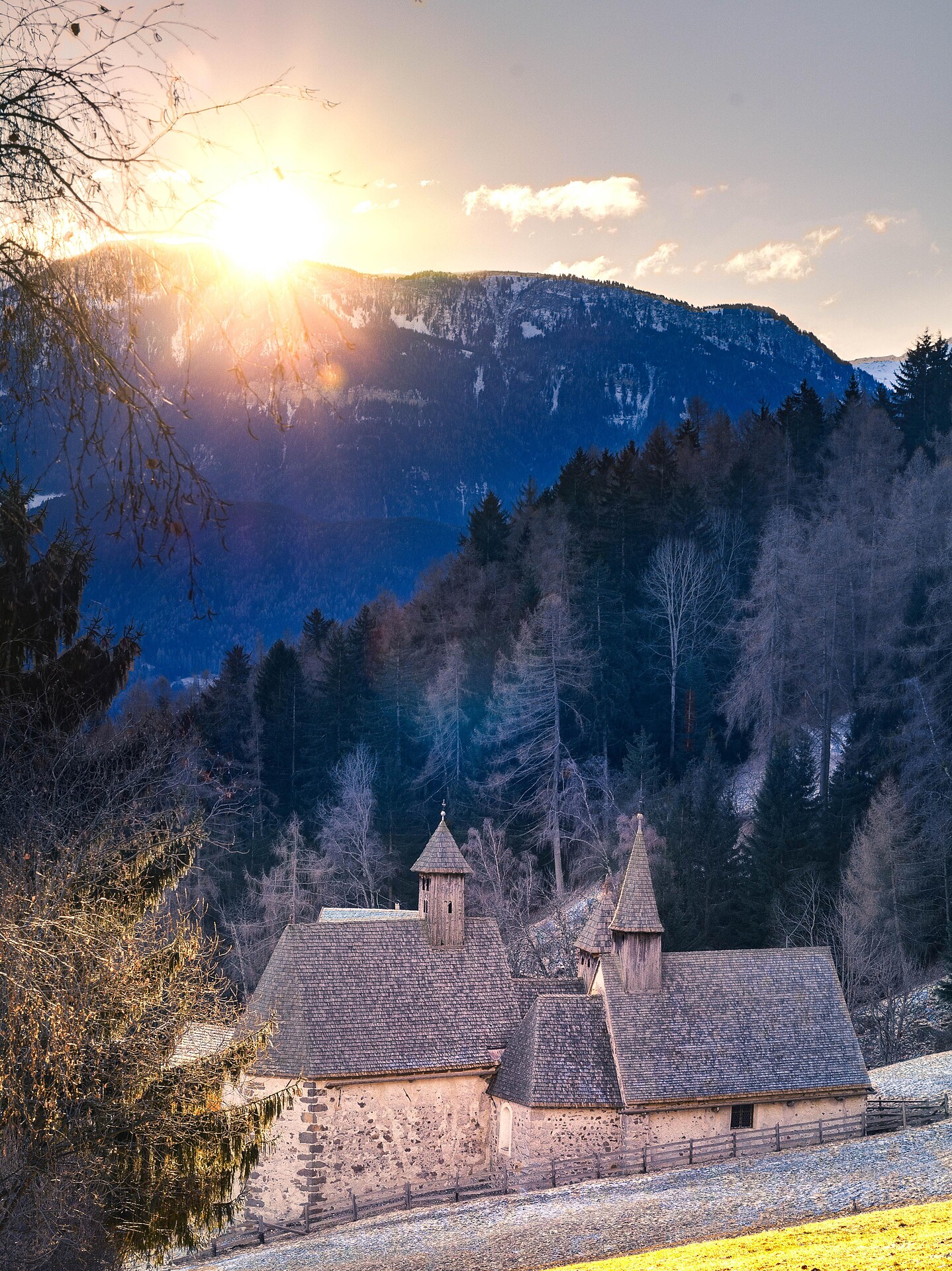
TRE CHURCHES - HISTORICAL PLACE - QUIET ATMOSPHERE - ESCURSION THROUGH WOODS
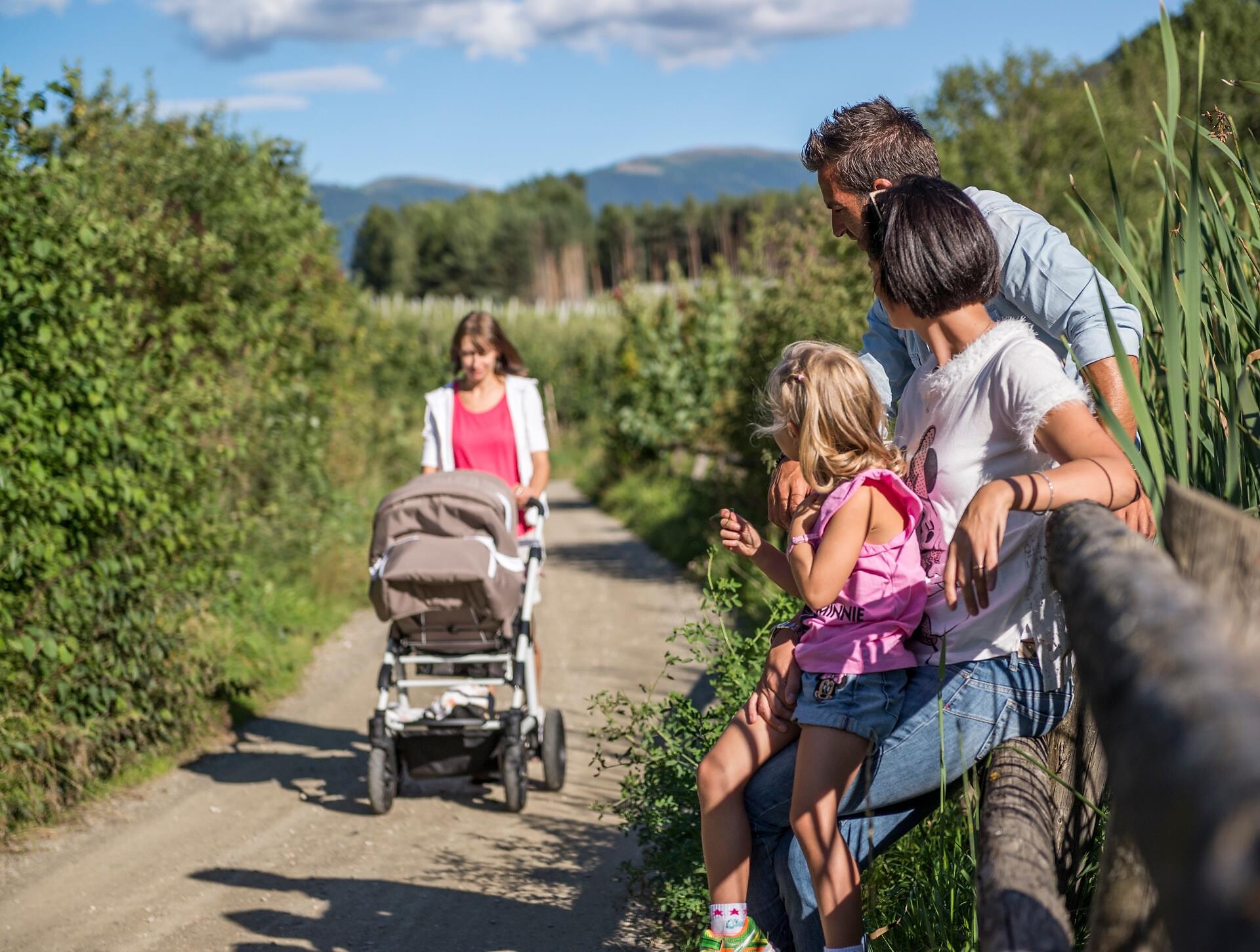
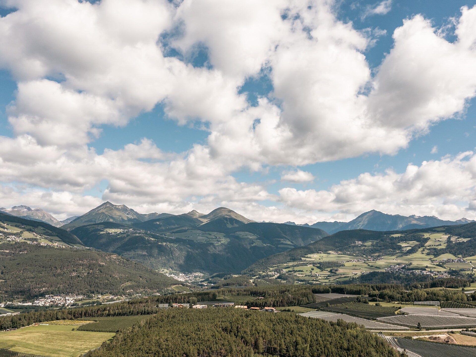
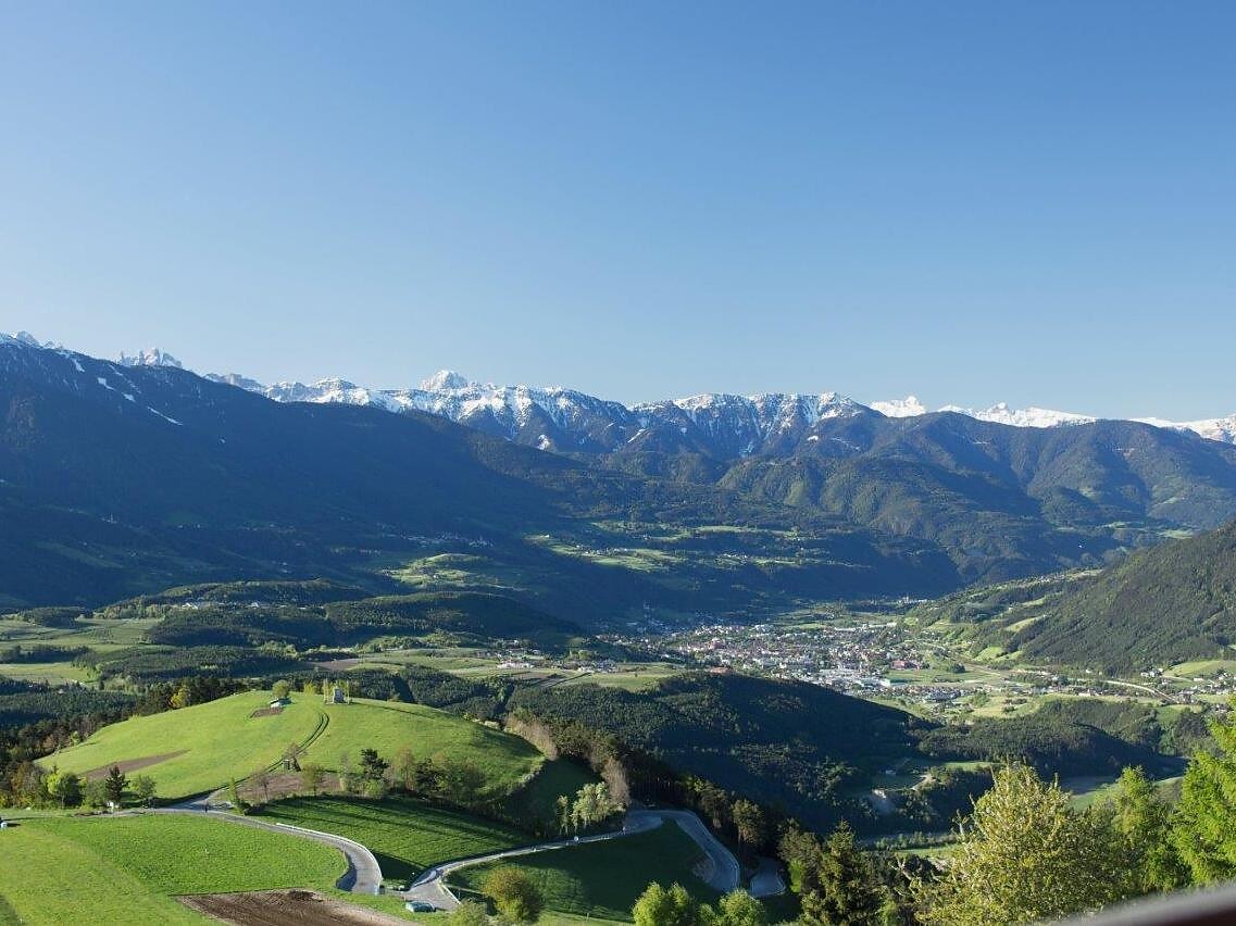
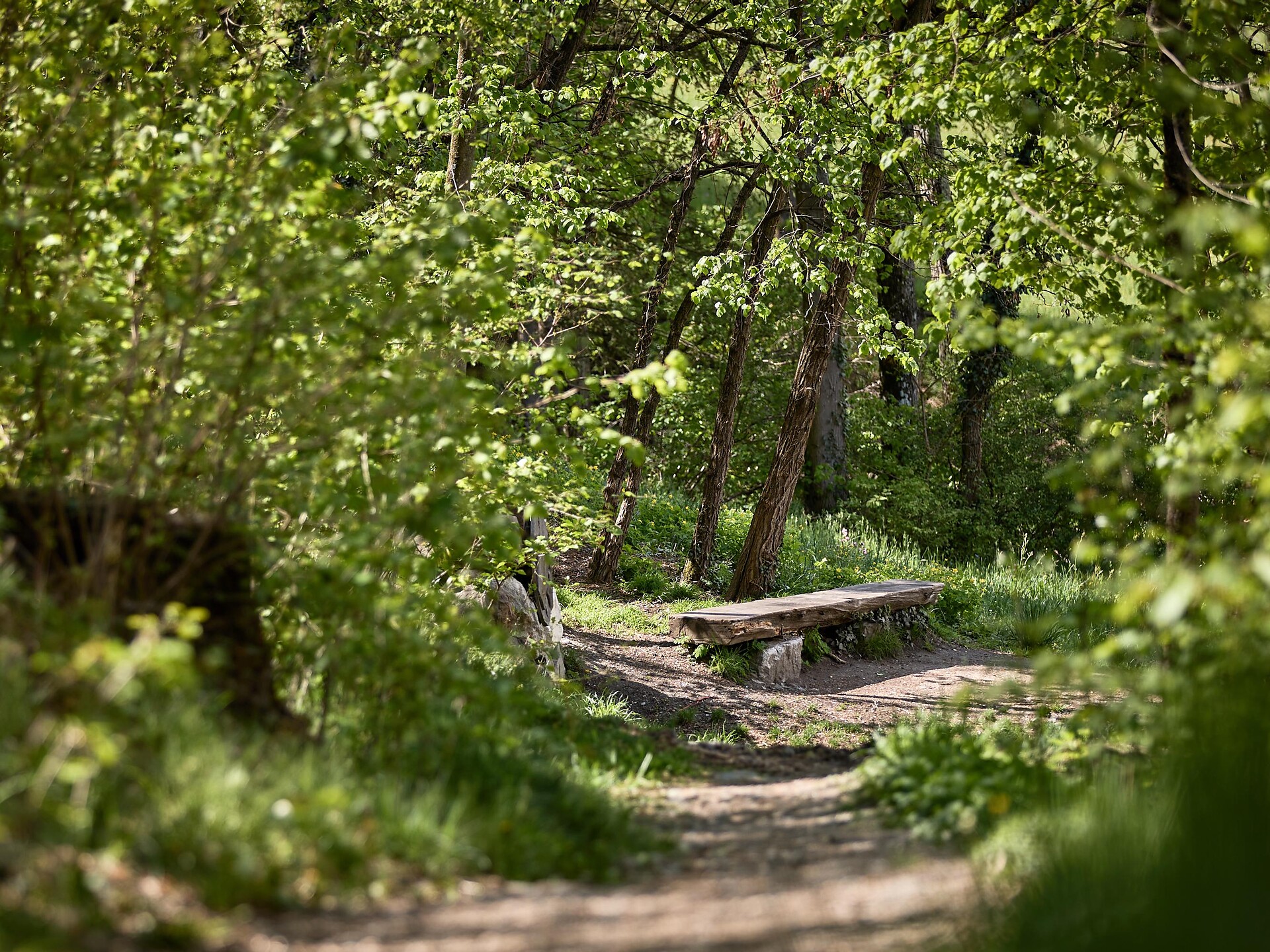
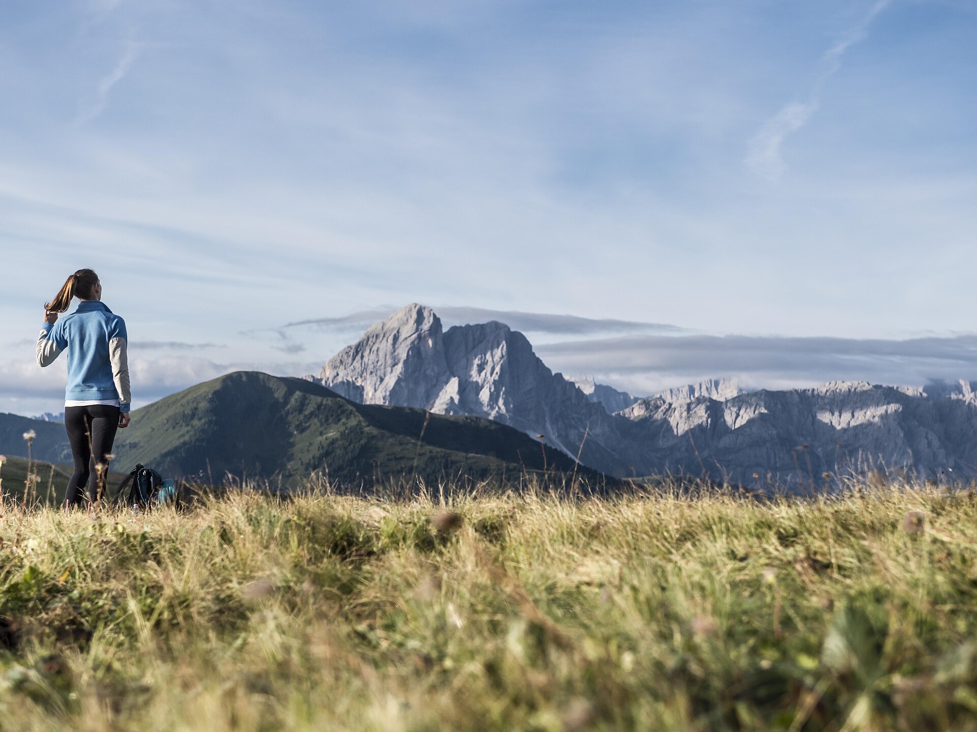
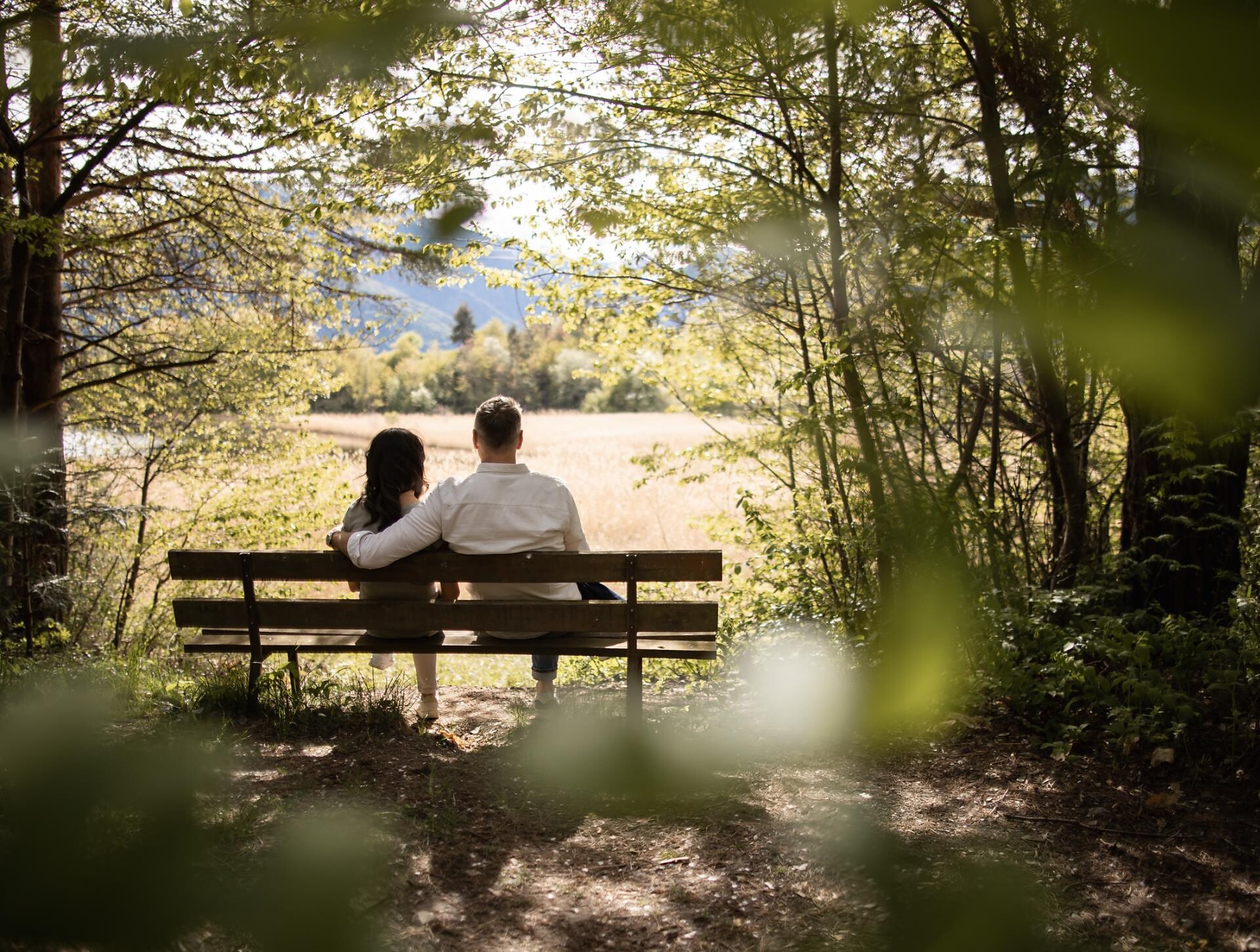
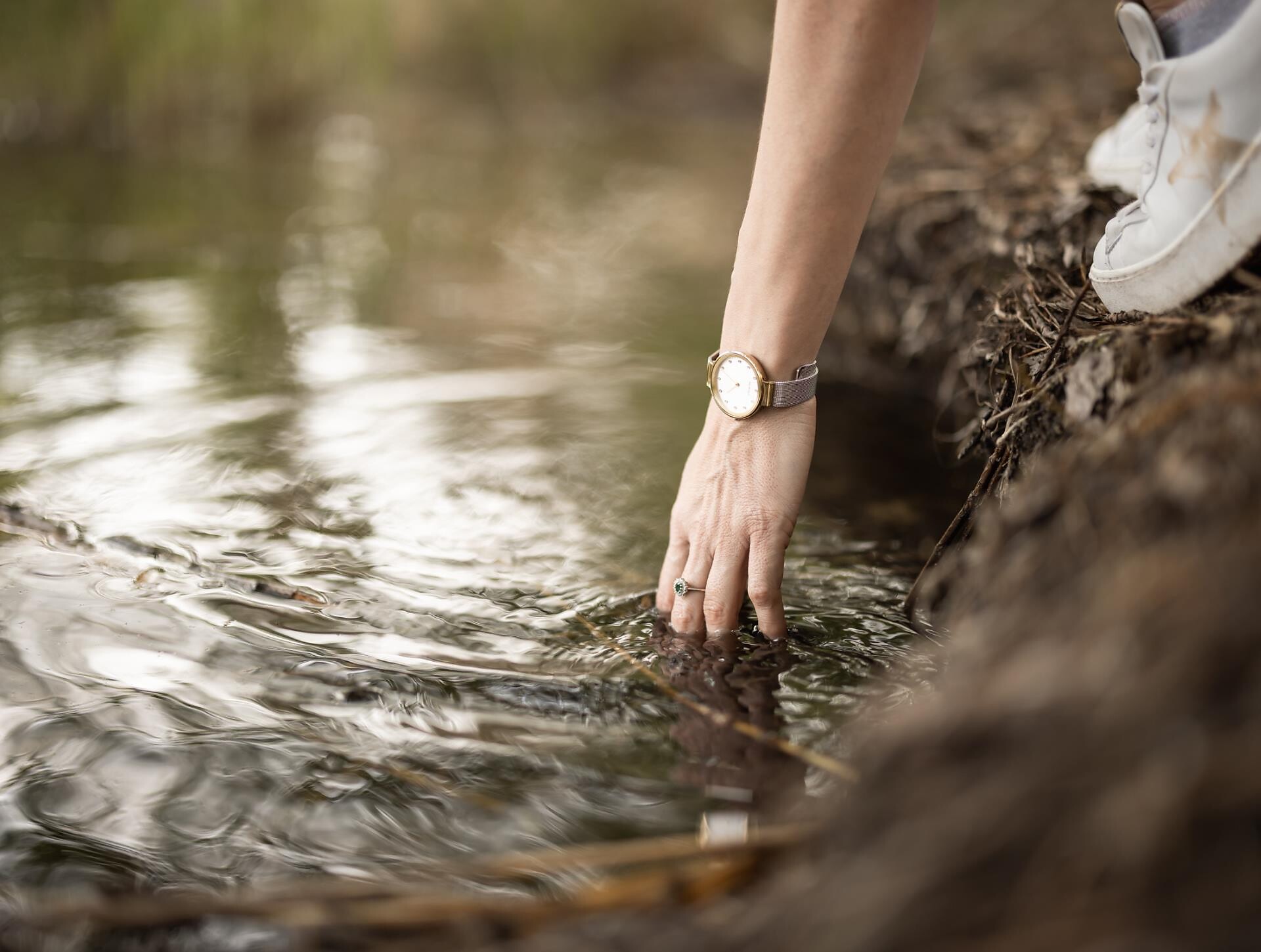
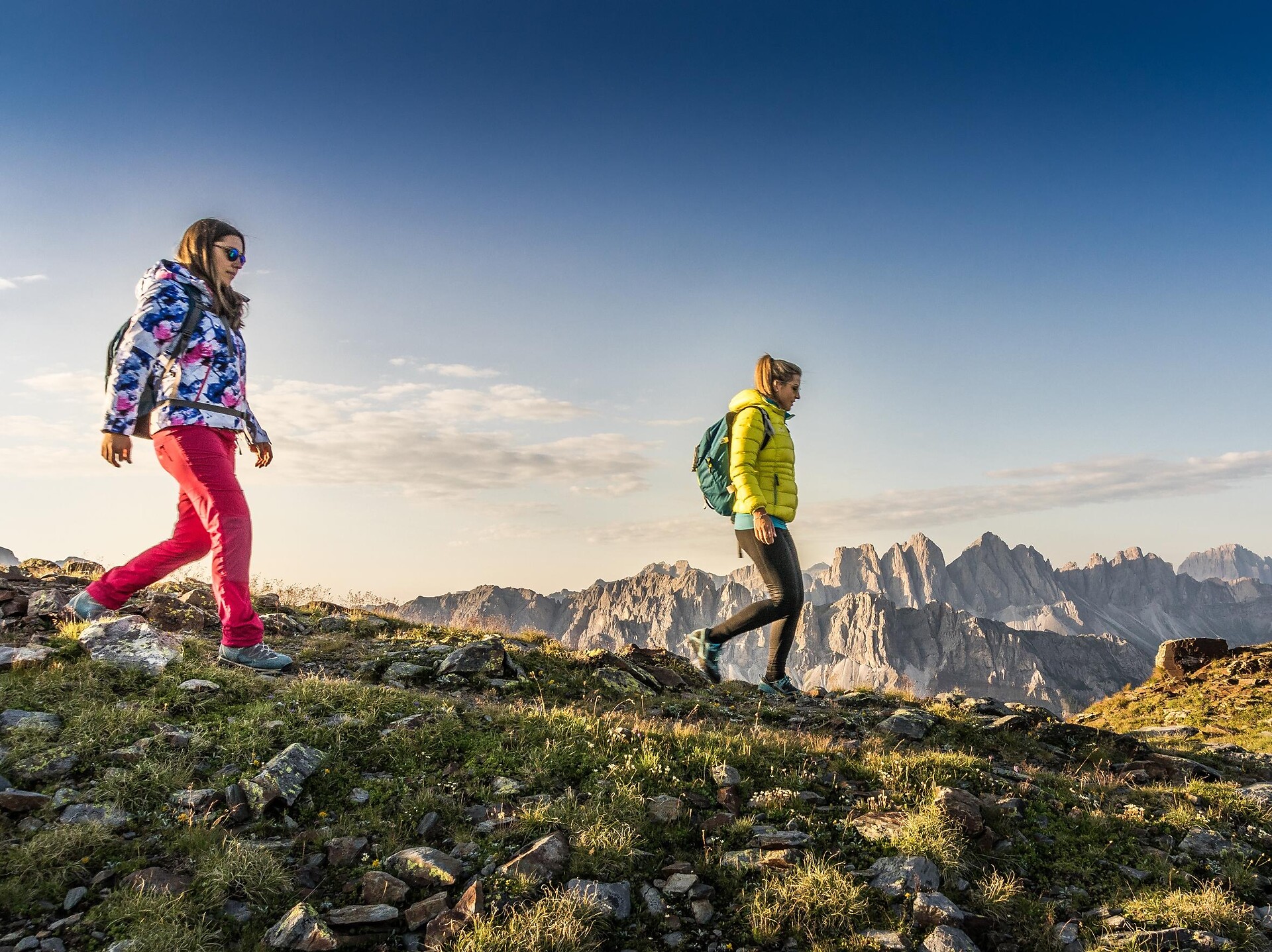
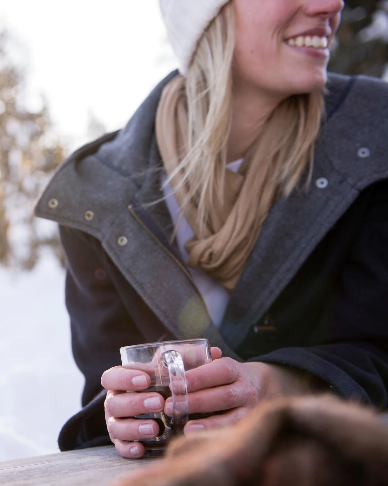
Walking is the best way to enjoy wonderful stretches of greenery. During your spring in South Tyrol, you can witness the awakening of nature in the valley and on the alpine meadows in bloom. Midsummer days are equally surprising: people are lured to mountain peaks, marvel at sweeping views and indulge in the traditional dishes served in quaint mountain huts. Go on a hike to watch the spectacle of autumn’s glorious colours and relax in nature.
TRE CHURCHES - HISTORICAL PLACE - QUIET ATMOSPHERE - ESCURSION THROUGH WOODS
Start the trail at the church in Natz, then follow trail no. 4 to Raas and further to the Neustift Abbey.
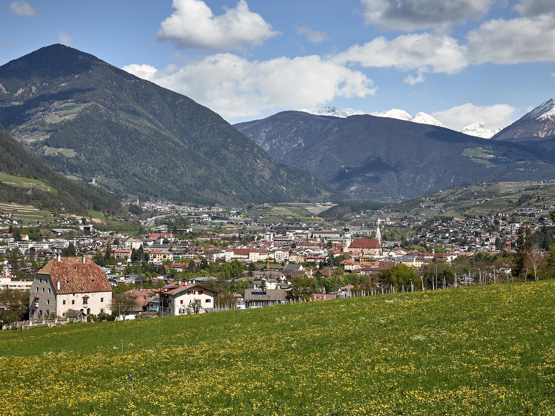
On the way back follow the trail along the river Eisack for about 45 minutes to Brixen (trail no. 16 or 16a through the vineyards). Return back by public bus to Natz.
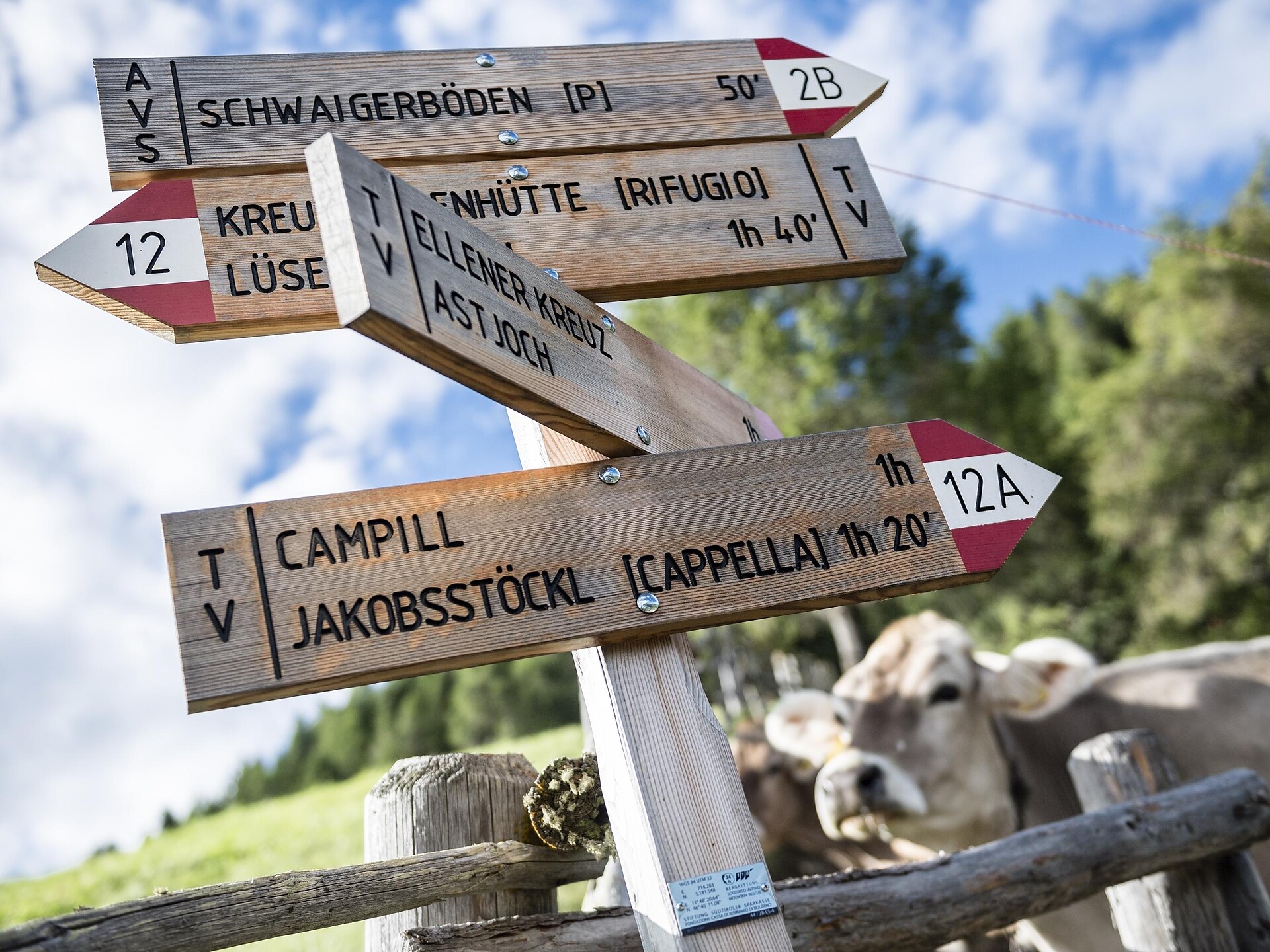
Through coniferous forests and the wide alpine pastures of the Lüsen Alps you reach in about 2 hours the gentle summit of the Campill (Hörschwanger Kreuz, 2.190 m). Accompanied by an impressive panoramic view on the mountains of South Tirol and Austria.
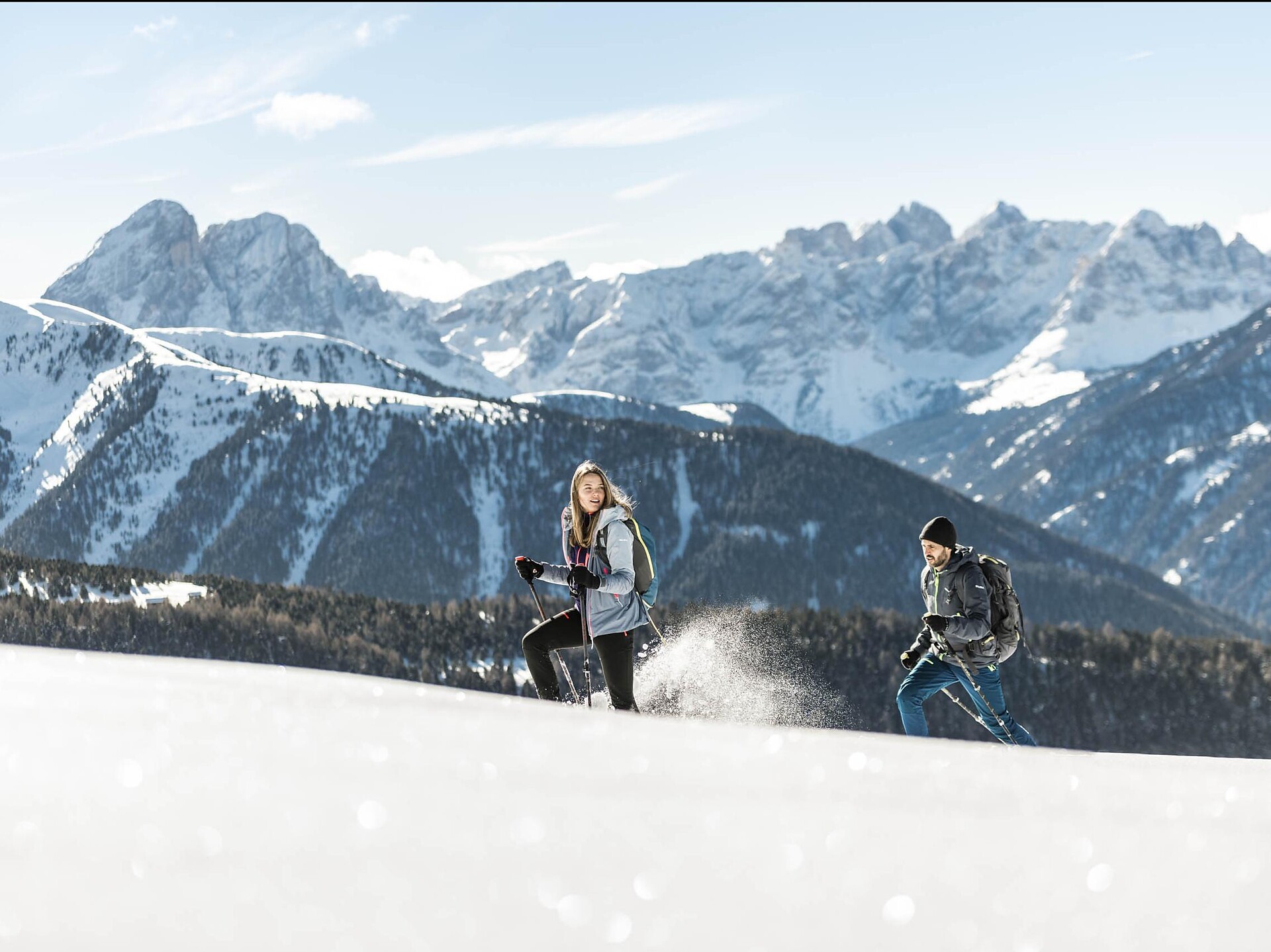
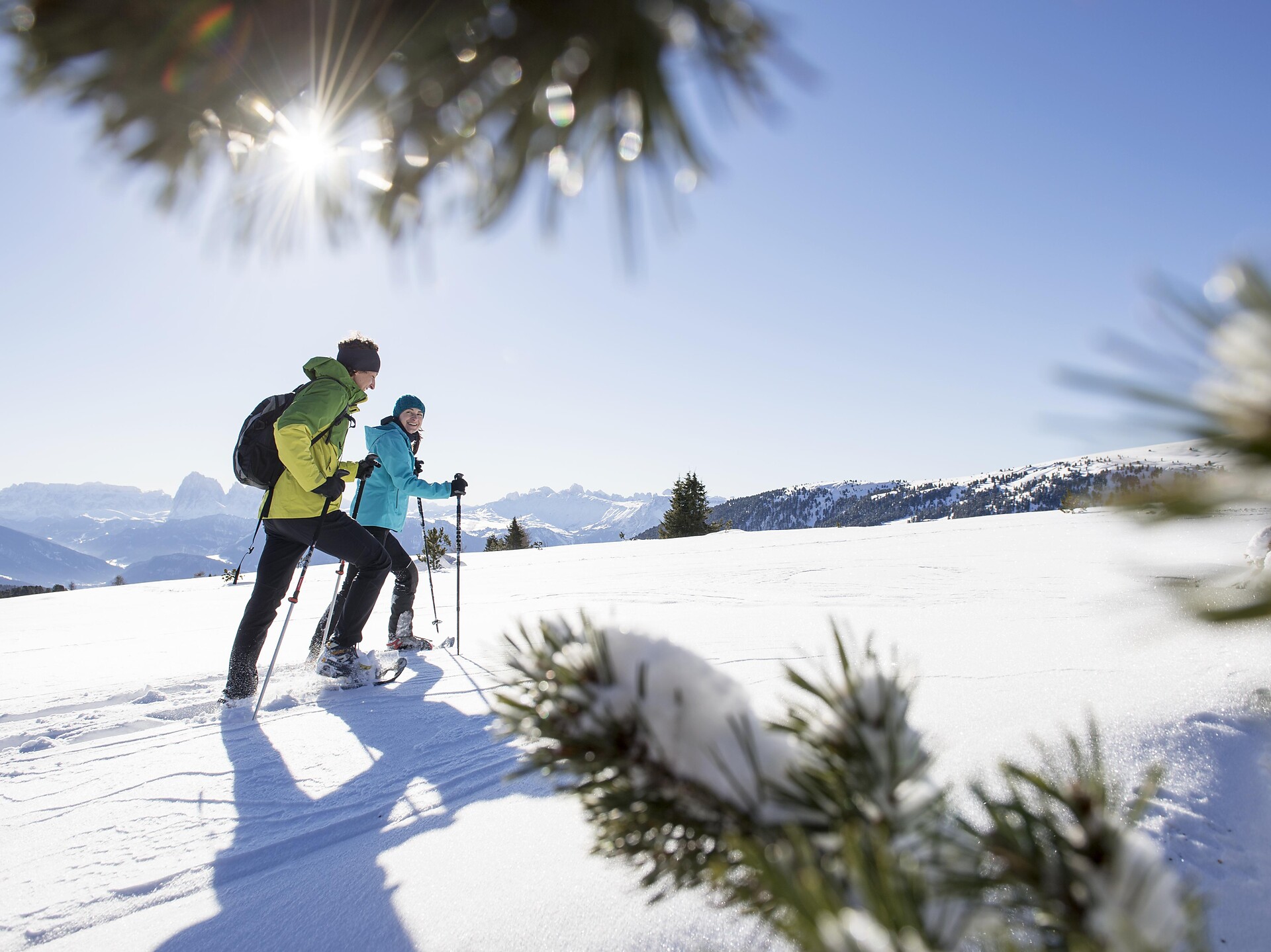
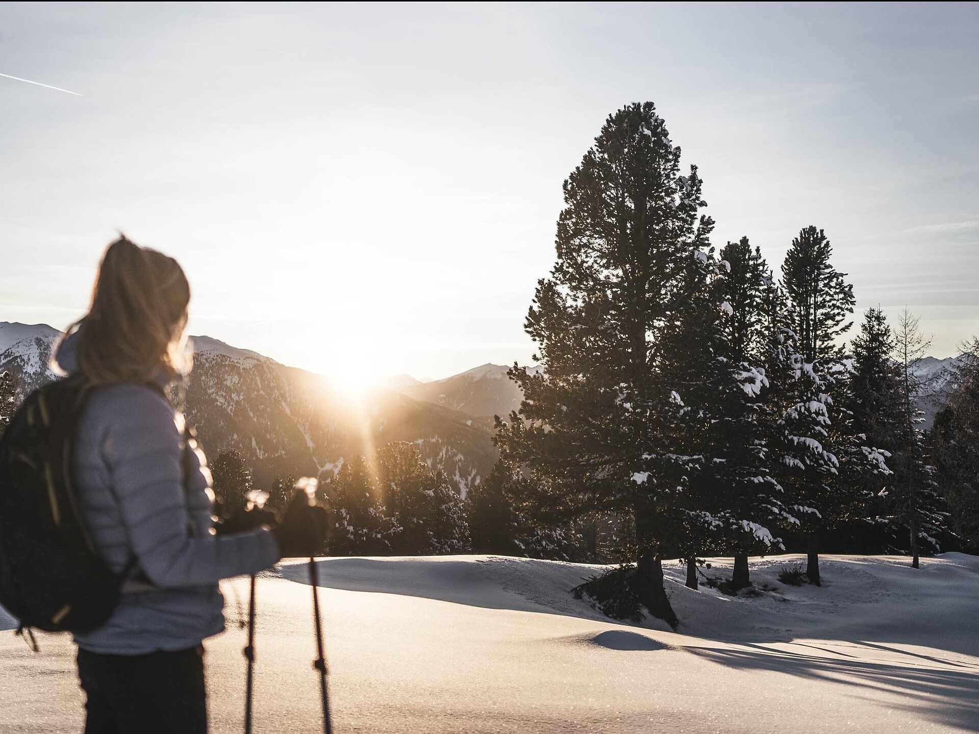
Very beautiful summit hike, which also offers wonderful impressions in winter, when the skitour and snowshoe-hiker leaves his mark on the snow-covered Alp of Lüsen. Passing little alpine huts covered with snow, through the snowy romantic scenery of lawn and forest.
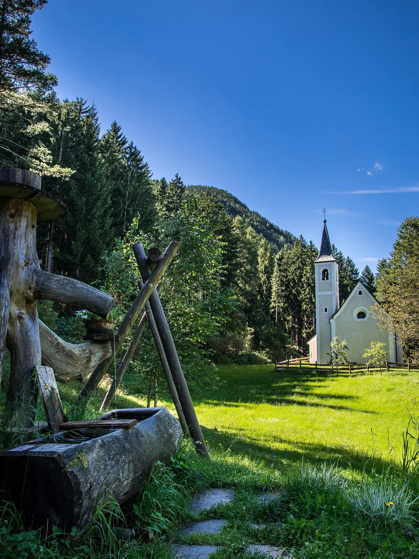
We park the car on the parking place above the "Tröglerhof". On the trail nr. 3 we go to the Nixenteich. And then are two possibilities to hike: a.) We take the trail nr. 4A and then nr. 27. We follow the way and arrive at "Stangen" and Briol. Than we choose the way nr. 4 to Dreikirchen/Trechiese. From that point we take the trail nr. 6 to "Feistegg" and then the way nr. 3 back to the parking place. b.) We hike on the trail nr. 4A below the "Huber Kreuz". On the way nr. 4 we arrive at Briol and then to Dreikirchen/Trechiese. For the return we take the trail nr. 6 to "Feistegg" an then 3 to the parking place.
The hike begins from the town square in Natz proceeding in the direction of Viums. After 200 meters, you reach the fork, where you turn left on trail no. 1 towards the Sommersürs biotope. The way leads past the biotope on trail no. 5 to the Flötscher Weiher pond. Follow the trail no. 5A leading to the main street, then walk on the sidewalk towards Natz for about 700m until you reach the sign „Wiesenweg“ . There you turn left and follow the trail thourgh fields and meadows until you reach your starting point.
Alternative: You can cross the road after having reached trail no. 5 and walk for about 30 minutes on a nice forest path to go round “Mesnerbühel”.
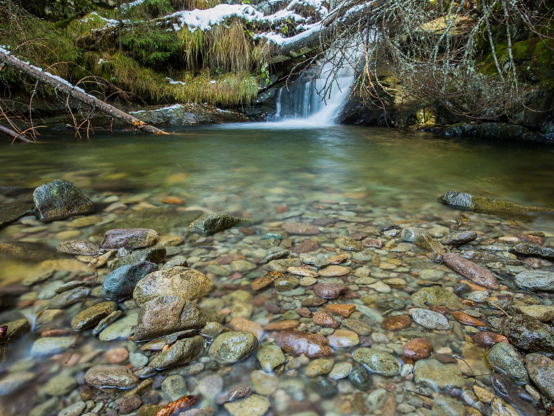
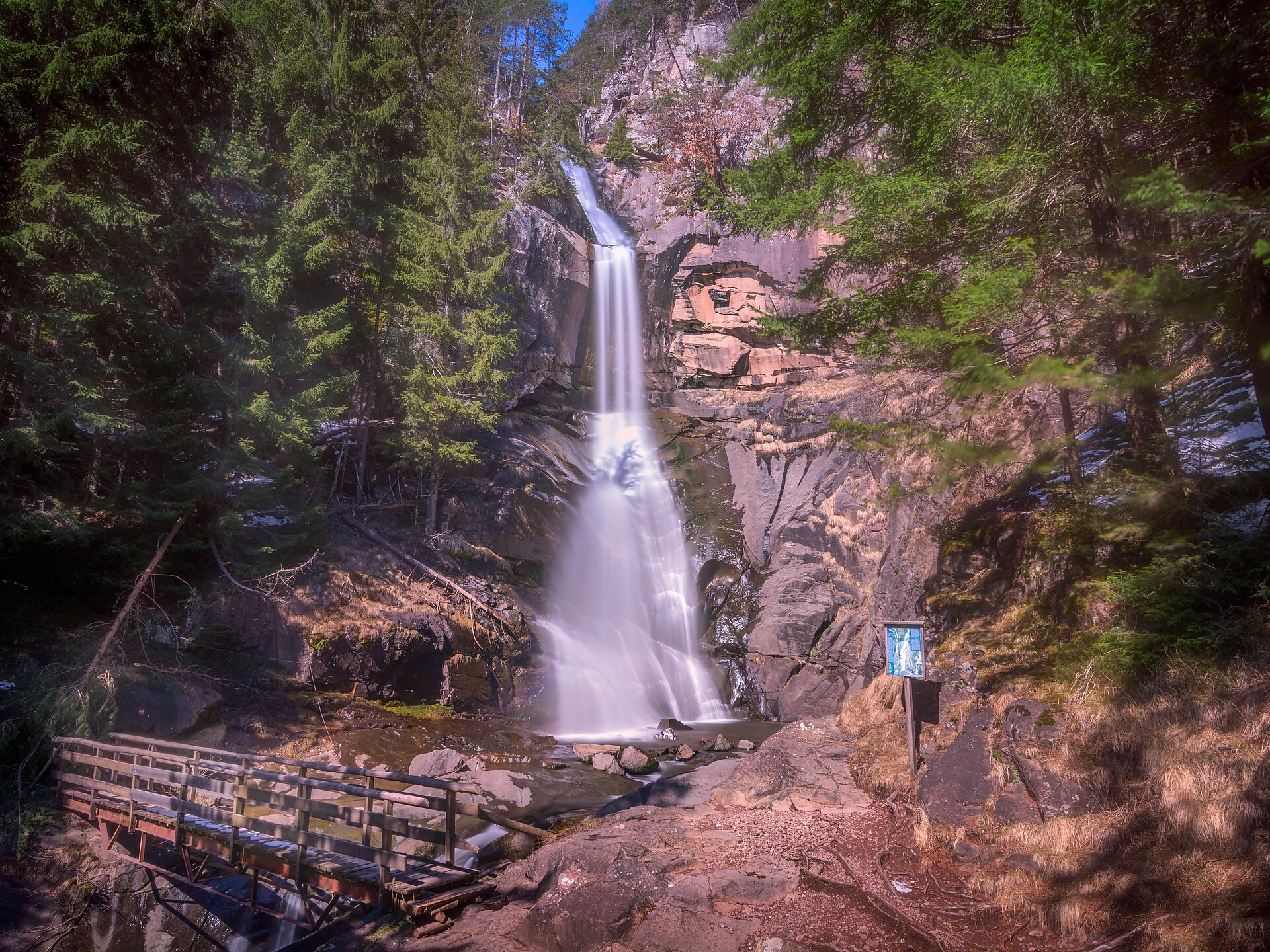
From the village Barbian/Barbiano we hike on the "Wasserfallweg" to the lower and to the upper waterfall (we need good foodwear). On the trail nr. 34 we pass the "Katzenleiter", "Kasserol and "Stangen". We hike until Briol on the mark nr. 27 and then we take the trail nr. 4 to Dreikirchen/Trechiese. For the return we take the way nr. 6 to "Schlernbank", then nr. 3 to "Feistegg" and on this way we come back to Barbian/Barbiano.
A rewarding hike past the historic Ansitz Gravetsch Residence to the Church of St. Anna in Rotlahn.
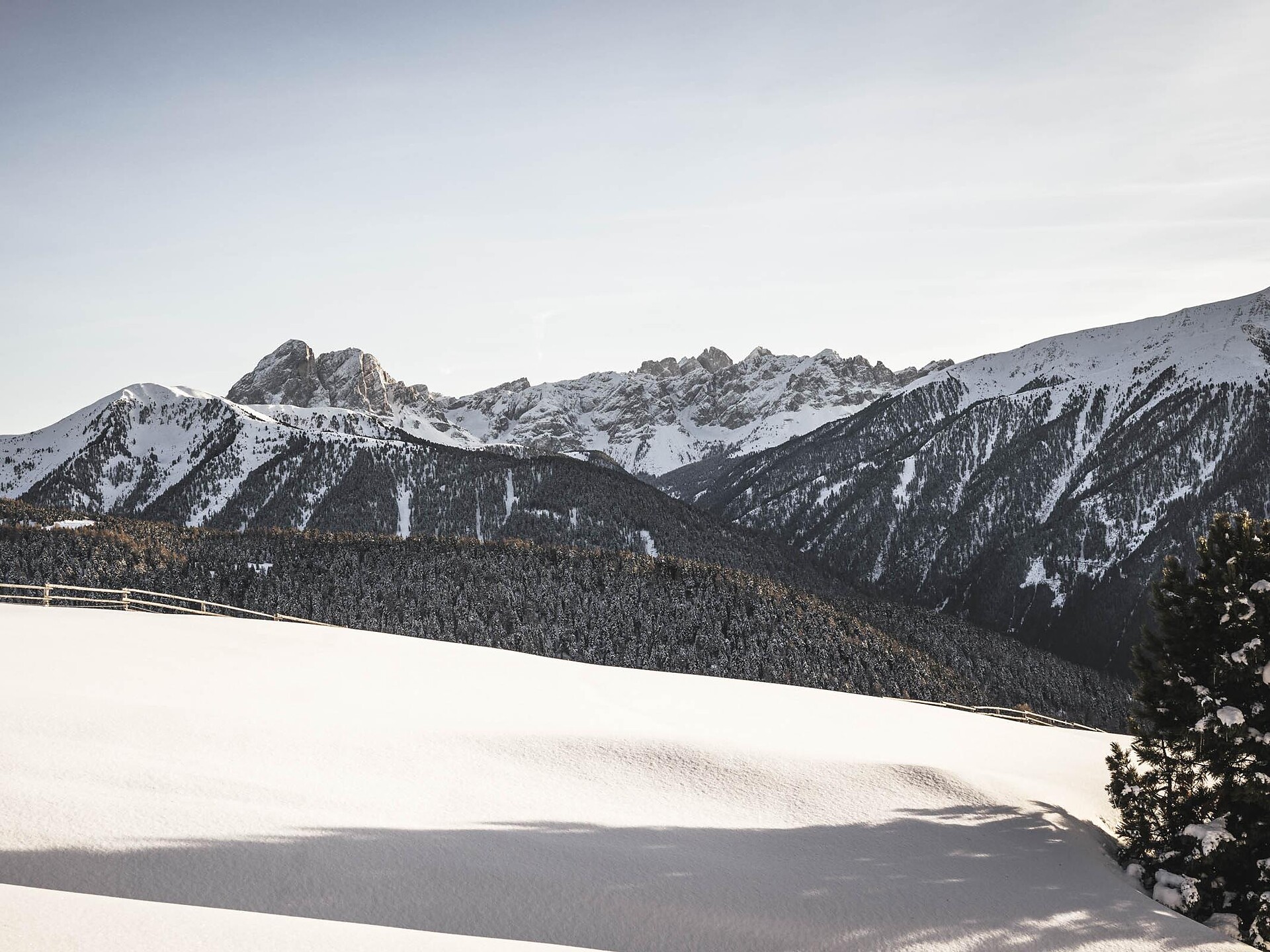
The Alps of Villanders are one of the lesser known winter sports areas in South Tyrol.
Walk from the center in the direction of Schabs and Viums. At the Viummer Kreuz cross chapel, turn left and follow the Stegerbühelrunde sign northwards and clockwise. Walking around the hill will take you along on mossy forest trails that offer great views of Rodenegg Castle and the Rienzschlucht gorge.
This is recommended during early Spring when the Alpine rose is blossoming and in Autumn when the bright yellow larch trees are reflecting in the lake.
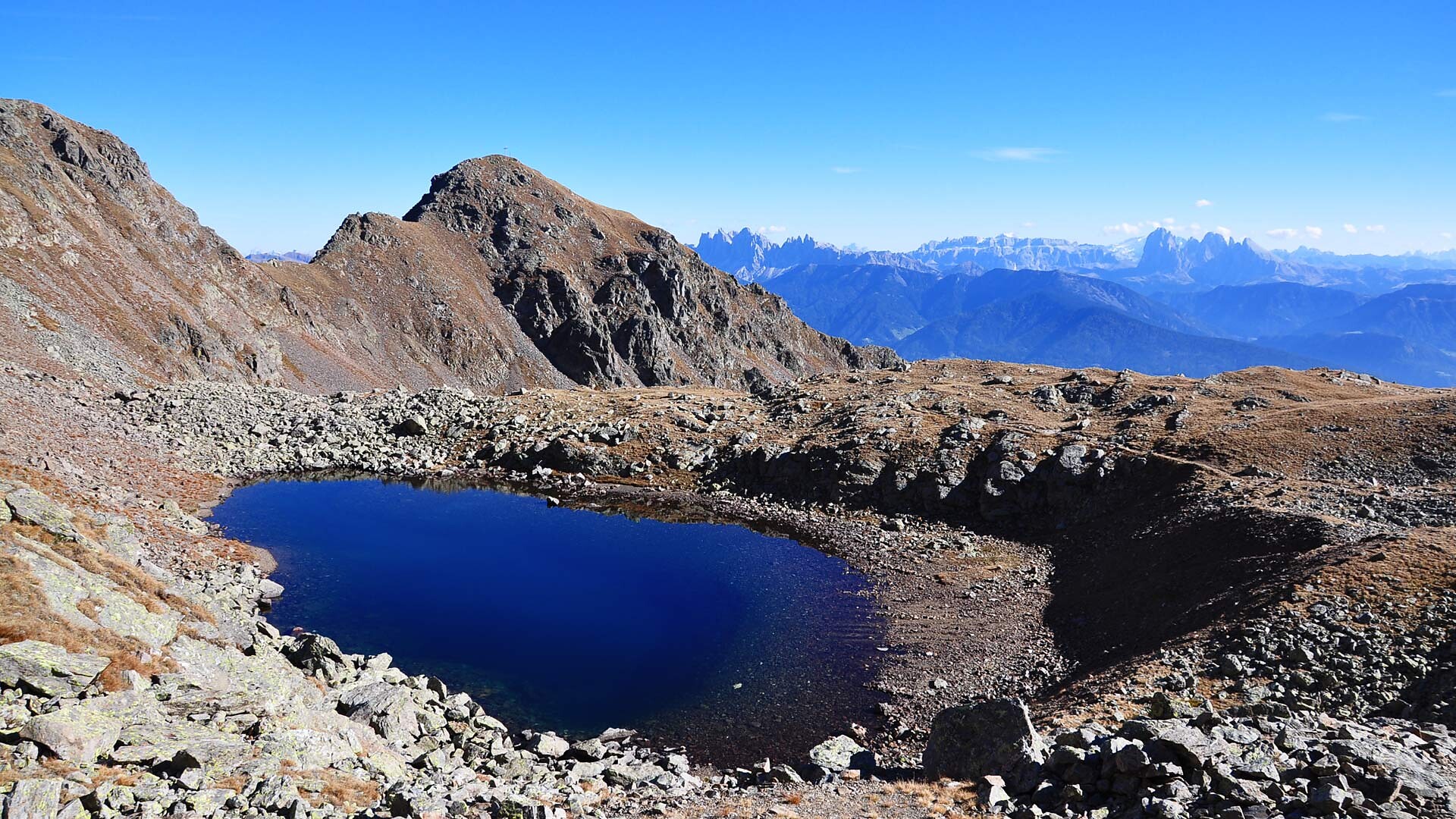
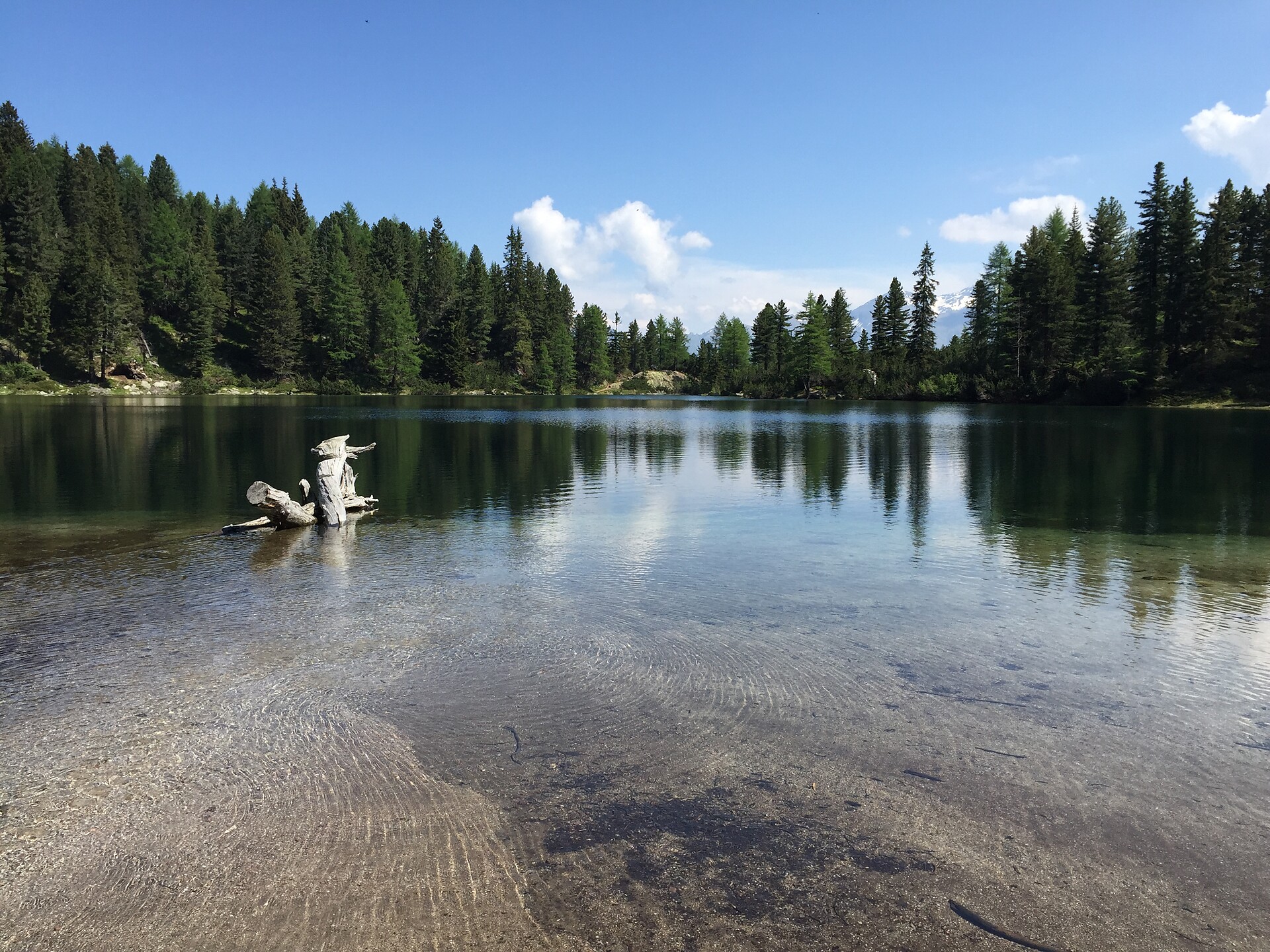
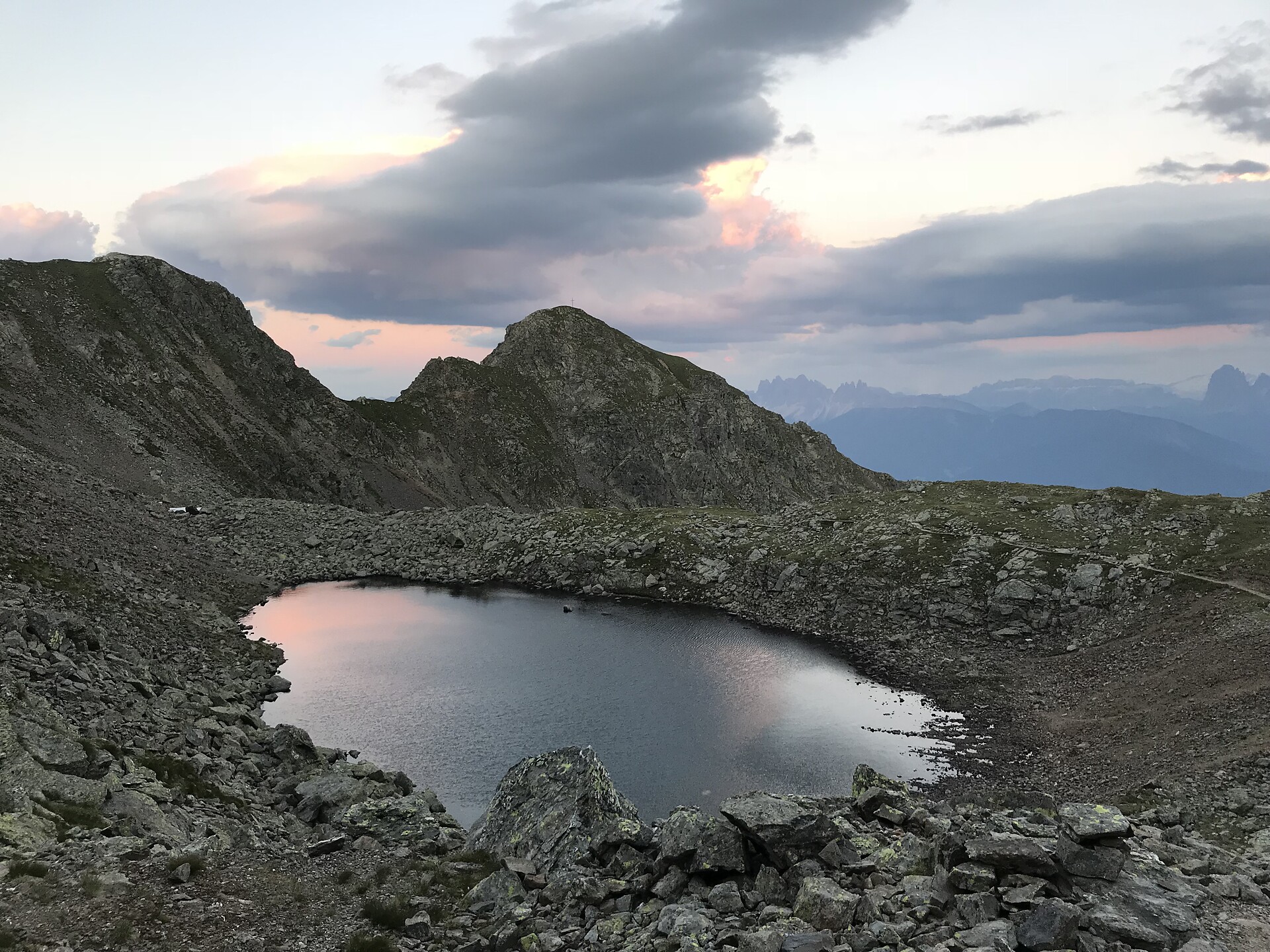
Near the group of houses just above Grasstein (866 metres), there is an Alpine path (first # 15, then # 14) running through the steep woods up to the Puntleider Alm (1,777 metres, also Seealm, snack bar). From there, path # 14 leads you in a southerly direction to Lake Puntleiden (1,847 metres). Descend on the same route.
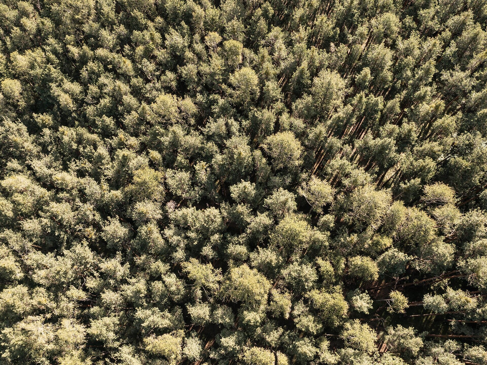
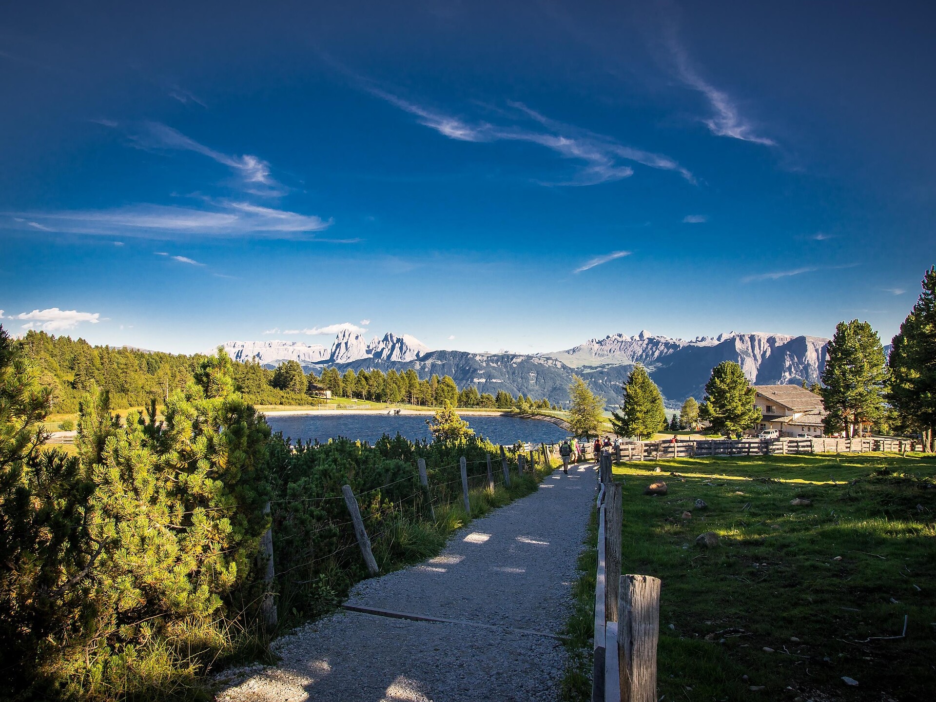
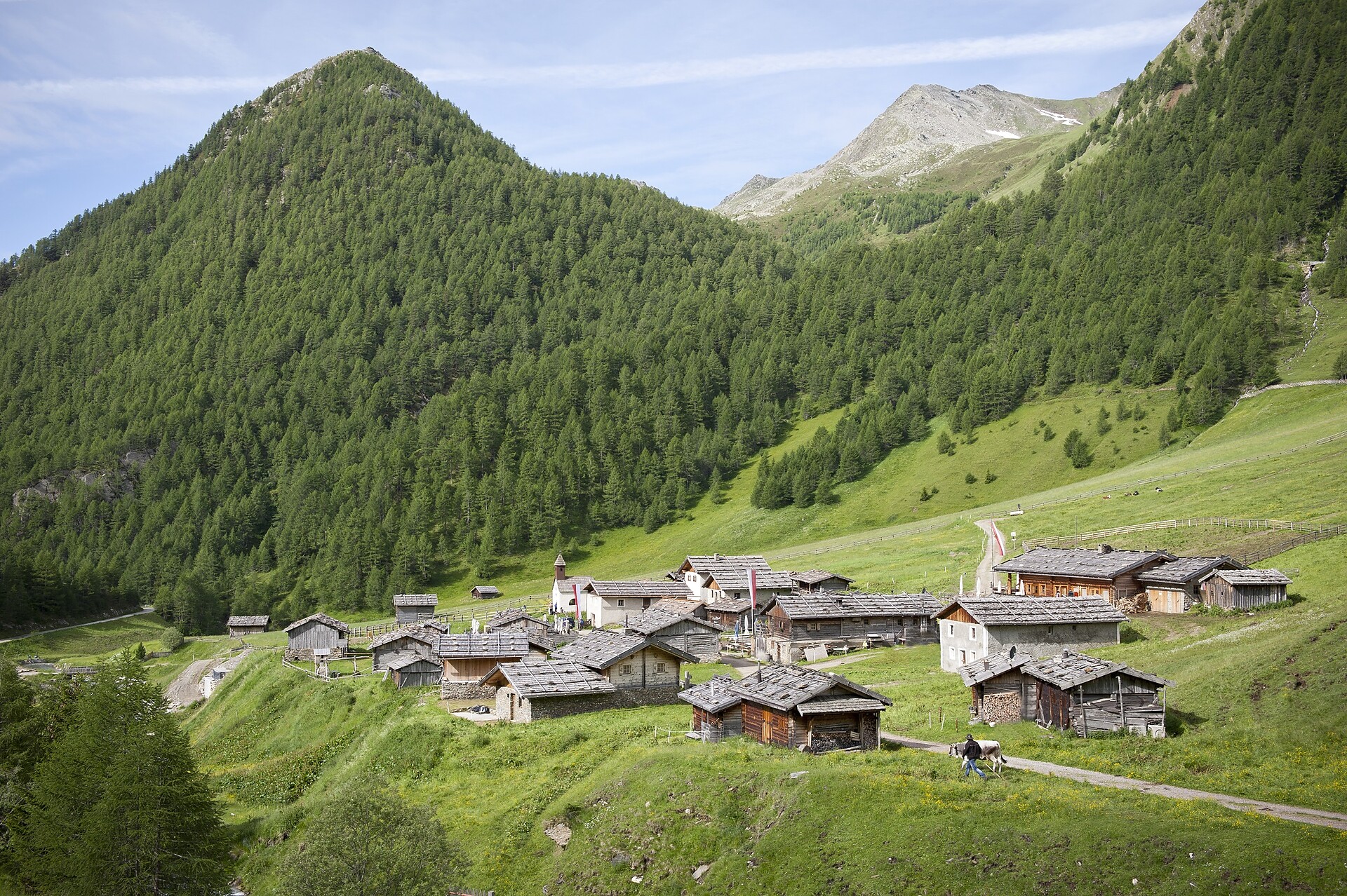
This uncomplicated circuit hike on the high moors of the Villanderer Alm mountain pasture through pine forests, offers fantastic views of the Dolomites. Occupying about 20 km2, the Villanderer Alm is one of the largest Alpine pastures in Europe.
Hike on old haymaking paths to the Lüsen Alps.
Before motorization an road construction, the hay harvest from the alpine pastures in winter was brought to the valley with sledges. The hike leads from the Lüsnerhof tot he left of the stream on the farm track uphill. At the edge of the forest the road through the forest goes left to the farmhouse of the Gargitthof. Below the farmhouse there is a nice resting place witha wonderful panoramic view. The way back goes from the rest area over the path tot he forest road and back to Lüsen Rungg.
From Aicha, trail no. 7A leads to Spinges. For the way back to Aicha, take trail no. 9 via Katzenleiter and past the wayside shrine, then continue on trail no. 9A.
From the Plansoler inn, the route descends along trail no. 6 down to the church and the lower road leading to Burgstall. To the right, forest road no. 12 leads to S. Andrea/St. Andrä. The way back follows along the Kreuzweg trail (signposted) northwards to Cornale/Karnol, from there ascending on trail no. 6 down a field path to Burgstall, and then back to S. Leonardo/St. Leonhard.
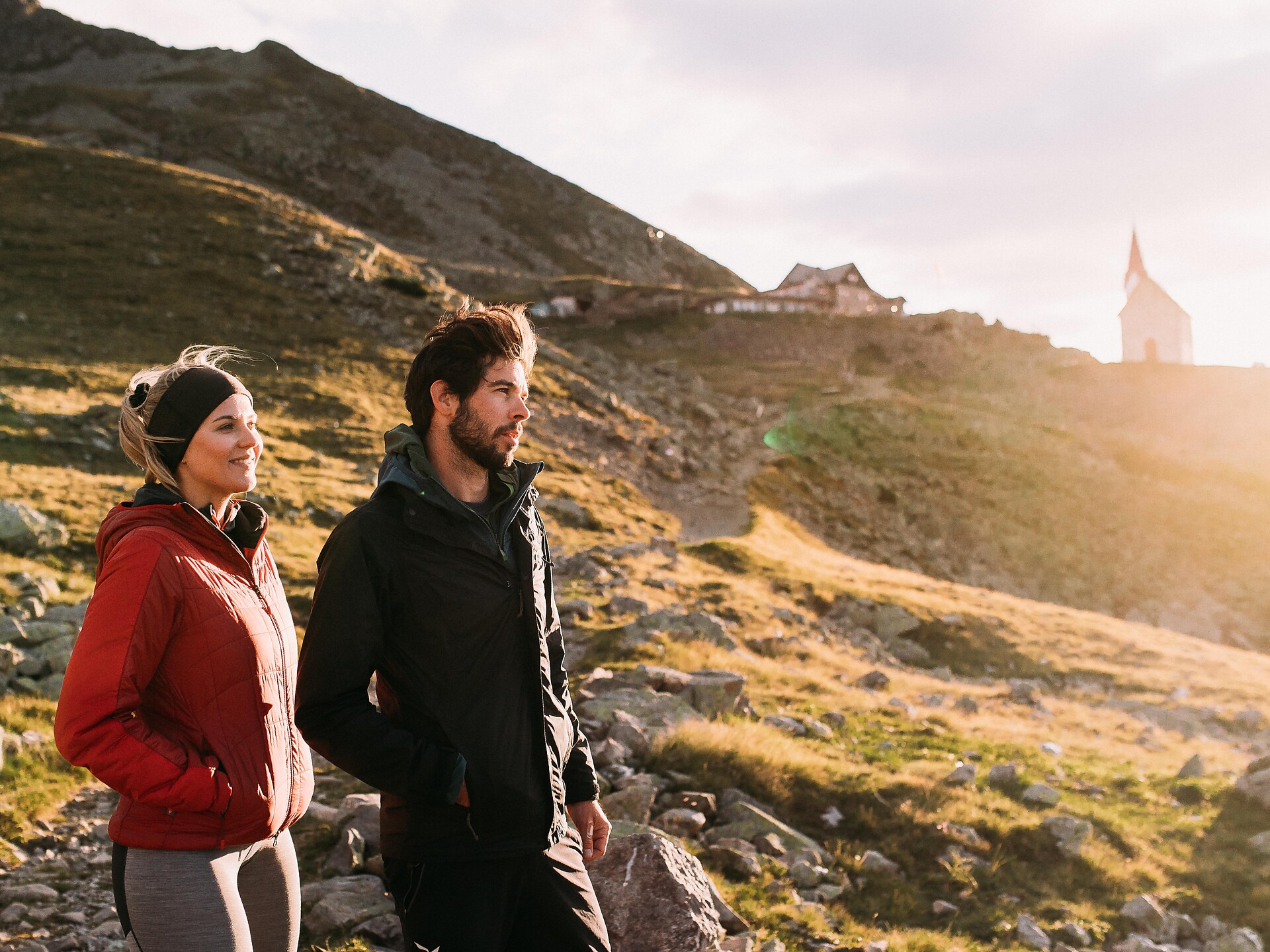
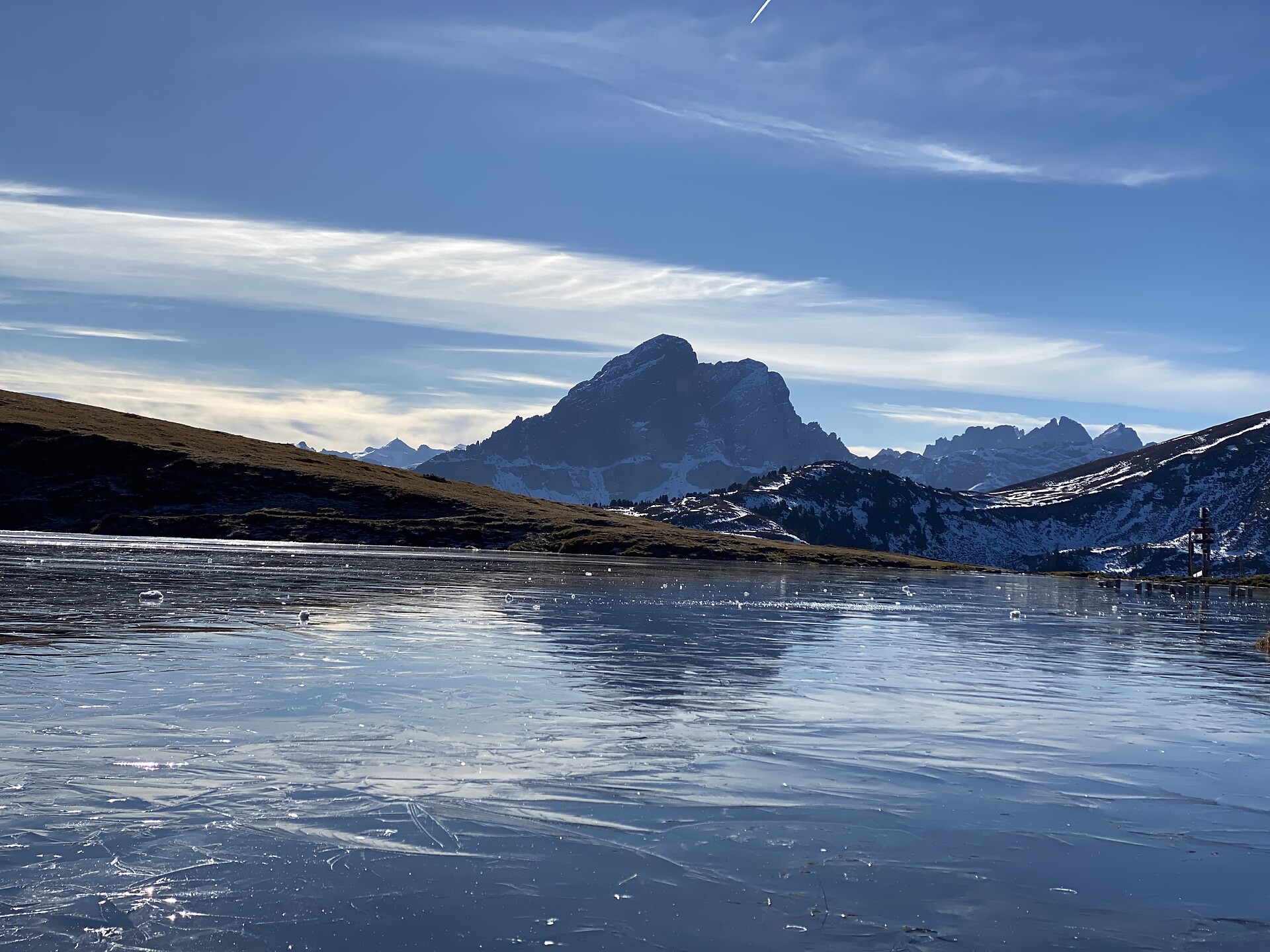
The hike to the Brixner Hütte (2,282 m) in the Pfunderer Mountains is well suited to families and serves as a starting point for excursions to the Wilde Kreuzspitze summit and the Wilde See lake.
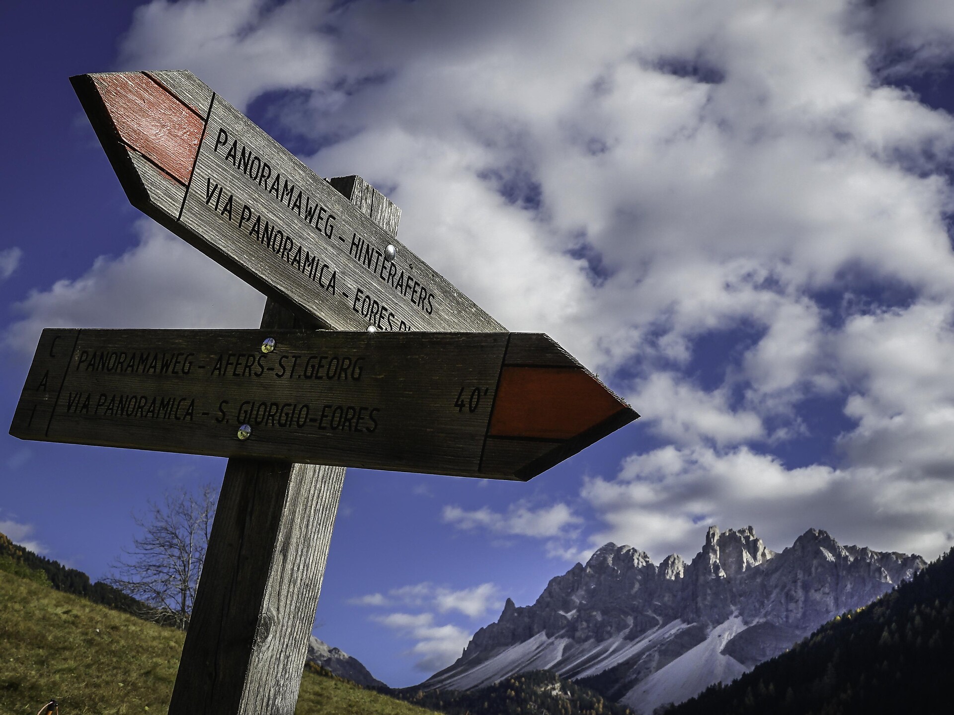
The Panoramaweg trail runs along the Höfeweg farms trail from St. Georg/S. Giorgio to the Antoniuskapelle chapel in Hinterafers/Eores di Dentro, across the sunny south-facing slopes of the Plose above the Afererer Tal Valley overlooking Brixen/Bressanone.
This hiking trail was created to commemorate the visit of Archduke Karl, the last Emperor of Austria (1887–1922).
Hiking across the broad mountain meadows with magnificent panoramas.
The "Sunday Walk" is an inspirational journey from Feldthurns to Schnauders. It is an invitation to reflect on the offerings and occupations of Sunday.
This average circular hike leads from Barbian/Barbiano to the Rittner Horn summit, with a 360° panoramic view. Referring to the summit of the Rittner Horn, Ludwig Purtscheller, the first European to climb Mount Kilimanjaro, once said: "If you want to see Tyrol at a glance, climb these heights".
We take the path of the chestnuts (Keschtnweg) from the centre of Villanders to the medieval city of Klausen. After a short visit we leave the city to the western direction and follow the district of Frag. Then we take the way nr. 4, which leads through the best vineyard locations of Villanders, to return to the centre of Villanders.
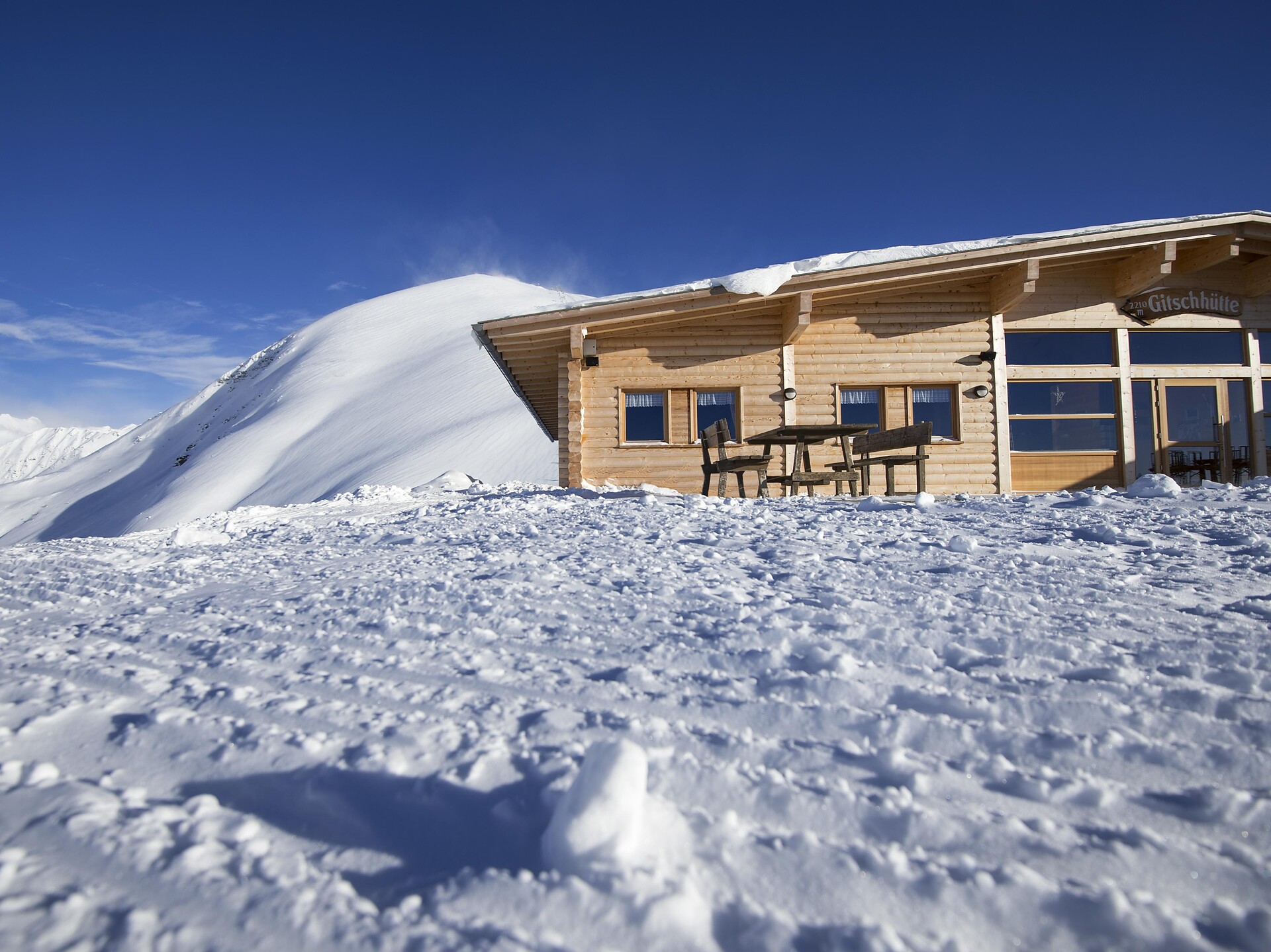
Experience winter on the way to the Gitschhütte! A short hike from the mountain station to the hut offers stunning views and a cozy atmosphere. Perfect for a brief but unforgettable winter outing.
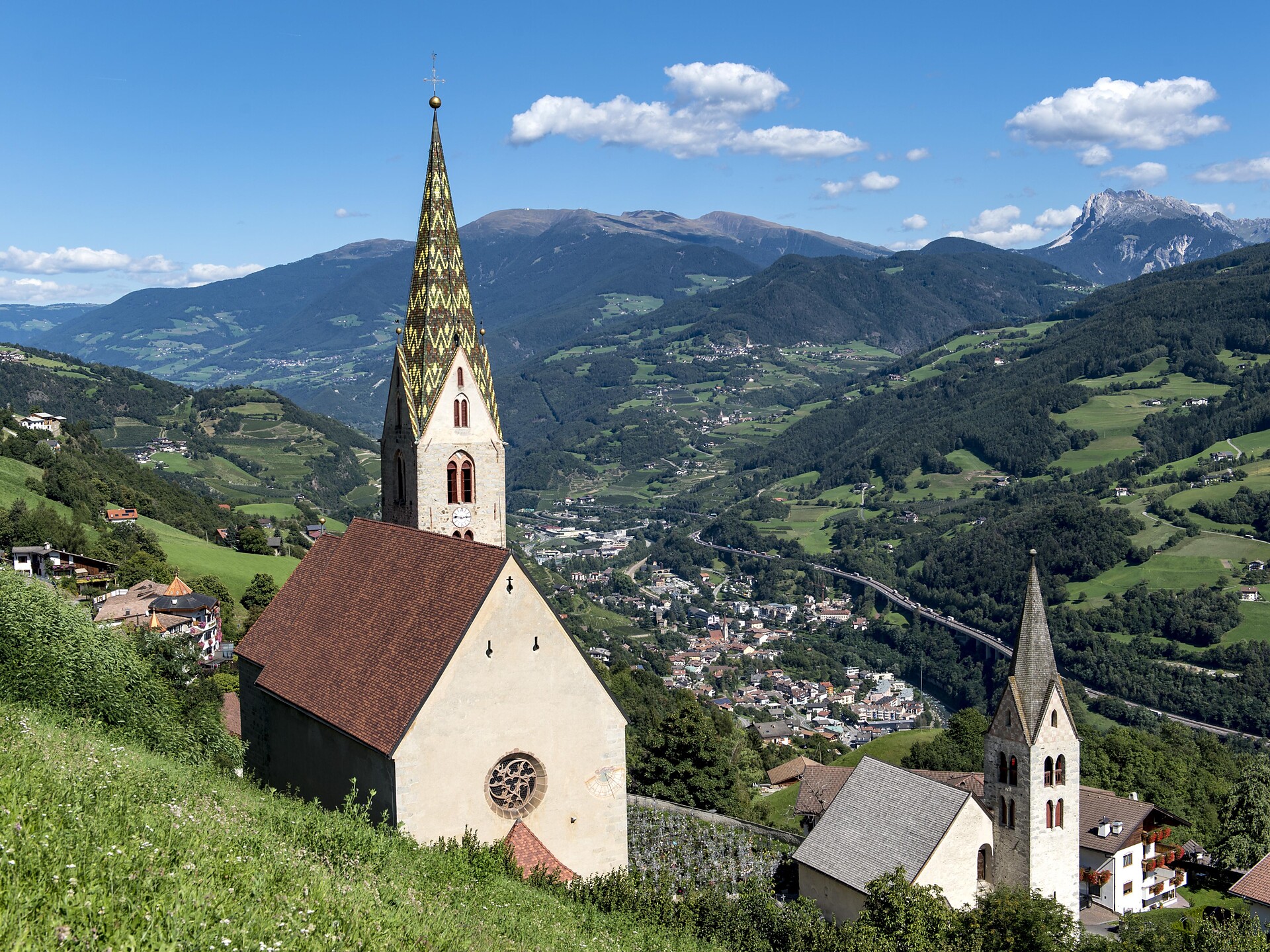
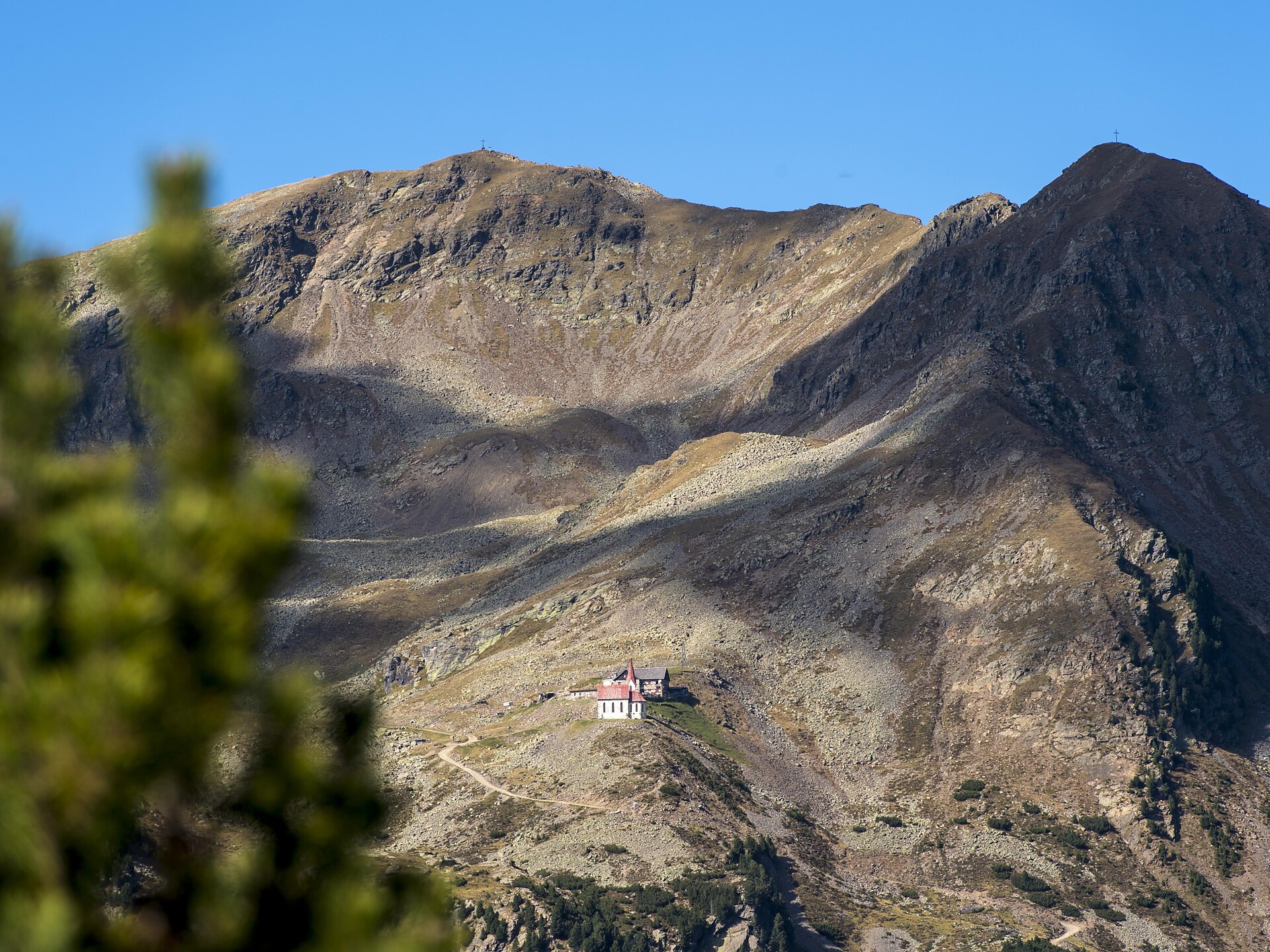
This moderate hike to the summit leads from the Kühhof farm past the Klausner Hütte mountain hut and on to the shelter at the Latzfonser Kreuz summit cross with the highest pilgrimage church in the Alps. The ascent to the Kassianspitze is a thrilling experience for kids who love the mountains.
From the church in Rasa/Raas, head east along the road following the signs for trail no. 4 to the Moser farm, then turn right following the symbol for the nature trail and walk round the Raier Moos biotope to the Moser and back on marked trail no. 4 to your starting point. The nature trail takes you round the Raier Moos biotope. With the help of information boards and observation points, visitors can learn about the habitats of all kinds of animal and plant species at first hand.
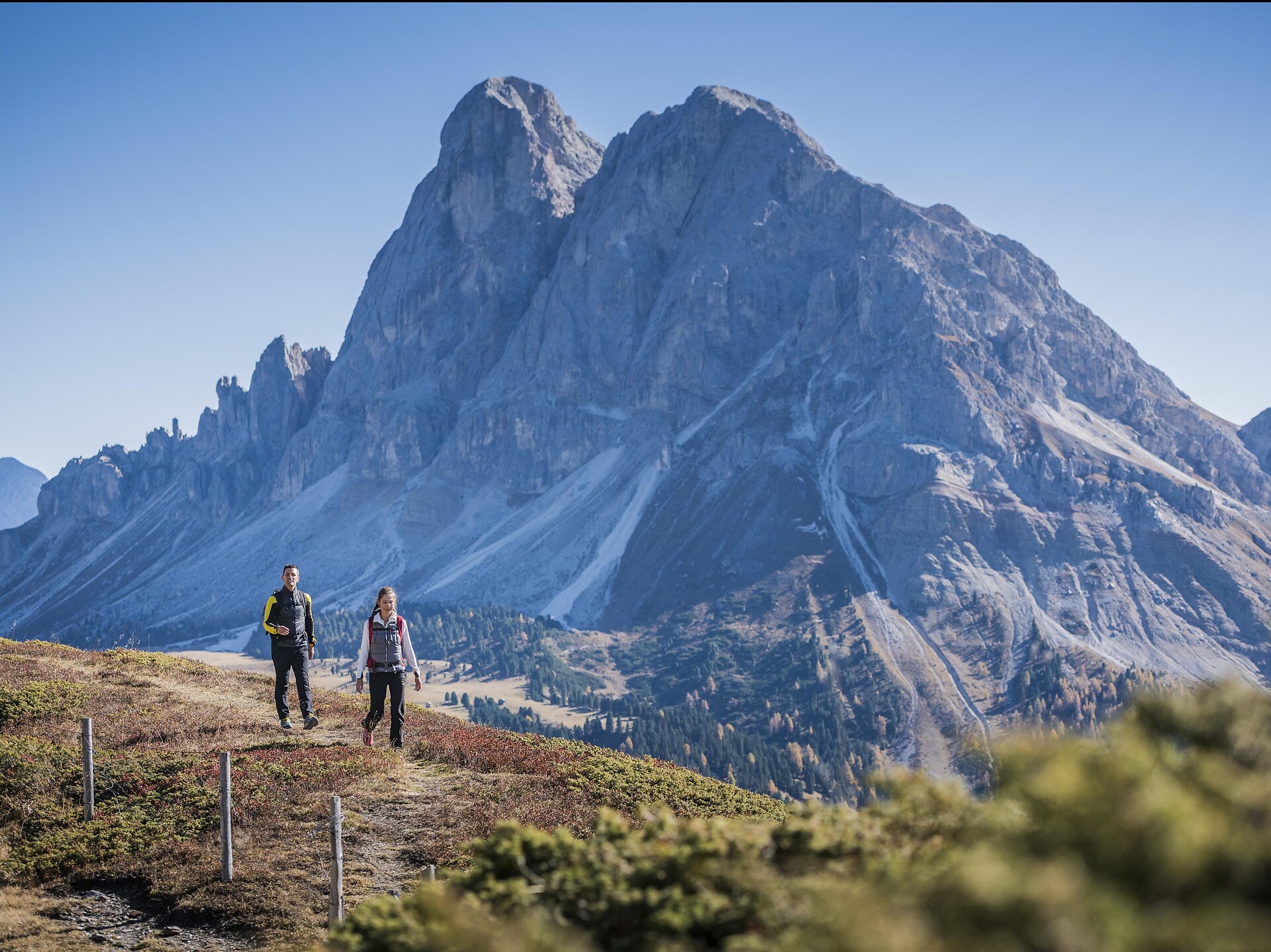
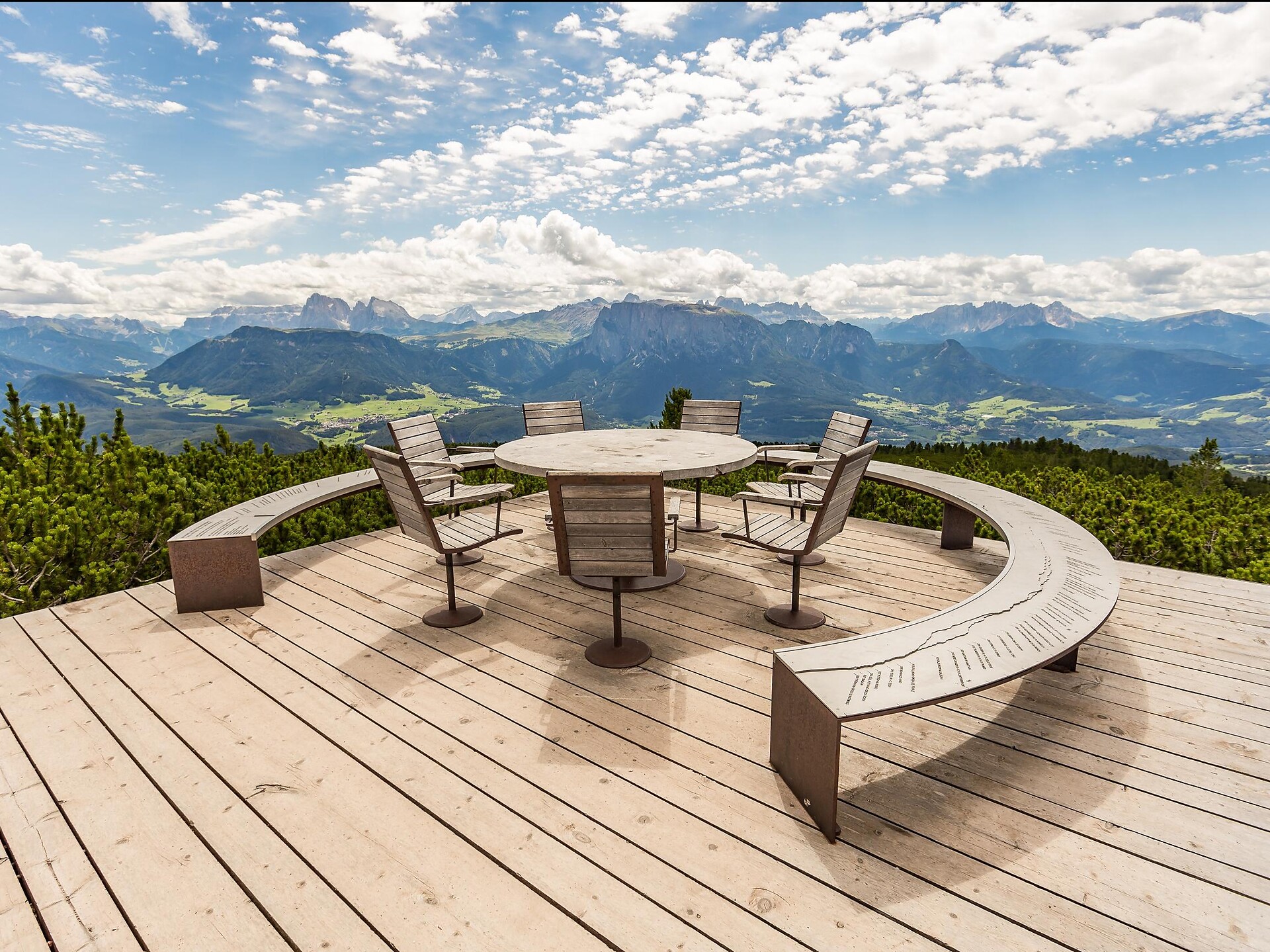
Hike on the Plose mountain overlooking Brixen/Bressanone, with views from three spectacular peaks.
To complete your subscription, open the email we just sent you and click on the confirmation link.
Can’t find it? Check your spam folder too.