Přeskočit na obsah

přidáno k oblíbeným

odebráno z oblíbených

Jejda! Došlo k problému, zkuste to prosím znovu

Vytváří se váš účet

Váš účet byl úspěšně vytvořen a nyní jste přihlášeni

Jste úspěšně přihlášeni!

Váš účet byl úspěšně vytvořen, ale nepodařilo se nám vás automaticky přihlásit

Jste odhlášeni

Filtr
Vybrané filtry
    Úroveň obtížnosti
    Doba trvání
    Vzdálenost v km

    Zvláštní aktivity regionů v Jižním Tyrolsku

    Objevte všechny zajímavosti jednotlivých regionů a naplánujte si svůj pobyt v Jižním Tyrolsku.
    Výsledky
    Themed Hikes
    The Pinot Noir Trail
    Auer/Ora, Alto Adige Wine Road

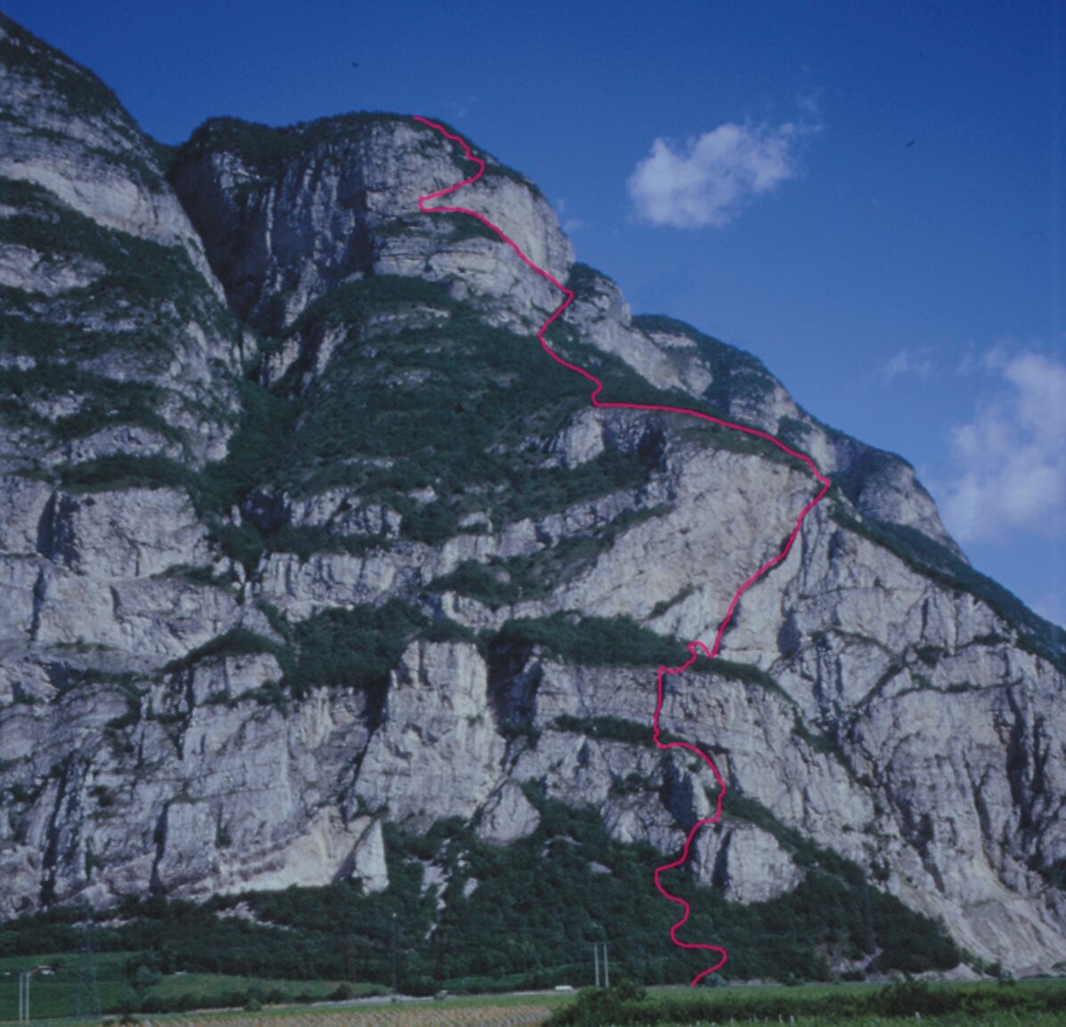
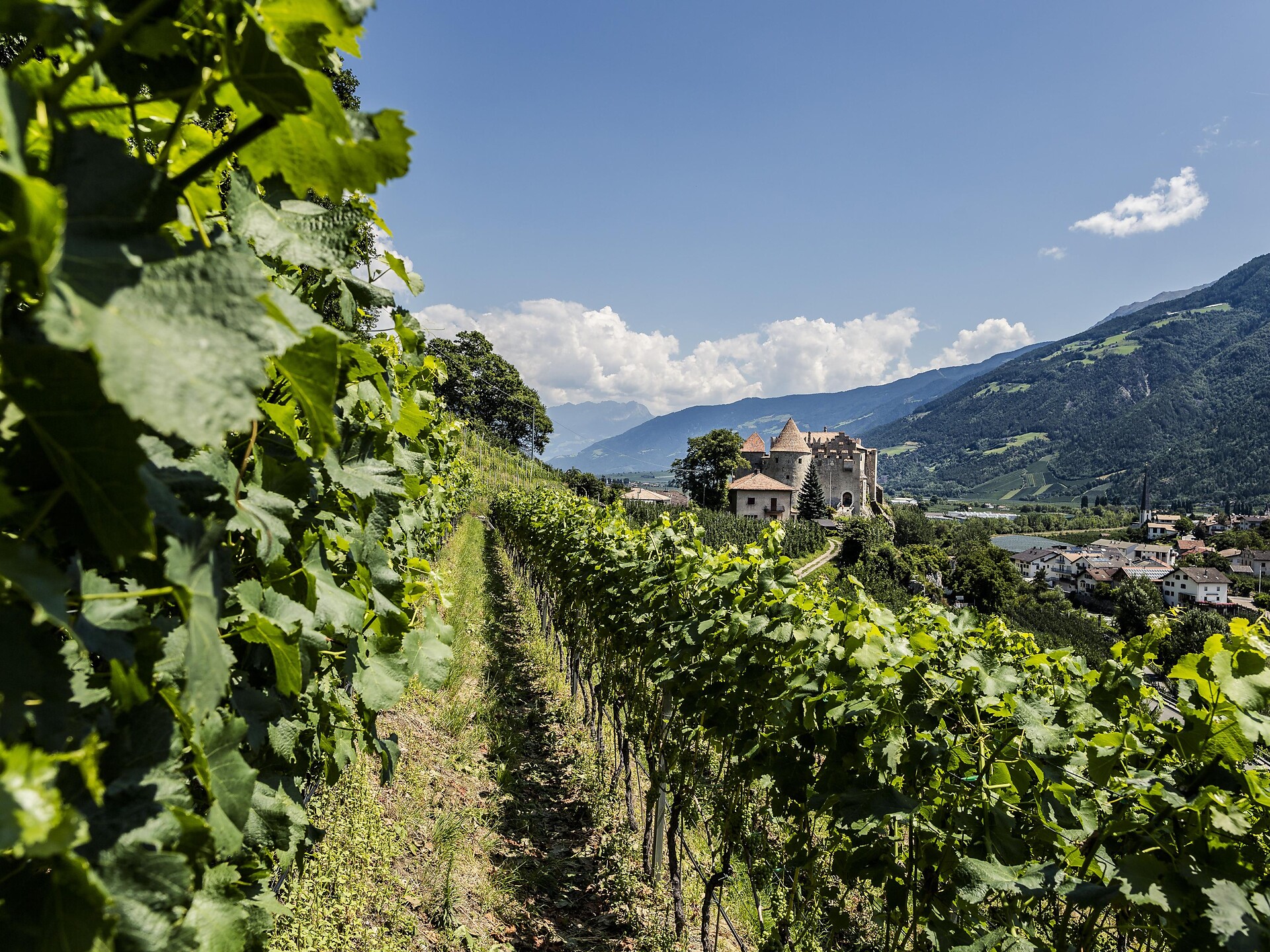
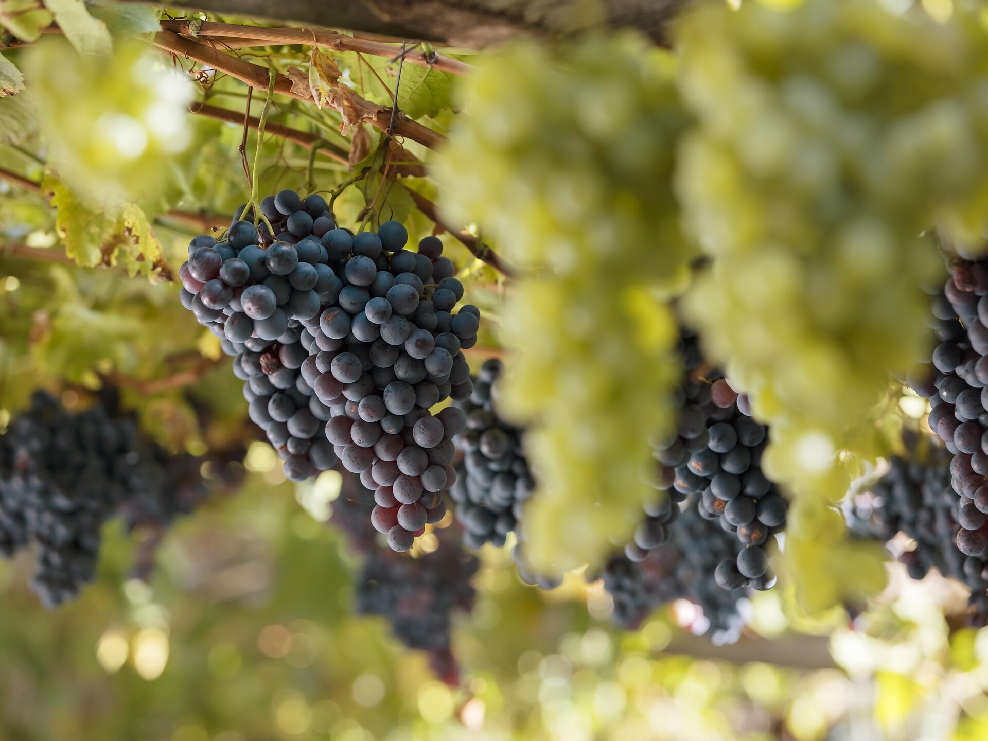
    The Pinot Noir Trail in the south of South Tyrol is a new educational path where you can learn more about our land’s culture and its wines. It winds through the famed Pinot Noir vineyards and along the Trudner Horn Nature Park. It starts at the quaint villages of Auer, Montan, and Neumarkt in the Unterland district and leads you through Italy’s best Pinot Noir terroirs in Mazon, Glen, and Pinzon. You can choose between a 16-km-long one-day outing or three half-day tours.
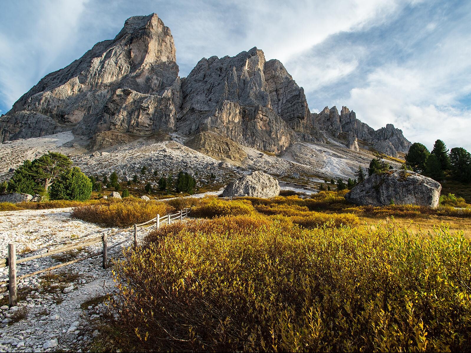
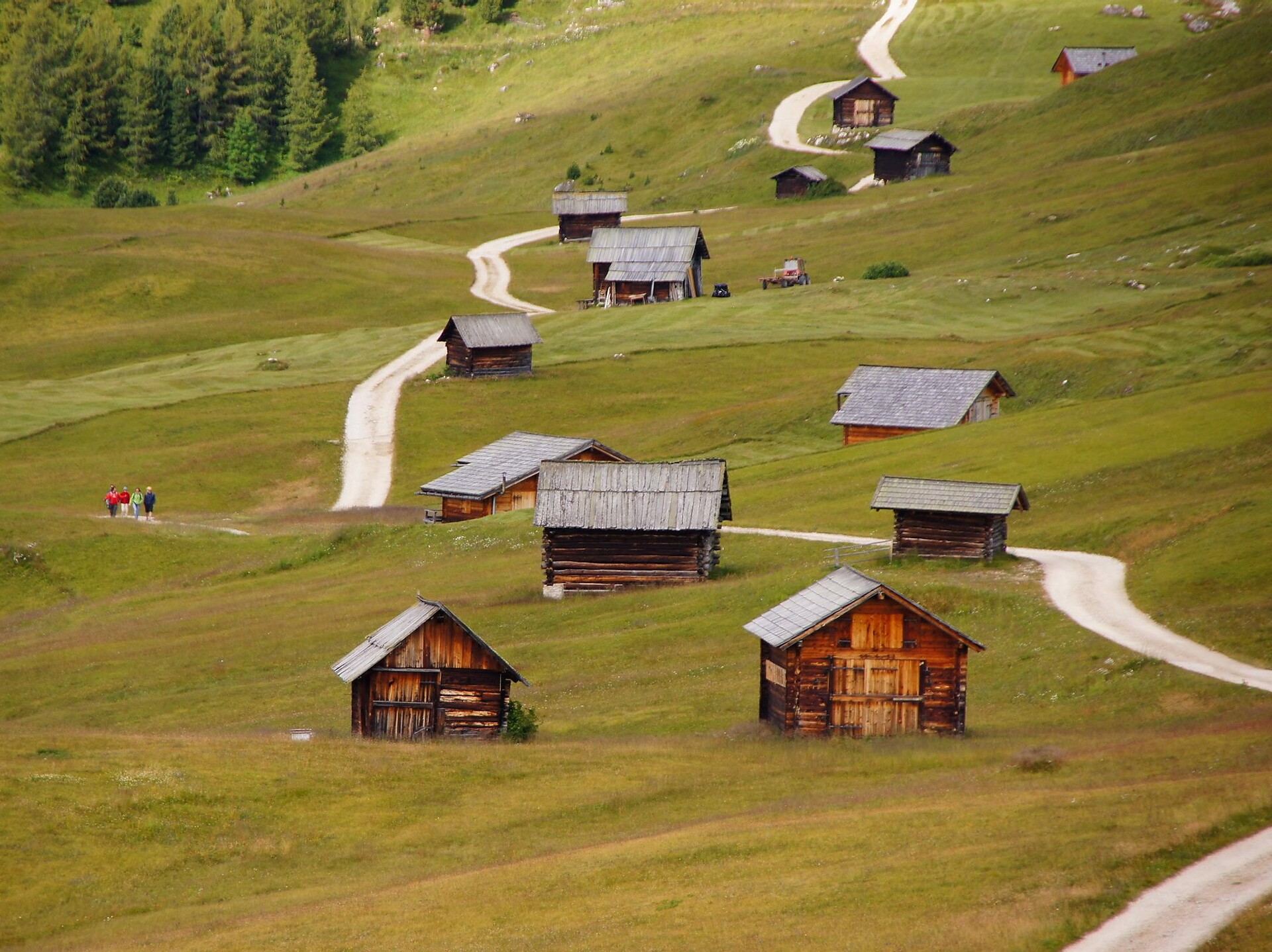
    Along the way, hikers and strollers will encounter various historical spots and cultural highlights – e.g., the significant archeological sites of Castelfeder, the oldest segment of the Fiemme Valley railway, St. Stephan’s Church in Pinzon with its late-Gothic Altar by the Master Hans Klocker, the idyllic St. Michael’s Church in Mazon, the ruins of Kaldiff, and the handsome Enn Castle. Along the way, information panels and interactive stations will help you learn more about this unique wine-growing area and its history. You’ll be rewarded with stunning views of the Unterland district. The differences in elevation shouldn’t be a problem as most of the route is relatively level. But there’s a lot to explore and discover, for young and old alike! It’s easy, comfortable, and suitable for
    families. The route is open 12 months a year. A red “B” will lead the way.

    Obtížnost: střední
    607 m nadmořská výška
    4h:49 min doba trvání
    Hiking
    Summer hiking tour - Lago di Braies/Pragser Wildsee - Mountain "Croda del Becco/Seekofel"
    Prags/Braies, Dolomites Region 3 Zinnen

    Specatcular peak with breathtaking 360°-view! Along the western shore of the lake to the south-eastern end of the lake, then upwards to Buco del Giavo/Nabiges Loch cross the valley to the other side and to the right to Porta sora al Forn. From there, the trail branches off to the right over rocky terrain to the summit. Exposed sections are secured with wire rope. Sign-post: No 1, from “Rifugio Biella” without number - marked in red Challenge: very demanding, vertigo and slip resistance required!
    The walking time is 4,5 hours

    Obtížnost: vysoká
    0 m nadmořská výška
    3h:30 min doba trvání
    Mountaineering
    Via Ferrata Fennberg
    Kurtinig an der Weinstraße/Cortina sulla Strada del Vino, Alto Adige Wine Road

    An almost vertical chimney makes the beginning of the via ferrata found 3.8 km south of Margreid. This is followed by rock passageways with brackets, wire ropes and iron ladders. A partially exposed hiking trail leads through scrub forest to the last rock passage (summit book). Then follows a short secured route, until the trail merges into a forest path that leads to the first houses of Unterfennberg. After approx. 300 meters on a paved road, a forest path branches off to the left - marking 3 -. On this you reach the meadow and lake of Unterfennberg (1047 m), where there are two restaurants.

     There are two options for the way back: on the "normal way" (signpost 3) to Margreid and from there either by taxi - taxi Boccher Tel. +39 3356142064 - or on foot about ¾ hour to the starting point. Or from Unterfennberg south following the mark 502 B to Aichholz (Roverè della Luna). From the center on asphalt in a northerly direction about 2 km to your starting point.

     Tip: Do not start too late; the rock walls heat up very fast!

    Obtížnost: střední
    915 m nadmořská výška
    4h:22 min doba trvání
    Hiking
    Round trail Lago Göller
    Aldein/Aldino

    A varied itinerary with panoramic views, water and history for the hole family at Aldino.

    Obtížnost: nízká
    225 m nadmořská výška
    1h:58 min doba trvání
    Sledging Trail
    Sledging Trail Absam
    Deutschnofen/Nova Ponente, Dolomites Region Eggental

    The new 750 m long toboggan run Absam starts from the Epircher Laner hut and goes to the valley station of the Absam-Maierl lift.

    Acent with the new combilift.


    Obtížnost: nízká
    0 m nadmořská výška
    0h:07 min doba trvání
    Local tours
    Farmhouse tour in Kurtatsch
    Kurtatsch an der Weinstraße/Cortaccia sulla Strada del Vino, Alto Adige Wine Road

    Discover the old buildings of Kurtatsch and their history during a walk around the historic wine village. Find out what a "Schnoatstall" is, where the former jail was or who lived in the "Nocker" house. The tour information can be accessed via QR-codes on the buildings.

    The complete village tour lasts about 2 1/2 hours, but it is easily shortened.

    Info in the tourist office, tel. +39 0471 880100

    Obtížnost: nízká
    152 m nadmořská výška
    2h:34 min doba trvání
    Hiking
    Round of Pütia
    San Martin /San Martino, Dolomites Region Kronplatz/Plan de Corones

    ROUND OF PÜTIA (total walking time: 4 hours)
    From Passo delle Erbe, this hike along trail 8a runs though stunning pastures. At the foot of the north face of Pütia, turn right at the fork and take trail no. 4 to the Forcella di Pütia pass. At Forcella di Putia, head south down to the Göma pass across the pastures and then on to the north face of Sasso Putia and back.

    Obtížnost: střední
    642 m nadmořská výška
    4h:01 min doba trvání
    Lifts
    Schnalstal Glacier Cable Car
    Schnals/Senales, Vinschgau/Val Venosta

    The majestic Hochjochferner glacier lies along the border between Austria and Italy. The glacier cable car overcomes more than a thousand metres in altitude in six minutes and takes guests from Maso Corto up to 3,212 metres. Every year from September to May, winter sports enthusiasts hit the slopes at this world class 185-acre natural park. The glacier is equally suited to beginners and experienced skiers, as well as families. The real crowd pleaser is especially the 8 km long Schmuggler downhill slope leading into the valley. 


    Obtížnost: nízká
    0 m nadmořská výška
    0h:06 min doba trvání
    Themed Hikes
    Pinot Noir Walkway - alternative route: Montan/Montagna - Glen/Gleno - Montan/Montagna
    Montan/Montagna, Alto Adige Wine Road

    The Pinot Noir walkway leads through the Pinot Nor growing area along the Trudner Horn/Monte Corno Nature Park and the characteristic villages of Auer/Ora, Montan/Montagna and Neumarkt/Egna. The Pinot Noir growing area in Montan and Mazon/Mazzon is one of the most famous in Italy. Furthermore you walk through several monuments and historical places. The walkway is family-friendly and not dangerous.

    Obtížnost: nízká
    140 m nadmořská výška
    1h:10 min doba trvání
    Long-Distance Hiking Paths
    Circular Hike in the Trudner Horn Nature Park
    Truden/Trodena

    From the col at the northern end of Trodena/Truden, a trail leads south along the Forchwaldegg to the Rungganöhof farm. We continue walking along a forestry trail over meadows and then change to trail no. 5 through the forest to the shack "Peraschupf". If the weather is fine, you can enjoy an amazing view to the north of the mountain "Regglberg" and all the way back to the "Texelgruppe" and the Alps of the "Zillertal". Continuing through newly planted trees and humid habitats to the moorland "Langes Moos" and then to the alpine farm "Krabesalm"  (open in summer, 1.540 m). By continuing to walk slightly downhill from here (no. 9 marker) we get to the col "Ziss-Sattel", the old edge between Anterivo/Altrei and Trodena. We return to Trodena along the European long distance path E5 through spruce and pine forests.

    Obtížnost: střední
    544 m nadmořská výška
    3h:49 min doba trvání
    Climbing
    Via ferrata Les Cordes
    Badia, Dolomites Region Alta Badia

    The via ferrata Les Cordes, classified as medium to moderate, is a climb with great view points. The via ferrata was built on the edge of the Puez-Odle Nature Park along a centuries-old route.

    Many, many years ago, the farmers of La Villa brought their cows and horses to the Gherdenacia plateau on very steep path. The trail was much steeper and more demanding than all the paths that today lead to the Plateau. The path was called "les cordes" (Ladin for "the ropes").

    In 2019 a via ferrata, also called "Les Cordes", was built along this route. The starting point of the via ferrata can be easily reached with the Gardenaccia chairlift. From the mountain station of the chairlift it is than only about 5 minutes to the start.

    Obtížnost: střední
    238 m nadmořská výška
    0h:39 min doba trvání
    Themed Hikes
    Via Vinum Venostis
    Kastelbell-Tschars/Castelbello-Ciardes, Vinschgau/Val Venosta

    The new theme path provides an insight into viniculture and wine history and spans an arc between agriculture and gastronomy. Different information panels describe local grape varieties, landscape and culinary specialties. The Val Venosta wine path is perfectly walkable from Easter to November and takes you along the irrigation channel paths (Latschander irrigation channel path and Senales irrigation channel path) over long distances. This hike of about 2.5 hours can be made in both directions and it is also possible to choose specific sections only.

    Obtížnost: střední
    258 m nadmořská výška
    2h:40 min doba trvání
    Mountaineering
    4 Peaks Alta Badia
    Badia, Dolomites Region Alta Badia

    Adventure, adrenalin and breath-taking views: all this lies store for you in the exciting "4 Peaks Alta Badia" Challenge. The aim of this challenge is to conquer the four summits Sas dla Crusc - Santa Croce 2,907m, Piza dales Diesc - Cima Dieci 3,026m, Lavarela 3,055m and Conturines 3,064m, on the edge of the Fanes-Sennes-Prags Nature Park in the Dolomites UNESCO World Heritage site.

    The ascent of these four mountains is to be attempted only by experienced climbers, as these peaks cannot be reached just on easy well-sign-posted pahts, but also via routes with some very exposed sections.

    To take part in the "4 Peaks Alta Badia" Challenge you will need to register online at www.4peaks.it.

    As proof of your achievement you will have a pass which must be stamped every time you reach one of the four summits. All those who manage to complete the challenge in two or more days will have the title “Alta Badia Finisher” conferred upon them.

    If you manage to complete the ascent of all four summits in one day you will be crowned with the coveted and highly deserved title of “Alta Badia Mountaineer”. Both as a Finisher and as a Mountaineer, you will then take a place of honour in the "Wall of Fame", which can be viewed online.

    Obtížnost: vysoká
    2000 m nadmořská výška
    10h:01 min doba trvání
    Snowshoe Hikes
    Snowshoe Hiking Col di Poma/Zendleser Kofel
    Villnöss/Funes, Dolomites Region Villnösstal

    Start at Car park Zans (1680 m) towards the hut Kaserill Alm and continue via Wörndle Loch to the summit cross of Zendleser Kofel (2423 m).

    Obtížnost: střední
    744 m nadmořská výška
    3h:13 min doba trvání
    Hiking
    Hiking to the "Leiterburg"
    Auer/Ora, Alto Adige Wine Road
    Starting from theHauptplatz/Piazza Principale in Auer, through the beautiful, historic labyrinth of alleys in the direction of the waterfall. Via the "Katzenleiter" hiking path steeply uphill to the beautiful "Leiterburg".
    Once there, a fabulous view over the entire valley awaits the hikers. On this historical site you will find old wall remains and traces of the former castle.
    The way back is via the "Lahnweg".
    Obtížnost: střední
    451 m nadmořská výška
    1h:49 min doba trvání
    Mountaineering
    Climb to the "Ciaval" peak on the Sas dla Crusc/Santa Croce
    Badia, Dolomites Region Alta Badia

    One of the most beautiful hikes in Alta Badia and the Dolomites.

    Untouched nature, vertical walls soaring skywards that turn red at sunset, and a breathtaking view extending over the green valley of Badia on one side and the legendary landscape of the Fanes Alp on the other. The characteristic Dolomite flora, along with marmots and chamois goats, all combine to make this a truly unforgettable walk.

    Obtížnost: vysoká
    985 m nadmořská výška
    6h:00 min doba trvání
    Mountaineering
    Climbing the Gran Cir peak at sunrise
    Corvara, Dolomites Region Alta Badia

    The first moments of the morning at the top of a peak, when the shy rays of the sun illuminate the surrounding rocks, making them glow a warm orange-gold colour: breathtaking moments that will remain engraved in your heart forever.
    Just outside Colfosco, on the bends of the Gardena pass, you can enjoy the inimitable spectacle of the Dolomite sunrise as you climb the peaks of the Cir group. Of all the possible climbs, that to the summit of the Gran Cir is the least difficult.

    Obtížnost: střední
    0 m nadmořská výška
    2h:04 min doba trvání
    Hiking
    Waterfall "Zur Hölle/All'inferno"
    Brenner/Brennero, Sterzing/Vipiteno and environs

    A narrow rocky gorge, thundering water, and a breathtaking view – the “Hölle” - the hell waterfall is an impressive natural spectacle you definitely shouldn’t miss. The water plunges about 46 metres down a steep rock face, creating a scene that is both powerful and mesmerizing.

    The waterfall is also known as a weather oracle: in good weather, fine spray rises and glistens in the sunlight, resembling smoke – that's when “Hell smokes.” On cloudy or rainy days, the effect disappears, giving the waterfall its reputation as a natural weather indicator.

    Your short hike to the “Hölle” begins conveniently at the parking area in Stein/Innerpflersch. First, you follow a paved road that soon becomes a well-maintained forest path. This peaceful walk through nature already makes the approach a special experience. After a while, you’ll reach a viewing platform offering an impressive first look at the waterfall.

    But your journey doesn’t end there: a narrow trail leads you to a stunning viewpoint, where you can enjoy not only the full beauty of the waterfall but also sweeping views of parts of the Pflersch Valley. On sunny days especially, it’s worth pausing here to soak in the serenity and raw power of this unique spot.

    Obtížnost: nízká
    93 m nadmořská výška
    0h:21 min doba trvání
    Hiking
    Adolf Munkel Trail
    Villnöss/Funes, Dolomites Region Villnösstal

    The Adolf Munkel Trail beneath the majestic Geisler mountain group is one of the most spectacular trails in the Dolomites.

    Obtížnost: střední
    593 m nadmořská výška
    3h:49 min doba trvání
    1 2 3 4 5 6 7 8 9 10 11 12 13 14 15 16 17