1 / 4
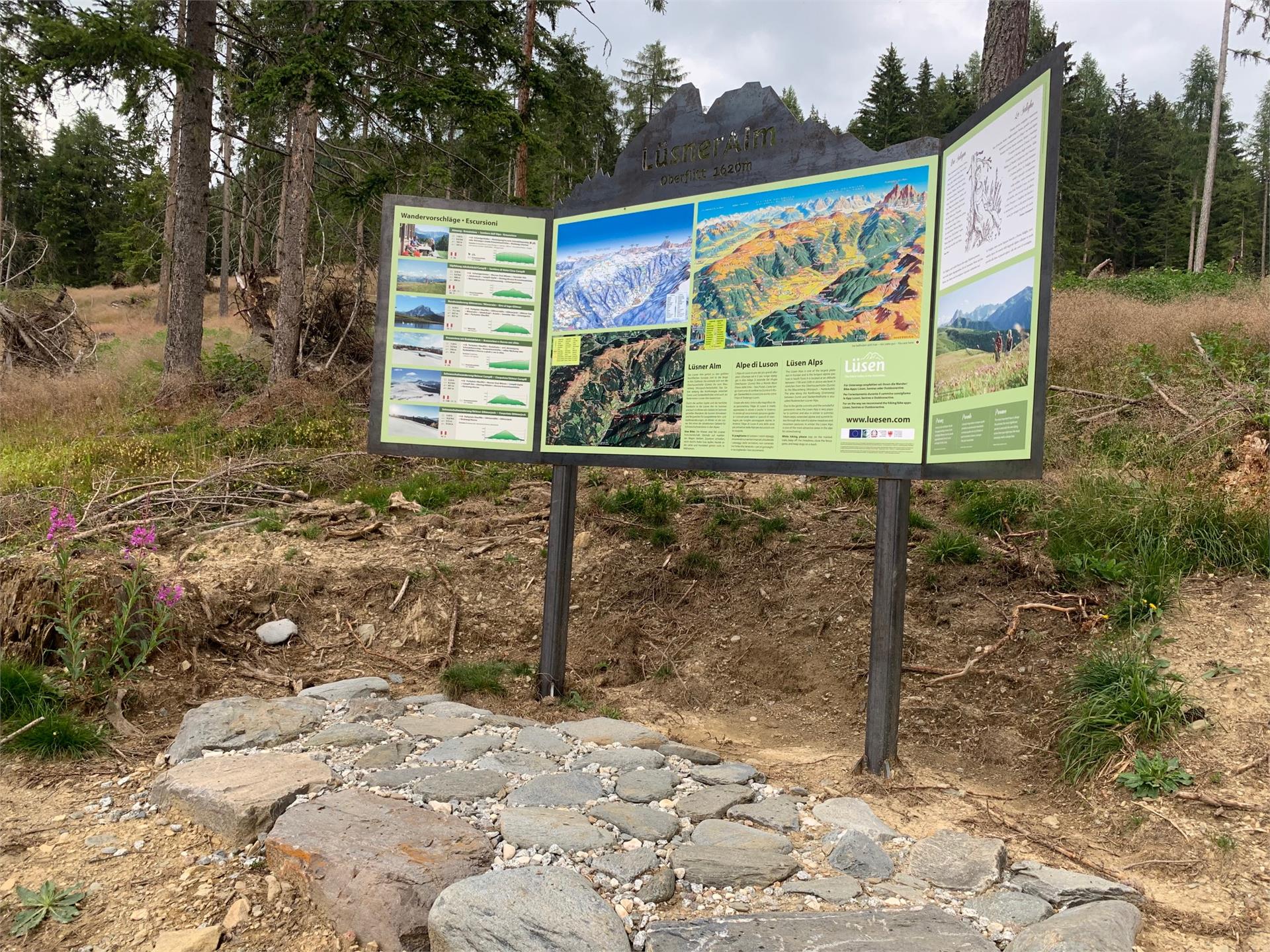
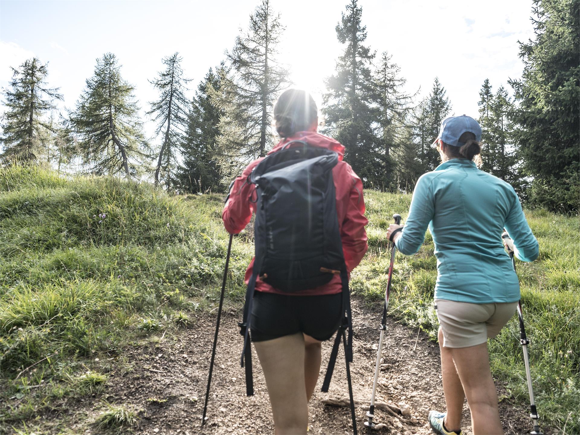
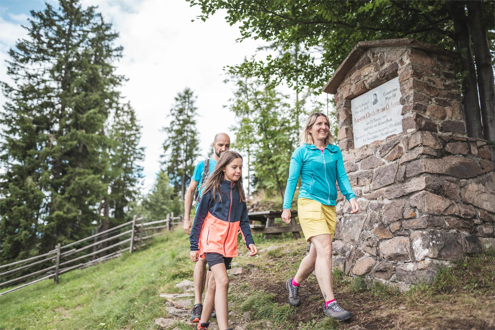
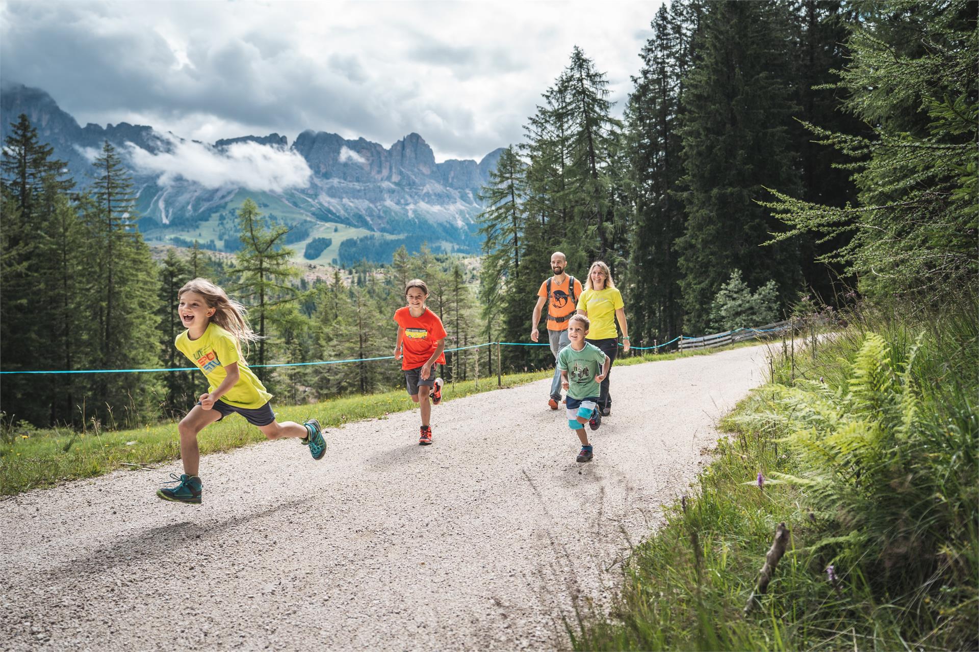
Hiking
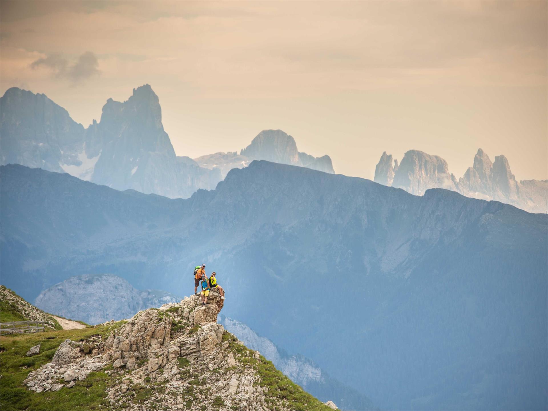
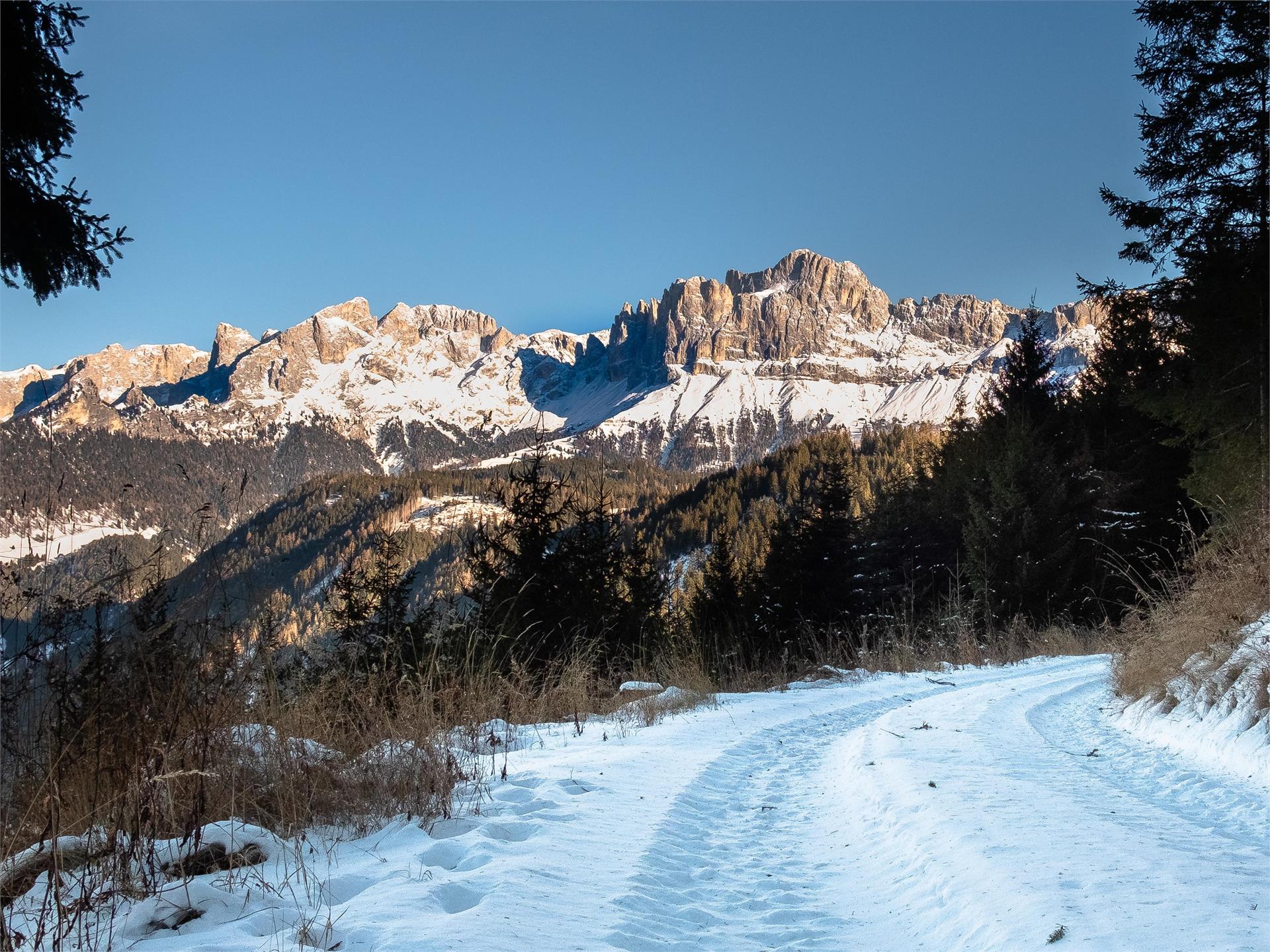
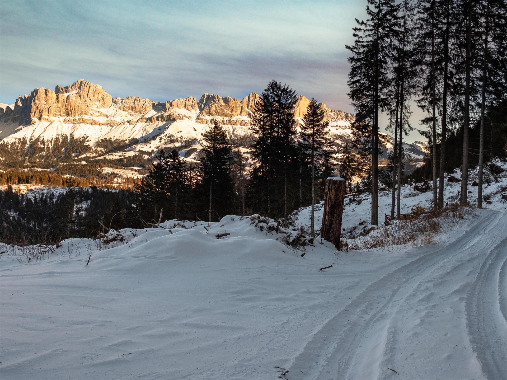
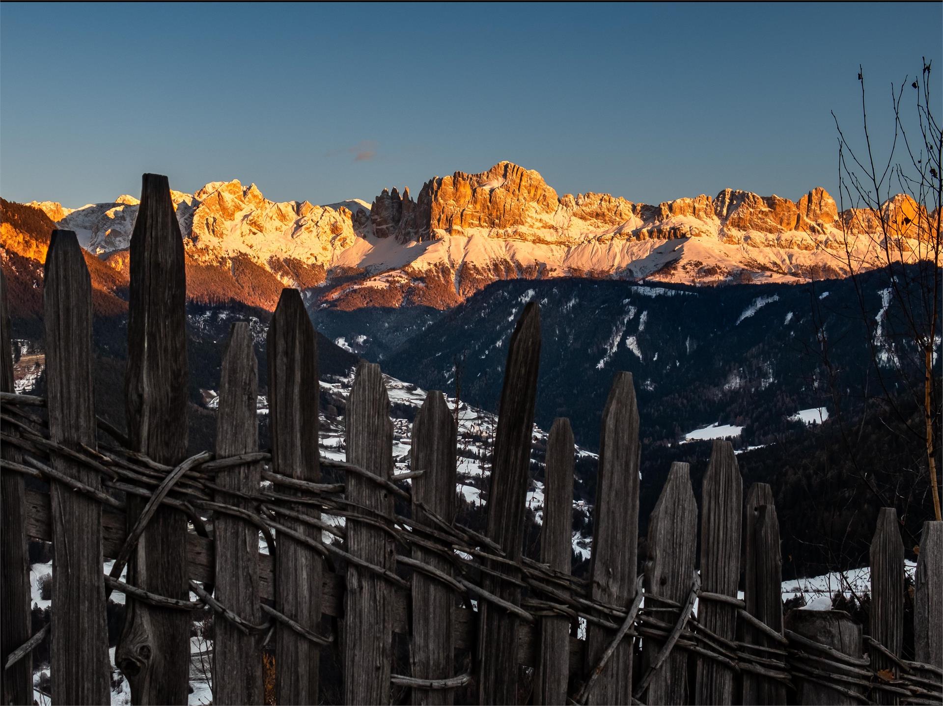
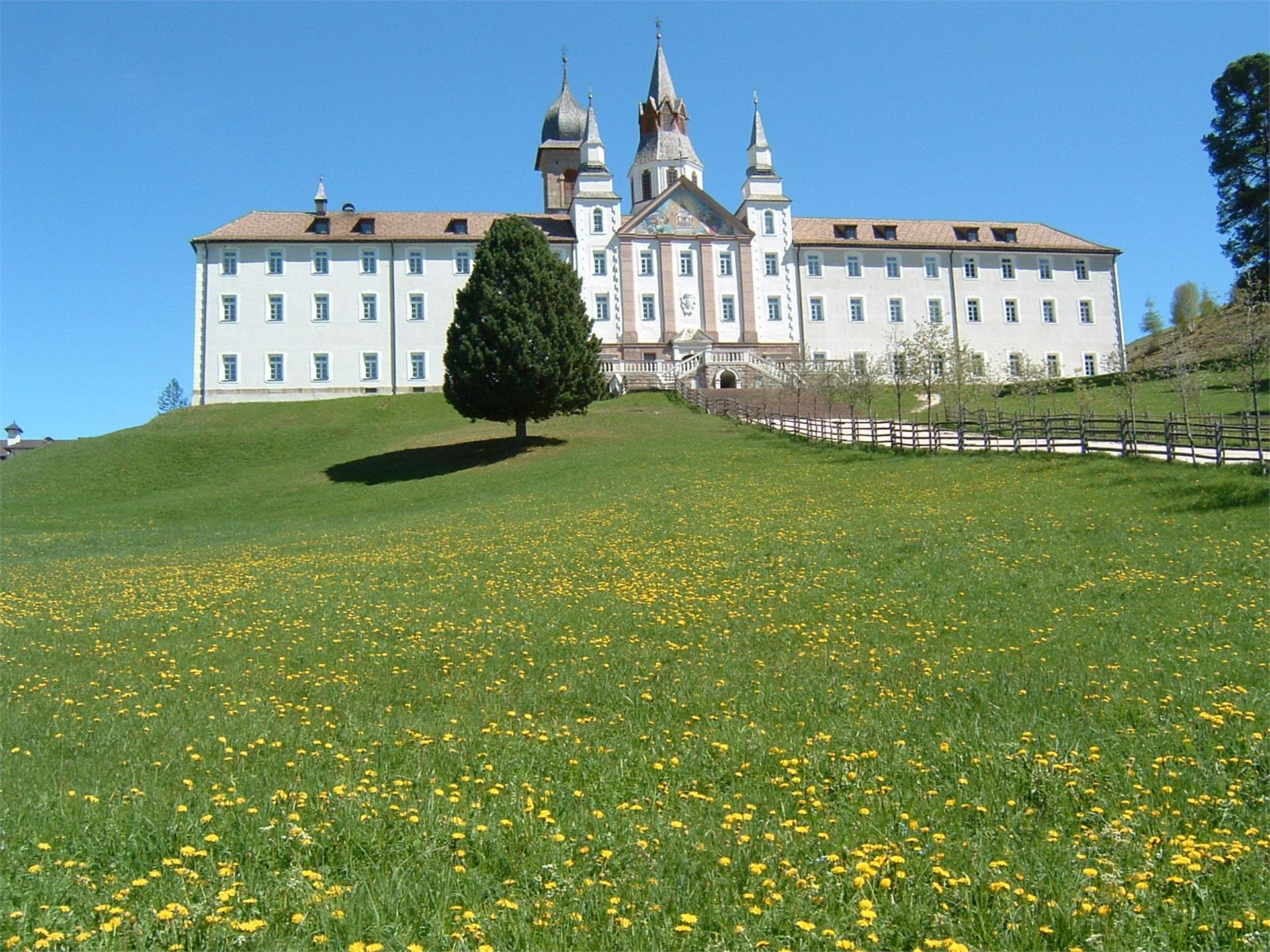
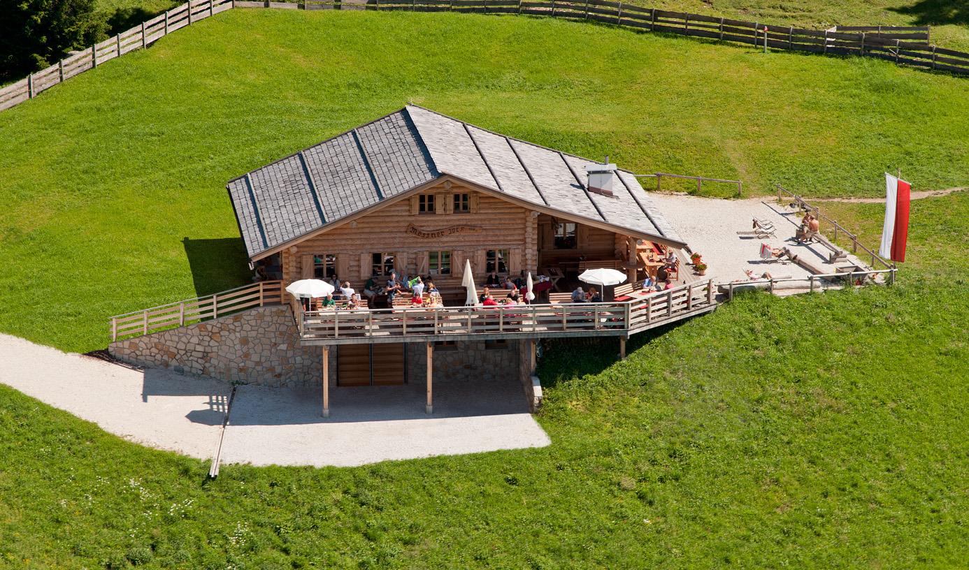
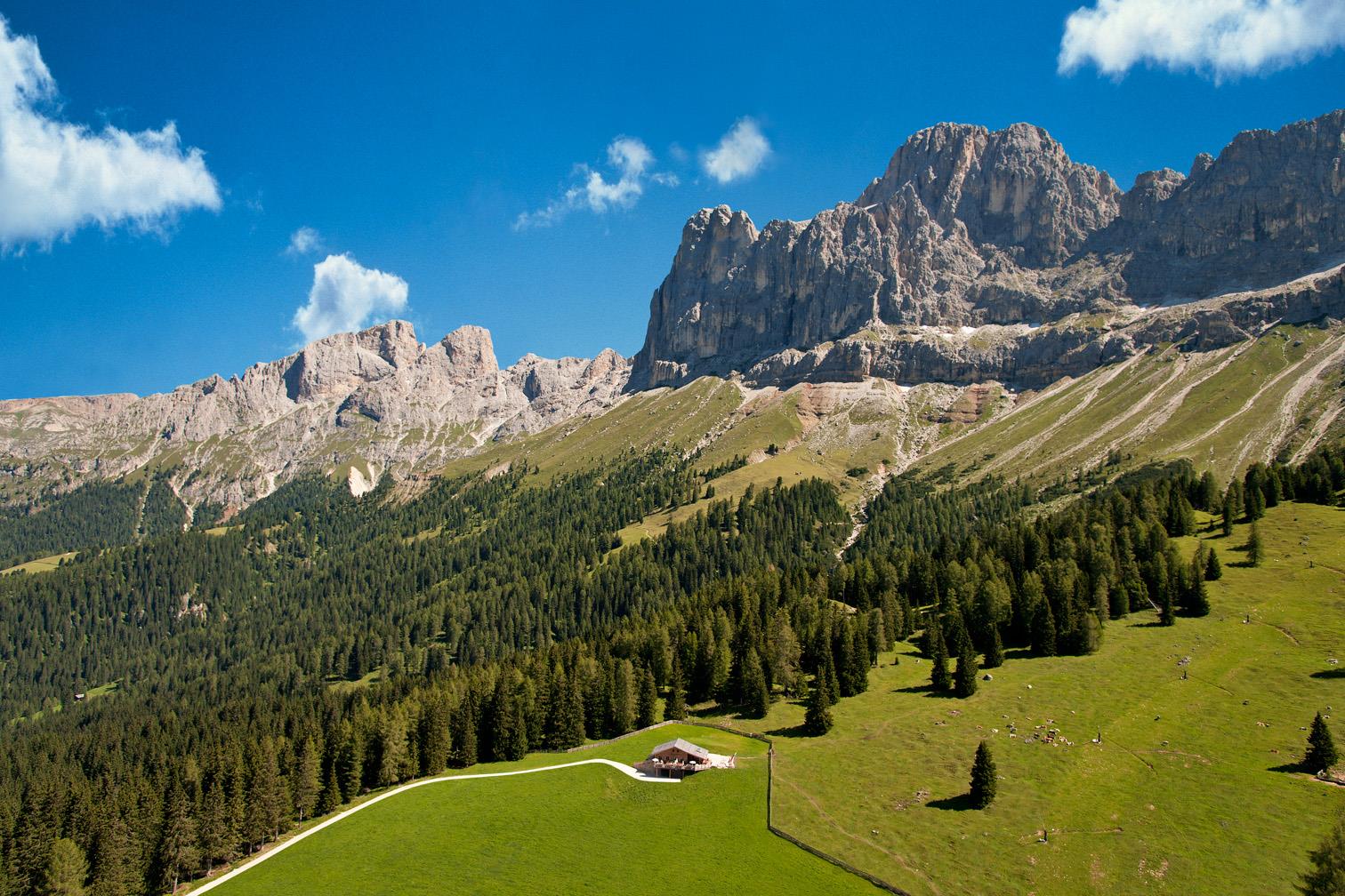
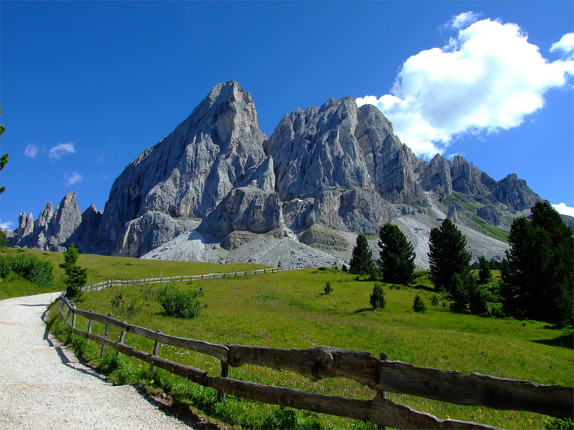
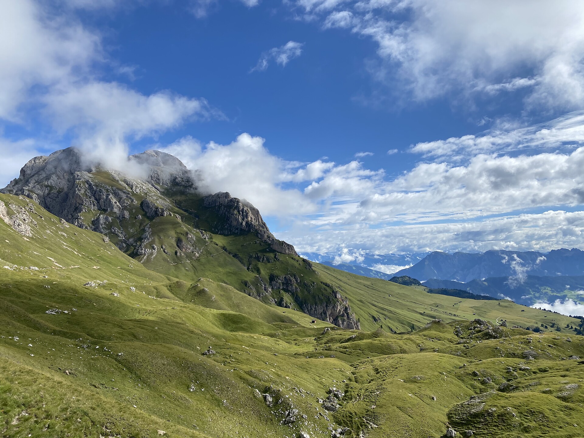
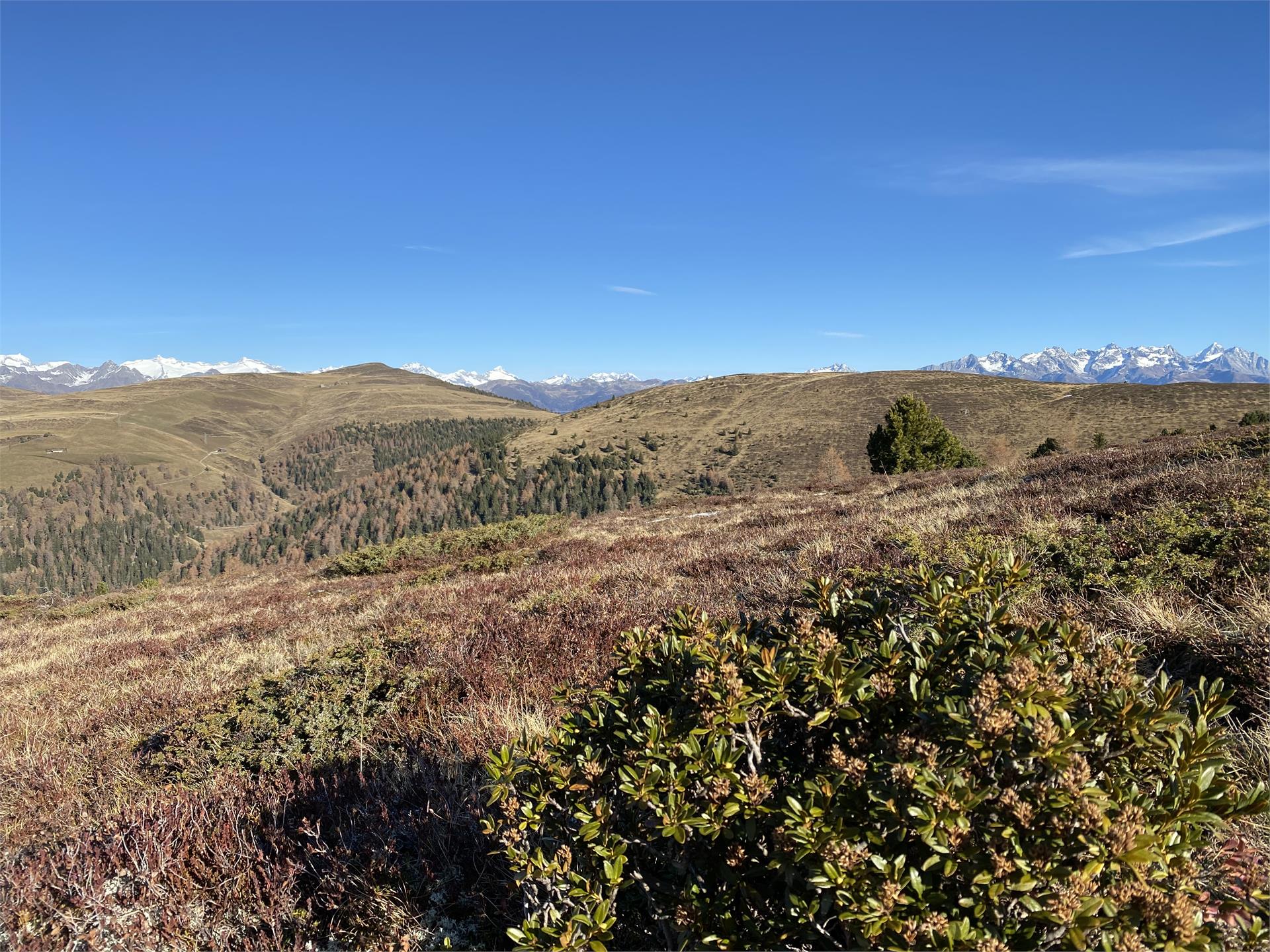
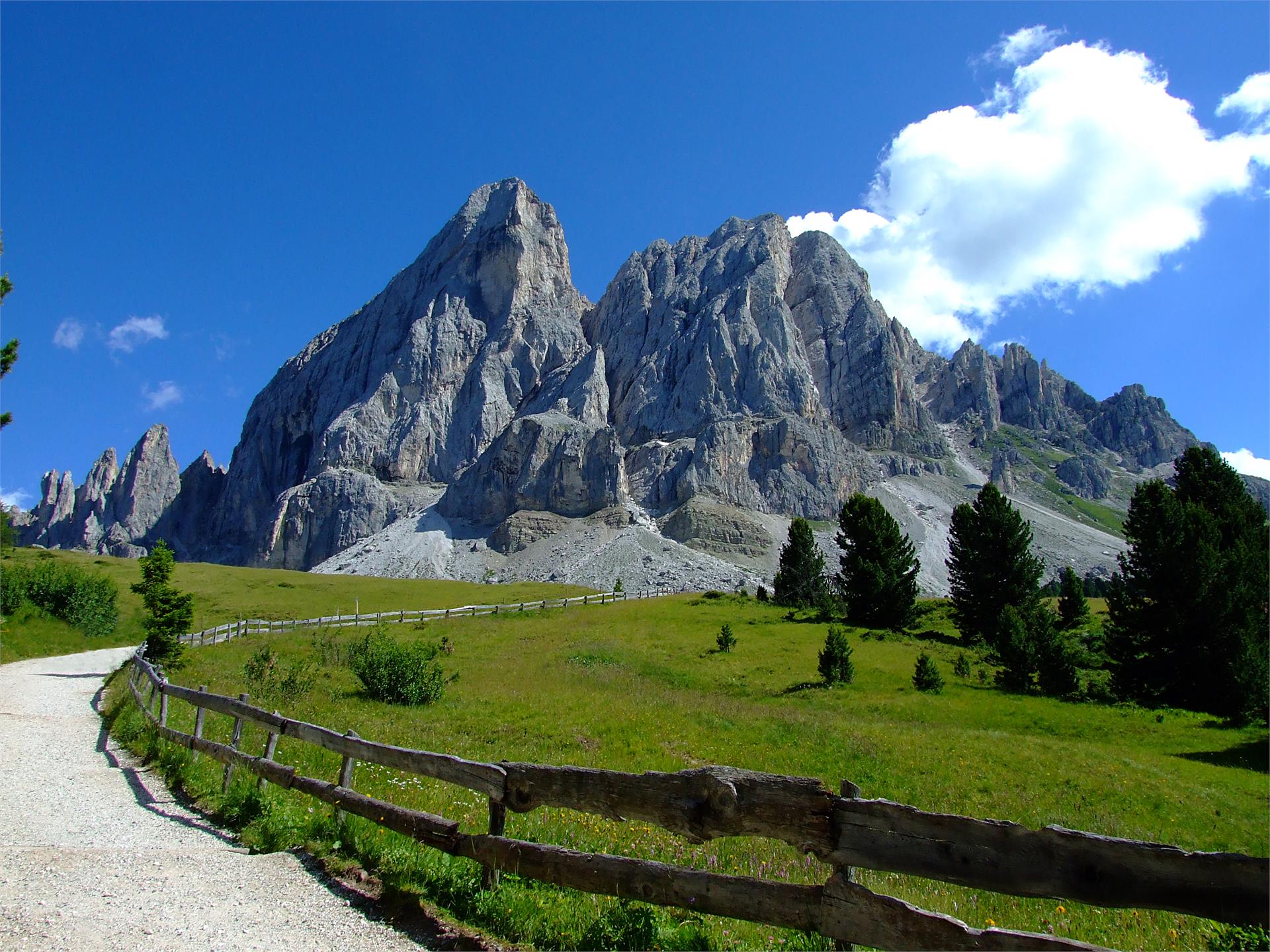
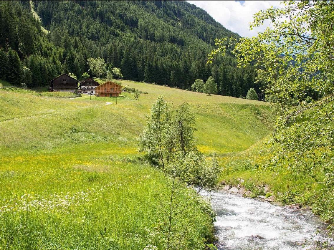
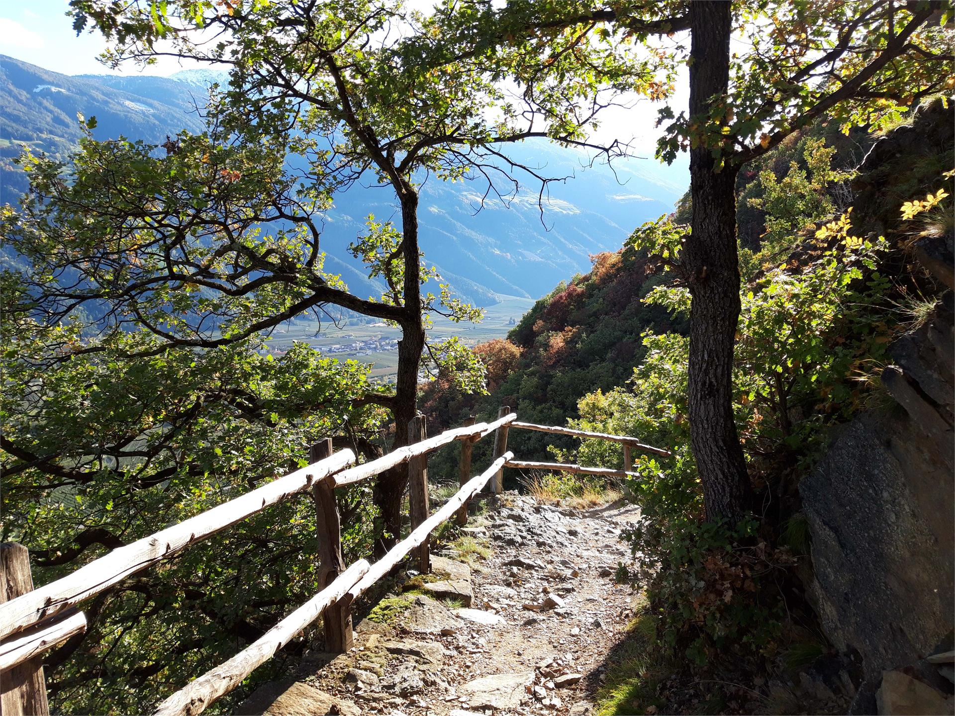
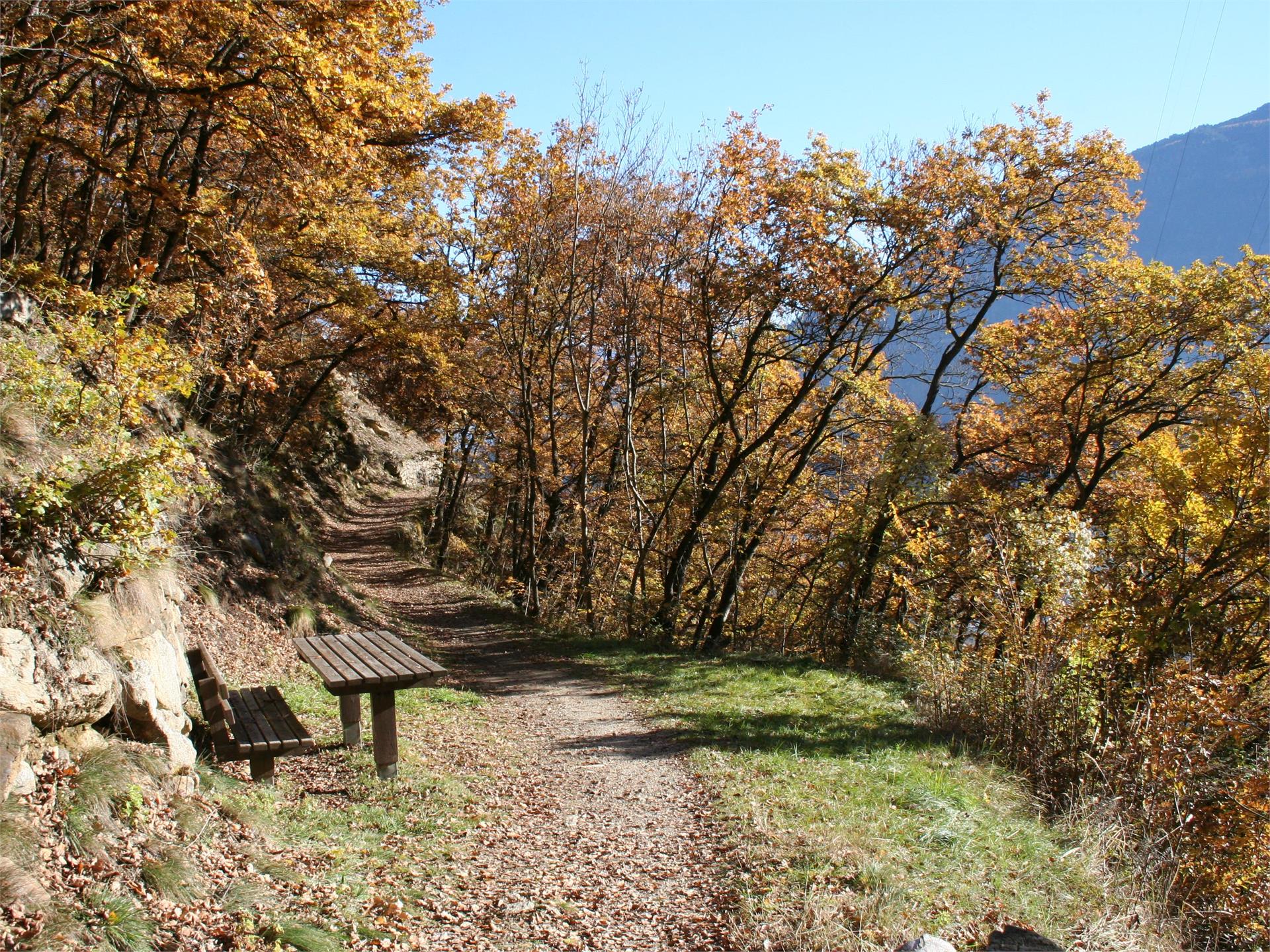
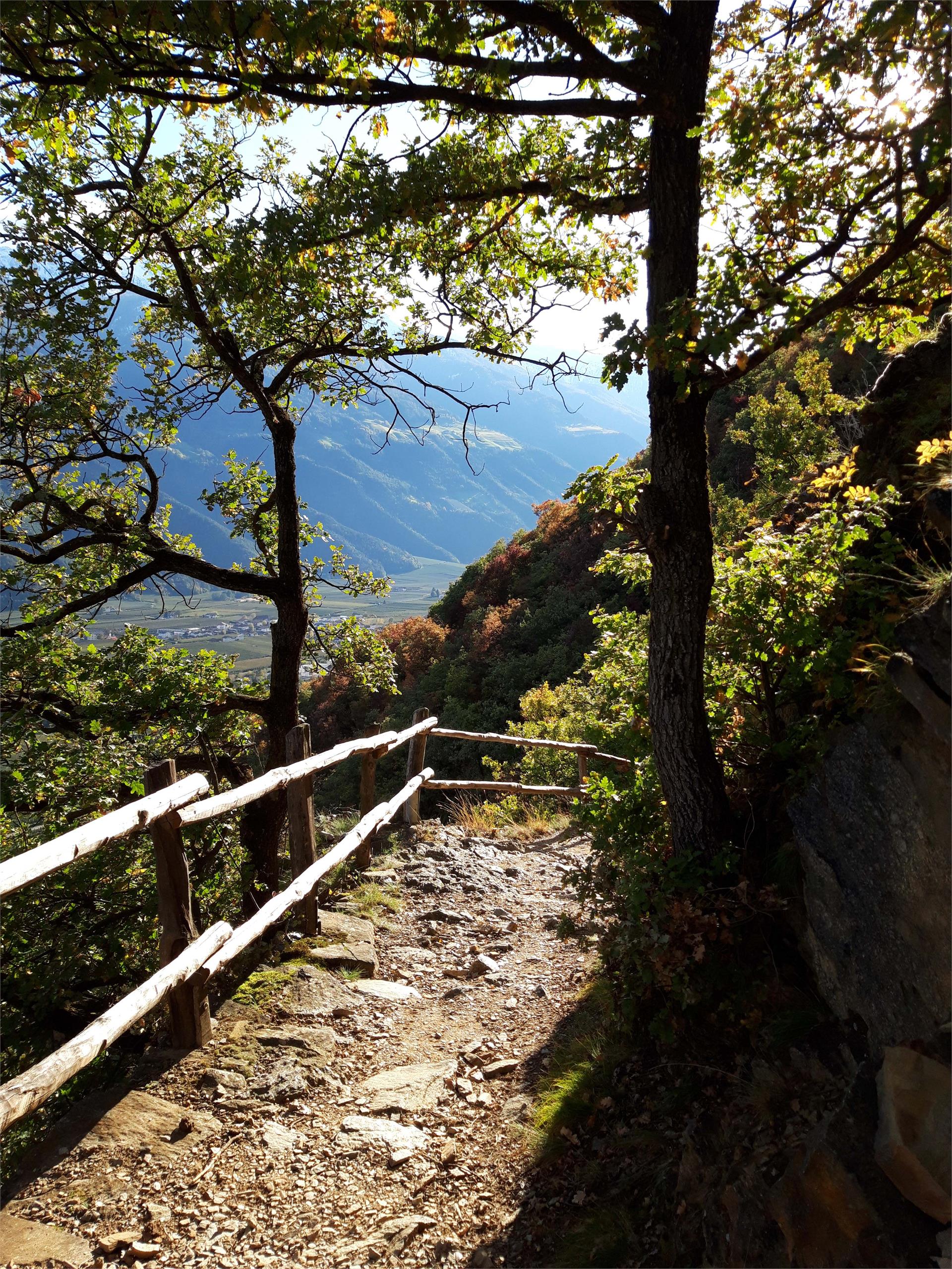
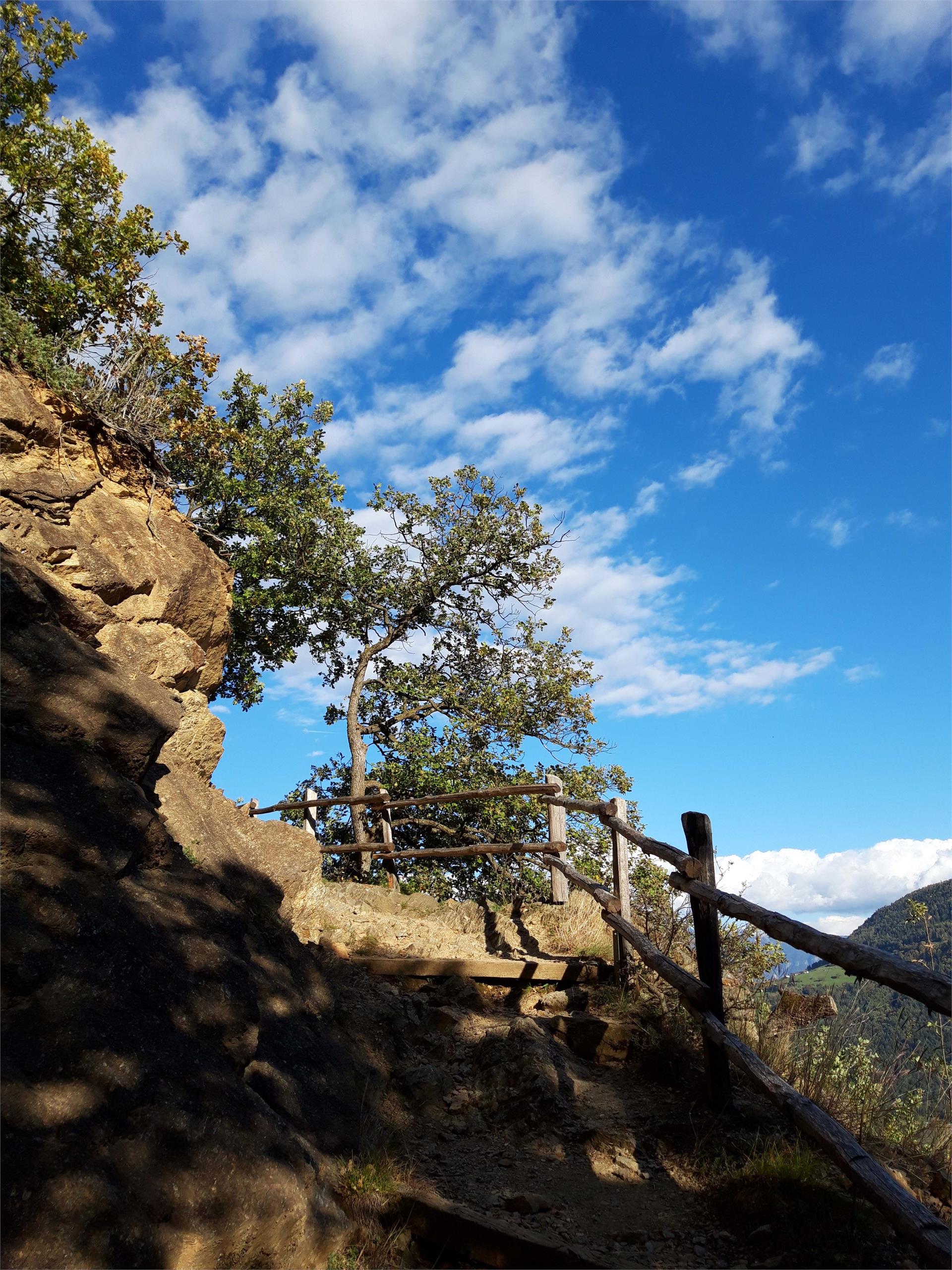
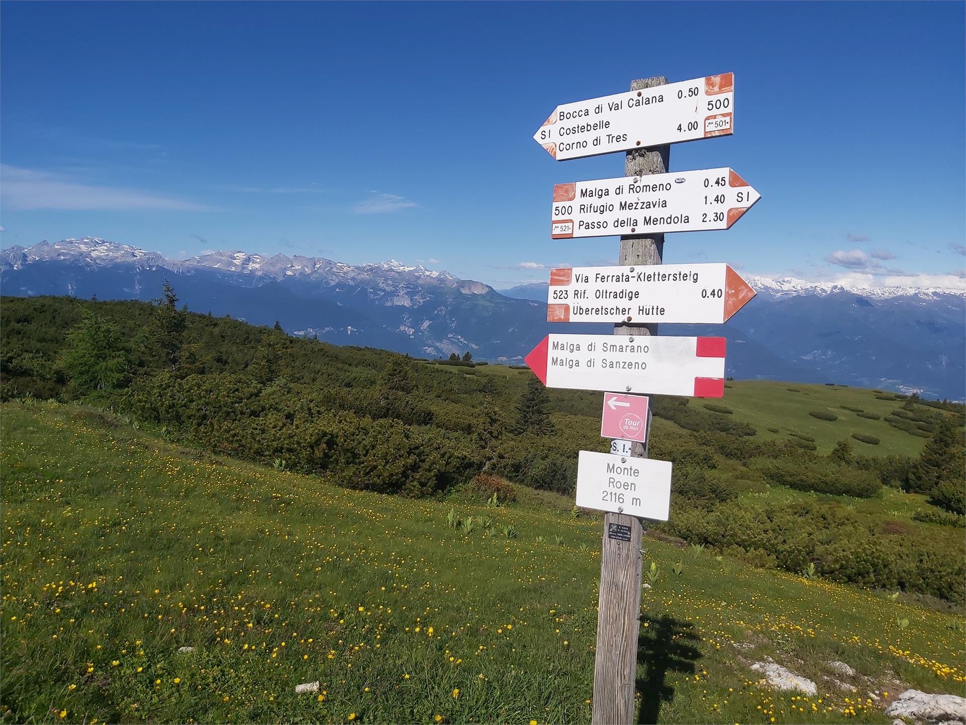
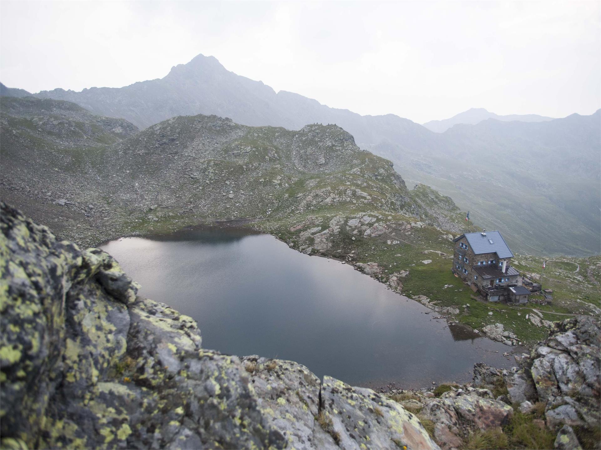
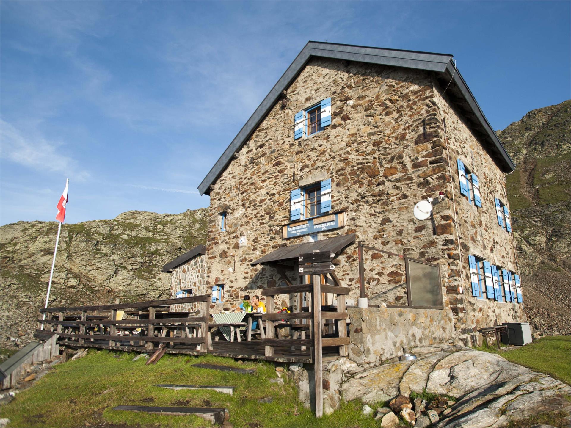
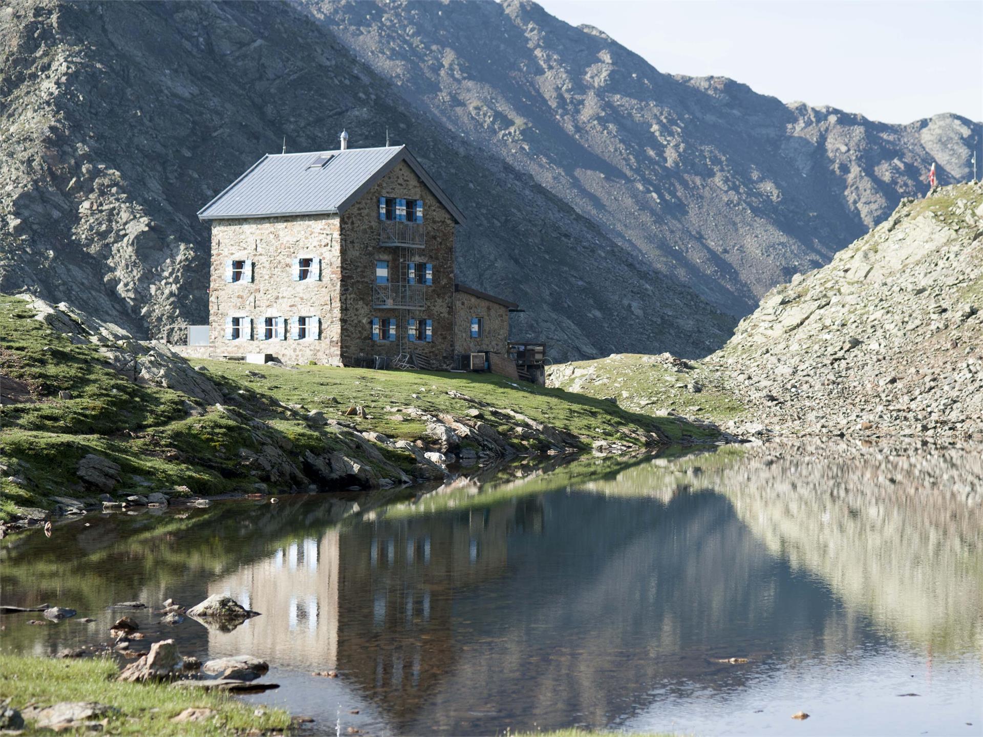
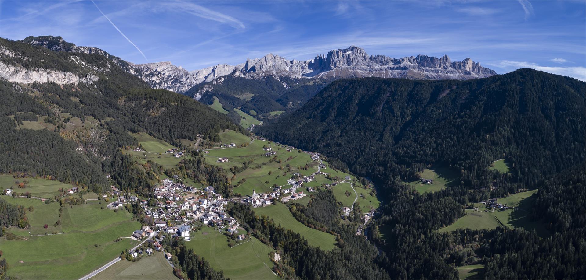
Schenna/Scena, Meran/Merano and environs
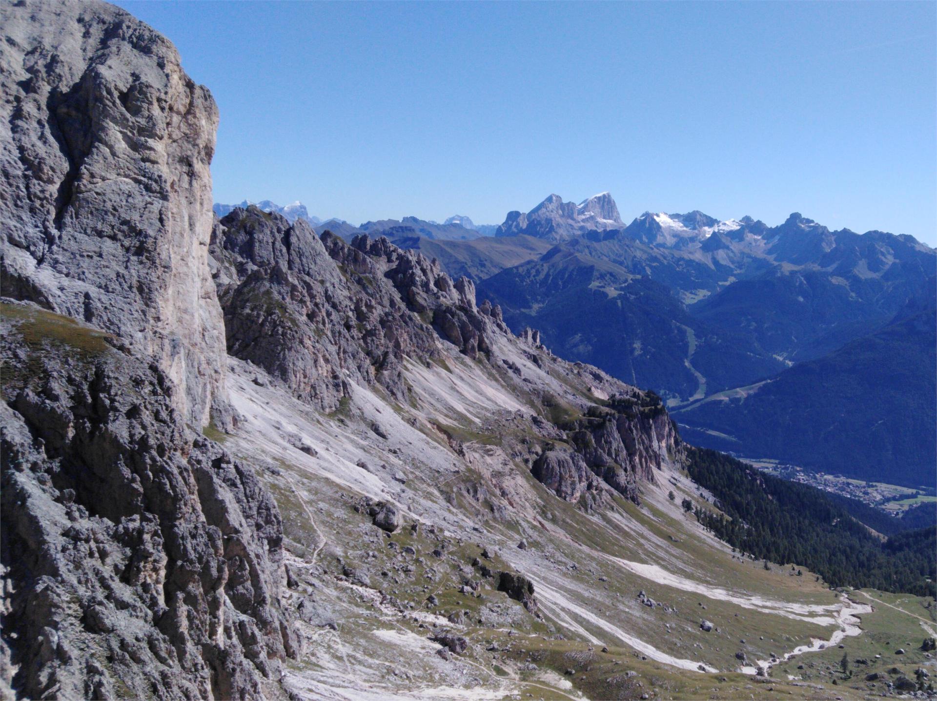
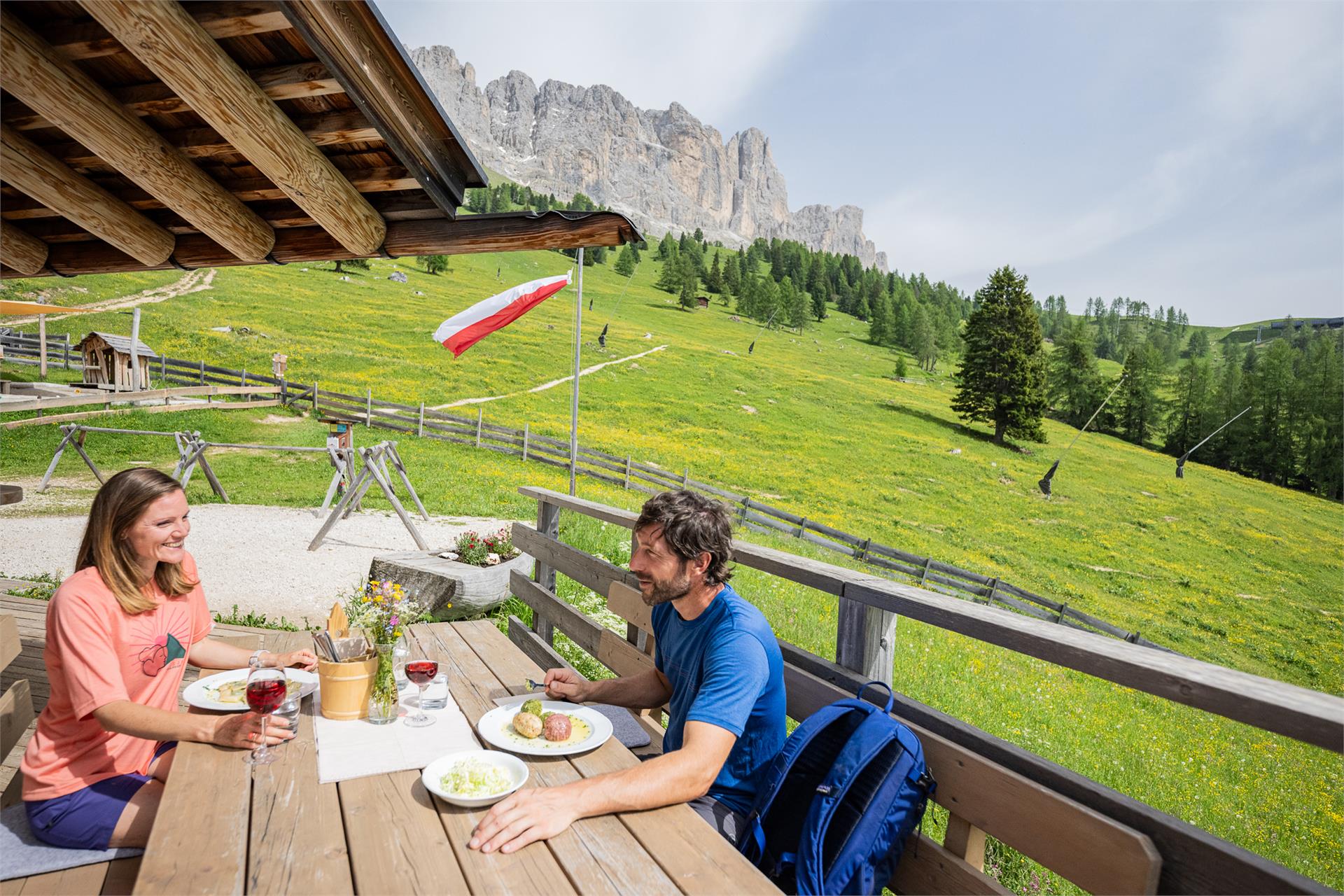
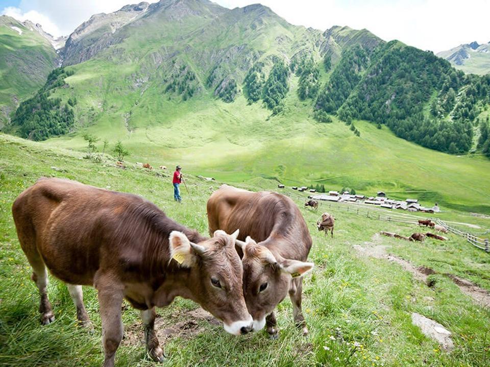
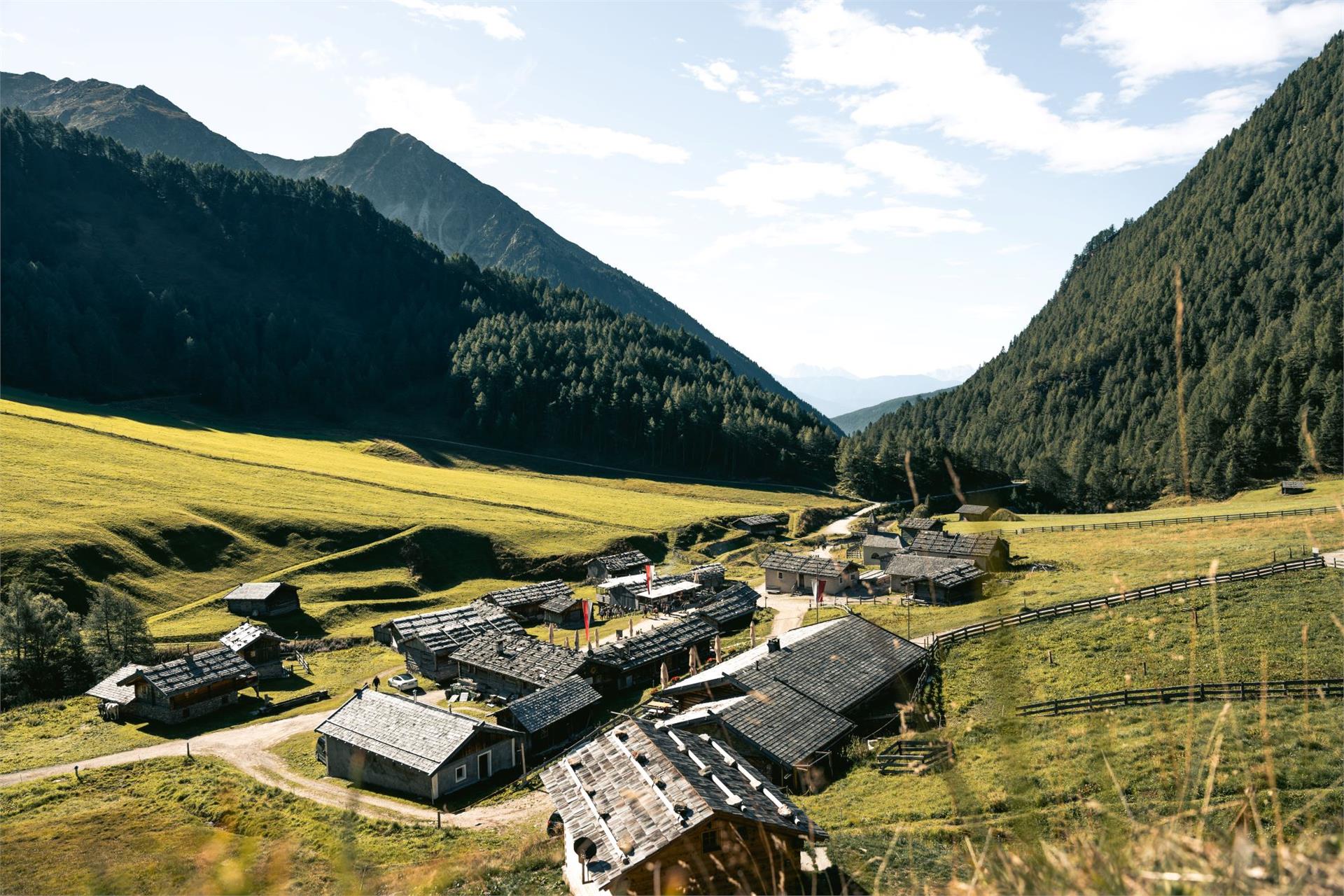
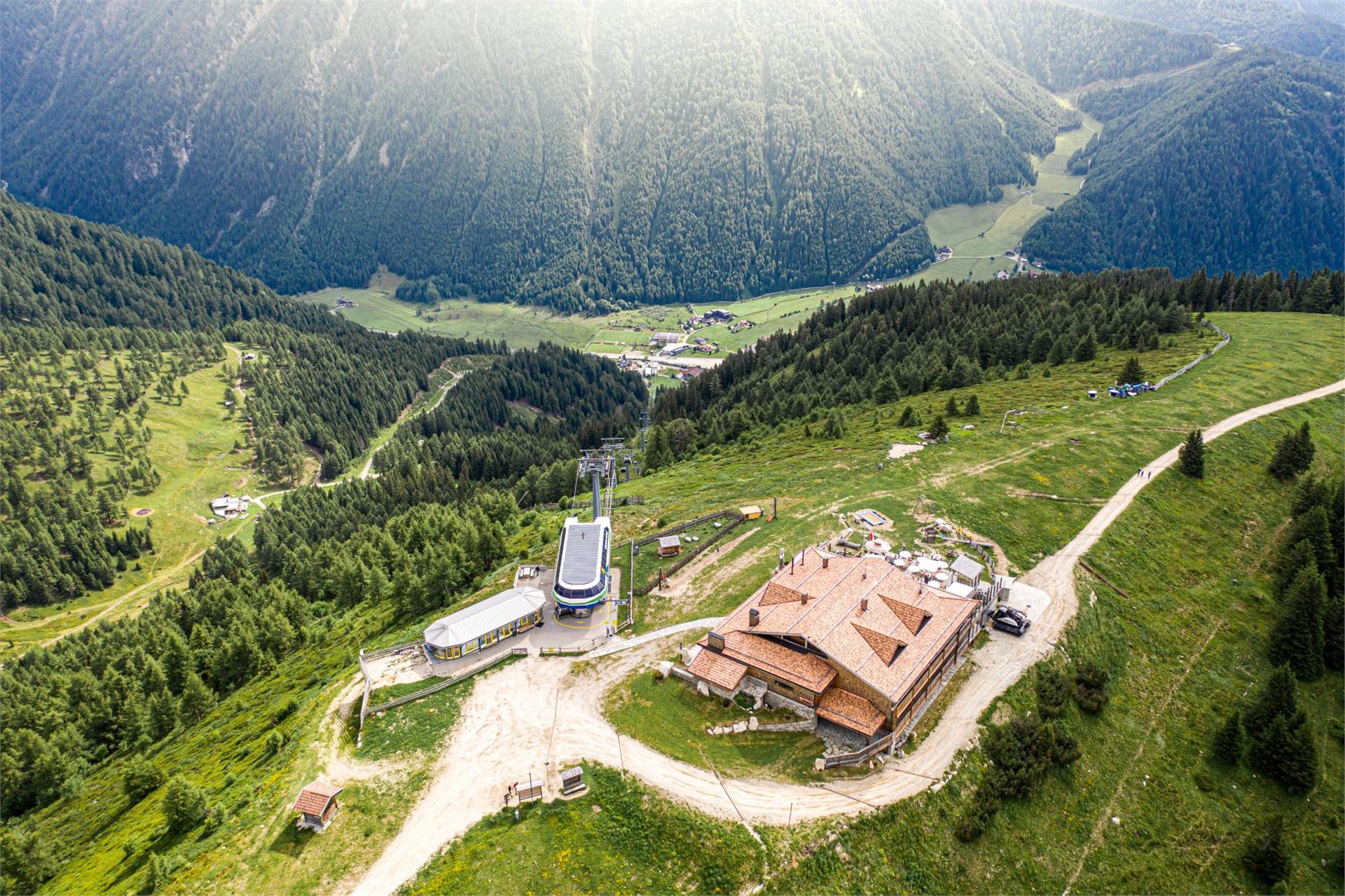
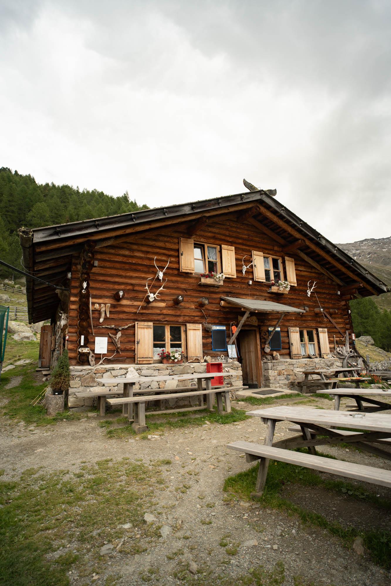
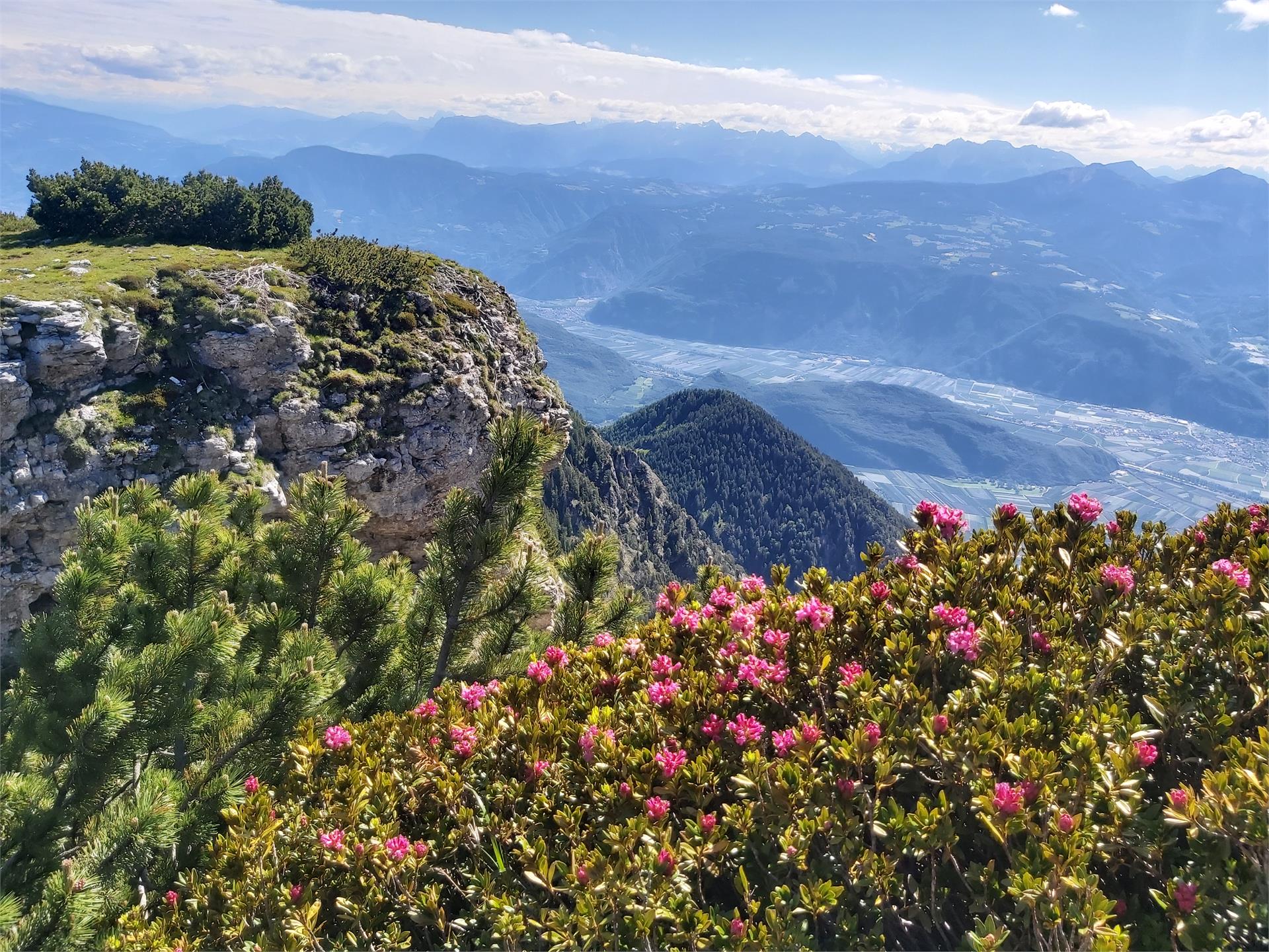
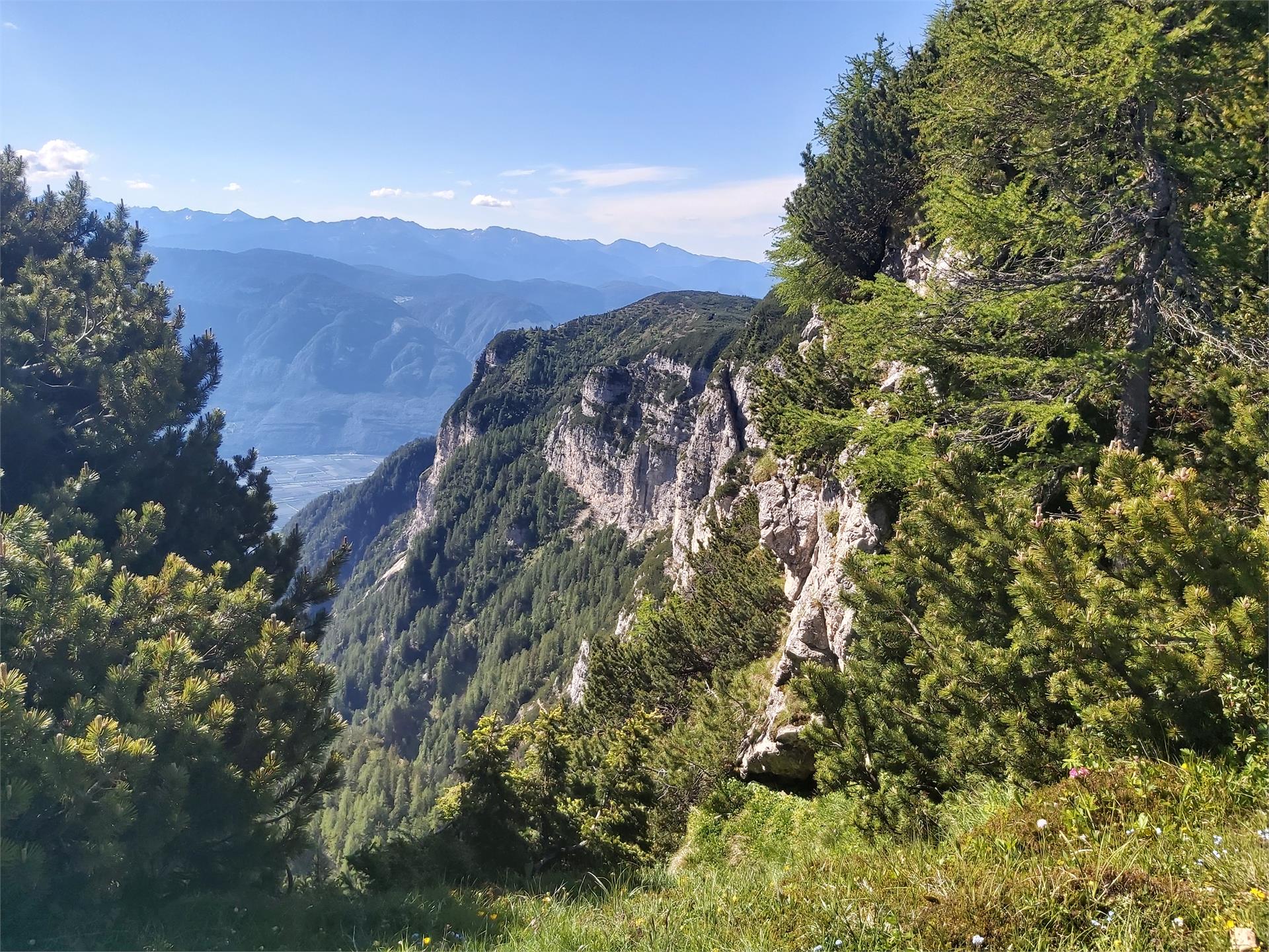
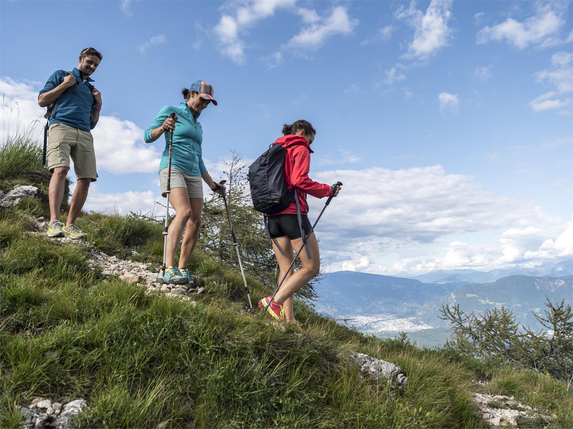
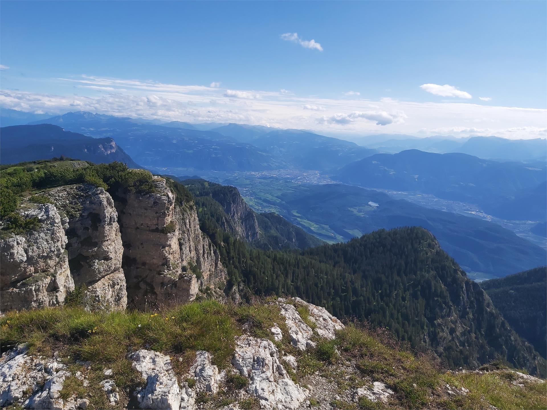
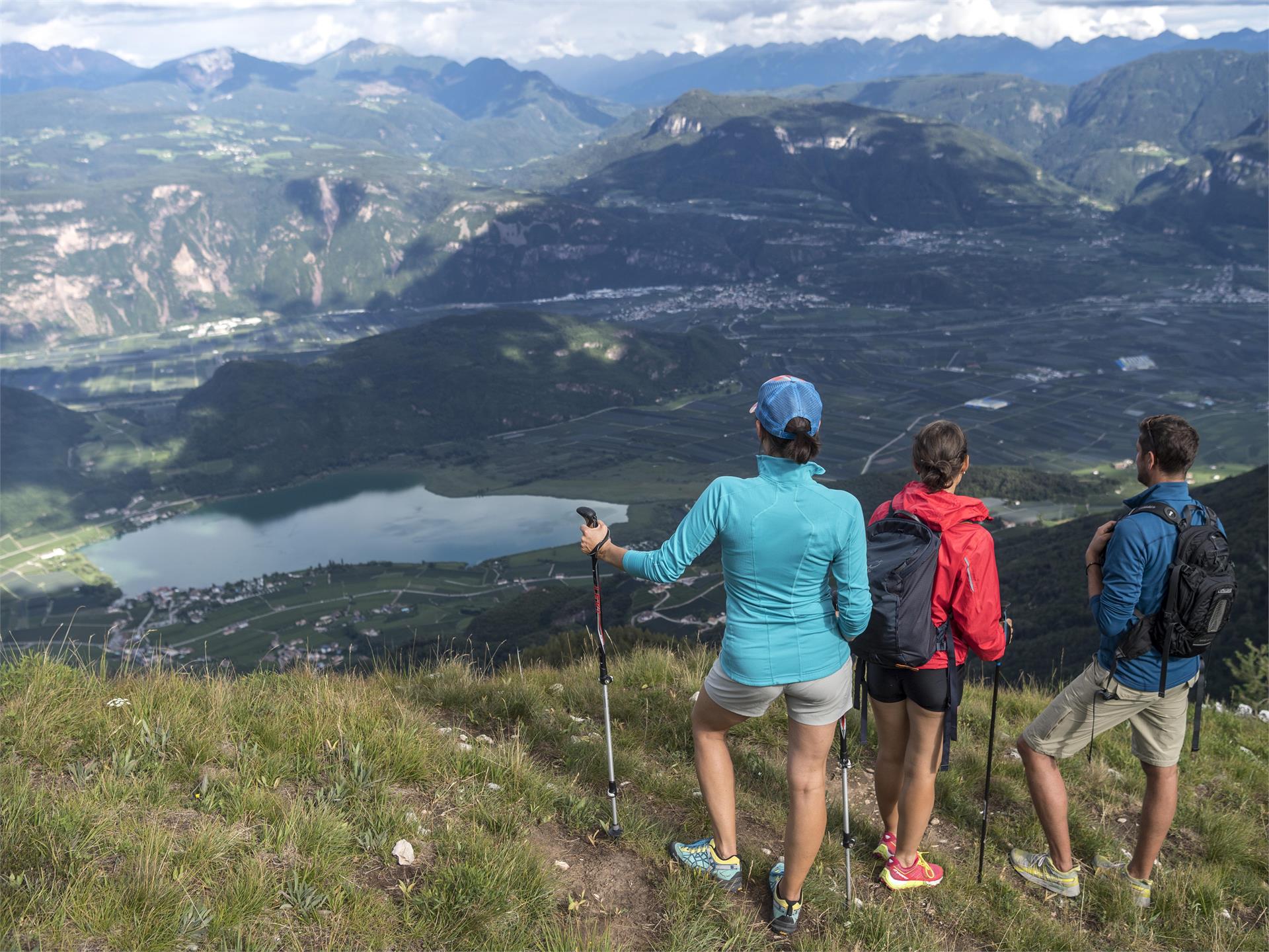
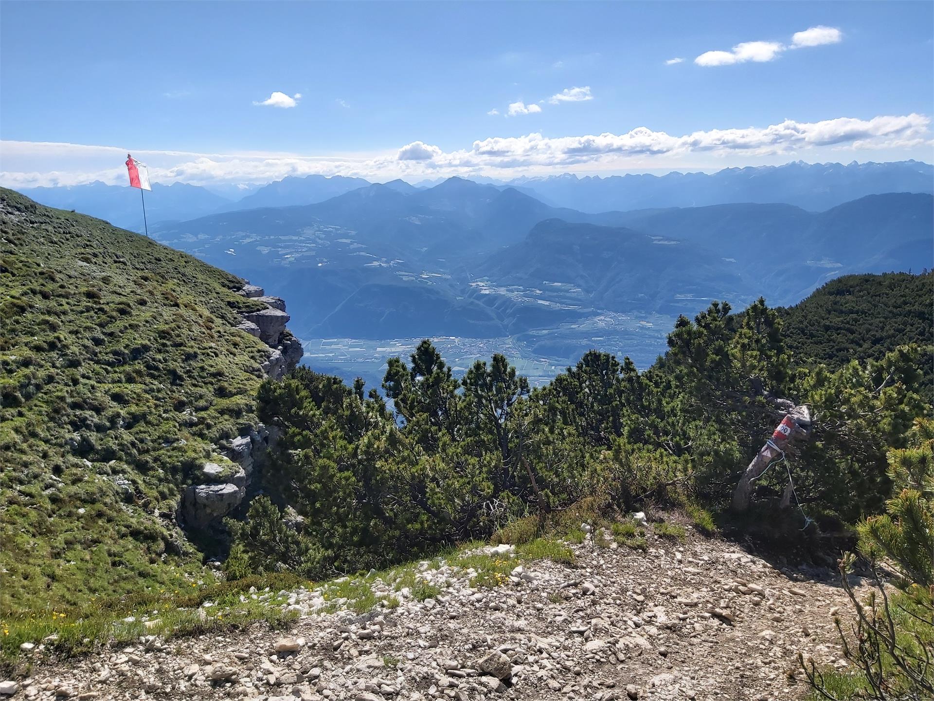
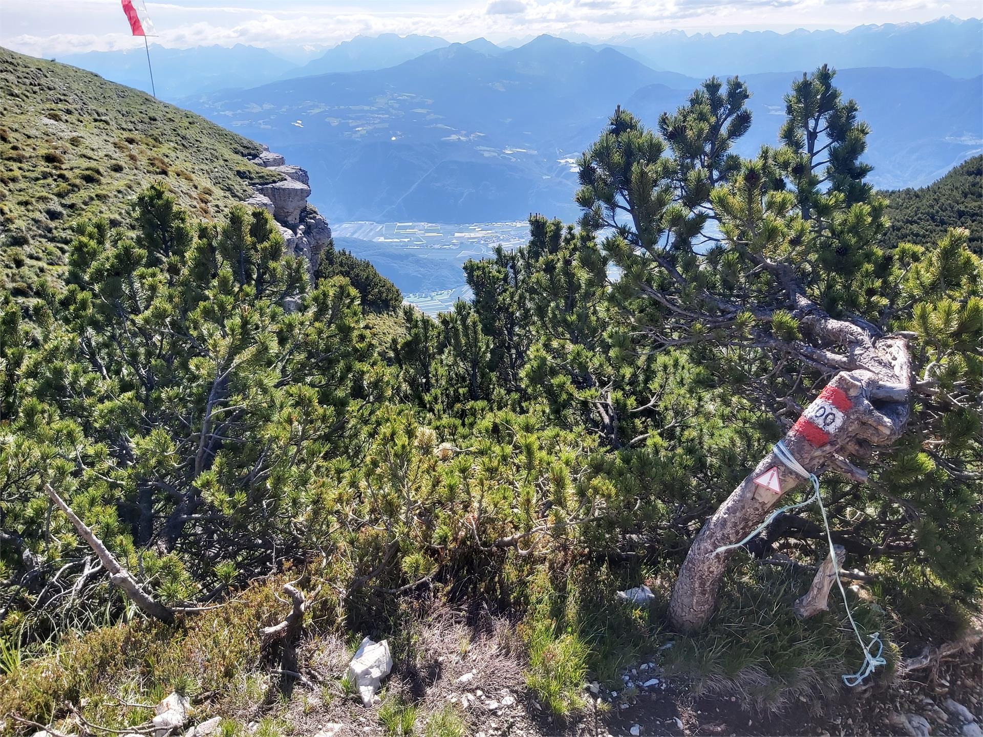
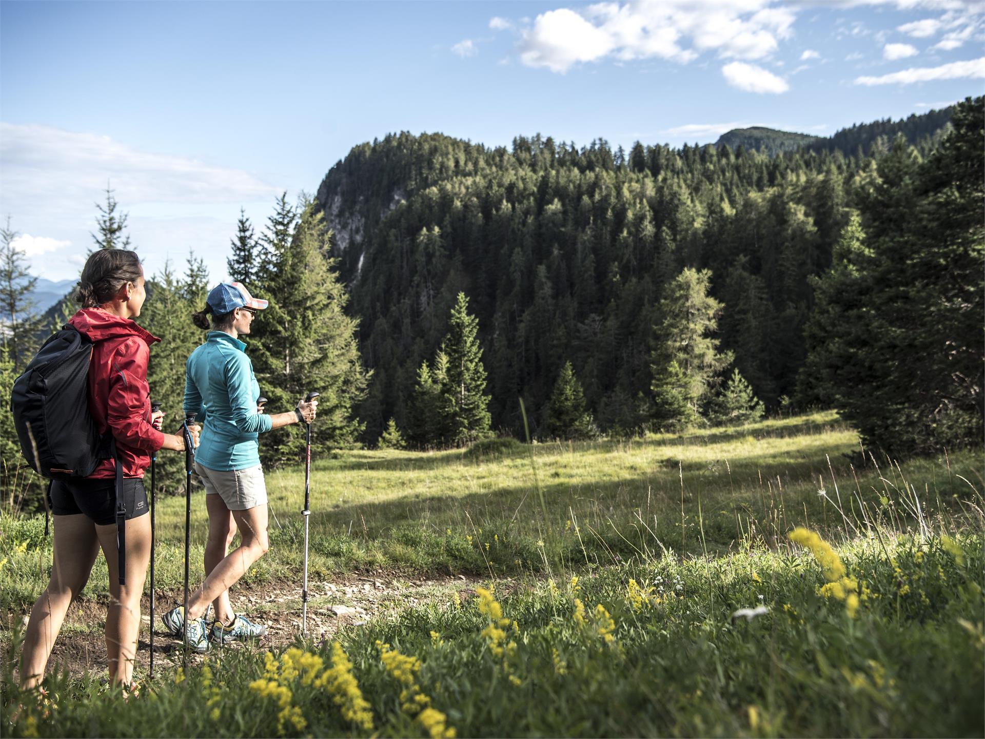
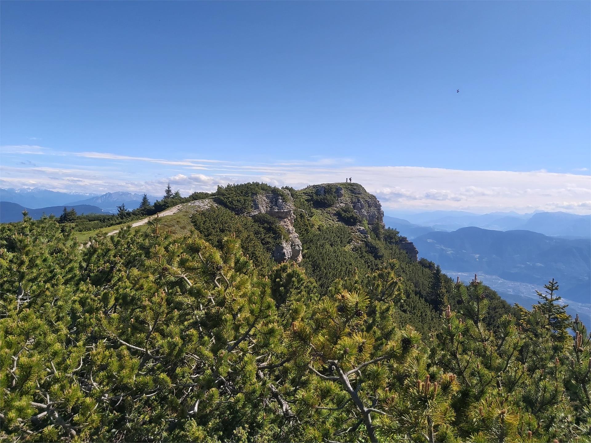
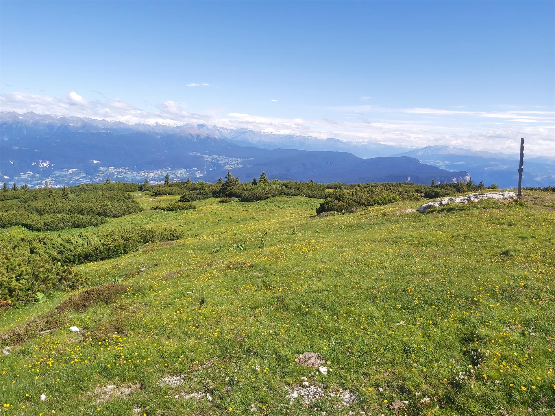
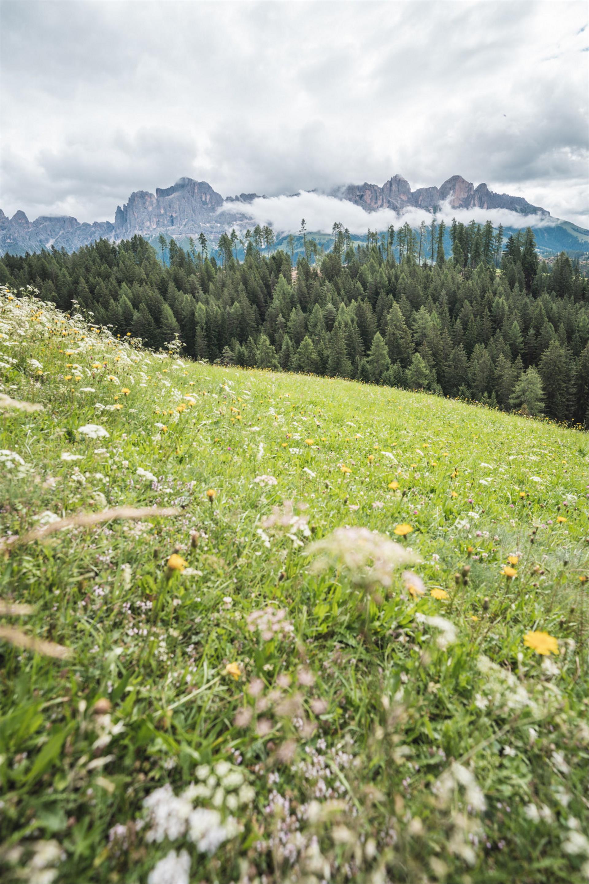
Not only when the Alpine roses are in bloom (approx. early-July) does the area around the Tallner Alm offer a wonderful countryside experience in the heart of the Alpine mountain formations and pastures which have been shaped by local agriculture.