
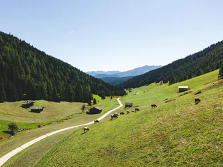
Chiusa-Albions-Fonteklaus-Gudon-Chiusa
Verdignes/Verdings, Klausen/Chiusa, Brixen/Bressanone and environs
medium
Difficulty
0 m
Elevation gain
3h:30 min
duration
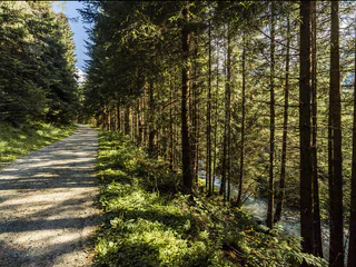
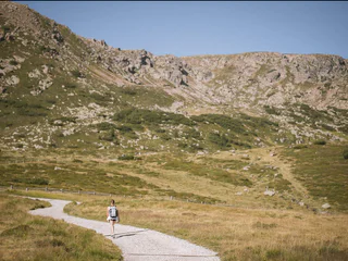
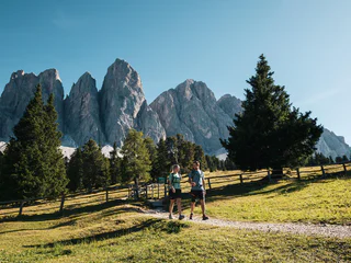
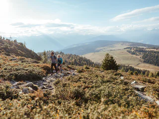
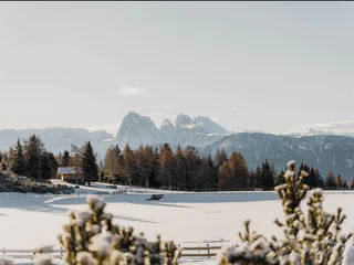
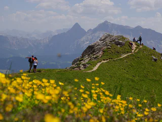
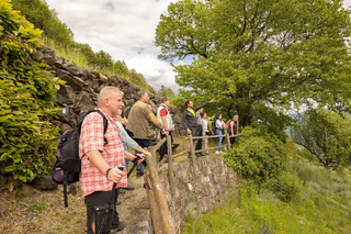
Walking is the best way to enjoy wonderful stretches of greenery. During your spring in South Tyrol, you can witness the awakening of nature in the valley and on the alpine meadows in bloom. Midsummer days are equally surprising: people are lured to mountain peaks, marvel at sweeping views and indulge in the traditional dishes served in quaint mountain huts. Go on a hike to watch the spectacle of autumn’s glorious colours and relax in nature.
Verdignes/Verdings, Klausen/Chiusa, Brixen/Bressanone and environs
medium
Difficulty
0 m
Elevation gain
3h:30 min
duration
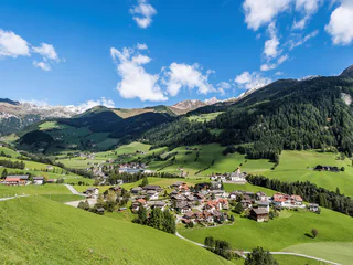
Sciaves/Schabs, Natz-Schabs/Naz-Sciaves, Brixen/Bressanone and environs
medium
Difficulty
589 m
Elevation gain
3h:37 min
duration
1/3
Maranza/Meransen, Mühlbach/Rio di Pusteria, Brixen/Bressanone and environs
easy
Difficulty
253 m
Elevation gain
1h:40 min
duration
Albes/Albeins, Brixen/Bressanone, Brixen/Bressanone and environs
medium
Difficulty
465 m
Elevation gain
2h:46 min
duration
1/4
Fundres/Pfunders, Vintl/Vandoies, Brixen/Bressanone and environs
medium
Difficulty
0 m
Elevation gain
3h:30 min
duration
Alpe di Villandro/Villanderer Alm, Villanders/Villandro, Brixen/Bressanone and environs
easy
Difficulty
281 m
Elevation gain
2h:10 min
duration
Colma/Kollmann, Barbian/Barbiano, Brixen/Bressanone and environs
medium
Difficulty
0 m
Elevation gain
3h:30 min
duration
Plose/Plose, Brixen/Bressanone, Brixen/Bressanone and environs
medium
Difficulty
0 m
Elevation gain
3h:10 min
duration
1/2
Lazfons/Latzfons, Klausen/Chiusa, Brixen/Bressanone and environs
easy
Difficulty
385 m
Elevation gain
2h:34 min
duration
Bressanone dintorni/Brixen Umland, Brixen/Bressanone, Brixen/Bressanone and environs
medium
Difficulty
0 m
Elevation gain
3h:10 min
duration
1/2
Terento/Terenten, Terenten/Terento, Brixen/Bressanone and environs
medium
Difficulty
320 m
Elevation gain
2h:00 min
duration
Alpe di Villandro/Villanderer Alm, Villanders/Villandro, Brixen/Bressanone and environs
medium
Difficulty
638 m
Elevation gain
3h:00 min
duration
Monteponente/Pfeffersberg, Brixen/Bressanone, Brixen/Bressanone and environs
easy
Difficulty
455 m
Elevation gain
2h:46 min
duration
1/4
Vallarga/Weitental, Mühlbach/Rio di Pusteria, Brixen/Bressanone and environs
easy
Difficulty
122 m
Elevation gain
0h:24 min
duration
1/2
Villandro/Villanders, Villanders/Villandro, Brixen/Bressanone and environs
medium
Difficulty
790 m
Elevation gain
3h:19 min
duration
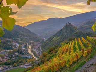
Brixen Stadt/Bressanone città, Brixen/Bressanone, Brixen/Bressanone and environs
medium
Difficulty
0 m
Elevation gain
4h:10 min
duration
1/2
Lazfons/Latzfons, Klausen/Chiusa, Brixen/Bressanone and environs
medium
Difficulty
566 m
Elevation gain
3h:08 min
duration
1/3
Sciaves/Schabs, Natz-Schabs/Naz-Sciaves, Brixen/Bressanone and environs
medium
Difficulty
90 m
Elevation gain
1h:00 min
duration
1/4
Vals/Valles, Mühlbach/Rio di Pusteria, Brixen/Bressanone and environs
easy
Difficulty
164 m
Elevation gain
1h:19 min
duration
Bressanone città/Brixen Stadt, Brixen/Bressanone, Brixen/Bressanone and environs
easy
Difficulty
281 m
Elevation gain
2h:13 min
duration

1/3
Alpe di Villandro/Villanderer Alm, Villanders/Villandro, Brixen/Bressanone and environs
medium
Difficulty
560 m
Elevation gain
3h:32 min
duration
1/3
Alpe di Villandro/Villanderer Alm, Villanders/Villandro, Brixen/Bressanone and environs
medium
Difficulty
560 m
Elevation gain
4h:54 min
duration
1/2
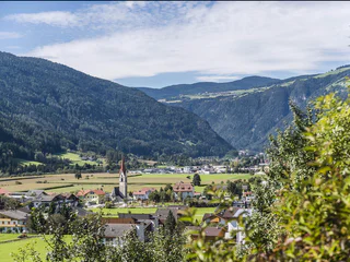
S. Maddalena/St. Magdalena - Funes/Villnöss, Villnöss/Funes, Brixen/Bressanone and environs
easy
Difficulty
433 m
Elevation gain
2h:47 min
duration
Valles/Vals, Mühlbach/Rio di Pusteria, Brixen/Bressanone and environs
medium
Difficulty
504 m
Elevation gain
1h:34 min
duration
1/5
S. Pietro/St. Peter - Laion/Lajen, Rodeneck/Rodengo, Brixen/Bressanone and environs
difficult
Difficulty
2479 m
Elevation gain
0h:00 min
duration
1/3
S.Martino/Reinswald, Villanders/Villandro, Brixen/Bressanone and environs
medium
Difficulty
344 m
Elevation gain
1h:37 min
duration
1/2
Colma/Kollmann, Barbian/Barbiano, Brixen/Bressanone and environs
medium
Difficulty
0 m
Elevation gain
3h:00 min
duration
1/2
San Vigilio, Brixen/Bressanone, Brixen/Bressanone and environs
medium
Difficulty
1316 m
Elevation gain
8h:19 min
duration
1/8
Plose/Plose, Brixen/Bressanone, Brixen/Bressanone and environs
easy
Difficulty
184 m
Elevation gain
1h:36 min
duration
1/3
Alpe di Villandro/Villanderer Alm, Villanders/Villandro, Brixen/Bressanone and environs
easy
Difficulty
177 m
Elevation gain
1h:08 min
duration
Thank you for signing up!
You are already subscribed
Confirm your registration
To complete your subscription, open the email we just sent you and click on the confirmation link.
Can’t find it? Check your spam folder too.
We noticed that you are already subscribed to our Newsletter. We will update you on exclusive offers, fun adventures and more so you can make the best out of your vacation.
We noticed that you already tried to subscribe to our Newsletter in the past but didn’t confirmed the subscription. We have resent you an email now, please check your inbox and spam folder to confirm.


