
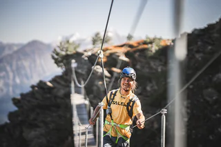
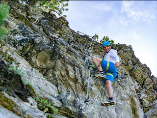
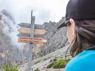

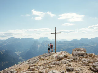
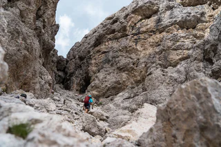
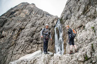

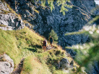
Eine Vielzahl von unterschiedlichen Schwierigkeitsgraden, eine hervorragende Beschilderung und jährlich geprüfte Routen machen diese Form des Kletterns so sicher wie möglich und zum landschaftlichen Erlebnis.
1/3
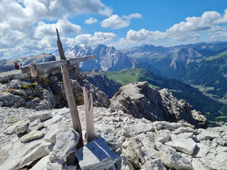
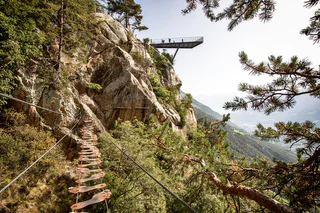
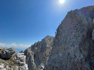
Via ferrata tour PIZ DA PERES
San Cassiano/San Cassiano, Al Plan/San Vigilio, Dolomites Region Kronplatz/Plan de Corones
medium
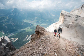
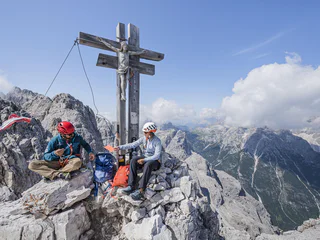
Obtížnost
186 m
Převýšení
1h:31 min
doba trvání


