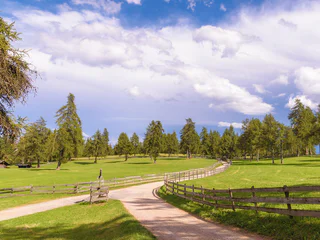
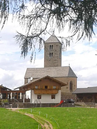
1/3
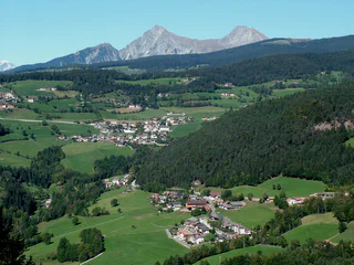
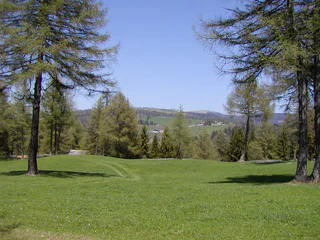
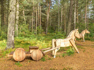
Schermoos - Gschnofer Stall - Tomanegger
Vallesina/Versein, Mölten/Meltina, Bolzano/Bozen and environs
easy
Difficulty
121 m
Elevation gain
1h:37 min
duration
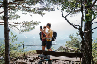
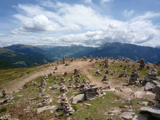
Walking is the best way to enjoy wonderful stretches of greenery. During your spring in South Tyrol, you can witness the awakening of nature in the valley and on the alpine meadows in bloom. Midsummer days are equally surprising: people are lured to mountain peaks, marvel at sweeping views and indulge in the traditional dishes served in quaint mountain huts. Go on a hike to watch the spectacle of autumn’s glorious colours and relax in nature.
1/3
Vallesina/Versein, Mölten/Meltina, Bolzano/Bozen and environs
easy
Difficulty
121 m
Elevation gain
1h:37 min
duration
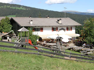
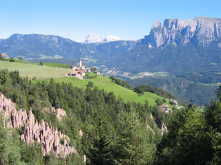
1/5
Vallesina/Versein, Mölten/Meltina, Bolzano/Bozen and environs
easy
Difficulty
431 m
Elevation gain
1h:43 min
duration

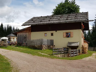
Pineta di Laives/Steinmannwald, Laives/Leifers, Bolzano/Bozen and environs
medium
Difficulty
497 m
Elevation gain
2h:30 min
duration
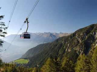
Vallesina/Versein, Mölten/Meltina, Bolzano/Bozen and environs
easy
Difficulty
405 m
Elevation gain
1h:42 min
duration
1/5
Vallesina/Versein, Mölten/Meltina, Bolzano/Bozen and environs
medium
Difficulty
356 m
Elevation gain
1h:13 min
duration
1/5
Falzeben/Falzeben, Hafling/Avelengo, Bolzano/Bozen and environs
medium
Difficulty
655 m
Elevation gain
5h:19 min
duration
1/2
Avelengo Paese/Hafling Dorf, Hafling/Avelengo, Bolzano/Bozen and environs
medium
Difficulty
334 m
Elevation gain
3h:04 min
duration
Collalbo/Klobenstein, Ritten/Renon, Bolzano/Bozen and environs
easy
Difficulty
252 m
Elevation gain
1h:34 min
duration
1/4
Vallesina/Versein, Mölten/Meltina, Bolzano/Bozen and environs
easy
Difficulty
169 m
Elevation gain
1h:15 min
duration
1/2
Vallesina/Versein, Mölten/Meltina, Bolzano/Bozen and environs
easy
Difficulty
34961 m
Elevation gain
1h:55 min
duration
Bolzano Centro/Bozen Zentrum, Bolzano/Bozen, Bolzano/Bozen and environs
medium
Difficulty
388 m
Elevation gain
2h:30 min
duration
Ora/Auer, Vadena/Pfatten, Bolzano/Bozen and environs
difficult
Difficulty
482 m
Elevation gain
3h:30 min
duration
1/4
Vallesina/Versein, Mölten/Meltina, Bolzano/Bozen and environs
medium
Difficulty
863 m
Elevation gain
5h:17 min
duration
Rencio/Rentsch, Bolzano/Bozen, Bolzano/Bozen and environs
1/2
Vallesina/Versein, Mölten/Meltina, Bolzano/Bozen and environs
easy
Difficulty
393 m
Elevation gain
1h:22 min
duration
S.Martino/Reinswald, Sarntal/Sarentino, Bolzano/Bozen and environs
easy
Difficulty
100 m
Elevation gain
4h:30 min
duration
1/4
Collalbo/Klobenstein, Ritten/Renon, Bolzano/Bozen and environs
easy
Difficulty
0 m
Elevation gain
1h:19 min
duration
1/3
Mölten/Meltina, Bolzano/Bozen and environs
easy
Difficulty
157 m
Elevation gain
1h:15 min
duration
1/11
Vilpiano/Vilpian, Terlan/Terlano, Bolzano/Bozen and environs
difficult
Difficulty
1446 m
Elevation gain
9h:40 min
duration
1/2
Verano/Vöran, Vöran/Verano, Bolzano/Bozen and environs
medium
Difficulty
513 m
Elevation gain
3h:31 min
duration
Valdurna/Durnholz, Sarntal/Sarentino, Bolzano/Bozen and environs
medium
Difficulty
0 m
Elevation gain
5h:19 min
duration
Vallesina/Versein, Mölten/Meltina, Bolzano/Bozen and environs
easy
Difficulty
218 m
Elevation gain
0h:54 min
duration
1/3
Firmiano/Sigmundskron, Bolzano/Bozen, Bolzano/Bozen and environs
medium
Difficulty
610 m
Elevation gain
4h:43 min
duration
1/4
Terlano/Terlan, Terlan/Terlano, Bolzano/Bozen and environs
easy
Difficulty
486 m
Elevation gain
2h:16 min
duration

1/4
Vallesina/Versein, Mölten/Meltina, Bolzano/Bozen and environs
easy
Difficulty
174 m
Elevation gain
1h:13 min
duration
1/5
Ora/Auer, Bronzolo/Branzoll, Bolzano/Bozen and environs
medium
Difficulty
1067 m
Elevation gain
5h:27 min
duration
1/21
Terlano/Terlan, Terlan/Terlano, Bolzano/Bozen and environs
easy
Difficulty
389 m
Elevation gain
2h:25 min
duration
1/2
Vallesina/Versein, Mölten/Meltina, Bolzano/Bozen and environs
medium
Difficulty
722 m
Elevation gain
4h:54 min
duration
Soprabolzano/Oberbozen, Ritten/Renon, Bolzano/Bozen and environs
medium
Difficulty
287 m
Elevation gain
3h:00 min
duration
1/3
Vallesina/Versein, Mölten/Meltina, Bolzano/Bozen and environs
easy
Difficulty
268 m
Elevation gain
1h:25 min
duration
Thank you for signing up!
Your subscription is already active
Confirm your registration
To complete your subscription, open the email we just sent you and click on the confirmation link.
Can’t find it? Check your spam folder too.
We noticed that you tried to subscribe to the newsletter, but your email address is already registered. You will continue to receive our offers, tips and inspiration for your holiday.
We noticed that you already tried to subscribe to our Newsletter in the past but didn’t confirmed the subscription. We have resent you an email now, please check your inbox and spam folder to confirm.


