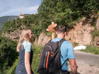
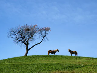
1/3
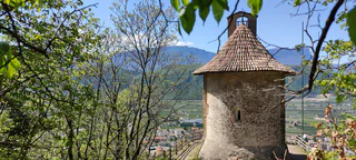
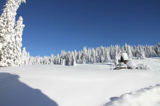
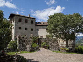
Around Franzenberg and Breitenberg
La Costa/Seit, Laives/Leifers, Bolzano/Bozen and environs
medium
Moeilijkheidsgraad
1172 m
Hoogteverschil
4h:31 min
Duur
Verken de prachtige wandelroutes van Bozen en omgeving en geniet van de rust en schoonheid van de natuur.
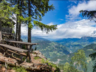
1/3
La Costa/Seit, Laives/Leifers, Bolzano/Bozen and environs
medium
Moeilijkheidsgraad
1172 m
Hoogteverschil
4h:31 min
Duur
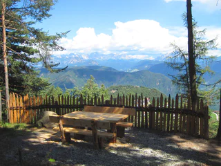
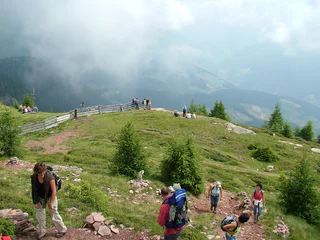
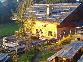
1/3
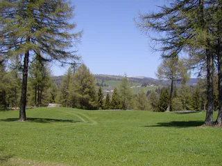
Colle/Kohlern, Laives/Leifers, Bolzano/Bozen and environs
easy
Moeilijkheidsgraad
337 m
Hoogteverschil
2h:19 min
Duur
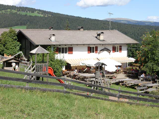
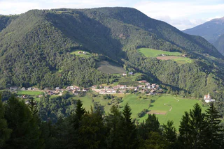
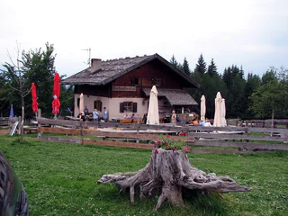
1/5
S. Genesio Atesino/Jenesien, Jenesien/San Genesio Atesino, Bolzano/Bozen and environs
easy
Moeilijkheidsgraad
466 m
Hoogteverschil
4h:10 min
Duur
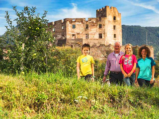
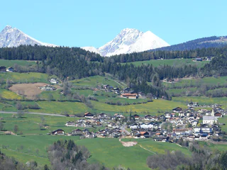
1/4
Nobls/Nobls, Jenesien/San Genesio Atesino, Bolzano/Bozen and environs
medium
Moeilijkheidsgraad
177 m
Hoogteverschil
1h:01 min
Duur
1/3
Leifers/Laives, Laives/Leifers, Bolzano/Bozen and environs
easy
Moeilijkheidsgraad
176 m
Hoogteverschil
0h:37 min
Duur
1/5
Prati/Auen, Sarntal/Sarentino, Bolzano/Bozen and environs
medium
Moeilijkheidsgraad
892 m
Hoogteverschil
3h:42 min
Duur
1/5
Vallesina/Versein, Mölten/Meltina, Bolzano/Bozen and environs
easy
Moeilijkheidsgraad
431 m
Hoogteverschil
1h:43 min
Duur
1/9
Nobls/Nobls, Jenesien/San Genesio Atesino, Bolzano/Bozen and environs
medium
Moeilijkheidsgraad
67 m
Hoogteverschil
1h:33 min
Duur
1/4
Vallesina/Versein, Mölten/Meltina, Bolzano/Bozen and environs
medium
Moeilijkheidsgraad
863 m
Hoogteverschil
5h:17 min
Duur

Versein/Vallesina, Mölten/Meltina, Bolzano/Bozen and environs
easy
Moeilijkheidsgraad
376 m
Hoogteverschil
1h:58 min
Duur
1/6
Vallesina/Versein, Mölten/Meltina, Bolzano/Bozen and environs
easy
Moeilijkheidsgraad
179 m
Hoogteverschil
0h:58 min
Duur

1/2
Verano/Vöran, Vöran/Verano, Bolzano/Bozen and environs
medium
Moeilijkheidsgraad
399 m
Hoogteverschil
2h:01 min
Duur
1/4
Vallesina/Versein, Mölten/Meltina, Bolzano/Bozen and environs
easy
Moeilijkheidsgraad
131 m
Hoogteverschil
1h:01 min
Duur
Oberinn/Auna di Sopra, Ritten/Renon, Bolzano/Bozen and environs
difficult
Moeilijkheidsgraad
720 m
Hoogteverschil
5h:00 min
Duur
Soprabolzano/Oberbozen, Ritten/Renon, Bolzano/Bozen and environs
easy
Moeilijkheidsgraad
115 m
Hoogteverschil
1h:22 min
Duur
Colle/Kohlern, Bolzano/Bozen, Bolzano/Bozen and environs
easy
Moeilijkheidsgraad
560 m
Hoogteverschil
3h:30 min
Duur
Colle/Kohlern, Bolzano/Bozen, Bolzano/Bozen and environs
easy
Moeilijkheidsgraad
464 m
Hoogteverschil
3h:07 min
Duur
1/2
Nobls/Nobls, Jenesien/San Genesio Atesino, Bolzano/Bozen and environs
difficult
Moeilijkheidsgraad
909 m
Hoogteverschil
4h:43 min
Duur
Vallesina/Versein, Mölten/Meltina, Bolzano/Bozen and environs
easy
Moeilijkheidsgraad
405 m
Hoogteverschil
1h:42 min
Duur
Vallesina/Versein, Mölten/Meltina, Bolzano/Bozen and environs
medium
Moeilijkheidsgraad
469 m
Hoogteverschil
1h:57 min
Duur
1/2
Prati/Auen, Sarntal/Sarentino, Bolzano/Bozen and environs
medium
Moeilijkheidsgraad
446 m
Hoogteverschil
1h:58 min
Duur
Nobls/Nobls, Jenesien/San Genesio Atesino, Bolzano/Bozen and environs
easy
Moeilijkheidsgraad
207 m
Hoogteverschil
1h:36 min
Duur
Ora/Auer, Vadena/Pfatten, Bolzano/Bozen and environs
difficult
Moeilijkheidsgraad
482 m
Hoogteverschil
3h:30 min
Duur
Auna di Sopra/Oberinn, Ritten/Renon, Bolzano/Bozen and environs
easy
Moeilijkheidsgraad
112 m
Hoogteverschil
1h:43 min
Duur
1/2
Verano/Vöran, Vöran/Verano, Bolzano/Bozen and environs
medium
Moeilijkheidsgraad
513 m
Hoogteverschil
3h:31 min
Duur
1/2
Vallesina/Versein, Mölten/Meltina, Bolzano/Bozen and environs
medium
Moeilijkheidsgraad
399 m
Hoogteverschil
3h:12 min
Duur
1/4
Vallesina/Versein, Mölten/Meltina, Bolzano/Bozen and environs
medium
Moeilijkheidsgraad
341 m
Hoogteverschil
2h:23 min
Duur
Bolzano Centro/Bozen Zentrum, Bolzano/Bozen, Bolzano/Bozen and environs
medium
Moeilijkheidsgraad
388 m
Hoogteverschil
2h:30 min
Duur
1/3
Aslago/Haslach, Laives/Leifers, Bolzano/Bozen and environs
easy
Moeilijkheidsgraad
487 m
Hoogteverschil
2h:17 min
Duur
Sill/Sill, Ritten/Renon, Bolzano/Bozen and environs
easy
Moeilijkheidsgraad
100 m
Hoogteverschil
0h:49 min
Duur
Bedankt voor je inschrijving!
Inschrijving al actief
Bevestig je inschrijving
Om je inschrijving te voltooien, open de e-mail die we je net hebben gestuurd en klik op de bevestigingslink.
Niet gevonden? Kijk ook even in je spammap.
Je ontvangt al onze exclusieve aanbiedingen, handige tips en speciale suggesties om volop van je vakantie te genieten.
Je hebt je al geprobeerd in te schrijven voor onze nieuwsbrief maar deze nog niet bevestigd. We hebben je de e‑mail zojuist opnieuw gestuurd. Controleer je inbox en je spammap en bevestig nu.


