1/5
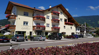
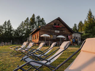
Gasthof Klammer
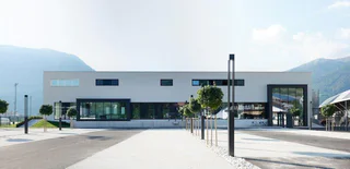
Vipiteno/Sterzing, Sterzing/Vipiteno, Sterzing/Vipiteno and environs
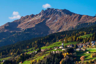
Objevte jedinečný charakter jihotyrolského údolí Wipptal s malebným Sterzingem/Vipitenem, nejsevernějším městem Jižního Tyrolska. Boční údolí Alp nabízejí impozantní horské vrcholy a vášnivou sportovní kulturu. Cestou poznávejte a setkávejte se s krásnými hrady.
1/5
Vipiteno/Sterzing, Sterzing/Vipiteno, Sterzing/Vipiteno and environs

Colle Isarco/Gossensaß, Brenner/Brennero, Sterzing/Vipiteno and environs
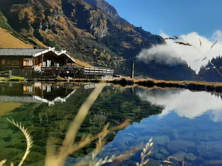
Stanghe/Stange, Ratschings/Racines, Sterzing/Vipiteno and environs
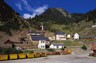
Ridanna/Ridnaun, Ratschings/Racines, Sterzing/Vipiteno and environs
difficult
Obtížnost
1050 m
Převýšení
5h:00 min
doba trvání
Ridnaun/Ridanna, Ratschings/Racines, Sterzing/Vipiteno and environs
Prati/Wiesen, Pfitsch/Val di Vizze, Sterzing/Vipiteno and environs
Mareta/Mareit, Ratschings/Racines, Sterzing/Vipiteno and environs
Mazzes/Matzes, Sterzing/Vipiteno, Sterzing/Vipiteno and environs
Fleres/Pflersch, Brenner/Brennero, Sterzing/Vipiteno and environs
1/2
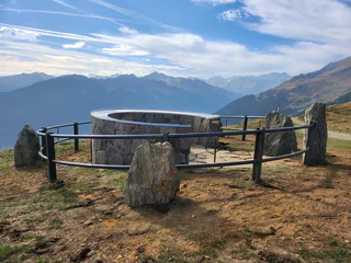
Vipiteno/Sterzing, Sterzing/Vipiteno, Sterzing/Vipiteno and environs
1/3
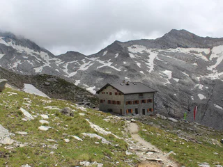
Ridanna/Ridnaun, Ratschings/Racines, Sterzing/Vipiteno and environs
Colle Isarco/Gossensaß, Brenner/Brennero, Sterzing/Vipiteno and environs
1/2
Telves/Telfes, Ratschings/Racines, Sterzing/Vipiteno and environs
Fuldres/Pfulters, Freienfeld/Campo di Trens, Sterzing/Vipiteno and environs
Brennero/Brenner, Brenner/Brennero, Sterzing/Vipiteno and environs
Ridanna/Ridnaun, Ratschings/Racines, Sterzing/Vipiteno and environs
medium
Obtížnost
628 m
Převýšení
2h:02 min
doba trvání
1/3
Telves/Telfes, Sterzing/Vipiteno, Sterzing/Vipiteno and environs
easy
Obtížnost
172 m
Převýšení
1h:30 min
doba trvání
Vipiteno/Sterzing, Sterzing/Vipiteno, Sterzing/Vipiteno and environs

1/2
Valgiovo/Jaufental, Ratschings/Racines, Sterzing/Vipiteno and environs
medium
Obtížnost
449 m
Převýšení
1h:22 min
doba trvání
Flanes/Flans, Freienfeld/Campo di Trens, Sterzing/Vipiteno and environs
difficult
Obtížnost
1898 m
Převýšení
8h:30 min
doba trvání
1/3
Ridanna/Ridnaun, Ratschings/Racines, Sterzing/Vipiteno and environs
medium
Obtížnost
1072 m
Převýšení
3h:25 min
doba trvání
1/2
Valgiovo/Jaufental, Ratschings/Racines, Sterzing/Vipiteno and environs
medium
Obtížnost
710 m
Převýšení
2h:53 min
doba trvání
Flanes/Flans, Freienfeld/Campo di Trens, Sterzing/Vipiteno and environs
easy
Obtížnost
0 m
Převýšení
1h:00 min
doba trvání
Ridanna/Ridnaun, Ratschings/Racines, Sterzing/Vipiteno and environs
1/8
Colle Isarco/Gossensaß, Brenner/Brennero, Sterzing/Vipiteno and environs
1/3
Valgiovo/Jaufental, Ratschings/Racines, Sterzing/Vipiteno and environs
Moncucco/Giggelberg, Brenner/Brennero, Sterzing/Vipiteno and environs
easy
Obtížnost
228 m
Převýšení
2h:30 min
doba trvání
1/8
Sasso/Stein, Pfitsch/Val di Vizze, Sterzing/Vipiteno and environs
1/5
Ridanna/Ridnaun, Ratschings/Racines, Sterzing/Vipiteno and environs
Vipiteno/Sterzing, Sterzing/Vipiteno, Sterzing/Vipiteno and environs


