
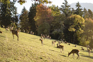
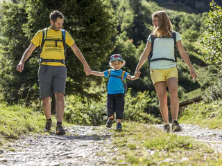
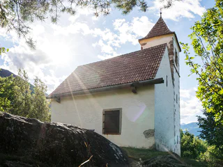
Dla dzieci już sama droga jest celem wycieczki. Ze spaceru wśród kwitnących jabłoni w okolicach Bolzano/Bozen, Meran/Merano albo Brixen/Bressanone, czy też niezapomnianego noclegu w schronisku w Dolomitach lub na Kronplatz, dorośli będą tak samo zadowoleni jak i dzieci.
1/4
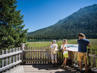
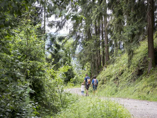
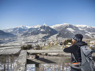
Winter hike along the Schenner Waalweg Trail
Scena/Schenna, Schenna/Scena, Meran/Merano and environs
easy
Poziom trudności
320 m
Wzlot
2h:00 min
czas trwania


