Südtirol Guide App Logo
Przejdź do treści

dodano do ulubionych

usunięto z ulubionych

Coś poszło nie tak! Wystąpił problem. Spróbuj ponownie

Twoje konto jest właśnie tworzone

Twoje konto zostało pomyślnie utworzone i jesteś teraz zalogowany

Zalogowałeś się pomyślnie!

Twoje konto zostało pomyślnie utworzone, ale nie mogliśmy zalogować Cię automatycznie

Jesteś wylogowany

Filtr
Wybrane filtry
    Poziom trudności
    Czas trwania
    Odległość w km

    Wszystkie trasy narciarskie w Gsiesertal/Val Casies

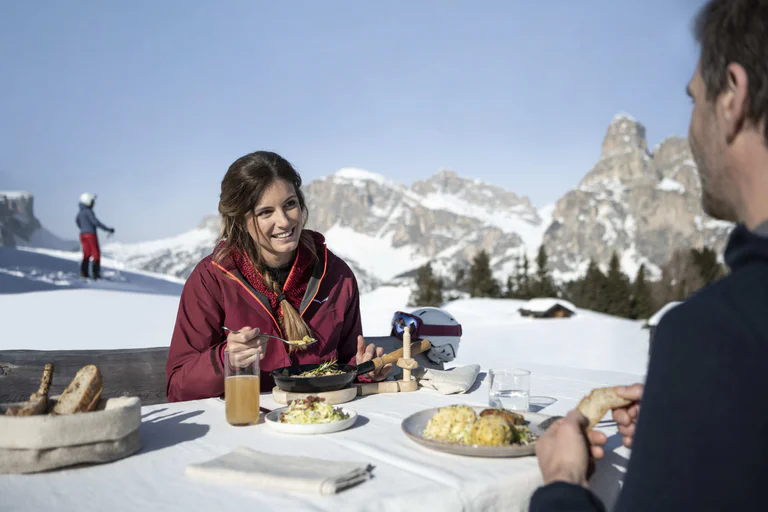
    Dziewicze krajobrazy, spokój z dala od stoków narciarskich i ośnieżone stoki z puchem i śniegiem. Podczas wycieczki narciarskiej w Gsiesertal/Val Casies można cieszyć się wyjątkowymi doświadczeniami przyrodniczymi i sportowymi przygodami.

    Wyniki
    Ski Tours
    Ski Tour: Hochkreuzspitze in Val Casies Valley – S. Maddalena
    Gsies/Valle di Casies

    The classic Gsieser ski and snowshoe tour through the Pfoital Valley to the Hochkreuzspitze

    Starting point: Val Casies/Gsiesertal Valley – S. Maddalena, Head of the valley (1465 m)
    Walking time: 04:30 h
    Difficulty: medium | for average skiers – wide and open terrain with only a few steep slopes, caution with fresh snow
    Altitude difference: 1274 m
    Slope exposure: southwest

    Poziom trudności: średni
    1274 m wysokość w górę
    4h:30 min czas trwania
    Ski Tours
    Ski Tour: Hoher Mann in Val di Casies Valley – S. Maddalena
    Gsies/Valle di Casies

    A beautiful panorama tour across the Aschtalm, Pfinnhütten, Pfinnscharte and Hoher Mann

    Starting point: Val Casies/Gsiesertal Valley – S. Maddalena, Head of the valley (1465 m)
    Descent: back via the ascent route
    Hiking time: 03:30 h
    Difficulty: easy | ski mountain requiring mainly endurance
    Altitude difference: 1100 m
    Slope exposure: south + east

    Poziom trudności: łatwy
    1100 m wysokość w górę
    3h:30 min czas trwania
    Ski Tours
    Ski Tour: Uwald Alm in Val di Casies Valley – S. Maddalena
    Gsies/Valle di Casies

    The Uwald Alm Hut – an area that offers the best views of the Gsieser Valley

    Starting point: Val Casies/Gsiesertal Valley – S. Maddalena, Head of the Valley (1465 m)
    Descent: back via the ascent route
    Walking time: 02:30 h
    Difficulty: easy; simple tour with the character of a ski hike
    Altitude difference: 577 m
    Slope exposure: southwest – northwest

    Poziom trudności: łatwy
    577 m wysokość w górę
    2h:15 min czas trwania
    Ski Tours
    Ski Tour: Kalksteinjöch in the Val Casies Valley – S. Maddalena (2349 m)
    Gsies/Valle di Casies

    The Kalksteinjöchl, at the passage into the Villgraten Valley (A) – “an interesting challenge for snowshoe hikers and ski tourers in a snow-covered alpine landscape”

    Starting point: Val Casies/Gsiesertal Valley – S. Maddalena, Head of the valley (1465 m)
    Descent: back via the ascent route
    Hiking time: 02:30 h
    Difficulty: easy
    Altitude difference: 884 m
    Slope exposure: north

    Poziom trudności: łatwy
    1105 m wysokość w górę
    4h:39 min czas trwania
    Ski Tours
    Ski Tour: Rotlahner in Gsiesertal Valley – S. Maddalena
    Gsies/Valle di Casies

    The “Rotlahner” – an easy and well-known ski mountain in the Gsieser Alps

    Starting point: Val Casies/Gsiesertal Valley – S. Maddalena, Head of the Valley (1465 m)
    Descent: back via the ascent route
    Hiking time: 03:30 h
    Difficulty: medium; except for two steep slopes (below the Kasermähder Alm and in the Heimwaldjoch area) no technical difficulties
    Altitude difference: 1270 m
    Slope exposure: mainly southwest

    Poziom trudności: średni
    1270 m wysokość w górę
    3h:30 min czas trwania
    Ski Tours
    Ski Tour: Monte Luta e Monte Salmone in Tesido
    Welsberg-Taisten/Monguelfo-Tesido

    Panorama hike: over the Lutter- and Durakopf

    Starting point: Monguelfo-Tesido – Tesido, parking lot above the Mudler Hof mountain restaurant (1584 m)
    Ascent: 03:00–03:30 h
    Descent: ca. 02:00 h, tobogganing possible to the Mudler Hof
    Difficulty: moderate; steep ascent through forest, gentle alpine pastures, mostly easy descent
    Altitude difference: ca. 700 m
    Toboggan run: easy

    Poziom trudności: łatwy
    700 m wysokość w górę
    3h:30 min czas trwania
    Ski Tours
    Ski Tour: Hochhorn in Val Casies Valley – Colle
    Gsies/Valle di Casies

    From Unterplanken across the Schuher Alm, the Golfen to the Hochhorn

    Starting point & parking: Val Casies/Gsiesertal Valley – Pichl, Unterplanken (1213 m)
    Descent: back via the ascent route
    Walking time: 05:00 h
    Difficulty: medium | for average skiers; open terrain with moderate slope gradient, minimal technical difficulties
    Altitude difference: 1400 m
    Slope exposure: southwest
    Best period: December – March

    Poziom trudności: średni
    1400 m wysokość w górę
    5h:00 min czas trwania
    1