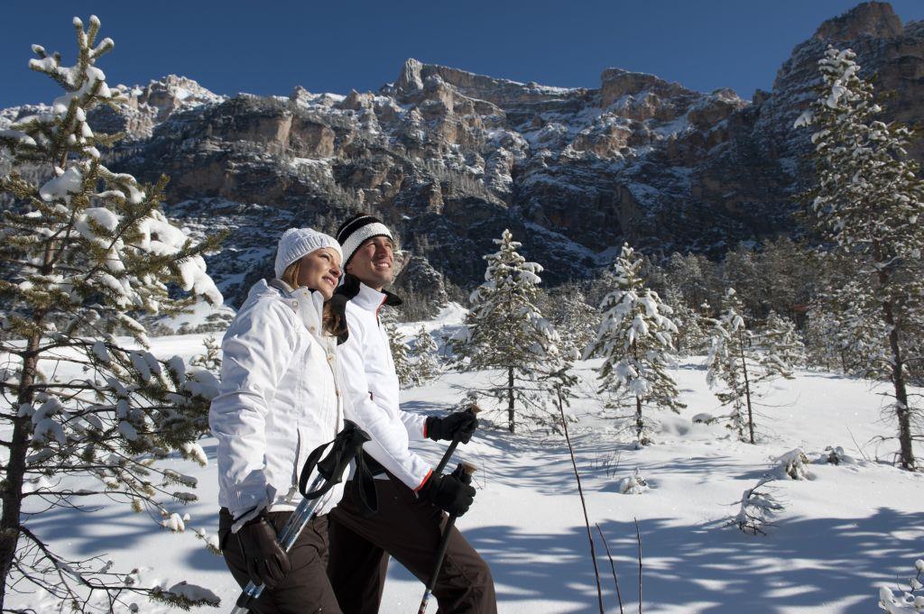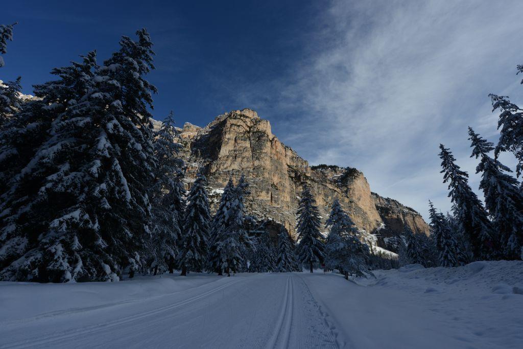
Snowshoe Hikes
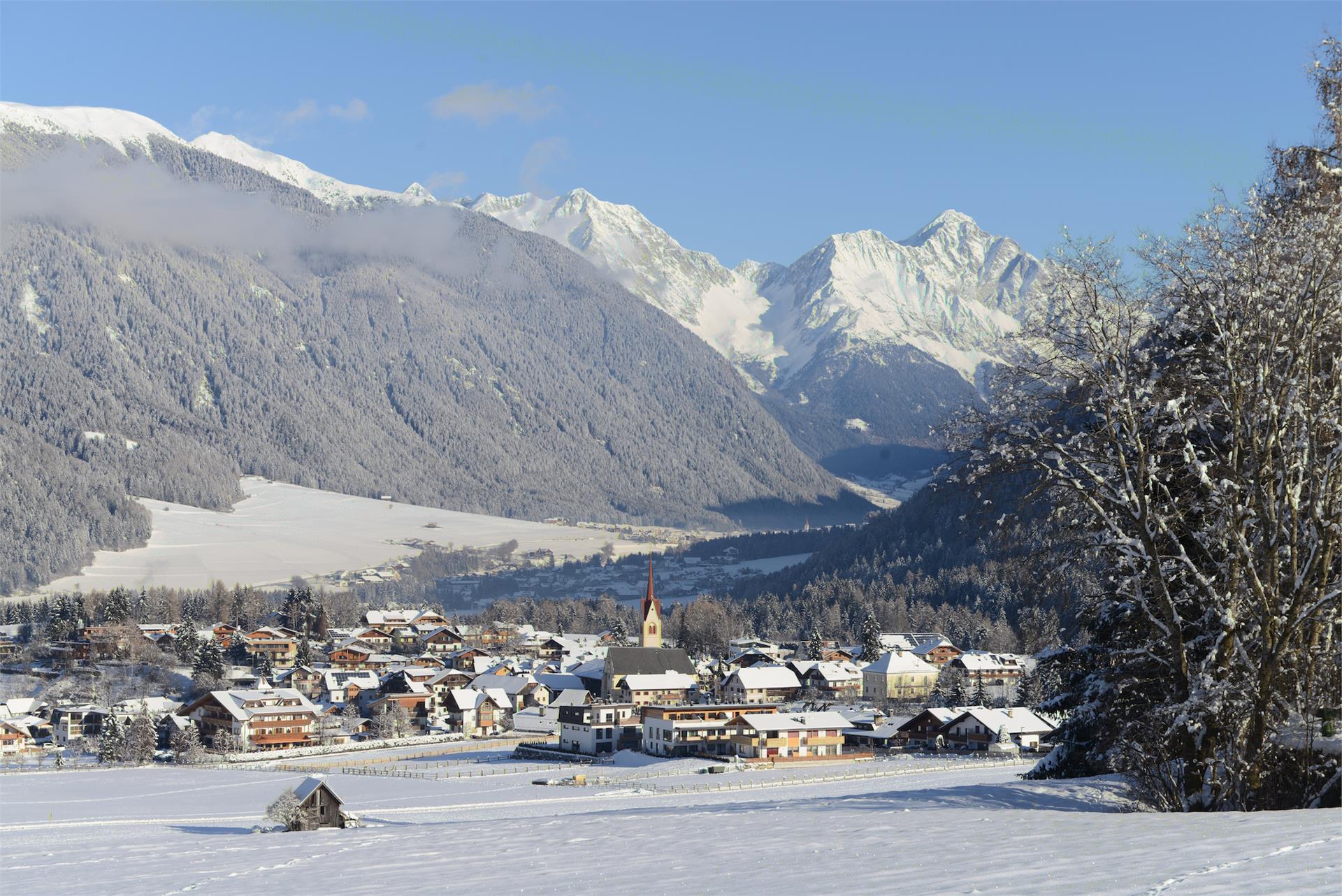
Al Plan/San Vigilio, Dolomites Region Kronplatz/Plan de Corones
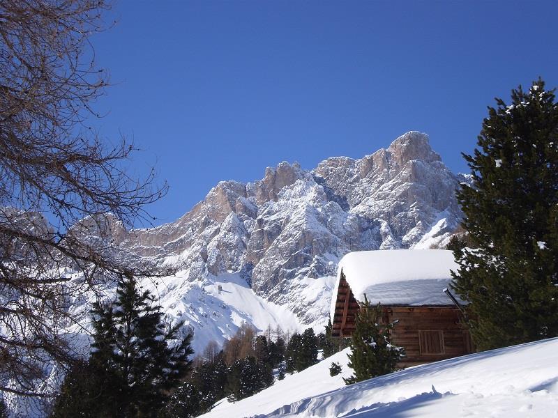
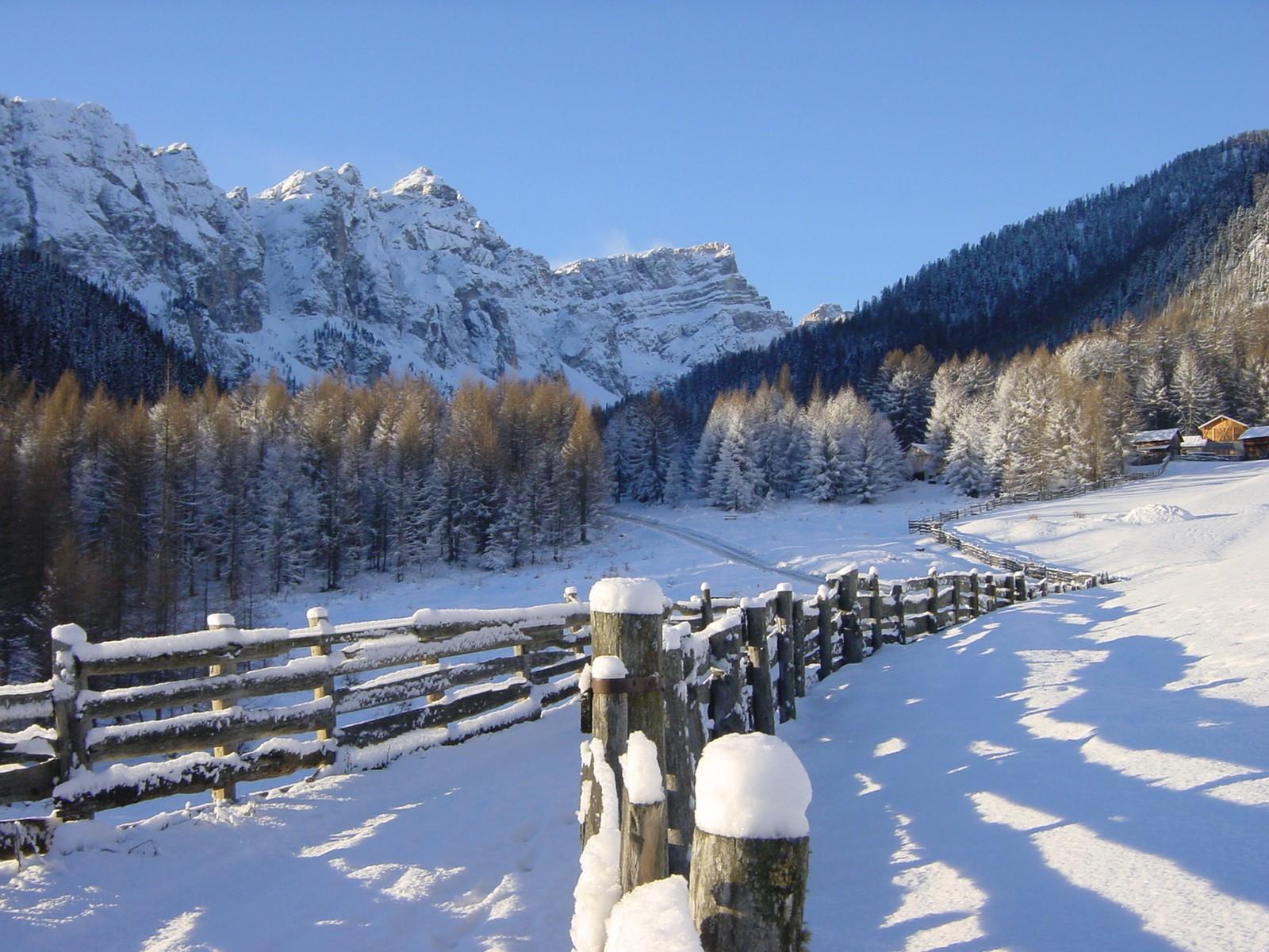
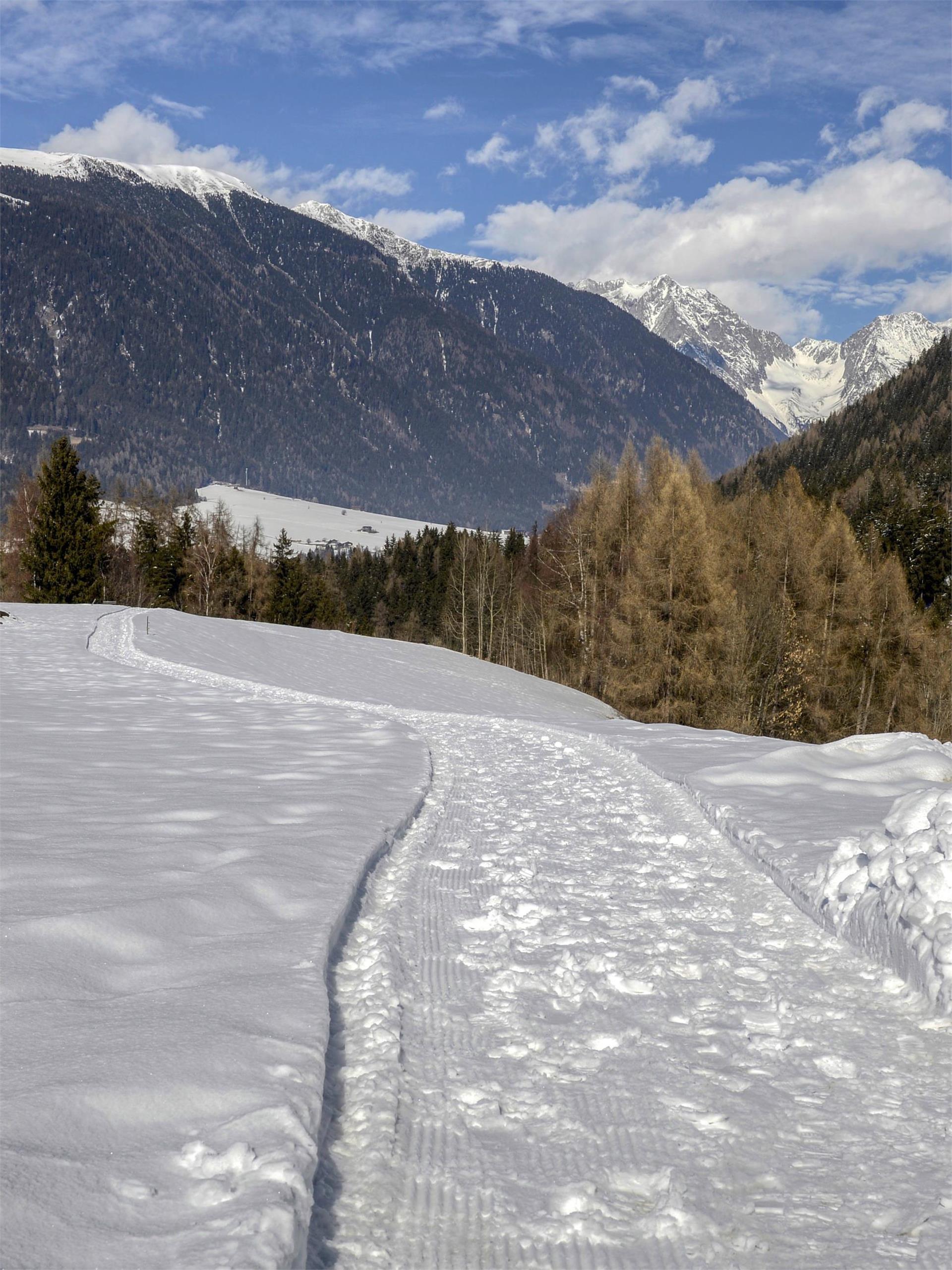
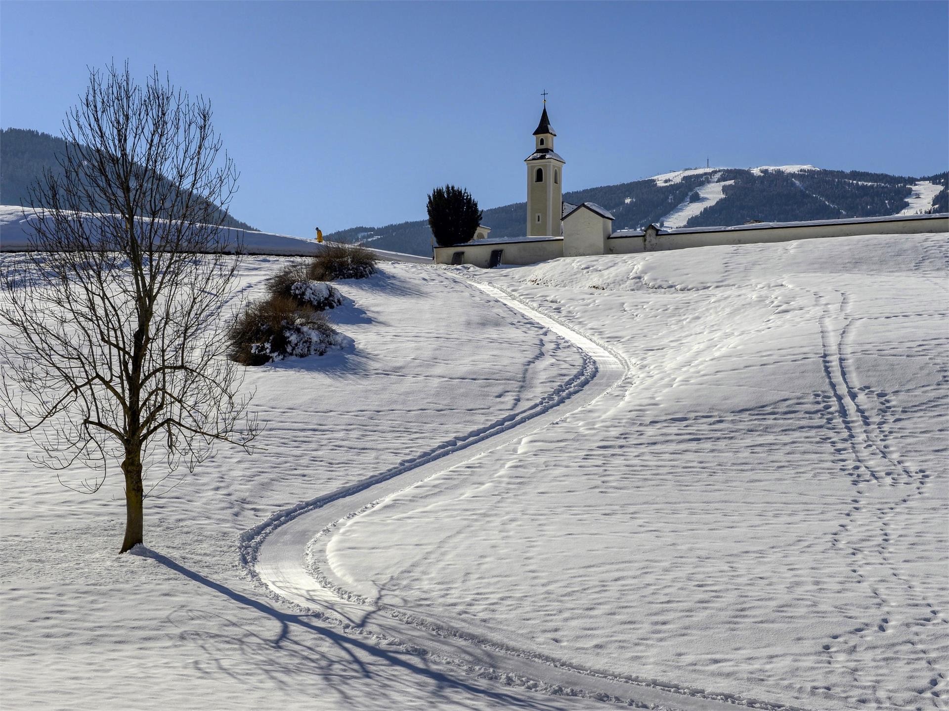
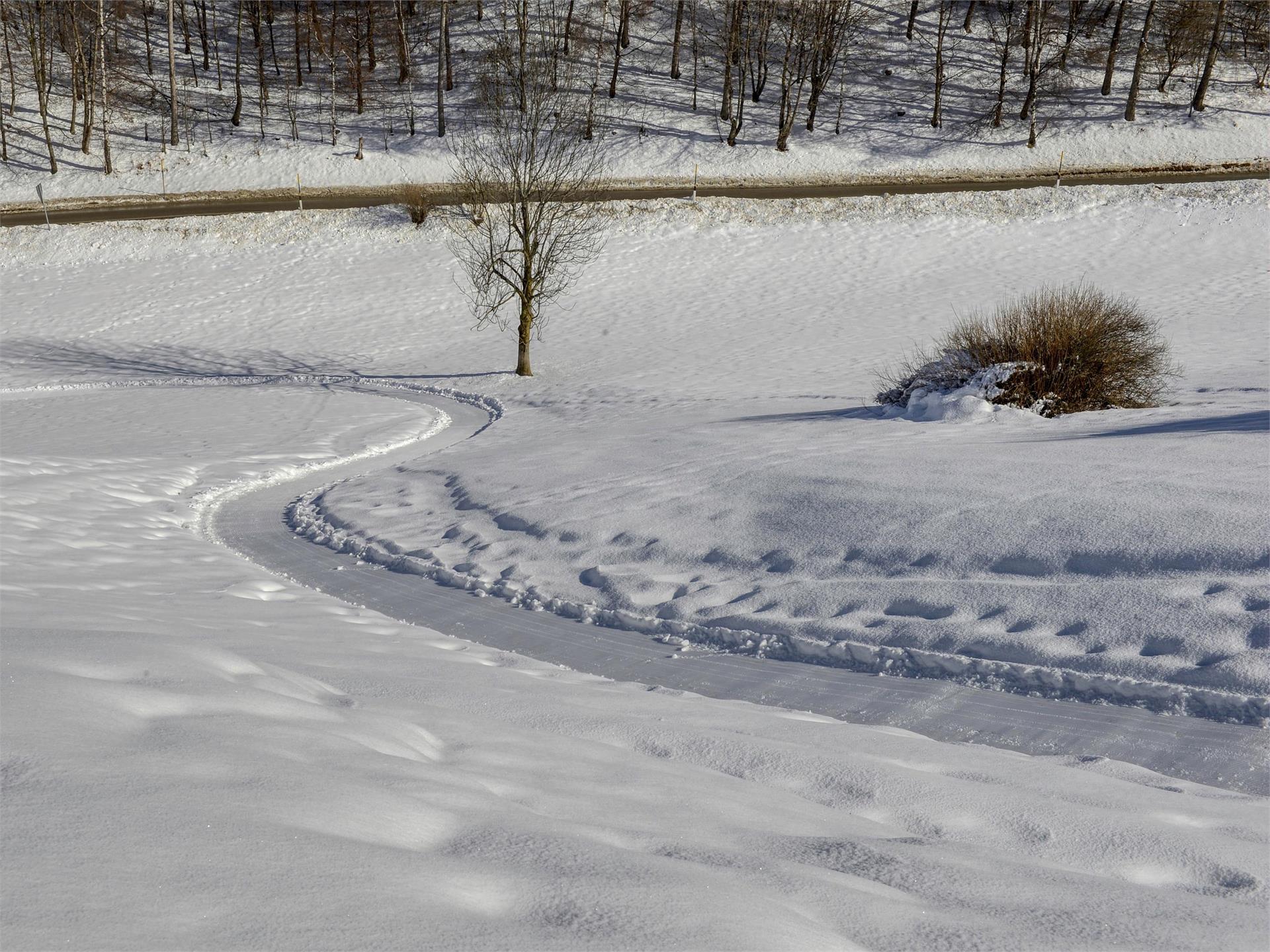
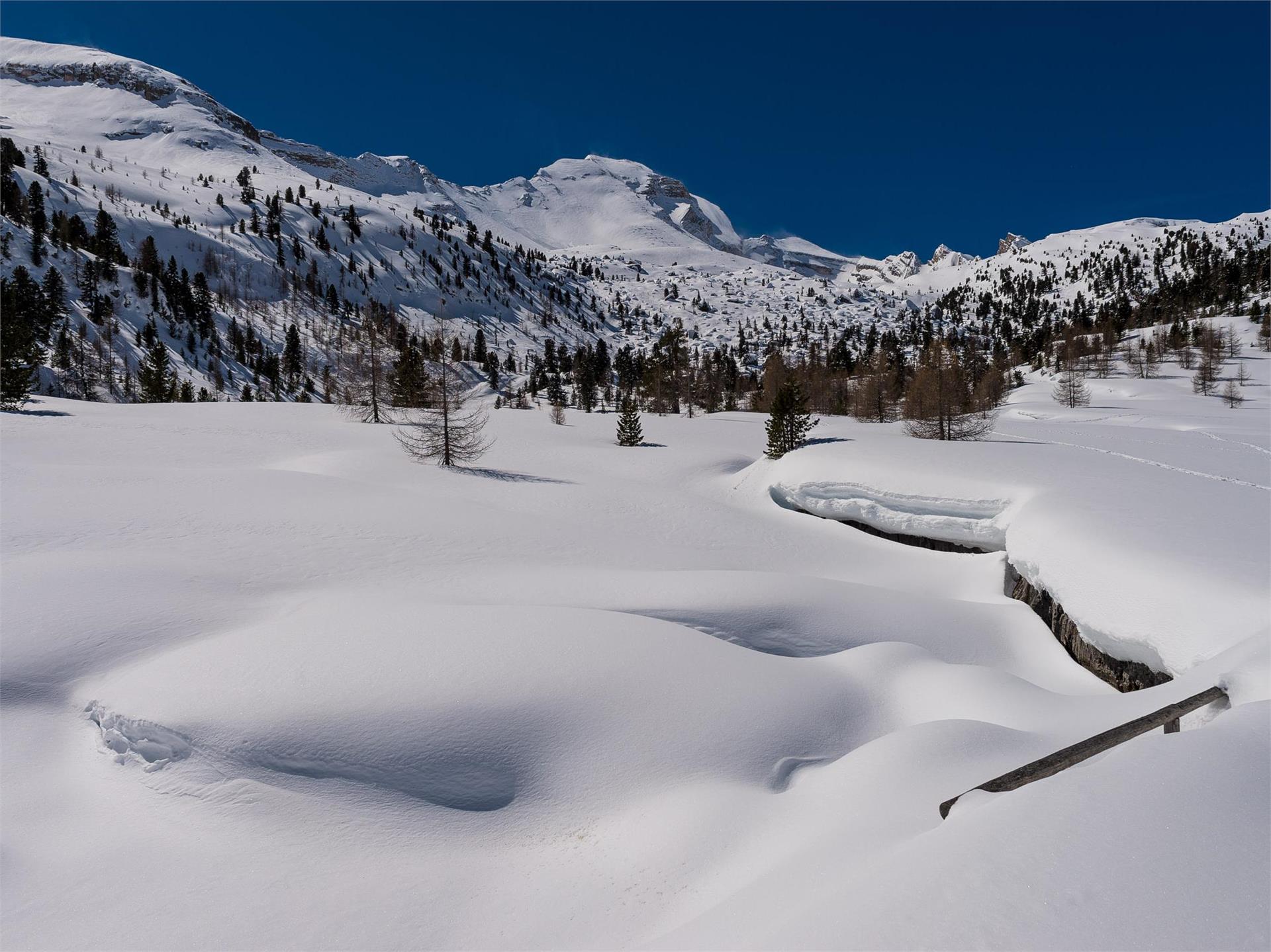
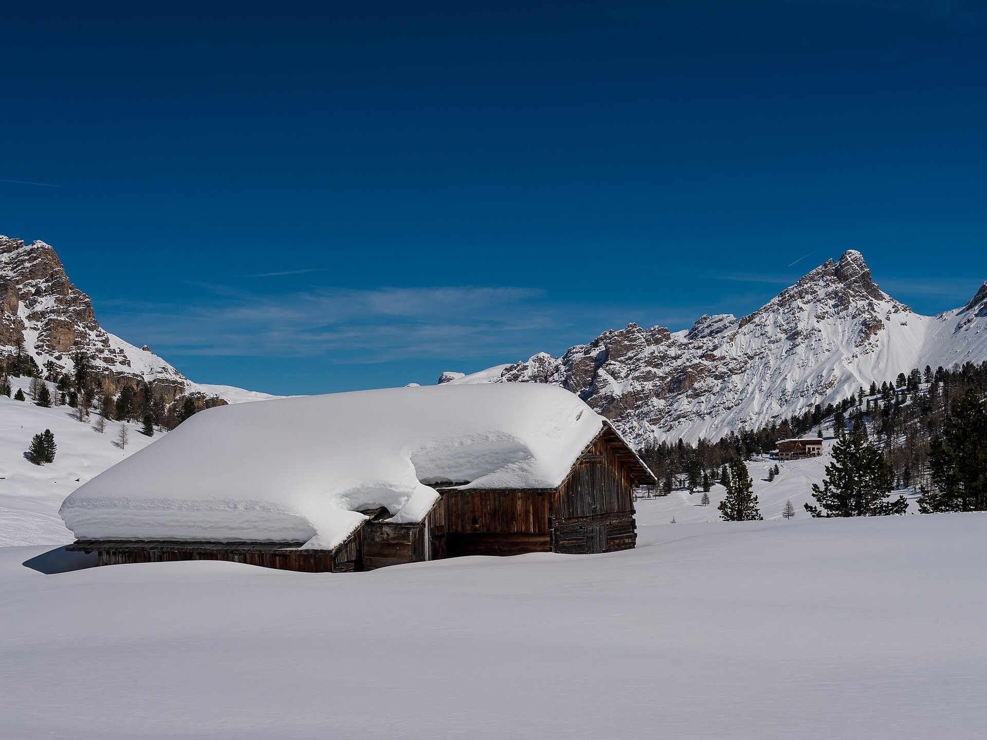
The snowshoe hike to the Fanes pasture offers hikers unforgettable moments in the Nature Park Fanes-Senes-Braies, surrounded by rock faces and enchanted forests. Clear streams and ponds are hidden beneath the white blanket, visible only during snow-free winters. On arrival you will be welcomed by 2 alpine huts, which serve you tasty local dishes.