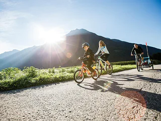
1/3
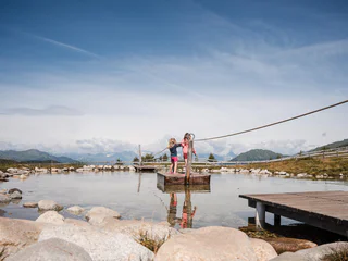
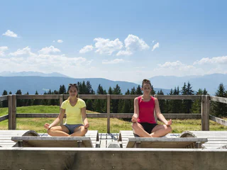
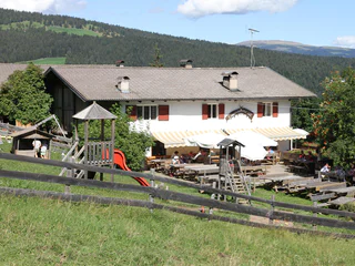
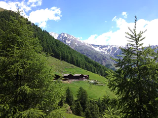
Jochtal adventure park
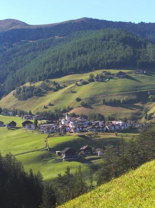
Valles/Vals, Mühlbach/Rio di Pusteria, Brixen/Bressanone and environs
easy
Difficulty
151 m
Elevation gain
1h:07 min
duration
Would you like to experience something? On foot, by bike, in summer or in winter. When hiking, biking or paragliding. South Tyrol is a way of playing for everyone who likes to be active in nature.
1/3
Valles/Vals, Mühlbach/Rio di Pusteria, Brixen/Bressanone and environs
easy
Difficulty
151 m
Elevation gain
1h:07 min
duration

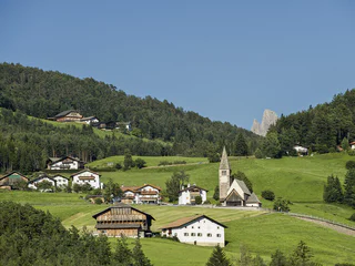
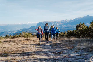
Magrè s.S.d.V./Margreid a.d.W., Margreid an der Weinstraße/Magrè sulla Strada del Vino, Alto Adige Wine Road
medium
Difficulty
1058 m
Elevation gain
3h:38 min
duration
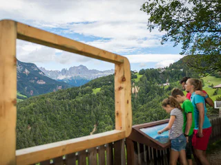
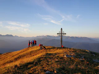
Sesto/Sexten, Sexten/Sesto, Dolomites Region 3 Zinnen
easy
Difficulty
352 m
Elevation gain
3h:30 min
duration
1/10
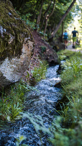
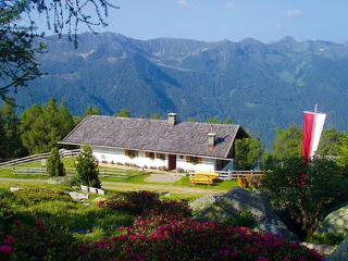
Salorno/Salurn, Alto Adige Wine Road
medium
Difficulty
126 m
Elevation gain
0h:16 min
duration
1/4
Campo Tures/Sand in Taufers, Sand in Taufers/Campo Tures, Ahrntal/Valle Aurina
easy
Difficulty
66 m
Elevation gain
2h:00 min
duration
1/3
Nova Levante/Welschnofen, Welschnofen/Nova Levante, Dolomites Region Eggental
easy
Difficulty
338 m
Elevation gain
2h:12 min
duration
1/3
Terento/Terenten, Terenten/Terento, Brixen/Bressanone and environs
medium
Difficulty
686 m
Elevation gain
2h:30 min
duration

1/4
Prenn/Prenn, Schenna/Scena, Meran/Merano and environs
easy
Difficulty
70 m
Elevation gain
0h:45 min
duration
Soprabolzano/Oberbozen, Ritten/Renon, Bolzano/Bozen and environs
easy
Difficulty
120 m
Elevation gain
1h:00 min
duration
Caldaro Paese/Kaltern Dorf, Kaltern an der Weinstraße/Caldaro sulla Strada del Vino, Alto Adige Wine Road
medium
Difficulty
1354 m
Elevation gain
57.2 Km
distance
Morter/Morter, Latsch/Laces, Vinschgau/Val Venosta
medium
Difficulty
0 m
Elevation gain
1.2 Km
distance
1/2
Castelrotto/Kastelruth, Kastelruth/Castelrotto, Dolomites Region Seiser Alm
medium
Difficulty
567 m
Elevation gain
4h:12 min
duration
1/5
Collepietra/Steinegg, Karneid/Cornedo all'Isarco, Dolomites Region Eggental
easy
Difficulty
221 m
Elevation gain
1h:28 min
duration
1/9
Montesole/Sonnenberg - Parcines/Partschins, Partschins/Parcines, Meran/Merano and environs
easy
Difficulty
194 m
Elevation gain
1h:34 min
duration
1/3
Campo Tures/Sand in Taufers, Bruneck/Brunico, Dolomites Region Kronplatz/Plan de Corones
easy
Difficulty
47 m
Elevation gain
17 Km
distance
1/4
Redagno/Radein, Aldein/Aldino
difficult
Difficulty
1246 m
Elevation gain
6h:30 min
duration
1/3
Terento/Terenten, Terenten/Terento, Brixen/Bressanone and environs
medium
Difficulty
827 m
Elevation gain
2h:30 min
duration
1/2
Außermühlwald/Selva di Fuori, Mühlwald/Selva dei Molini, Ahrntal/Valle Aurina
medium
Difficulty
484 m
Elevation gain
1h:30 min
duration
1/4
Vallesina/Versein, Mölten/Meltina, Bolzano/Bozen and environs
easy
Difficulty
91 m
Elevation gain
0h:33 min
duration
Caldaro Paese/Kaltern Dorf, Kaltern an der Weinstraße/Caldaro sulla Strada del Vino, Alto Adige Wine Road
easy
Difficulty
565 m
Elevation gain
23.3 Km
distance
1/5
Kuens/Caines, Moos in Passeier/Moso in Passiria, Meran/Merano and environs
easy
Difficulty
32 m
Elevation gain
0h:19 min
duration
1/2
Redagno/Radein, Aldein/Aldino
medium
Difficulty
160 m
Elevation gain
1h:30 min
duration
1/3
Certosa/Karthaus, Latsch/Laces, Vinschgau/Val Venosta
medium
Difficulty
1528 m
Elevation gain
6h:45 min
duration
1/2
Longiarù/Campill, Al Plan/San Vigilio, Dolomites Region Kronplatz/Plan de Corones
easy
Difficulty
158 m
Elevation gain
1h:34 min
duration
1/4
S. Giacomo/St. Jakob - Ortisei/St.Ulrich, S.Crestina Gherdëina/Santa Cristina Val Gardana, Dolomites Region Val Gardena
medium
Difficulty
394 m
Elevation gain
1h:46 min
duration
1/2
Sorgente/Quellenhof, Riffian/Rifiano, Meran/Merano and environs
medium
Difficulty
1000 m
Elevation gain
5h:00 min
duration
Ganda/Gand - Martello/Martell, Martell/Martello, Vinschgau/Val Venosta
easy
Difficulty
430 m
Elevation gain
3h:00 min
duration
1/3
Rio di Pusteria/Mühlbach, Mühlbach/Rio di Pusteria, Brixen/Bressanone and environs
medium
Difficulty
1512 m
Elevation gain
32.1 Km
distance
1/4
Maso Corto/Kurzras, Schnals/Senales, Vinschgau/Val Venosta
medium
Difficulty
274 m
Elevation gain
1h:13 min
duration
1/2
Planol/Planeil, Mals/Malles, Vinschgau/Val Venosta
difficult
Difficulty
500 m
Elevation gain
3h:55 min
duration
Thank you for signing up!
You are already subscribed
Confirm your registration
To complete your subscription, open the email we just sent you and click on the confirmation link.
Can’t find it? Check your spam folder too.
We noticed that you are already subscribed to our Newsletter. We will update you on exclusive offers, fun adventures and more so you can make the best out of your vacation.
We noticed that you already tried to subscribe to our Newsletter in the past but didn’t confirmed the subscription. We have resent you an email now, please check your inbox and spam folder to confirm.


