Friendly atmosphere, Tyrolean dishes, camp bed, board games - the "Hochganghaus" invites you to take a break. For families and hikers who enjoy the beauty of the mountains.
Twelve kilometers long, the Marlinger Waalweg trail is a popular hiking trail which runs along the former irrigation channels, the longest of its kind in South Tyrol. Starting at the Töllbrücke bridge, the 250 year-old path gently ascends through apple orchards and woods to firmer and more level ground. After pausing to admire the medieval Lebenberg Castle, hikers continue slightly downhill along the slope of Marling mountain to the village of Lana.
Spectacular views of the surrounding mountains can be seen along the entire length of the Marlinger Waalweg trail. The agricultural landscape lining the irrigation channels is also impressive, with meadows and forests alternating with vineyards and orchards. Along the Marlinger Waalweg trail there are also impressive views of the Merano basin, the Val Passiria/Passeier Valley, and the imposing Texelgruppe mountain range.
Beautiful mountain hike with a wonderful view of the Merano region and the surrounding mountain scenery. There are some alpine pastures along the way that invite you to stop and relax.
The Tschigat is a striking peak in the Texel Group. The pyramid formed from gneiss offers a magnificent view of many mountain peaks. The tour to the Tschigat is not just a hike, but a real mountain tour with easy climbing passages (grade 2) in exposed terrain. Experience, a good physical condition, sure-footedness, a head for heights and stable mountain weather are prerequisites (dangerous with ice and snow).
The climatic terrain cure is a special form of exercise therapy characterised by activity adapted to one’s fitness level, endurance training, and time spent in the outdoors experiencing the landscape, which is carried out through a personalised walking programme.
So-called terrain hiking improves endurance and agility, increases speed and flexibility, reinforces the cardiovascular system, stimulates breathing activity and strengthens muscles, ligaments and joints. It has a positive impact on the metabolism, activates the digestive system and noticeably increases the expenditure of calories.
The climatic terrain cure is recommended for functional cardiovascular disorders, respiratory and metabolic disorders, and above all is a tried and tested method of primary prevention and general health promotion.
The "Terrainkur" trails in Partschins/Parcines have been certified by the Ludwig-Maximilians-University of Munich.
Aschbach, a fraction of Algund, is a small mountain village at 1,360 meters. It is located southwest of Algund and can be reached by cable car in only 7 minutes. In a circular hike you will discover the Naturnser Alm (mountain hut) and its surroundings at 2.000 m, located below the Mount Guardia Alta at the eastern foothills of the Ortles-Cevedale Group.
Chairlift and gondola basket lift Vellau
The ride with the single chairlift from Plars to Vellau is a dreamlike experience of nature. Slowly you travel up through the vineyards and forests from Algund to Vellau.
From there, the nostalgic gondola basket lift brings you directly to the Leiter Alm mountain pasture - situated on the Merano High Mountain Trail - at an altitude of 1,550 metres.
Price list
Single ride: 8,00 €
Round trip: 10,00 €
Childeren up to 12 years: 4,50 € single ride - 5,50 € round trip
Dog: single ride 3,00 € - round trip 4,00 €
Especially on warm days, the Marling mountain road is an ideal hiking path particularly on warm days, along the North-Eastern slope of the Marling mountain.
Chairlift and gondola basket lift Vellau
Up to airy heights!
The ride with the single chairlift from Plars to Vellau is a dreamlike experience of nature. Slowly, you travel up through the vineyards and forests from Algund to Vellau.
Price list:
Single ride: 10,00 €
Round trip: 15,00 €
Children up to 12 years: 6,00 € single ride; 6,50 € round trip
Dog: single ride 4,00 € - round trip 4,50 €
The Spronser lakes are located at the centre of the Texel Mountain Nature Park, one of the largest high mountain lake districts in the entire Alps. They are filled with melted snow water and are a real highlight of the Texel Group Nature Park. Their clear waters reflect the surrounding landscape, which makes them a popular place for walkers and hikers. The ten little lakes, which lie at an altitude of between 2,117 mt. and 2,589 mt., are the highest mountain lakes in South Tyrol.
The lakes include the Kasersee 2,117 mt., Pfitschersee 2,126 mt., Mückensee 2,330 mt., Grünsee 2.338 mt., Langsee 2,377 mt., Schiefersee 2,501 mt., Kesselsee 2,512 mt., Schwarzsee 2,589 mt. and the two Milchseen at 2,540 mt.
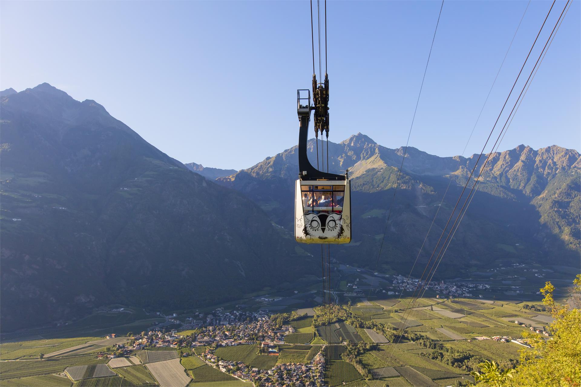
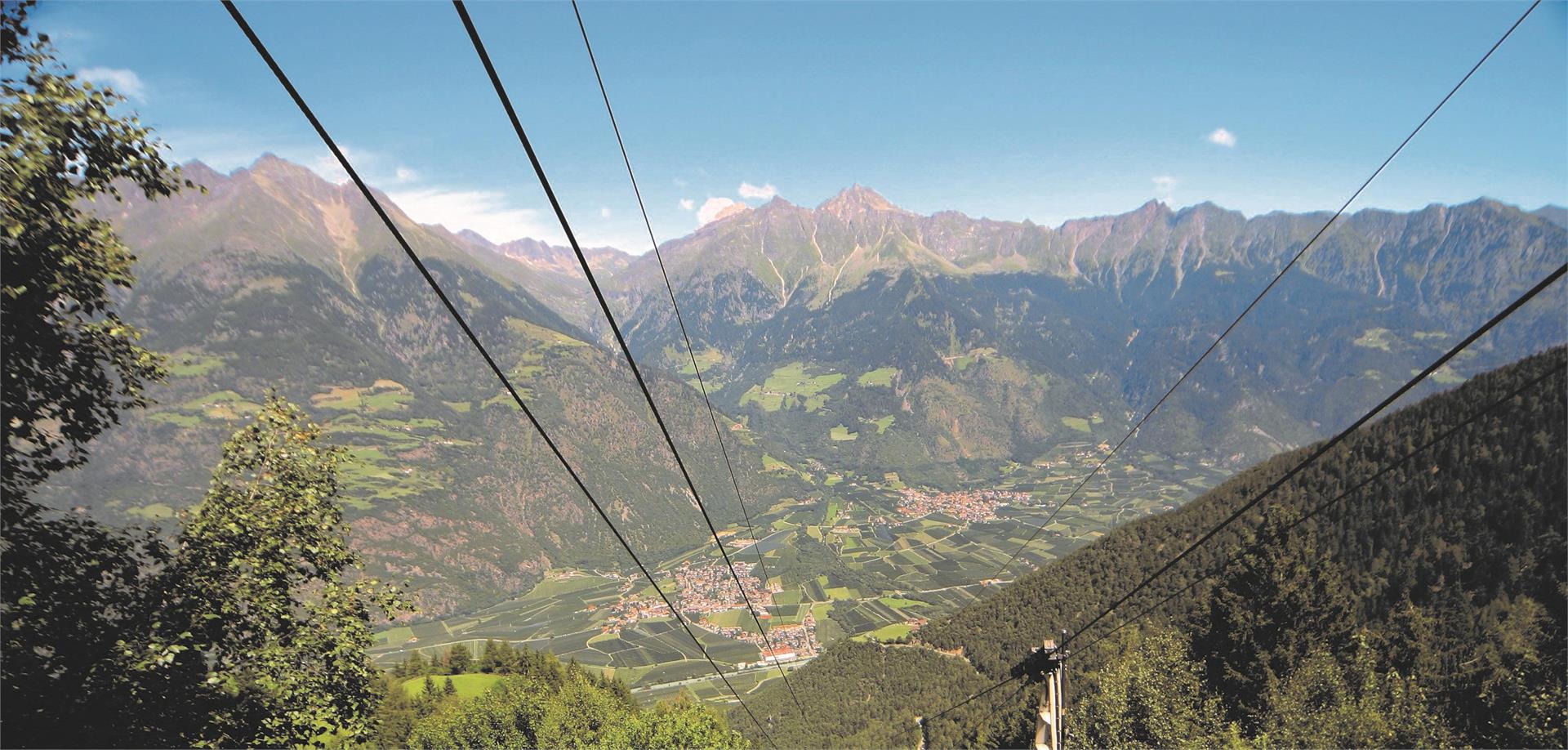
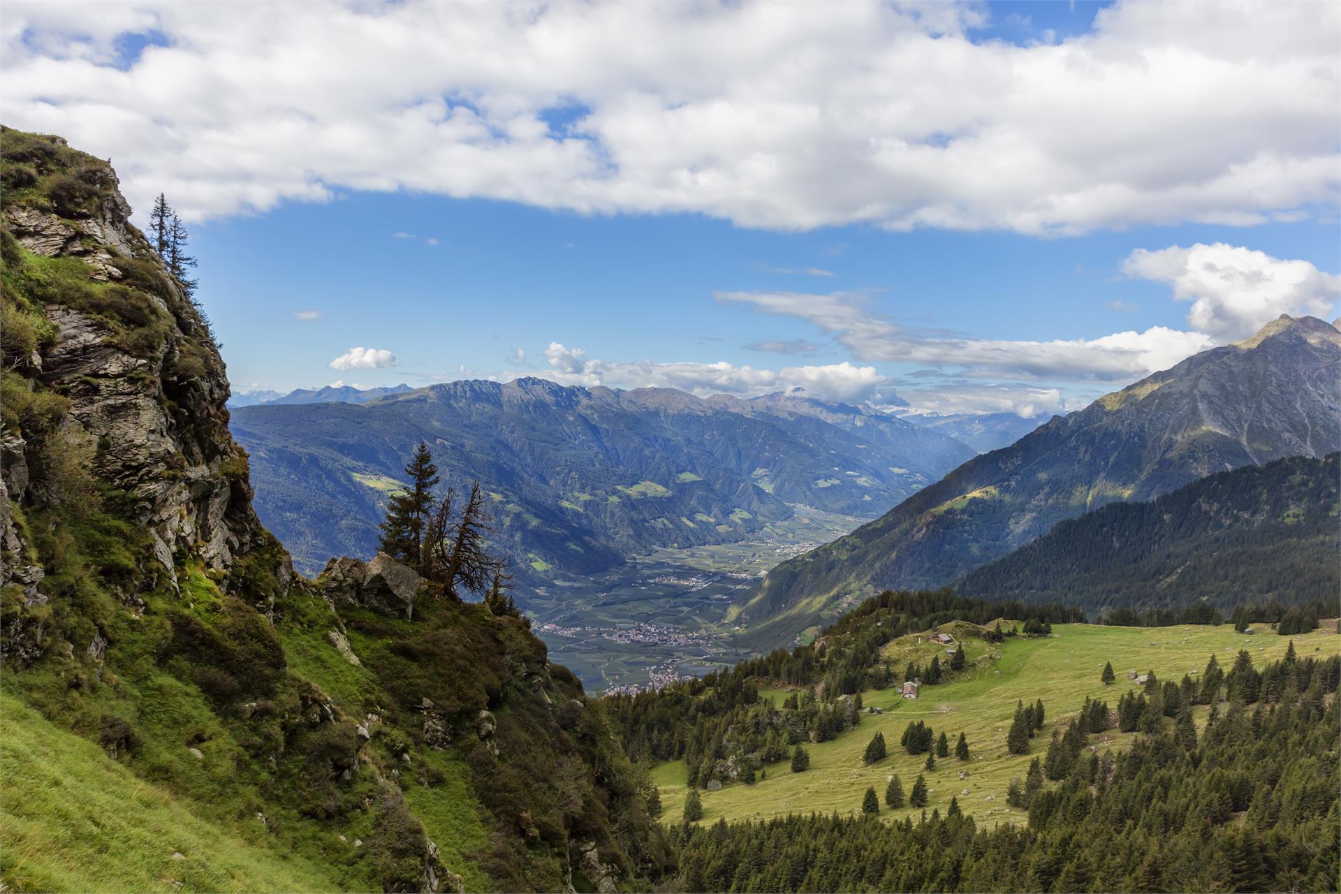
The Meran High Mountain Road is one of the most beautiful high-Alpine circular trails in Europe. At a length of 100 kilometres, it surrounds South Tyrol’s largest nature park, the Texel Group Nature Park, at an altitude of approx. 1,400 metres. There are altitude differences at around 100 metres along the way. The Texel Group is situated between the Italian-Austrian border, the Meran basin, the Passeier Valley and the Schnals Valley.
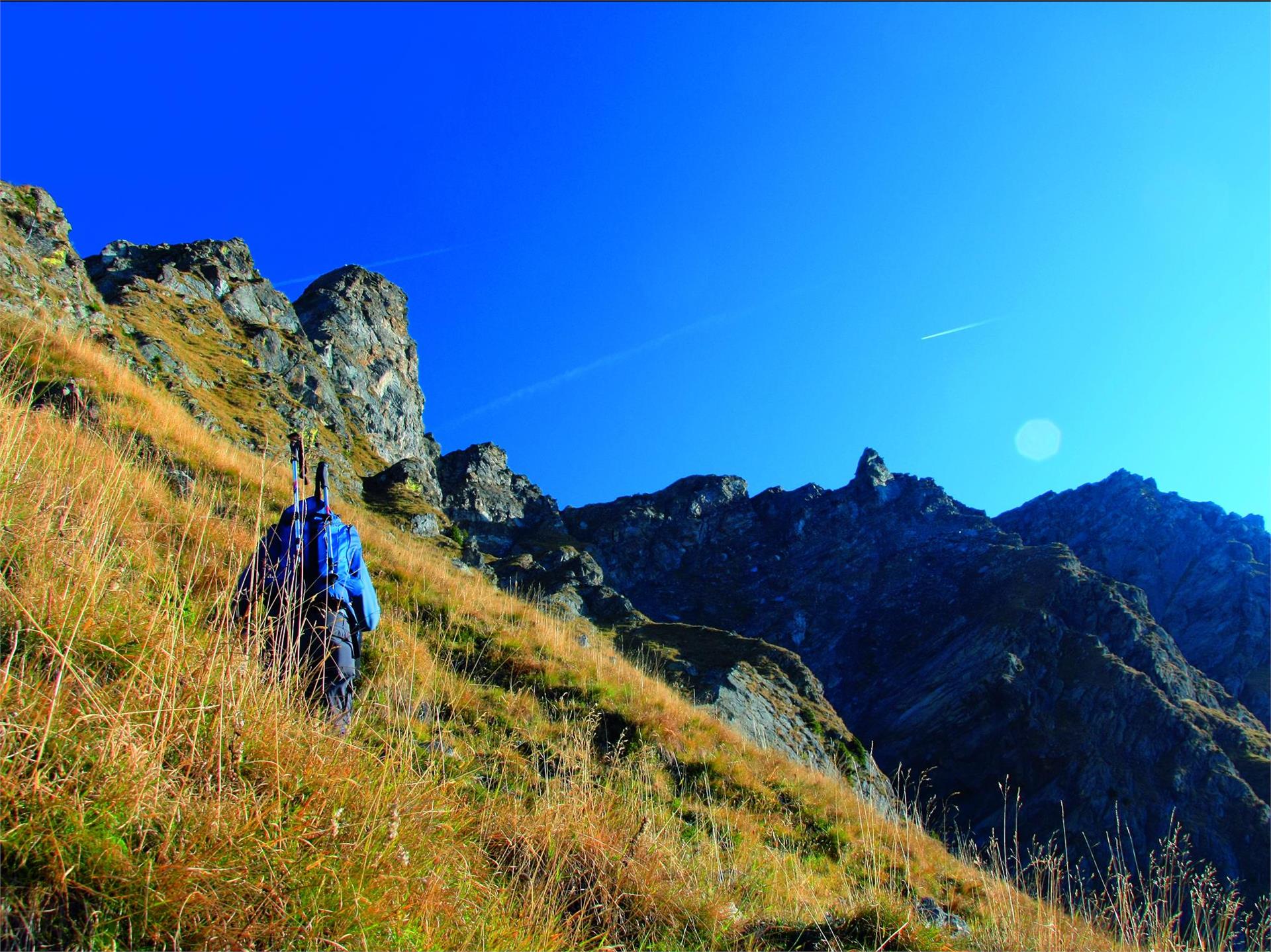
The Meran High Mountain Road is divided into a Northern and a Southern route. The northern part of the mountain road has its peak at the Eisjöchl, which is at an altitude of 2,895 metres. In the southern realm, you can reach an altitude of 1,839 metres at the Hochganghaus Hut.
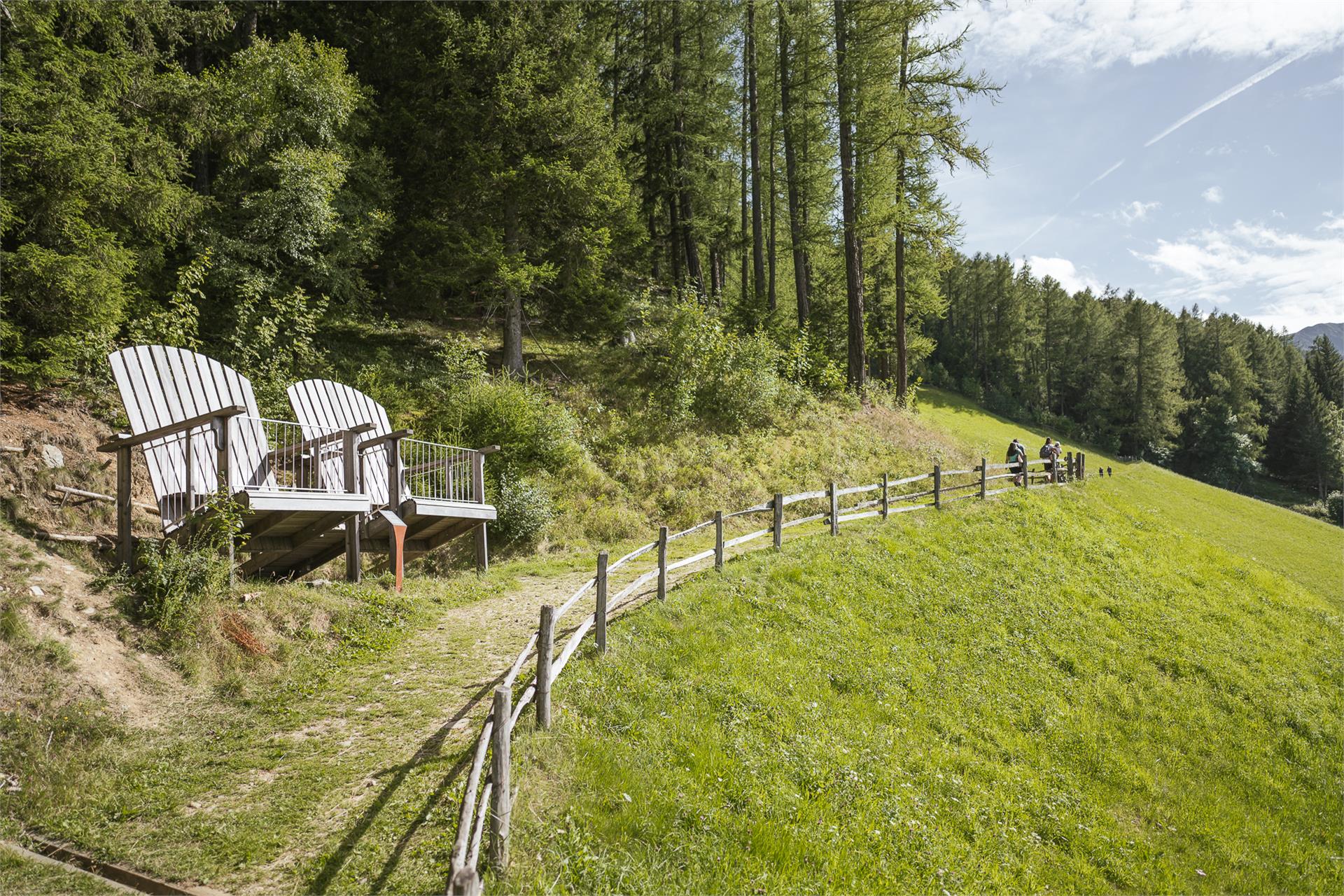
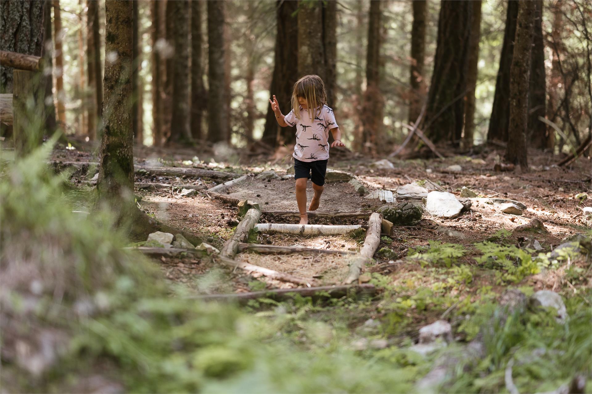
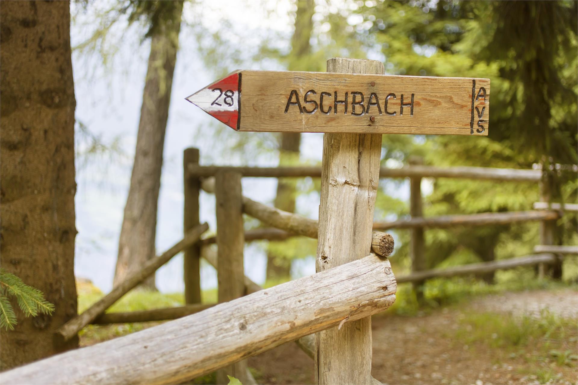
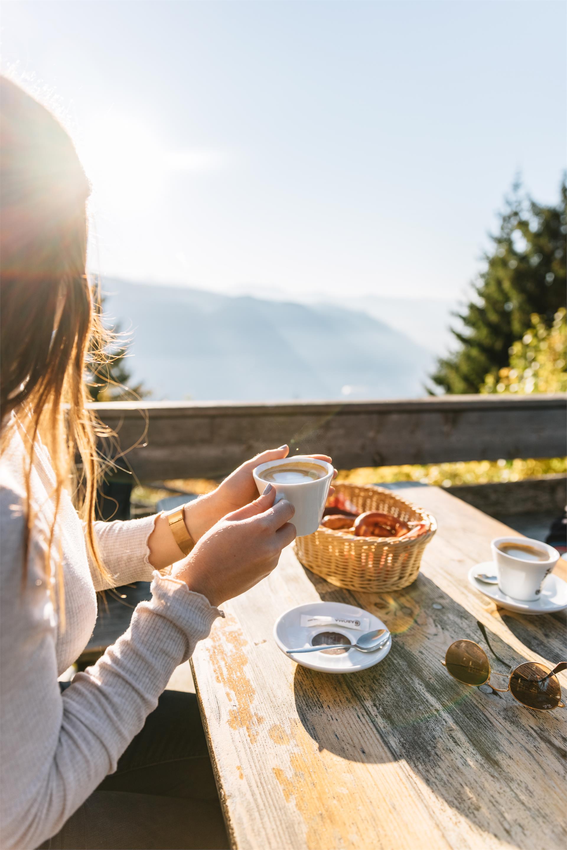
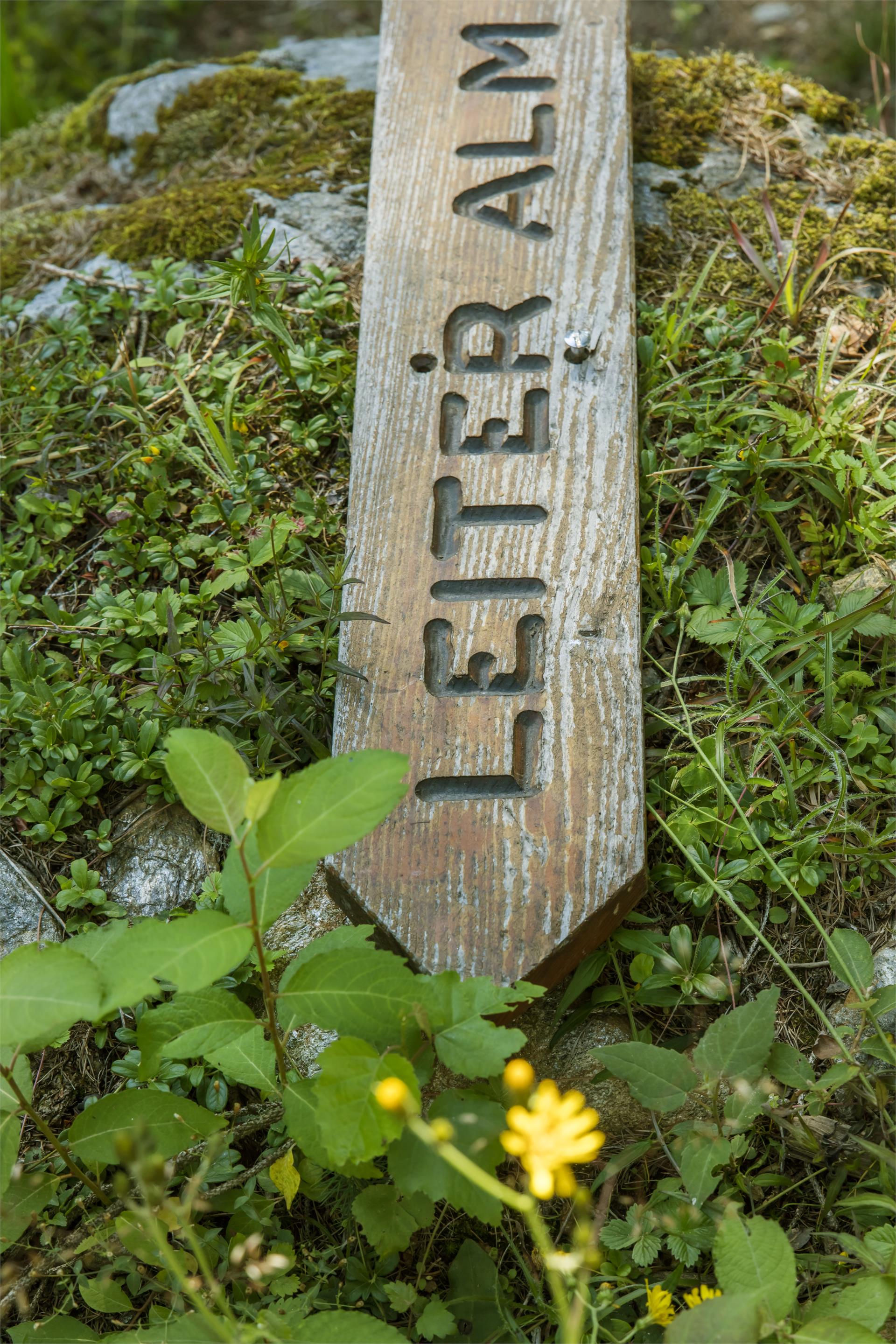
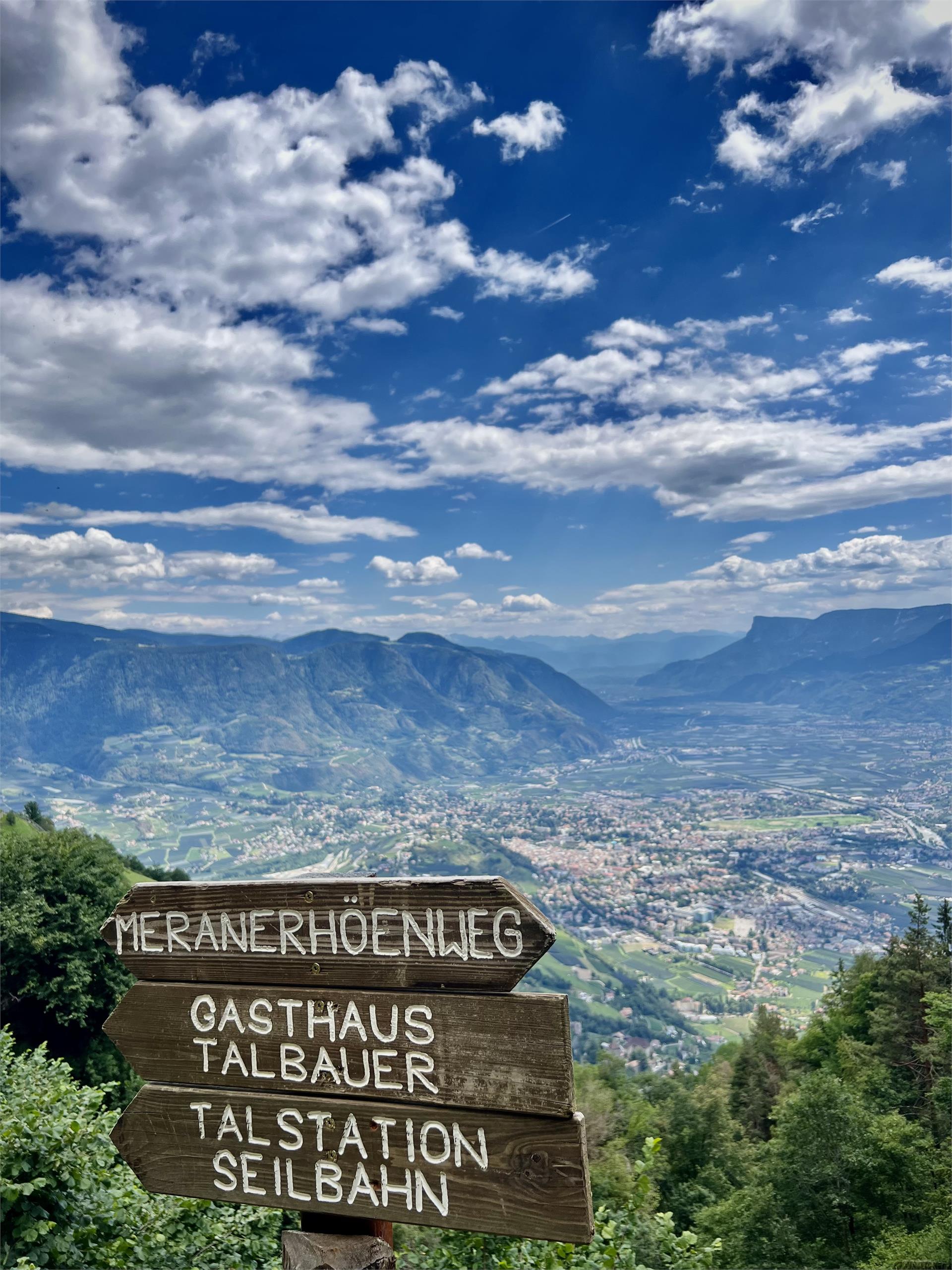
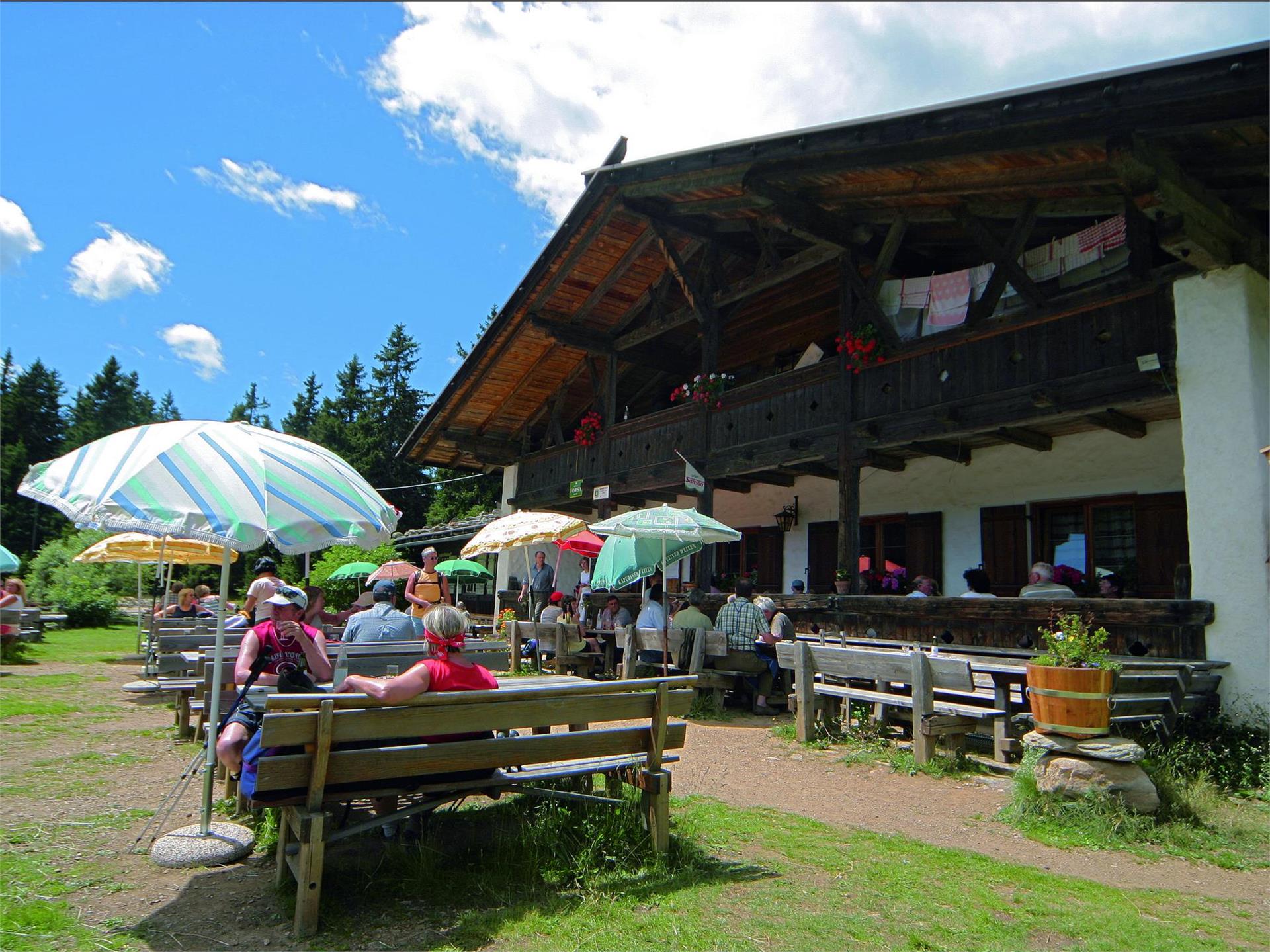
Depending on your condition and the length of the stages you choose, it will take you between 3 and 8 days to cover the entire circular route. No fear! Along the way, there are numerous Alpine huts, offering South Tyrolean delicacies and protection from the rain and storms. Please check out the opening times of the individual huts.
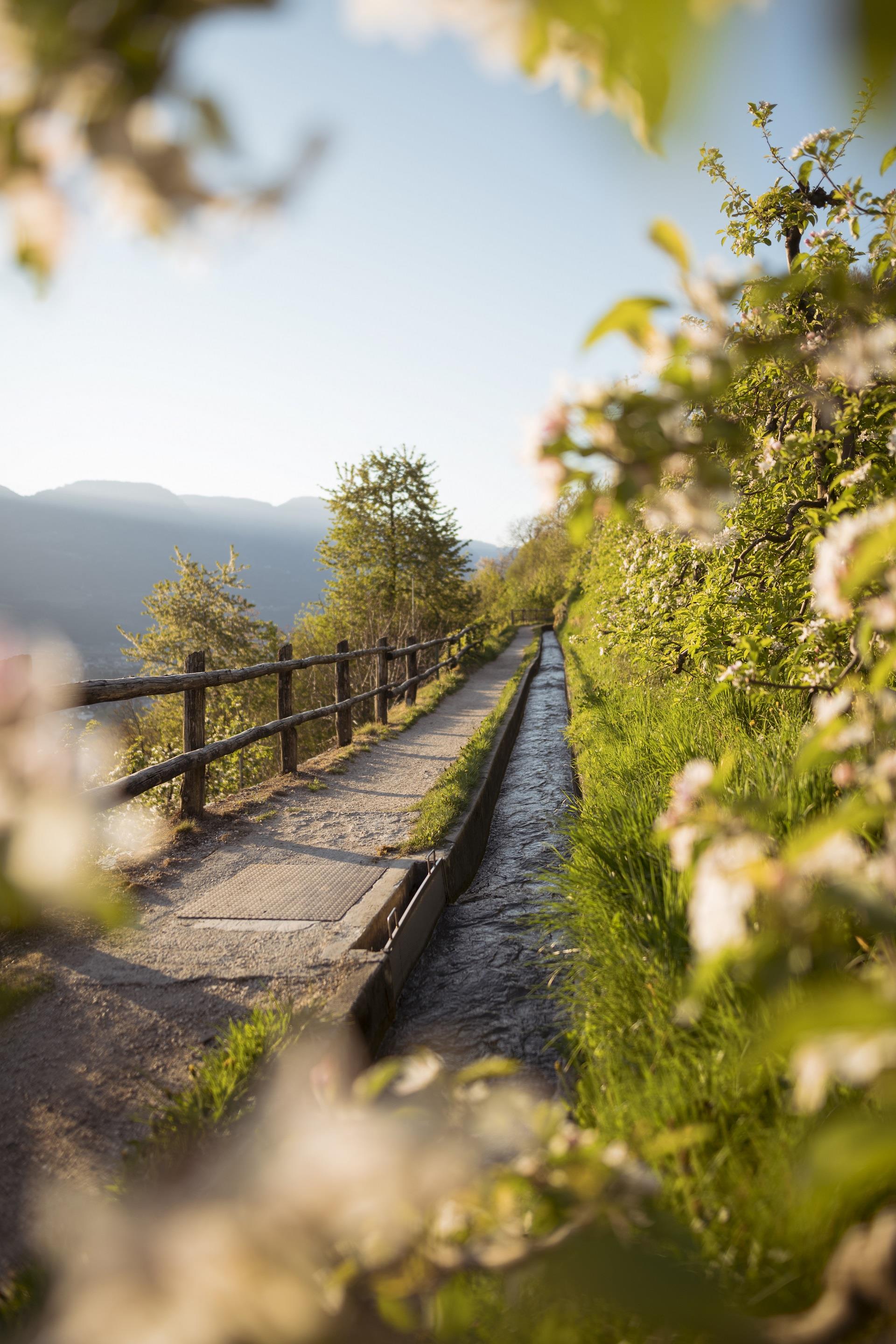
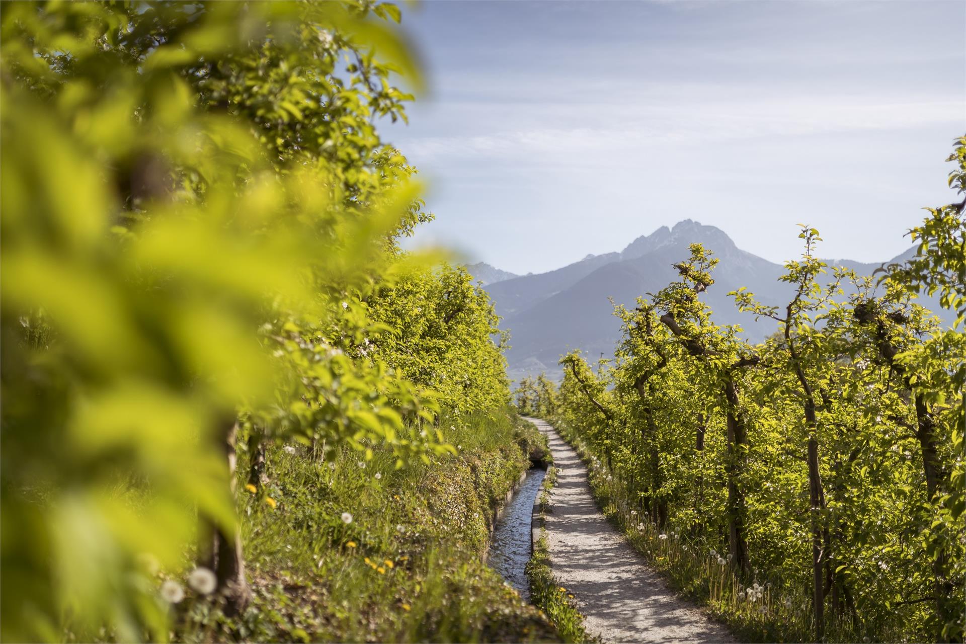
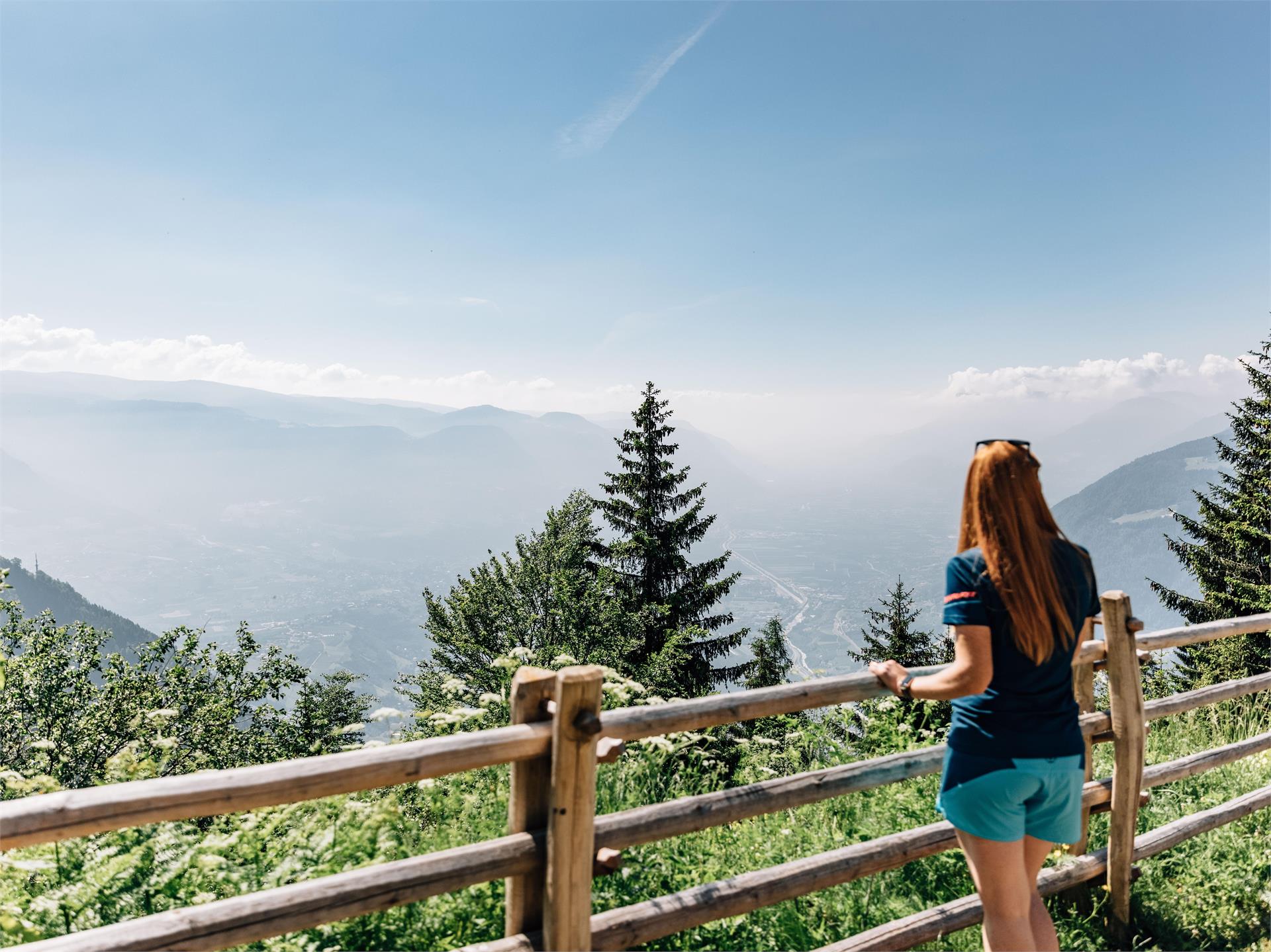
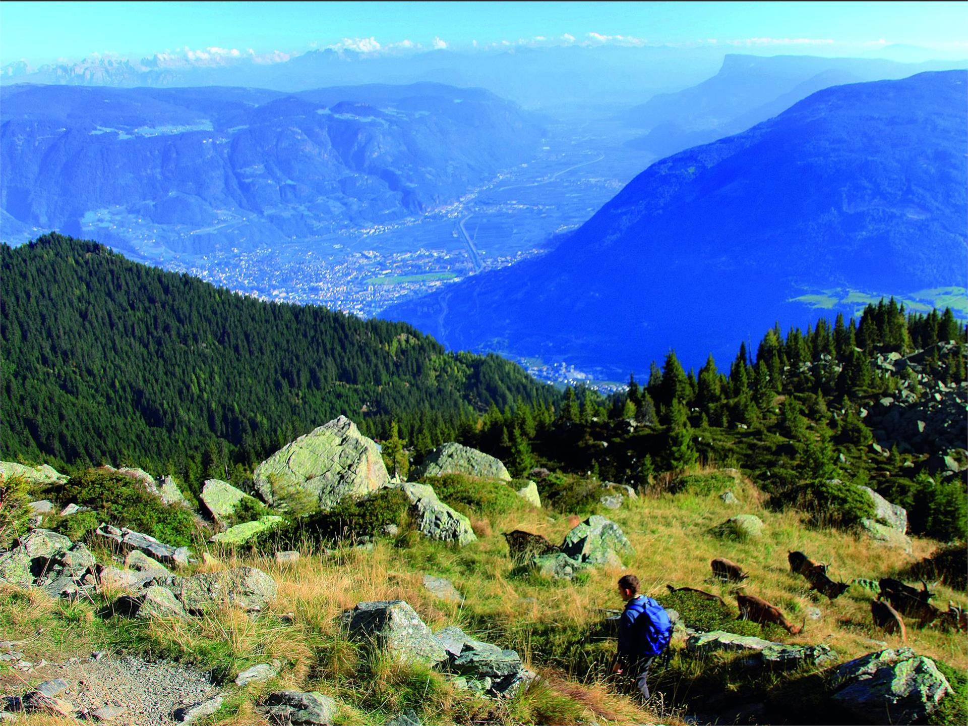
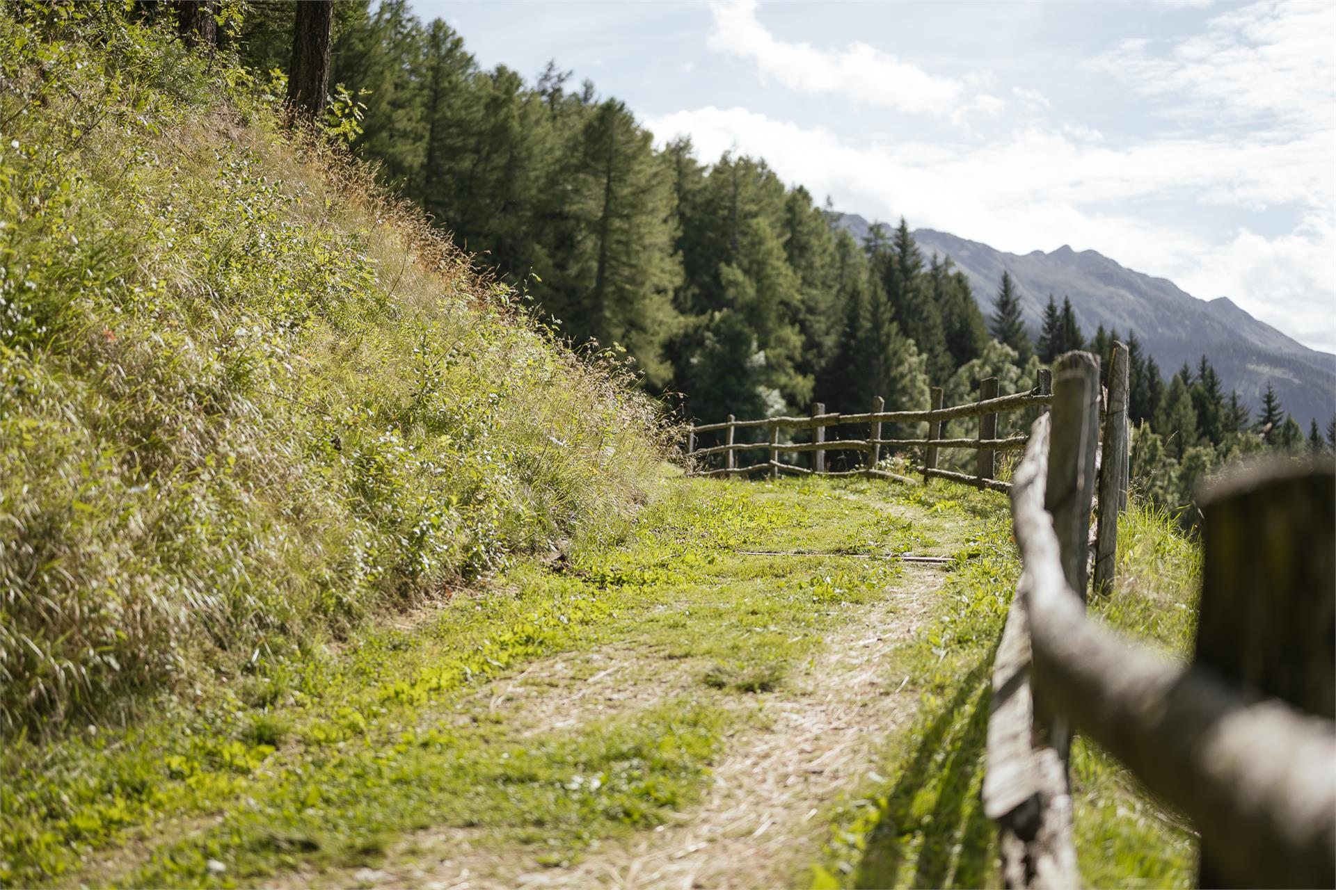
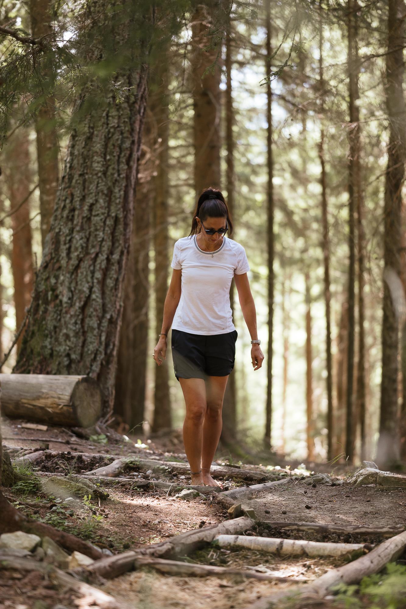
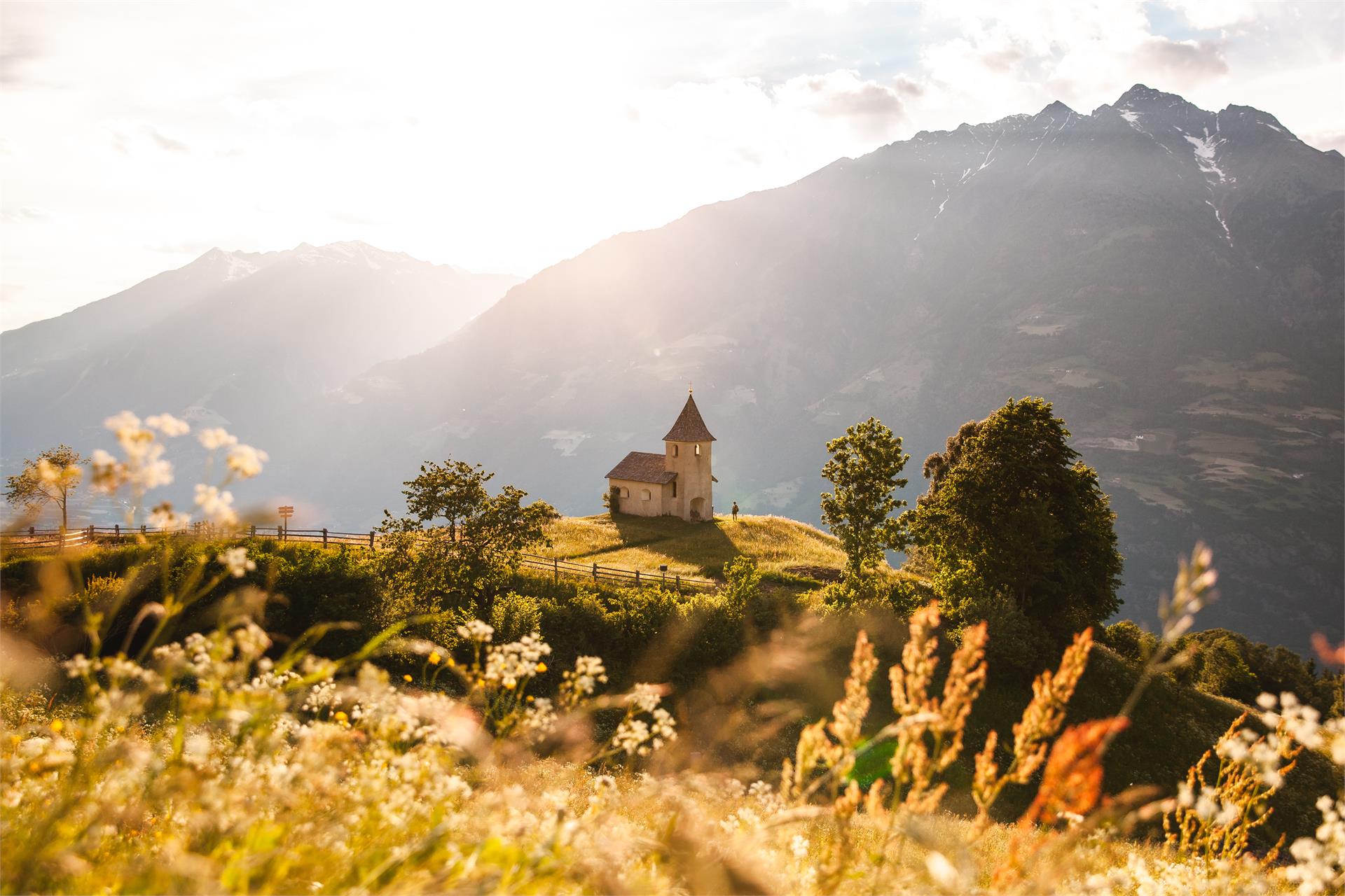
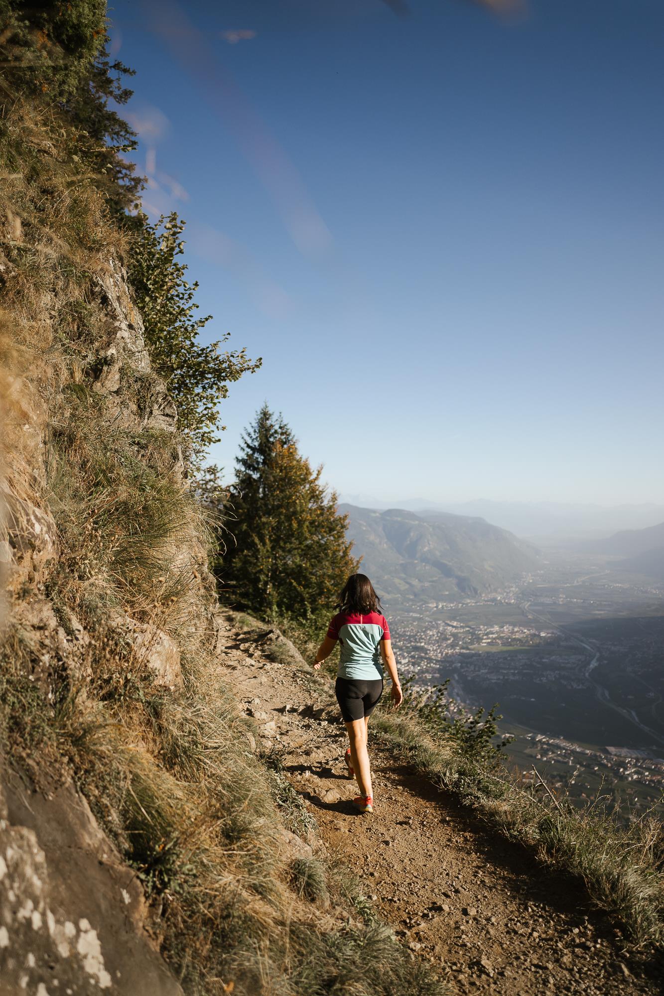
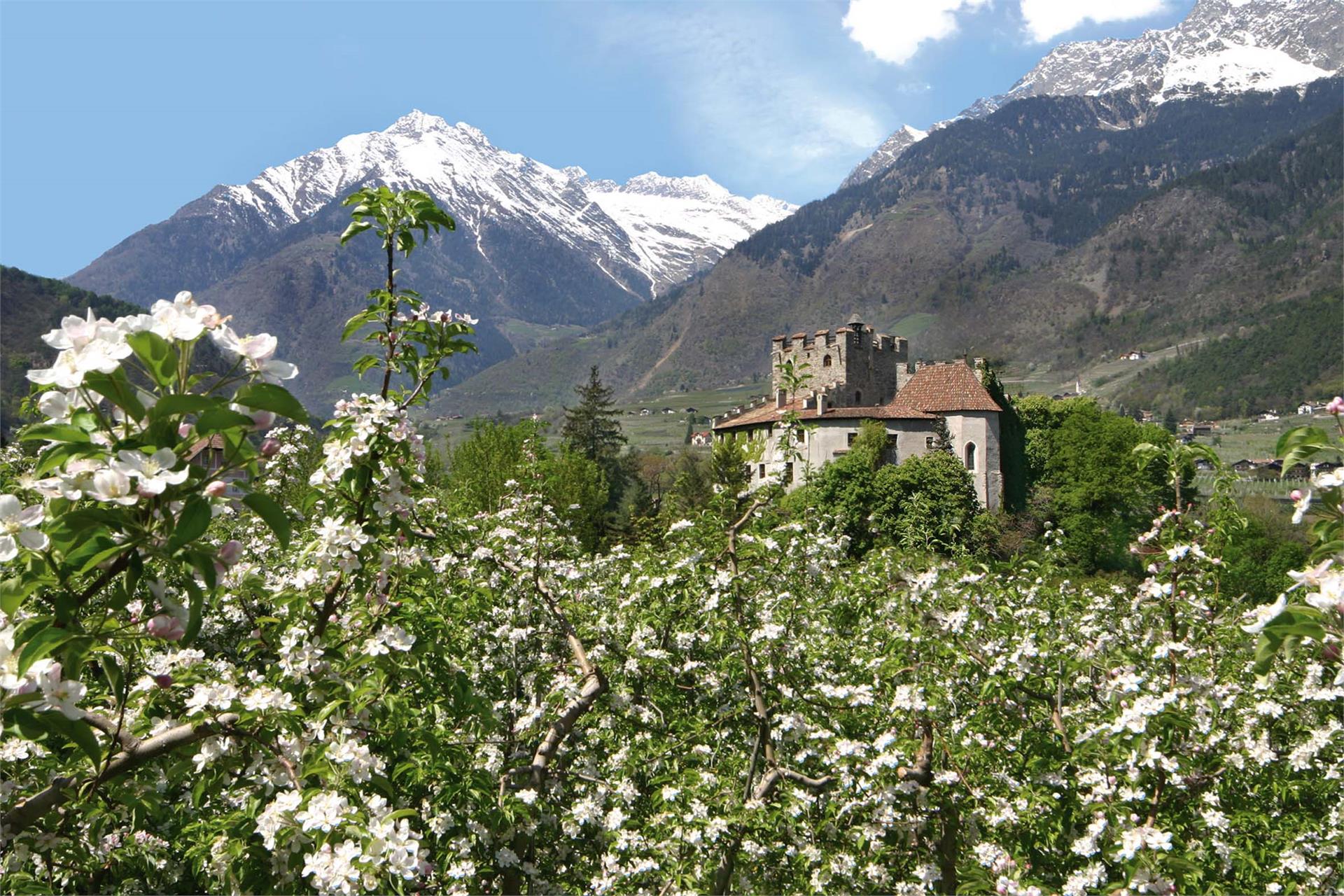
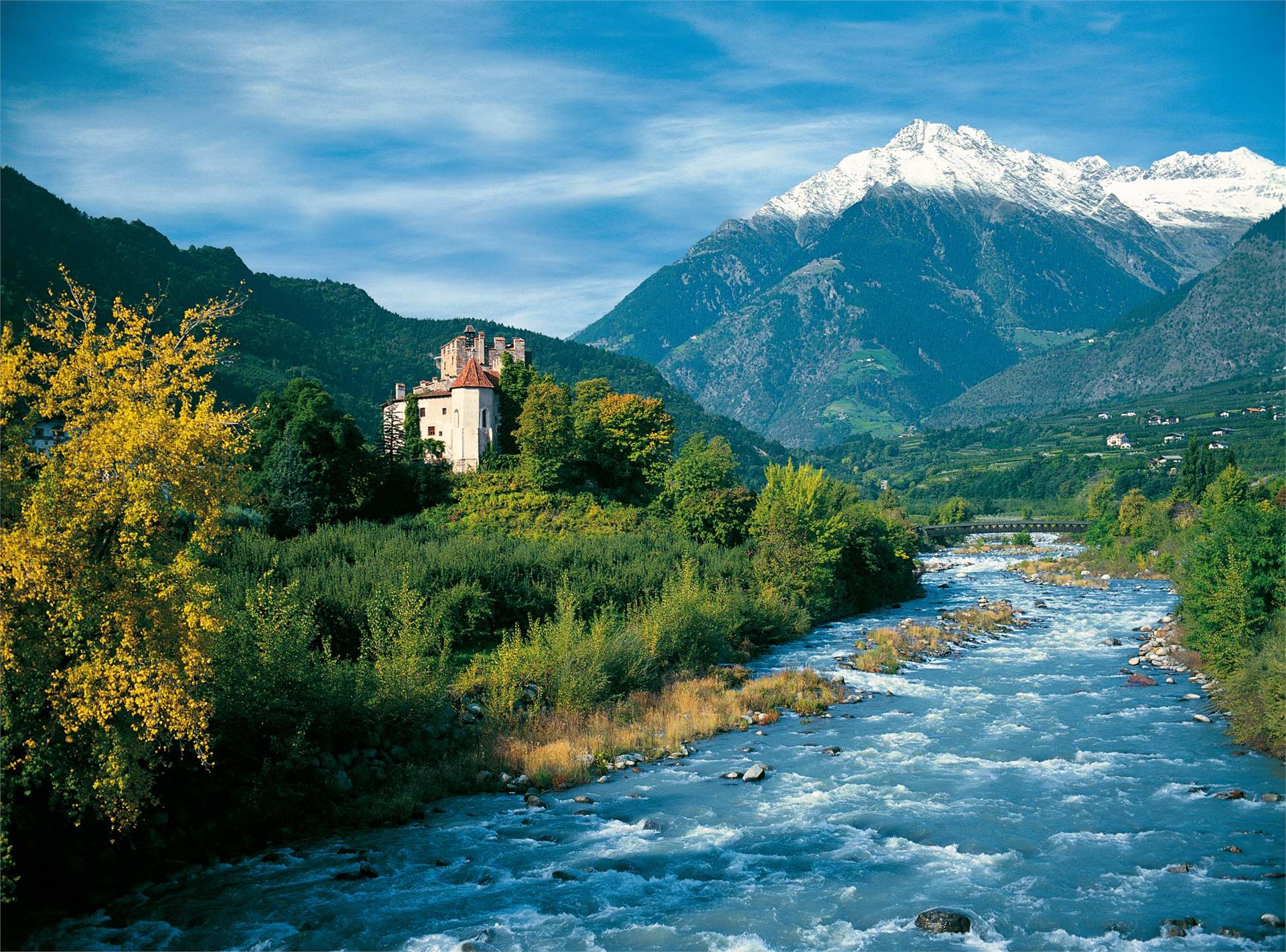
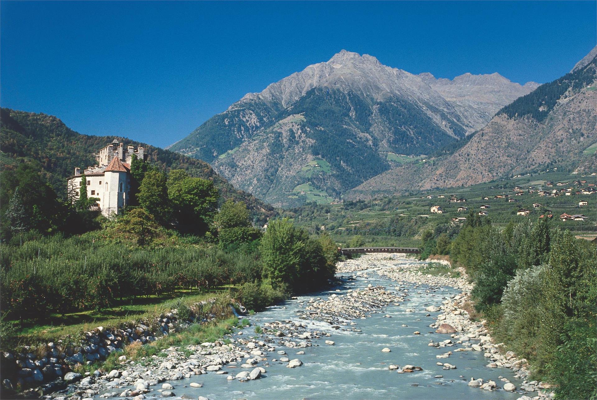
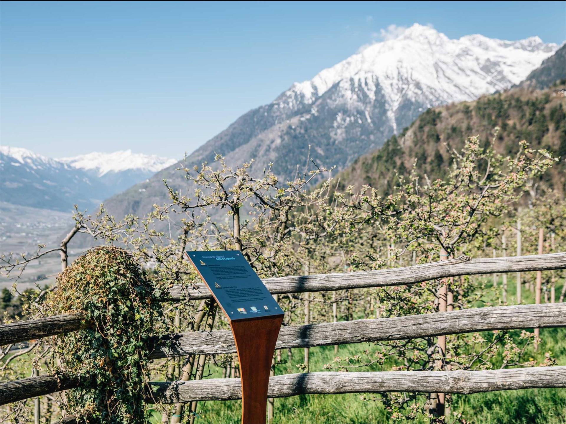
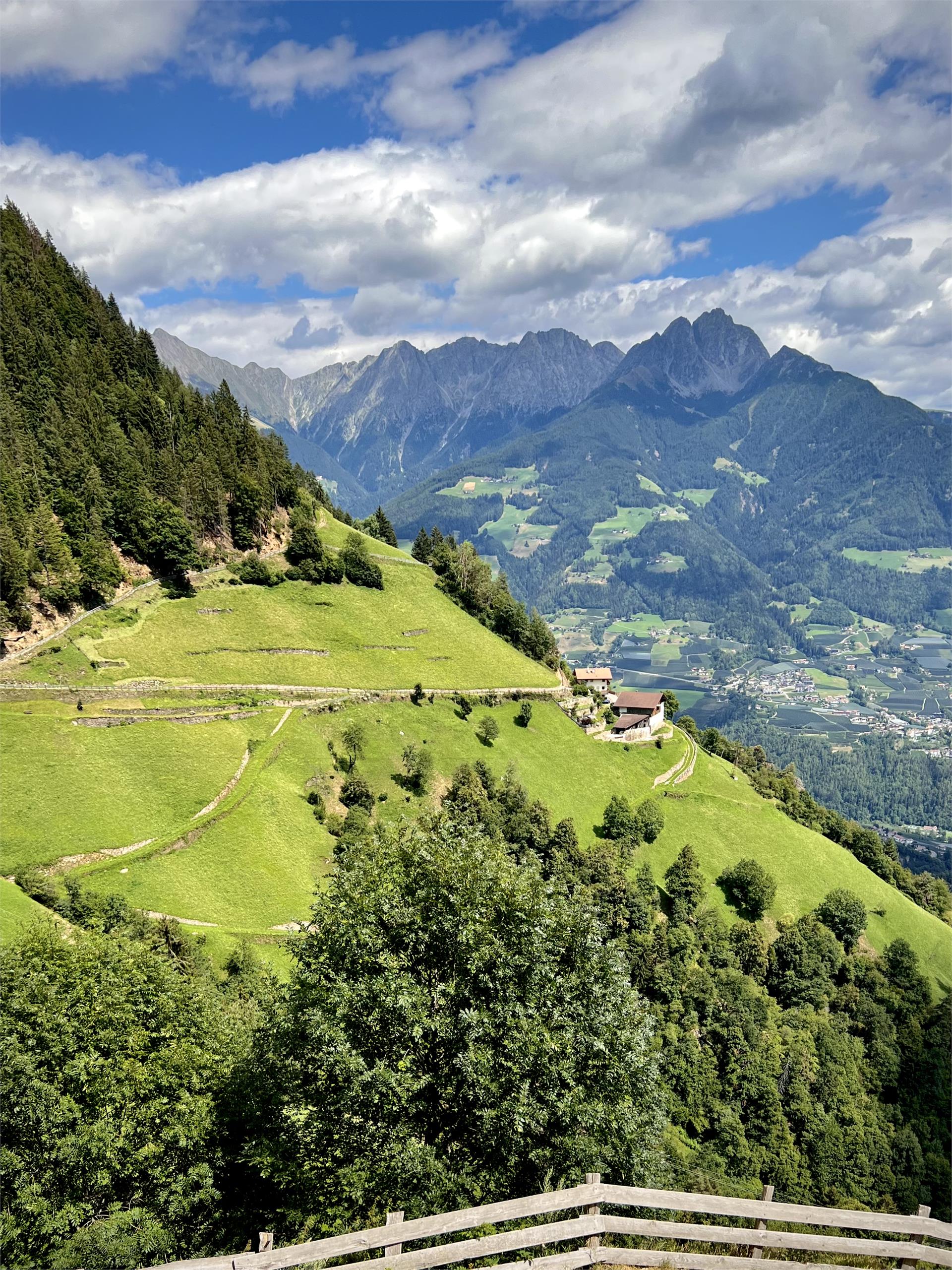
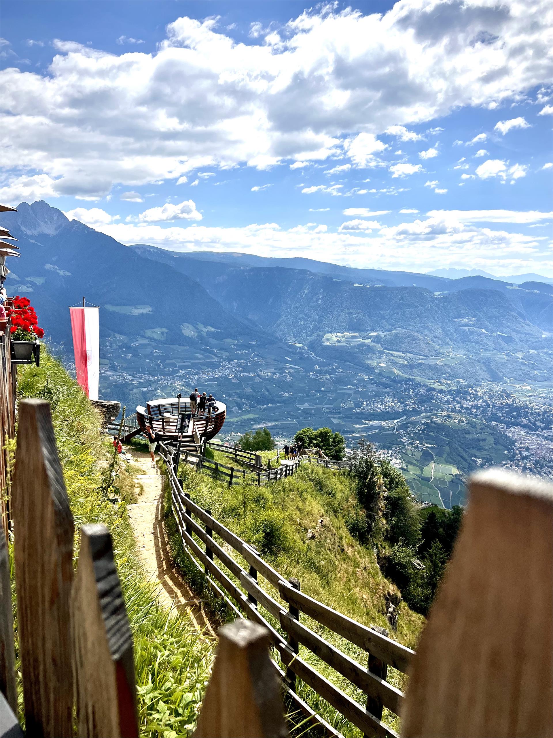
Lagundo is situated at the southern side – also called the sunny side. The route leads you along the southern slopes of the Texel Group. Enjoy breath-taking panoramic views of an impressive cultural landscape, particularly the Vinschgau region, as well as the Burgrave’s office and the Passeier Valley. In general, the southern part is recommended for trips from May to November. Some parts of the route are walkable all year round – depending on the weather conditions.
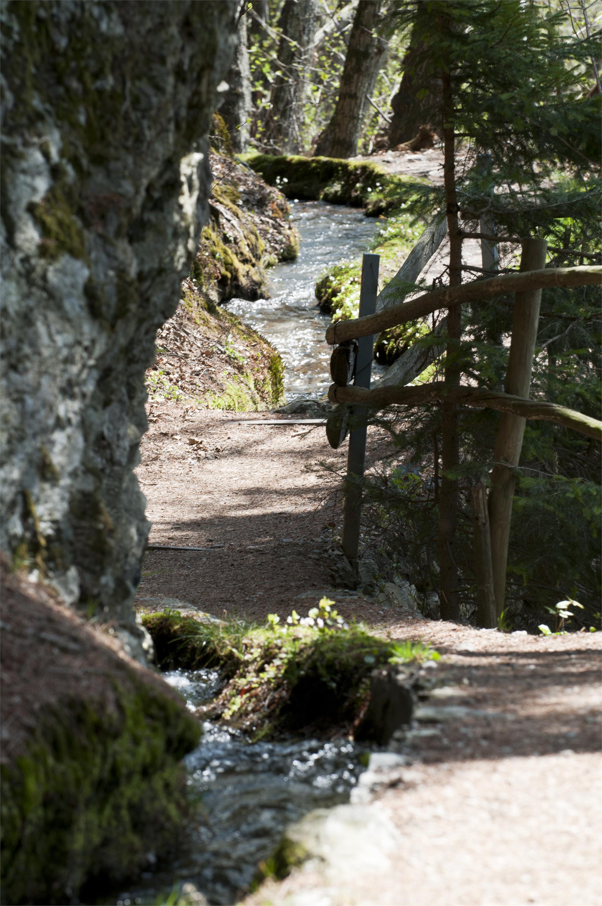
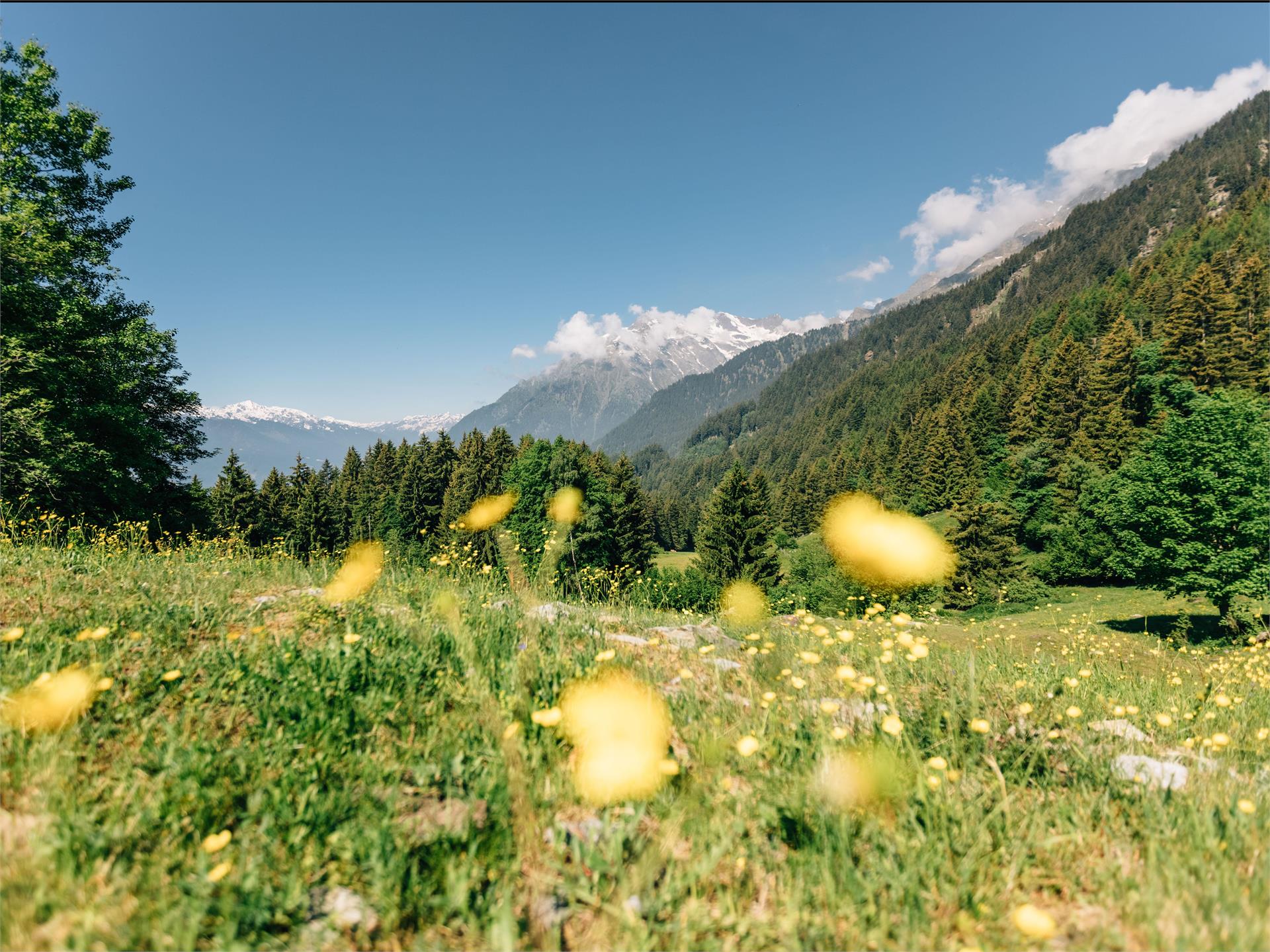
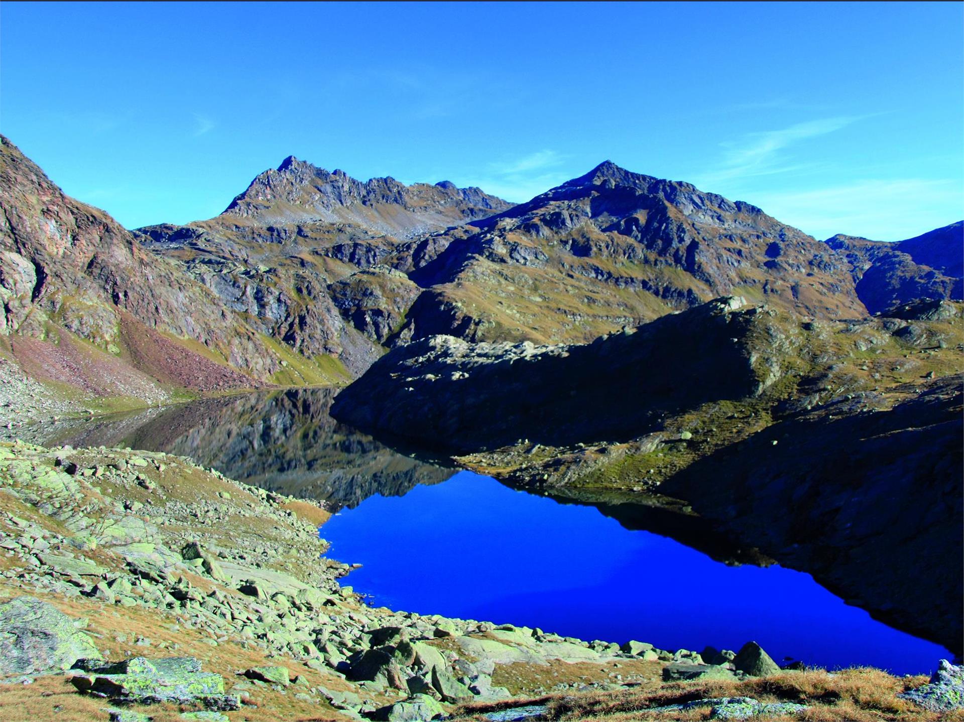
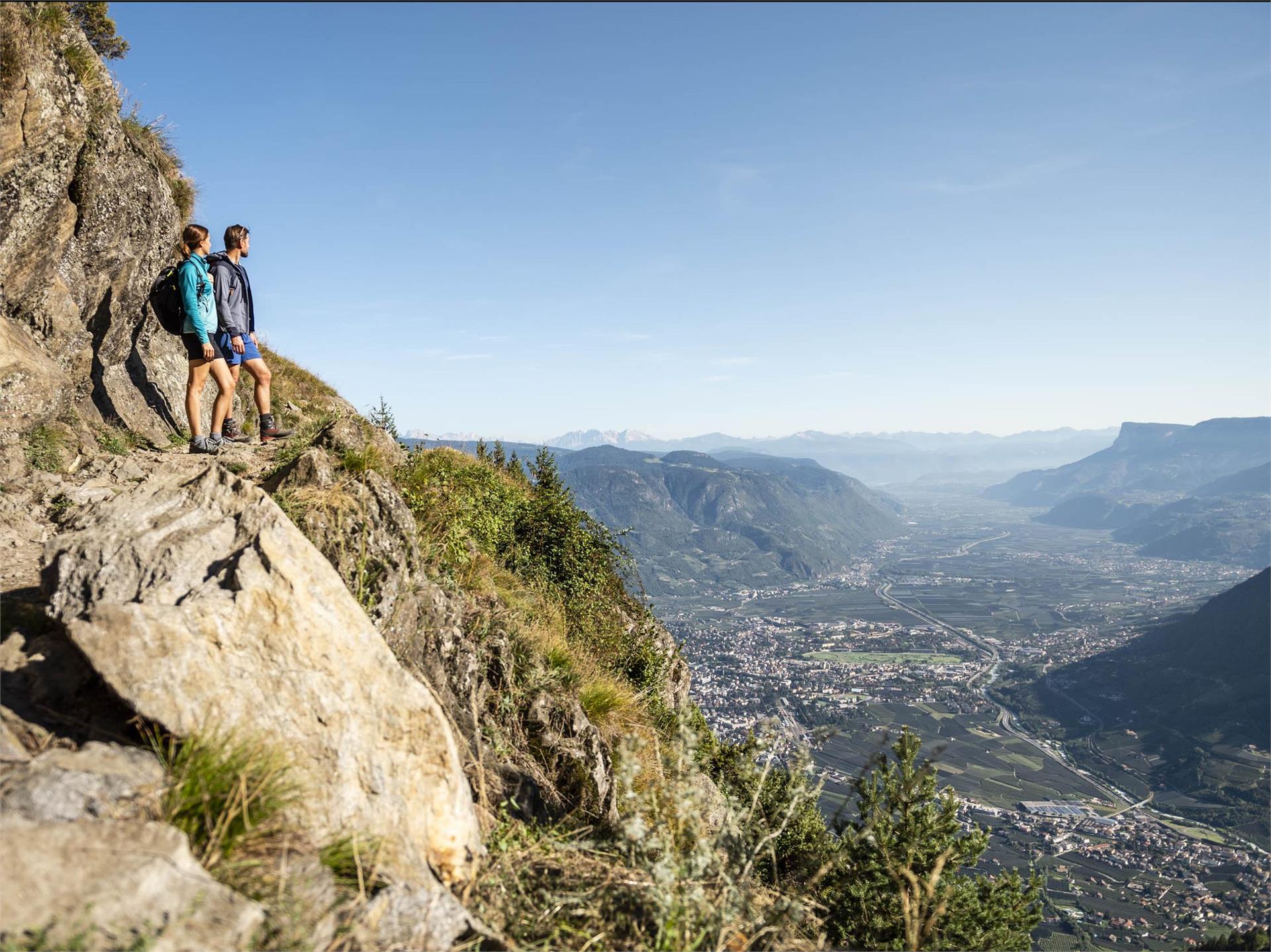
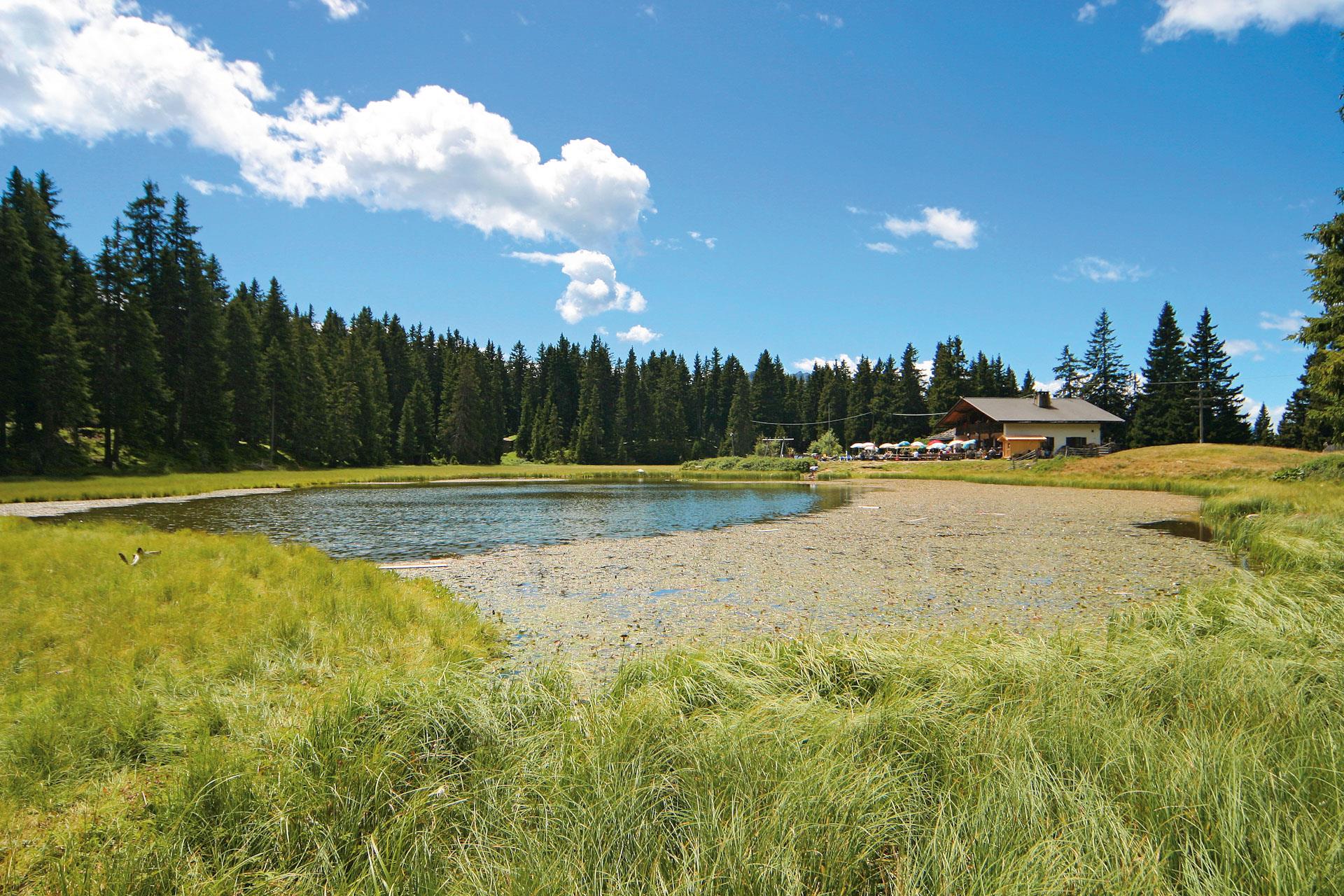
There are many places of natural beauty along the High Mountain Road waiting to be discovered and definitely worth seeing. Enjoy the breath-taking views of the impressive Tschigat peak (2,998 metres), the Mutspitze (2,294 metres), as well as the Matatzspitze (2,179 metres). Another highlight is the Partschins waterfalls, which roars down from a height of 97 metres and is therefore one of the highest South Tyrolean waterfalls. In addition, there are the Spronser Lakes, the highest located Alpine lake area in South Tyrol with 10 lakes at an altitude of 2,117 metres to 2,589 metres.
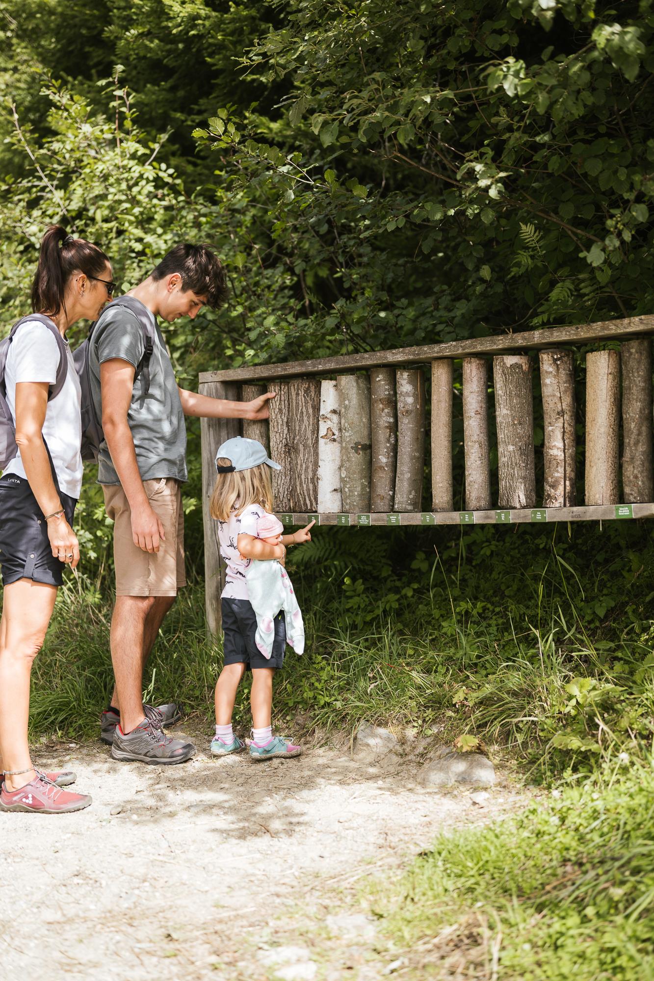
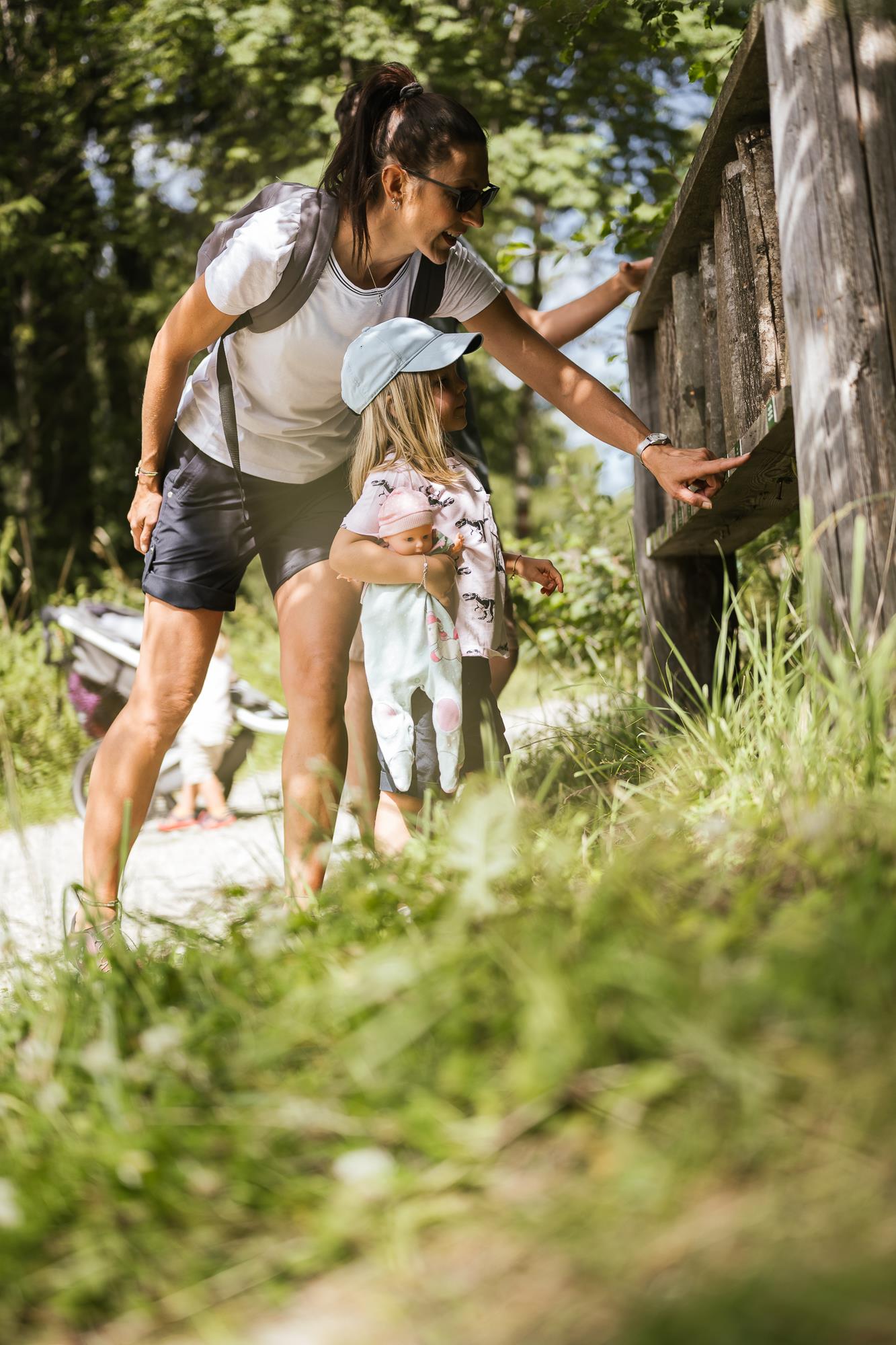
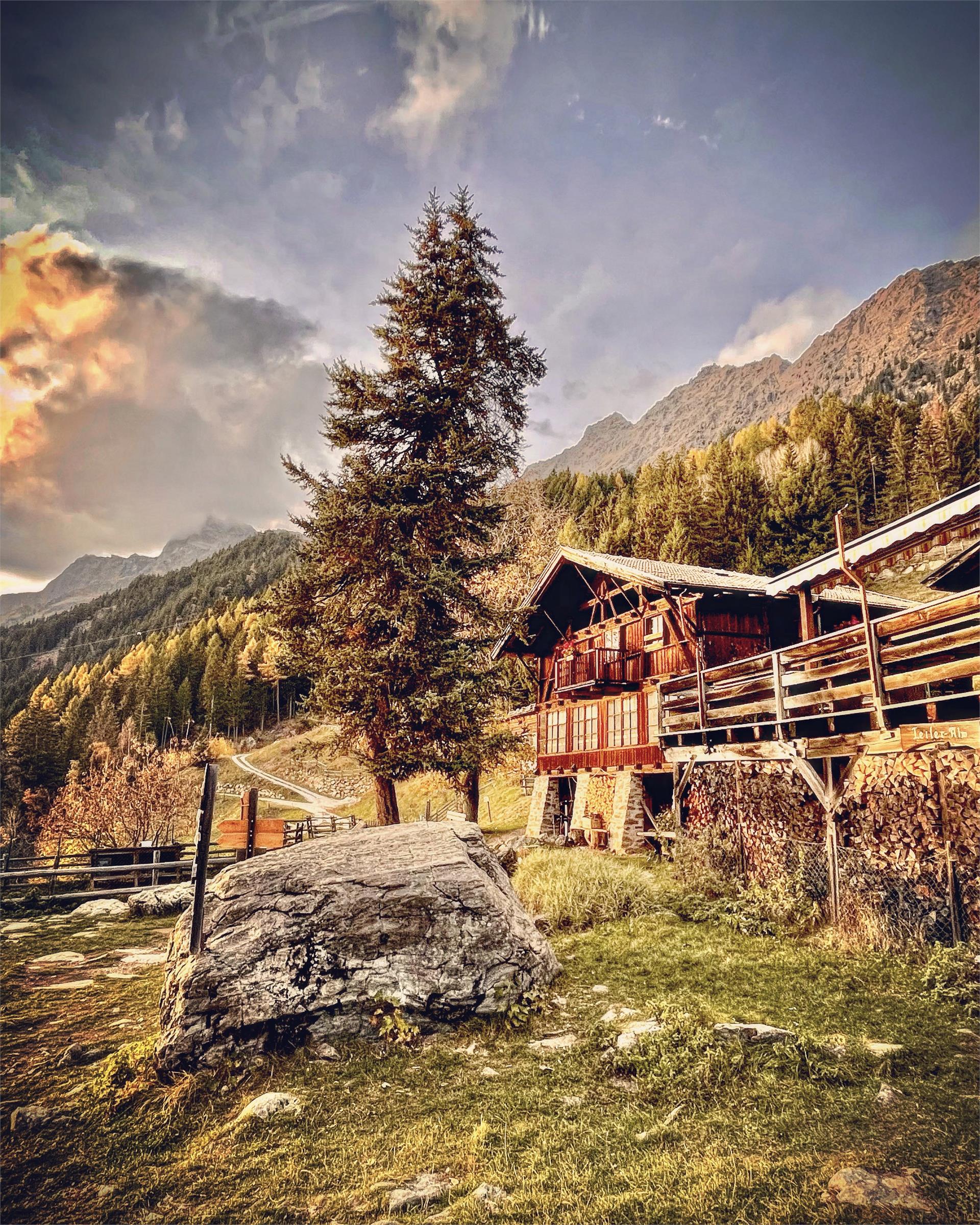
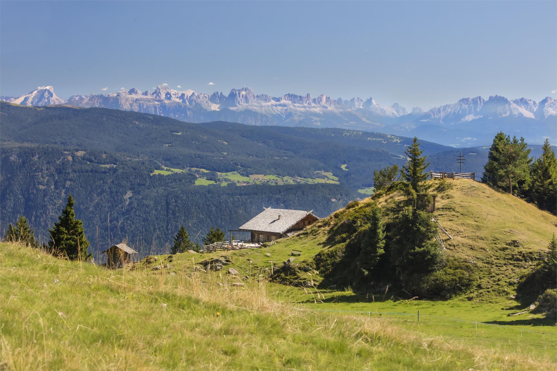
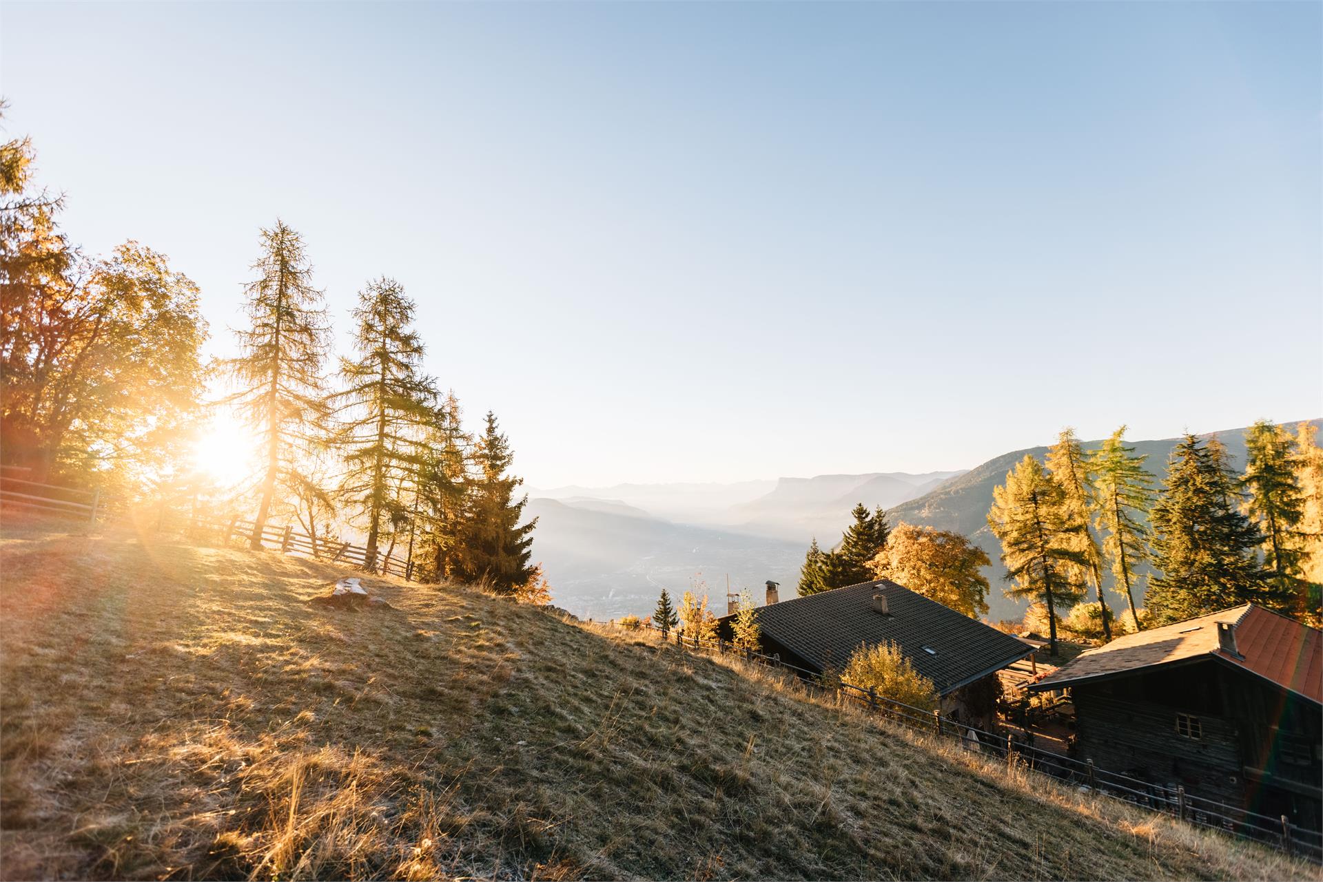
While walking, you will keep coming across mountain farmhouses, which are several hundred years old and have marked the Alpine landscape enormously. In the old days, farmhouses were built on higher ground due to insufficient space in the valley regions. You can imagine that cultivation at such an altitude was quite difficult – and still is today.
The Northern part of the High Mountain Road has a high-Alpine characteristic. It leads through the Pfossen and Pfelder Valleys. The Eisjöchl at an altitude of 2,895 metres is the highest point and divides the valleys from each other. Due to its high-Alpine character, the Northern part can only be accessed through the summer months, from June to September.