
1/4
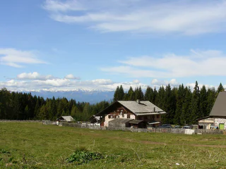
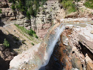
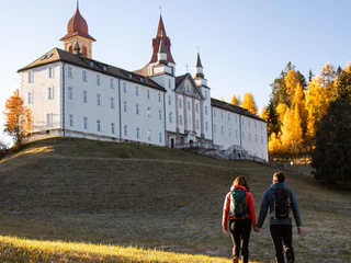
Schwarz Weiss Long-Distance Hiking Trail in Südtirols Süden - Direction Weißhorn
Radein/Redagno, Aldein/Aldino
difficult
Poziom trudności
3700 m
Wzlot
23h:04 min
czas trwania
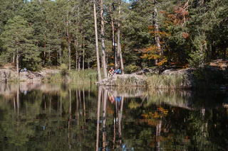
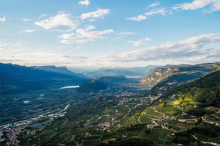
Południowy Tyrol, otoczony zapierającą dech w piersiach przyrodą, oferuje liczne szlaki wędrówkowe prowadzące przez gęste lasy, kwitnące łąki i malownicze winnice. Niezależnie od tego, czy szukasz spokojnych spacerów, czy wymagających tras, tutaj znajdziesz idealną drogę na swoją wędrówkę.
1/4
Radein/Redagno, Aldein/Aldino
difficult
Poziom trudności
3700 m
Wzlot
23h:04 min
czas trwania
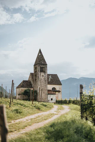
1/3
Mazzon/Mazon, Neumarkt/Egna, Alto Adige Wine Road
difficult
Poziom trudności
1408 m
Wzlot
7h:00 min
czas trwania
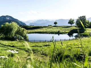
1/3
Redagno/Radein, Aldein/Aldino
easy
Poziom trudności
157 m
Wzlot
1h:30 min
czas trwania
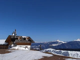
1/7
Redagno/Radein, Aldein/Aldino
medium
Poziom trudności
364 m
Wzlot
2h:15 min
czas trwania

1/2
Salorno/Salurn, Alto Adige Wine Road
easy
Poziom trudności
115 m
Wzlot
0h:30 min
czas trwania

Cortina s.s.d.V./Kurtinig, Salorno/Salurn, Alto Adige Wine Road
medium
Poziom trudności
382 m
Wzlot
2h:43 min
czas trwania
1/2
Radein/Redagno, Aldein/Aldino
difficult
Poziom trudności
3699 m
Wzlot
23h:04 min
czas trwania
1/5
Aldino/Aldein, Aldein/Aldino
medium
Poziom trudności
18 m
Wzlot
1h:46 min
czas trwania
1/4
Mazon/Mazzon, Neumarkt/Egna, Alto Adige Wine Road
medium
Poziom trudności
763 m
Wzlot
3h:42 min
czas trwania
1/7
Laghetti/Laag, Neumarkt/Egna, Alto Adige Wine Road
medium
Poziom trudności
661 m
Wzlot
4h:40 min
czas trwania
1/3
Trodena/Truden, Truden/Trodena
easy
Poziom trudności
0 m
Wzlot
1h:00 min
czas trwania
1/5
Pietralba/Weissenstein, Aldein/Aldino
easy
Poziom trudności
630 m
Wzlot
2h:49 min
czas trwania
1/4
Redagno/Radein, Aldein/Aldino
medium
Poziom trudności
355 m
Wzlot
1h:38 min
czas trwania
Laghetti/Laag, Montan/Montagna, Alto Adige Wine Road
medium
Poziom trudności
376 m
Wzlot
3h:28 min
czas trwania
1/5
Redagno/Radein, Aldein/Aldino
medium
Poziom trudności
404 m
Wzlot
3h:34 min
czas trwania

1/6
Rungg/Ronchi - Tramin/Termeno, Kurtatsch an der Weinstraße/Cortaccia sulla Strada del Vino, Alto Adige Wine Road
easy
Poziom trudności
21 m
Wzlot
1h:00 min
czas trwania
Altrei/Anterivo
medium
Poziom trudności
429 m
Wzlot
2h:55 min
czas trwania
1/11
Anterivo/Altrei, Altrei/Anterivo
medium
Poziom trudności
367 m
Wzlot
3h:25 min
czas trwania
1/3
Redagno/Radein, Aldein/Aldino
difficult
Poziom trudności
590 m
Wzlot
4h:00 min
czas trwania
1/6
Mazzon/Mazon, Neumarkt/Egna, Alto Adige Wine Road
easy
Poziom trudności
228 m
Wzlot
1h:33 min
czas trwania
1/5
San Lugano/San Lugano, Truden/Trodena
medium
Poziom trudności
360 m
Wzlot
2h:23 min
czas trwania
Aldino/Aldein, Aldein/Aldino
easy
Poziom trudności
391 m
Wzlot
3h:23 min
czas trwania

1/4
Ora/Auer, Auer/Ora, Alto Adige Wine Road
medium
Poziom trudności
607 m
Wzlot
4h:49 min
czas trwania
1/3
Anterivo/Altrei, Altrei/Anterivo
medium
Poziom trudności
501 m
Wzlot
3h:19 min
czas trwania
Fontanefredde/Kaltenbrunn, Altrei/Anterivo
medium
Poziom trudności
372 m
Wzlot
2h:51 min
czas trwania
Pinzano/Pinzon, Aldein/Aldino
medium
Poziom trudności
980 m
Wzlot
3h:51 min
czas trwania
Magrè s.S.d.V./Margreid a.d.W., Kurtatsch an der Weinstraße/Cortaccia sulla Strada del Vino, Alto Adige Wine Road
medium
Poziom trudności
1058 m
Wzlot
3h:38 min
czas trwania
Pochi/Buchholz, Salorno/Salurn, Alto Adige Wine Road
medium
Poziom trudności
933 m
Wzlot
3h:04 min
czas trwania
Kurtatsch/Cortaccia s.S.d.V., Kurtatsch an der Weinstraße/Cortaccia sulla Strada del Vino, Alto Adige Wine Road
easy
Poziom trudności
101 m
Wzlot
0h:46 min
czas trwania
1/2
Redagno/Radein, Aldein/Aldino
difficult
Poziom trudności
591 m
Wzlot
5h:00 min
czas trwania
Dziękujemy za zapisanie się!
Subskrypcja jest już aktywna
Potwierdź rejestrację
Aby zakończyć rejestrację, otwórz e-mail, który właśnie wysłaliśmy, i kliknij link potwierdzający.
Nie widzisz wiadomości? Sprawdź folder spam.
Zauważyliśmy, że próbowałeś(-aś) zapisać się do newslettera, ale Twój adres e-mail jest już zarejestrowany. Nadal będziesz otrzymywać nasze oferty, wskazówki i inspiracje na Twój urlop.
Już próbowałeś zapisać się do naszego newslettera, ale nie potwierdziłeś rejestracji. Właśnie wysłaliśmy ci ponownie e‑mail. Sprawdź swoją skrzynkę odbiorczą i folder ze spamem i potwierdź teraz.


