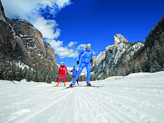
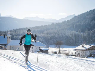
1/3
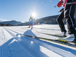
Red cross-country ski run
Selva/Sëlva/Wolkenstein/Sëlva, Sëlva/Selva di Val Gardena, Dolomites Region Val Gardena
medium
Poziom trudności
134 m
Wzlot
0h:00 min
czas trwania
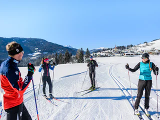
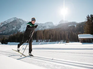
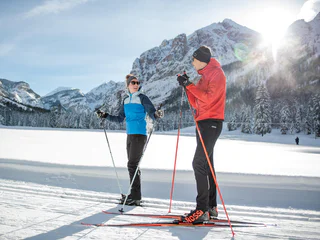
1/3
Selva/Sëlva/Wolkenstein/Sëlva, Sëlva/Selva di Val Gardena, Dolomites Region Val Gardena
medium
Poziom trudności
134 m
Wzlot
0h:00 min
czas trwania
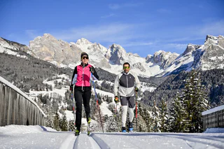
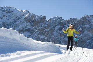
1/4
Tesido/Taisten, Welsberg-Taisten/Monguelfo-Tesido
easy
Poziom trudności
23 m
Wzlot
0h:00 min
czas trwania

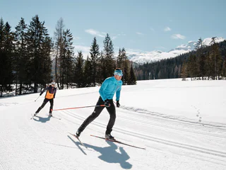
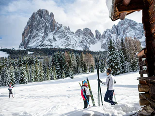
Braies di Fuori/Ausserprags, Toblach/Dobbiaco, Dolomites Region 3 Zinnen
difficult
Poziom trudności
61 m
Wzlot
0h:00 min
czas trwania
Dobbiaco Vecchia/Alttoblach, Toblach/Dobbiaco, Dolomites Region 3 Zinnen
medium
Poziom trudności
398 m
Wzlot
0h:00 min
czas trwania
Villabassa/Niederdorf, Niederdorf/Villabassa, Dolomites Region 3 Zinnen
easy
Poziom trudności
9 m
Wzlot
0h:00 min
czas trwania
Alpe di Siusi/Seiseralm, Kastelruth/Castelrotto, Dolomites Region Seiser Alm
easy
Poziom trudności
154 m
Wzlot
0h:00 min
czas trwania
1/15
S.Cristina Gherdëina/S.Cristina Val Gardena/S.Cristina Gherdëina/St.Christina in Gröden, S.Crestina Gherdëina/Santa Cristina Val Gardana, Dolomites Region Val Gardena
difficult
Poziom trudności
254 m
Wzlot
0h:00 min
czas trwania
1/4
San Cassiano/San Cassiano, Badia, Dolomites Region Alta Badia
medium
Poziom trudności
42 m
Wzlot
0h:00 min
czas trwania
1/16
Tesido/Taisten, Welsberg-Taisten/Monguelfo-Tesido
easy
Poziom trudności
648 m
Wzlot
0h:00 min
czas trwania
S. Candido/Innichen, Toblach/Dobbiaco, Dolomites Region 3 Zinnen
easy
Poziom trudności
49 m
Wzlot
0h:00 min
czas trwania
1/2
San Cassiano/San Cassiano, Badia, Dolomites Region Alta Badia
difficult
Poziom trudności
83 m
Wzlot
0h:00 min
czas trwania
1/2
Antermoia/Untermoj, San Martin /San Martino, Dolomites Region Kronplatz/Plan de Corones
easy
Poziom trudności
146 m
Wzlot
0h:00 min
czas trwania
Selva die Molini/Mühlwald, Mühlwald/Selva dei Molini, Ahrntal/Valle Aurina
medium
Poziom trudności
180 m
Wzlot
0h:00 min
czas trwania
Braies di Fuori/Ausserprags, Prags/Braies, Dolomites Region 3 Zinnen
difficult
Poziom trudności
263 m
Wzlot
0h:00 min
czas trwania
1/12
S.Cristina Gherdëina/S.Cristina Val Gardena/S.Cristina Gherdëina/St.Christina in Gröden, S.Crestina Gherdëina/Santa Cristina Val Gardana, Dolomites Region Val Gardena
easy
Poziom trudności
195 m
Wzlot
0h:00 min
czas trwania
Gandelle-Franadega-Fienili/Kandellen-Frondeigen-Stadlern, Toblach/Dobbiaco, Dolomites Region 3 Zinnen
medium
Poziom trudności
31 m
Wzlot
0h:00 min
czas trwania
Sesto/Sexten, Sexten/Sesto, Dolomites Region 3 Zinnen
easy
Poziom trudności
10 m
Wzlot
0h:00 min
czas trwania

1/5
San Cassiano/San Cassiano, Badia, Dolomites Region Alta Badia
easy
Poziom trudności
29 m
Wzlot
0h:00 min
czas trwania
Corvara/Corvara, Corvara, Dolomites Region Alta Badia
easy
Poziom trudności
79 m
Wzlot
0h:00 min
czas trwania
Gandelle-Franadega-Fienili/Kandellen-Frondeigen-Stadlern, Toblach/Dobbiaco, Dolomites Region 3 Zinnen
medium
Poziom trudności
5 m
Wzlot
0h:00 min
czas trwania
Gandelle-Franadega-Fienili/Kandellen-Frondeigen-Stadlern, Toblach/Dobbiaco, Dolomites Region 3 Zinnen
medium
Poziom trudności
1 m
Wzlot
0h:00 min
czas trwania
Gandelle-Franadega-Fienili/Kandellen-Frondeigen-Stadlern, Toblach/Dobbiaco, Dolomites Region 3 Zinnen
difficult
Poziom trudności
112 m
Wzlot
0h:00 min
czas trwania
Selva/Sëlva/Wolkenstein/Sëlva, Sëlva/Selva di Val Gardena, Dolomites Region Val Gardena
1/7
Monguelfo/Welsberg, Prags/Braies, Dolomites Region 3 Zinnen
easy
Poziom trudności
69 m
Wzlot
0h:00 min
czas trwania
Gandelle-Franadega-Fienili/Kandellen-Frondeigen-Stadlern, Toblach/Dobbiaco, Dolomites Region 3 Zinnen
difficult
Poziom trudności
147 m
Wzlot
0h:00 min
czas trwania
Gandelle-Franadega-Fienili/Kandellen-Frondeigen-Stadlern, Toblach/Dobbiaco, Dolomites Region 3 Zinnen
difficult
Poziom trudności
95 m
Wzlot
0h:00 min
czas trwania
Gandelle-Franadega-Fienili/Kandellen-Frondeigen-Stadlern, Toblach/Dobbiaco, Dolomites Region 3 Zinnen
easy
Poziom trudności
10 m
Wzlot
0h:00 min
czas trwania
Alpe di Siusi/Seiseralm, Kastelruth/Castelrotto, Dolomites Region Seiser Alm
medium
Poziom trudności
57 m
Wzlot
0h:00 min
czas trwania
1/2
San Vigilio, Al Plan/San Vigilio, Dolomites Region Kronplatz/Plan de Corones
easy
Poziom trudności
343 m
Wzlot
0h:00 min
czas trwania
San Cassiano/San Cassiano, Badia, Dolomites Region Alta Badia
easy
Poziom trudności
52 m
Wzlot
0h:00 min
czas trwania
Dziękujemy za zapisanie się!
Rejestracja już aktywna
Potwierdź rejestrację
Aby zakończyć rejestrację, otwórz e-mail, który właśnie wysłaliśmy, i kliknij link potwierdzający.
Nie widzisz wiadomości? Sprawdź folder spam.
Otrzymujesz już nasze wyjątkowe oferty, przydatne wskazówki i specjalne propozycje, aby w pełni cieszyć się wakacjami.
Już próbowałeś zapisać się do naszego newslettera, ale nie potwierdziłeś rejestracji. Właśnie wysłaliśmy ci ponownie e‑mail. Sprawdź swoją skrzynkę odbiorczą i folder ze spamem i potwierdź teraz.


