1/2
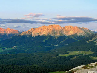
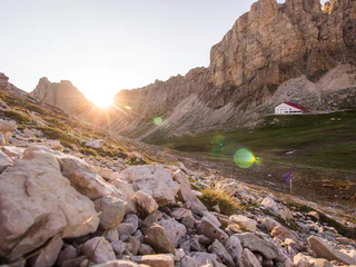
Dolomites World Heritage Geotrail II - stage 2: from the Lavazèjoch Pass to the Karer Pass
Carezza/Karersee
medium
Poziom trudności
708 m
Wzlot
6h:49 min
czas trwania
1/2
Carezza/Karersee
medium
Poziom trudności
708 m
Wzlot
6h:49 min
czas trwania
1/2
San Vigilio, Badia, Dolomites Region Alta Badia
medium
Poziom trudności
707 m
Wzlot
5h:01 min
czas trwania
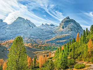
1/3
Carezza/Karersee, Tiers am Rosengarten/Tires al Catinaccio, Dolomites Region Seiser Alm
difficult
Poziom trudności
1792 m
Wzlot
6h:25 min
czas trwania
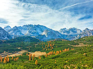
1/3
Redagno/Radein, Aldein/Aldino
medium
Poziom trudności
1101 m
Wzlot
4h:37 min
czas trwania
1/5
Alpe di Siusi/Seiseralm, Urtijëi/Ortisei, Dolomites Region Val Gardena
medium
Poziom trudności
426 m
Wzlot
5h:30 min
czas trwania

Ortisei/Urtijëi/St. Ulrich/Urtijëi, Urtijëi/Ortisei, Dolomites Region Val Gardena
difficult
Poziom trudności
2327 m
Wzlot
8h:43 min
czas trwania
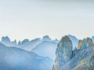
1/3
S. Vito/St. Veit - Braies/Prags, Prags/Braies, Dolomites Region 3 Zinnen
medium
Poziom trudności
1387 m
Wzlot
6h:04 min
czas trwania
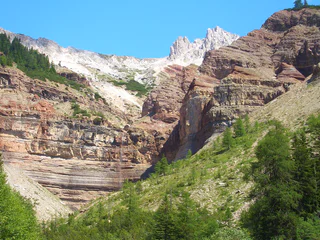
1/2
San Cassiano/San Cassiano, Badia, Dolomites Region Alta Badia
difficult
Poziom trudności
788 m
Wzlot
6h:16 min
czas trwania
Sesto/Sexten, Sexten/Sesto, Dolomites Region 3 Zinnen
difficult
Poziom trudności
251 m
Wzlot
4h:55 min
czas trwania
1/2
San Vigilio, Prags/Braies, Dolomites Region 3 Zinnen
medium
Poziom trudności
1305 m
Wzlot
6h:22 min
czas trwania
Dziękujemy za zapisanie się!
Rejestracja już aktywna
Potwierdź rejestrację
Aby zakończyć rejestrację, otwórz e-mail, który właśnie wysłaliśmy, i kliknij link potwierdzający.
Nie widzisz wiadomości? Sprawdź folder spam.
Otrzymujesz już nasze wyjątkowe oferty, przydatne wskazówki i specjalne propozycje, aby w pełni cieszyć się wakacjami.
Już próbowałeś zapisać się do naszego newslettera, ale nie potwierdziłeś rejestracji. Właśnie wysłaliśmy ci ponownie e‑mail. Sprawdź swoją skrzynkę odbiorczą i folder ze spamem i potwierdź teraz.


