1/2
Dolomites UNESCO Geotrail - Stage 8: from Pederü to Plätzwiese
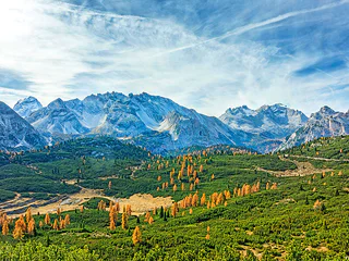
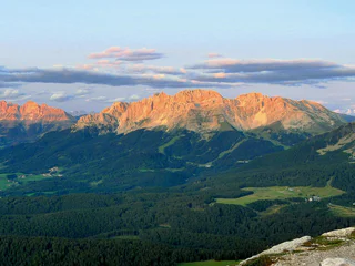
San Vigilio, Prags/Braies, Dolomites Region 3 Zinnen
medium
Difficulty
1305 m
Elevation gain
6h:22 min
duration
1/2
San Vigilio, Prags/Braies, Dolomites Region 3 Zinnen
medium
Difficulty
1305 m
Elevation gain
6h:22 min
duration

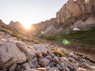
Sesto/Sexten, Sexten/Sesto, Dolomites Region 3 Zinnen
difficult
Difficulty
251 m
Elevation gain
4h:55 min
duration
1/5
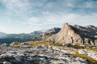
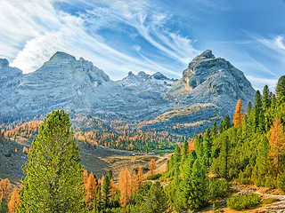
Alpe di Siusi/Seiseralm, Urtijëi/Ortisei, Dolomites Region Val Gardena
medium
Difficulty
426 m
Elevation gain
5h:30 min
duration
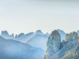
Ortisei/Urtijëi/St. Ulrich/Urtijëi, Urtijëi/Ortisei, Dolomites Region Val Gardena
difficult
Difficulty
2327 m
Elevation gain
8h:43 min
duration
1/2
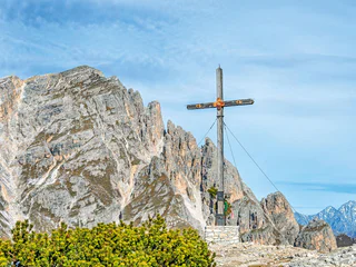
San Cassiano/San Cassiano, Badia, Dolomites Region Alta Badia
difficult
Difficulty
788 m
Elevation gain
6h:16 min
duration
1/3
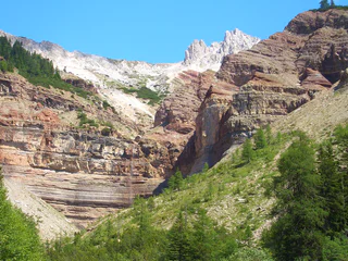
Carezza/Karersee, Tiers am Rosengarten/Tires al Catinaccio, Dolomites Region Seiser Alm
difficult
Difficulty
1792 m
Elevation gain
6h:25 min
duration
1/2
Carezza/Karersee
medium
Difficulty
708 m
Elevation gain
6h:49 min
duration
1/2
San Vigilio, Badia, Dolomites Region Alta Badia
medium
Difficulty
707 m
Elevation gain
5h:01 min
duration
1/3
S. Vito/St. Veit - Braies/Prags, Prags/Braies, Dolomites Region 3 Zinnen
medium
Difficulty
1387 m
Elevation gain
6h:04 min
duration
1/3
Redagno/Radein, Aldein/Aldino
medium
Difficulty
1101 m
Elevation gain
4h:37 min
duration
Thank you for signing up!
You are already subscribed
Confirm your registration
To complete your subscription, open the email we just sent you and click on the confirmation link.
Can’t find it? Check your spam folder too.
We noticed that you are already subscribed to our Newsletter. We will update you on exclusive offers, fun adventures and more so you can make the best out of your vacation.
We noticed that you already tried to subscribe to our Newsletter in the past but didn’t confirmed the subscription. We have resent you an email now, please check your inbox and spam folder to confirm.


