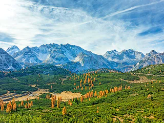
1/2
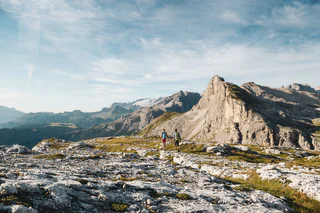
Dolomites UNESCO Geotrail - Stage 8: from Pederü to Plätzwiese
San Vigilio, Prags/Braies, Dolomites Region 3 Zinnen
medium
Obtížnost
1305 m
Převýšení
6h:22 min
doba trvání
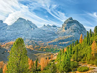
1/2
San Vigilio, Prags/Braies, Dolomites Region 3 Zinnen
medium
Obtížnost
1305 m
Převýšení
6h:22 min
doba trvání
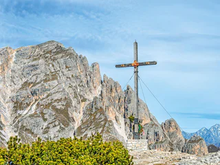
1/3
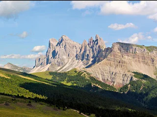
S. Vito/St. Veit - Braies/Prags, Prags/Braies, Dolomites Region 3 Zinnen
medium
Obtížnost
1387 m
Převýšení
6h:04 min
doba trvání
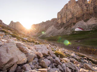
1/2
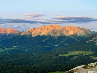
San Vigilio, Badia, Dolomites Region Alta Badia
medium
Obtížnost
707 m
Převýšení
5h:01 min
doba trvání
1/5
Alpe di Siusi/Seiseralm, Urtijëi/Ortisei, Dolomites Region Val Gardena
medium
Obtížnost
426 m
Převýšení
5h:30 min
doba trvání

1/3
Carezza/Karersee, Tiers am Rosengarten/Tires al Catinaccio, Dolomites Region Seiser Alm
difficult
Obtížnost
1792 m
Převýšení
6h:25 min
doba trvání
1/2
Carezza/Karersee
medium
Obtížnost
708 m
Převýšení
6h:49 min
doba trvání
1/3
Redagno/Radein, Aldein/Aldino
medium
Obtížnost
1101 m
Převýšení
4h:37 min
doba trvání
1/11
Ortisei/Urtijëi/St. Ulrich/Urtijëi, Urtijëi/Ortisei, Dolomites Region Val Gardena
difficult
Obtížnost
2327 m
Převýšení
8h:43 min
doba trvání

Sesto/Sexten, Sexten/Sesto, Dolomites Region 3 Zinnen
difficult
Obtížnost
251 m
Převýšení
4h:55 min
doba trvání
1/2
San Cassiano/San Cassiano, Badia, Dolomites Region Alta Badia
difficult
Obtížnost
788 m
Převýšení
6h:16 min
doba trvání


