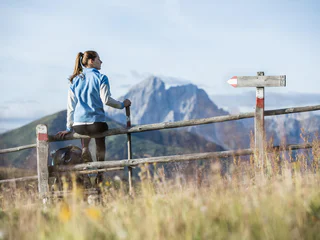
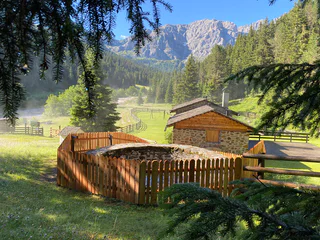
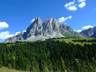

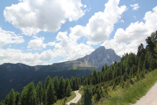
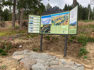
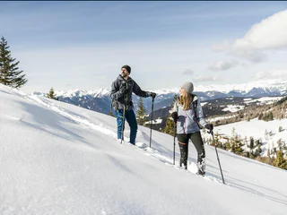
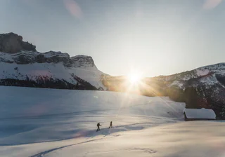
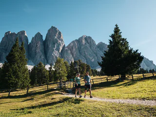
Von Bauern bearbeitetes Kulturland, blühende Almwiesen und stolze Gipfel bilden die Kulisse dieser 33 Wandertipps im Eisacktal . Diese von den jeweiligen Ferienorten ausgewählten Rundwege führen durch mediterrane Landstriche und alpine Regionen. Start und Endpunkt befinden sich an derselben Stelle, Wegverlauf und Gehzeit variieren. Entlang des Weges laden Kunst- und Naturdenkmäler, kulturelle Sehenswürdigkeiten, Aussichtsplätze und urige Hütten zum Innehalten.

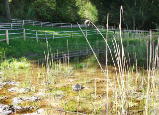
To the waterfall of Flitz
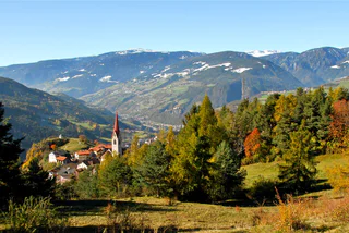
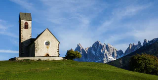
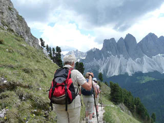
S. Pietro/St. Peter - Funes/Villnöss, Villnöss/Funes, Dolomites Region Lüsen Villnöss
medium
Obtížnost
358 m
Převýšení
2h:08 min
doba trvání


