
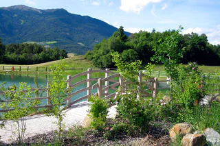
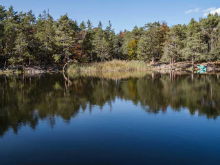
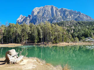
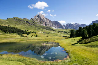
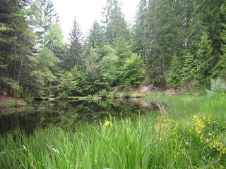
Lake Mezzo
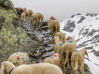
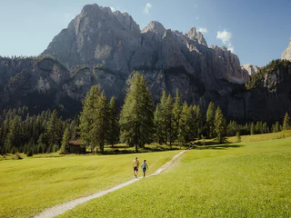
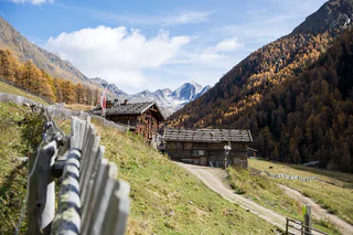
Auna di Sotto/Unterinn, Ritten/Renon, Bolzano/Bozen and environs
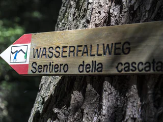
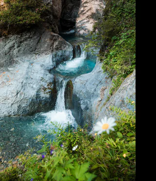
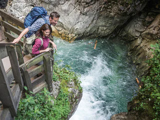
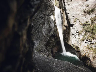
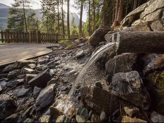
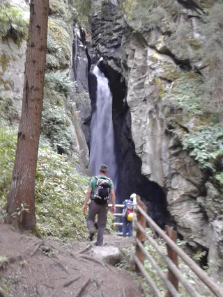
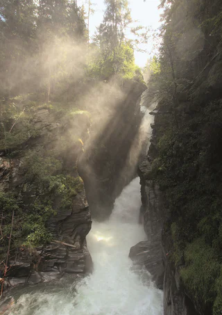
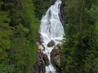
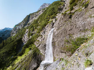
Alpské scenérie odrážející se ve vodní hladině průzračných horských jezer. Spěchající vodopády, u kterých se ve vzduchu třpytí jemné kapky, obklopené lesem a skalami: objevujte stezky, cesty a trasy v blízkosti vodopádů a jezer nebo si udělejte pohodlí na břehu.
Auna di Sotto/Unterinn, Ritten/Renon, Bolzano/Bozen and environs
1/2
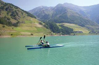
Tiso/Teis, Villnöss/Funes, Dolomites Region Lüsen Villnöss
Santa Valburga/St. Walburg, Ulten/Ultimo, Meran/Merano and environs
Anterivo/Altrei
1/5
Vernago/Vernagt, Schnals/Senales, Vinschgau/Val Venosta
1/3
Vernago/Vernagt, Schnals/Senales, Vinschgau/Val Venosta
S.Martino/Reinswald, Villanders/Villandro, Brixen/Bressanone and environs
1/3
Giovignano/Tschiffnon, Feldthurns/Velturno, Brixen/Bressanone and environs

1/3
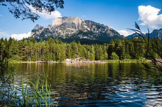
Carezza/Karersee, Welschnofen/Nova Levante, Dolomites Region Eggental
Prati/Wiesen, Pfitsch/Val di Vizze, Sterzing/Vipiteno and environs
1/2
Colfosco/Colfosco, Corvara, Dolomites Region Alta Badia
1/3
Aldino/Aldein, Aldein/Aldino

1/3
Falzeben/Falzeben, Hafling/Avelengo, Meran/Merano and environs
Santa Gertrude/St. Gertraud, Ulten/Ultimo, Meran/Merano and environs
1/5
Fiè/Völs, Völs am Schlern/Fiè allo Sciliar, Dolomites Region Seiser Alm
1/3
Trafoi/Trafoi, Stilfs/Stelvio, Vinschgau/Val Venosta
1/5
Stanghe/Stange, Ratschings/Racines, Sterzing/Vipiteno and environs
1/3
Lutago/Luttach, Ahrntal/Valle Aurina, Ahrntal/Valle Aurina
1/2
Resia/Reschen, Graun im Vinschgau/Curon Venosta, Vinschgau/Val Venosta
1/5
Magrè s.S.d.V./Margreid a.d.W., Margreid an der Weinstraße/Magrè sulla Strada del Vino, Alto Adige Wine Road
1/2
Fiè/Völs, Völs am Schlern/Fiè allo Sciliar, Dolomites Region Seiser Alm
1/3
Monte S. Caterina/Katharinaberg, Schnals/Senales, Vinschgau/Val Venosta
1/2
Terento/Terenten, Terenten/Terento, Brixen/Bressanone and environs
1/3
Valdaora di Sopra/Oberolang, Olang/Valdaora, Dolomites Region Kronplatz/Plan de Corones
1/3
Monte di Tramontana/Nördersberg, Schlanders/Silandro, Vinschgau/Val Venosta
1/6
S.Cristina Gherdëina/S.Cristina Val Gardena/S.Cristina Gherdëina/St.Christina in Gröden, S.Crestina Gherdëina/Santa Cristina Val Gardana, Dolomites Region Val Gardena
1/2
Moso in Passiria/Moos in Passeier, Moos in Passeier/Moso in Passiria, Meran/Merano and environs
1/2
S. Giovanni/St. Johann, Ahrntal/Valle Aurina, Ahrntal/Valle Aurina
1/4
Santa Caterina/St. Kathrein, Hafling/Avelengo, Meran/Merano and environs
1/3
Trafoi/Trafoi, Stilfs/Stelvio, Vinschgau/Val Venosta


