
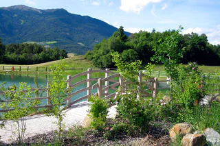
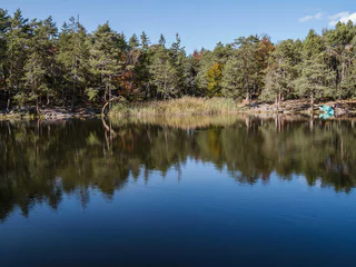
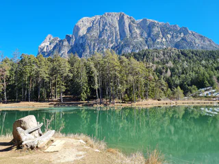
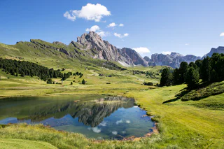
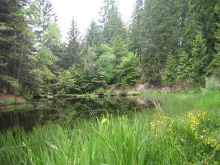
Lake Mezzo
Auna di Sotto/Unterinn, Ritten/Renon, Bolzano/Bozen and environs
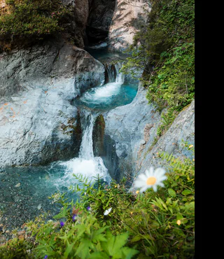
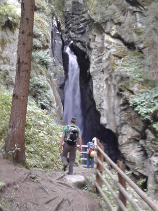
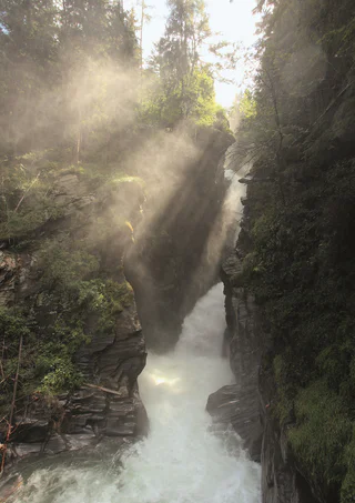
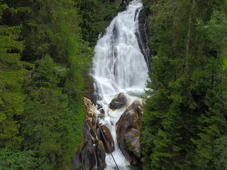
Ontdek de prachtige meren en majestueuze watervallen die perfect zijn voor een rustige ontsnapping of een avontuurlijke dag.
Auna di Sotto/Unterinn, Ritten/Renon, Bolzano/Bozen and environs
1/2
Tiso/Teis, Villnöss/Funes, Dolomites Region Lüsen Villnöss
Santa Valburga/St. Walburg, Ulten/Ultimo, Meran/Merano and environs
Anterivo/Altrei
1/5
Vernago/Vernagt, Schnals/Senales, Vinschgau/Val Venosta
1/3
Vernago/Vernagt, Schnals/Senales, Vinschgau/Val Venosta
S.Martino/Reinswald, Villanders/Villandro, Brixen/Bressanone and environs
1/3
Giovignano/Tschiffnon, Feldthurns/Velturno, Brixen/Bressanone and environs

1/3
Carezza/Karersee, Welschnofen/Nova Levante, Dolomites Region Eggental
Prati/Wiesen, Pfitsch/Val di Vizze, Sterzing/Vipiteno and environs
1/2
Colfosco/Colfosco, Corvara, Dolomites Region Alta Badia
1/3
Aldino/Aldein, Aldein/Aldino

1/3
Falzeben/Falzeben, Hafling/Avelengo, Meran/Merano and environs
Santa Gertrude/St. Gertraud, Ulten/Ultimo, Meran/Merano and environs
1/5
Fiè/Völs, Völs am Schlern/Fiè allo Sciliar, Dolomites Region Seiser Alm
1/3
Trafoi/Trafoi, Stilfs/Stelvio, Vinschgau/Val Venosta
1/5
Stanghe/Stange, Ratschings/Racines, Sterzing/Vipiteno and environs
1/3
Lutago/Luttach, Ahrntal/Valle Aurina, Ahrntal/Valle Aurina
1/2
Resia/Reschen, Graun im Vinschgau/Curon Venosta, Vinschgau/Val Venosta
1/5
Magrè s.S.d.V./Margreid a.d.W., Margreid an der Weinstraße/Magrè sulla Strada del Vino, Alto Adige Wine Road
1/2
Fiè/Völs, Völs am Schlern/Fiè allo Sciliar, Dolomites Region Seiser Alm
1/3
Monte S. Caterina/Katharinaberg, Schnals/Senales, Vinschgau/Val Venosta
1/2
Terento/Terenten, Terenten/Terento, Brixen/Bressanone and environs
1/3
Valdaora di Sopra/Oberolang, Olang/Valdaora, Dolomites Region Kronplatz/Plan de Corones
1/3
Monte di Tramontana/Nördersberg, Schlanders/Silandro, Vinschgau/Val Venosta
1/6
S.Cristina Gherdëina/S.Cristina Val Gardena/S.Cristina Gherdëina/St.Christina in Gröden, S.Crestina Gherdëina/Santa Cristina Val Gardana, Dolomites Region Val Gardena
1/2
Moso in Passiria/Moos in Passeier, Moos in Passeier/Moso in Passiria, Meran/Merano and environs
1/2
S. Giovanni/St. Johann, Ahrntal/Valle Aurina, Ahrntal/Valle Aurina
1/4
Santa Caterina/St. Kathrein, Hafling/Avelengo, Meran/Merano and environs
1/3
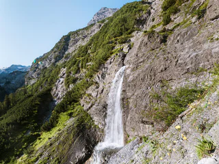
Trafoi/Trafoi, Stilfs/Stelvio, Vinschgau/Val Venosta
Bedankt voor je inschrijving!
Inschrijving al actief
Bevestig je inschrijving
Om je inschrijving te voltooien, open de e-mail die we je net hebben gestuurd en klik op de bevestigingslink.
Niet gevonden? Kijk ook even in je spammap.
We hebben gezien dat je je probeerde aan te melden voor de nieuwsbrief, maar je e-mailadres is al geregistreerd. Je blijft onze aanbiedingen, tips en inspiratie voor je vakantie ontvangen.
Je hebt je al geprobeerd in te schrijven voor onze nieuwsbrief maar deze nog niet bevestigd. We hebben je de e‑mail zojuist opnieuw gestuurd. Controleer je inbox en je spammap en bevestig nu.


