
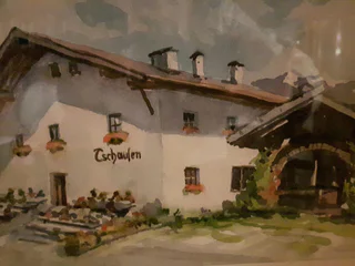
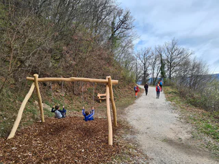
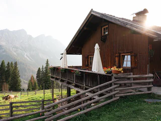
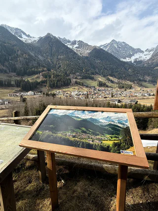
The Oberbergalm in the Gsiesertal Valley 1975 m
S. Maddalena/St. Magdalena - Casies/Gsies, Gsies/Valle di Casies
medium
Difficulty
498 m
Elevation gain
1h:51 min
duration
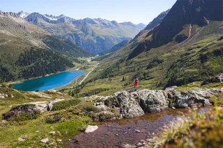
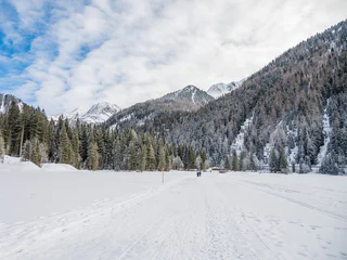
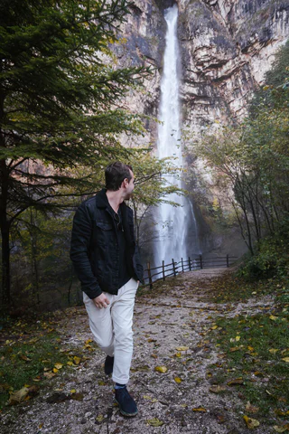
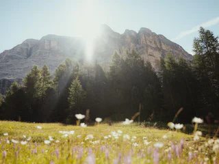
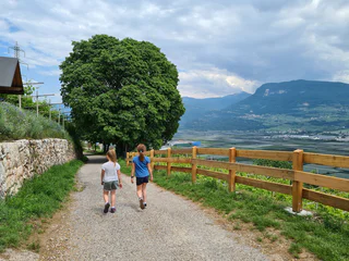
Walking is the best way to enjoy wonderful stretches of greenery. During your spring in South Tyrol, you can witness the awakening of nature in the valley and on the alpine meadows in bloom. Midsummer days are equally surprising: people are lured to mountain peaks, marvel at sweeping views and indulge in the traditional dishes served in quaint mountain huts. Go on a hike to watch the spectacle of autumn’s glorious colours and relax in nature.
S. Maddalena/St. Magdalena - Casies/Gsies, Gsies/Valle di Casies
medium
Difficulty
498 m
Elevation gain
1h:51 min
duration
Flanes/Flans, Freienfeld/Campo di Trens, Sterzing/Vipiteno and environs
easy
Difficulty
184 m
Elevation gain
1h:30 min
duration
S. Giovanni/St. Johann, Ahrntal/Valle Aurina, Ahrntal/Valle Aurina
easy
Difficulty
83 m
Elevation gain
2h:47 min
duration

1/3
Terento/Terenten, Terenten/Terento, Brixen/Bressanone and environs
easy
Difficulty
235 m
Elevation gain
1h:30 min
duration
1/11
Anterselva di Sopra/Antholz-Obertal, Rasen-Antholz/Rasun Anterselva, Dolomites Region Kronplatz/Plan de Corones
medium
Difficulty
714 m
Elevation gain
3h:43 min
duration
Pfelders/Plan, Moos in Passeier/Moso in Passiria, Meran/Merano and environs
0 m
Elevation gain
0h:00 min
duration
Proves/Proveis, Laurein/Lauregno, Meran/Merano and environs
easy
Difficulty
61 m
Elevation gain
0h:40 min
duration
1/5
S. Giacomo/St. Jakob - Val di Vizze/Pfitsch, Pfitsch/Val di Vizze, Sterzing/Vipiteno and environs
easy
Difficulty
38 m
Elevation gain
0h:25 min
duration

1/7
Anterselva di Sopra/Antholz-Obertal, Rasen-Antholz/Rasun Anterselva, Dolomites Region Kronplatz/Plan de Corones
easy
Difficulty
103 m
Elevation gain
0h:24 min
duration
Nove Case/Neunhäusern, Rasen-Antholz/Rasun Anterselva, Dolomites Region Kronplatz/Plan de Corones
easy
Difficulty
20 m
Elevation gain
2h:30 min
duration
Valdurna/Durnholz, Sarntal/Sarentino, Bolzano/Bozen and environs
medium
Difficulty
0 m
Elevation gain
5h:19 min
duration
Laghetti/Laag, Montan/Montagna, Alto Adige Wine Road
medium
Difficulty
376 m
Elevation gain
3h:28 min
duration
Magrè s.S.d.V./Margreid a.d.W., Kurtatsch an der Weinstraße/Cortaccia sulla Strada del Vino, Alto Adige Wine Road
medium
Difficulty
676 m
Elevation gain
2h:47 min
duration
1/4
Nove Case/Neunhäusern, Rasen-Antholz/Rasun Anterselva, Dolomites Region Kronplatz/Plan de Corones
easy
Difficulty
20 m
Elevation gain
1h:03 min
duration
Monguelfo/Welsberg, Welsberg-Taisten/Monguelfo-Tesido
easy
Difficulty
130 m
Elevation gain
1h:42 min
duration
Colle/Pichl, Gsies/Valle di Casies
easy
Difficulty
171 m
Elevation gain
2h:37 min
duration
1/6
Laion paese/Lajen Dorf, Lajen/Laion
easy
Difficulty
422 m
Elevation gain
3h:00 min
duration
1/2
Vallesina/Versein, Mölten/Meltina, Bolzano/Bozen and environs
medium
Difficulty
181 m
Elevation gain
0h:34 min
duration
1/2
Antholz-Obertal/Anterselva di Sopra, Rasen-Antholz/Rasun Anterselva, Dolomites Region Kronplatz/Plan de Corones
easy
Difficulty
0 m
Elevation gain
0h:30 min
duration

1/4
Glorenza/Glurns, Glurns/Glorenza, Vinschgau/Val Venosta
easy
Difficulty
134 m
Elevation gain
2h:00 min
duration
1/3
Salorno/Salurn, Alto Adige Wine Road
easy
Difficulty
194 m
Elevation gain
1h:00 min
duration
San Nicolò/St. Nikolaus, Ulten/Ultimo, Meran/Merano and environs
easy
Difficulty
0 m
Elevation gain
0h:49 min
duration
1/2
La Val/La Val, La Val, Dolomites Region Alta Badia
easy
Difficulty
0 m
Elevation gain
1h:30 min
duration
1/3
Cortaccia s.S.d.V./Kurtatsch, Kurtatsch an der Weinstraße/Cortaccia sulla Strada del Vino, Alto Adige Wine Road
medium
Difficulty
206 m
Elevation gain
2h:21 min
duration
1/2
Welsberg/Monguelfo, Welsberg-Taisten/Monguelfo-Tesido
difficult
Difficulty
844 m
Elevation gain
2h:47 min
duration
1/5
Kurtatsch/Cortaccia s.S.d.V., Kurtatsch an der Weinstraße/Cortaccia sulla Strada del Vino, Alto Adige Wine Road
easy
Difficulty
287 m
Elevation gain
2h:27 min
duration
S. Martino/St. Martin - Casies/Gsies, Gsies/Valle di Casies
medium
Difficulty
585 m
Elevation gain
1h:58 min
duration
1/5
Anterselva di Mezzo/Antholz-Mittertal, Gsies/Valle di Casies
difficult
Difficulty
2611 m
Elevation gain
9h:13 min
duration
1/5
Niederrasen/Rasun di Sotto, Rasen-Antholz/Rasun Anterselva, Dolomites Region Kronplatz/Plan de Corones
easy
Difficulty
108 m
Elevation gain
0h:25 min
duration
Casere/Kasern, Prettau/Predoi, Ahrntal/Valle Aurina
medium
Difficulty
622 m
Elevation gain
2h:15 min
duration
Thank you for signing up!
Your subscription is already active
Confirm your registration
To complete your subscription, open the email we just sent you and click on the confirmation link.
Can’t find it? Check your spam folder too.
We noticed that you tried to subscribe to the newsletter, but your email address is already registered. You will continue to receive our offers, tips and inspiration for your holiday.
We noticed that you already tried to subscribe to our Newsletter in the past but didn’t confirmed the subscription. We have resent you an email now, please check your inbox and spam folder to confirm.
