
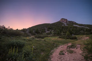
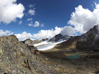
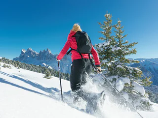
Marmotta peak
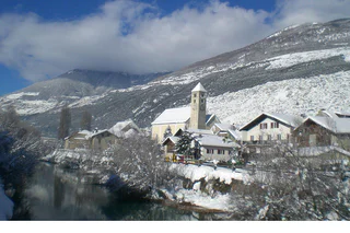
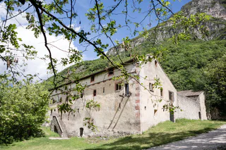
Solda/Sulden, Stilfs/Stelvio, Vinschgau/Val Venosta
difficult
Difficulty
1210 m
Elevation gain
8h:45 min
duration
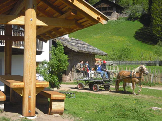
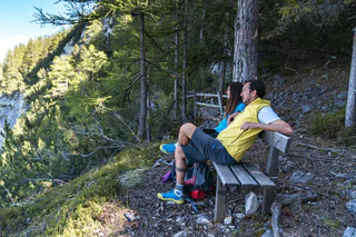
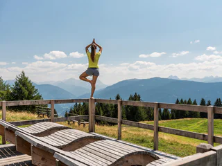
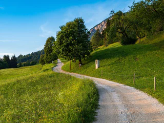
Walking is the best way to enjoy wonderful stretches of greenery. During your spring in South Tyrol, you can witness the awakening of nature in the valley and on the alpine meadows in bloom. Midsummer days are equally surprising: people are lured to mountain peaks, marvel at sweeping views and indulge in the traditional dishes served in quaint mountain huts. Go on a hike to watch the spectacle of autumn’s glorious colours and relax in nature.
Solda/Sulden, Stilfs/Stelvio, Vinschgau/Val Venosta
difficult
Difficulty
1210 m
Elevation gain
8h:45 min
duration
1/3
Oris/Eyrs, Laas/Lasa, Vinschgau/Val Venosta
easy
Difficulty
726 m
Elevation gain
2h:43 min
duration
1/5
Redagno/Radein, Aldein/Aldino
medium
Difficulty
306 m
Elevation gain
1h:00 min
duration
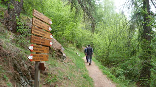
Sasso/Stein, Pfitsch/Val di Vizze, Sterzing/Vipiteno and environs
medium
Difficulty
455 m
Elevation gain
3h:30 min
duration
1/4
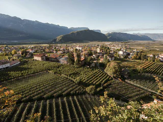
Ora/Auer, Auer/Ora, Alto Adige Wine Road
medium
Difficulty
451 m
Elevation gain
1h:49 min
duration
Radein/Redagno, Aldein/Aldino
difficult
Difficulty
1716 m
Elevation gain
6h:05 min
duration
1/3
Monte S. Caterina/Katharinaberg, Schnals/Senales, Vinschgau/Val Venosta
medium
Difficulty
868 m
Elevation gain
5h:16 min
duration
1/6
Maso Corto/Kurzras, Schnals/Senales, Vinschgau/Val Venosta
medium
Difficulty
1716 m
Elevation gain
5h:52 min
duration
Avenes/Afens, Pfitsch/Val di Vizze, Sterzing/Vipiteno and environs
medium
Difficulty
397 m
Elevation gain
1h:26 min
duration
1/4
Vallesina/Versein, Mölten/Meltina, Bolzano/Bozen and environs
easy
Difficulty
52 m
Elevation gain
0h:42 min
duration
1/5
Kuens/Caines, Moos in Passeier/Moso in Passiria, Meran/Merano and environs
easy
Difficulty
32 m
Elevation gain
0h:19 min
duration
1/9
Oris/Eyrs, Laas/Lasa, Vinschgau/Val Venosta
medium
Difficulty
880 m
Elevation gain
4h:01 min
duration
Flanes/Flans, Freienfeld/Campo di Trens, Sterzing/Vipiteno and environs
difficult
Difficulty
1371 m
Elevation gain
7h:30 min
duration
1/3
Ortisei/Urtijëi/St. Ulrich/Urtijëi, Villnöss/Funes, Dolomites Region Lüsen Villnöss
difficult
Difficulty
322 m
Elevation gain
2h:28 min
duration
1/8
Pinzano/Pinzon, Montan/Montagna, Alto Adige Wine Road
medium
Difficulty
750 m
Elevation gain
5h:00 min
duration
1/10
Plazzoles/Platzers, Tisens/Tesimo, Meran/Merano and environs
easy
Difficulty
27 m
Elevation gain
0h:10 min
duration
Santa Gertrude/St. Gertraud, Ulten/Ultimo, Meran/Merano and environs
medium
Difficulty
198 m
Elevation gain
2h:47 min
duration
1/2
Selva die Molini/Mühlwald, Mühlwald/Selva dei Molini, Ahrntal/Valle Aurina
medium
Difficulty
639 m
Elevation gain
5h:00 min
duration
1/7
Laghetti/Laag, Neumarkt/Egna, Alto Adige Wine Road
medium
Difficulty
896 m
Elevation gain
5h:34 min
duration
1/3
S. Maddalena/St. Magdalena - Casies/Gsies, Gsies/Valle di Casies
medium
Difficulty
870 m
Elevation gain
4h:30 min
duration
1/4
Terento/Terenten, Terenten/Terento, Brixen/Bressanone and environs
medium
Difficulty
580 m
Elevation gain
2h:16 min
duration
Flanes/Flans, Freienfeld/Campo di Trens, Sterzing/Vipiteno and environs
medium
Difficulty
1145 m
Elevation gain
5h:45 min
duration
1/3
S. Pietro/St. Peter - Valle Aurina/Ahrntal, Ahrntal/Valle Aurina, Ahrntal/Valle Aurina
difficult
Difficulty
1050 m
Elevation gain
3h:30 min
duration
S. Maddalena/St. Magdalena - Casies/Gsies, Gsies/Valle di Casies
easy
Difficulty
11 m
Elevation gain
0h:12 min
duration
San Nicolò/St. Nikolaus, Ulten/Ultimo, Meran/Merano and environs
medium
Difficulty
40 m
Elevation gain
2h:19 min
duration

1/2
Albion/Albions, Lajen/Laion
easy
Difficulty
437 m
Elevation gain
3h:49 min
duration
1/3
Luson/Lüsen, Lüsen/Luson, Dolomites Region Lüsen Villnöss
difficult
Difficulty
703 m
Elevation gain
4h:01 min
duration
Sasso/Stein, Pfitsch/Val di Vizze, Sterzing/Vipiteno and environs
easy
Difficulty
450 m
Elevation gain
2h:45 min
duration
1/5
Prissiano/Prissian, Tisens/Tesimo, Meran/Merano and environs
medium
Difficulty
608 m
Elevation gain
3h:31 min
duration
Glorenza/Glurns, Glurns/Glorenza, Vinschgau/Val Venosta
medium
Difficulty
650 m
Elevation gain
4h:30 min
duration
Thank you for signing up!
Your subscription is already active
Confirm your registration
To complete your subscription, open the email we just sent you and click on the confirmation link.
Can’t find it? Check your spam folder too.
We noticed that you tried to subscribe to the newsletter, but your email address is already registered. You will continue to receive our offers, tips and inspiration for your holiday.
We noticed that you already tried to subscribe to our Newsletter in the past but didn’t confirmed the subscription. We have resent you an email now, please check your inbox and spam folder to confirm.
