1/5
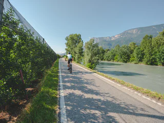
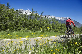
Etschtal Valley Circular Route from Nals/Nalles
Nalles/Nals, Nals/Nalles, Meran/Merano and environs
easy
Difficulty
0 m
Elevation gain
27.9 Km
distance

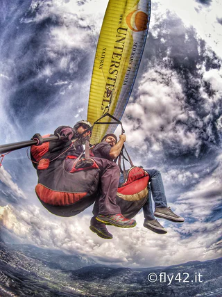
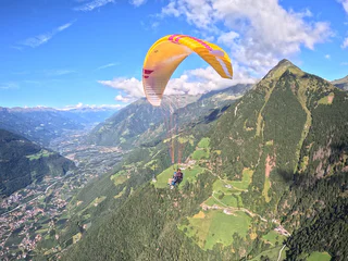
Would you like to experience something? On foot, by bike, in summer or in winter. When hiking, biking or paragliding. South Tyrol is a way of playing for everyone who likes to be active in nature.
1/5
Nalles/Nals, Nals/Nalles, Meran/Merano and environs
easy
Difficulty
0 m
Elevation gain
27.9 Km
distance
1/5
Tablà/Tabland - Parcines/Partschins, Naturns/Naturno, Meran/Merano and environs
medium
Difficulty
745 m
Elevation gain
3h:49 min
duration

Magdfeld/Magdfeld, Riffian/Rifiano, Meran/Merano and environs
difficult
Difficulty
944 m
Elevation gain
17.9 Km
distance
1/4
Chienes/Kiens, Kiens/Chienes, Dolomites Region Kronplatz/Plan de Corones
medium
Difficulty
341 m
Elevation gain
3h:27 min
duration
Sesto/Sexten, Sexten/Sesto, Dolomites Region 3 Zinnen
easy
Difficulty
228 m
Elevation gain
1h:49 min
duration
1/3
Rablà/Rabland, Partschins/Parcines, Meran/Merano and environs
easy
Difficulty
220 m
Elevation gain
43.2 Km
distance
Braies di Fuori/Ausserprags, Prags/Braies, Dolomites Region 3 Zinnen
easy
Difficulty
40 m
Elevation gain
0h:31 min
duration
1/8
San Martino i.P./St. Martin i.P., St.Martin in Passeier/San Martino in Passiria, Meran/Merano and environs
Pieve di Marebbe/Enneberg Pfarre, Al Plan/San Vigilio, Dolomites Region Kronplatz/Plan de Corones
difficult
Difficulty
832 m
Elevation gain
14.2 Km
distance
1/3
Nova Levante/Welschnofen, Welschnofen/Nova Levante, Dolomites Region Eggental
easy
Difficulty
267 m
Elevation gain
1h:58 min
duration
Kofl/Kofl, Pfalzen/Falzes, Dolomites Region Kronplatz/Plan de Corones
easy
Difficulty
49 m
Elevation gain
1h:00 min
duration
Colma/Kollmann, Barbian/Barbiano, Brixen/Bressanone and environs
medium
Difficulty
0 m
Elevation gain
6h:30 min
duration
1/4
Collalbo/Klobenstein, Ritten/Renon, Bolzano/Bozen and environs
easy
Difficulty
0 m
Elevation gain
1h:19 min
duration
Stelvio/Stilfs, Stilfs/Stelvio, Vinschgau/Val Venosta
difficult
Difficulty
1796 m
Elevation gain
9h:00 min
duration
San Nicolò/St. Nikolaus, Ulten/Ultimo, Meran/Merano and environs
easy
Difficulty
0 m
Elevation gain
5h:10 min
duration
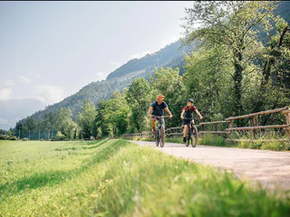
1/3
Schenna/Scena, Meran/Merano and environs
easy
Difficulty
510 m
Elevation gain
24.8 Km
distance
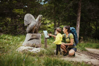
1/4
Badia/Badia, Badia, Dolomites Region Alta Badia
easy
Difficulty
21 m
Elevation gain
0h:15 min
duration
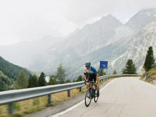
1/3
Valdaora di Mezzo/Mitterolang, Rasen-Antholz/Rasun Anterselva, Dolomites Region Kronplatz/Plan de Corones
difficult
Difficulty
1424 m
Elevation gain
22.3 Km
distance
Sesto/Sexten, Sexten/Sesto, Dolomites Region 3 Zinnen
easy
Difficulty
197 m
Elevation gain
0h:49 min
duration
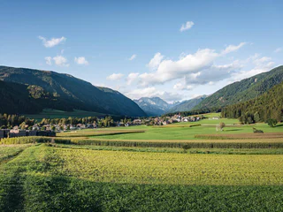
1/3
Valdaora di Mezzo/Mitterolang, Rasen-Antholz/Rasun Anterselva, Dolomites Region Kronplatz/Plan de Corones
easy
Difficulty
81 m
Elevation gain
0h:45 min
duration
1/4
Tirolo/Tirol, Tirol/Tirolo, Meran/Merano and environs
Longega/Zwischenwasser, Al Plan/San Vigilio, Dolomites Region Kronplatz/Plan de Corones
medium
Difficulty
2358 m
Elevation gain
100.1 Km
distance

1/2
San Cassiano/San Cassiano, Badia, Dolomites Region Alta Badia
easy
Difficulty
237 m
Elevation gain
1h:40 min
duration
Redagno/Radein, Aldein/Aldino
medium
Difficulty
316 m
Elevation gain
1h:23 min
duration
1/25
Partschins/Parcines, Meran/Merano and environs
medium
Difficulty
157 m
Elevation gain
3h:34 min
duration
Soprabolzano/Oberbozen, Ritten/Renon, Bolzano/Bozen and environs
easy
Difficulty
120 m
Elevation gain
1h:00 min
duration
1/8
Vallarga/Weitental, Mühlbach/Rio di Pusteria, Brixen/Bressanone and environs
easy
Difficulty
98 m
Elevation gain
0h:19 min
duration
Altavalle/Hintermartell, Martell/Martello, Vinschgau/Val Venosta
difficult
Difficulty
1067 m
Elevation gain
3h:27 min
duration
1/3
Nova Levante/Welschnofen, Welschnofen/Nova Levante, Dolomites Region Eggental
easy
Difficulty
338 m
Elevation gain
2h:12 min
duration
Nova Levante/Welschnofen, Welschnofen/Nova Levante, Dolomites Region Eggental
Thank you for signing up!
You are already subscribed
Confirm your registration
To complete your subscription, open the email we just sent you and click on the confirmation link.
Can’t find it? Check your spam folder too.
We noticed that you are already subscribed to our Newsletter. We will update you on exclusive offers, fun adventures and more so you can make the best out of your vacation.
We noticed that you already tried to subscribe to our Newsletter in the past but didn’t confirmed the subscription. We have resent you an email now, please check your inbox and spam folder to confirm.