
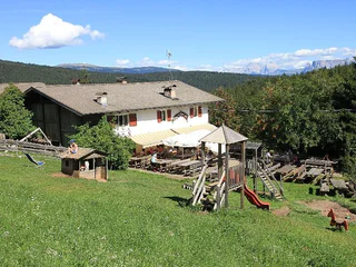
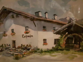
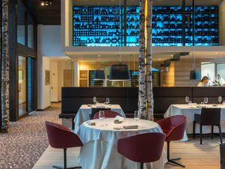
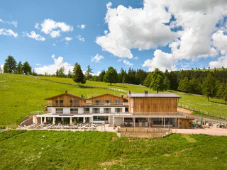
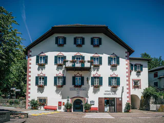
Inn Greif
Campolasta/Astfeld, Sarntal/Sarentino, Bolzano/Bozen and environs
| Region Bolzano a okolí vám nabízí nezapomenutelné zážitky v přírodě a bohaté kulturní dědictví. Přijďte a objevte všechny jeho krásy. |
Campolasta/Astfeld, Sarntal/Sarentino, Bolzano/Bozen and environs
Pineta di Laives/Steinmannwald, Laives/Leifers, Bolzano/Bozen and environs
Virgolo/Virgl, Bolzano/Bozen, Bolzano/Bozen and environs
1/4
Vallesina/Versein, Mölten/Meltina, Bolzano/Bozen and environs
easy
Obtížnost
422 m
Převýšení
1h:40 min
doba trvání
1/8
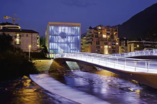
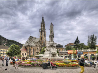
Bolzano Centro/Bozen Zentrum, Bolzano/Bozen, Bolzano/Bozen and environs
1/3
Bolzano Centro/Bozen Zentrum, Bolzano/Bozen, Bolzano/Bozen and environs
Valas/Flaas, Jenesien/San Genesio Atesino, Bolzano/Bozen and environs
Vallesina/Versein, Mölten/Meltina, Bolzano/Bozen and environs
medium
Obtížnost
677 m
Převýšení
4h:43 min
doba trvání

1/3
Glaning/Cologna, Jenesien/San Genesio Atesino, Bolzano/Bozen and environs
Avigna/Afing, Jenesien/San Genesio Atesino, Bolzano/Bozen and environs

1/4
Laives/Leifers, Bolzano/Bozen, Bolzano/Bozen and environs
medium
Obtížnost
1073 m
Převýšení
5h:31 min
doba trvání
1/5
Longomoso/Lengmoos, Ritten/Renon, Bolzano/Bozen and environs
Campitello/Kandelsberg, Sarntal/Sarentino, Bolzano/Bozen and environs
Auna di Sotto/Unterinn, Ritten/Renon, Bolzano/Bozen and environs
Ronco/Rungg, Sarntal/Sarentino, Bolzano/Bozen and environs
1/2
Vallesina/Versein, Mölten/Meltina, Bolzano/Bozen and environs
medium
Obtížnost
181 m
Převýšení
0h:34 min
doba trvání
S. Osvaldo/St. Oswald - Bolzano/Bozen, Bolzano/Bozen, Bolzano/Bozen and environs
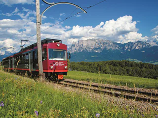
Collalbo/Klobenstein, Ritten/Renon, Bolzano/Bozen and environs
1/6
Prati/Auen, Sarntal/Sarentino, Bolzano/Bozen and environs

1/3
Soprabolzano/Oberbozen, Ritten/Renon, Bolzano/Bozen and environs
1/6
Soprabolzano/Oberbozen, Ritten/Renon, Bolzano/Bozen and environs
Bozner Boden/Piani di Bolzano, Bolzano/Bozen, Bolzano/Bozen and environs
Valdurna/Durnholz, Sarntal/Sarentino, Bolzano/Bozen and environs
1/15
Valas/Flaas, Jenesien/San Genesio Atesino, Bolzano/Bozen and environs
1/4
Longostagno/Lengstein, Ritten/Renon, Bolzano/Bozen and environs
Colle/Kohlern, Bolzano/Bozen, Bolzano/Bozen and environs
easy
Obtížnost
374 m
Převýšení
2h:37 min
doba trvání

1/2
S.Antonio/St.Anton, Ritten/Renon, Bolzano/Bozen and environs
medium
Obtížnost
689 m
Převýšení
19.9 Km
vzdálenost
Soprabolzano/Oberbozen, Ritten/Renon, Bolzano/Bozen and environs
1/4
Vallesina/Versein, Mölten/Meltina, Bolzano/Bozen and environs
easy
Obtížnost
202 m
Převýšení
0h:43 min
doba trvání
Vallesina/Versein, Mölten/Meltina, Bolzano/Bozen and environs
easy
Obtížnost
405 m
Převýšení
1h:42 min
doba trvání


