
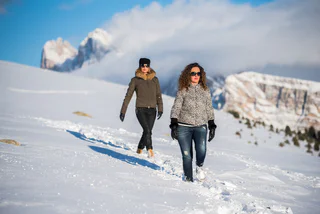
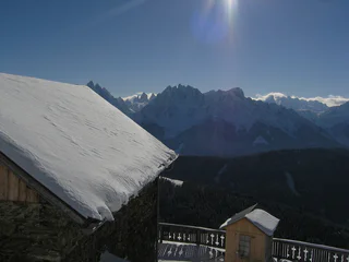
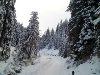
Winter hiking to the Lercher Alm hut
Sopranessano/Aschbach, Percha/Perca, Dolomites Region Kronplatz/Plan de Corones
easy
Poziom trudności
243 m
Wzlot
1h:00 min
czas trwania
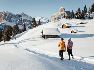
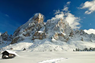
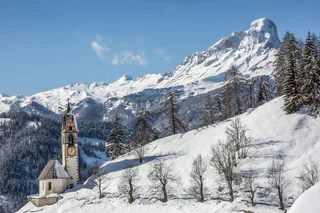
| Przeżyj zimową przygodę podczas wędrówek w regionie Dolomitów. Odkryj urokliwe trasy, które oferują piękne widoki i doskonałe warunki do zimowego trekkingu. |
Sopranessano/Aschbach, Percha/Perca, Dolomites Region Kronplatz/Plan de Corones
easy
Poziom trudności
243 m
Wzlot
1h:00 min
czas trwania
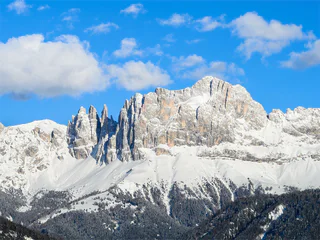
Selva/Sëlva/Wolkenstein/Sëlva, Urtijëi/Ortisei, Dolomites Region Val Gardena
easy
Poziom trudności
61 m
Wzlot
2h:31 min
czas trwania
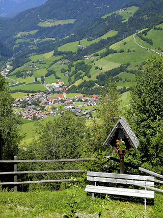
Ausserprags/Braies di Fuori, Prags/Braies, Dolomites Region 3 Zinnen
easy
Poziom trudności
47 m
Wzlot
0h:40 min
czas trwania
1/2
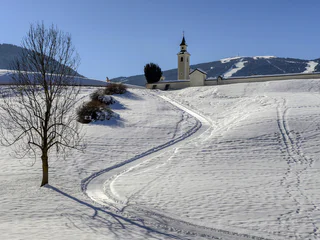
Ortisei/Urtijëi/St. Ulrich/Urtijëi, Urtijëi/Ortisei, Dolomites Region Val Gardena
easy
Poziom trudności
101 m
Wzlot
0h:39 min
czas trwania
1/2
Obereggen/Obereggen, Deutschnofen/Nova Ponente, Dolomites Region Eggental
easy
Poziom trudności
183 m
Wzlot
1h:25 min
czas trwania
Monguelfo/Welsberg, Welsberg-Taisten/Monguelfo-Tesido
medium
Poziom trudności
144 m
Wzlot
2h:00 min
czas trwania
1/2
Obereggen/Obereggen, Deutschnofen/Nova Ponente, Dolomites Region Eggental
medium
Poziom trudności
454 m
Wzlot
3h:30 min
czas trwania
1/2
Valdaora di Sopra/Oberolang, Olang/Valdaora, Dolomites Region Kronplatz/Plan de Corones
easy
Poziom trudności
291 m
Wzlot
1h:07 min
czas trwania

1/2
Alpe di Rodengo/Rodenecker Alm, Lüsen/Luson, Dolomites Region Lüsen Villnöss
medium
Poziom trudności
0 m
Wzlot
5h:00 min
czas trwania
1/2
S. Candido/Innichen, Toblach/Dobbiaco, Dolomites Region 3 Zinnen
medium
Poziom trudności
715 m
Wzlot
2h:30 min
czas trwania
1/3
Nova Levante/Welschnofen, Welschnofen/Nova Levante, Dolomites Region Eggental
medium
Poziom trudności
429 m
Wzlot
2h:34 min
czas trwania
Obereggen/Obereggen, Deutschnofen/Nova Ponente, Dolomites Region Eggental
medium
Poziom trudności
519 m
Wzlot
3h:00 min
czas trwania
1/3
Luson/Lüsen, Lüsen/Luson, Dolomites Region Lüsen Villnöss
medium
Poziom trudności
403 m
Wzlot
2h:10 min
czas trwania
1/2
Valdaora di Mezzo/Mitterolang, Welsberg-Taisten/Monguelfo-Tesido
easy
Poziom trudności
40 m
Wzlot
1h:25 min
czas trwania
1/2
S. Candido/Innichen, Toblach/Dobbiaco, Dolomites Region 3 Zinnen
easy
Poziom trudności
319 m
Wzlot
2h:00 min
czas trwania
1/2
San Cassiano/San Cassiano, Badia, Dolomites Region Alta Badia
easy
Poziom trudności
545 m
Wzlot
2h:30 min
czas trwania
Niederdorf/Villabassa, Dolomites Region 3 Zinnen
medium
Poziom trudności
416 m
Wzlot
2h:06 min
czas trwania
1/5
Longiarù/Campill, San Martin /San Martino, Dolomites Region Kronplatz/Plan de Corones
medium
Poziom trudności
284 m
Wzlot
1h:40 min
czas trwania
S. Maddalena/St. Magdalena - Casies/Gsies, Gsies/Valle di Casies
medium
Poziom trudności
503 m
Wzlot
2h:00 min
czas trwania
Colle/Pichl, Gsies/Valle di Casies
easy
Poziom trudności
200 m
Wzlot
3h:00 min
czas trwania
Gandelle-Franadega-Fienili/Kandellen-Frondeigen-Stadlern, Toblach/Dobbiaco, Dolomites Region 3 Zinnen
easy
Poziom trudności
71 m
Wzlot
1h:30 min
czas trwania
Dolomites Region 3 Zinnen
medium
Poziom trudności
0 m
Wzlot
2h:30 min
czas trwania
Braies di Fuori/Ausserprags, Prags/Braies, Dolomites Region 3 Zinnen
easy
Poziom trudności
373 m
Wzlot
2h:25 min
czas trwania
Villabassa/Niederdorf, Niederdorf/Villabassa, Dolomites Region 3 Zinnen
easy
Poziom trudności
600 m
Wzlot
4h:30 min
czas trwania
Sesto/Sexten, Sexten/Sesto, Dolomites Region 3 Zinnen
medium
Poziom trudności
538 m
Wzlot
2h:19 min
czas trwania
S.Cristina Gherdëina/S.Cristina Val Gardena/S.Cristina Gherdëina/St.Christina in Gröden, Sëlva/Selva di Val Gardena, Dolomites Region Val Gardena
easy
Poziom trudności
0 m
Wzlot
0h:16 min
czas trwania
Fraina/Freins, Lajen/Laion
easy
Poziom trudności
82 m
Wzlot
1h:00 min
czas trwania
Sesto/Sexten, Sexten/Sesto, Dolomites Region 3 Zinnen
easy
Poziom trudności
108 m
Wzlot
0h:34 min
czas trwania
1/4
La Val/La Val, La Val, Dolomites Region Alta Badia
easy
Poziom trudności
299 m
Wzlot
1h:08 min
czas trwania
S. Maddalena/St. Magdalena - Casies/Gsies, Gsies/Valle di Casies
easy
Poziom trudności
222 m
Wzlot
1h:43 min
czas trwania
Dziękujemy za zapisanie się!
Subskrypcja jest już aktywna
Potwierdź rejestrację
Aby zakończyć rejestrację, otwórz e-mail, który właśnie wysłaliśmy, i kliknij link potwierdzający.
Nie widzisz wiadomości? Sprawdź folder spam.
Zauważyliśmy, że próbowałeś(-aś) zapisać się do newslettera, ale Twój adres e-mail jest już zarejestrowany. Nadal będziesz otrzymywać nasze oferty, wskazówki i inspiracje na Twój urlop.
Już próbowałeś zapisać się do naszego newslettera, ale nie potwierdziłeś rejestracji. Właśnie wysłaliśmy ci ponownie e‑mail. Sprawdź swoją skrzynkę odbiorczą i folder ze spamem i potwierdź teraz.


