1/2
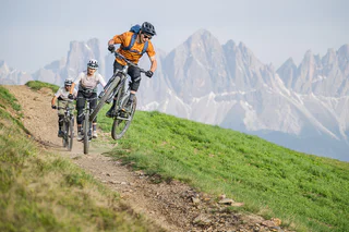
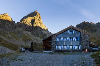
Brixen Bikepark: Jerry Line
Plose/Plose, Brixen/Bressanone, Brixen/Bressanone and environs
easy
Poziom trudności
5 m
Wzlot
4.2 Km
odległość
1/2
Plose/Plose, Brixen/Bressanone, Brixen/Bressanone and environs
easy
Poziom trudności
5 m
Wzlot
4.2 Km
odległość

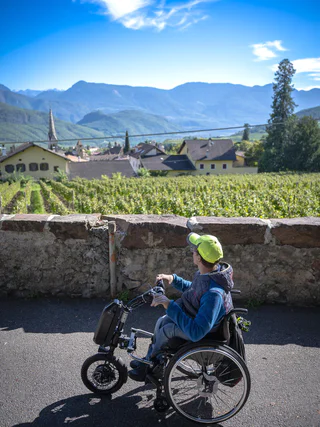
Pochi/Buchholz, Salorno/Salurn, Alto Adige Wine Road
easy
Poziom trudności
119 m
Wzlot
0h:43 min
czas trwania
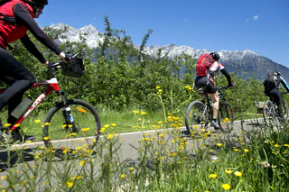
Tarres/Tarsch, Latsch/Laces, Vinschgau/Val Venosta
medium
Poziom trudności
757 m
Wzlot
3h:21 min
czas trwania
Badia/Badia, Corvara, Dolomites Region Alta Badia
medium
Poziom trudności
1711 m
Wzlot
69.1 Km
odległość
1/3
La Villa/La Villa, Badia, Dolomites Region Alta Badia
medium
Poziom trudności
812 m
Wzlot
3h:25 min
czas trwania
1/3
Plan/Pfelders, Moos in Passeier/Moso in Passiria, Meran/Merano and environs
medium
Poziom trudności
1250 m
Wzlot
7h:00 min
czas trwania
Lüsen/Luson, Dolomites Region Lüsen Villnöss
medium
Poziom trudności
1951 m
Wzlot
24.6 Km
odległość
1/3
Tires/Tiers, Karneid/Cornedo all'Isarco, Dolomites Region Eggental
medium
Poziom trudności
391 m
Wzlot
3h:27 min
czas trwania
1/4
Sonnenberg/Montesole - Martell/Martello, Martell/Martello, Vinschgau/Val Venosta
difficult
Poziom trudności
943 m
Wzlot
4h:25 min
czas trwania
Piavenna/Plawenn, Graun im Vinschgau/Curon Venosta, Vinschgau/Val Venosta
easy
Poziom trudności
22 m
Wzlot
5 Km
odległość
Pietrarossa/Rotwand, Ritten/Renon, Bolzano/Bozen and environs
easy
Poziom trudności
68 m
Wzlot
2.4 Km
odległość
1/11
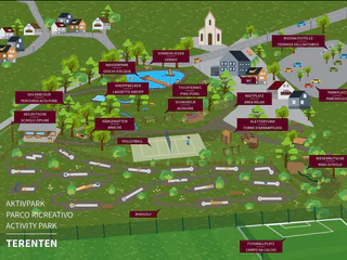
Terento/Terenten, Terenten/Terento, Brixen/Bressanone and environs
Selva die Molini/Mühlwald, Mühlwald/Selva dei Molini, Ahrntal/Valle Aurina
medium
Poziom trudności
545 m
Wzlot
5h:00 min
czas trwania
Nove Case/Neunhäusern, Rasen-Antholz/Rasun Anterselva, Dolomites Region Kronplatz/Plan de Corones
medium
Poziom trudności
550 m
Wzlot
3h:00 min
czas trwania
1/5
Meltina/Mölten, Mölten/Meltina, Bolzano/Bozen and environs
medium
Poziom trudności
912 m
Wzlot
5h:43 min
czas trwania
1/2
Nova Levante/Welschnofen, Welschnofen/Nova Levante, Dolomites Region Eggental
easy
Poziom trudności
102 m
Wzlot
1h:25 min
czas trwania
1/5
Monguelfo/Welsberg, Welsberg-Taisten/Monguelfo-Tesido
easy
Poziom trudności
268 m
Wzlot
1h:40 min
czas trwania
1/2
Margreid a.d.W./Magrè s.S.d.V., Margreid an der Weinstraße/Magrè sulla Strada del Vino, Alto Adige Wine Road
medium
Poziom trudności
508 m
Wzlot
2h:19 min
czas trwania
Dolomites Region Kronplatz/Plan de Corones
medium
Poziom trudności
560 m
Wzlot
1h:49 min
czas trwania
1/4
Fundres/Pfunders, Vintl/Vandoies, Brixen/Bressanone and environs
medium
Poziom trudności
0 m
Wzlot
3h:30 min
czas trwania
S. Martino al Monte/St. Martin - Laces/Latsch, Latsch/Laces, Vinschgau/Val Venosta
difficult
Poziom trudności
1103 m
Wzlot
14.0 Km
odległość
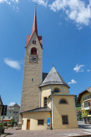
Bressanone città/Brixen Stadt, Brixen/Bressanone, Brixen/Bressanone and environs
medium
Poziom trudności
815 m
Wzlot
4h:55 min
czas trwania
Cortaccia s.S.d.V./Kurtatsch, Kurtatsch an der Weinstraße/Cortaccia sulla Strada del Vino, Alto Adige Wine Road
easy
Poziom trudności
473 m
Wzlot
40.0 Km
odległość
Caldaro Paese/Kaltern Dorf, Kaltern an der Weinstraße/Caldaro sulla Strada del Vino, Alto Adige Wine Road
difficult
Poziom trudności
1871 m
Wzlot
83.2 Km
odległość
Braies di Fuori/Ausserprags, Prags/Braies, Dolomites Region 3 Zinnen
medium
Poziom trudności
561 m
Wzlot
2h:17 min
czas trwania
Nova Ponente Centro/Deutschnofen Dorf, Aldein/Aldino
easy
Poziom trudności
378 m
Wzlot
2h:25 min
czas trwania
1/3
Laives/Leifers, Bolzano/Bozen, Bolzano/Bozen and environs
easy
Poziom trudności
53 m
Wzlot
15.0 Km
odległość
1/2
medium
Poziom trudności
617 m
Wzlot
2h:30 min
czas trwania
1/4
Oberplanitzing/Pianizza di Sopra, Kaltern an der Weinstraße/Caldaro sulla Strada del Vino, Alto Adige Wine Road
easy
Poziom trudności
84 m
Wzlot
1h:34 min
czas trwania
1/5
Quadrato/Quadrat, Partschins/Parcines, Meran/Merano and environs
easy
Poziom trudności
1371 m
Wzlot
75.7 Km
odległość
Dziękujemy za zapisanie się!
Subskrypcja jest już aktywna
Potwierdź rejestrację
Aby zakończyć rejestrację, otwórz e-mail, który właśnie wysłaliśmy, i kliknij link potwierdzający.
Nie widzisz wiadomości? Sprawdź folder spam.
Zauważyliśmy, że próbowałeś(-aś) zapisać się do newslettera, ale Twój adres e-mail jest już zarejestrowany. Nadal będziesz otrzymywać nasze oferty, wskazówki i inspiracje na Twój urlop.
Już próbowałeś zapisać się do naszego newslettera, ale nie potwierdziłeś rejestracji. Właśnie wysłaliśmy ci ponownie e‑mail. Sprawdź swoją skrzynkę odbiorczą i folder ze spamem i potwierdź teraz.


