1/3
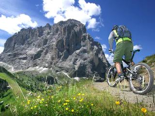
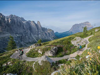
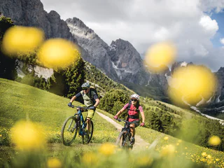
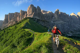
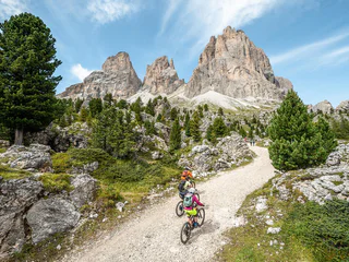
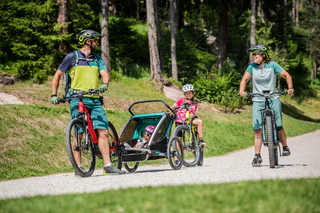
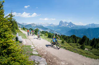
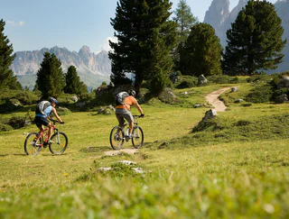
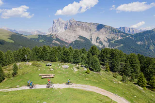
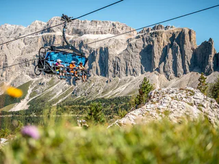
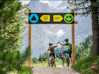
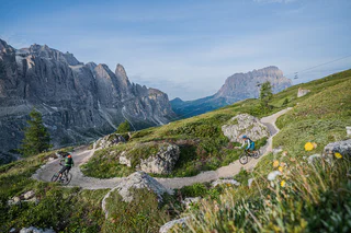
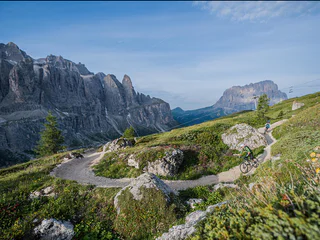
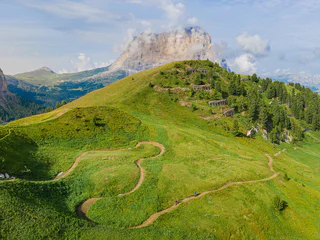
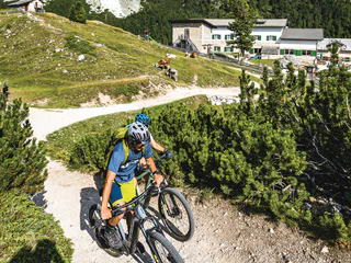
298 Rifugio Firenze Tour
S.Cristina Gherdëina/S.Cristina Val Gardena/S.Cristina Gherdëina/St.Christina in Gröden, S.Crestina Gherdëina/Santa Cristina Val Gardana, Dolomites Region Val Gardena
difficult
Poziom trudności
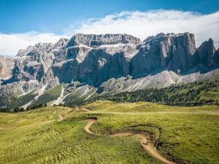
780 m
Wzlot
24.4 Km
odległość