This hike goes through both the Monte Corno Natural Park, a scenic jewel rich in flora and fauna, and across the slopes of South Tyrol´s Bassa Atesina. This is where the idyllic villages of Gleno and Casignano can be found. You can enjoy a wonderful view of Castelfeder, the Adige Valley, the Mendola range of mountains and Lake Caldaro to as far away as the mountains above Merano.
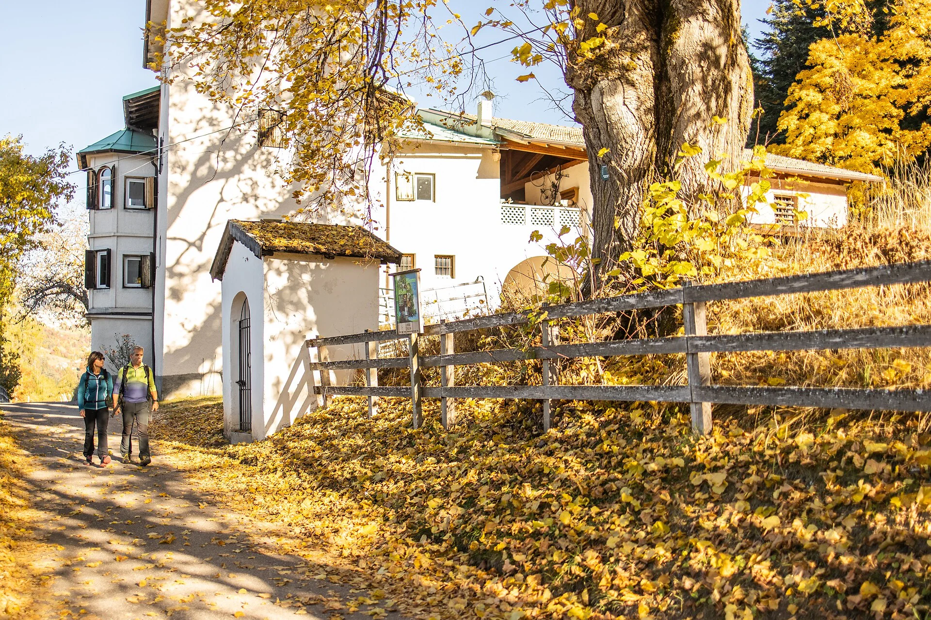
The walk begins at the car park at the beginning of the village of Montan/Montagna and along via S. Bartolomeo in the direction of Pinzano. If you follow the signs to the "Vecchia Ferrovia” (Old Railway Line), over Gleno viaduct and past the Planitzer restaurant, you will arrive in the romantic village of Gleno. From path no. 1, continue up to upper Gleno, along path no. 4 (the old Casignano path), then carry on to Casignano. From the Dorfner farm, path no. 10 leads to the Gsteigerhof farm.
If you’d like to make a detour to the Kanzel viewpoint, you can get there by taking path no. 11 just before the Gsteigerhof farm and then continuing to the right on path no. 3A. The magnificent view over the Bassa Atesina is well worth this slight detour. To return, take path no. 3. At the first fork, take path no. 7 e you pass the known "Glener" waterfall. Proceed left on path no. 5 and then take path no. 1 to the right towards Glen/Gleno. Following the old railway, you will get back the car park.
Resting places: Farm Inn Lexnhof and Planitzer in Glen/Gleno, Farm Inn Dorfner in Gschnon /Casignano and Gsteiger in Gsteig.
highway exit A22 Egna; direction to Montagna; after the first tunnel you come to the roundaround and there you take the firt exit and after the second tunnel you follow the street to Montagna.

To complete your subscription, open the email we just sent you and click on the confirmation link.
Can’t find it? Check your spam folder too.