Südtirol Guide App Logo
Skip to content

added to favourites

removed from favourites

Oops! Something went wrong. Try again

Your account is being created

Your account has been successfully created and you are now logged in

You’ve been logged in successfully!

Your account was created successfully, but we couldn't log you in automatically

You are logged out.

Hiking

Truden / Trodena - Hohe Wand - Cislonalm / Malga Cislon - Truden / Trodena

Truden/Trodena
Truden / Trodena (1,161 m) - Hohe Wand (1,400 m) - Cisloneralm / Malga Cislon (1,333 m) - Truden / Trodena (1,110 m)
from center
Truden / Trodena (1,161 m) - Hohe Wand (1,400 m) - Cisloneralm / Malga Cislon (1,333 m) - Truden / Trodena (1,110 m)
Itinerary
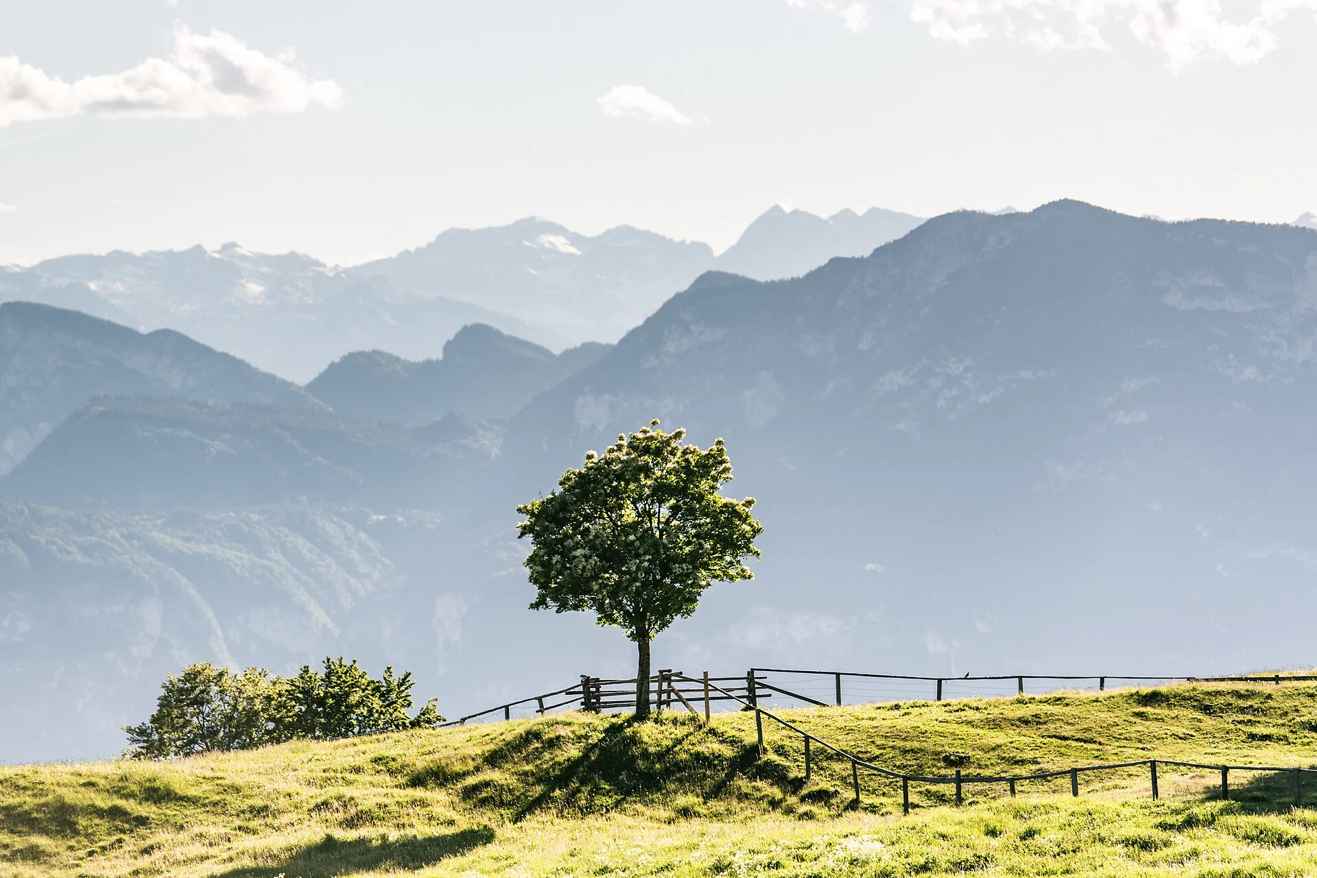
From the parking lot (1,161 m) at the northern edge of Truden, the Praglasir forest road (marker 2) forks off the state road and leads in a northwesterly direction through meadows and mixed larch woods. When you reach the point where the trail bends to the left, continue going straight and follow marker 2A, which will take you to Hohe Wand. Here you will find yourself in an Alpine setting par excellence, where Alpine roses, mugo pines, mountain avens, saxifrages and Alpine clematises cover the rocks and slopes on the shady northern face of Cislon. The breathtaking panorama includes the Lagorai mountains, Schwarzhorn / Corno Nero, Weißhorn / Corno Bianco, the Zillertal Alps, the Texel / Tessa mountains, and Etschtal / Adige valley. After crossing a rock, which is very safe, you will reach the mixed fir woods. Above the forest road (marker 2) we reach the open pastures of the Cisloneralm (1,490 m, open to the public all year). From there you can see the dark fir woods on the northern slope of Trudner Horn / Monte Corno and Königswiese / Prato del Re, as well as the rocky hilltops of the Brenta mountains, which tower over Mendel mountain range. You then return to Truden via a section of the trail that takes you through Scots pines, beeches and coppice (marker 1).
Distance 8 Km
Duration 2h:34 min
Elevation gain 328 m
Elevation loss 328 m
Highest point 1428 m
Lowest point 1142 m
Details
The section leading to Hohe Wand follows narrow mountain trails and requires sure-footedness. Extra caution is advised in wet conditions.
Sturdy hiking boots with good grip, weather-appropriate clothing, sufficient water, sun protection and hiking poles are recommended.
Don't miss the viewpoint at Hohe Wand, one of the finest panoramic spots in Trudner Horn Nature Park.
Take the train to Neumarkt-Tramin railway station. From there, take bus line 144 to Truden, Zentrum. The starting point is only a few minutes' walk from the bus stop.
Directions
Take the A22 motorway exit Neumarkt/Auer and continue via Montan to Truden. The starting point is at the car park on the northern edge of the village.
Parking
Parking lot (1,161 m) at the northern edge of Truden/Trodena.
Accommodation image
Finish your booking for
Accommodation name
0  room rooms Not selected No board Breakfast Half board Full board All inclusive
Total price: 0 €
(incl. VAT / excl. local tourism tax)