The counter-clockwise Sellaronda MTB Tour has a total altitude difference of approx. 1,020 m to ride uphill and descents that vary from single trails to gravel roads. It is therefore suitable for uphill cycling with or without pedal assistance/e-bike. The time required varies according to MTB riding ability: from a minimum of 6 to a maximum of 9 hours, including lunch break.
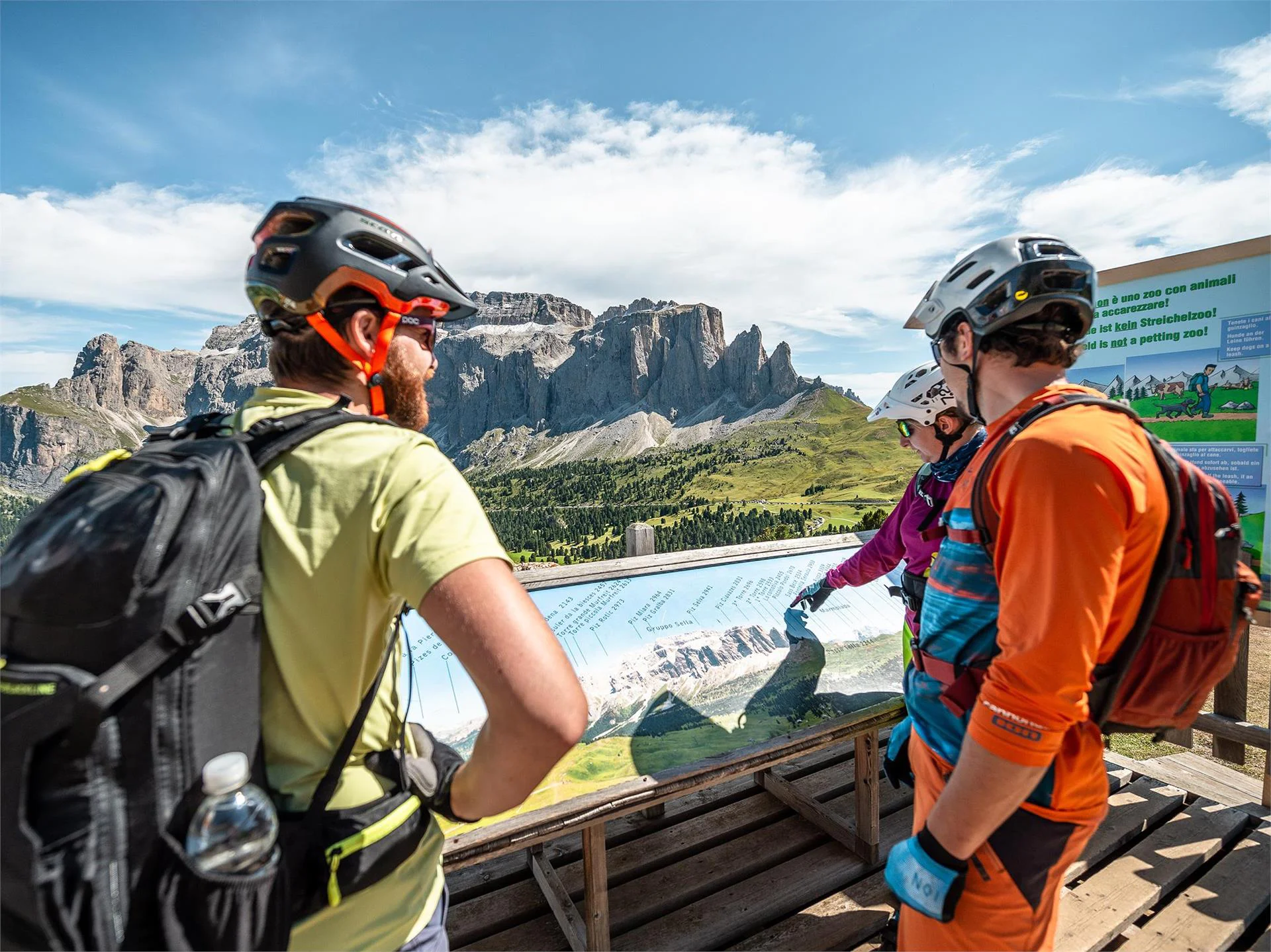
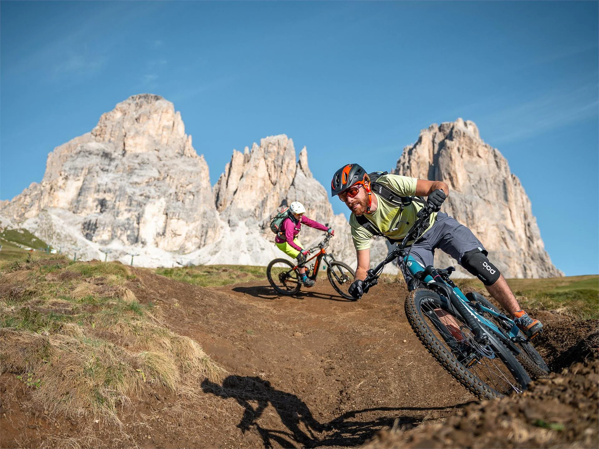
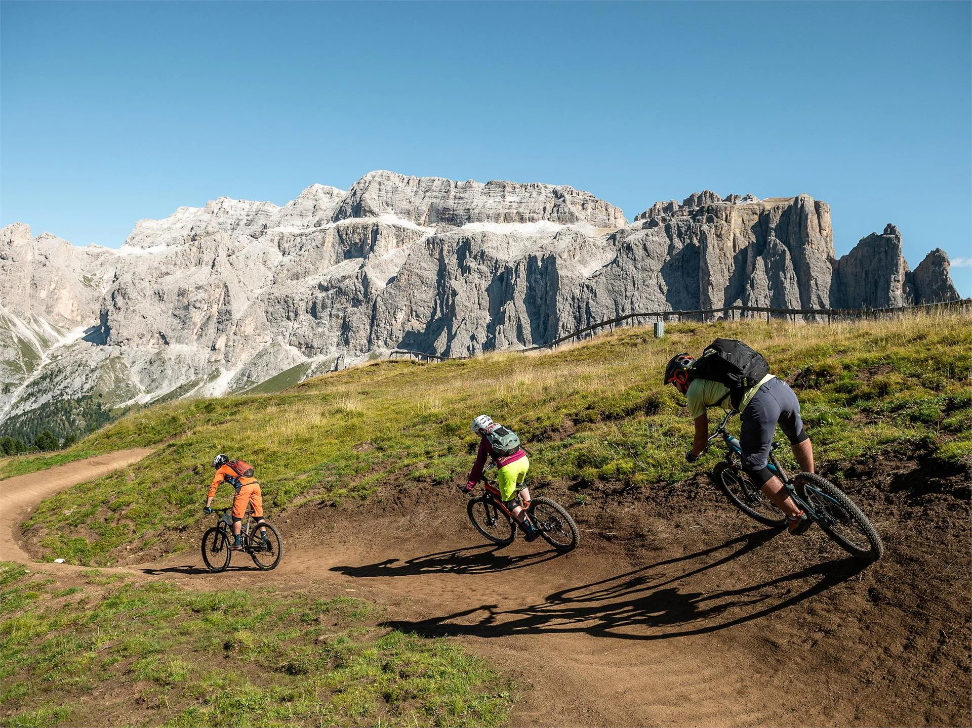
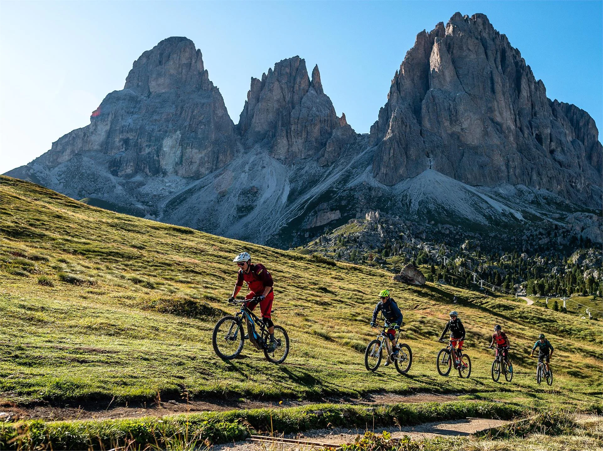
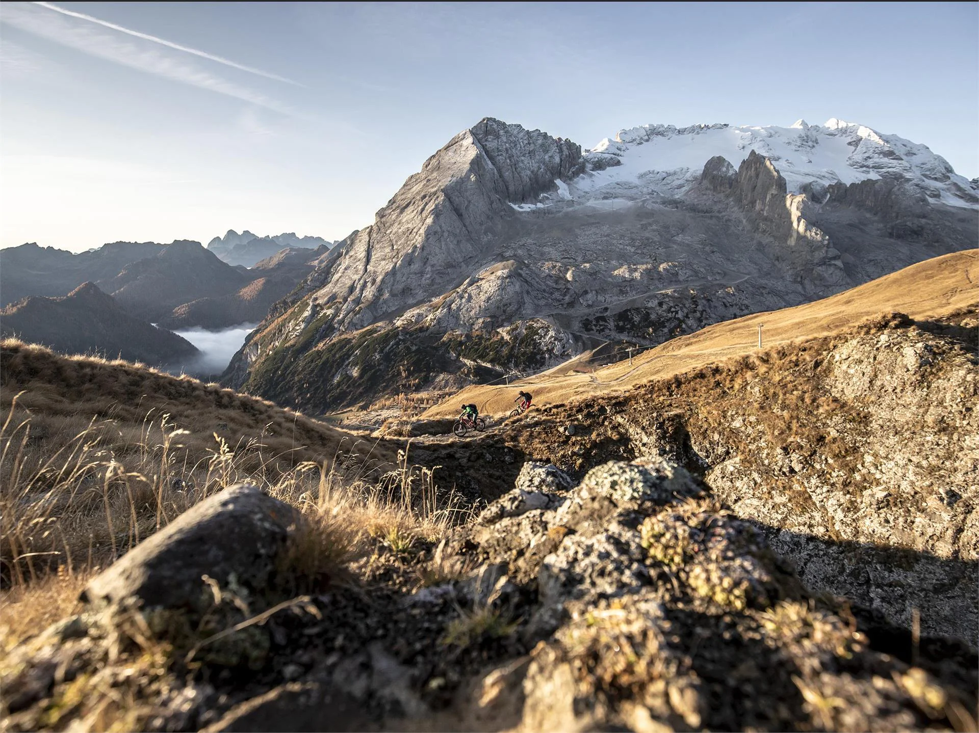
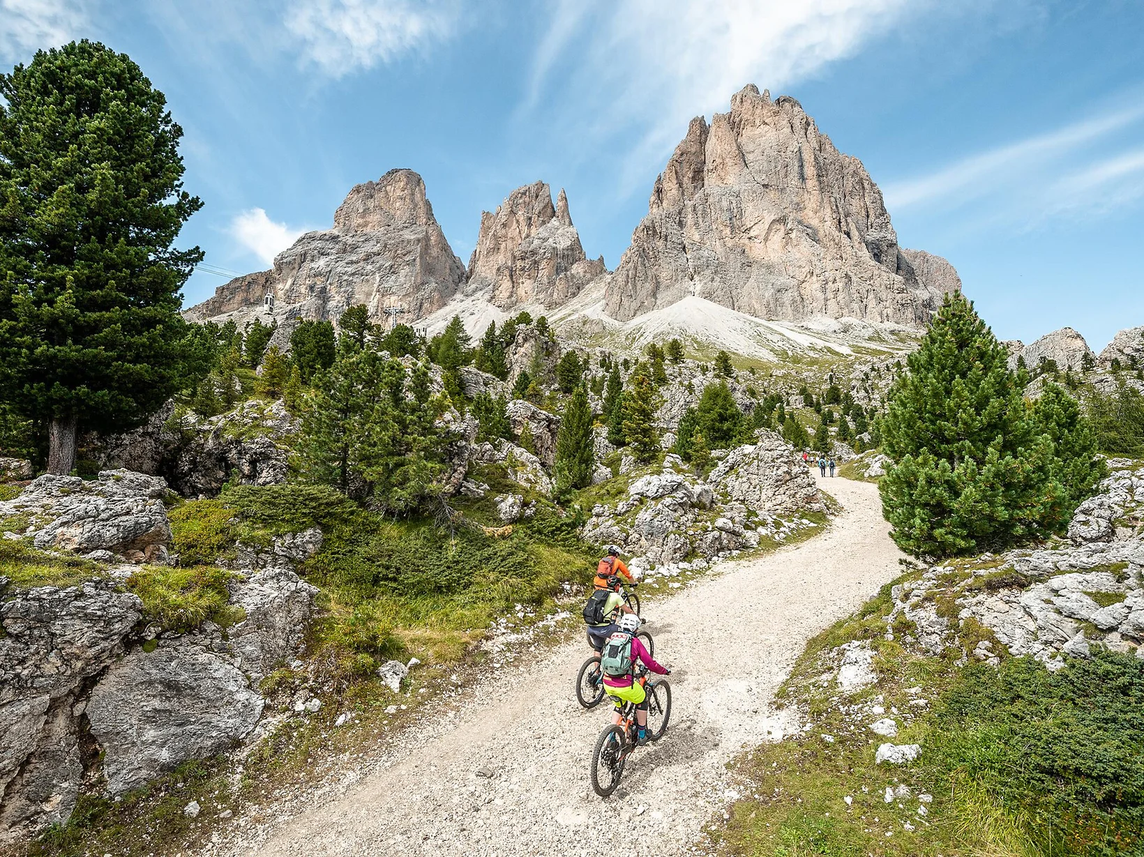
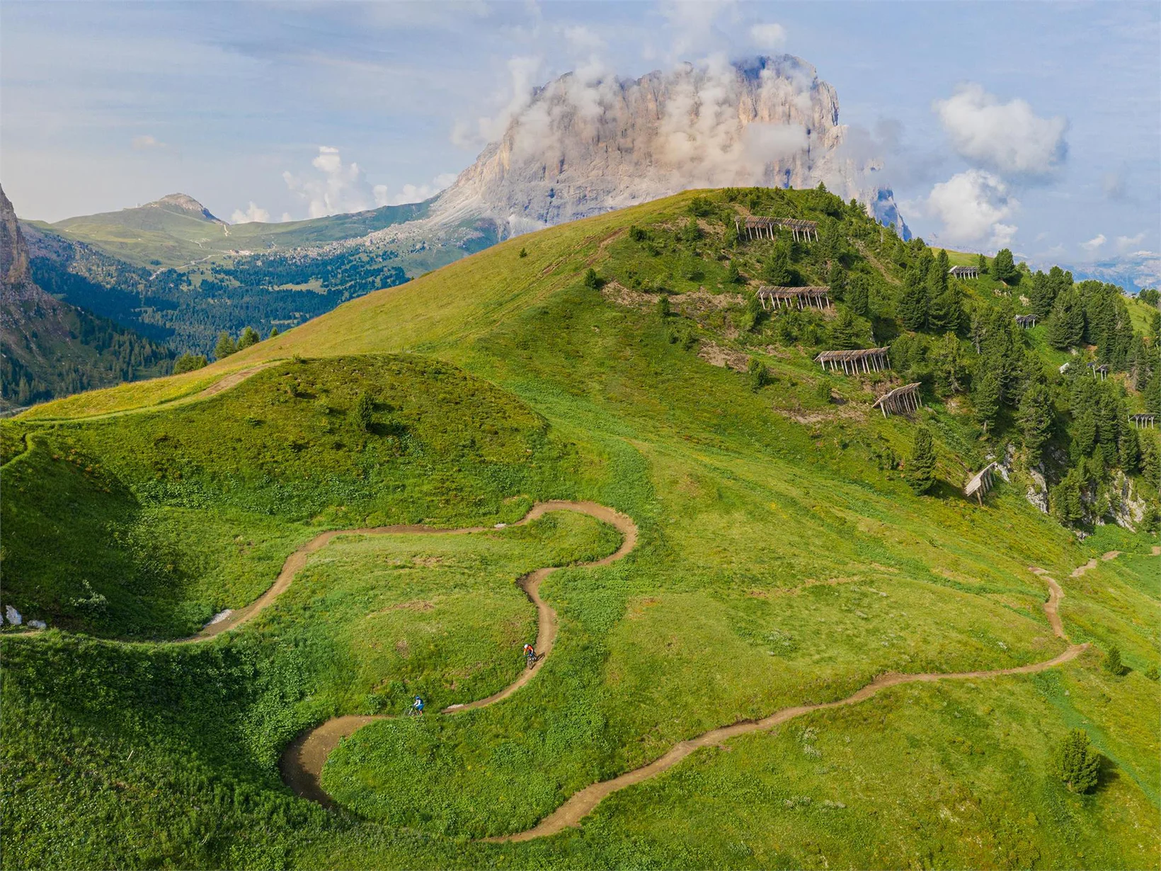
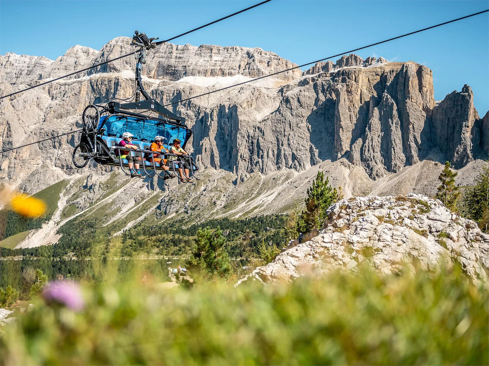
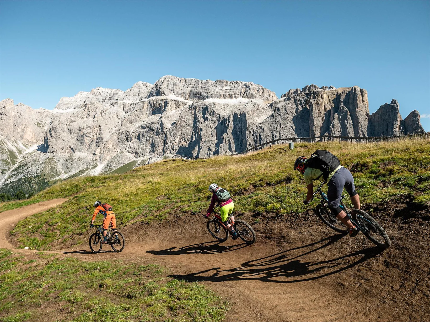
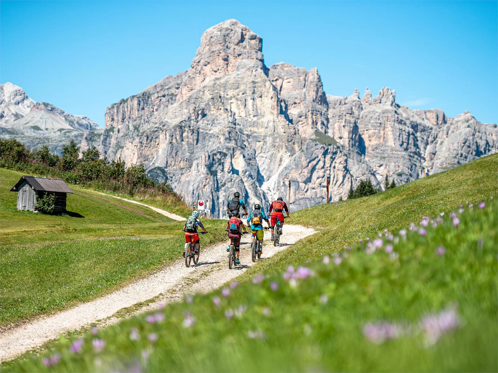
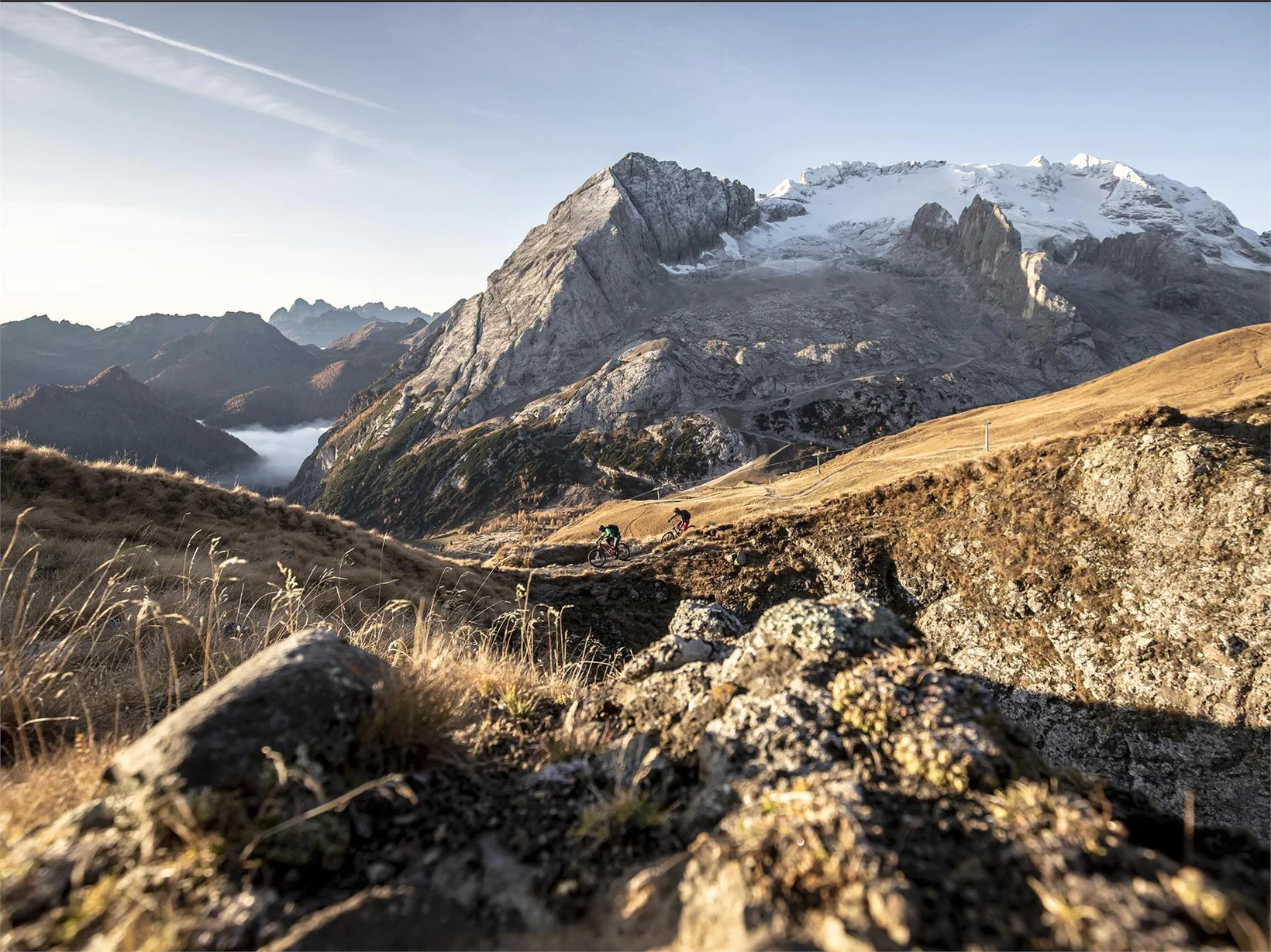
With the Ciampinoi cable car and a first short descent along a path that is also used by pedestrians, you arrive directly at the foot of the Sassolungo. A short descent on a gravel road leads to the Gran Paradiso chairlift, whose mountain station is at the highest point of the Stone City. From here the trail continues to the car park below the Sella Pass. After crossing the car park, the trail goes uphill for a short distance on a path and a short distance on a gravel road towards Salei. On the left, a trail then begins, first on the ski slope and next to the gravel road, until it branches off into the woods. Once in Pian Frataces, the trail continues to Canazei in the Val di Fassa. From Canazei, with the help of two lifts, you reach the Col dei Rossi, from where you can view the queen of the Dolomites, the Marmolada, and the Fedaia reservoir. Here begins a single trail to the start of the Fodom cable car that leads up to the Pordoijoch. A very scenic MTB trail leads to Burz, from where another, rather technical single trail leads to Arabba. From Arabba, after a short stretch on the asphalt road, the route goes up through the forest to the hamlet of Cherz and from there on to the Inzija meadows above the Campolongo Pass. Then the descent begins, partly on trail, partly on a gravel road to Corvara. A not too strenuous climb leads to Colfosco, where the cable car to the Grödner Joch allows for a short rest and a magnificent view of the surrounding mountains before starting the descent into the Grödental.
With the bus to Selva Val Gardena.
Start: Ciampinoi lift in Selva Val Gardena
In the center of Selva Val Gardena you can find different parking places.

To complete your subscription, open the email we just sent you and click on the confirmation link.
Can’t find it? Check your spam folder too.